
Route: Brantingham to Skidby (High Hunsley Circuit stage 4)
Area: East Yorkshire
Date of walk: 27th March 2021
Walkers: Andrew, Gilly and James
Distance: 7.5 miles
Ascent: 800 feet
Weather: Mixed sunshine and clouds
Today’s walk was the final leg of the High Hunsley Circuit. The route is a 30 mile circular walk devised by the late Dennis Parker, former Chairman of the Beverley Group of the Ramblers’ Association. Although it would be theoretically possible to complete the full walk in a day during the long days of summer, it’s usually broken down into stages. This means it becomes a series of linear walks, so that two cars or local transport are needed,
We left one car near St Michael’s Church in the village of Skidby, and drove in the other to our start point, Brantingham. Visitors are encouraged to park in the village hall car park, where a voluntary contribution of £2 is suggested. We walked out of the attractive village, passing by the village pond on the way, and climbed a steep lane known as Spout Hill. Some local schoolchildren were taking part in an organised race up and down the hill, and overtook us several times as we huffed and puffed our way up.
Near the top of South Wold we joined the Yorkshire Wolds Way and followed a path through mixed woodland. We descended into Elloughton Dale and followed the valley road for a short distance before climbing up through more woodland to Welton Top. After passing by the mausoleum we turned north towards Wauldby Manor Farm. The remainder of the walk from here was through open countryside, with big skies showing the rolling chalk landscape at its best – a good conclusion to an enjoyable circuit of these East Yorkshire wolds
Stage 1 – Skidby to Bishop Burton – 5.9 miles
Stage 2 – Bishop Burton to North Newbald – 8.2 miles
Stage 3 – North Newbald to Brantingham – 8.4 miles
Click on the icon below for the route map (subscribers to OS Maps can view detailed maps of the route, visualise it in aerial 3D, and download the GPX file. Non-subscribers will see a base map)

Click here for a map of the full circuit
Scroll down – or click on any photo to enlarge it and you can then view as a slideshow

The week before the walk, wildlife in the garden - a redpoll...

...pheasant plumage, frogs spawning and a pair of mallards taking up residence on the pond

Last night, a pair of foxes and the mallards keeping a safe distance

The start of today's walk from Brantingham Village Hall

We pass by the village pond

Children racing up and down Spout Hill as we climb up to South Wold

Looking back over Brantingham, with the River Humber in the distance

We walk through South Wold Plantation near the top of the wold, pleasant enough, but the woodland hides the big views on our right...


More woodland as we walk over Elloughton Wold

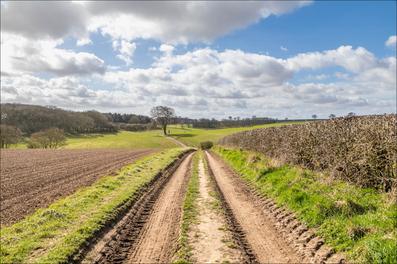
In open countryside above Welton now, here looking back along the track

We head north towards Wauldby Manor Farm

The Wolds Way and the High Hunsley Circuit follow the same route for some of the way

We walk across Wauldby Green

Fox Covert and Braffords Clump on our right

We continue along a track which leads to York Grounds Farm, with big skies enhancing the scenery...


Looking back


Beyond York Grounds Farm we arrive at the Riplingham road and cross it to join a path a few yards further along the road

A view back, as we walk across Howe Hill

The final leg of the walk - quick progress can be made here as the path is mostly straight and on the level...


We pass under the bridge of a dismantled railway line

St Michaels's Church Skidby

We follow the path around the back of the church to our journey's end

Finally, a short diversion to see Skidby Windmill, an iconic landmark in these parts. The four large white sails have been removed temporarily and are being restored by a specialist millwright in Norfolk
Follow the link for more walks in East Yorkshire (117)
