
Route: Low Fell and Darling Fell
Area: Western Lake District
Date of walk: 8th July 2020
Walkers: Andrew and Gilly
Distance: 3.8 miles
Ascent: 1,400 feet
Weather: Sunny at first but soon clouded over
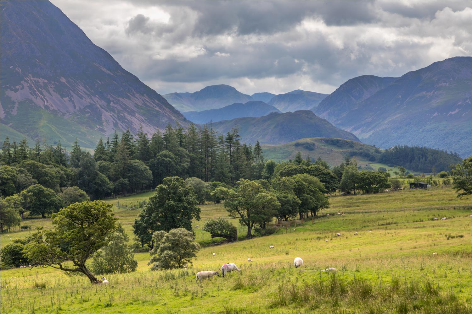
Low Fell is one of our favourites in the district, and we’ve been up here over 40 times. As today’s walk would be a linear route, we left one car at the end point of the walk and then drove over in the other car to the start – a small layby just outside the village of Thackthwaite. After walking into the village we turned right to follow the signed path uphill. There are good views back over Lorton Vale during this early section of the walk
We soon arrived on the undulating ridge of Low Fell. The views from here are wonderful all the way along, but sadly the weather had deteriorated by now and the light was flat and insipid. The best vantage point is at the furthest end. Anyone who turns back when reaching the north summit cairn is missing the whole point of the walk. The view from the cairn just below the south summit is described by Wainwright as a ‘view of classical beauty, an inspired and inspiring vision of loveliness…..a scene of lakes and mountains arranged to perfection’. The light today gave us no reason to linger at the summit, but click here to see the views in better conditions
After retracing our steps from the summit for a short distance, we made the energy sapping steep descent and re-ascent up neighbouring Darling Fell. Darling Fell is not a Wainwright, although in some ways it deserves to be as the views from here rival those from Low Fell. However the light was still flat so without ado we descended west, with views of the Irish Sea and the hills of Scotland in the distance. The public footpath marked on the OS map does not accurately record the location of the path on the ground, but there are no navigation difficulties and route finding is straightforward
We eventually arrived at the old Mosser Road and descended down it to the Loweswater road. For anyone who prefers a circular route, it’s a very pleasant stroll back to Thackthwaite along quiet country lanes, or alternatively Loweswater could be included in the round – click here for the route
For other walks here, visit my Find Walks page and enter the name in the ‘Search site’ box
Click on the icon below for the route map (subscribers to OS Maps can view detailed maps of the route, visualise it in aerial 3D, and download the GPX file. Non-subscribers will see a base map)

Scroll down – or click on any photo to enlarge it and you can then view as a slideshow

Looking across Lorton Vale from the layby at the start of today's walk

We walk through the pretty village of Thackthwaite, and leave the lane just around the corner

Another view back over Lorton Vale at the start of the climb

The Low Fell ridge, which we'll follow right to left

We climb up beside a line of old oak trees

Looking back to Whiteside

Great Gable in the background

Lorton Vale

Crummock Water comes into view as we look back along our path

Looking back to Lorton...


We gain the summit ridge

Lanthwaite Green enjoying the last of the light,

Dull conditions for the rest of the walk, here looking back along the ridge

North top of Low Fell

We continue along the ridge

South top of Low Fell, but for the best views it's necessary to continue a little further

Crummock Water and Buttermere - even in this flat light it's a wonderful vista

Loweswater and Holme Wood

Looking back to Low Fell after the energy sapping down and up to Darling Fell

Summit of Darling Fell looking towards Crummock Water

We start the descent from Darling Fell, with views over the Solway Firth into Scotland

Loweswater below

Holme Wood on the far side of Loweswater

We join the old Mosser Road, which is just a footpath these days

Just beyond this point we arrive at the Loweswater road and the end of the walk
