Route: Low Fell
Area: Western Lake District
Date of walk: 1st August 2026
Walkers: Andrew and Gilly
Distance: 4.5 miles
Ascent: 1,500 feet
Weather: Mixed sun and cloud, very windy on the top
Low Fell is one of my favourite places and the fell which I chose for my 1,000th Wainwright ascent in May 2018.
We parked as usual in one of the few roadside spaces outside the small settlement of Thackthwaite on the west side of Lorton Vale. We walked into the village and turned right at a signpost next to Thackthwaite Farm and followed a rocky lane uphill. This leads out onto the fields and from here the obvious route follows a line of old oak trees up to the intake wall. There are lovely retrospective views from here.
On reaching the intake wall we turned right to follow a grassy path which curves around the fellside into a small raised valley, where the views are lost – this is a rather dreary section in truth, but it’s soon over and before long we arrived on the ridge line, heading south with ever improving views along the way. The skies gradually turned darker but dramatic cloud formations compensated for the disappearance of the sun
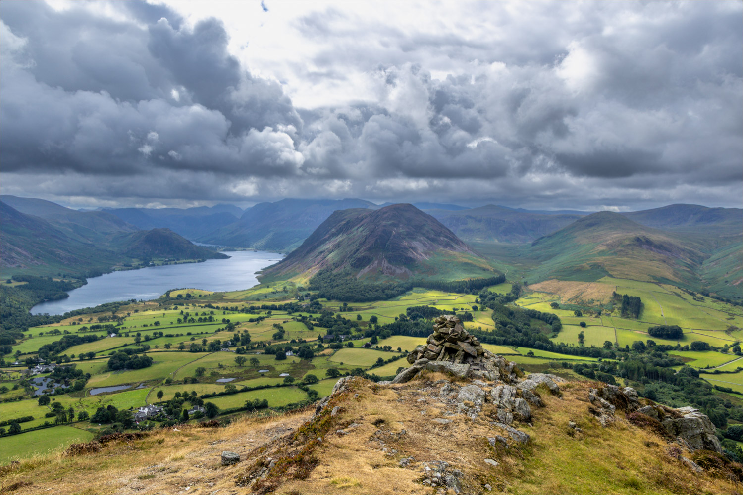
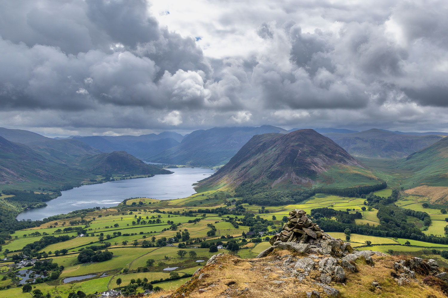
We followed the path along the undulating ridge to the north top, marked by a small cairn. Anyone turning back here would be missing the whole point of the walk. In order to see why I rate this fell so highly, it’s necessary to carry on to the south top, about 10 minutes further along the ridge. There’s a cairn just below the south top, at the very end of the ridge, and from here it’s possible to enjoy one of the finest views in lakeland. In the words of Alfred Wainwright, ‘the view is of classical beauty, an inspired and inspiring vision of loveliness…a scene of lakes and mountains arranged to perfection’
A fierce wind caused the skies to change constantly and we spent some time here watching as the changing light illuminated the wonderful scene. What’s more, we had the place to ourselves. Having drunk our fill we retraced our steps back to the start
For a longer route, which also takes in Darling Fell and Loweswater click here and for a very steep direct descent (which I don’t recommend) click here
Click on the icon below for the route map (subscribers to OS Maps can view detailed maps of the route, visualise it in aerial 3D, and download the GPX file. Non-subscribers will see a base map)

Scroll down – or click on any photo to enlarge it and you can then view as a slideshow
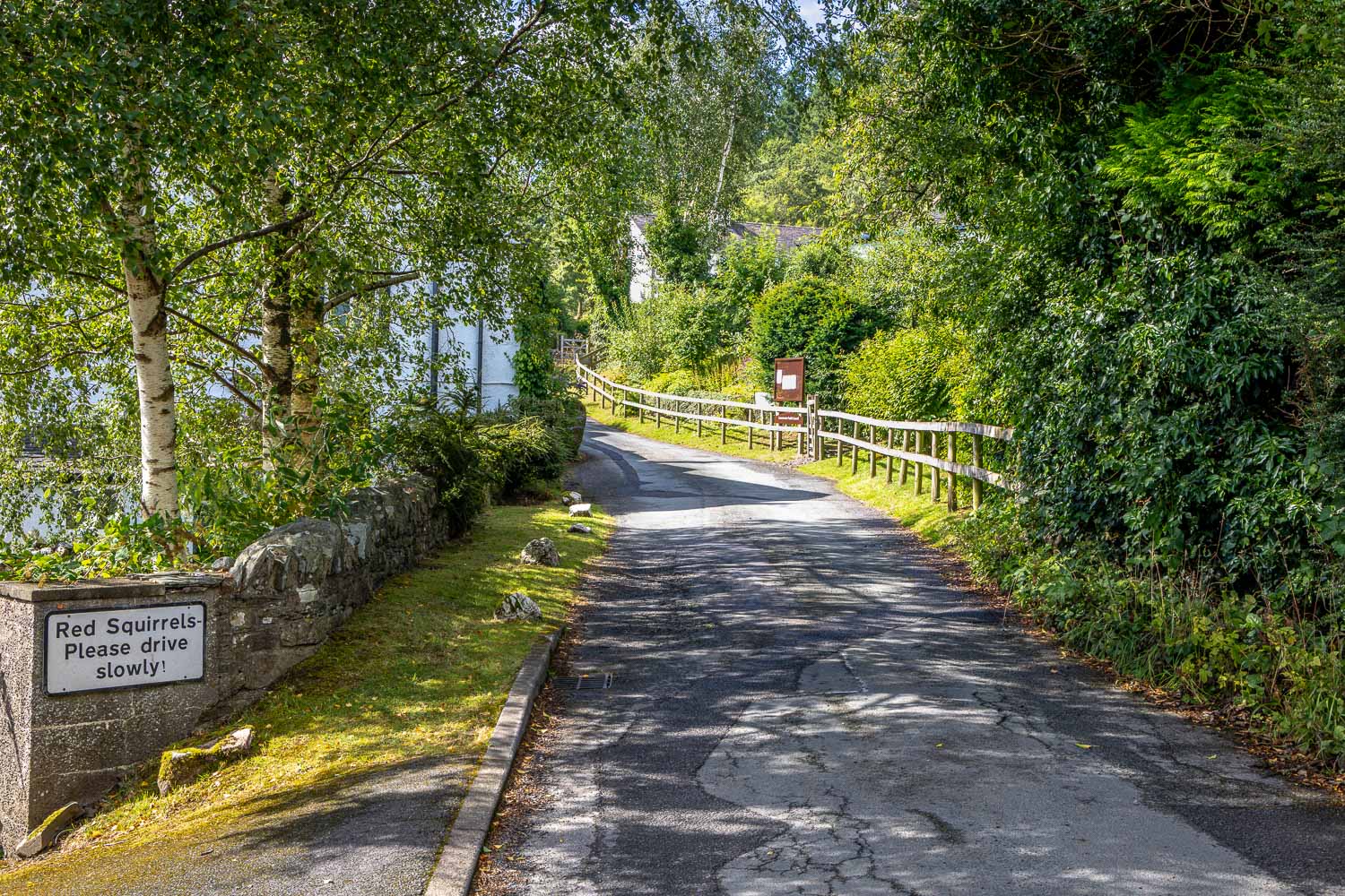
We walk into the village of Thackthwaite, keeping a careful lookout for delinquent red squirrels
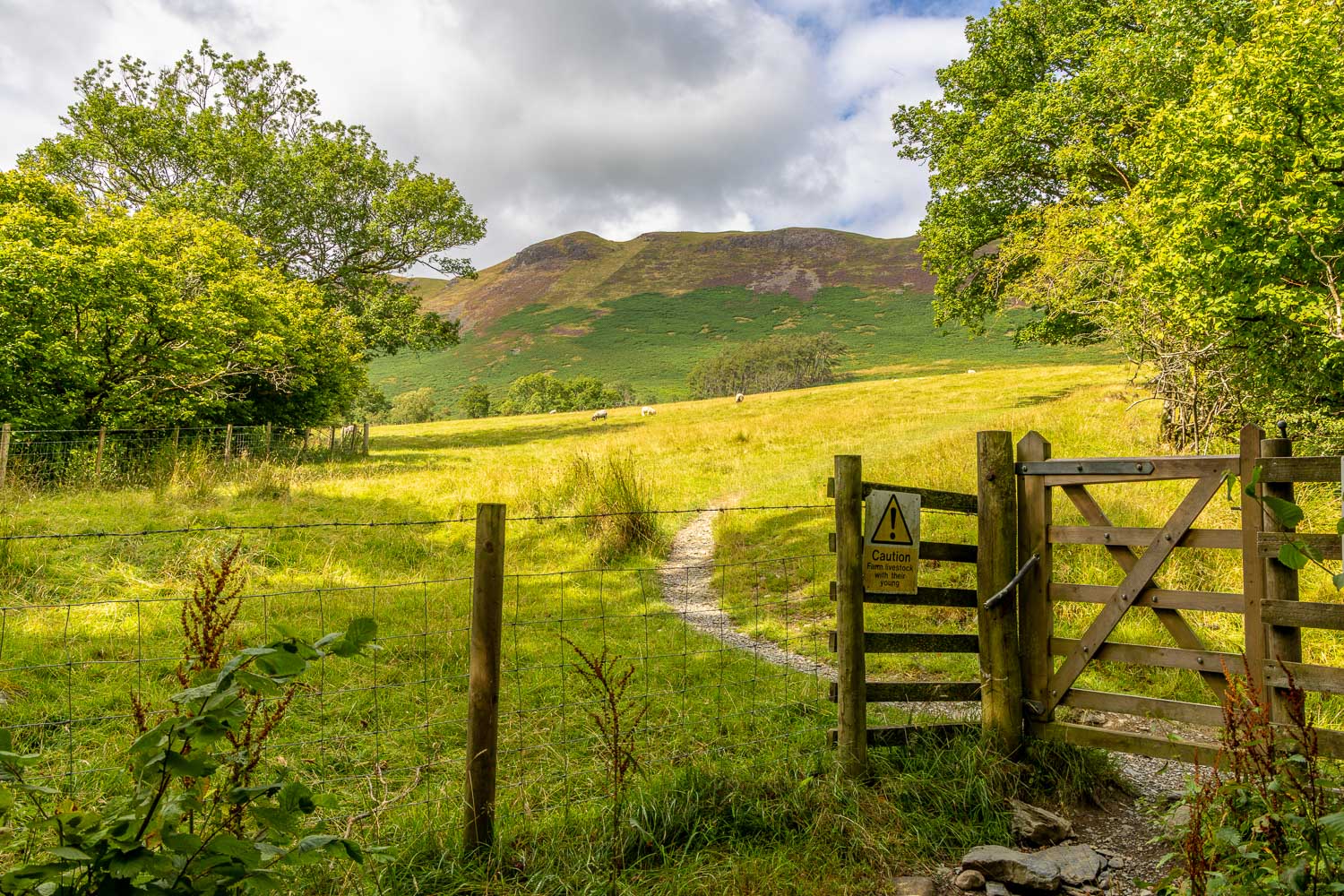
Having followed a rough stony track out of the village we follow a path through the fields. The Low Fell ridge is ahead
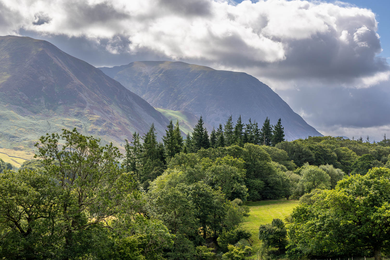
Views of the surrounding fells as we climb uphill - Whiteside and Grasmoor...
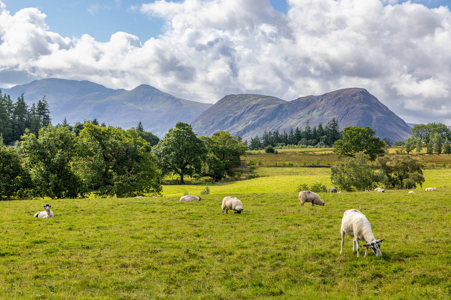
High Stile, Red Pike and Mellbreak
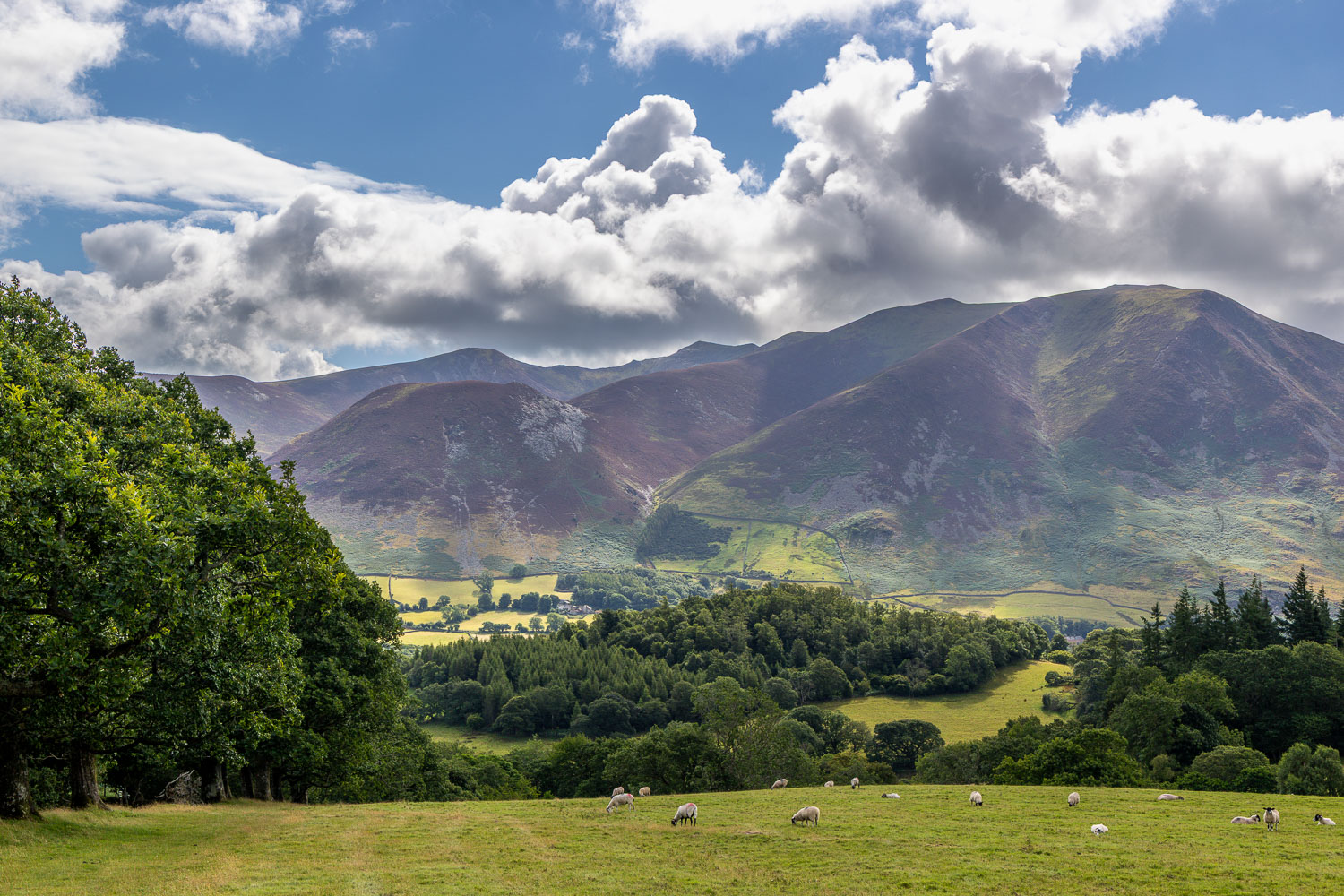
Looking back over Lorton Vale to Hopegill Head and Whiteside
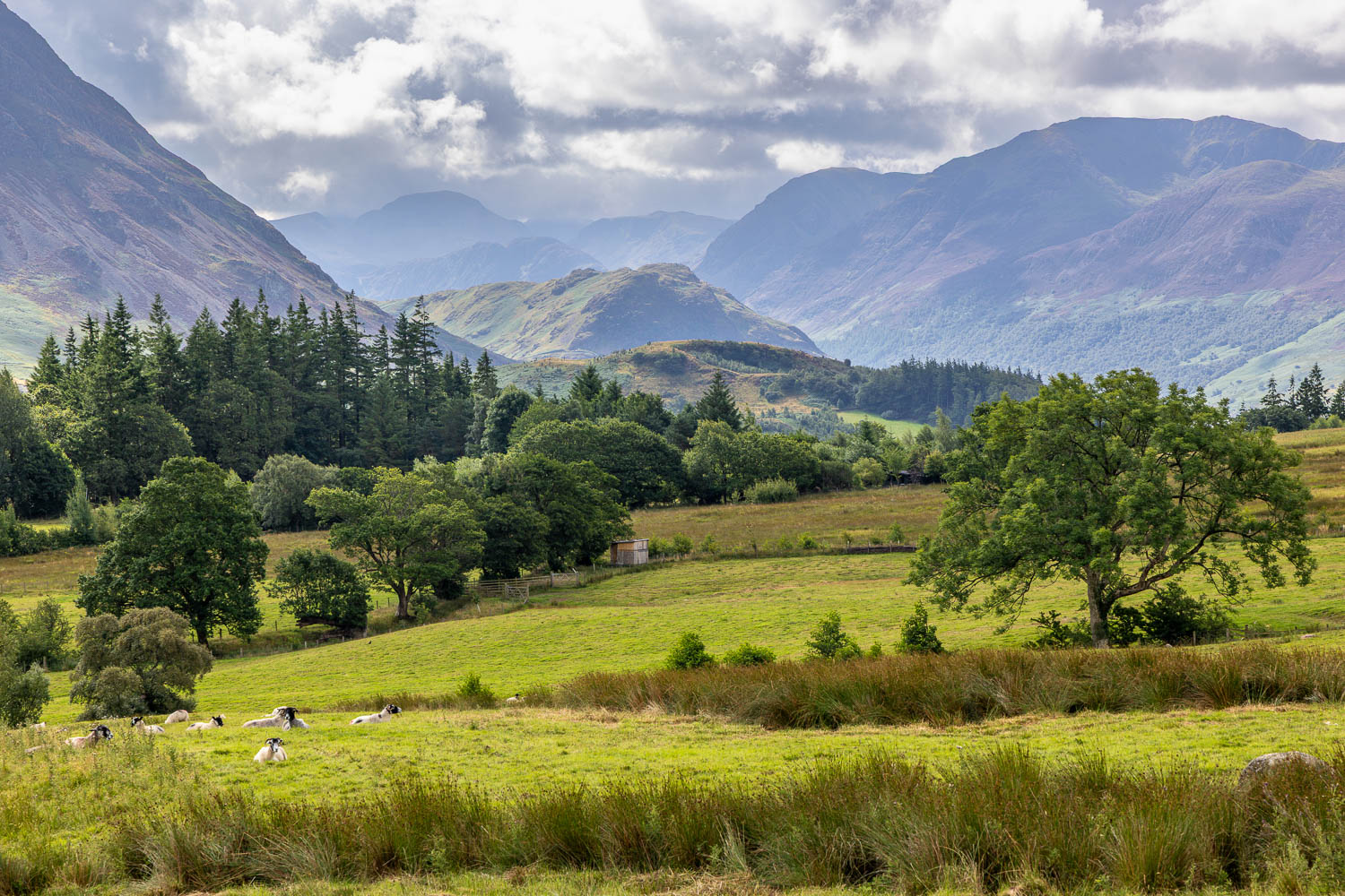
Rannerdale Knotts, and Great Gable in the background
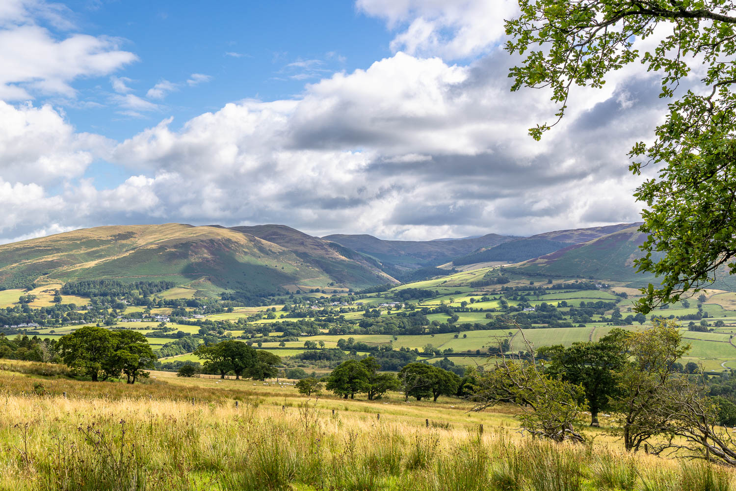
Lorton and its fells
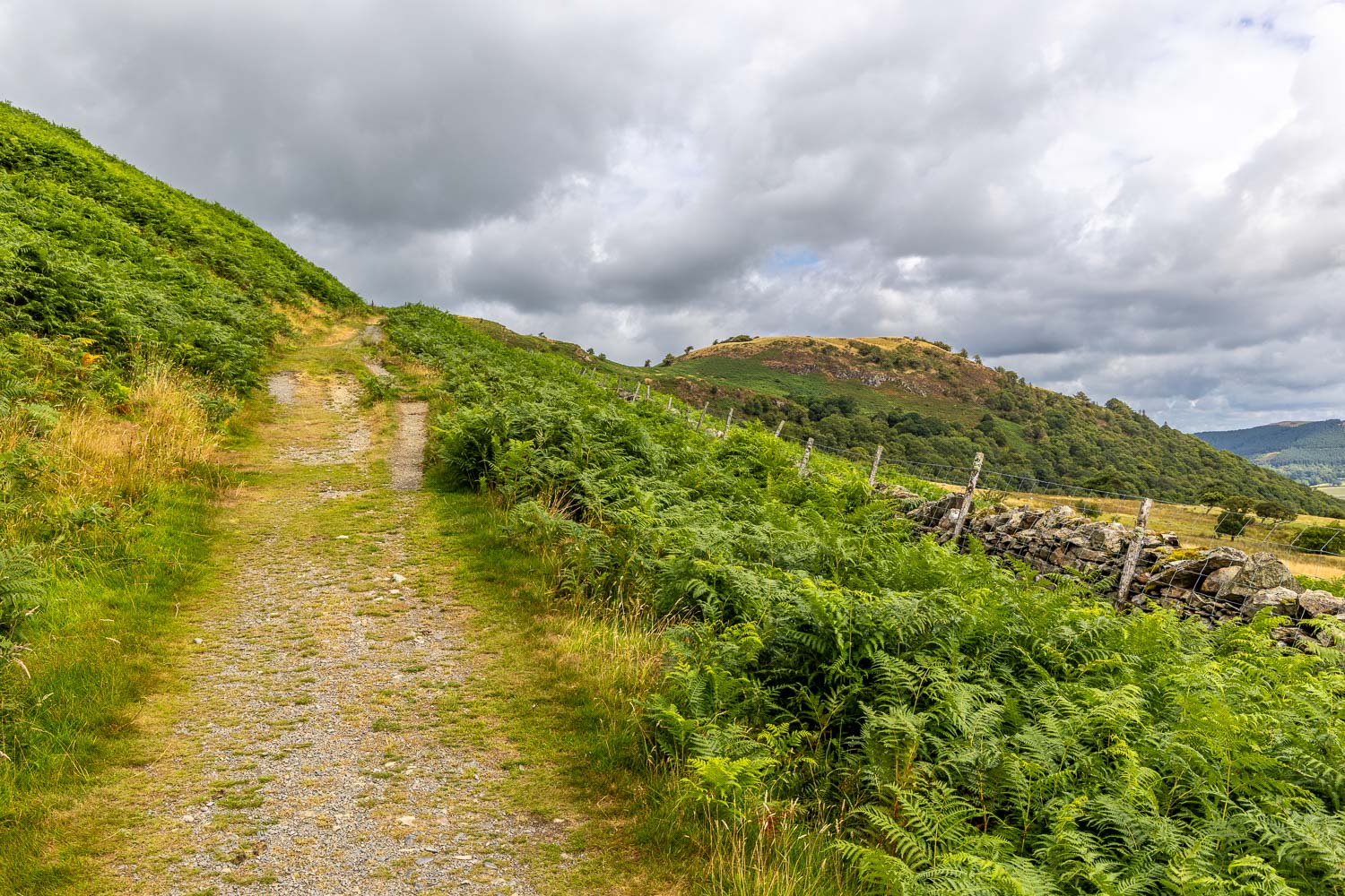
We follow a slanting path which heads away from Low Fell at first
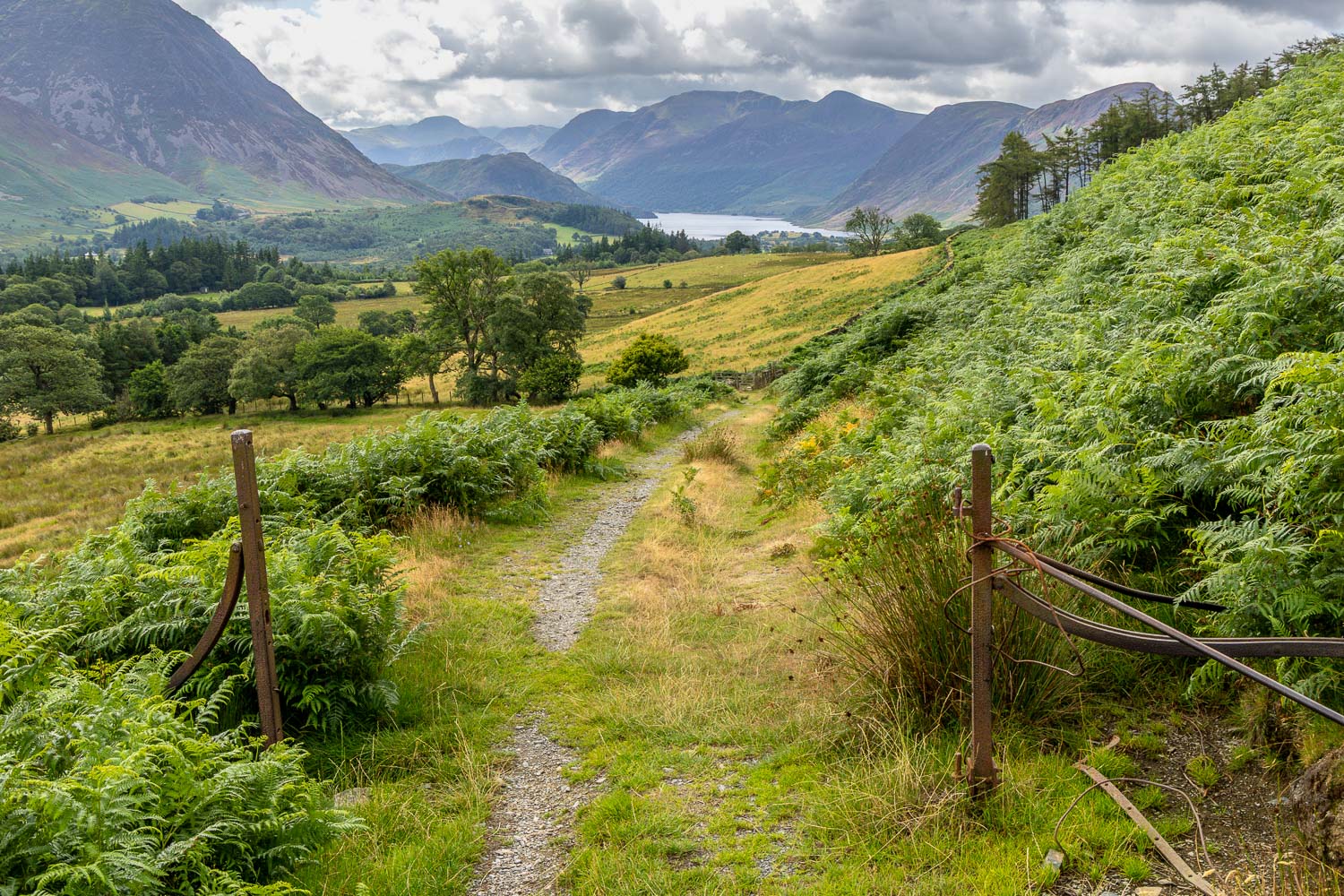
Crummock Water comes into view as we look back
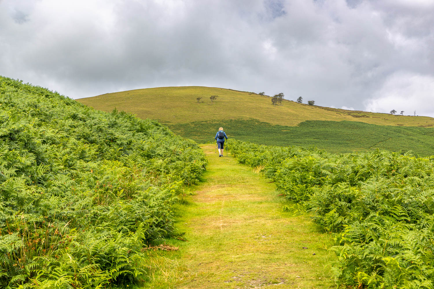
We follow the grassy path towards Fellbarrow
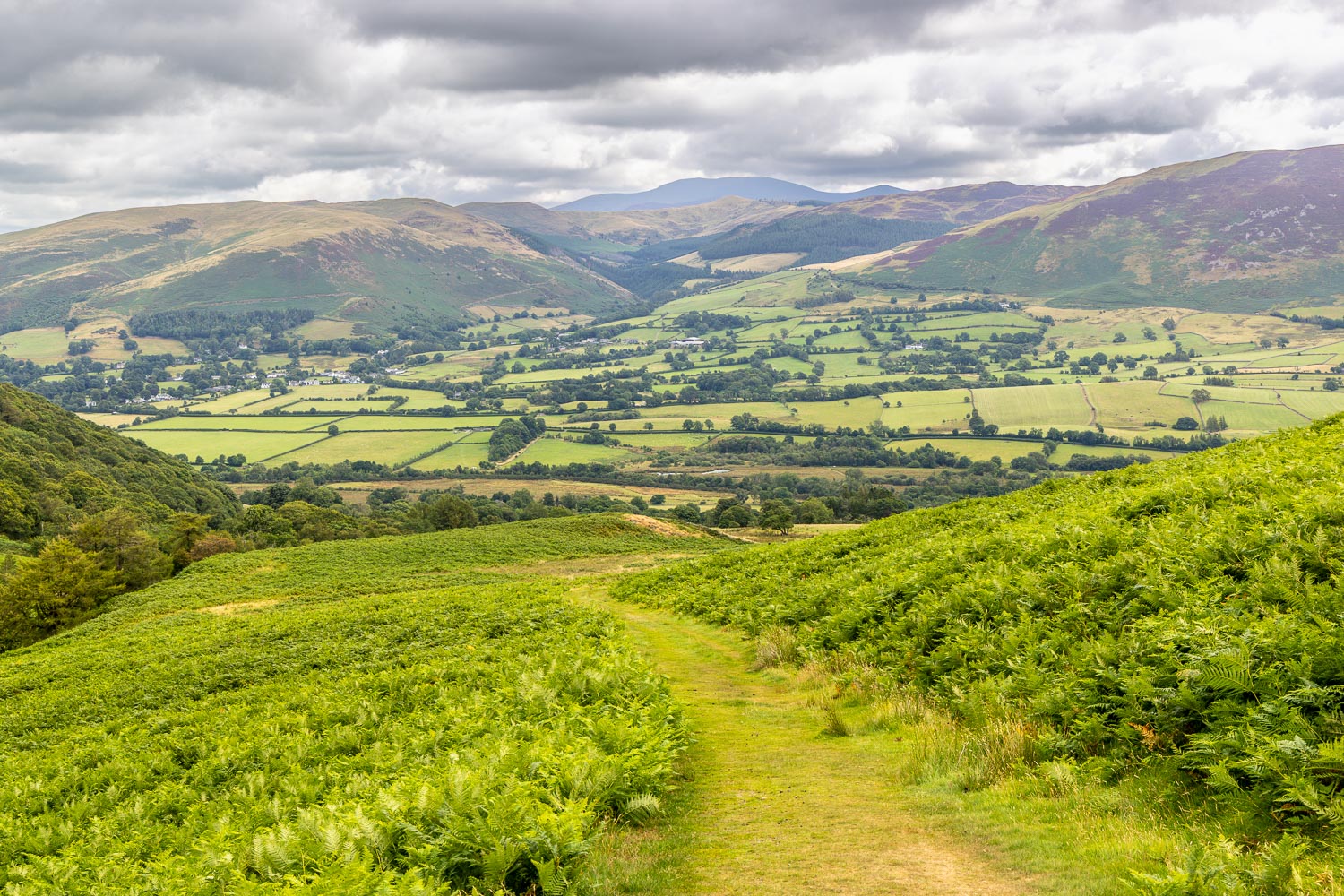
Looking back over Lorton Vale
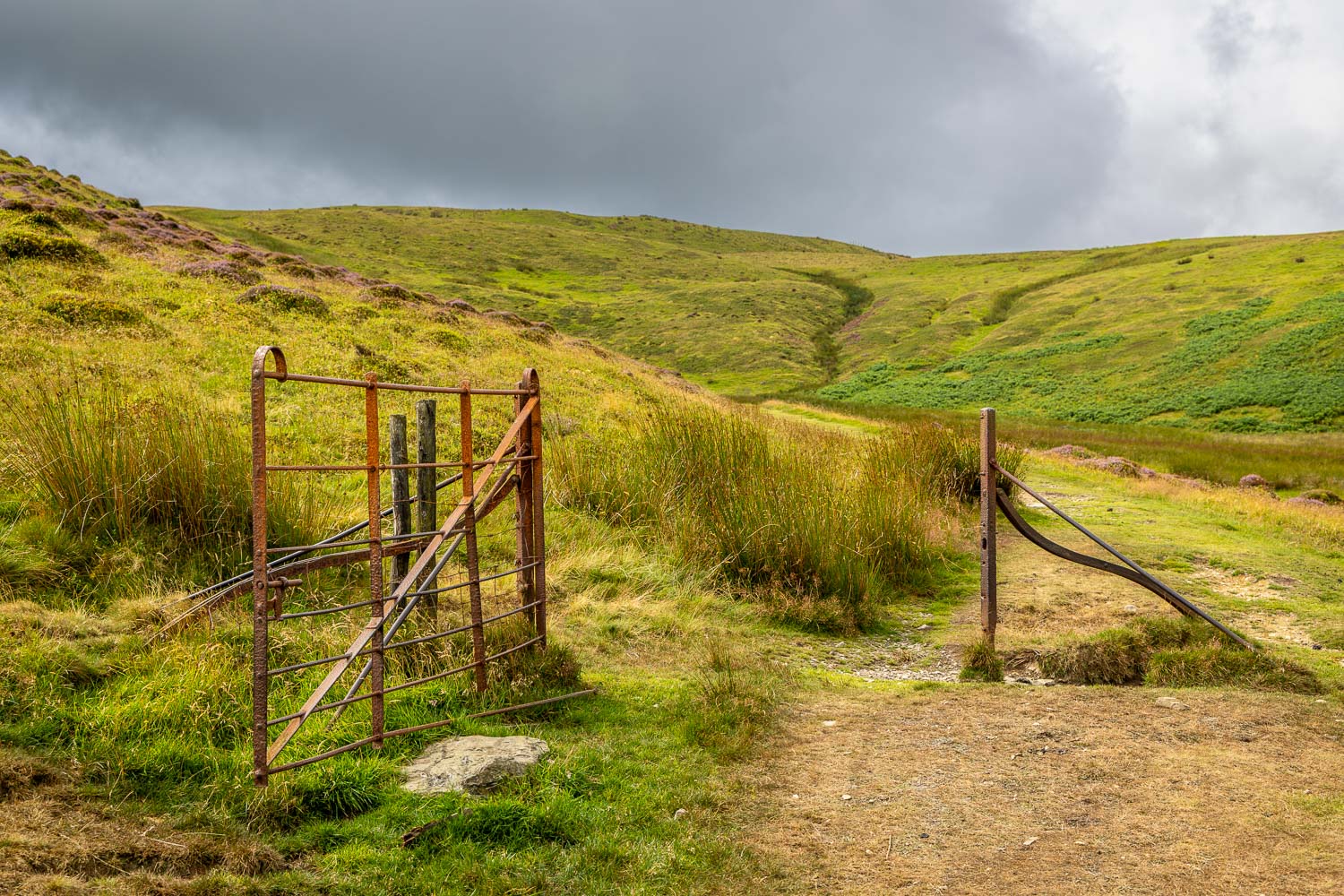
The views are lost for a while as we follow a zig zag path up a raised valley
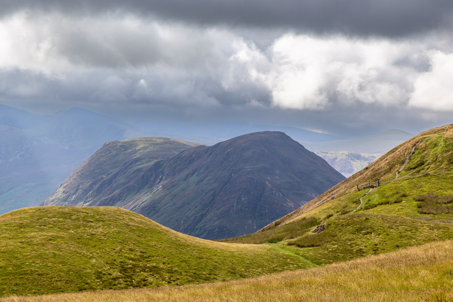
We arrive on the Low Fell ridge and follow the undulating path on the right. Mellbreak looms up beyond
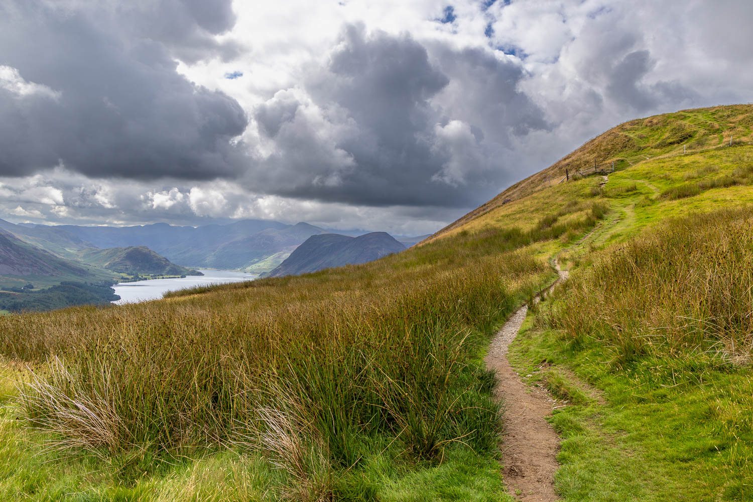
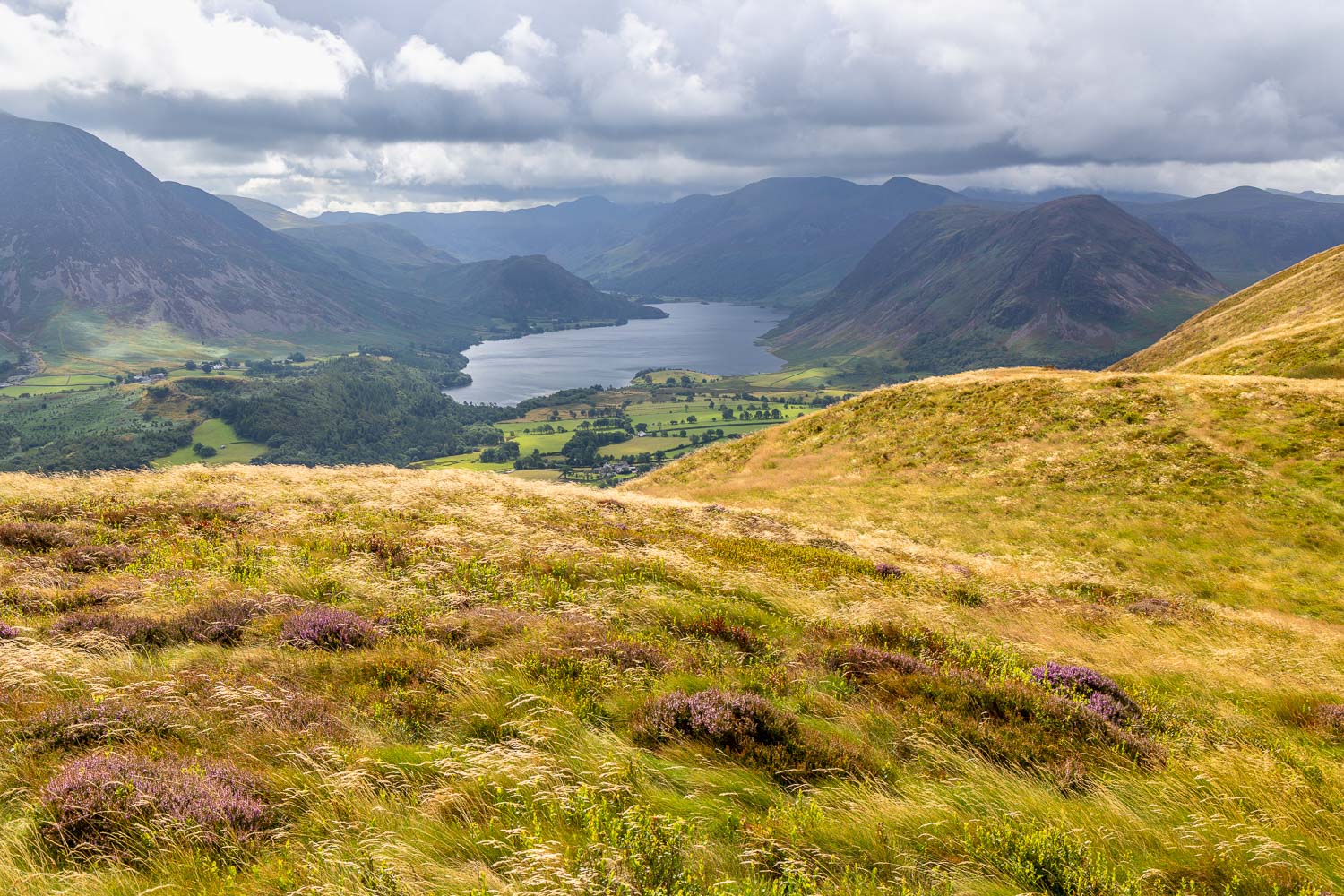
Ever improving views of Crummock Water as we continue along the ridge...
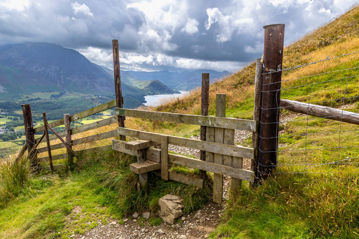
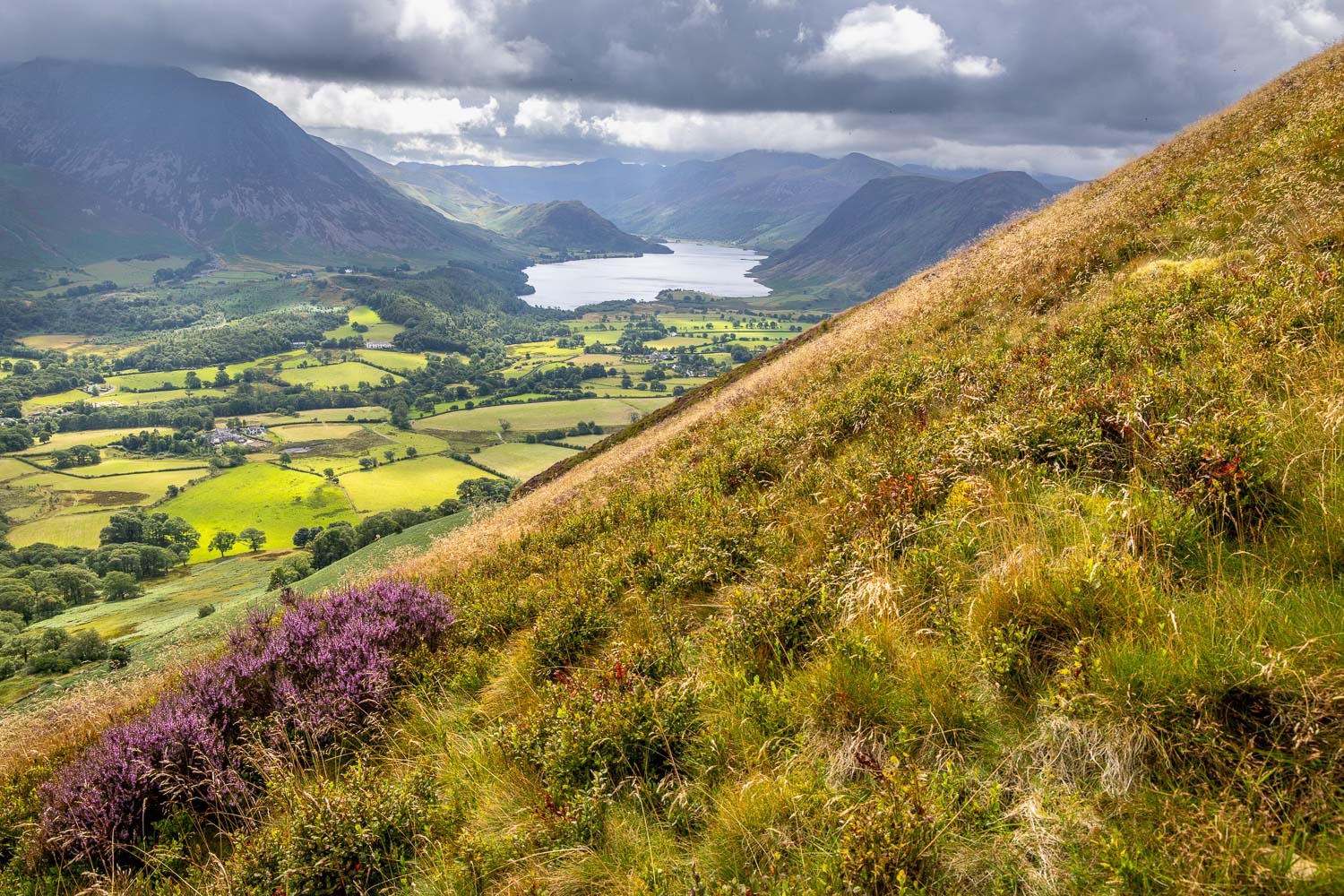
Heather is starting to bloom on the fellside...
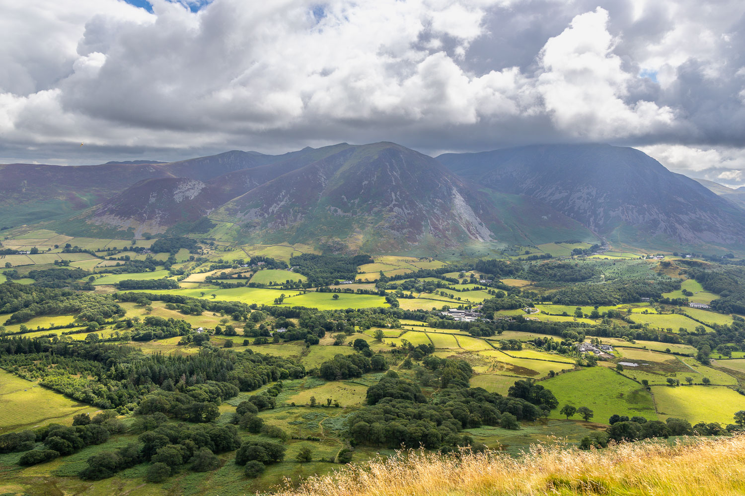
Sweet Lorton Vale
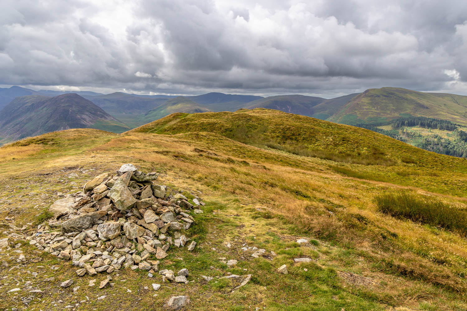
We arrive at the north top of Low Fell. Anyone who turns back here will curse when they see the photos from the south top, further along the ridge
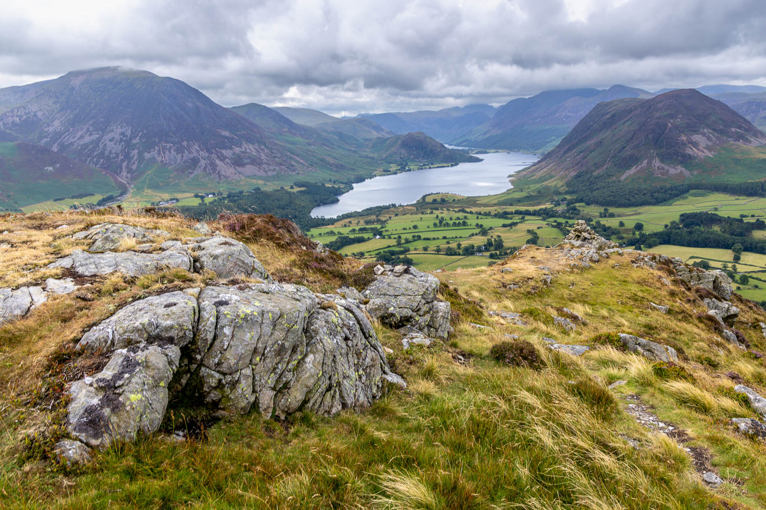
We arrive at the south top of Low Fell and make our way down to the cairn at the very end of the ridge
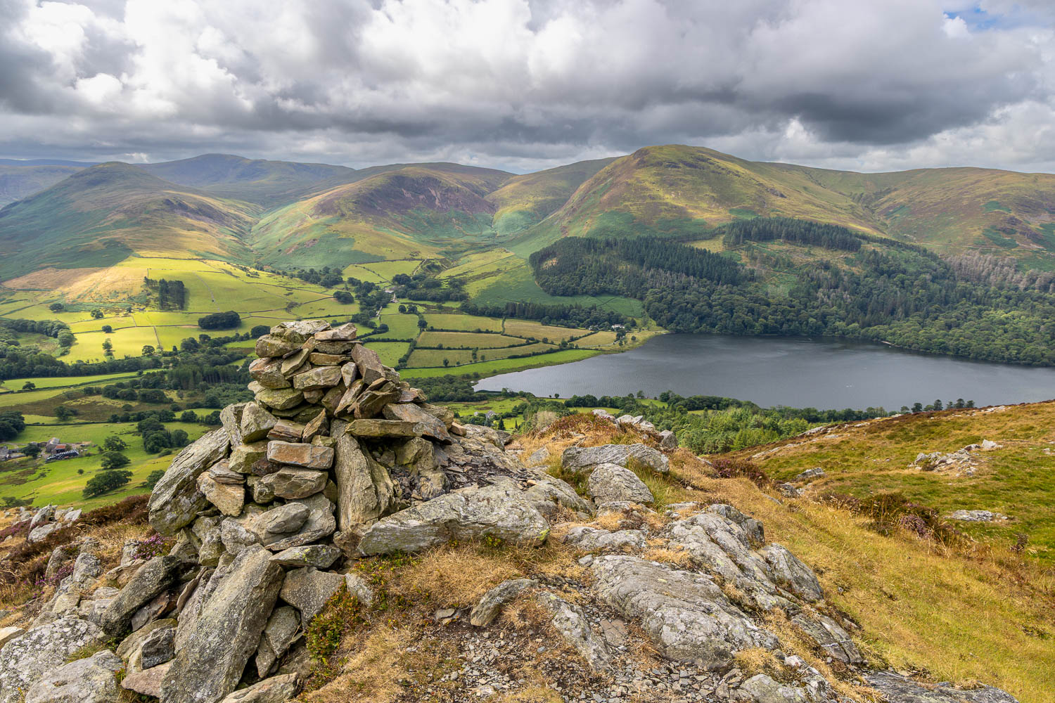
Loweswater
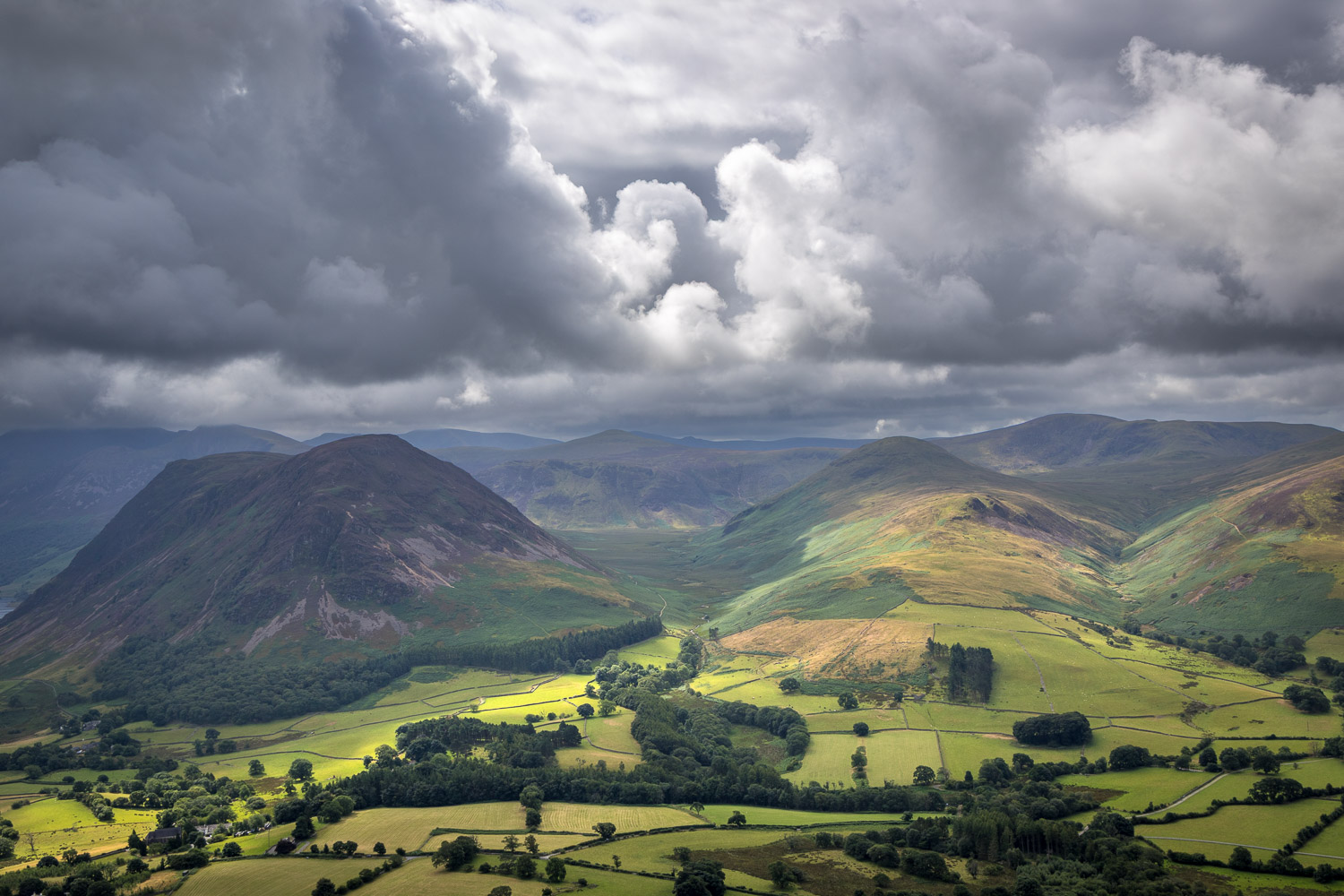
Dramatic skies over lonely Mosedale, which runs between Mellbreak and Hen Comb
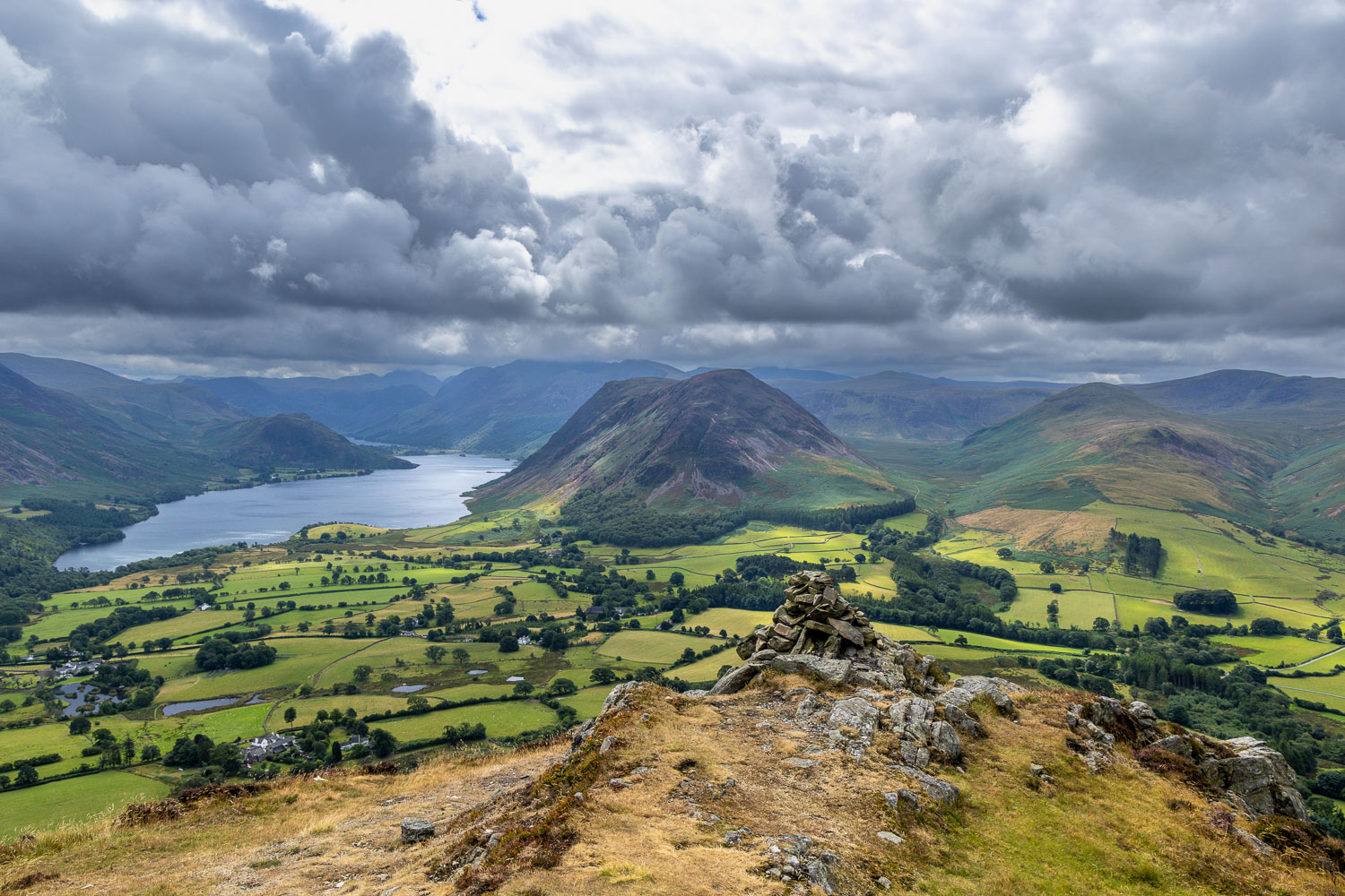
The wonderful view from the southern end of Low Fell, looking over Crummock Water...
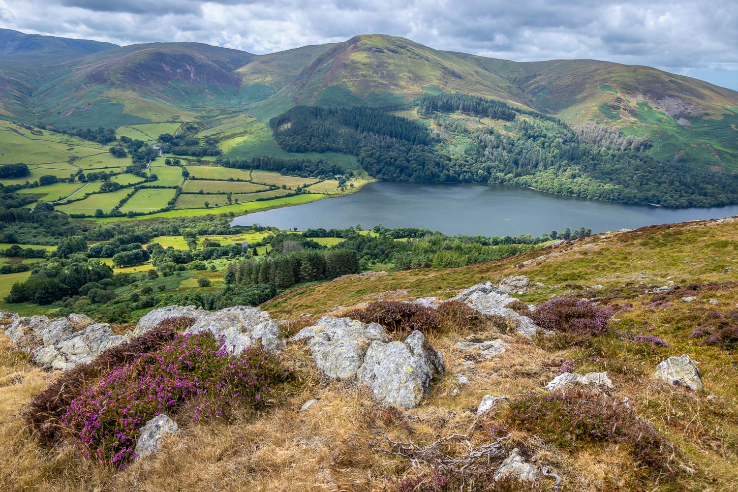
Loweswater
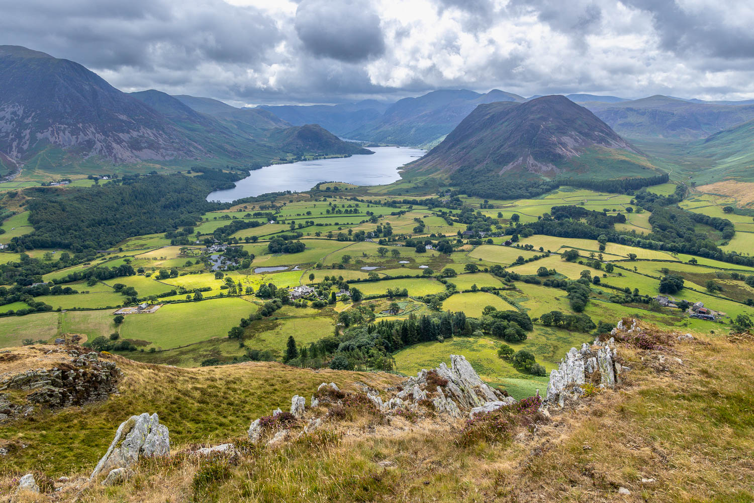
It was hard to turn our backs on such a scene. but it was time to be getting back
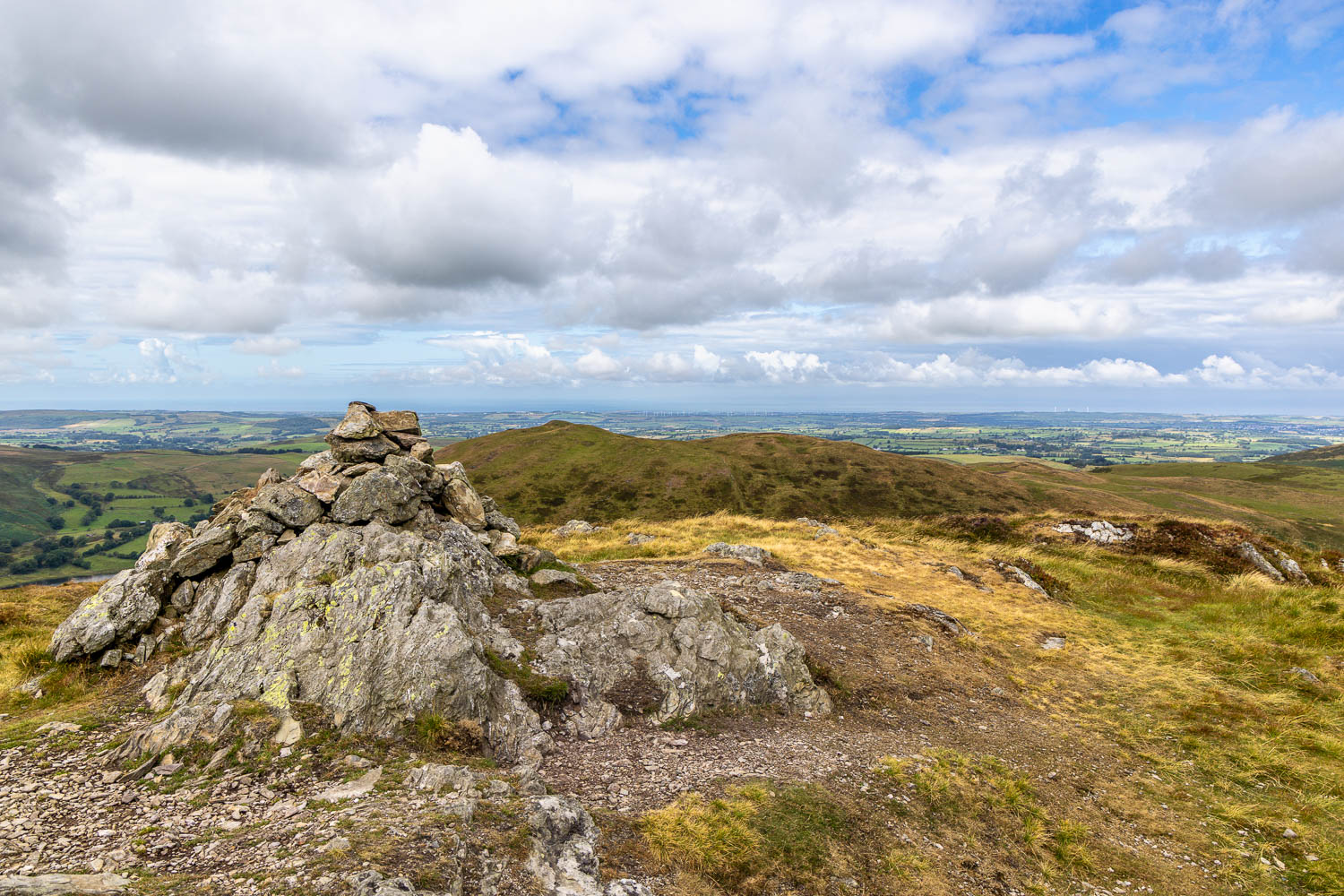
We pass by the north top again, with the Irish Sea in the distance...
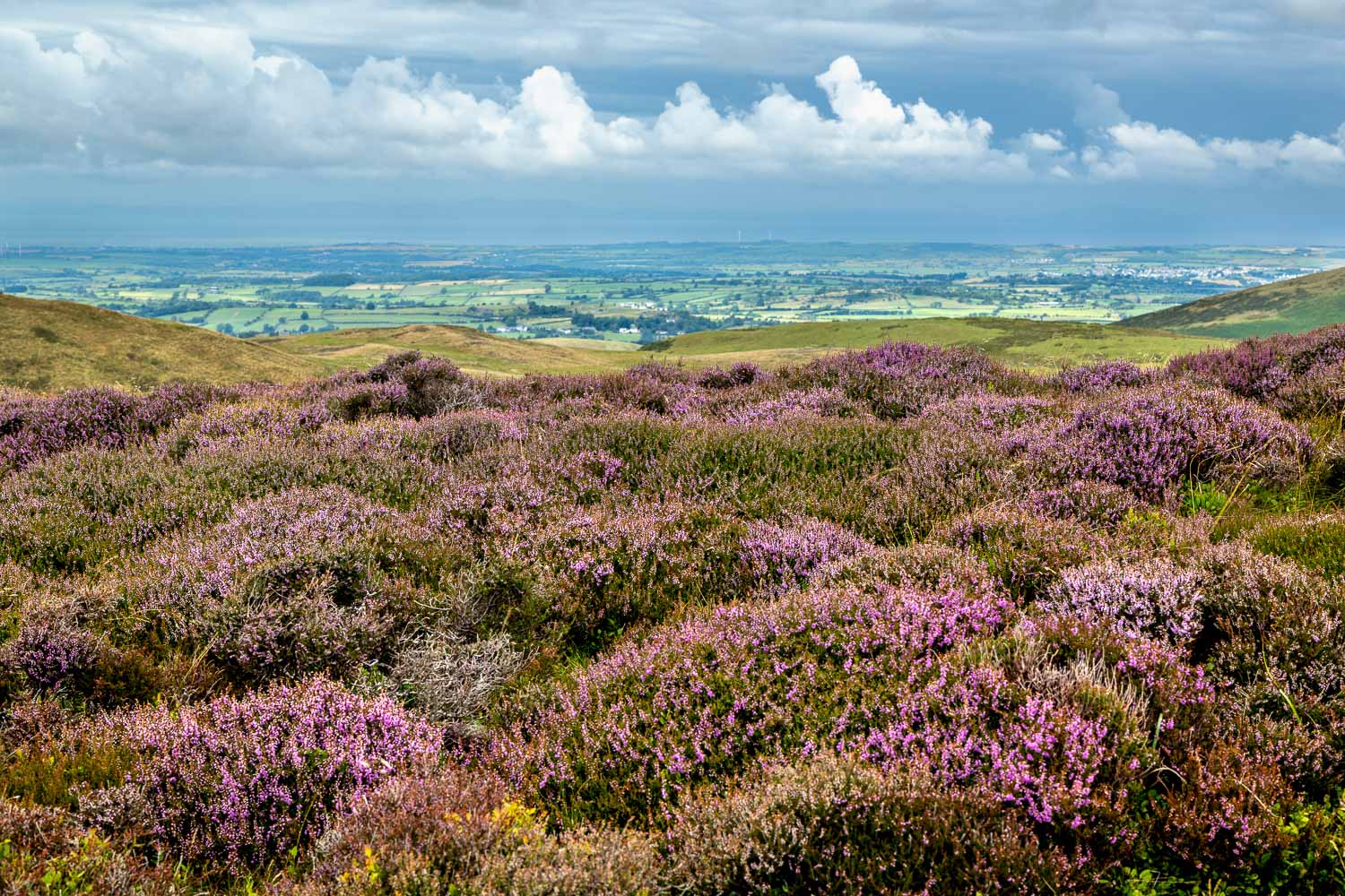
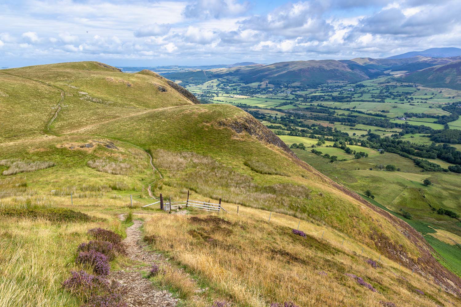
We retrace our steps along the knobbly ridge
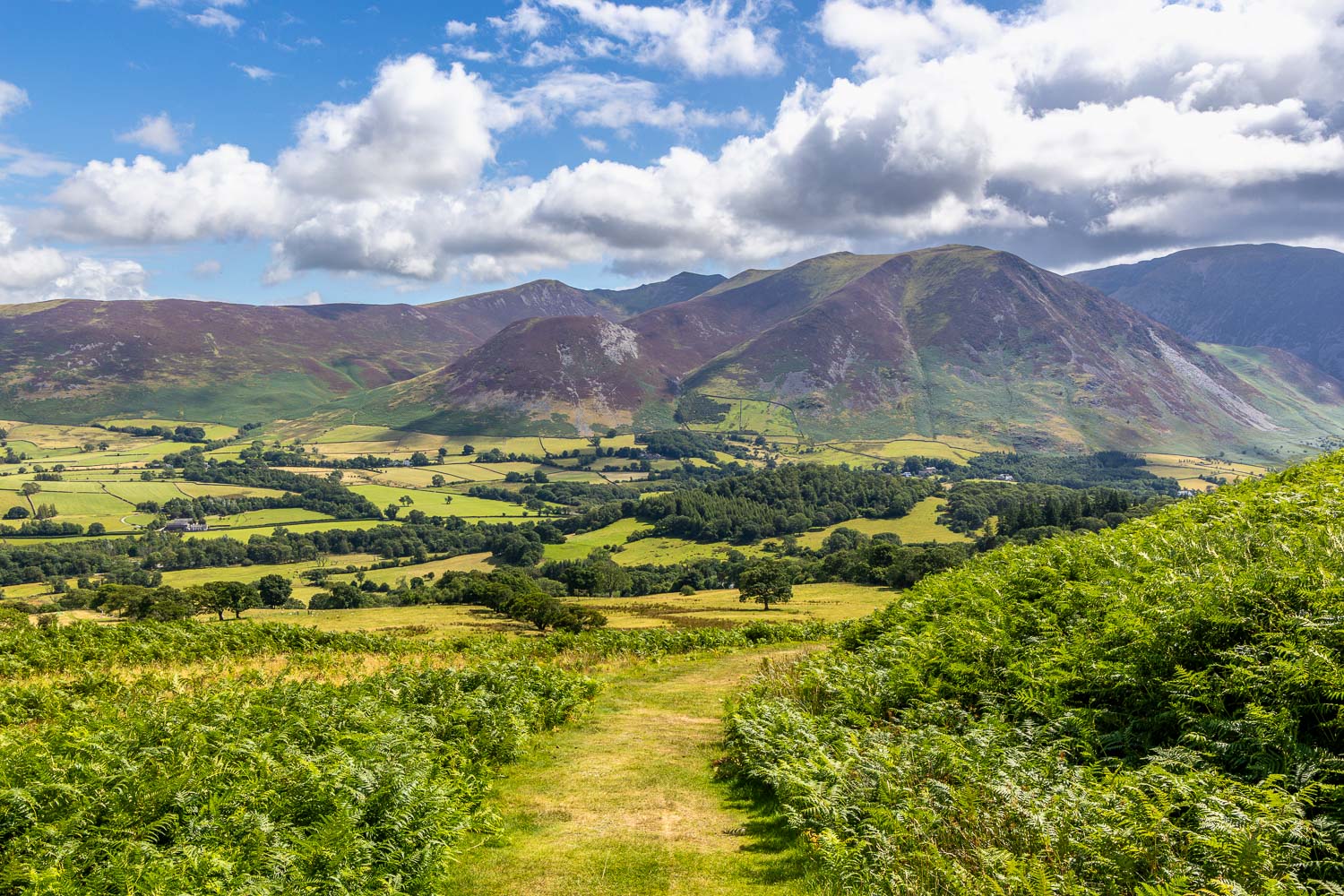
Blue skies return as we descend back into Lorton Vale
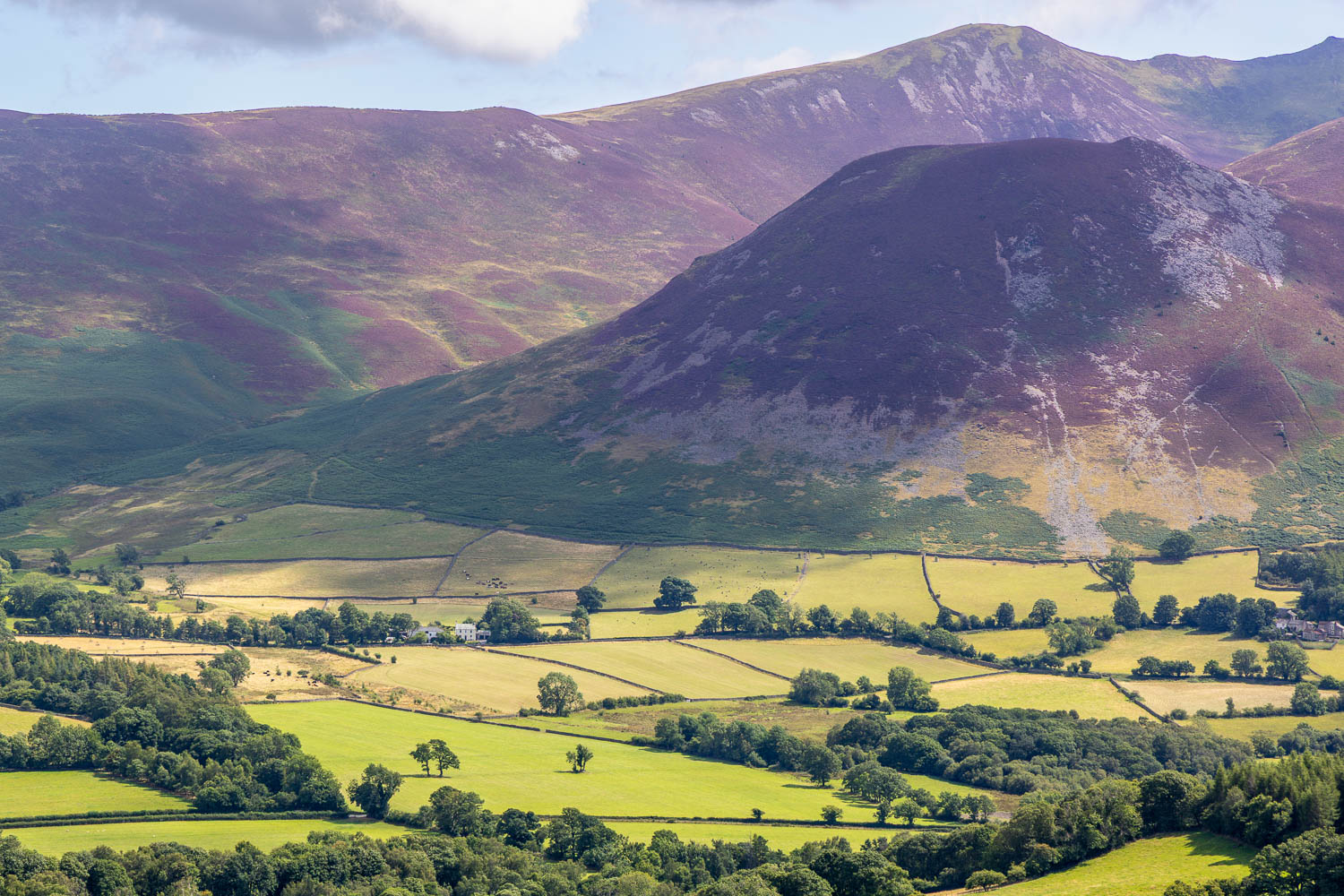
Heather on the flanks of Lorton Dodd and Ladyside Pike
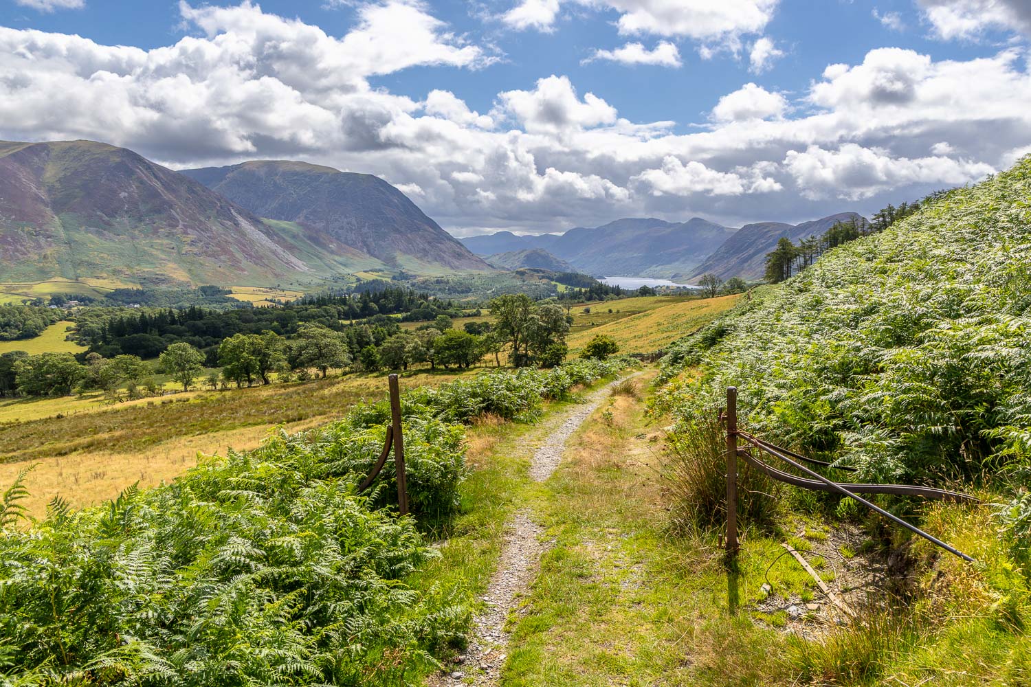
Last view of Crummock Water as we descend back to the start of another wonderful visit to Low Fell