
Route: Chalkland Way Stage 2 – Bugthorpe to Thixendale
Area: East and North Yorkshire
Date of walk: 12th April 2019
Walkers: Andrew and Gilly
Distance: 8.1 miles
Ascent: 1,000 feet
Weather: Mixed cloud and sun, quite cold
The Chalkland Way is a 40 mile long distance walk which explores the most northerly chalk outcrop in Britain, visiting the hills and valleys of the Yorkshire Wolds. The route was first established in 1994 by Ray Wallis, and is a worthy addition to the other long distance walks in the region – the Wolds Way, the Centenary Way, the Minster Way and the Wilberforce Way
We completed Stage 1 of the walk from Pocklington to Bugthorpe in February – click here for details – and ever since have been looking forward to an opportunity to complete the next leg. A window presented itself today and, since this is a linear walk, we had to use two cars, leaving one in Thixendale before driving to Bugthorpe for the start of the walk
After passing by St Andrew’s Church we walked out of the village along a quiet country lane and, just before the boundary between East and North Yorkshire, we joined a path across the fields. The way was lined with blackthorn hedges in full bloom, which enhanced the lovely rolling scenery. After passing by Lower and High Sleights Farms we descended into Deepdale and, after a short walk along the valley bottom, made the very steep ascent up its other side. This was the only place on the entire route when we encountered fellow walkers, and they were going in the opposite direction
The weather had clouded over earlier but by good fortune the skies cleared at the top of Deepdale, so that we were able to enjoy the huge views over the surrounding countryside in good light. We followed a succession of lanes and paths before descending into Milham Dale, which merges into Thixen Dale a little further on. Our good luck continued as this final section of the walk was completed in glorious weather with big skies which showed the landscape at its very best. It was a wonderful walk, and we look forward to Stage 3
Click on the icon below for the route map (subscribers to OS Maps can view detailed maps of the route, visualise it in aerial 3D, and download the GPX file. Non-subscribers will see a base map)

Scroll down – or click on any photo to enlarge it and you can then view as a slideshow

We start today's walk from the same spot we ended Stage 1 of the Chalkland Way a few weeks ago - opposite St Andrew's Church Bugthorpe

We follow a quiet lane out of the village

Just before the boundary between East and North Yorkshire we leave the road and turn right to follow a path along the fields...


Looking across to Leppington

We pass through this inviting gap in the hedge


Blackthorn blossom lining the path...


We pass by Lower Sleights Farm

Looking back to the farm

Sleights Lane

A short road section on Greet's Hill

Looking back along the road

Near High Sleights Farm it would be easy to miss this sign (we did, and had to retrace our steps)

We descend into Deep Dale and cross a couple of footbridges...


Deep Dale...


The start of a steep climb out of the dale, along the line of trees

Looking down to the head of the valley

Our efforts are rewarded by this view back over the Vale of York

We follow a path at the edge of this field

We turn left here to join a country lane which passes by Wold Farm

Looking back

Looking across to Uncleby Hill

Beyond Wold Farm

Looking across the fields

We follow the Roman Road for a short distance...

...before branching off along a track to Thixendale Grange

Rolling chalkland fields near Thixendale Grange

Milham Dale


Newborn lambs in the dale...


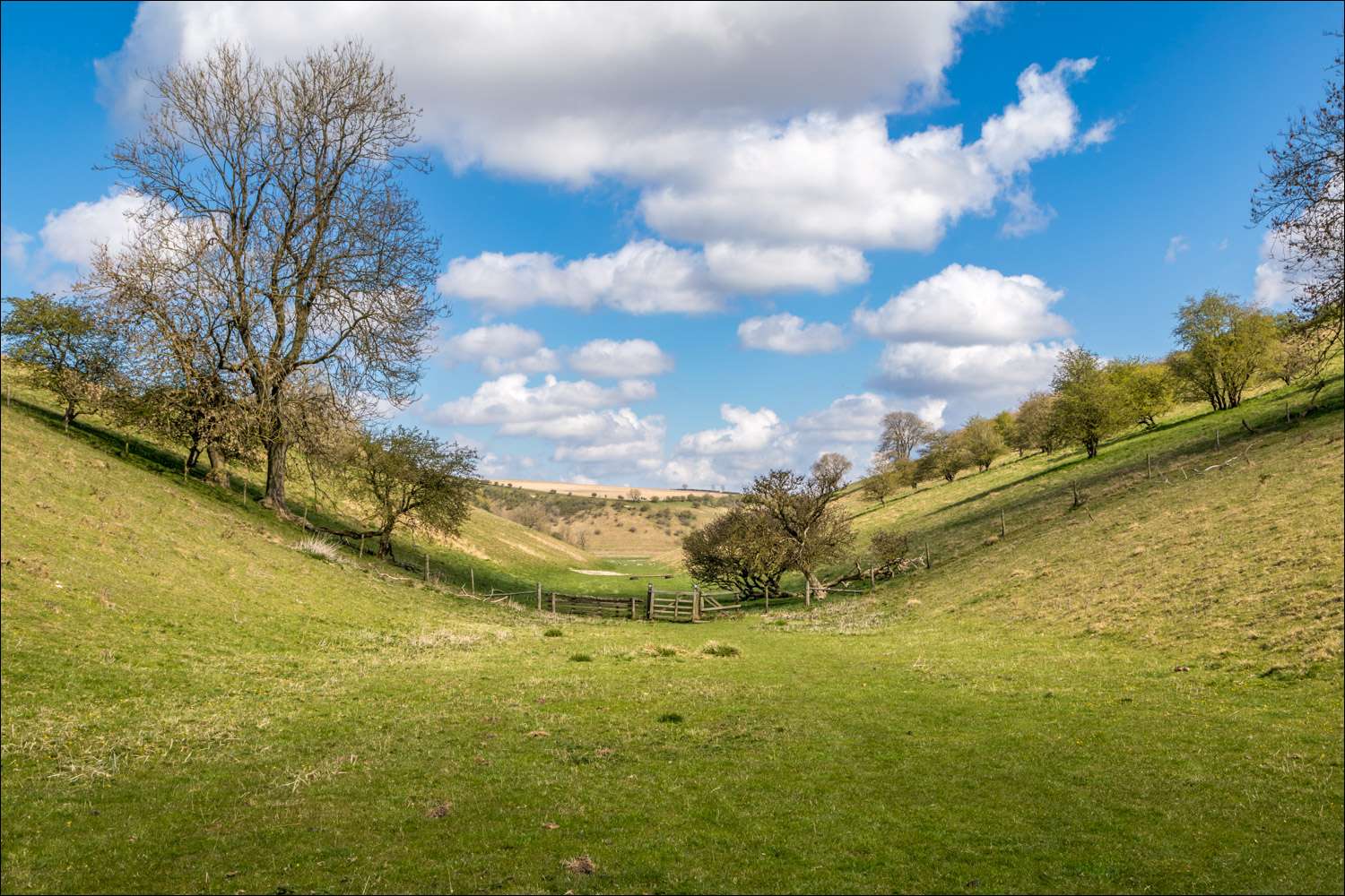
Milham Dale merges into Thixen Dale

A dew pond in Thixen Dale

Approaching Thixendale village

Looking back to Thixen Dale left and Water Dale right

Approaching journey's end


We'd started today's walk at St Andrew's Church Bugthorpe and we end it at St Mary's Church Thixendale

A couple of days later, it was wonderful to see the return of the bullfinches to our garden - they visit every year at this time of the year, attracted by the budding crab apple trees...


More spring activity - a long tailed tit...

...goldfinch...

...and lastly a great spotted woodpecker
Follow the link for more walks in North Yorkshire (152)
