Route: Reeth
Area: Yorkshire Dales
Date of walk: 22nd July 2026
Walkers: Andrew
Distance: 2.9 miles
Ascent: 100 feet
Weather: Sunny and warm
It’s been 10 years since my last visit to Reeth, the former lead mining capital of Swaledale. On that occasion I’d endured constant rain and I don’t have particularly fond memories of the walk. A bit of sunshine makes a big difference however and today I was more fortunate. As I did before, I parked at the village green in the centre of Reeth. There are plenty of spaces and a voluntary contribution is recommended. This walk is a very short and simple affair but could easily be combined with my earlier visit (click here for the link) to make a very satisfying 6 mile walk through some of the best scenery that Swaledale has to offer
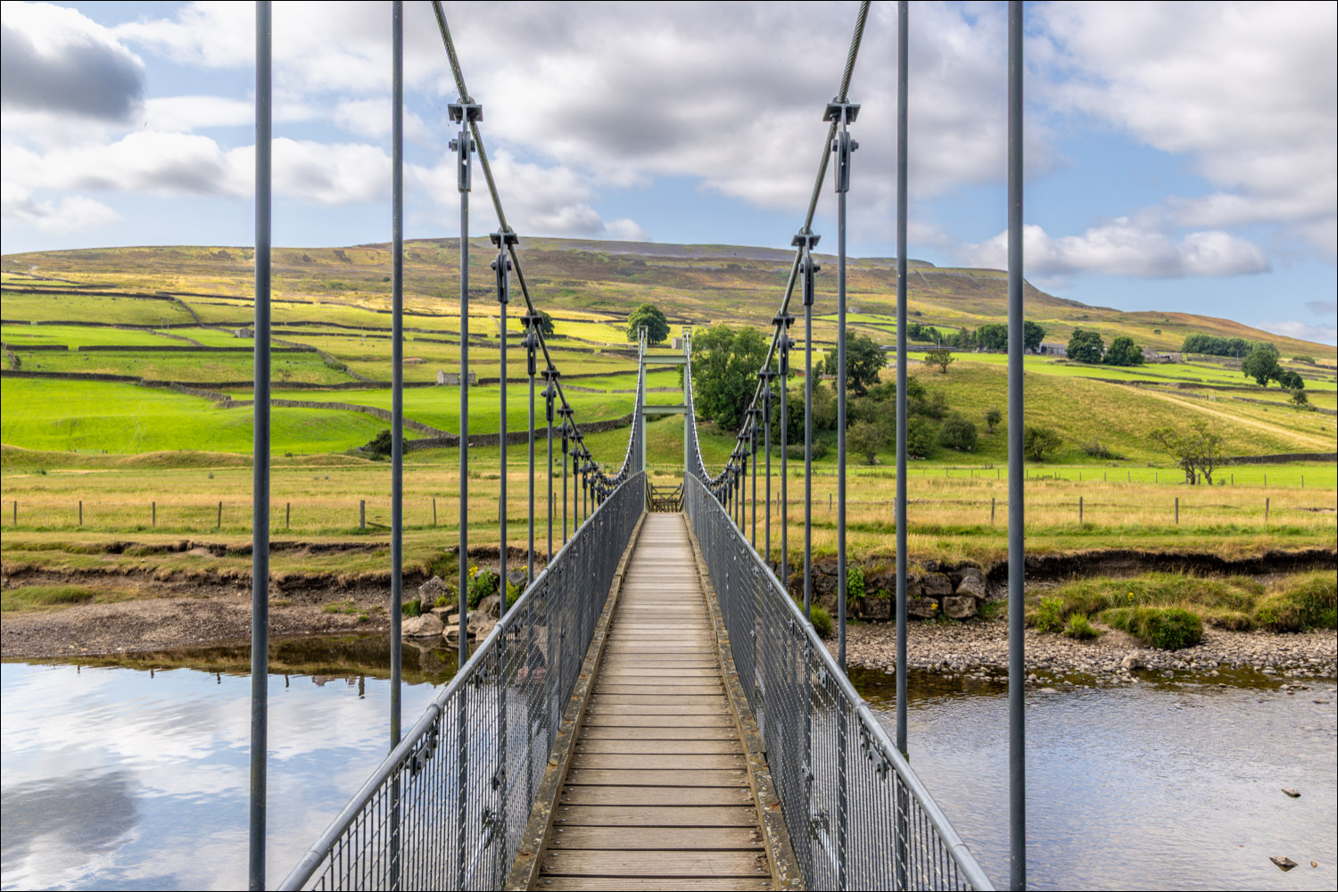
I walked out of Reeth, initially in the opposite direction to my destination, the neighbouring village of Grinton. The path took me down to the banks of the River Swale, which I crossed via the Reeth Swing Bridge. This suspension bridge suffered severe damage in September 2000 when it was damaged by floods. The River Swale is one of the fastest rising spate rivers in England, and is said to rise by as much as 3 metres in 20 minutes. “The Swale rusheth rather than runneth” according to a traveller in the 1700’s. At the end of the bridge I turned left to follow a path beside the River Swale, a lovely section of the walk, with views back across Swaledale towards Reeth
Before long the Parish Church of St Andrew in Grinton (“Cathedral of the Dales”) came into view. The church was founded in the early 12th century and once acted as an outlying mission of the Augustinian Priory at Bridlington. I walked through the churchyard and into Grinton, crossing Grinton Bridge to join a path across the meadows. The path is part of the long distance Coast to Coast walk which Gilly and I completed many years ago. This brought back some happy memories. From here it was an easy stroll back into Reeth to end a lovely short ramble in Swaledale
Click on the icon below for the route map (subscribers to OS Maps can view detailed maps of the route, visualise it in aerial 3D, and download the GPX file. Non-subscribers will see a base map)

Scroll down – or click on any photo to enlarge it and you can then view as a slideshow
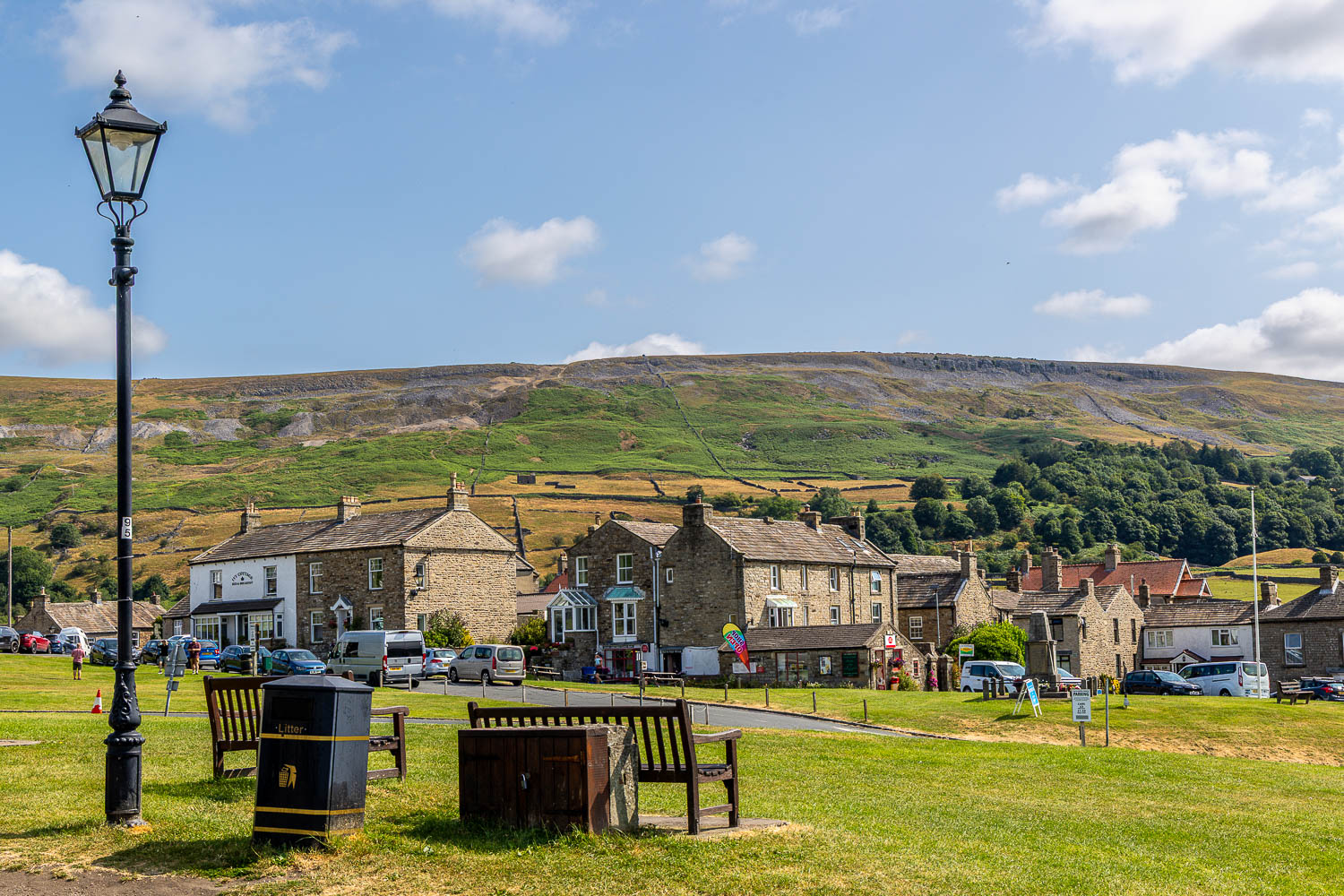
Looking across Reeth Village Green at the start of today's walk
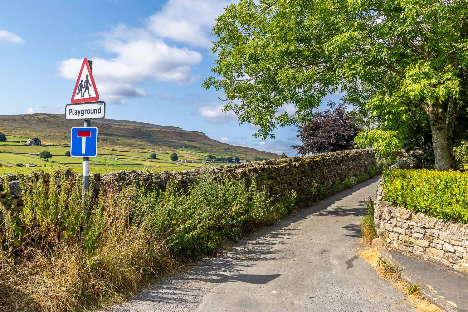
I leave the village and follow a track towards the River Swale
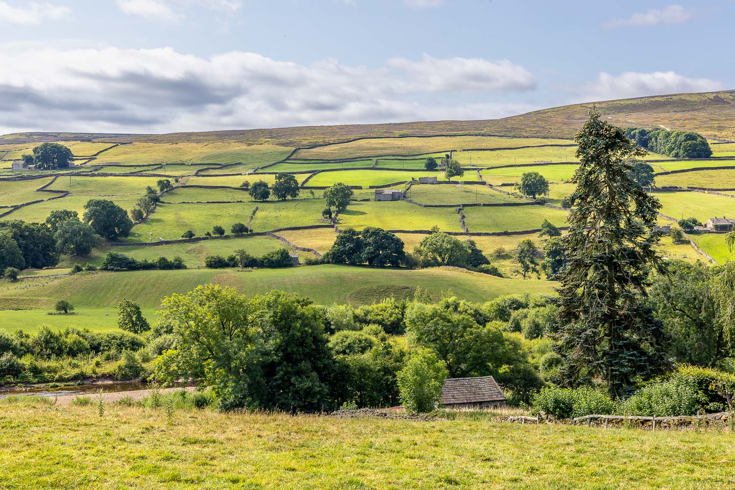
Looking across Swaledale
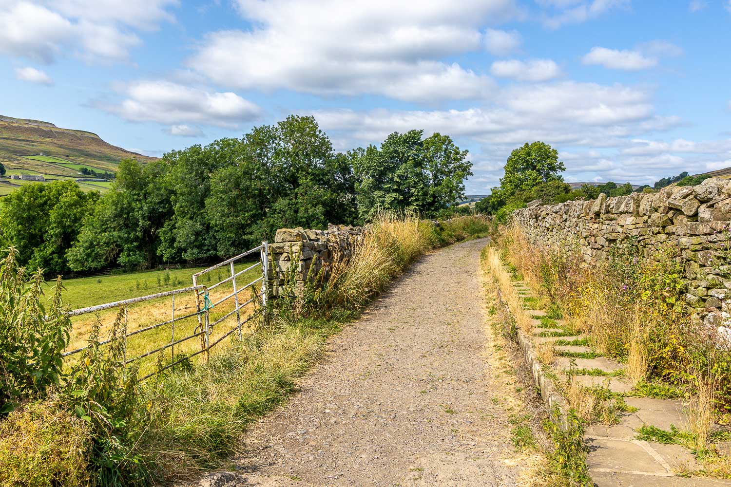
Heading west along Swaledale
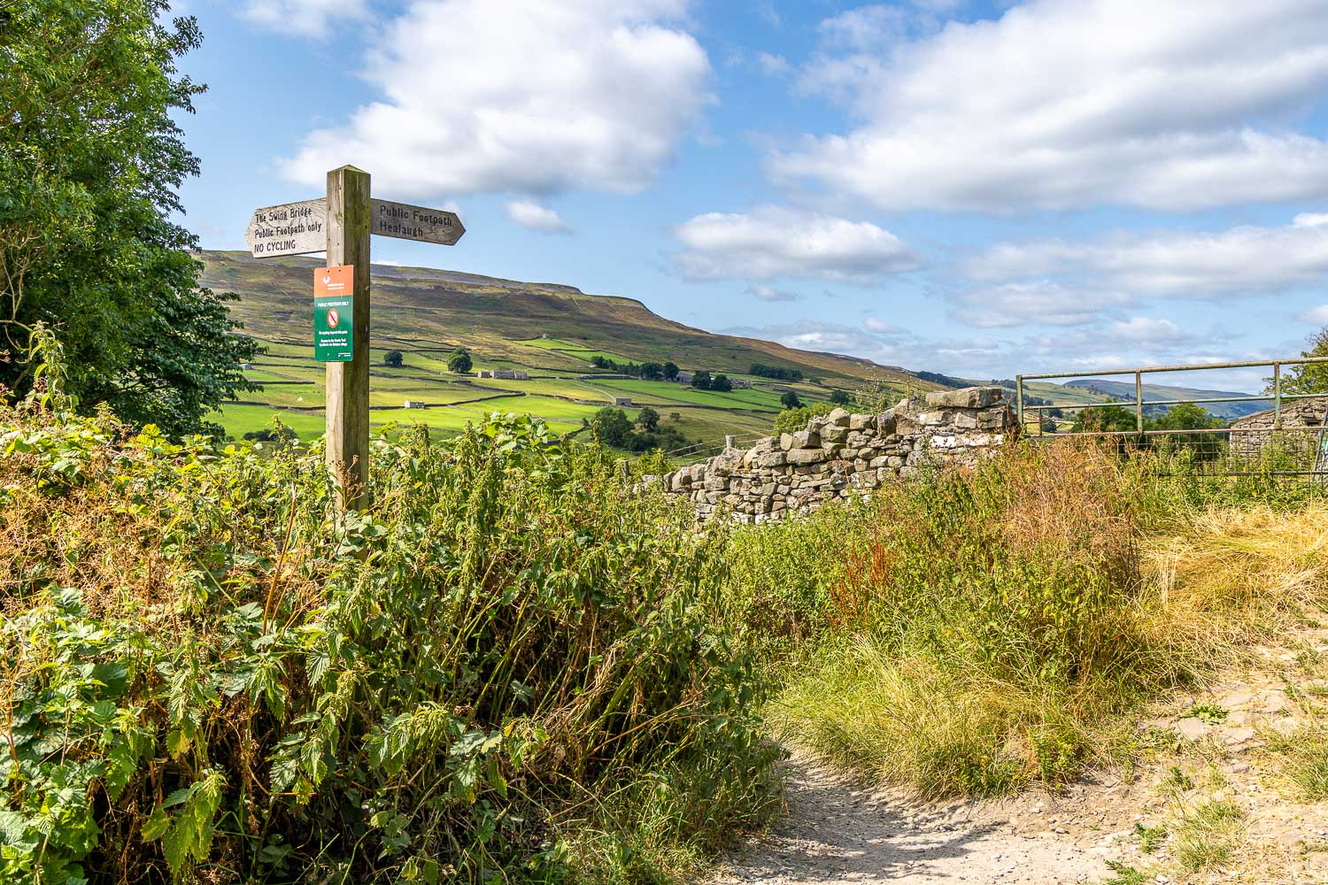
I turn left here to follow the sign to The Swing Bridge...
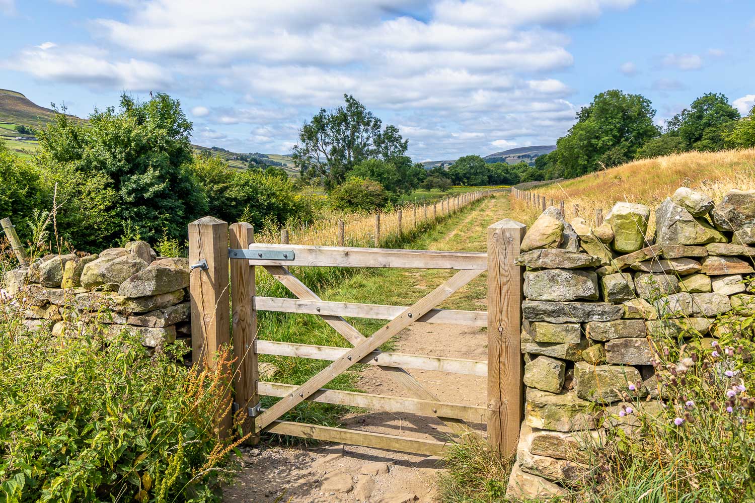
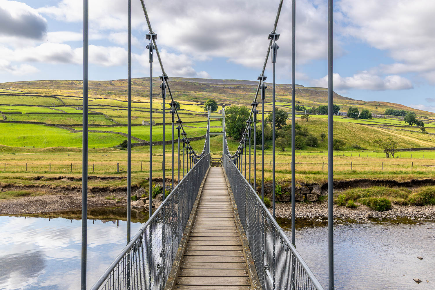
I cross Reeth Swing Bridge
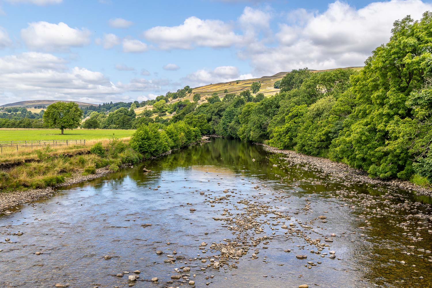
The River Swale from Reeth Swing Bridge
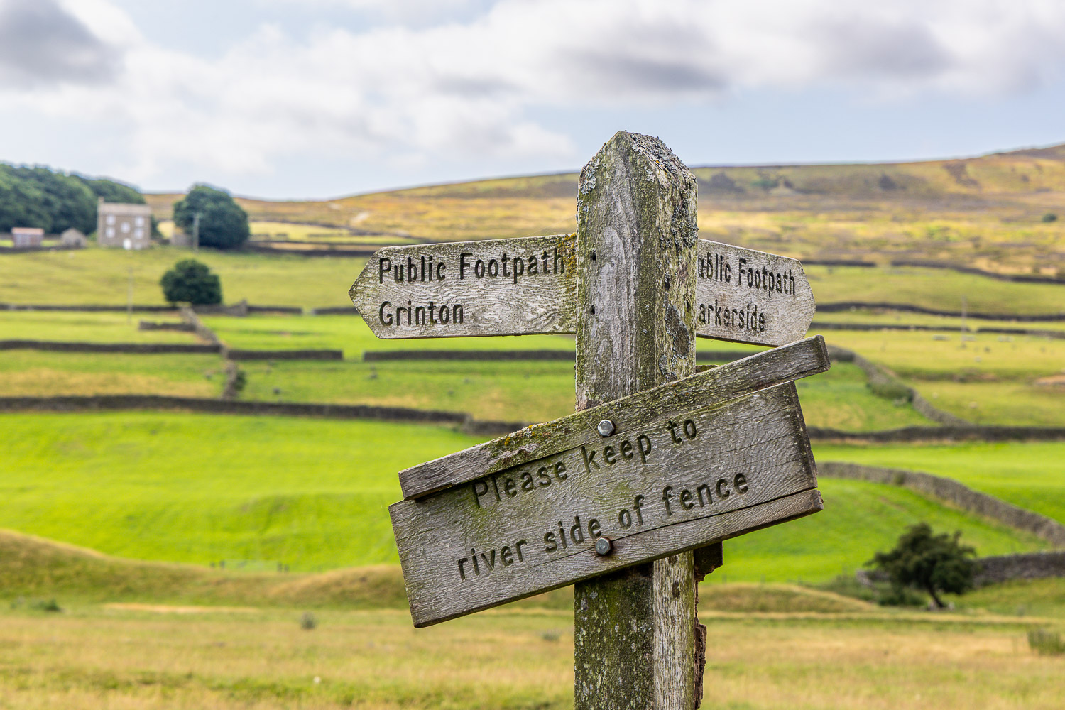
I turn left at the end of the bridge and follow the sign to Grinton, keeping to the river side of the fence in order to avoid a herd of cattle in the field beyond
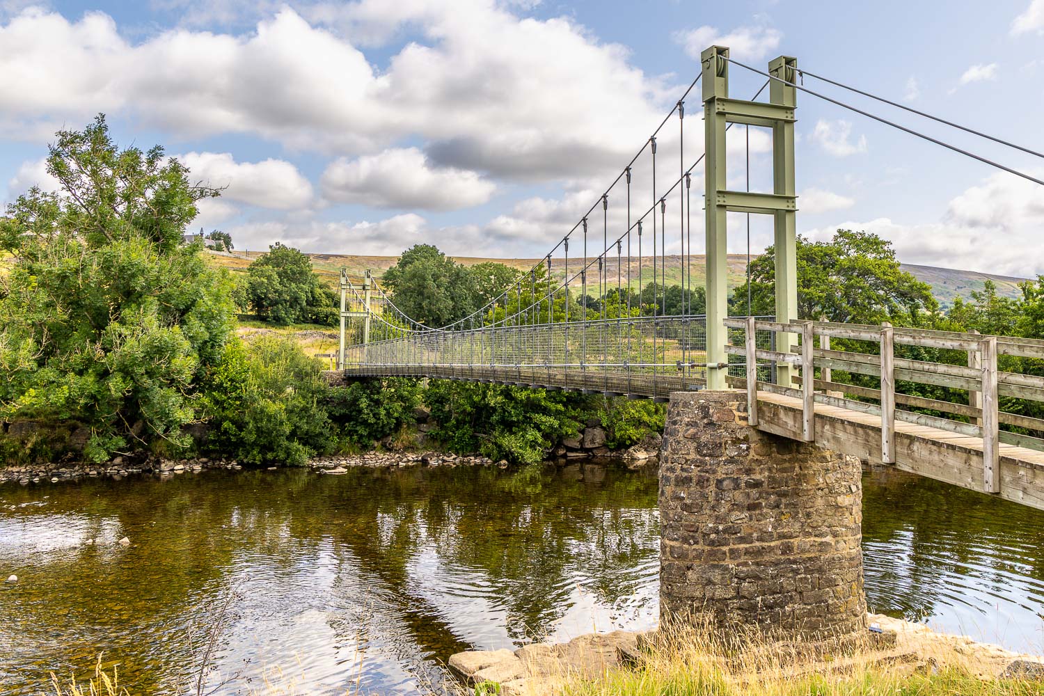
Looking back to Reeth Swing Bridge...
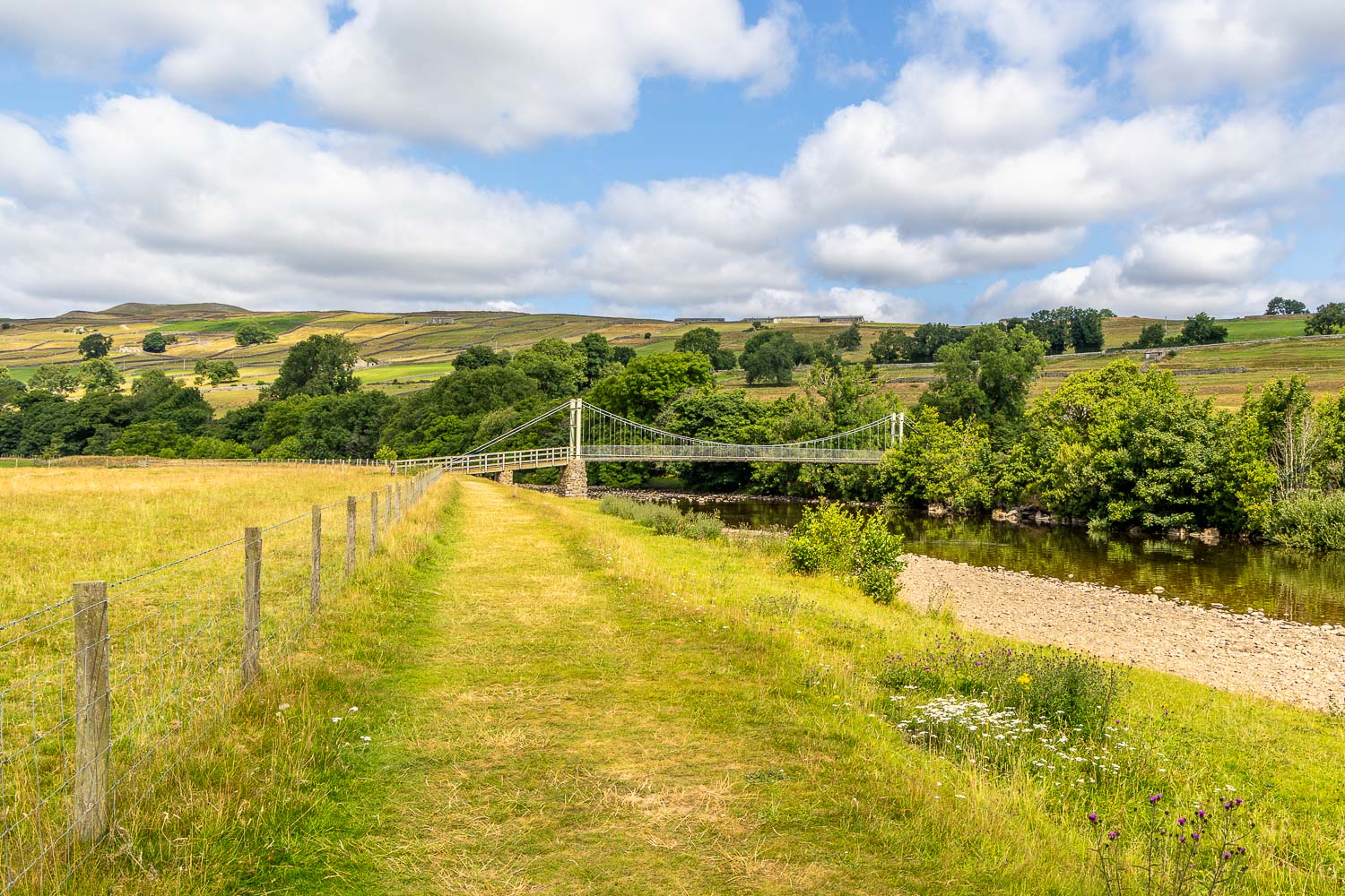
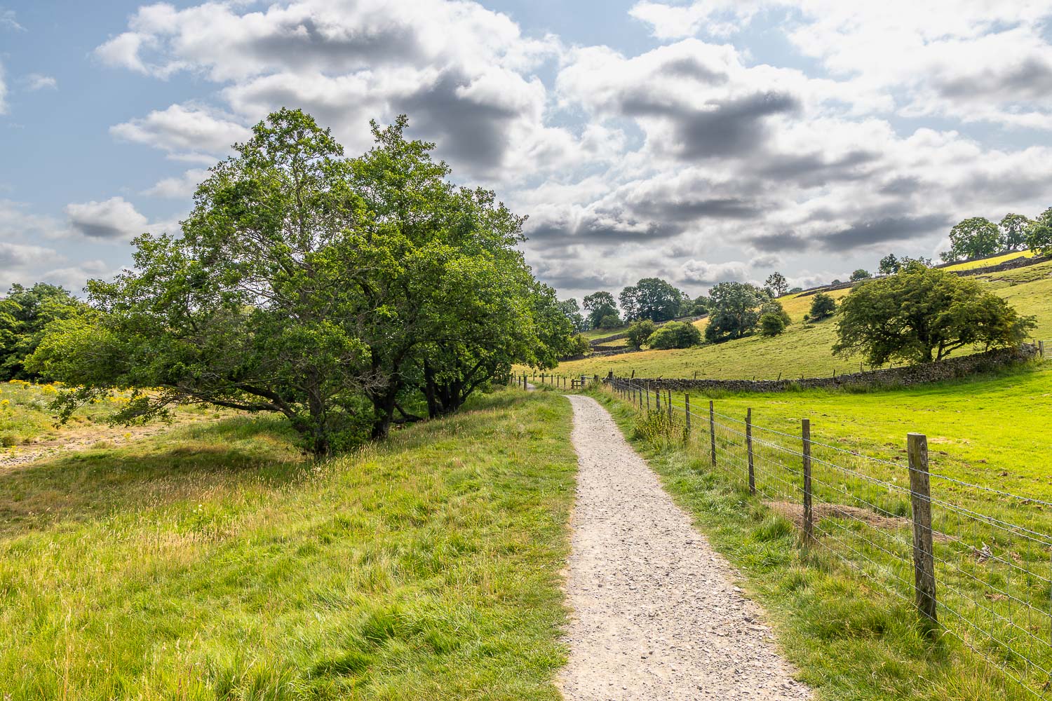
I head along Swaledale in the direction of Grinton, with the River Swale on my left
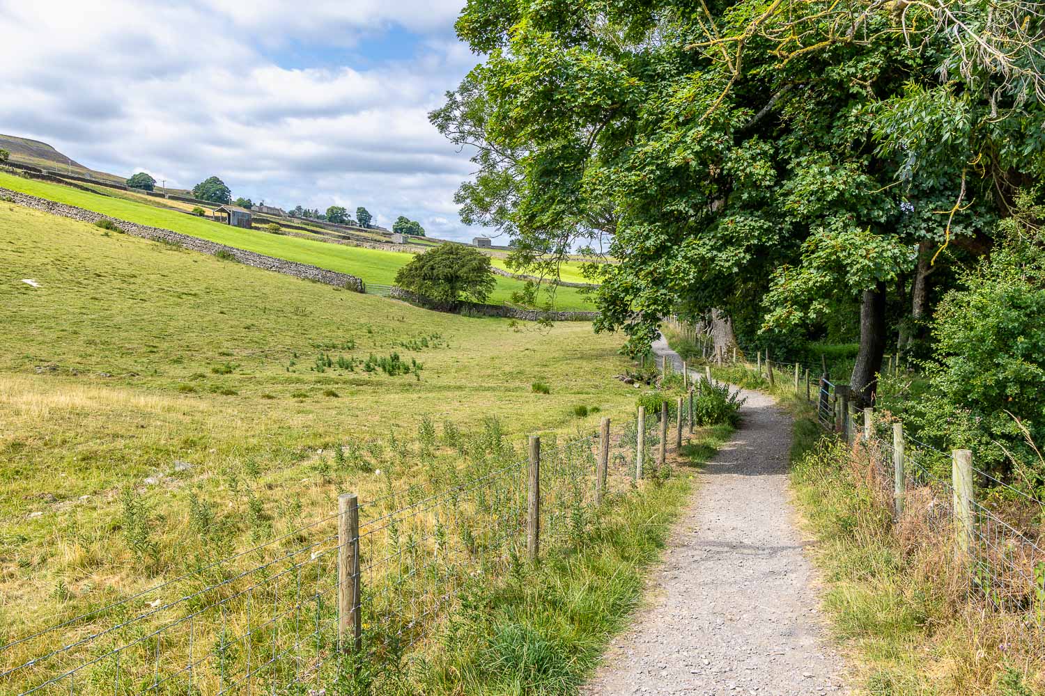
Looking back
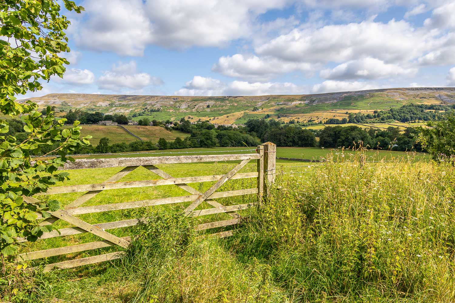
Looking across Swaledale back towards Reeth
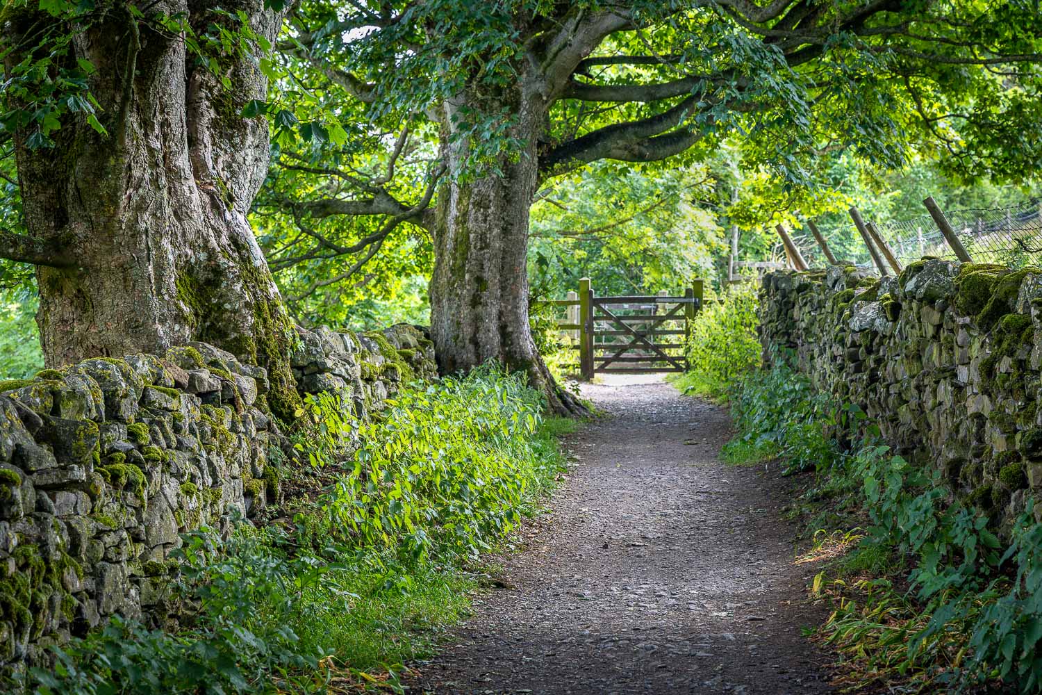
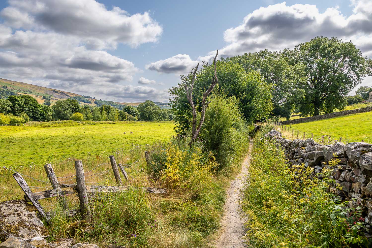
I follow the obvious path to Grinton...
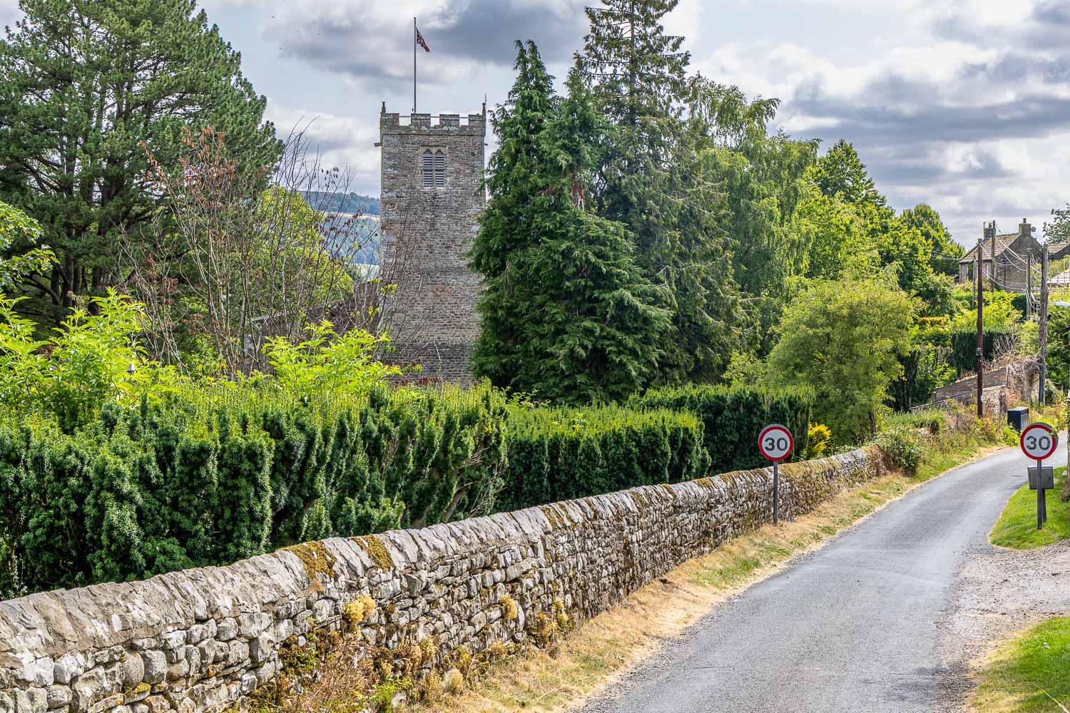
St Andrew's Church Grinton comes into view
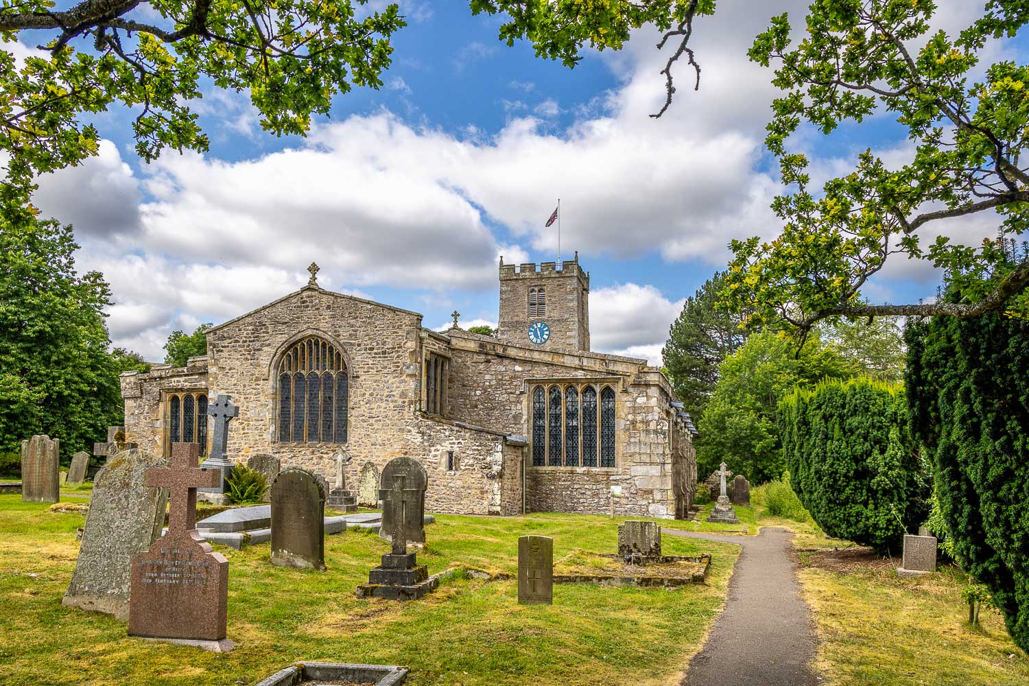
Looking back to St Andrew's Church after walking through its grounds
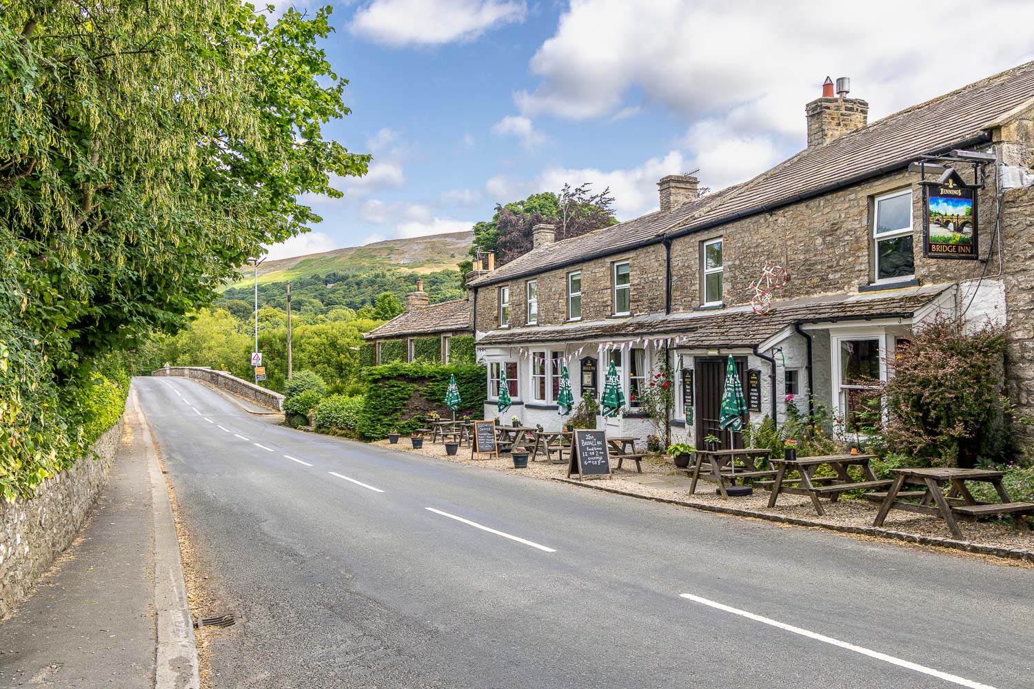
This would be a good place to pause for refreshments but it was a little too early for that, so I continued through Grinton and crossed over the River Swale again, this time via Grinton Bridge
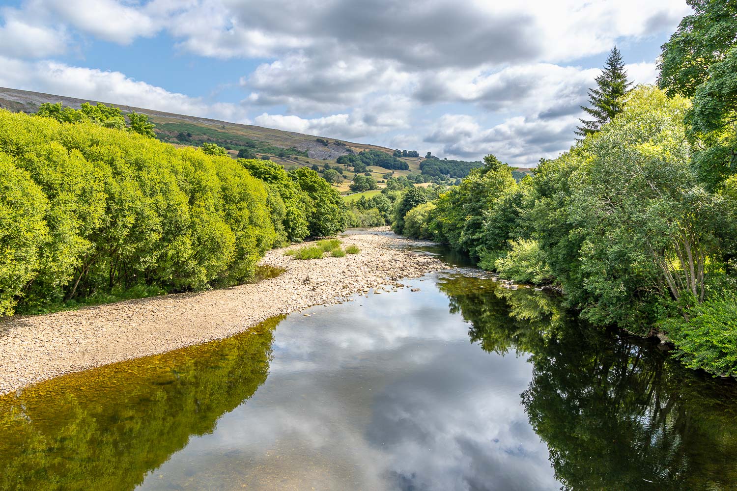
The River Swale from Grinton Bridge
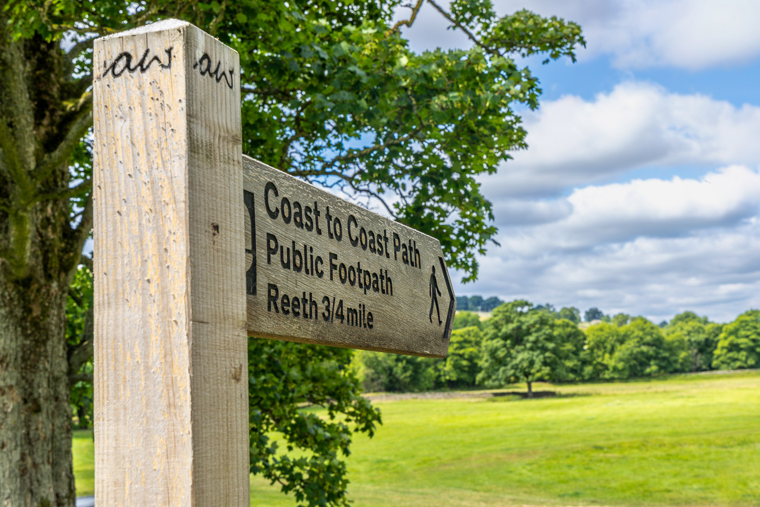
Retracing steps taken many years ago...
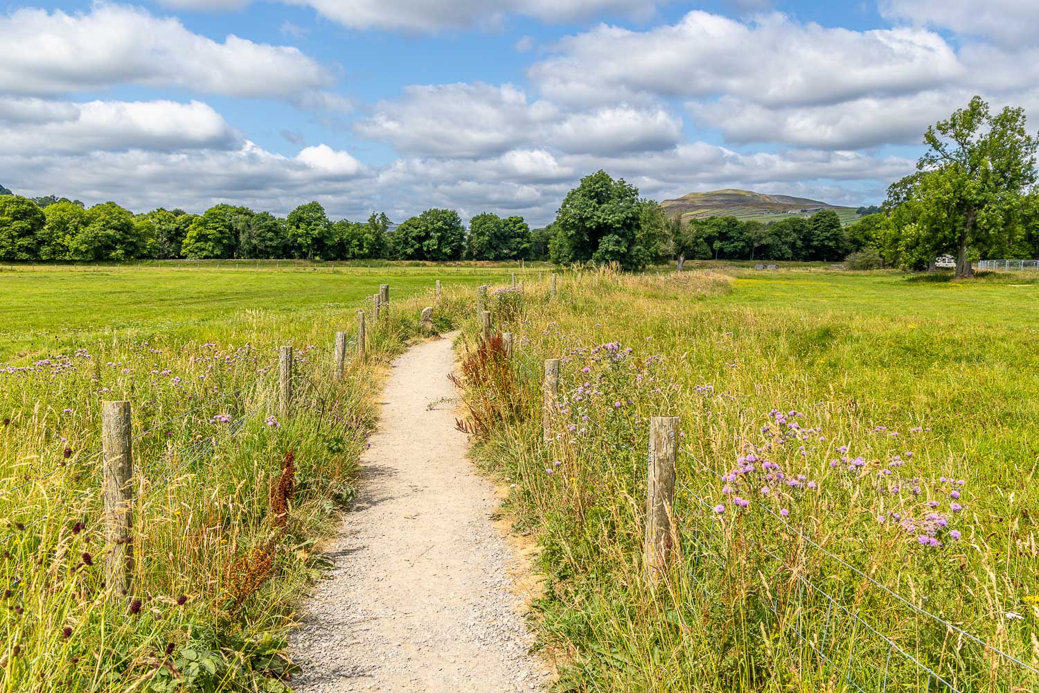
I follow a path through the meadows which leads back into Reeth
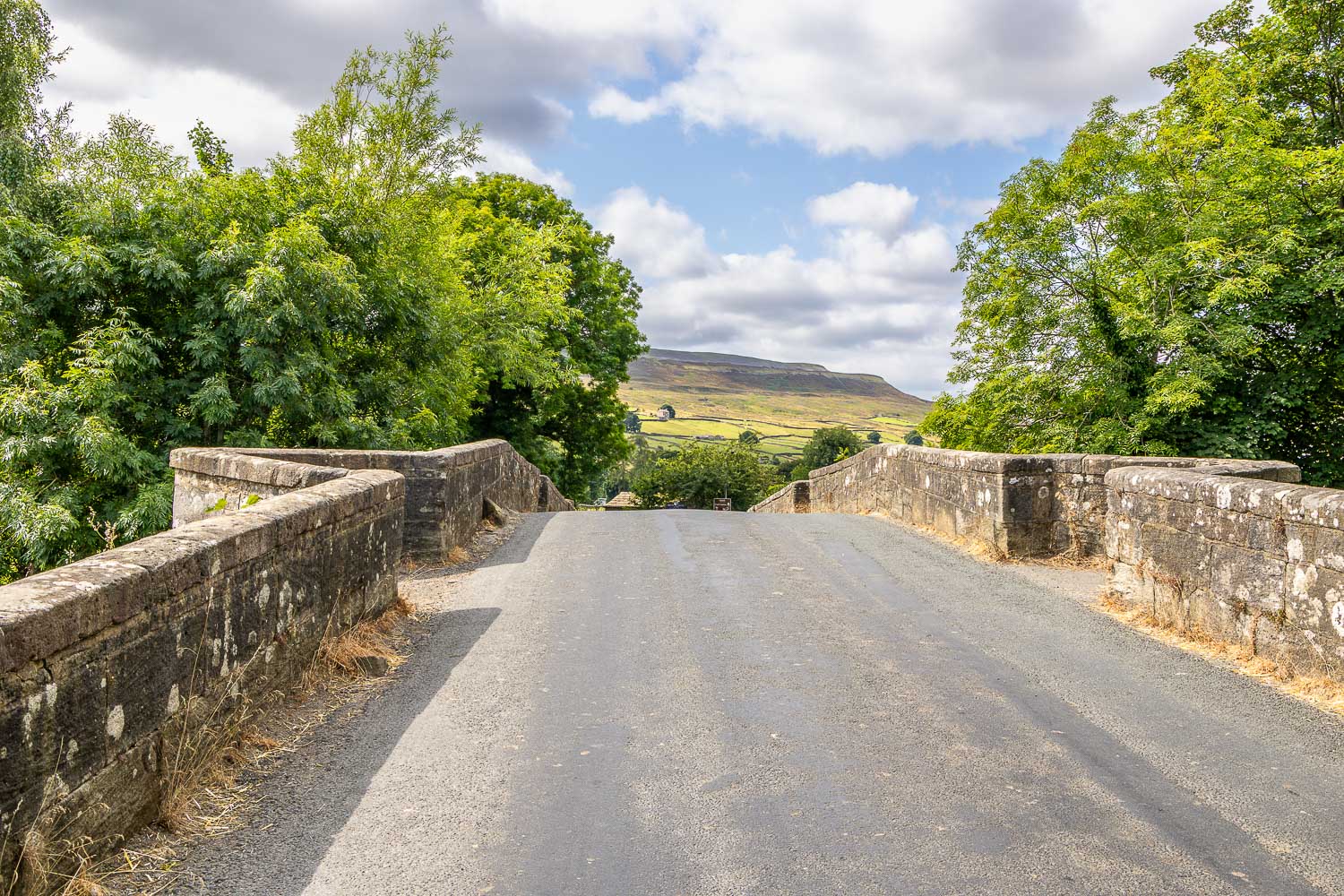
I cross 18th century Reeth Bridge, which spans Arkle Beck
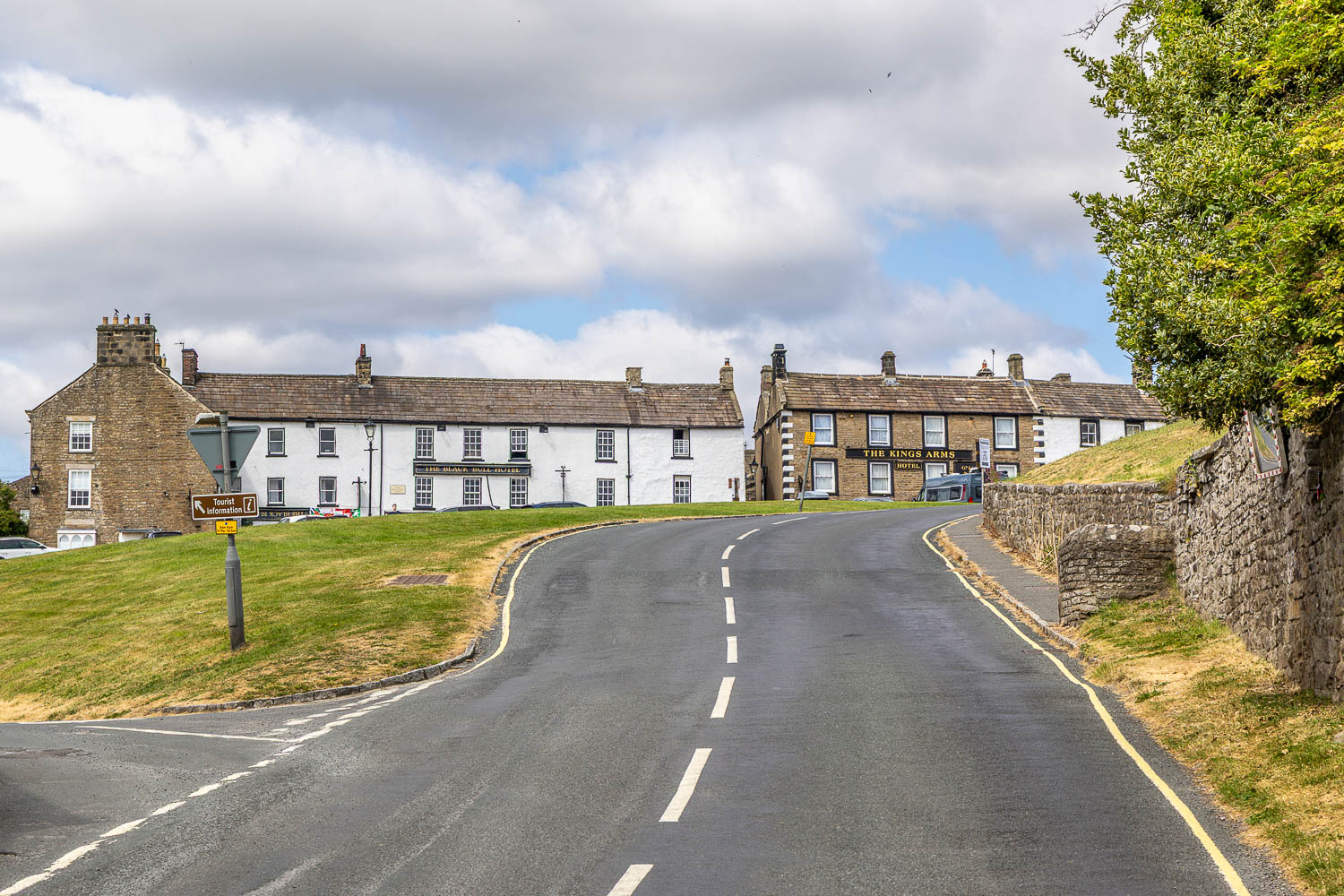
I arrive back in Reeth
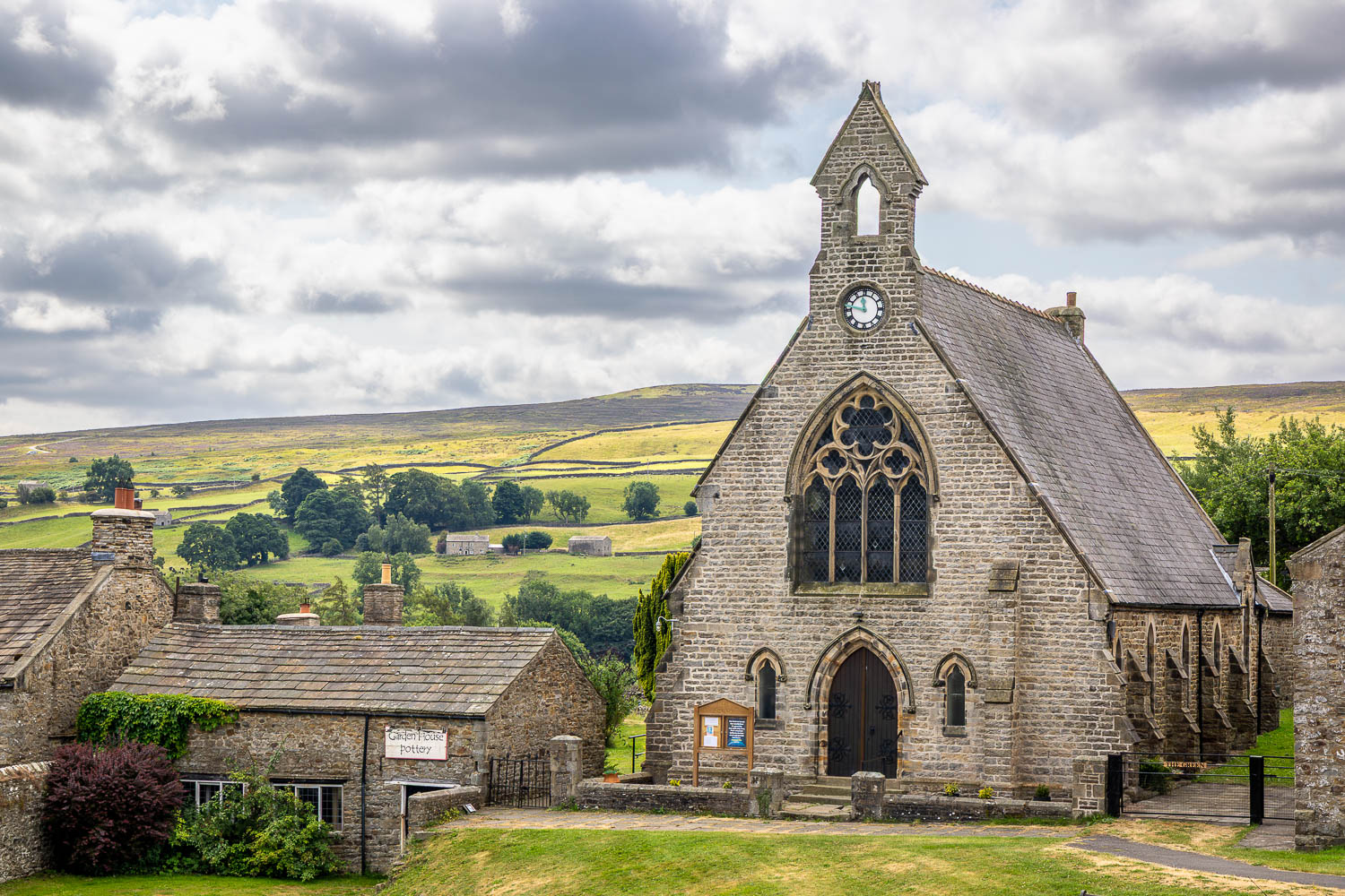
Looking across to Reeth Evangelical Congregational Church at the end of a short but sweet walk
Follow the link for more walks in the Yorkshire Dales (23)