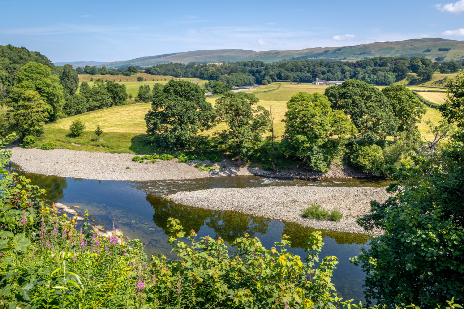
Route: Kirkby Lonsdale
Area: Cumbria, Lune Valley
Date of walk: 16th July 2026
Walkers: Andrew
Distance: 6.5 miles
Ascent: 350 feet
Weather: Sunny and very hot, up to 28c
Kirkby Lonsdale is an unspoilt market town in Cumbria, located between the Lake District and the Yorkshire Dales. The town centre is worth visiting in its own right, as it’s full of interesting and independent shops. Today’s walk started from one of the town’s landmarks, Devil’s Bridge. The Grade I listed three arch bridge spans the River Lune and was built in the 12th or 13th century. The bridge is so called on account of a legend involving an old lady who tricked the devil, click here for more information
The bridge is closed to traffic, but there are parking places on either side of it. I followed a sign pointing to the Church via Radical Steps. The path took me along the bank of the River Lune to the foot of the steps. Built in 1820 by Dr. Francis Pearson, they get their name from his radical political views. There are 86 of them in all, and they are quite steep. I emerged at the top slightly out of breath, I must confess. From here I walked past St Mary’s Church, which dates back to Norman times, and made a short there and back diversion to visit another of Kirby Lonsdale’s historic points of interest, Ruskin’s View. In 1875 John Ruskin described the view overlooking the River Lune to the Howgills beyond as ‘One of the loveliest in England, therefore in the world’
After retracing my steps I walked back through the churchyard and along the old street of Kirkby Lonsdale. After walking through the school sportsfield I left the outskirts of Kirkby Lonsdale at a new housing estate, where a footpath diversion order caused brief confusion. I then joined an old sunken path, or holloway, which followed the bed of a stream for a while. This could be awkward after a period of heavy rain, but a dry parallel path eventually emerges just beside it. I then followed a path through the fields on the flanks of Sellet Bank before crossing a stile to turn left along Hosticle Lane. This brought me into the small village of Whittington
From here I followed Burrow Hill Lane to arrive at the banks of the River Lune, which flows from the Howgill Hills into the Irish Sea at Morecambe Bay. Known as one of England’s finest game fishing rivers, the Lune supports wild brown trout, salmon, and sea trout. The remainder of the walk followed the Lune Valley Ramble beside the riverbank all the way back to the Devil’s Bridge in Kirkby Lonsdale. This was a wonderful end to a walk which had been full of interest and beauty throughout
Click on the icon below for the route map (subscribers to OS Maps can view detailed maps of the route, visualise it in aerial 3D, and download the GPX file. Non-subscribers will see a base map)

Scroll down – or click on any photo to enlarge it and you can then view as a slideshow
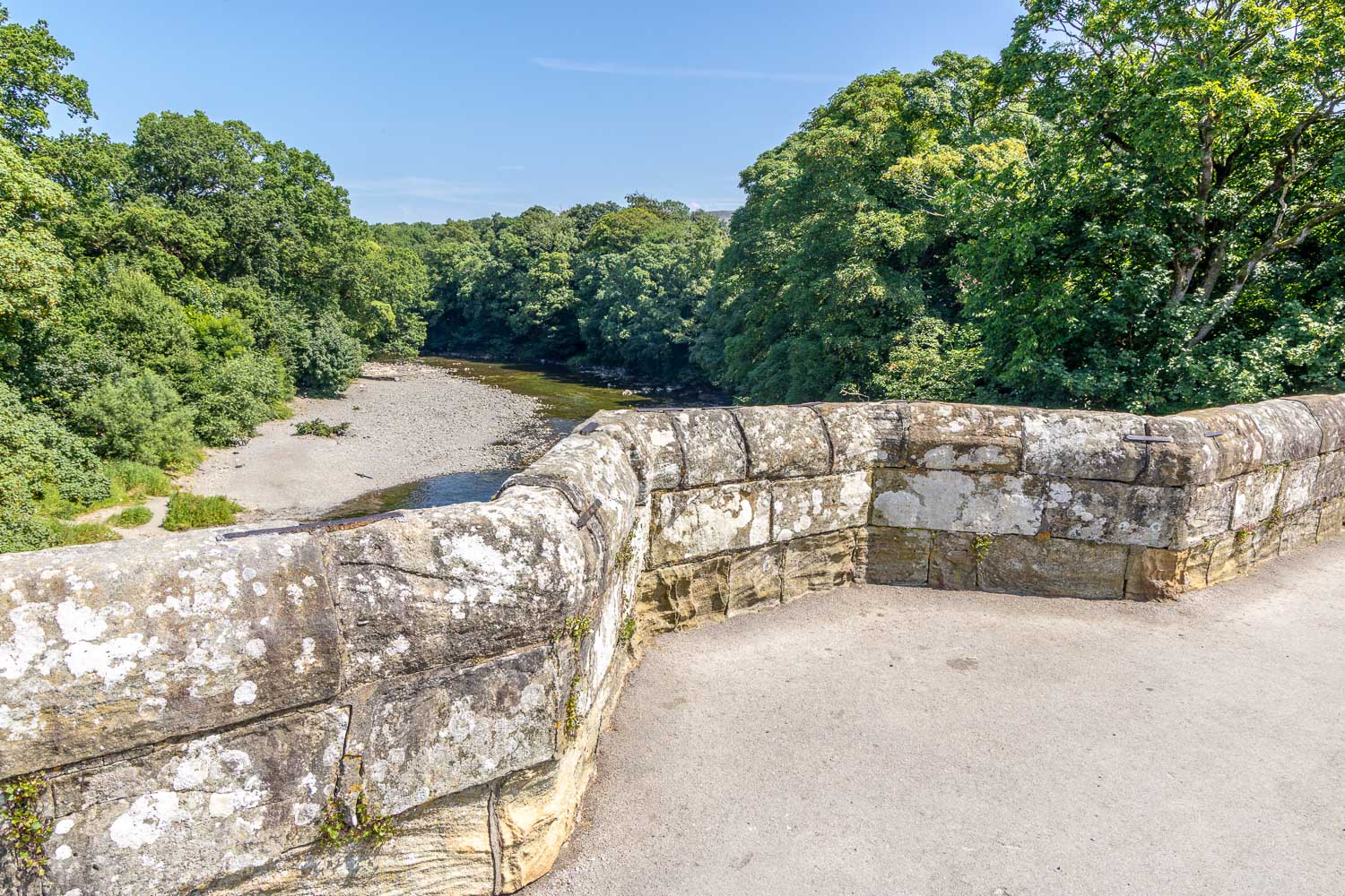
The start of today's walk from Devil's Bridge, Kirkby Lonsdale
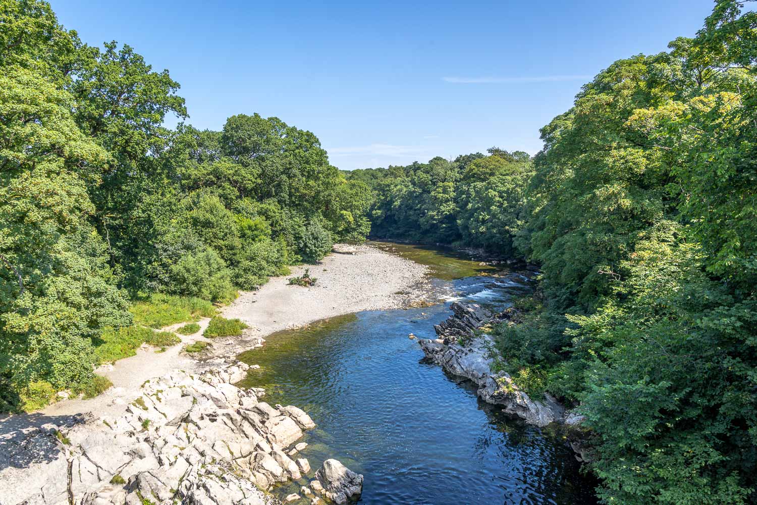
The River Lune from Devil's Bridge
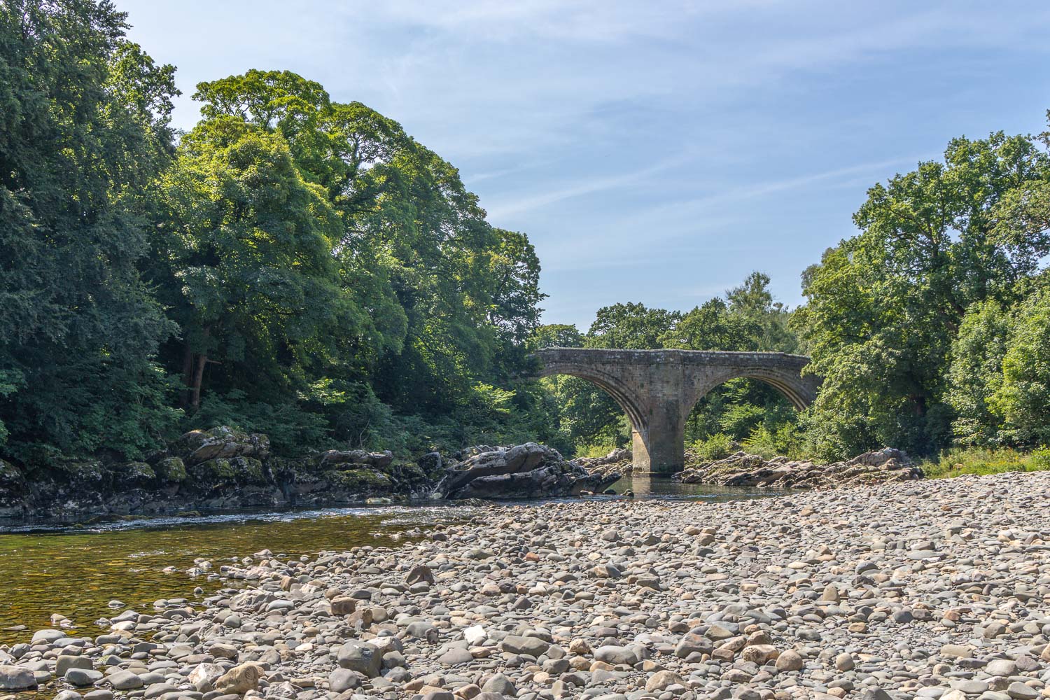
Looking back to the bridge
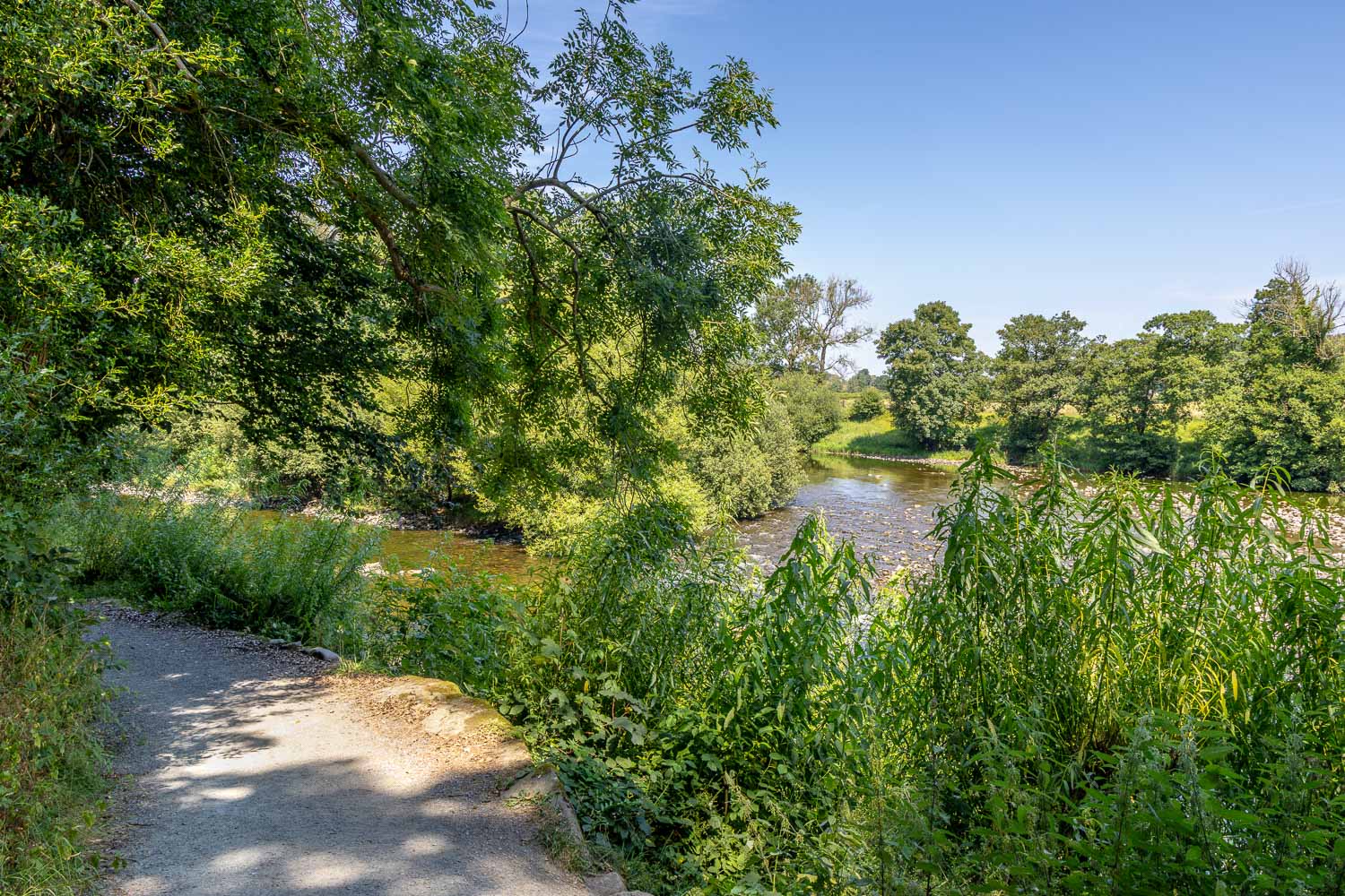
I follow a delightful path beside the river...
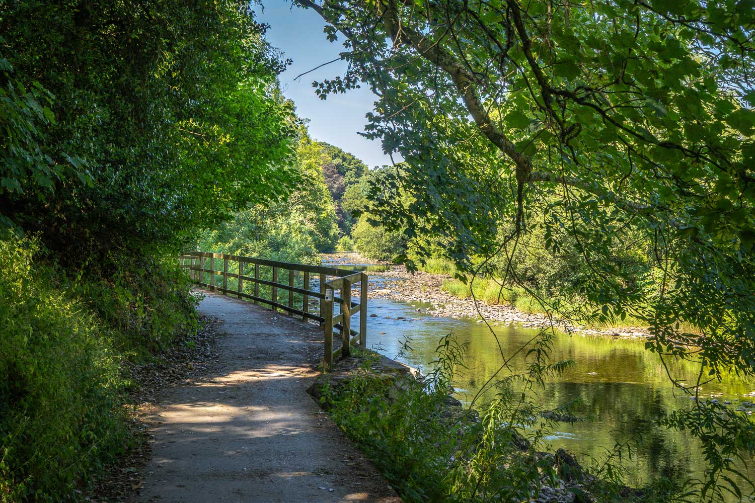
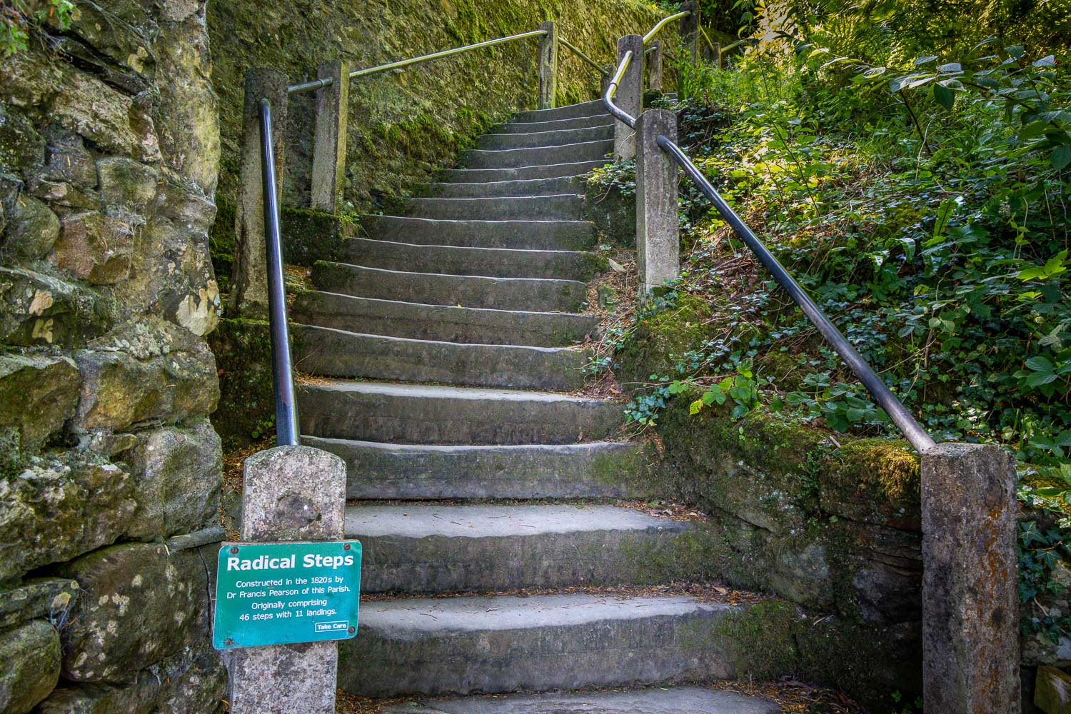
I climb up the Radical Steps, built in the 1820's
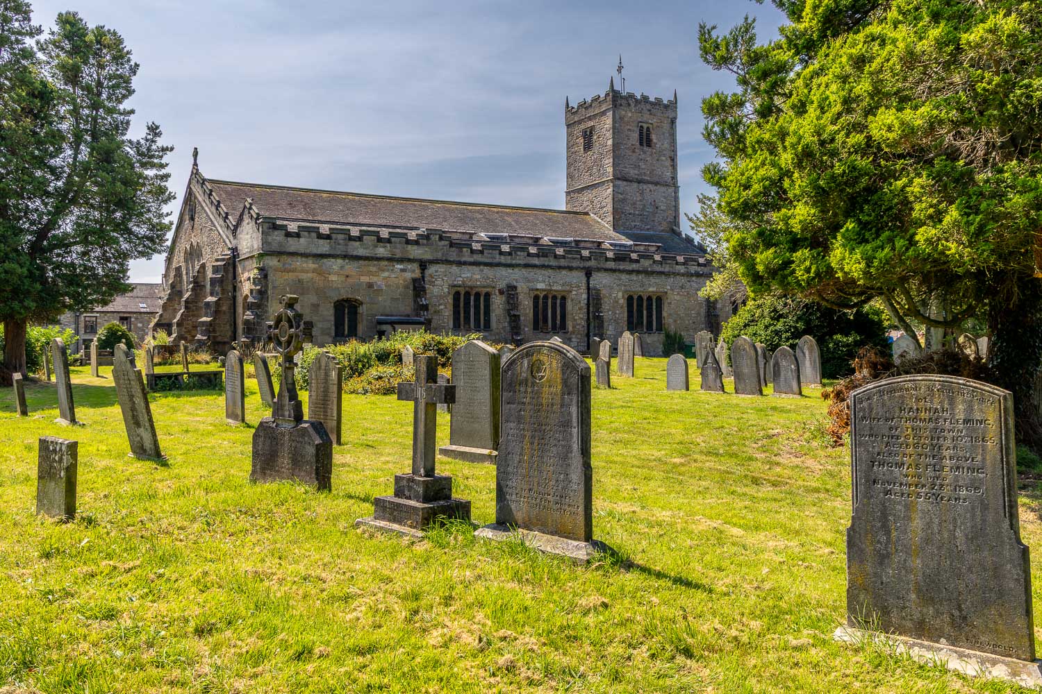
I turn right at St Mary's Church to make a short there and back detour
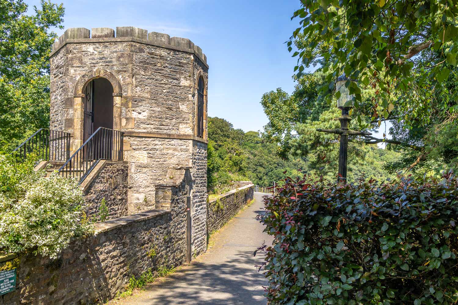
I pass by this listed gazebo, which was once in the garden of the vicarage
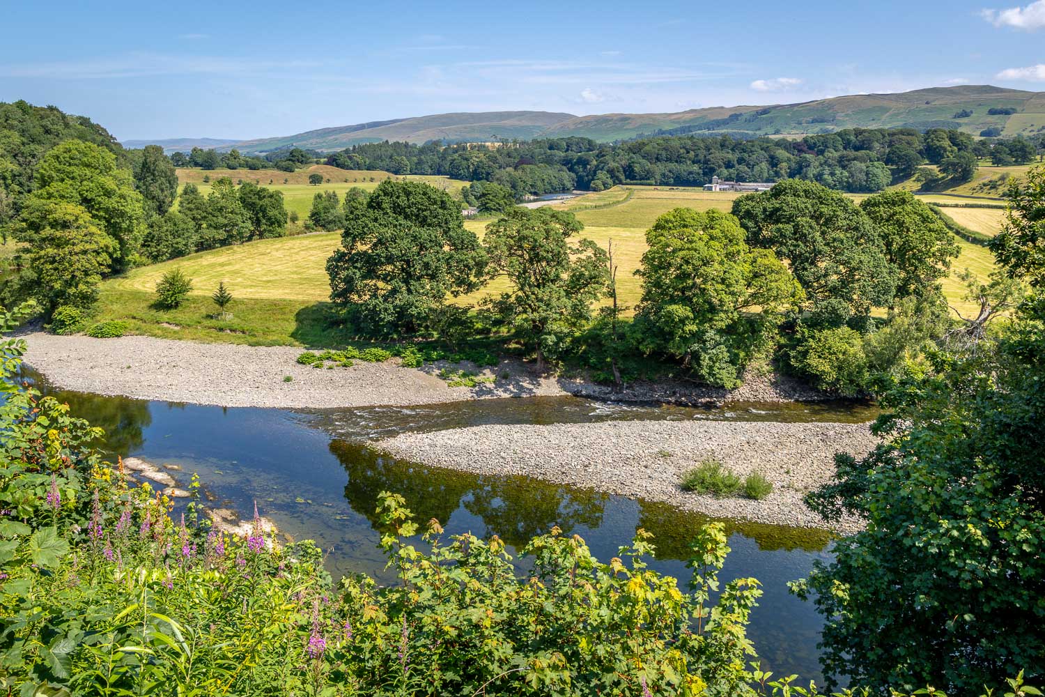
The reason for my detour - Ruskin's View
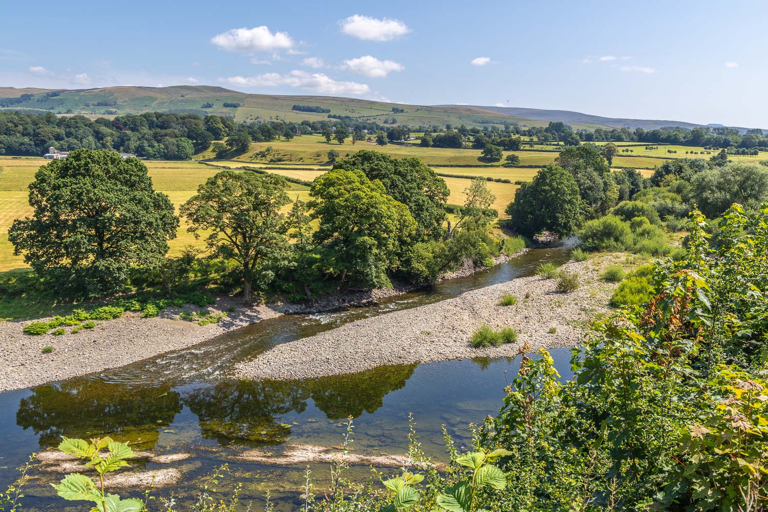
The Island in the River Lune, which becomes submerged during times of spate
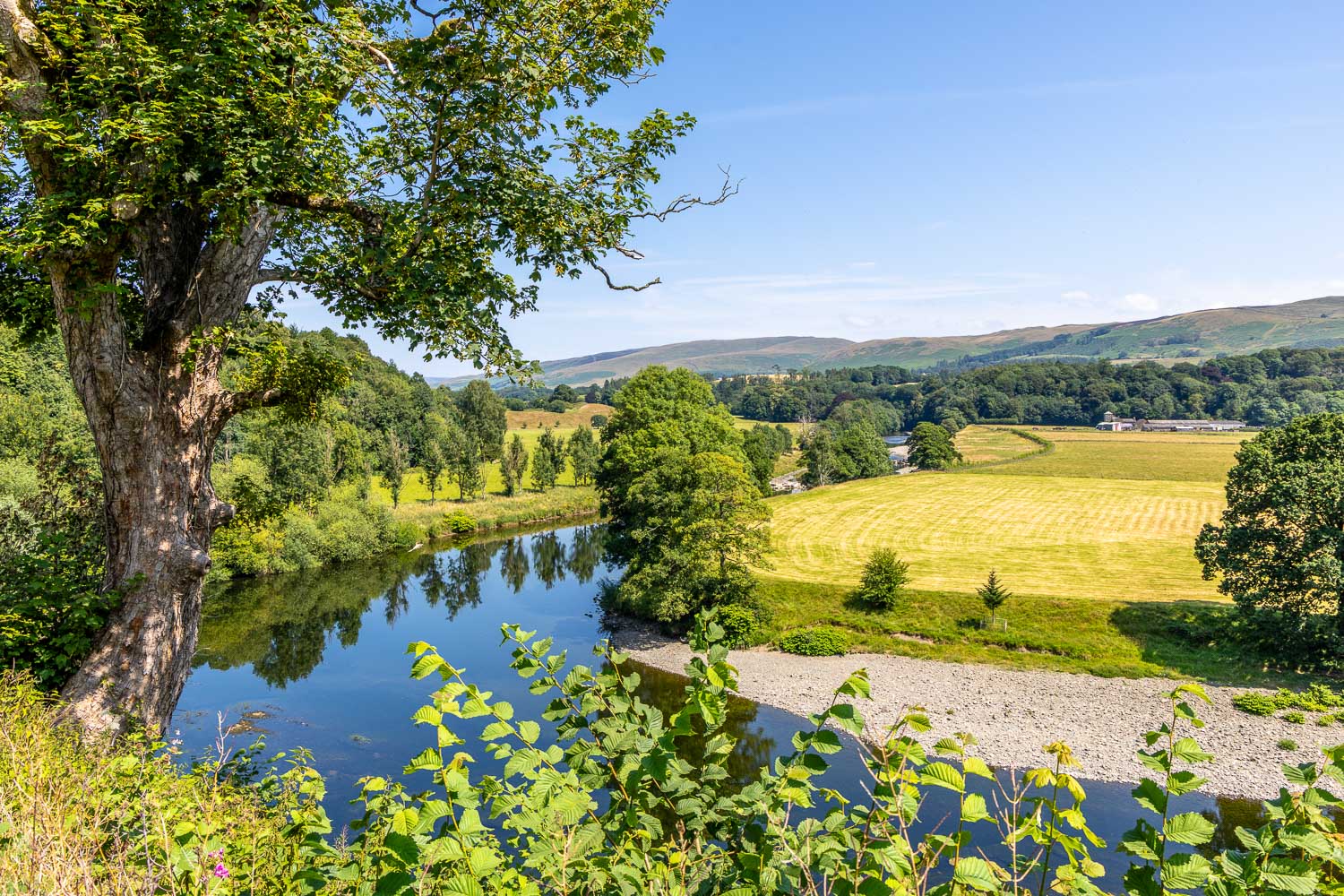
I retrace my steps to the church from here
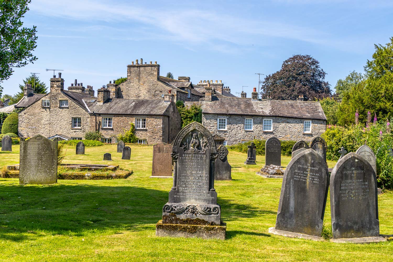
I walk through the churchyard
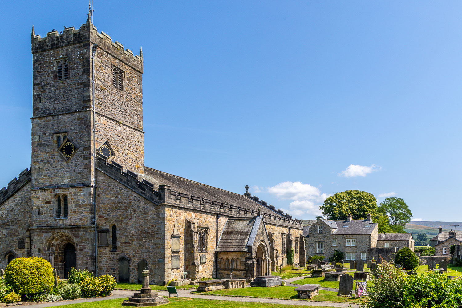
Looking back to St Mary's Church as I leave its grounds
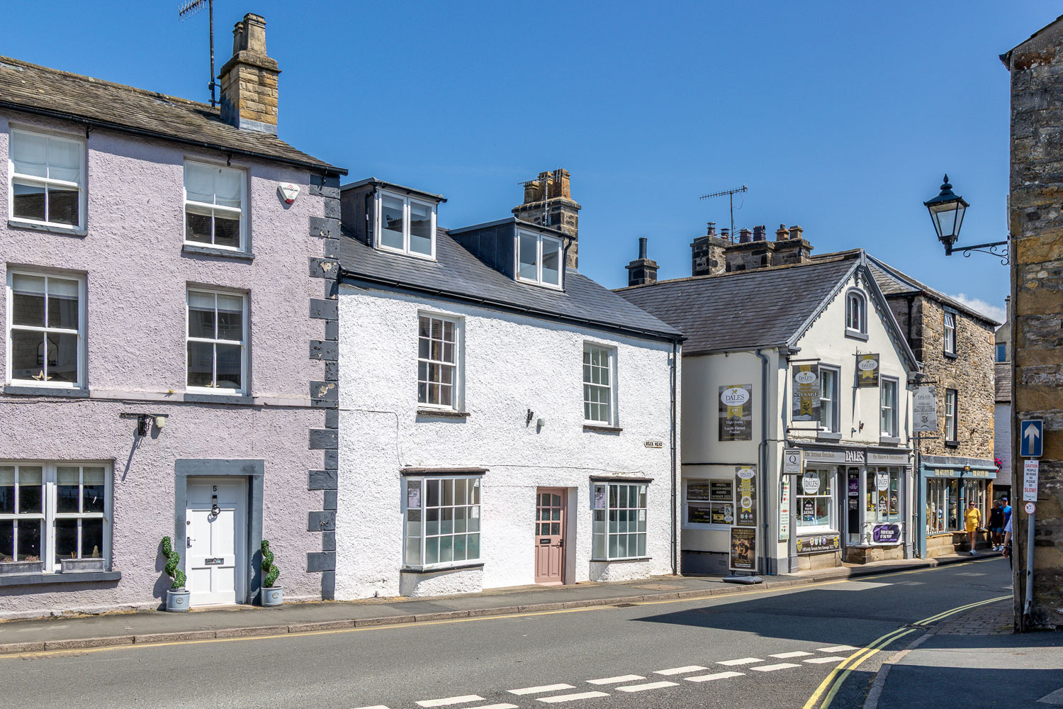
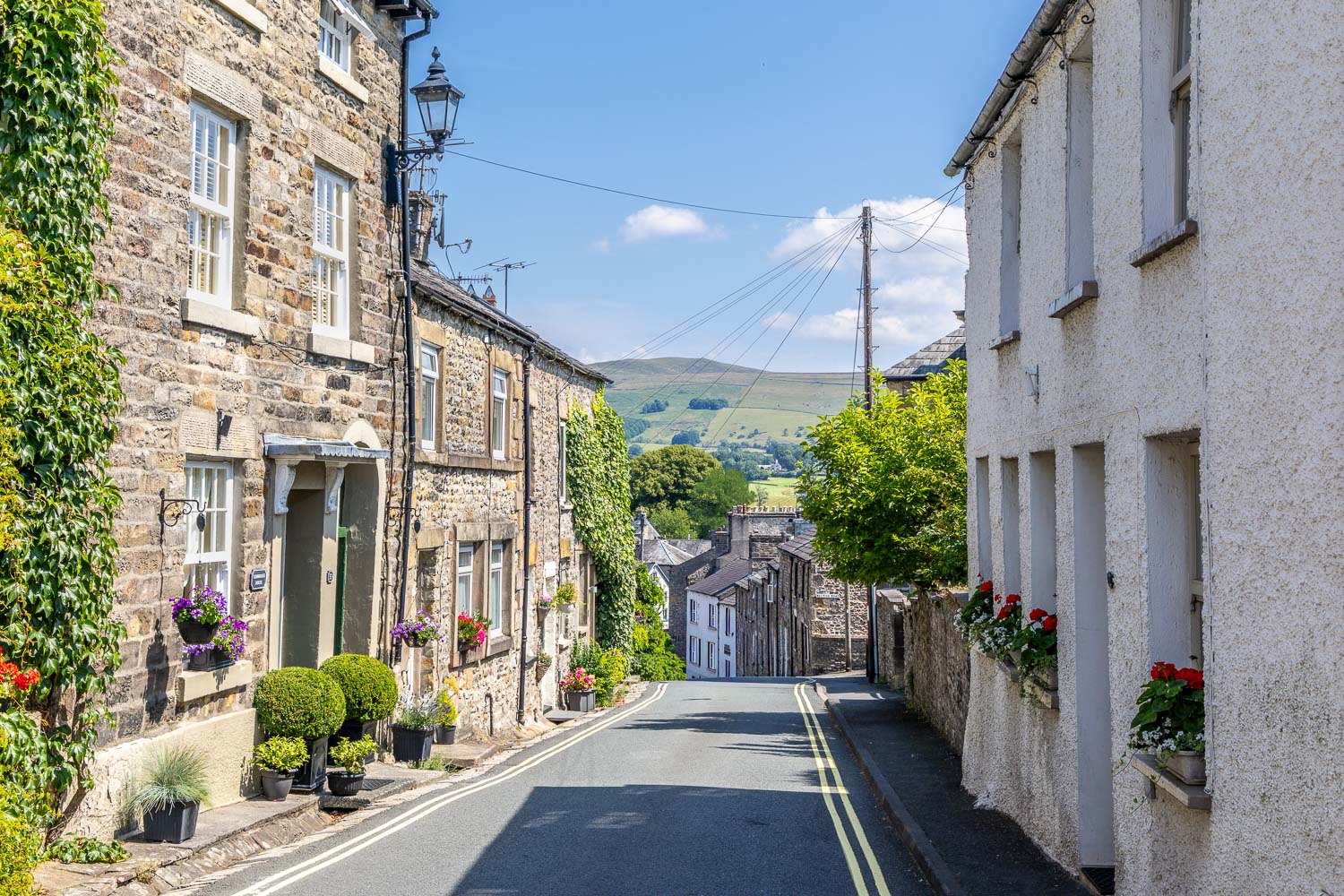
I walk through Kirkby Lonsdale, an unspoilt and traditional market town...
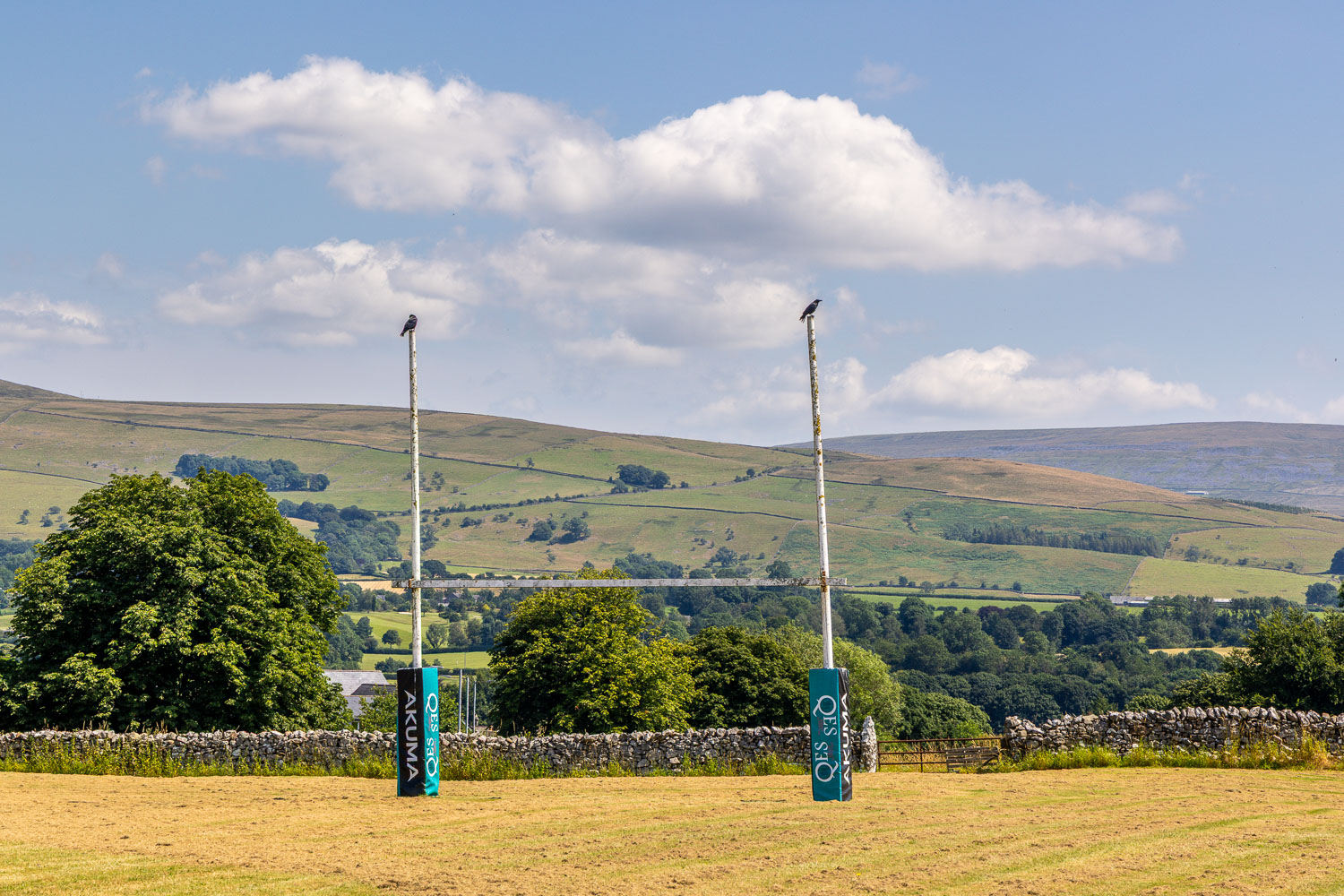
Walking across the school playing fields at the edge of the town
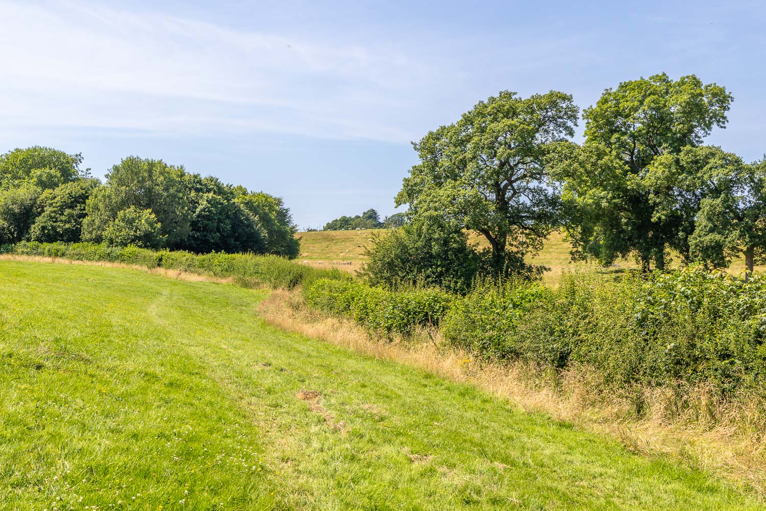
Beyond Kirkby Lonsdale, I follow a path across the fields towards Sellet Hall
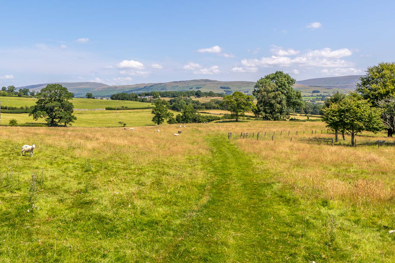
Looking back
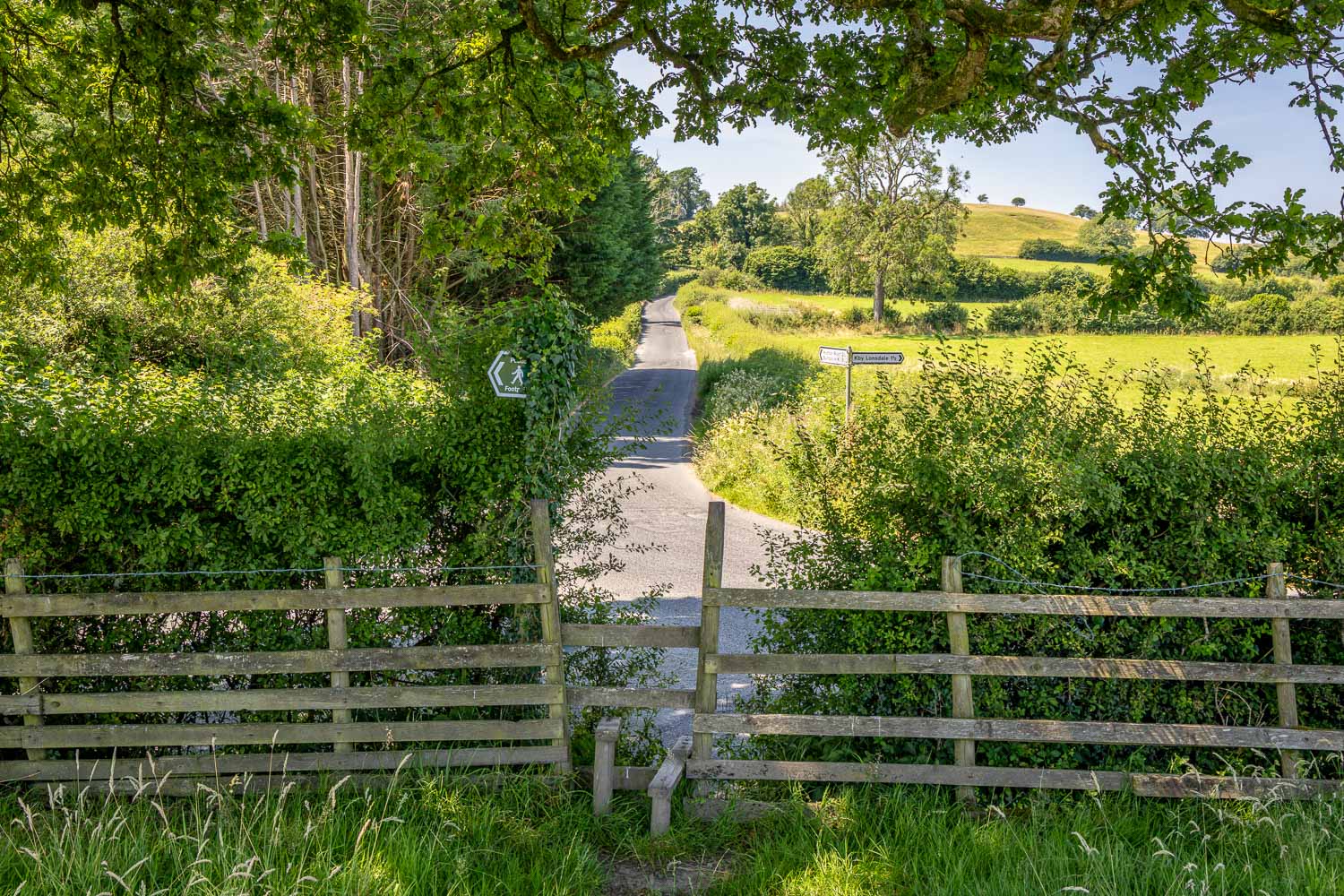
At the end of the fields I cross the stile and turn left along Hosticle Lane
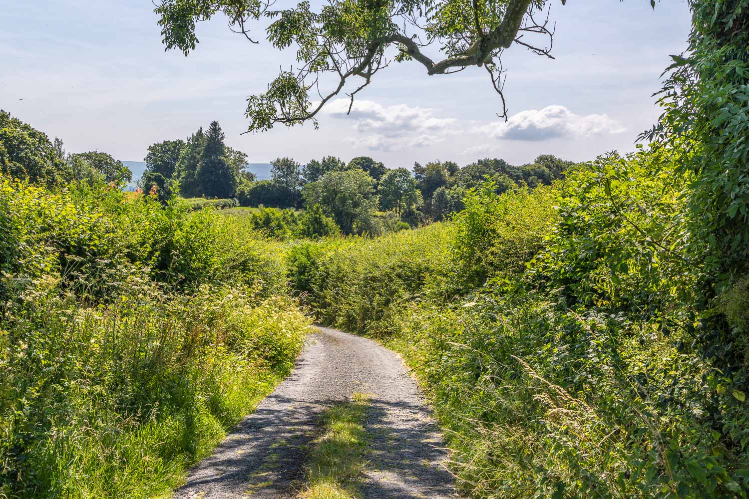
I walk along Hosticle Lane towards Whittington
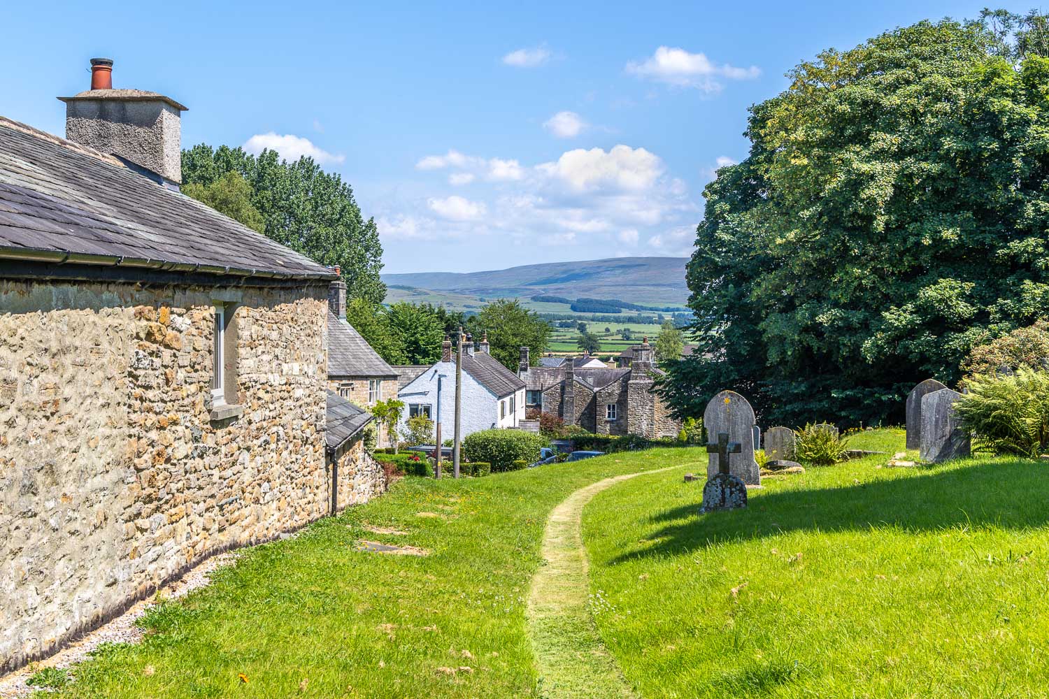
I walk through the small village of Whittington...
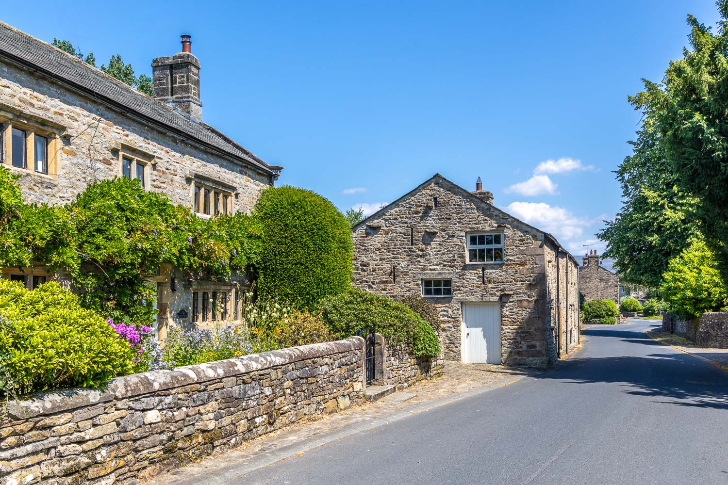
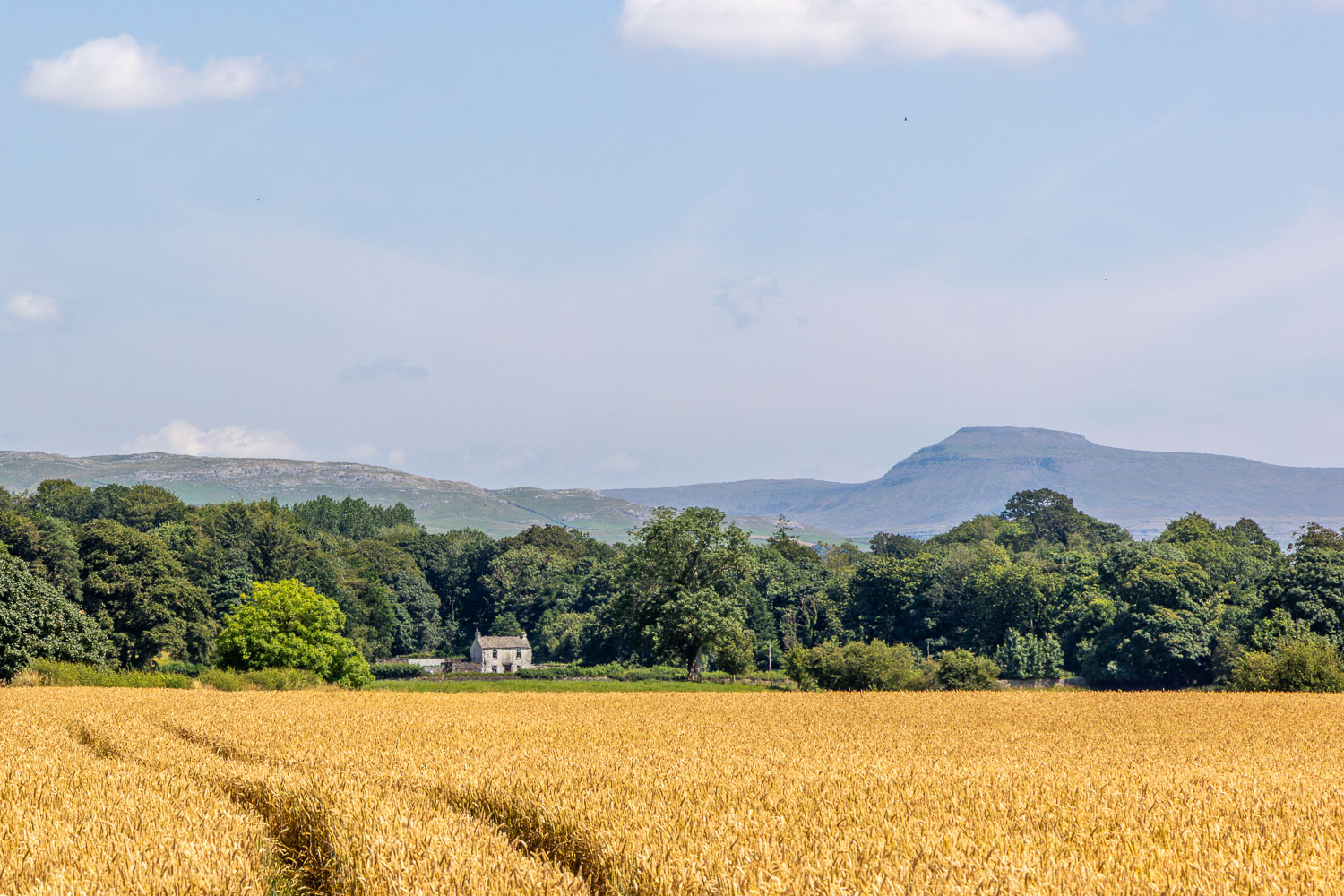
Looking across to the distinctive outline of Pen-y-ghent in the Yorkshire Dales
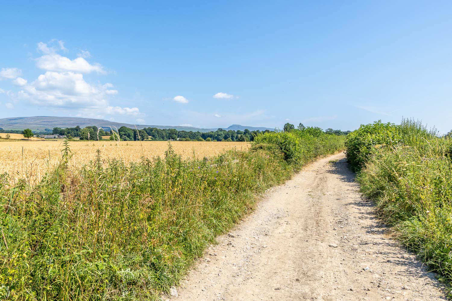
I follow a track known as Burrow Mill Lane
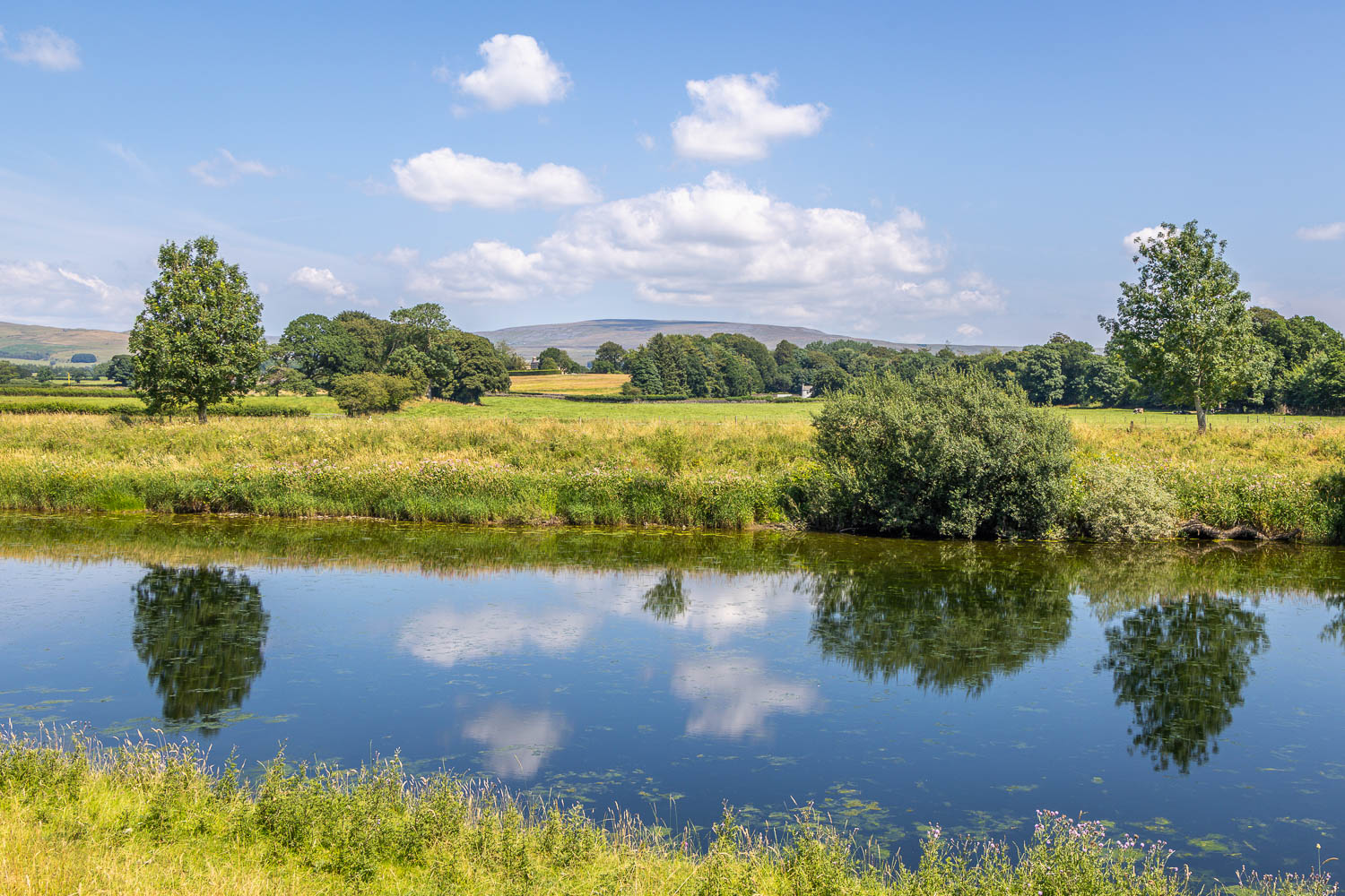
The lane brings me to the banks of the River Lune. I turn left here
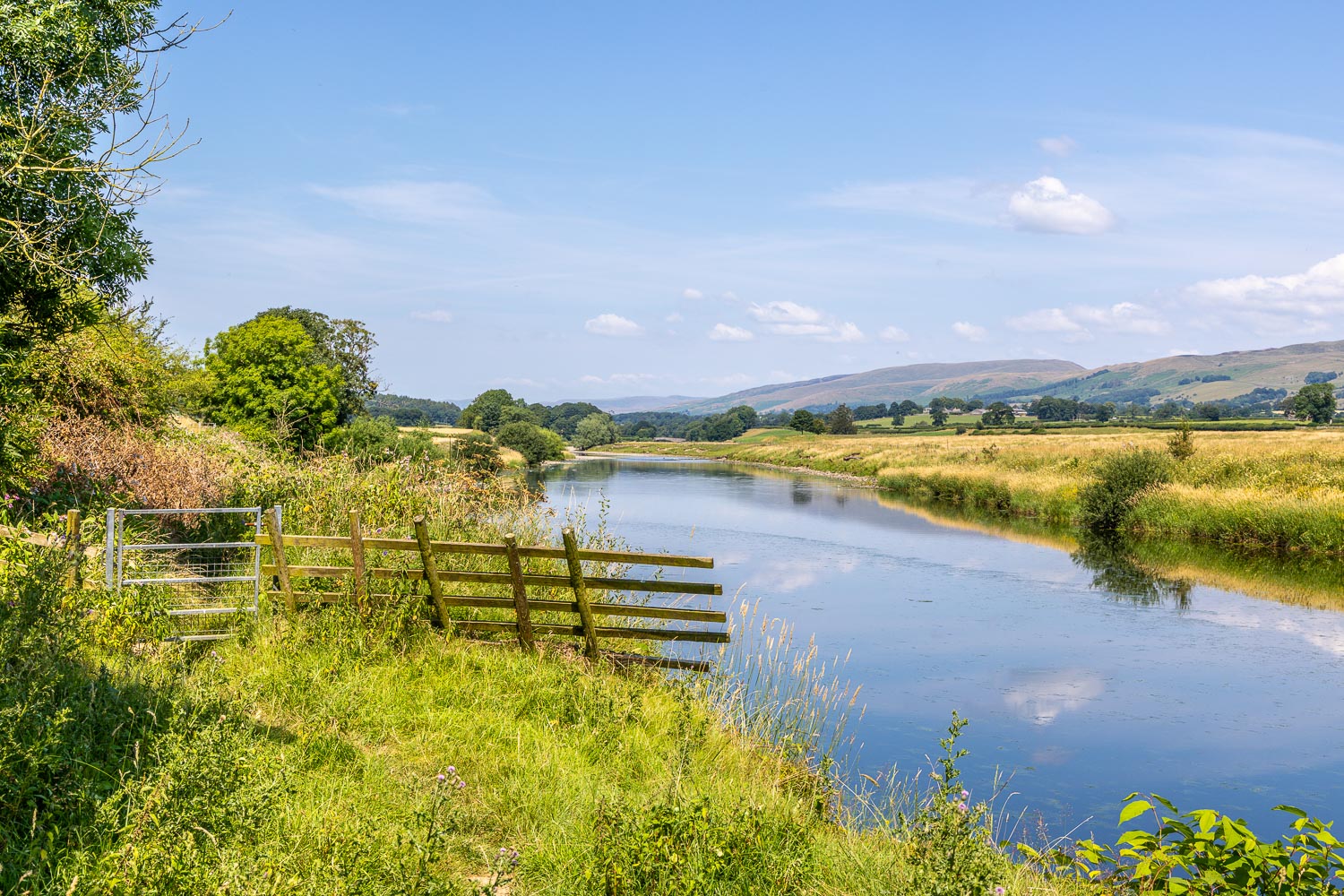
I follow a path known as the Lune Valley Ramble, which will take me back into Kirkby Lonsdale...
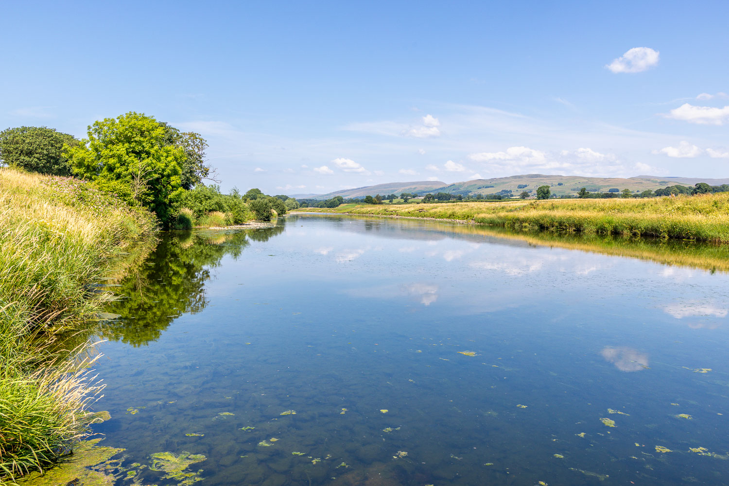
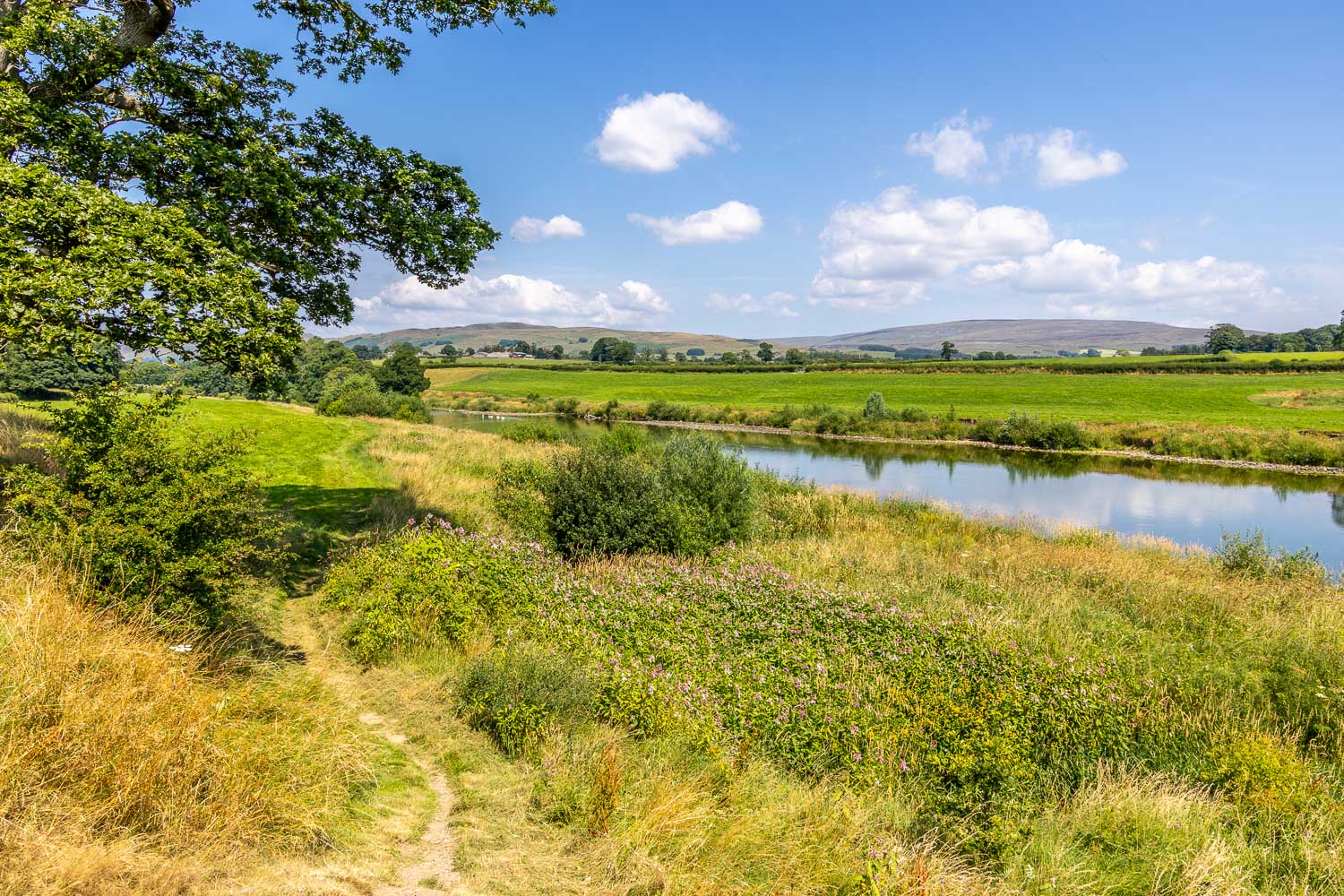
In the foreground is a drift of himalayan balsam. The plant is attractive in some ways, but it's non-native and a very invasive species. Sadly there were large swathes of the plant along the way and it will require a huge effort to prevent it colonising the banks of the river
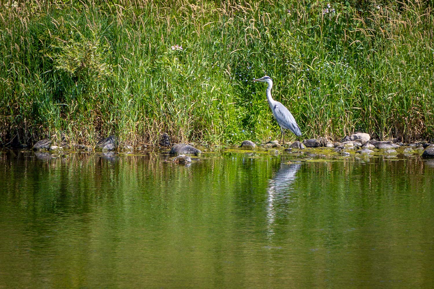
A heron on the far bank of the river. I also spotted sand martins, egrets and oystercatcher along the way
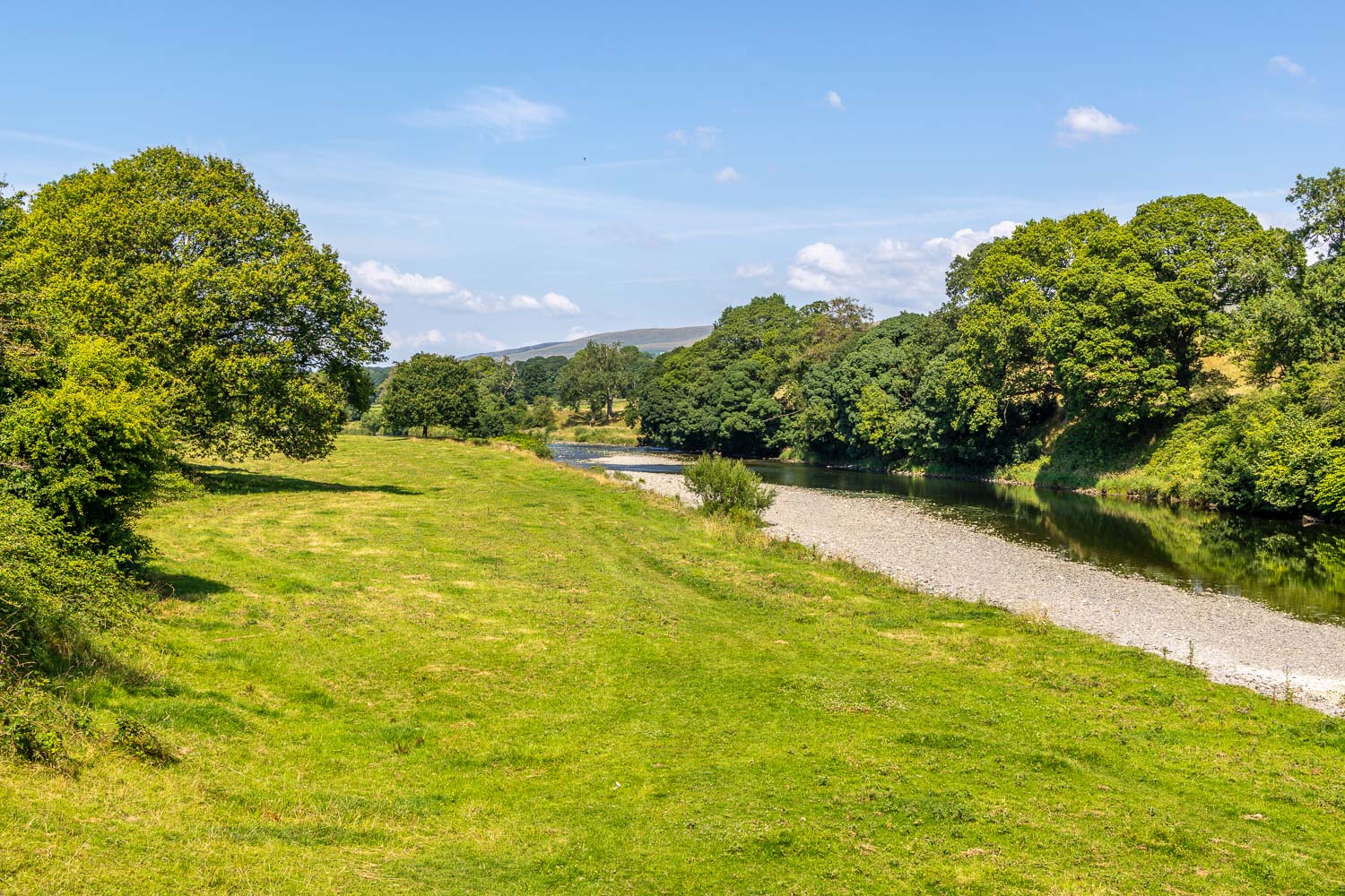
Approaching Kirkby Lonsdale...
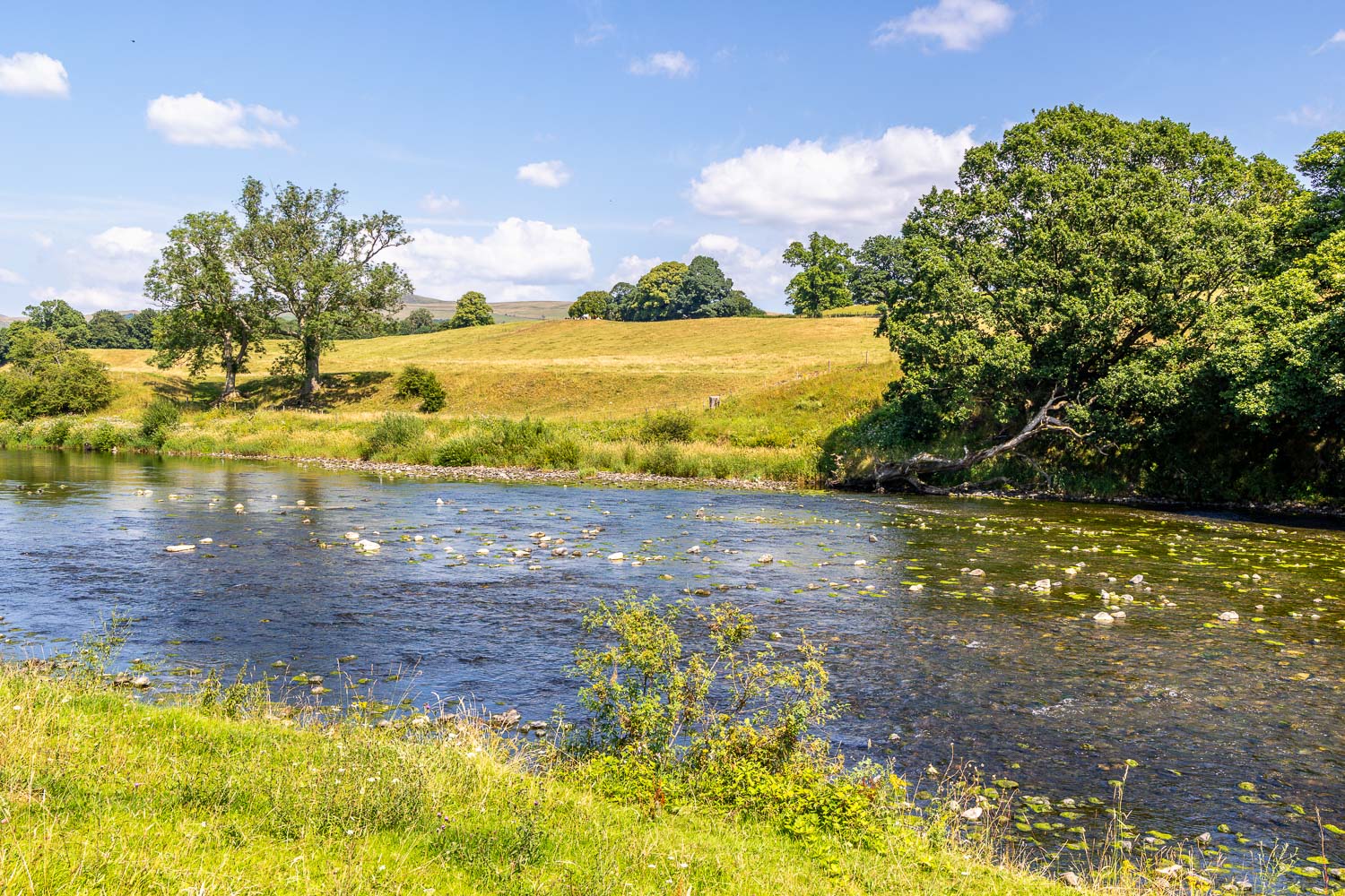
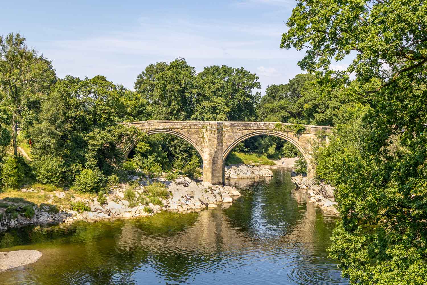
I arrive back at Devil's Bridge to end a wonderful circuit in the Lune Valley