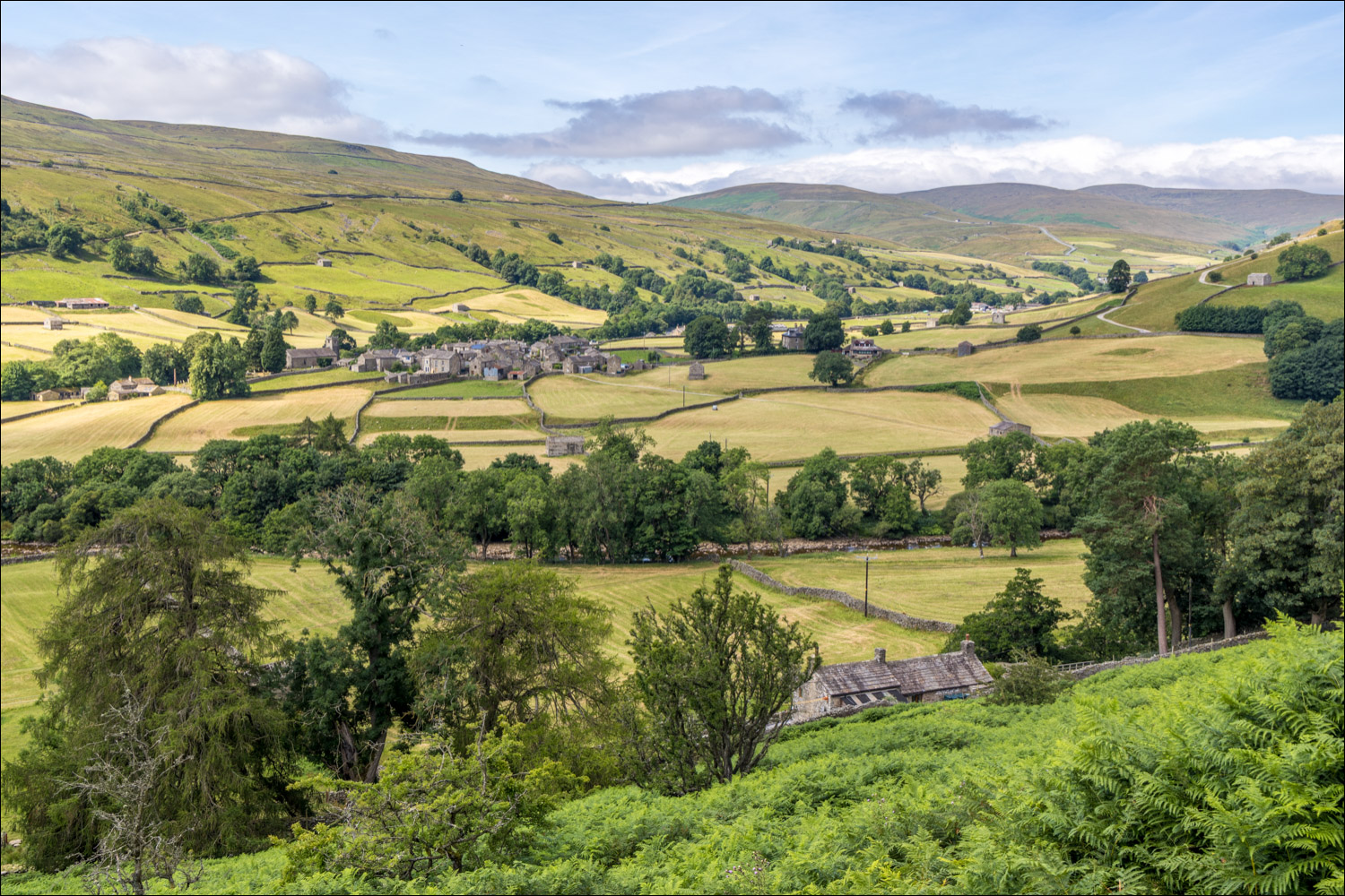
Route: Muker and Swaledale
Area: Yorkshire Dales
Date of walk: 24th July 2026
Walkers: Andrew
Distance: 5.3 miles
Ascent: 400 feet
Weather: Sunshine and clouds
My recent walk from Reeth inspired me to revisit the Yorkshire Dales, one of the best walking areas in the country. I plotted a walk including Muker and Swaledale, starting from the village of Muker which is well known for its wonderful haymeadows, click here for a visit in June last year. As on the last occasion I parked in one of the roadside spaces at the edge of the village and followed the lane uphill past St Mary’s Church. This brought me to the Muker meadows. I guessed that the meadows would have been cut for hay by now – the recent drought has meant that this is an ideal time for harvesting hay. My guess was correct and I followed a stone path through the newly mown fields, crossing several squeeze stiles, before arriving at the River Swale
Instead of heading along the valley as I’d done last year, I turned right and followed a path to Ramps Holme Bridge. This took me across the River Swale and from here I climbed up to a mid-level track which runs along Swaledale. The views from here were superlative – this must be one of the loveliest valleys in the country. Eventually I arrived at the far point of the walk, Gunnerside Lodge above the settlement of Ivelet. I followed the lane downhill and joined a path, part of the long distance Coast to Coast walk, which hugs the banks of the River Swale
On the approach to Muker, the OS map shows a public footpath leading directly back into the village. However this involves crossing the river and there’s no bridge. A sign warns that the river is impassable after rain. Although there’s been no rain for weeks it wasn’t worth exploring this option and so I carried on to Ramps Holme Bridge and from here I retraced my steps back through the meadows into Muker to end another wondrous walk in the Dales
Click on the icon below for the route map (subscribers to OS Maps can view detailed maps of the route, visualise it in aerial 3D, and download the GPX file. Non-subscribers will see a base map)

Scroll down – or click on any photo to enlarge it and you can then view as a slideshow
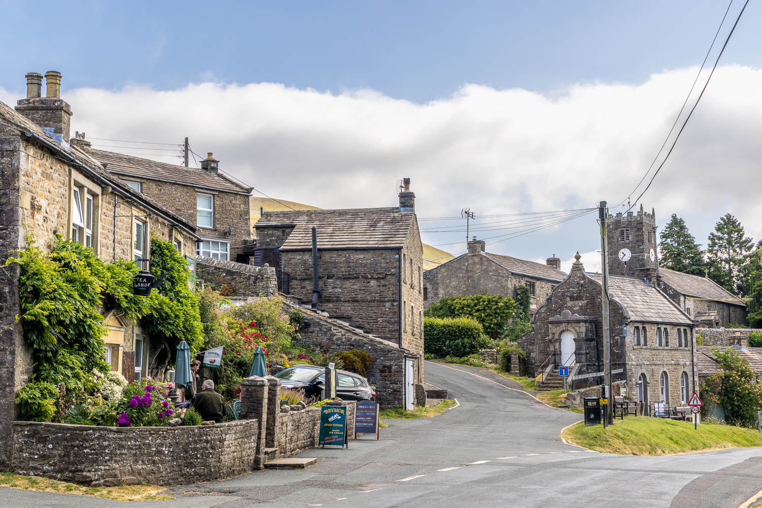
The village of Muker at the start of the walk. I turn left uphill and pass by St Mary's Church
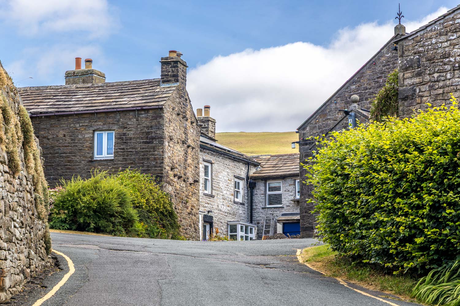
I continue uphill and follow a sign to Gunnerside and Keld
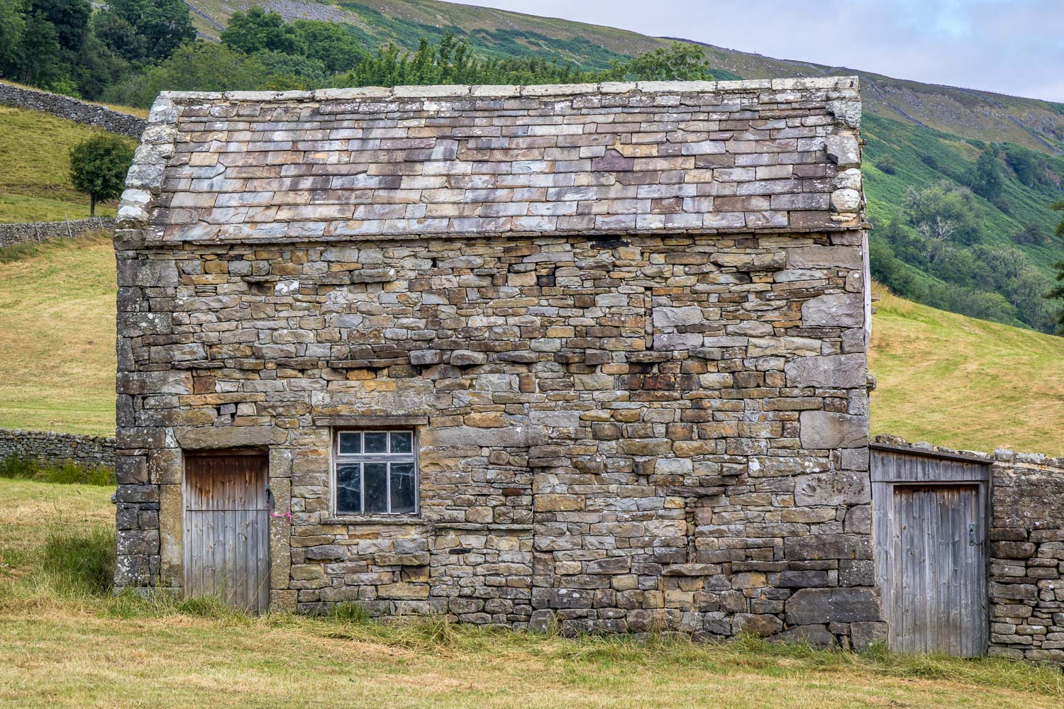
I enter into the Muker meadows and pass by one of the many barns or cowhouses which adorn the area. These ancient buildings consist of a lower 'shippon' (stall area) for cattle and an upper 'mew' (loft) to store hay harvested from the fields
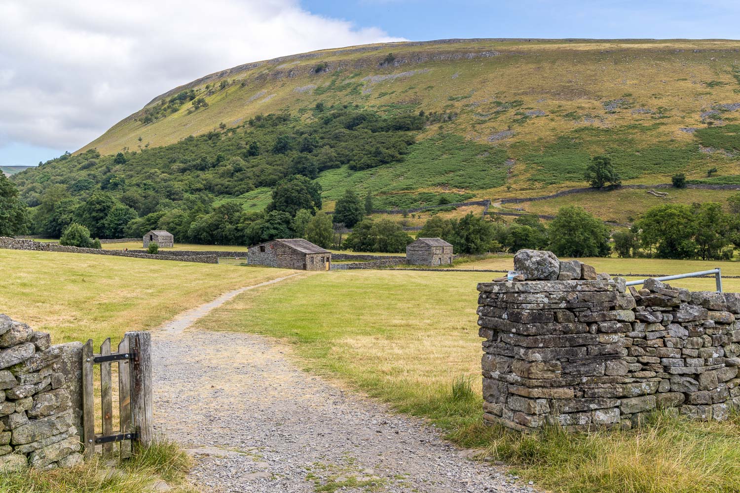
Ivelet Side in the background. My path will follow the line of the dry stone wall along its flanks, heading left to right
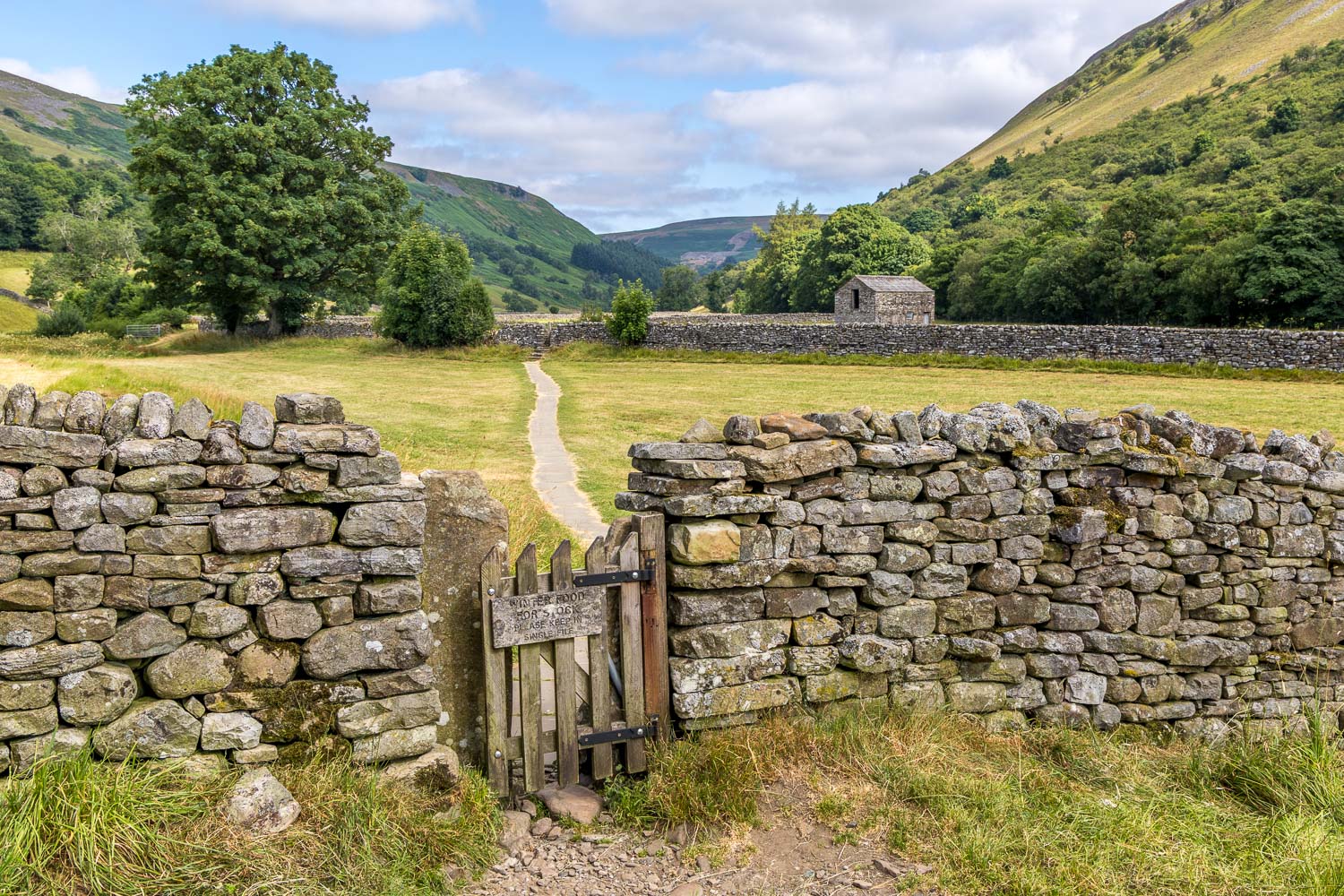
The first of several squeeze stiles along the way...
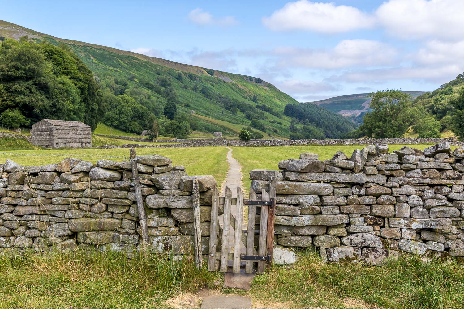
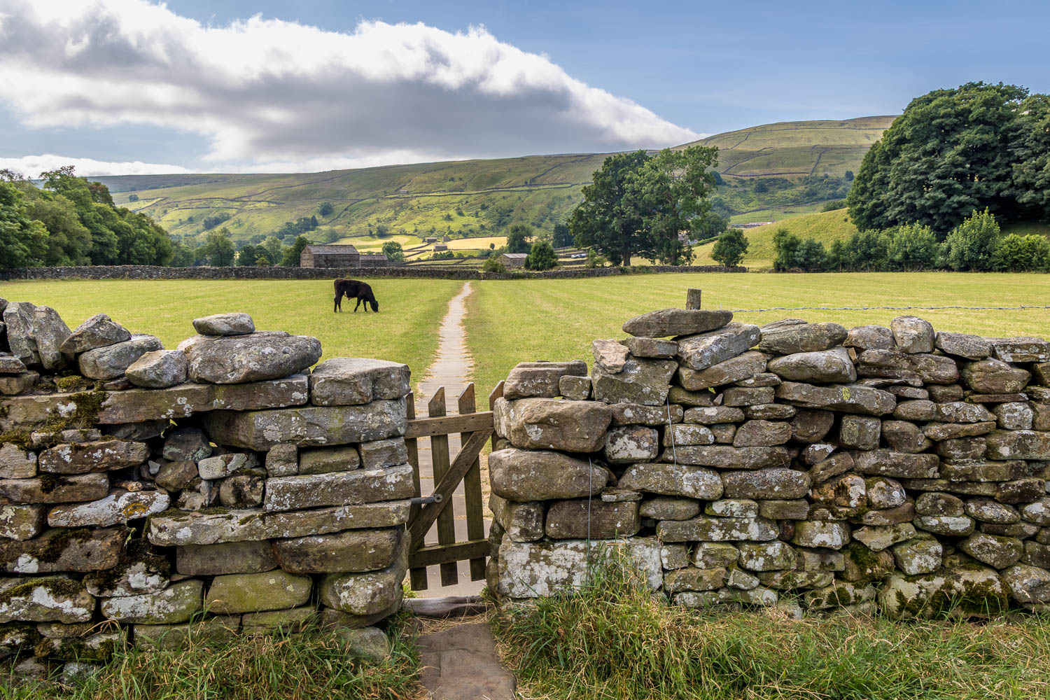
Looking back to Muker
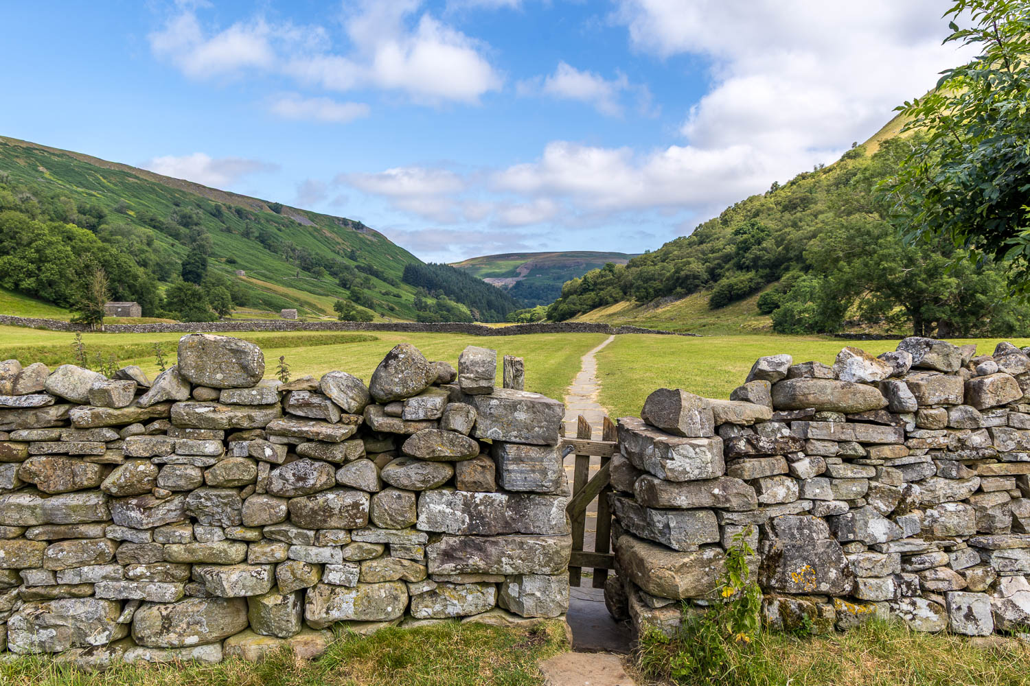
I continue up the valley but will soon turn right to leave it
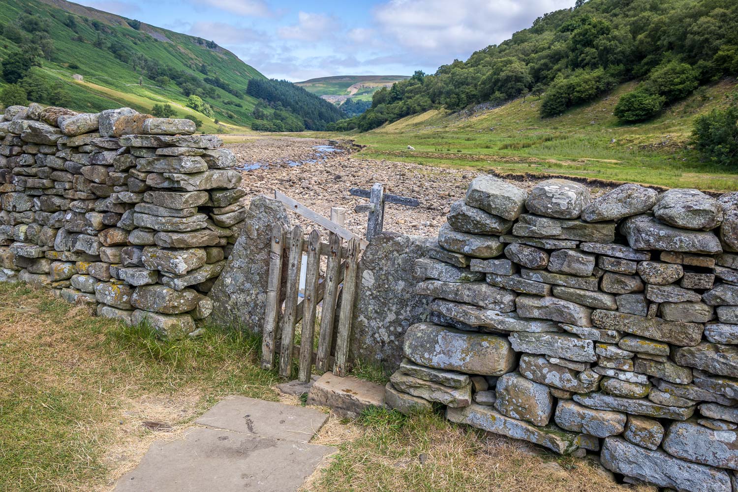
I arrive at the River Swale, which is very dry thanks to an absence of rain for several weeks. I turn right at the sign for Gunnerside
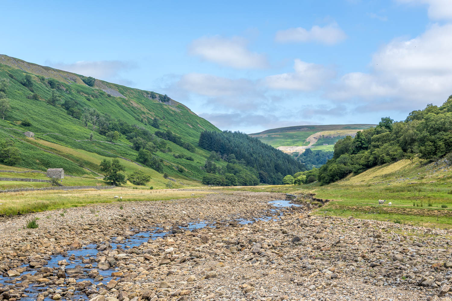
Looking along the River Swale
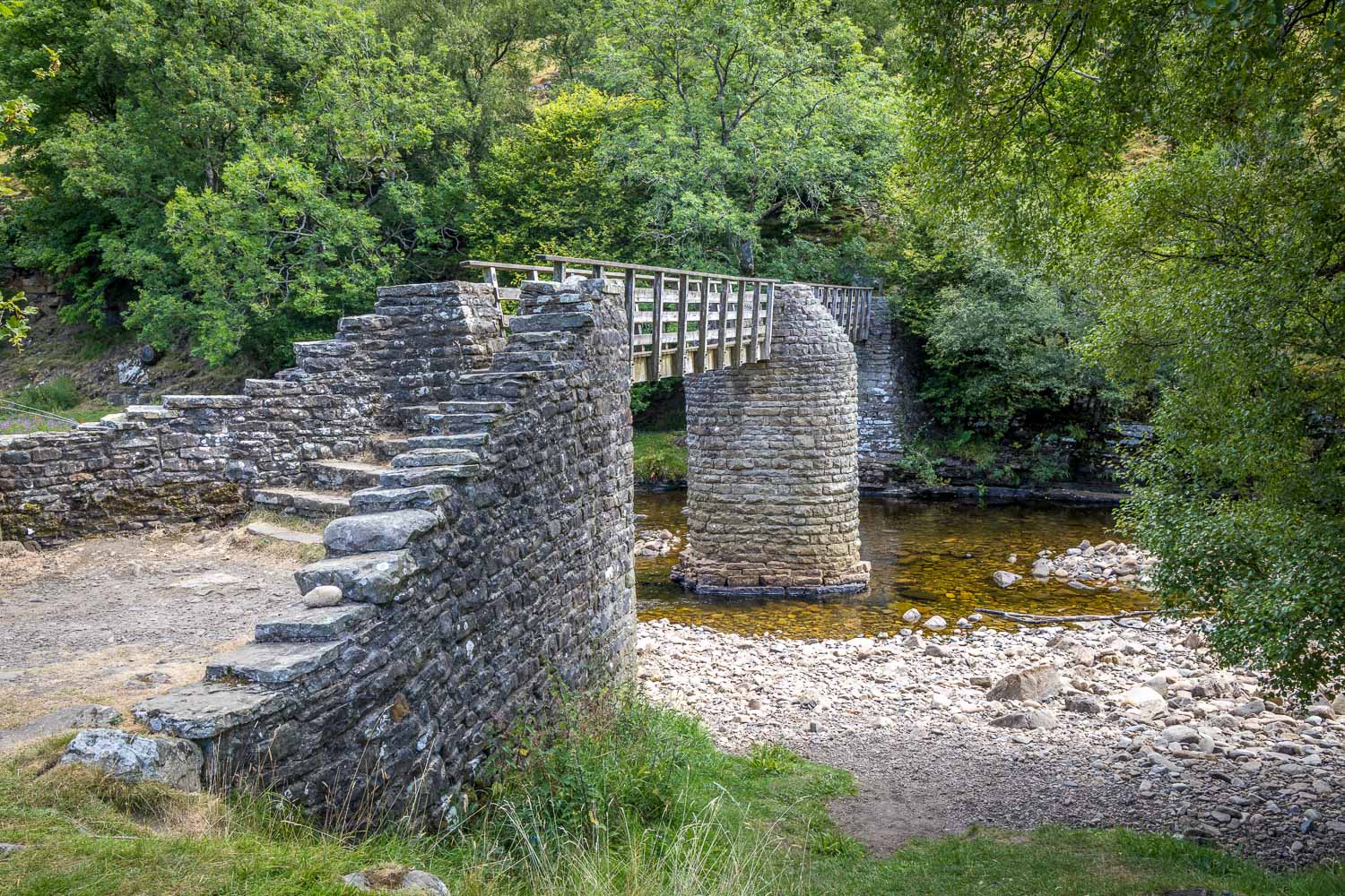
I cross Ramps Holme Bridge
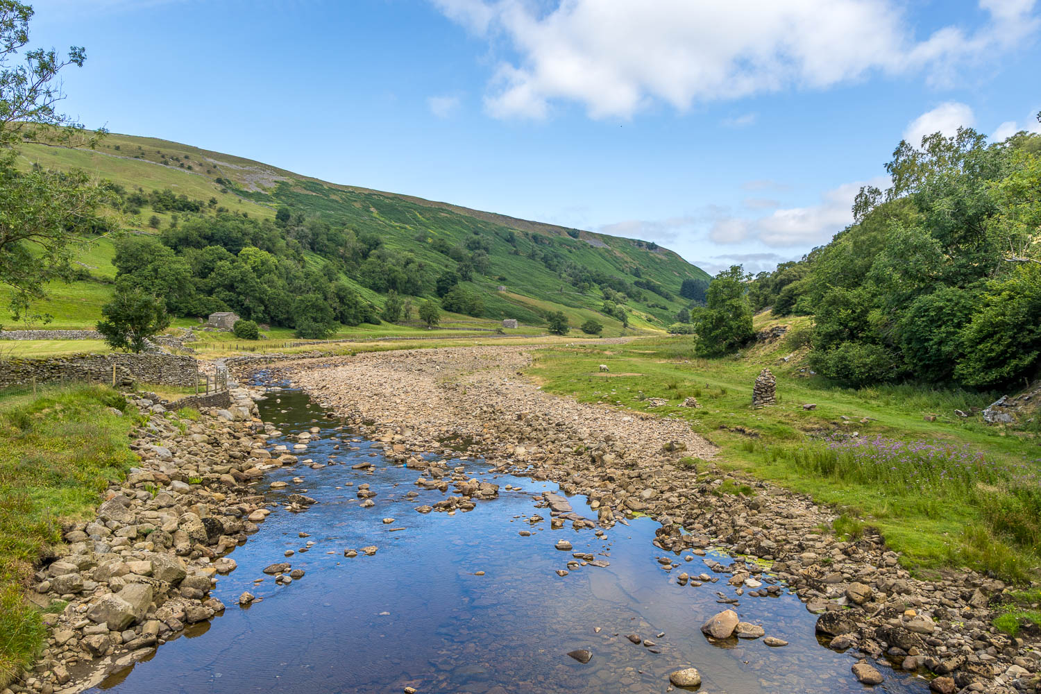
The River Swale from Ramps Holme Bridge
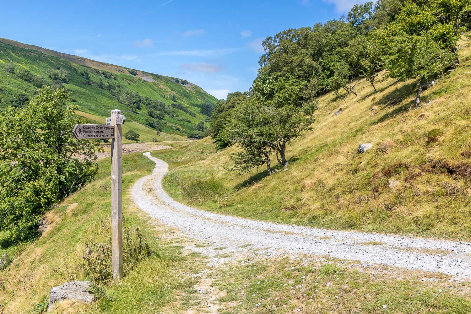
I climb up to join the higher of two paths to Gunnerside and turn sharp right here. I'll return via the lower path
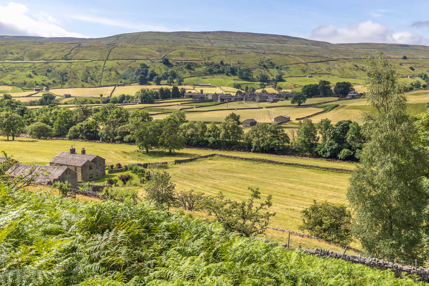
Looking back across to Muker as I follow the elevated track, which has superb views throughout
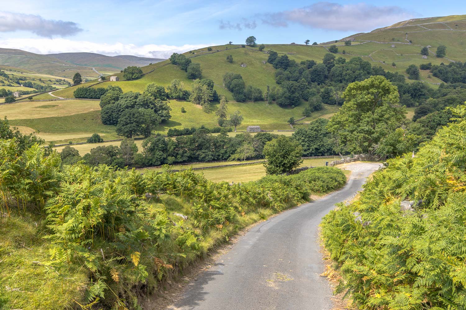
Looking back to the lower slopes of Kisdon
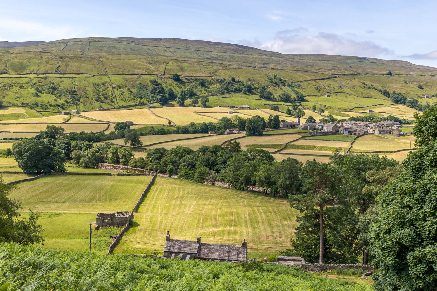
Muker and Swaledale
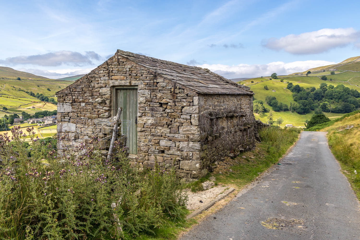
I pass by an old barn
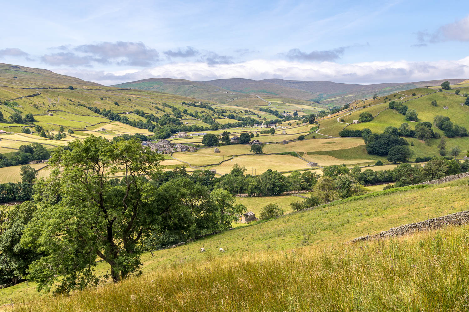
Swaledale
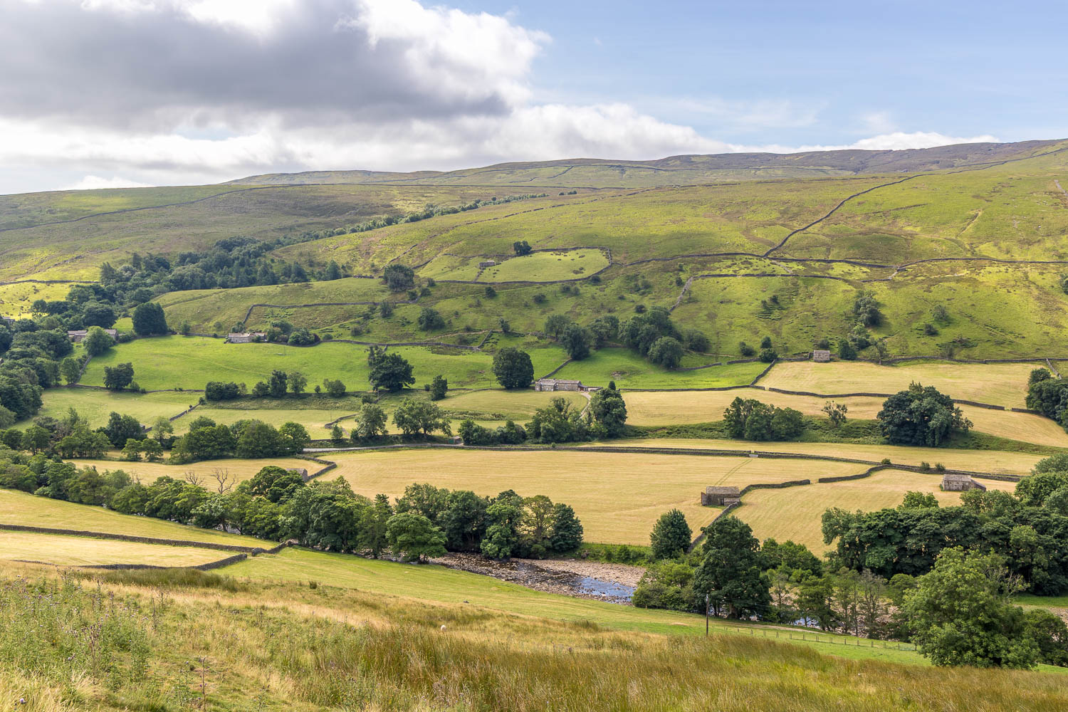
Muker Side beyond the River Swale. My return path will follow the riverbank
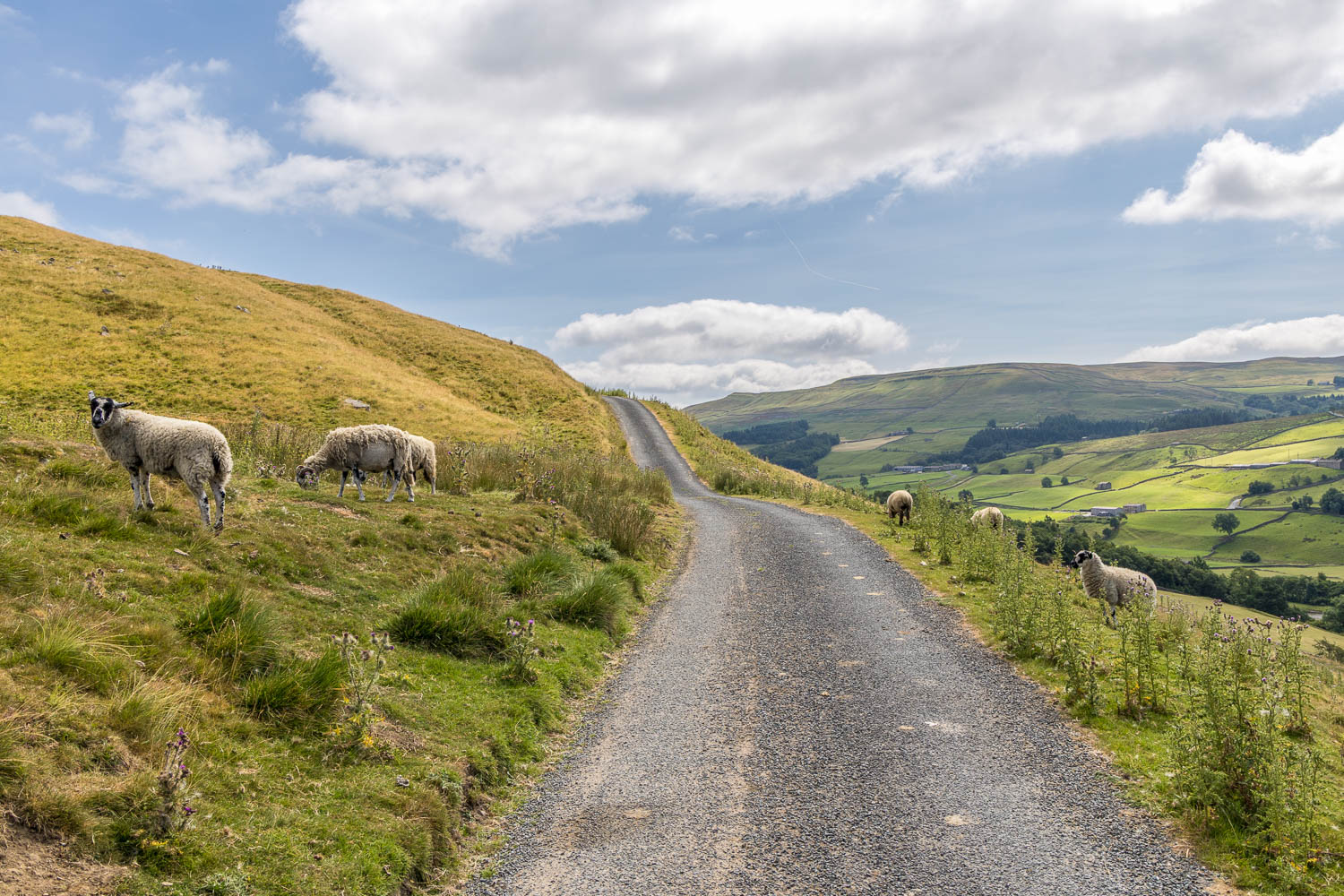
The track rises to an elevation of about 1,000 feet, giving extensive views over Swaledale...
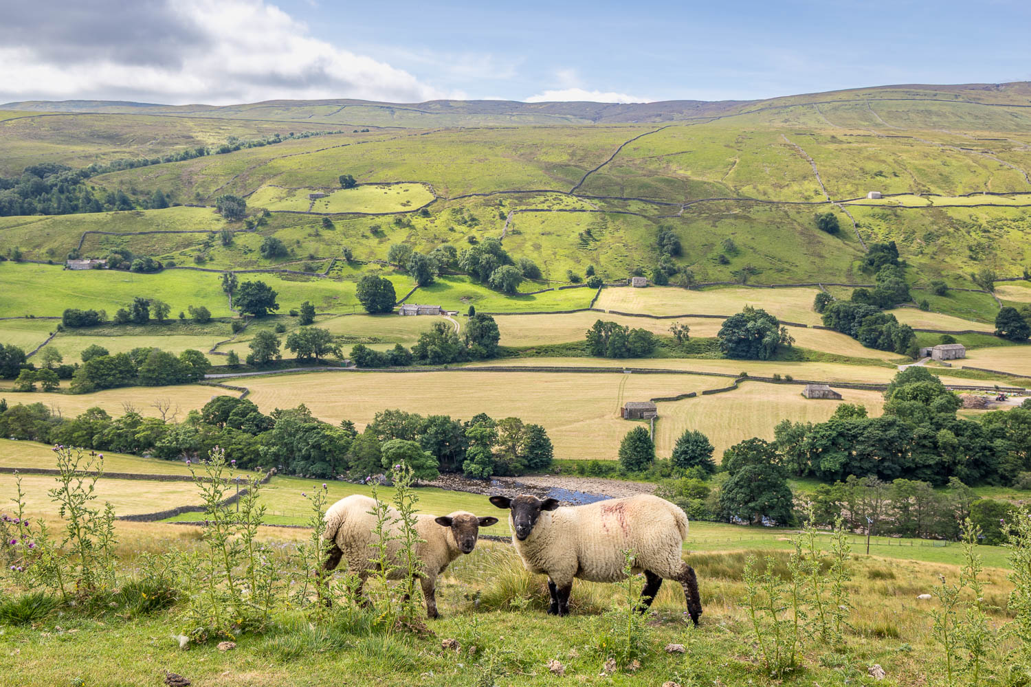
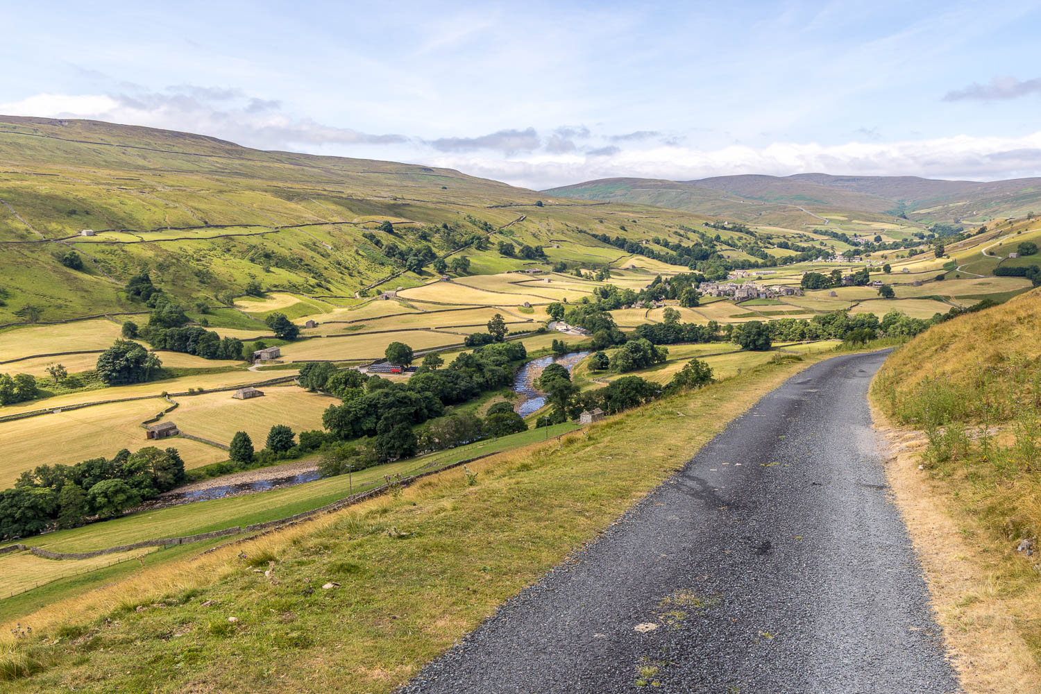
Looking back to Muker
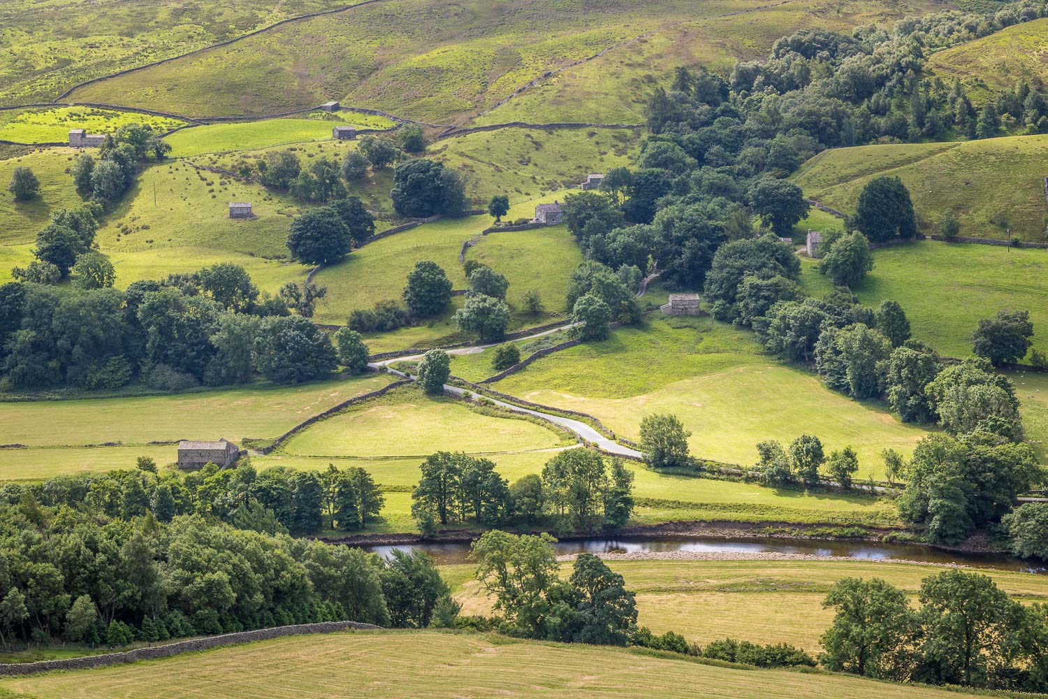
Views across Swaledale as I follow the delightful track...
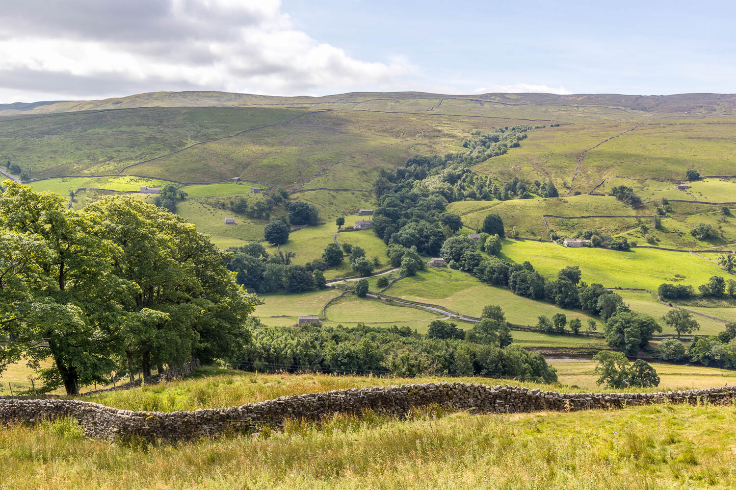
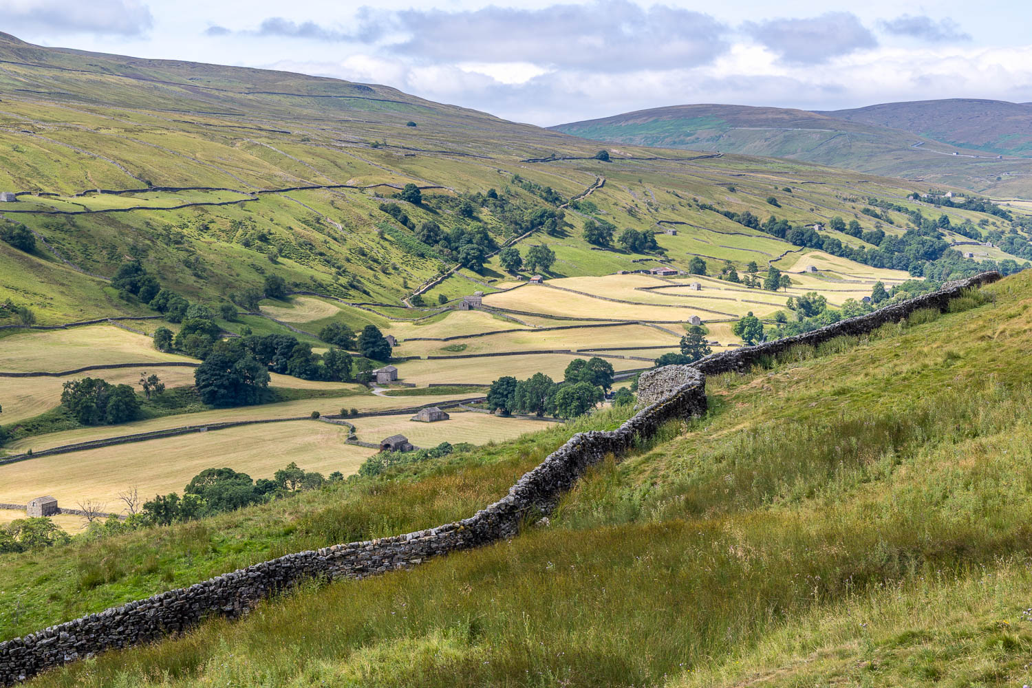
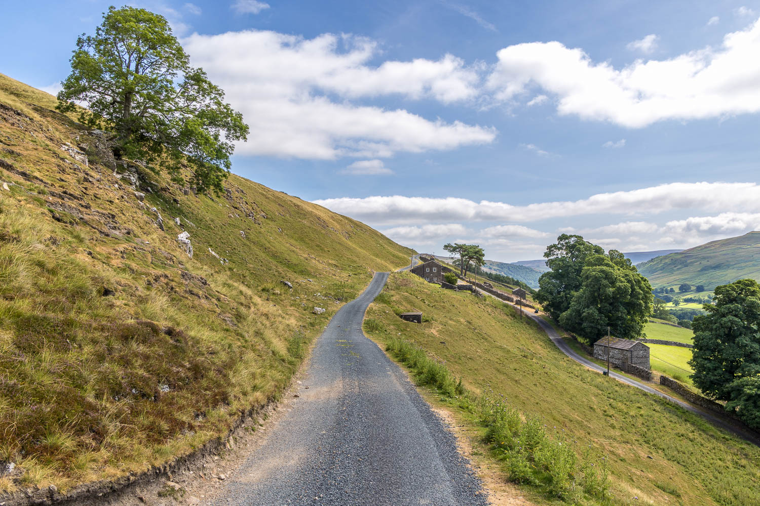
Calvert Houses ahead. Anyone looking to shorten the walk could do so here, by turning right and descending into Swaledale
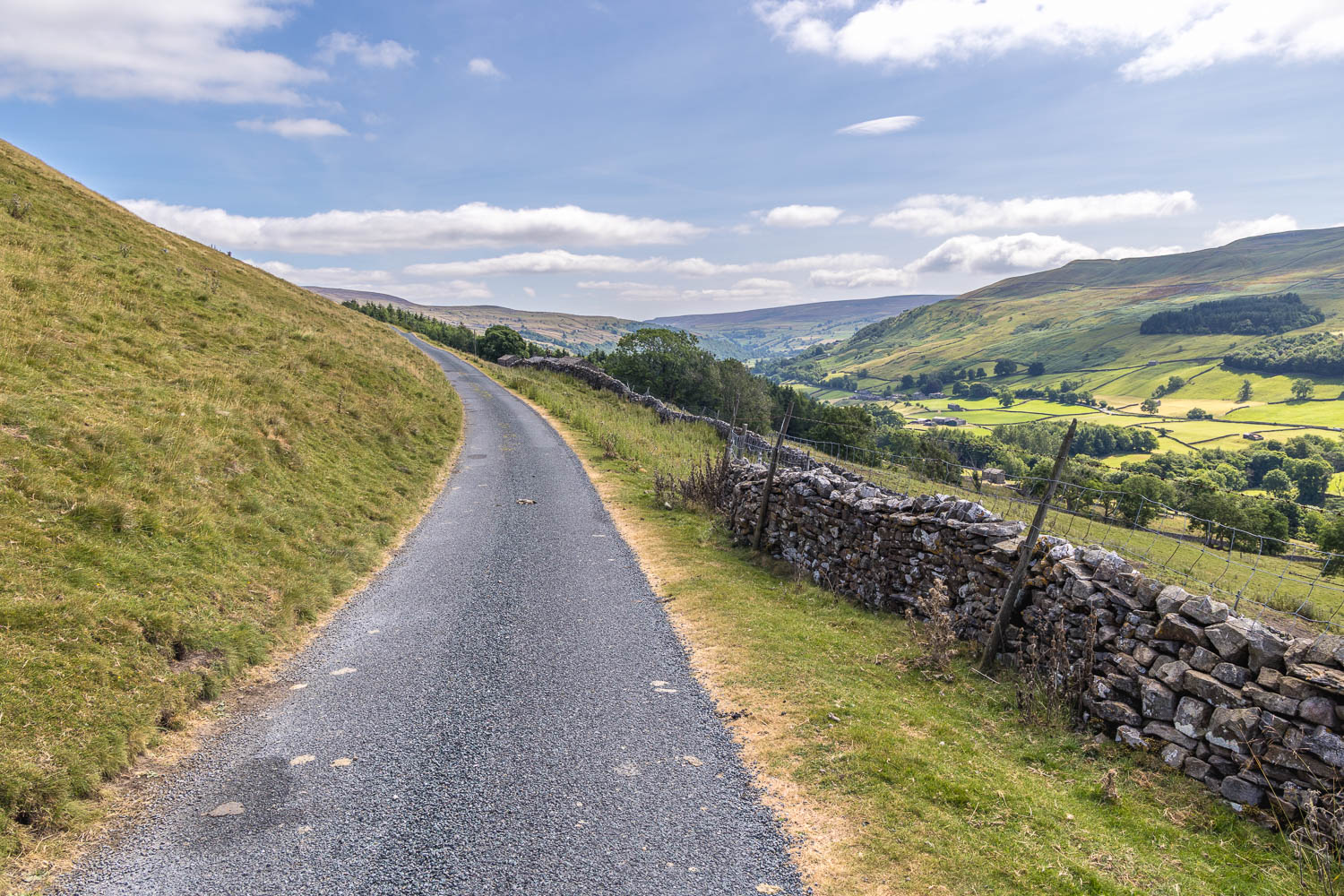
I continue along the elevated track
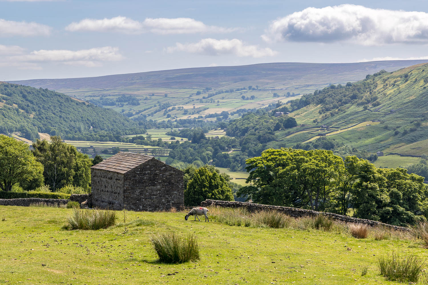
The view ahead
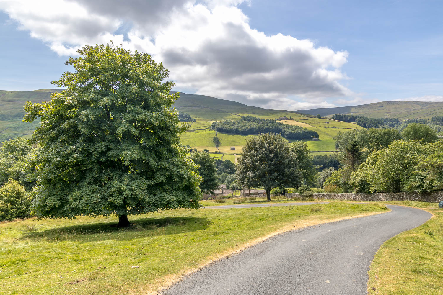
On reaching Gunnerside Lodge I descend into the hamlet of Ivelet
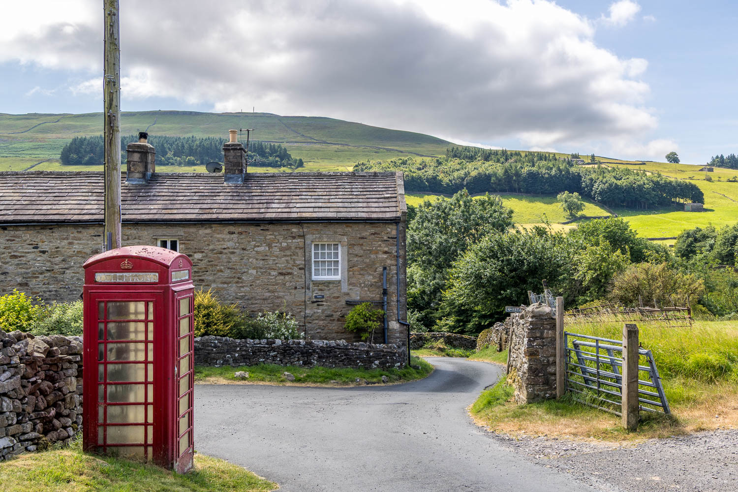
I walk through Ivelet, the far point of the walk, and follow the road around to the right
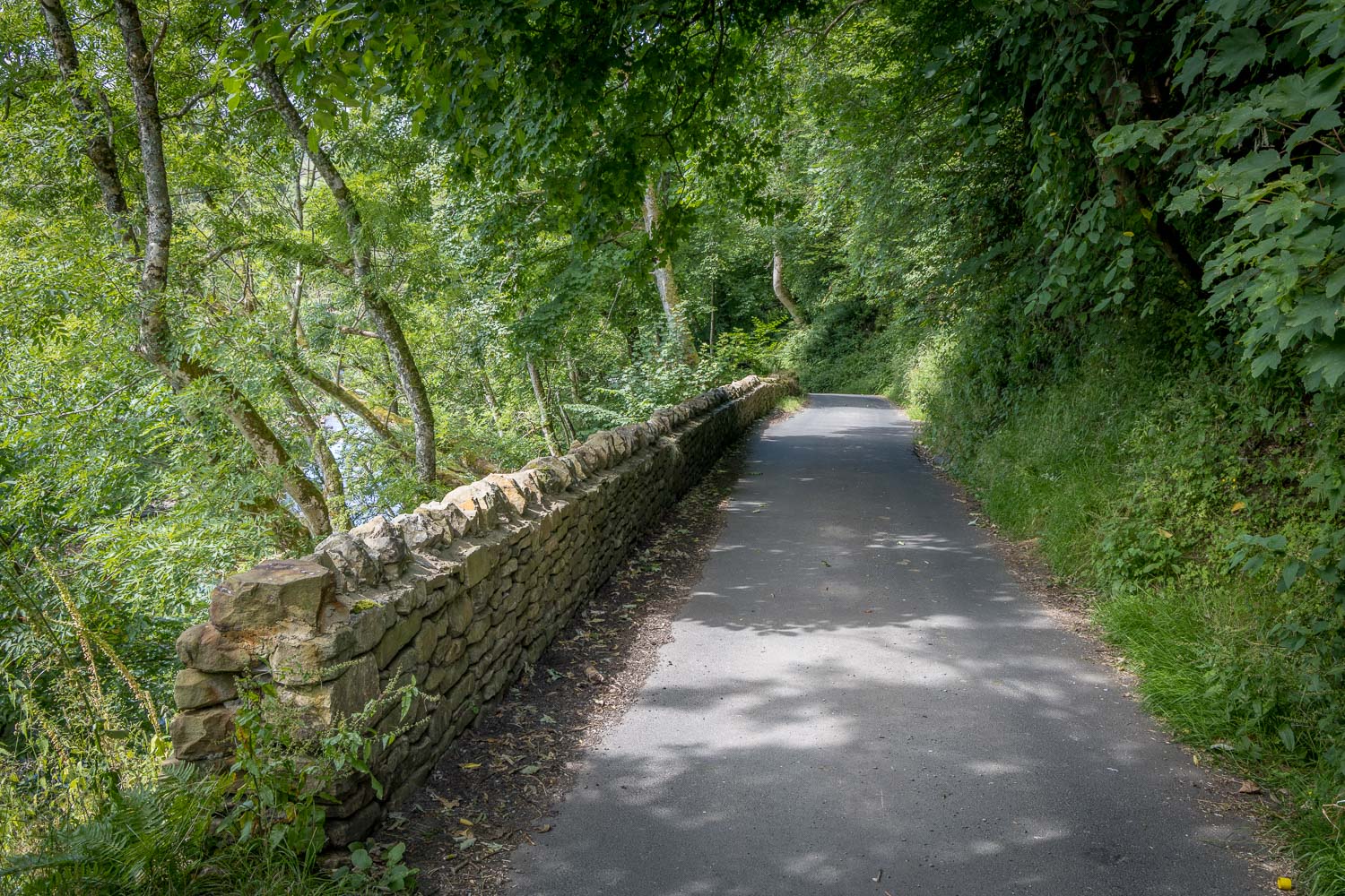
I follow the lane out of Ivelet, with the River Swale on my left
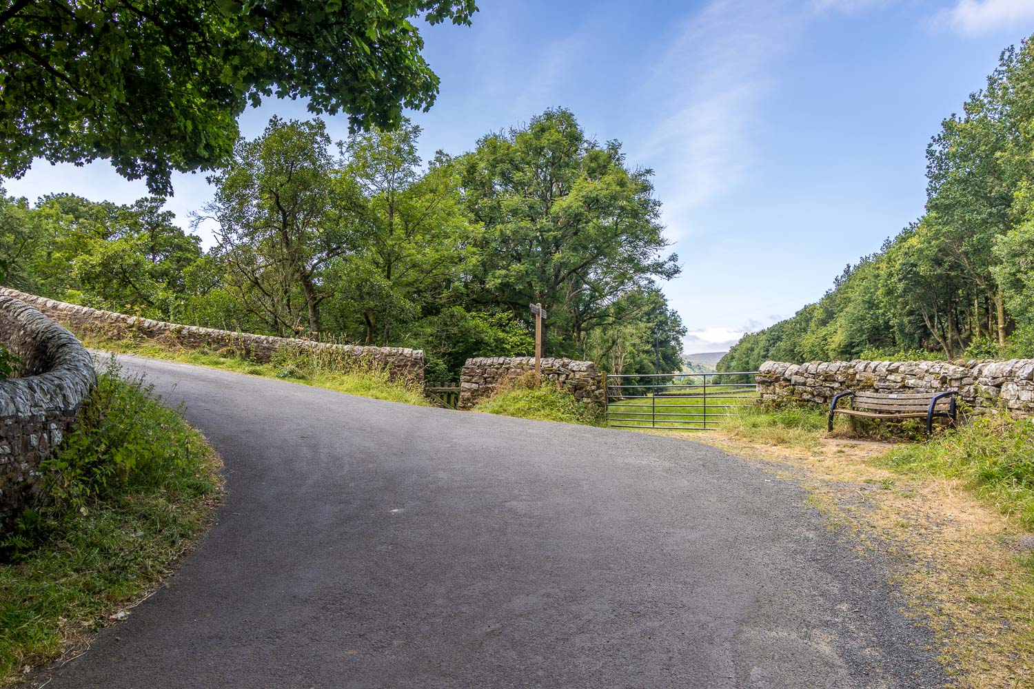
Ivelet Bridge on the left. I leave the lane here and carry on into the fields ahead
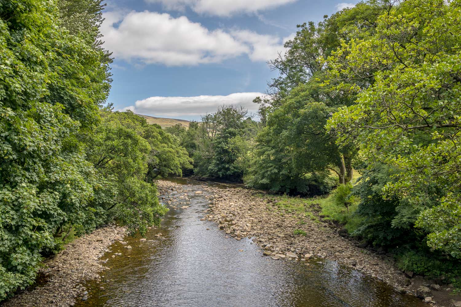
The River Swale from Ivelet Bridge
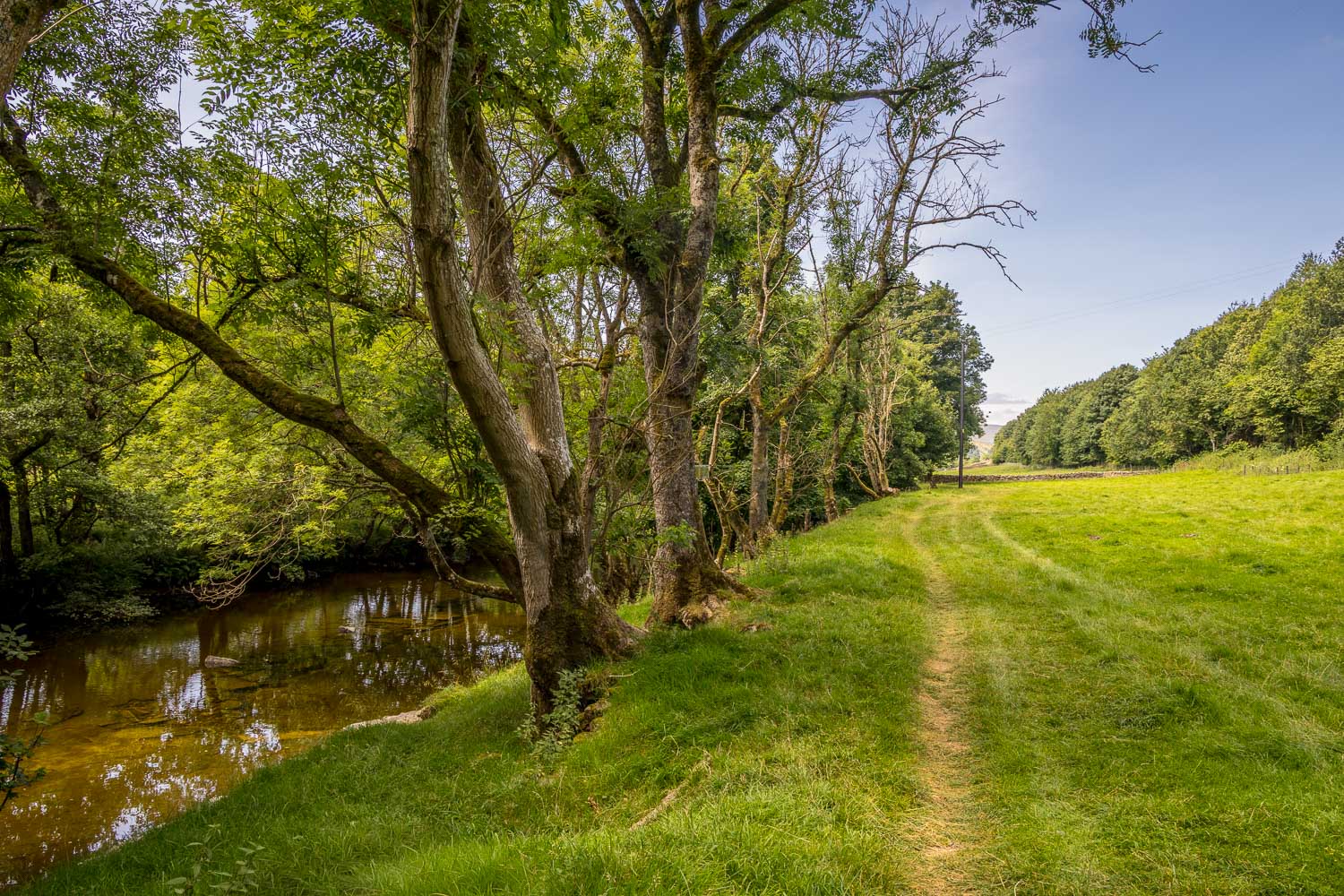
The River Swale is my constant companion for the return leg back to Muker
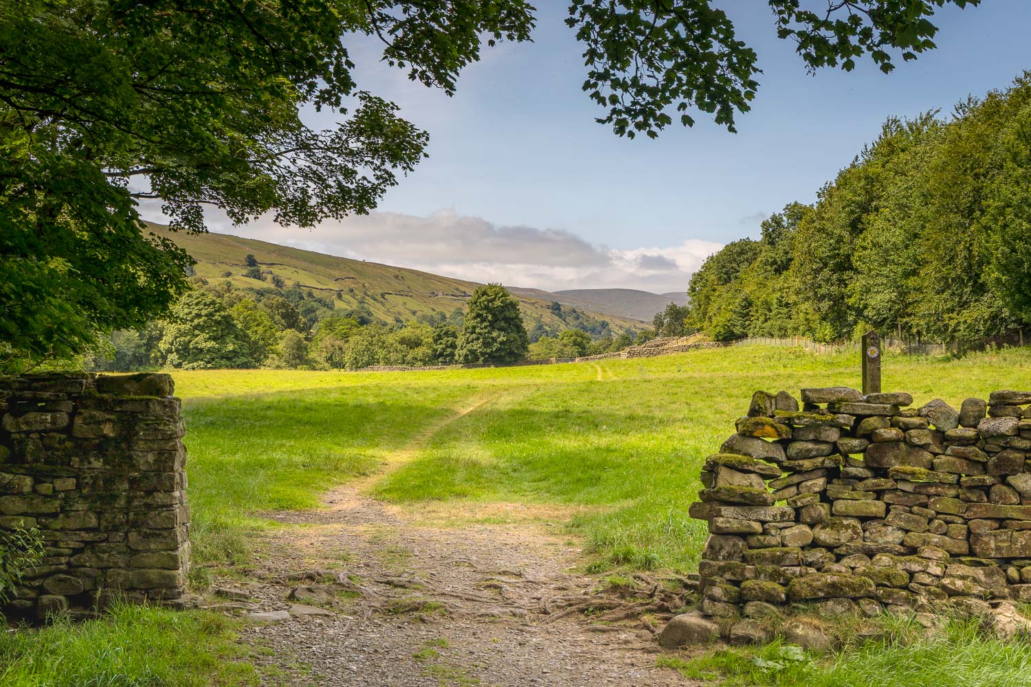
I follow paths through a succession of fields along the valley floor of Swaledale...
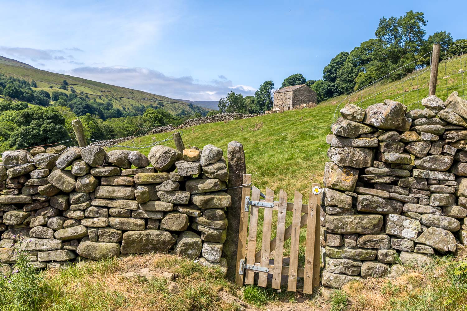
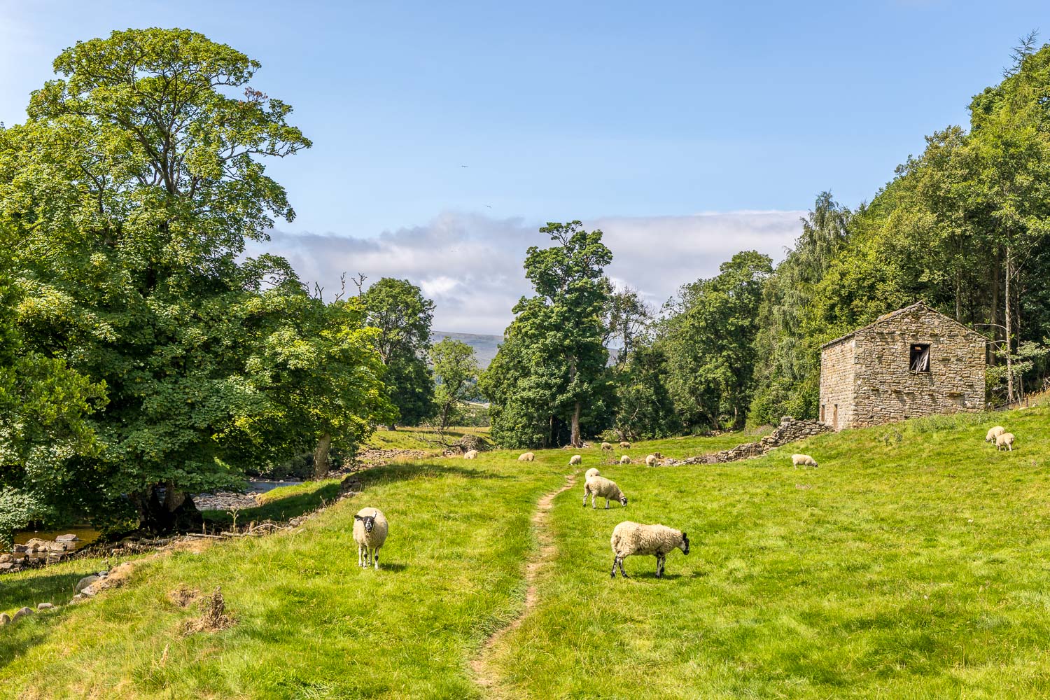
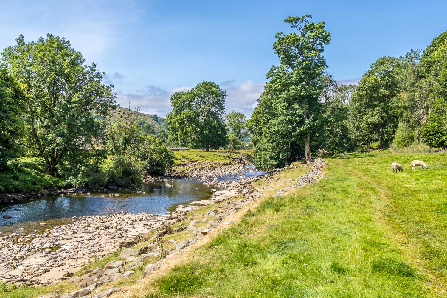
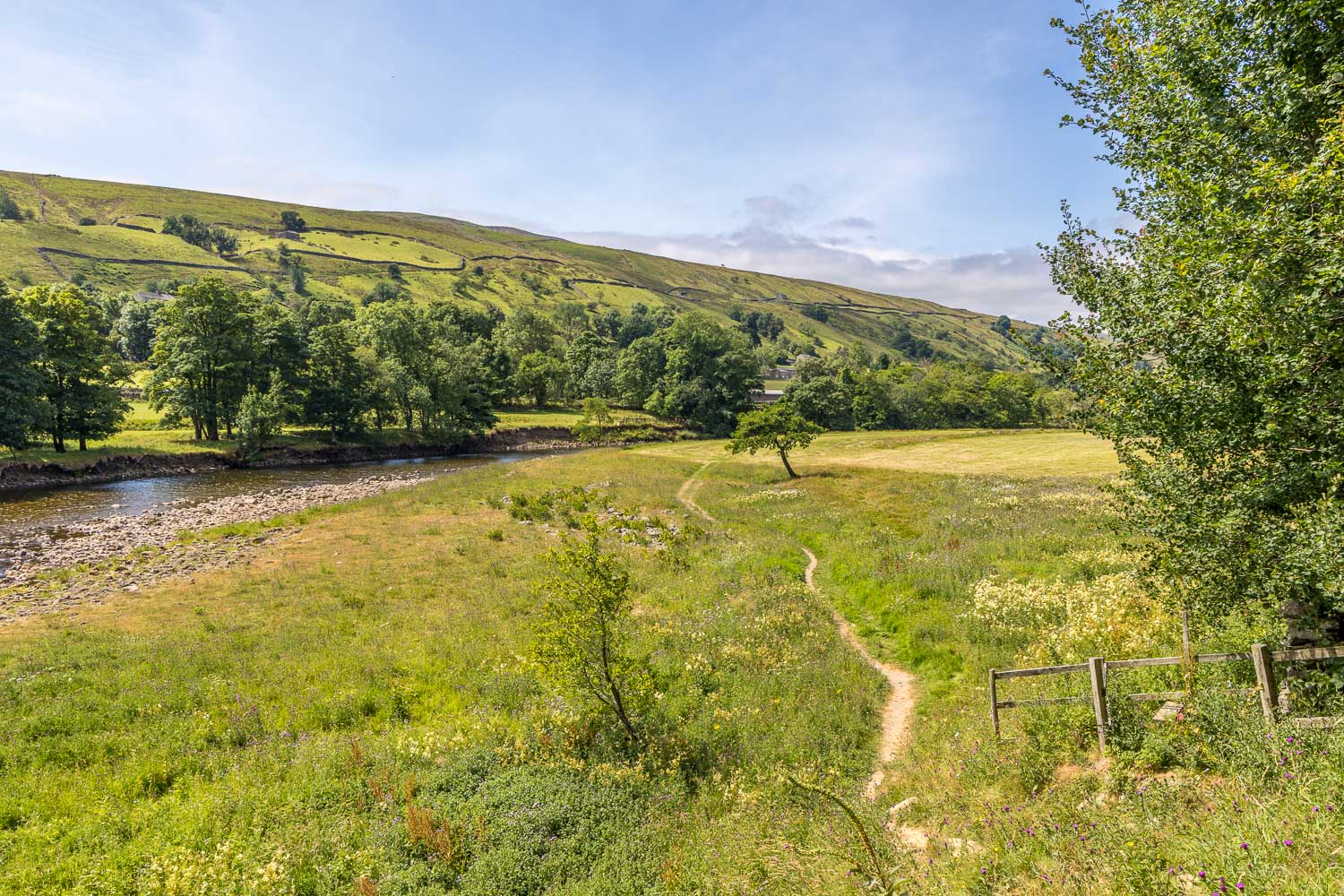
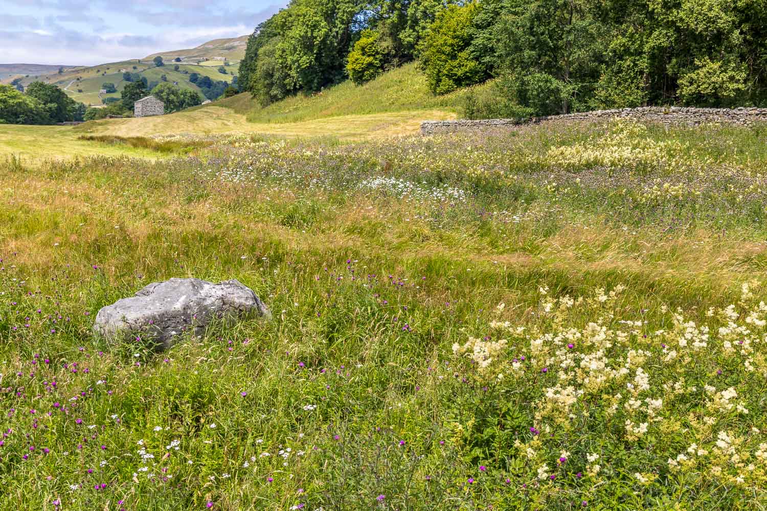
I walk through an area of wet pasture which is full of wildflowers...
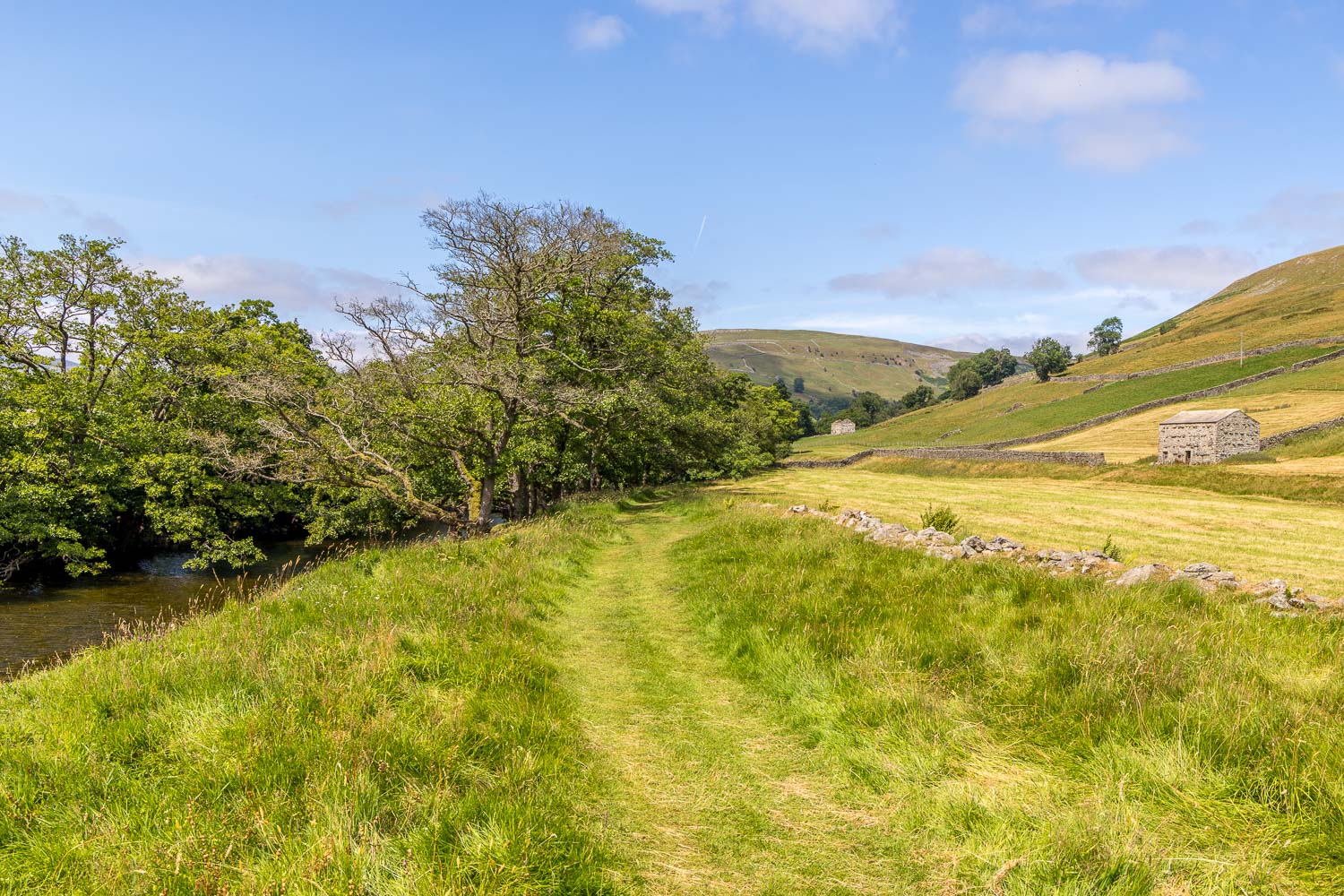
I continue along the banks of the River Swale
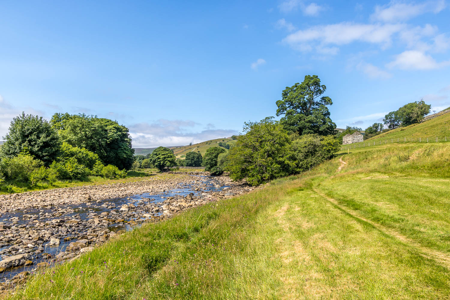
Limestone hills on my right, where I'd walked earlier
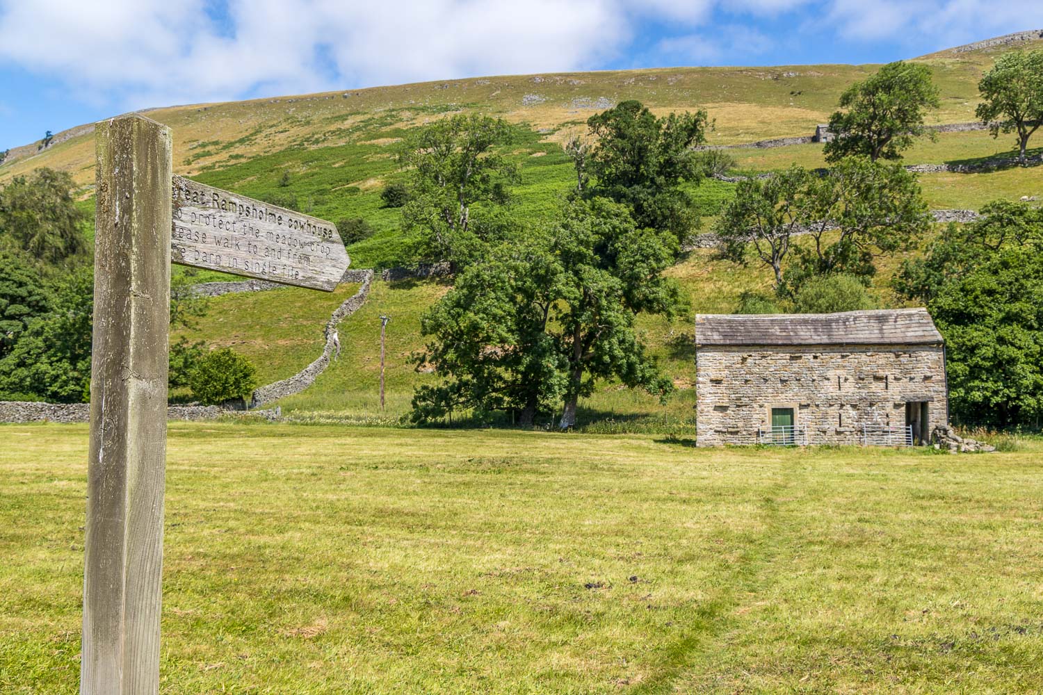
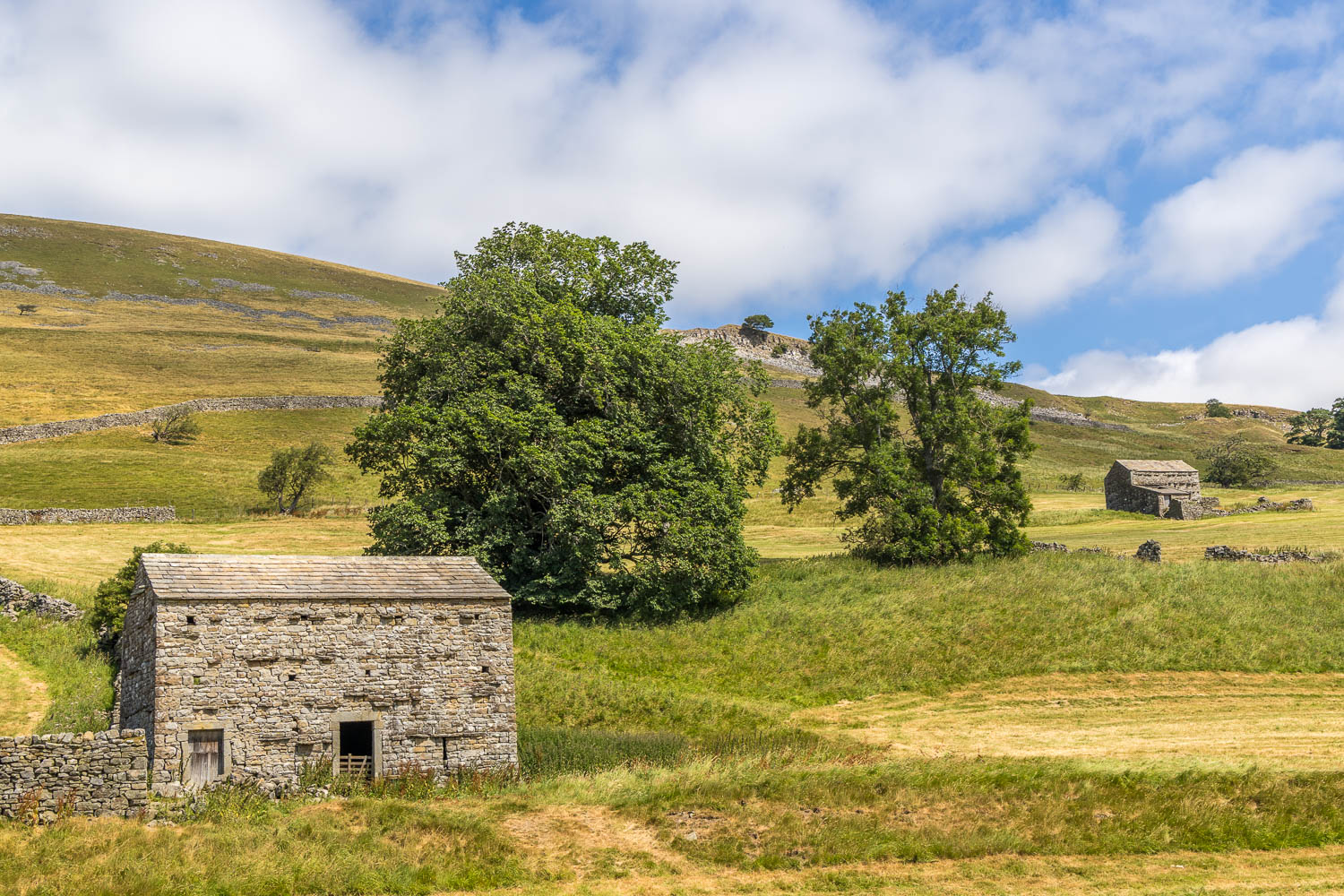
Great Rampsholme Cowhouse, dating back to the 17th century and restored by the Yorkshire Dales National Park Authority using traditional methods.
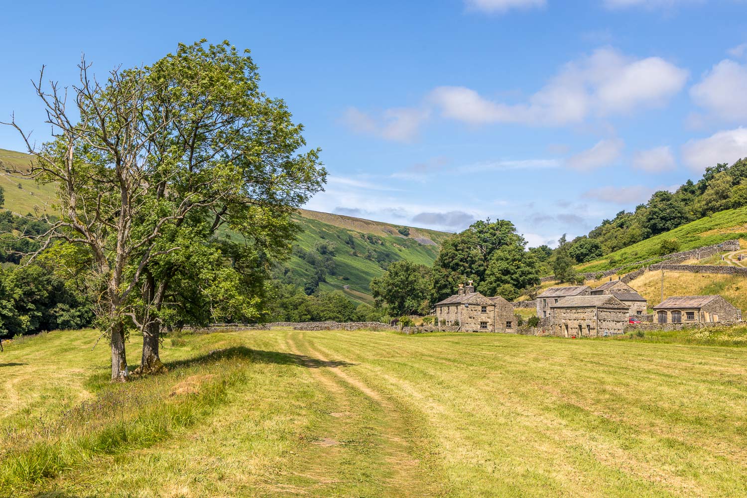
I pass by Ramps Holme Farm
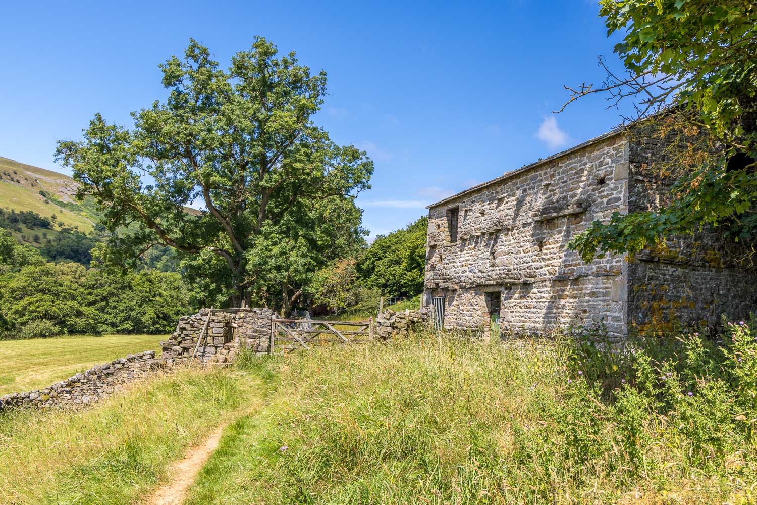
Beyond the farm I pass by another old barn
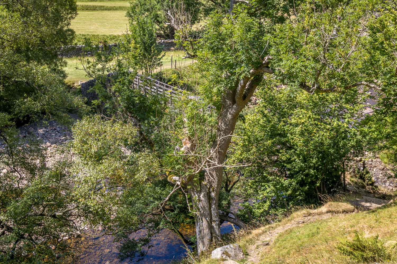
Looking down to Ramps Holme Bridge. I cross the bridge and retrace my steps through Muker meadows back into the village
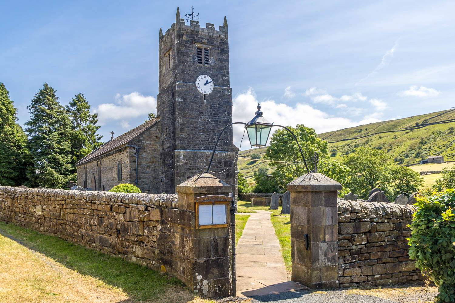
I pass by St Mary's Church Muker again at the end of a fantastic walk in the Yorkshire Dales
Follow the link for more walks in the Yorkshire Dales (23)