Route: Cowlam to Cottam
Area: East Yorkshire
Date of walk: 9th August 2026
Walkers: Andrew and Gilly
Distance: 5.7 miles
Ascent: 550 feet
Weather: Sunny and very hot
East Yorkshire is home to over 120 recorded deserted medieval villages. Today’s walk from Cowlam to Cottam would link two of them, although there is very little evidence of the original buildings, unlike Wharram Percy which is about 10 miles away.
We parked on the roadside verge on the lane which runs past Cowlam. This was once a thriving Domesday settlement, but the population gradually dwindled until it was finally abandoned in the 17th century. Today, only the farmstead of Cowlam Manor and St Mary’s Church remain. We followed a public footpath sign into the farmyard and made a short diversion to visit St Mary’s Church. This lone surviving medieval church was rebuilt in 1852 as part of the local “Sykes Churches” restoration and features a well-preserved Norman font. Sadly the church faces potential closure due to high upkeep and insurance bills, but local tenant farmer Diann Atkin and volunteers are selling pre-loved goods, books, and bric-a-brac to raise funds. To date, £65,000 has been raised. See the Facebook page for more information
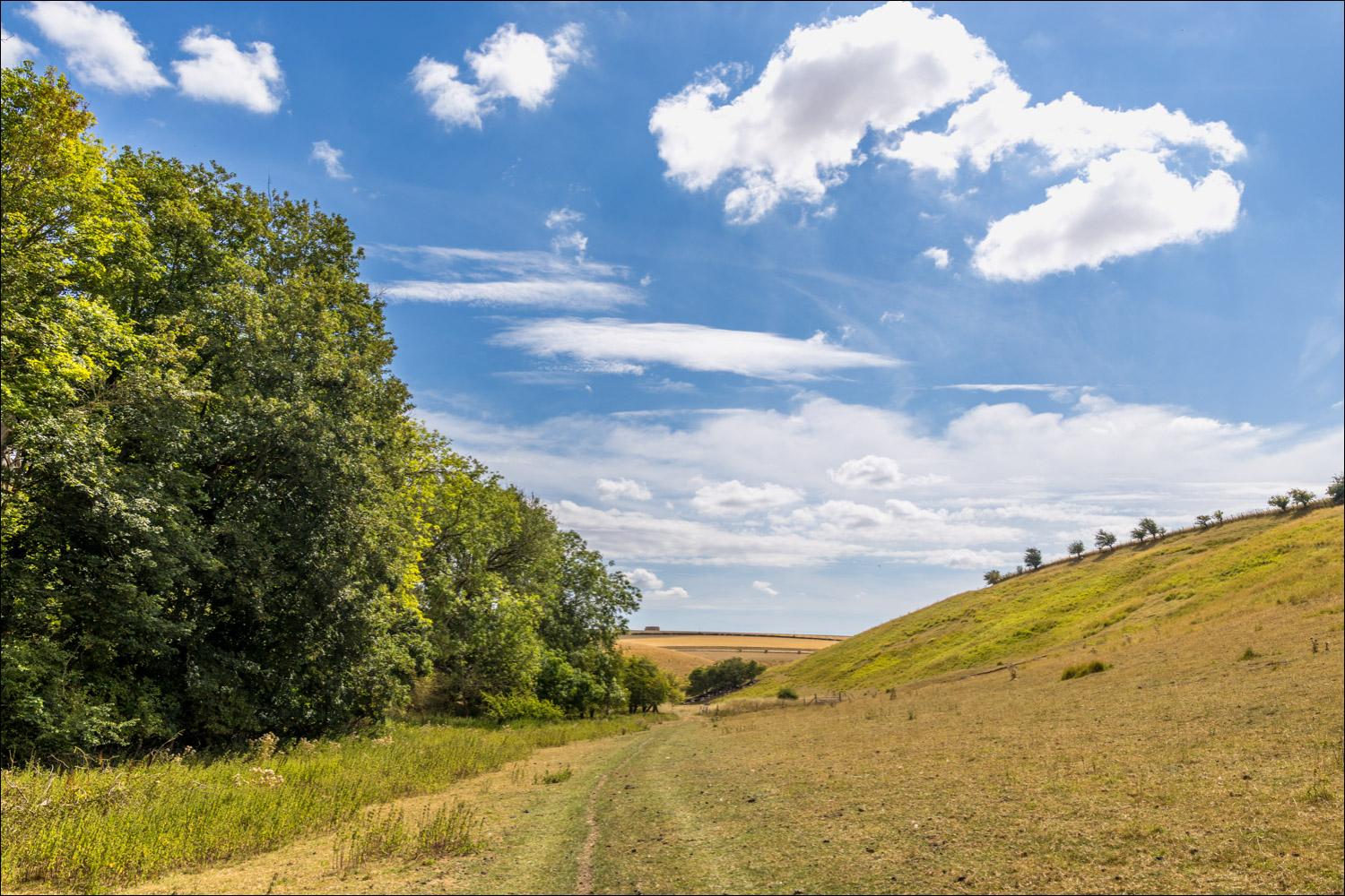
Continuing with the walk, we descended beside Well Dale Plantation into one of the dry valleys of the Yorkshire Wolds, Cowlam Well Dale. After almost 2 months of drought the valley was even drier than usual and the scorched grass must have been meagre pickings for the resident sheep. At the end of the dale we reached a crossroads of intersecting valleys and turned left along Cottam Well Dale, climbing up at the end of it to reach the medieval village of Cottam. As it the case with its neighbour, Cowlam, there is very little evidence of the ancient settlement apart from some earthworks and cultivation terraces and the ruined Holy Trinity church. This dates back to 1890 and was built to serve the population of outlying farms and is believed to have been built on the ruins of the Norman church. The church has been fenced off for safety reasons and the public footpath diverted slightly, so that it’s no longer possible to inpect the ruins at close quarters
We then followed a track across the top of the wold, passing by Cottam Grange, before turning left to descend steeply into another dry valley, Phillip’s Slack. The short descent could be slippery when wet and it may be preferred to reverse the direction of travel in this event. A delightful walk along the valley brought us back to the crossroads of dales, and from here we retraced our steps by climbing gently back up to the start
For other walks here, visit my Find Walks page and enter the name in the ‘Search site’ box
Click on the icon below for the route map (subscribers to OS Maps can view detailed maps of the route, visualise it in aerial 3D, and download the GPX file. Non-subscribers will see a base map)

Scroll down – or click on any photo to enlarge it and you can then view as a slideshow
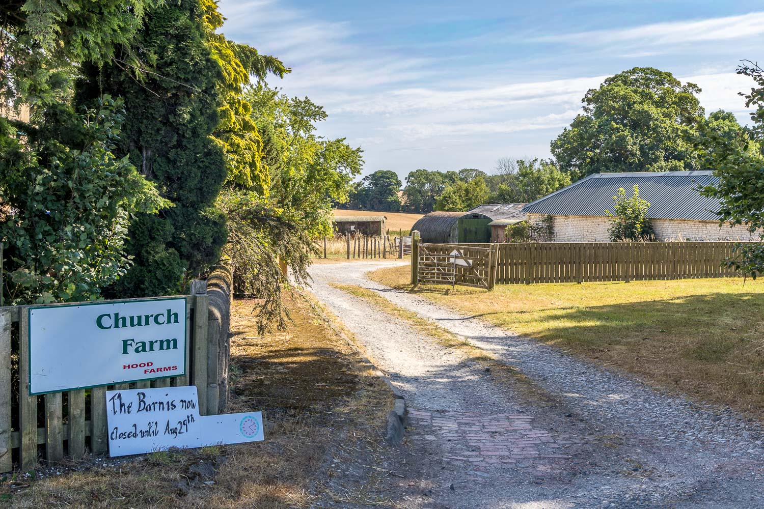
The start of the walk from the roadside next to Church Farm, Cowlam
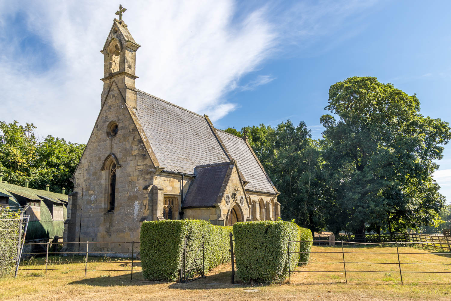
We divert to the adjacent St Mary's Church - a 'Sykes Church', one of many in this part of the Yorkshire Wolds to be restored by Sir Tatton Sykes during the mid 19th century
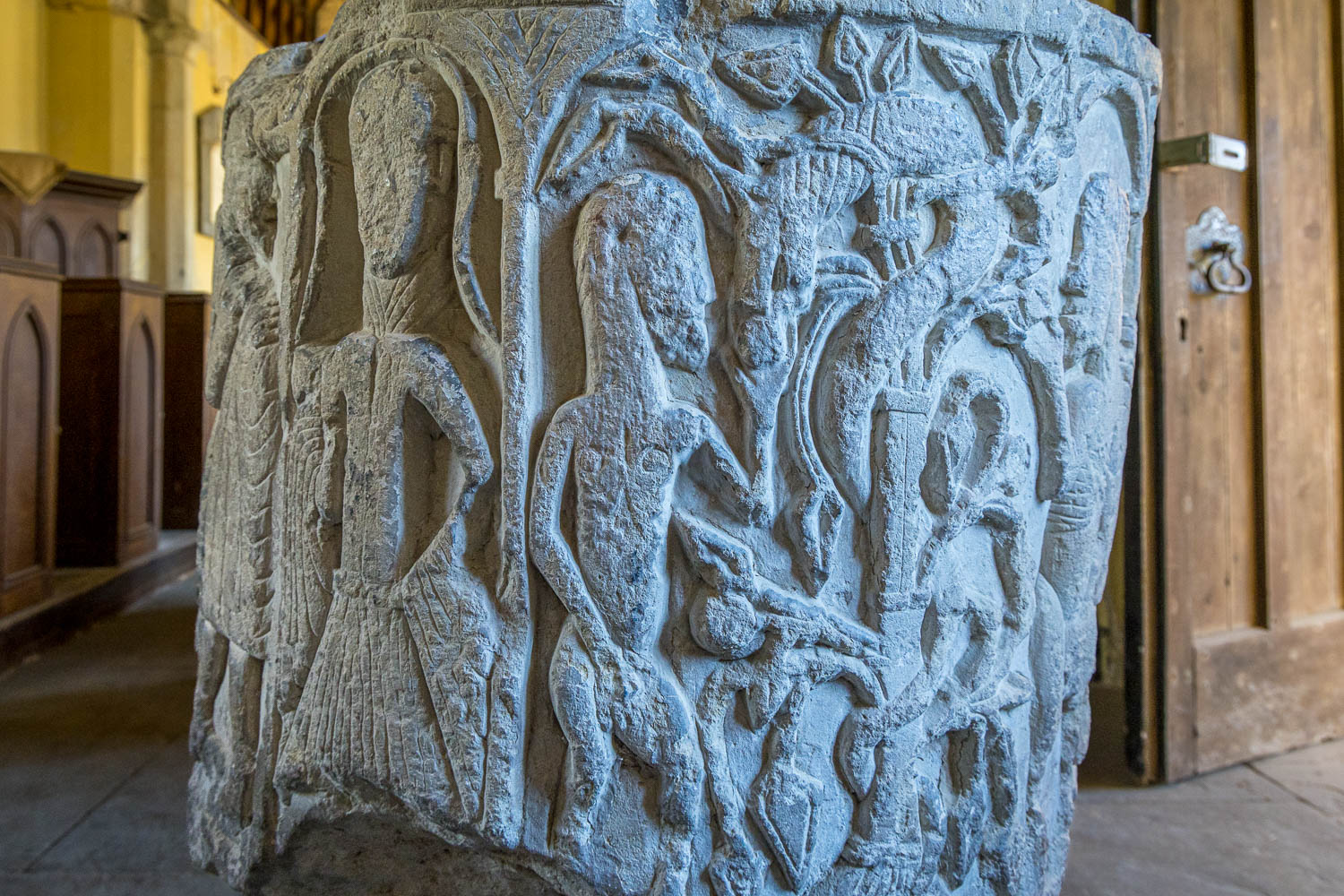
The Cowlam Font, dating back to 1135. The subject matters of the panels are varied and seemingly unrelated. This one depicts Eve and the Serpent
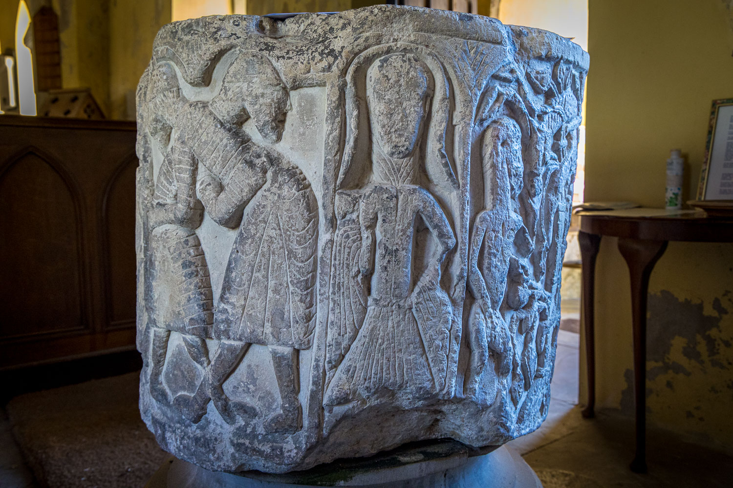
The Wrestlers
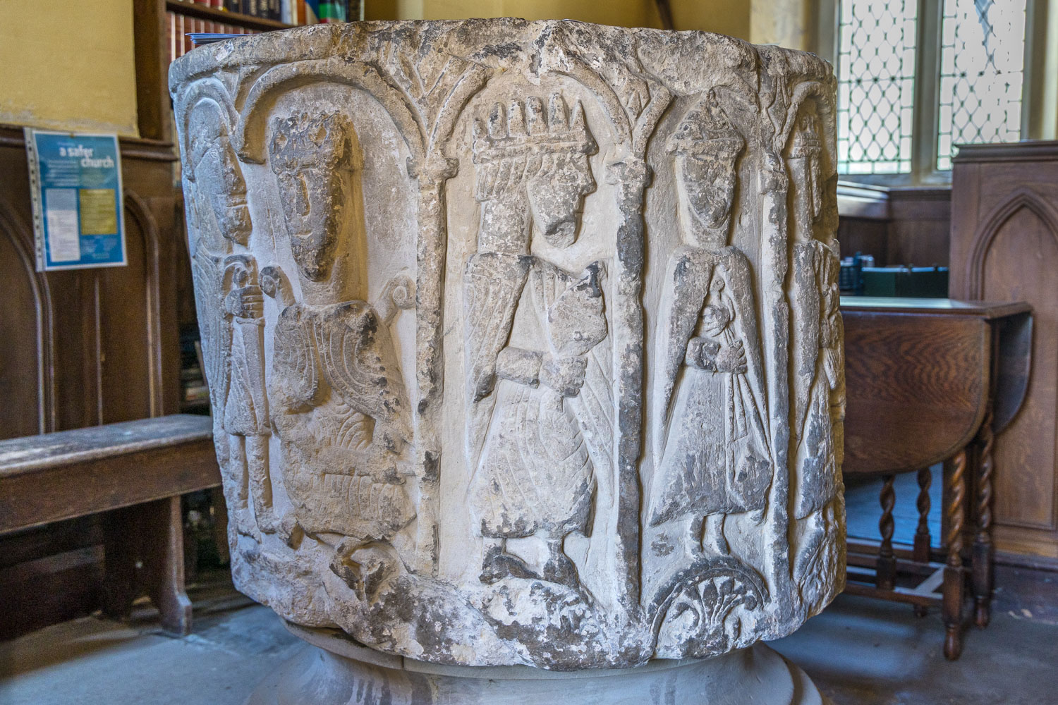
Adoration of the Magi
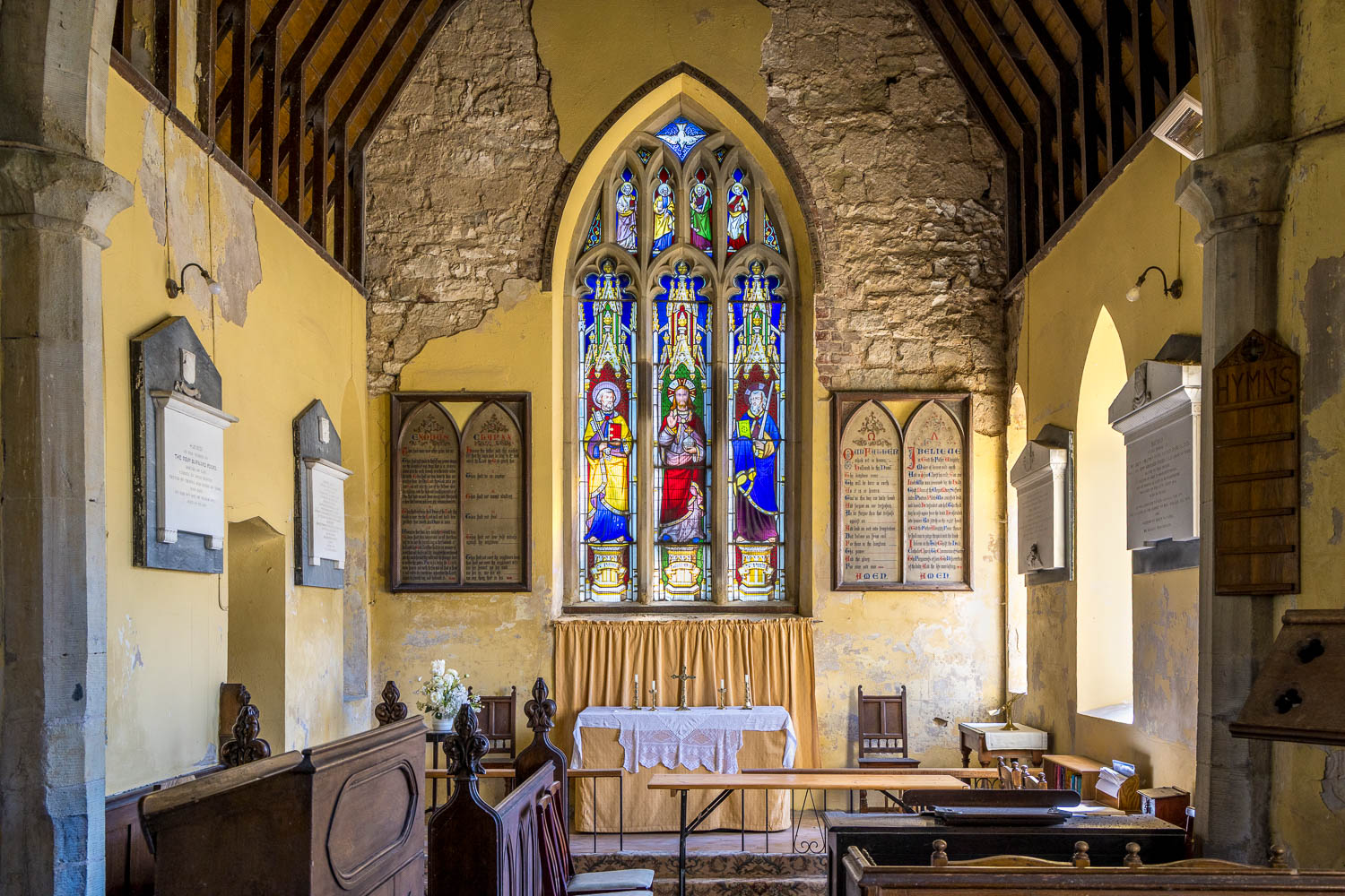
Interior of the small church, a unique place well worth preserving, follow the link in the introduction to contribute to its survival
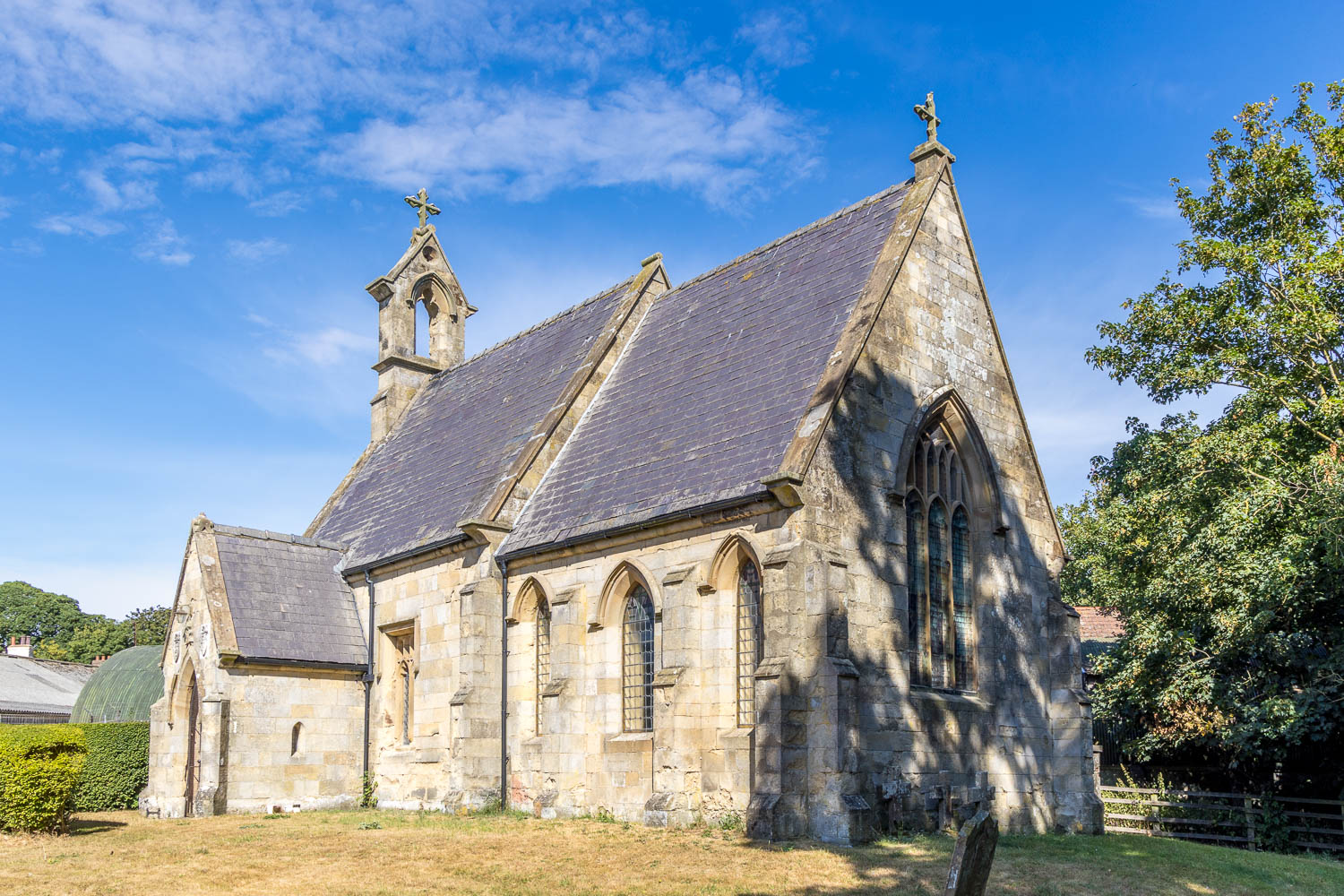
We leave the church to resume our walk
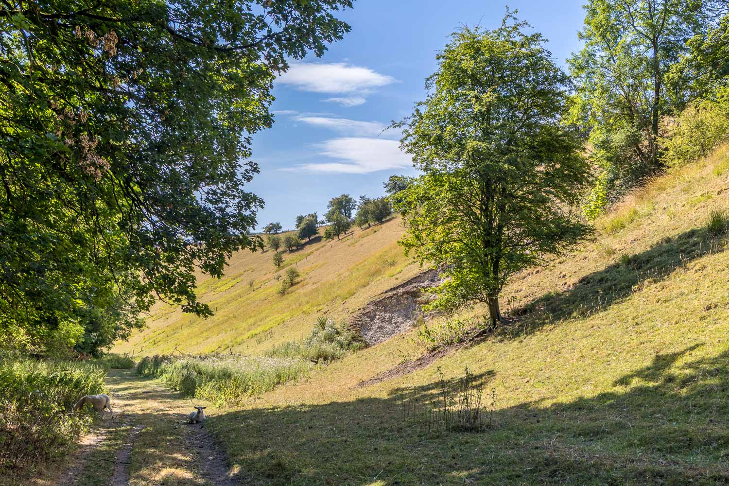
We descend into Cowlam Well Dale, with Well Dale Plantation on our left
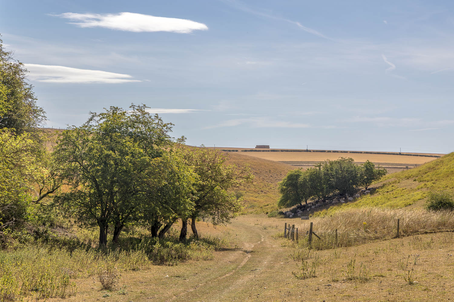
Approaching the end of Cowlam Well Dale, where we'll turn right
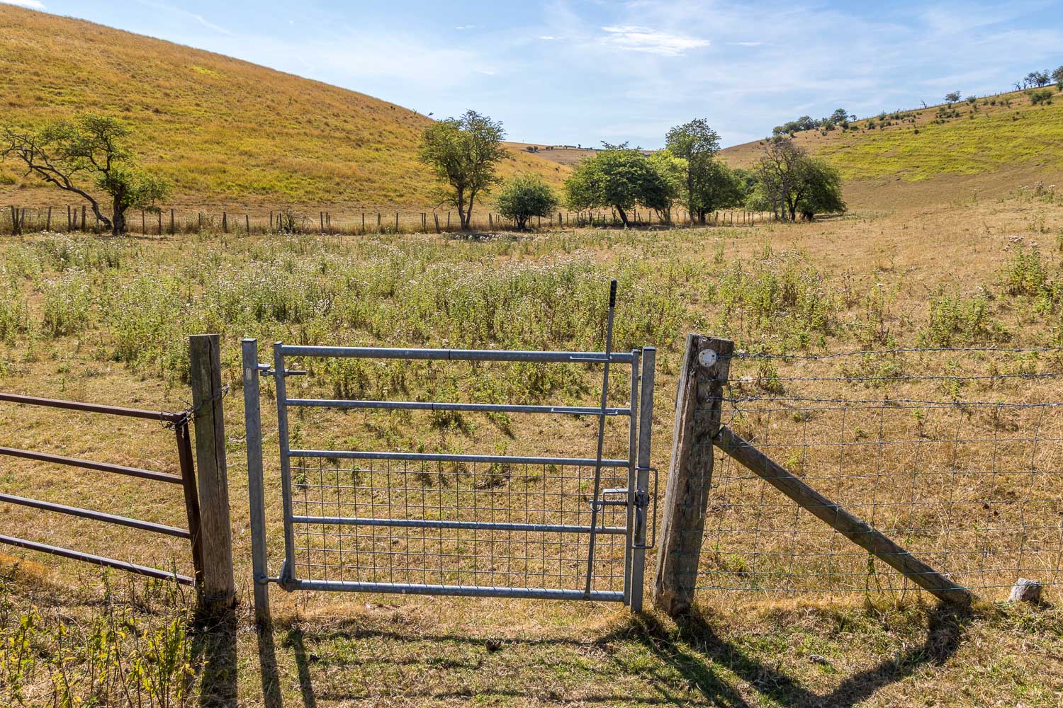
We follow the valley floor into the adjoining valley of Cottam Well Dale
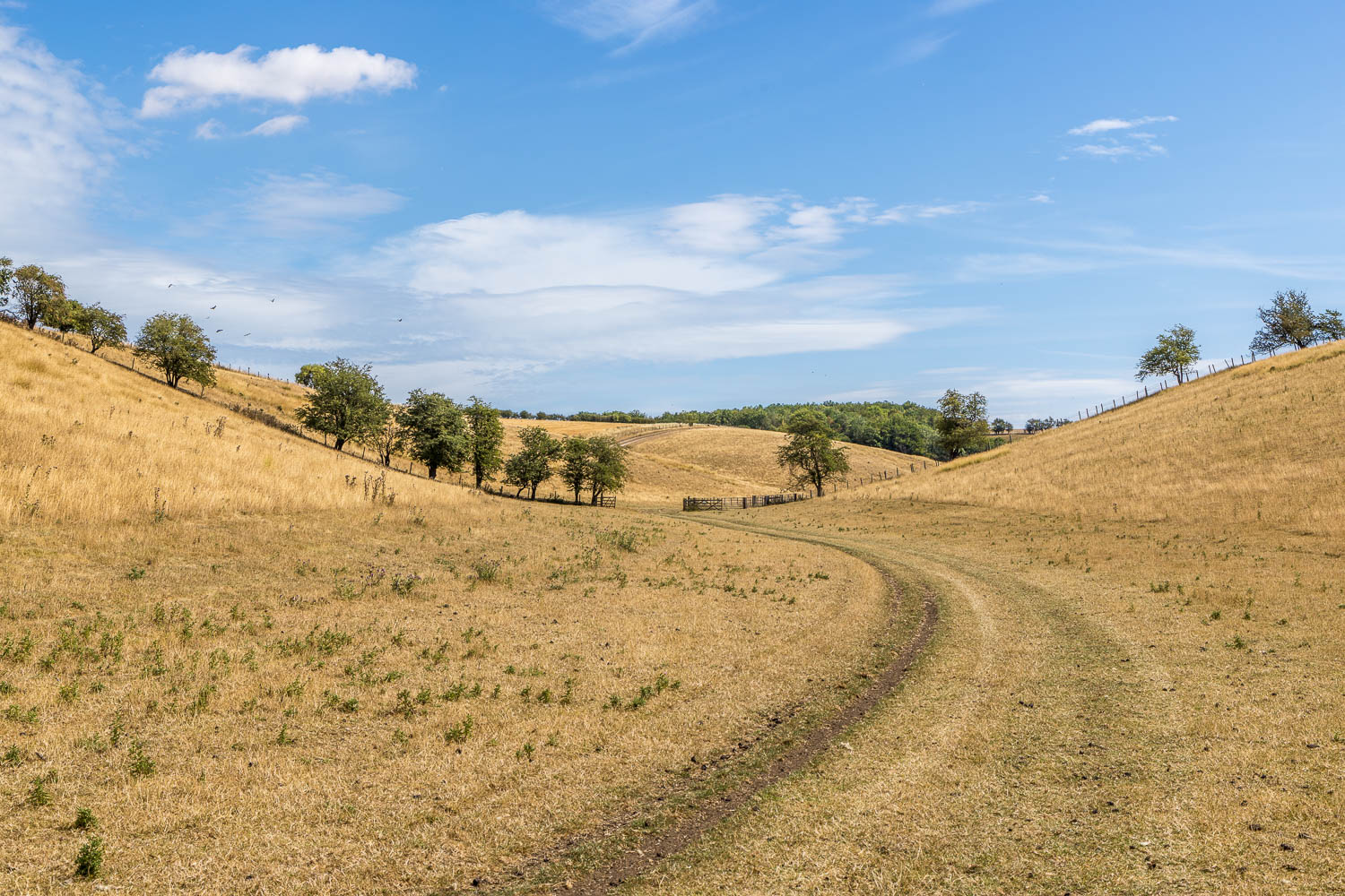
The dale would normally be green and verdant, but the ground is parched - there's been no rain for almost two months and it's around 25c today
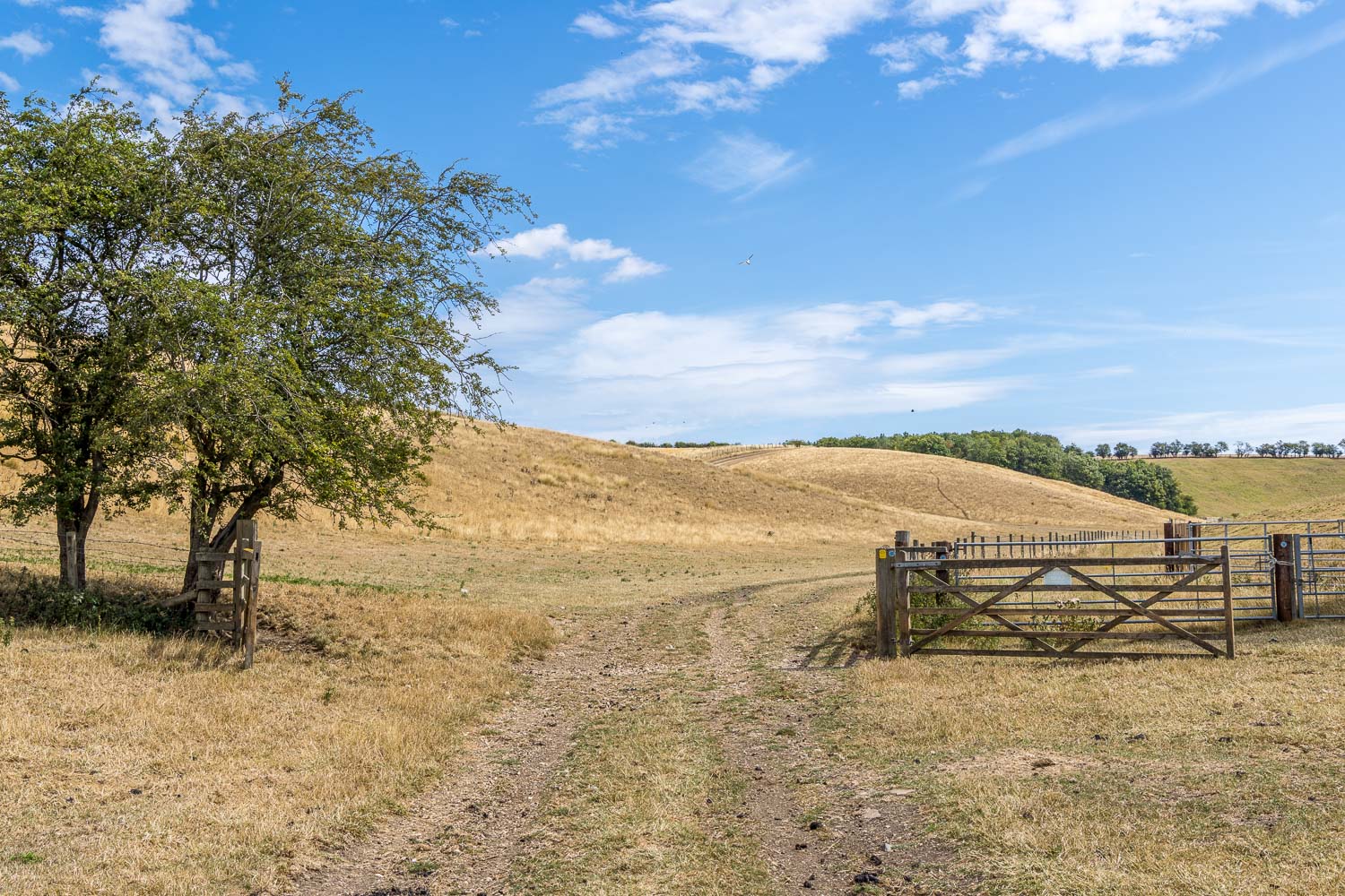
Further along Cottam Well Dale
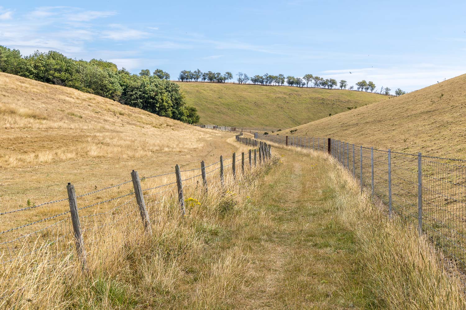
The public footpath runs between fences for a while
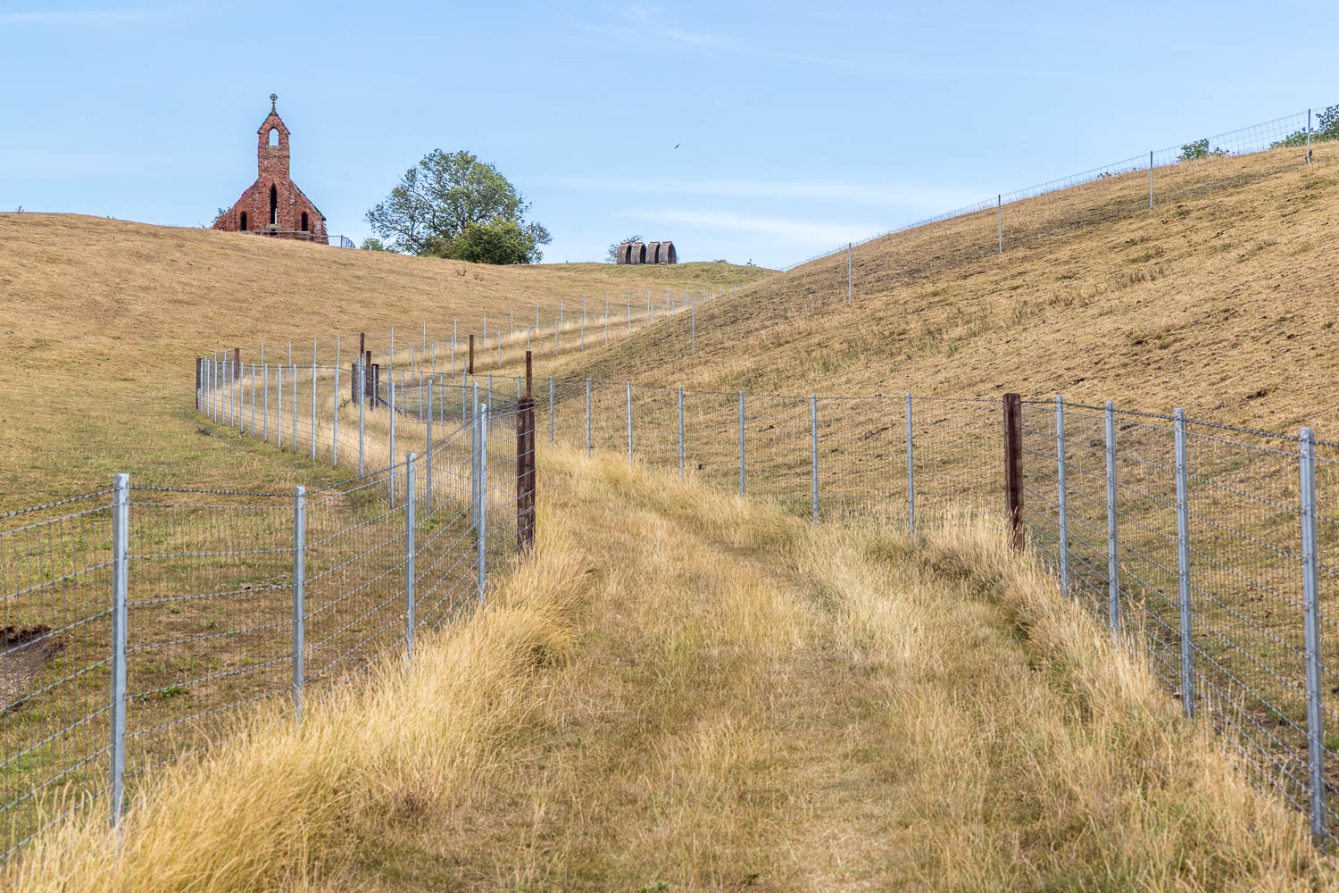
Holy Trinity Church Cottam comes into view
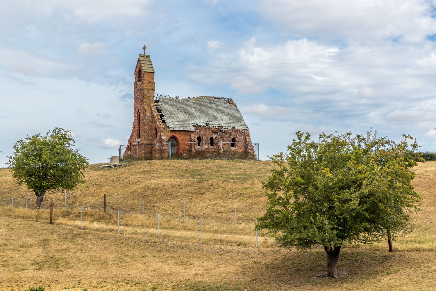
Sadly the church is now derelict. It's no longer possible to access the church and we follow a path between the fences below it
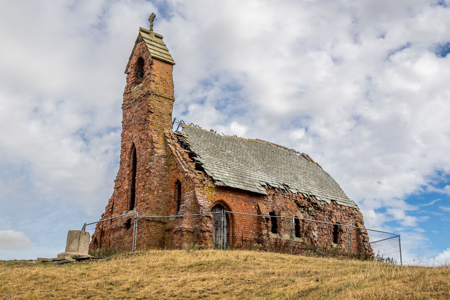
A sad but evocative scene as we pass by the derelict church
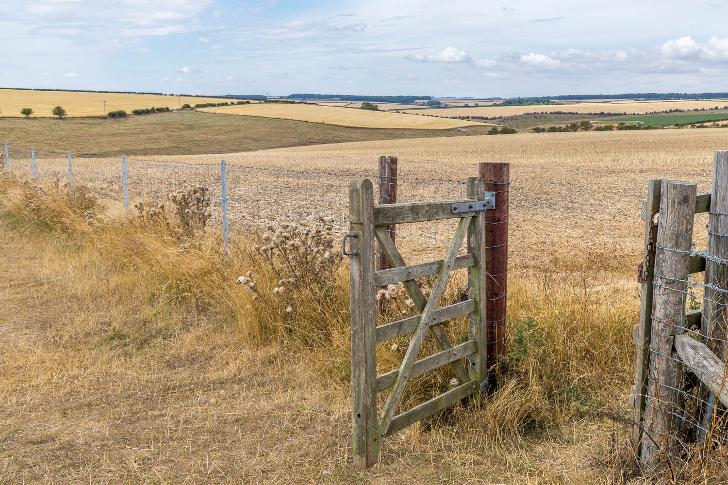
Beyond the church we arrive on Chapel Hill, which commands big views over the Yorkshire Wolds
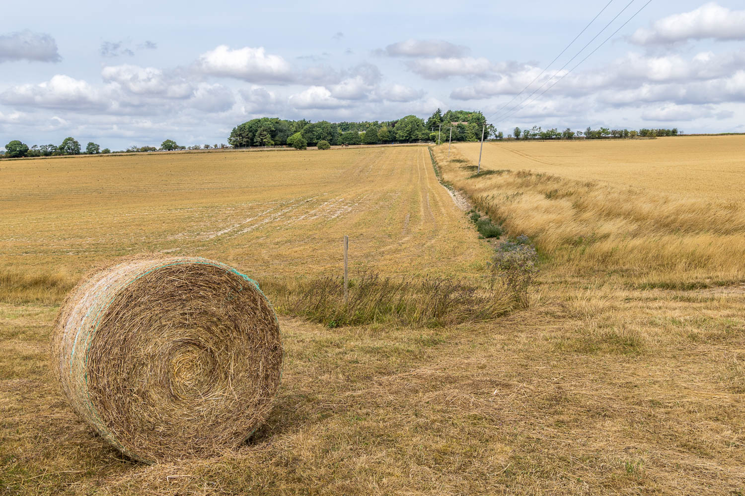
We head towards Cottam Grange, nestled in the trees ahead
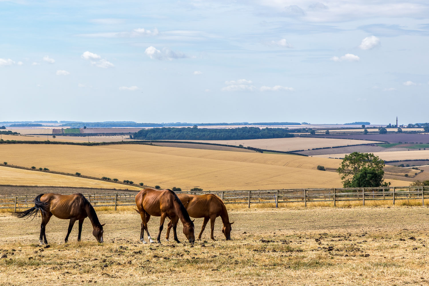
Looking towards Sledmere, with the Tatton Sykes Monument, in the distance, right of picture
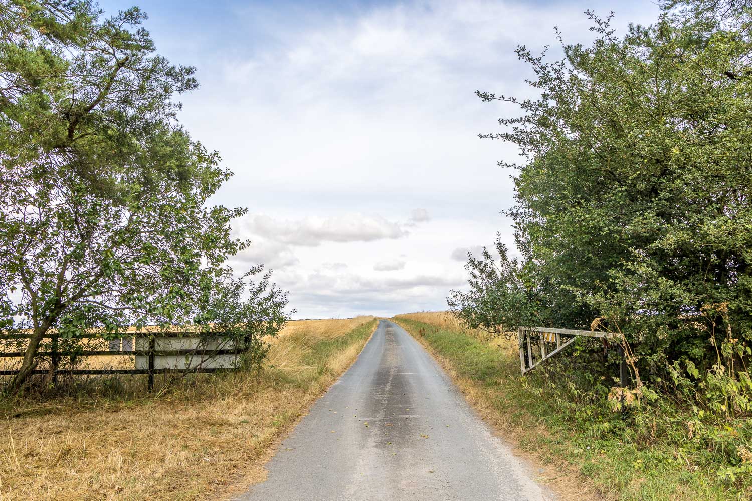
Beyond Cottam Grange we follow the lane over the top of the wold
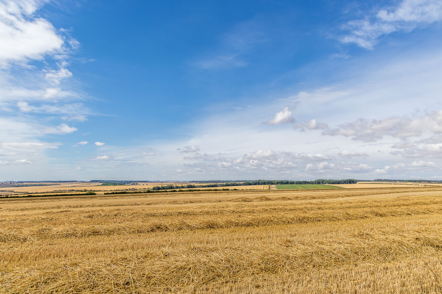
Big views over the East Yorkshire Wolds on our left
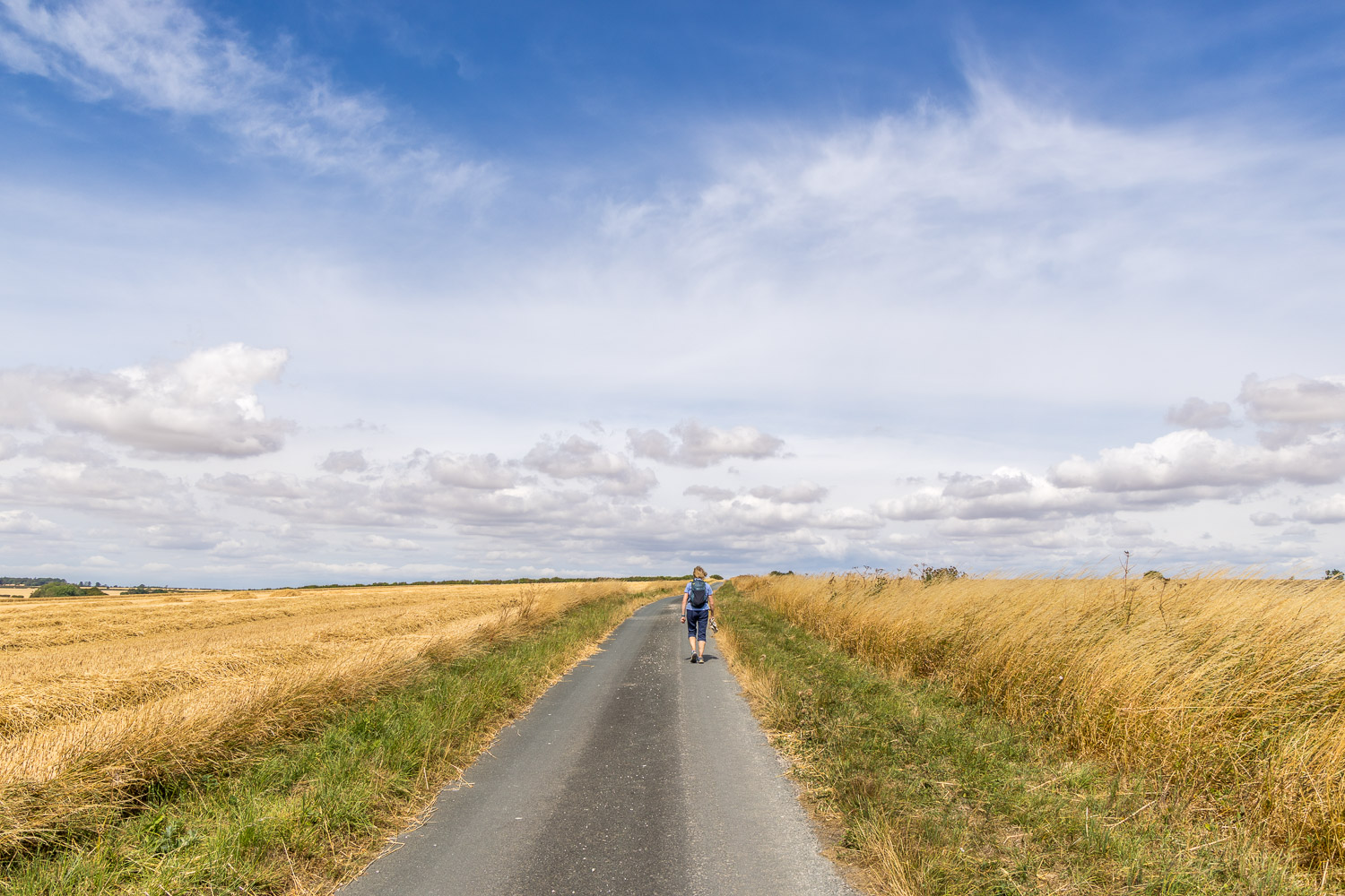
We continue along the lane before turning sharp left just ahead
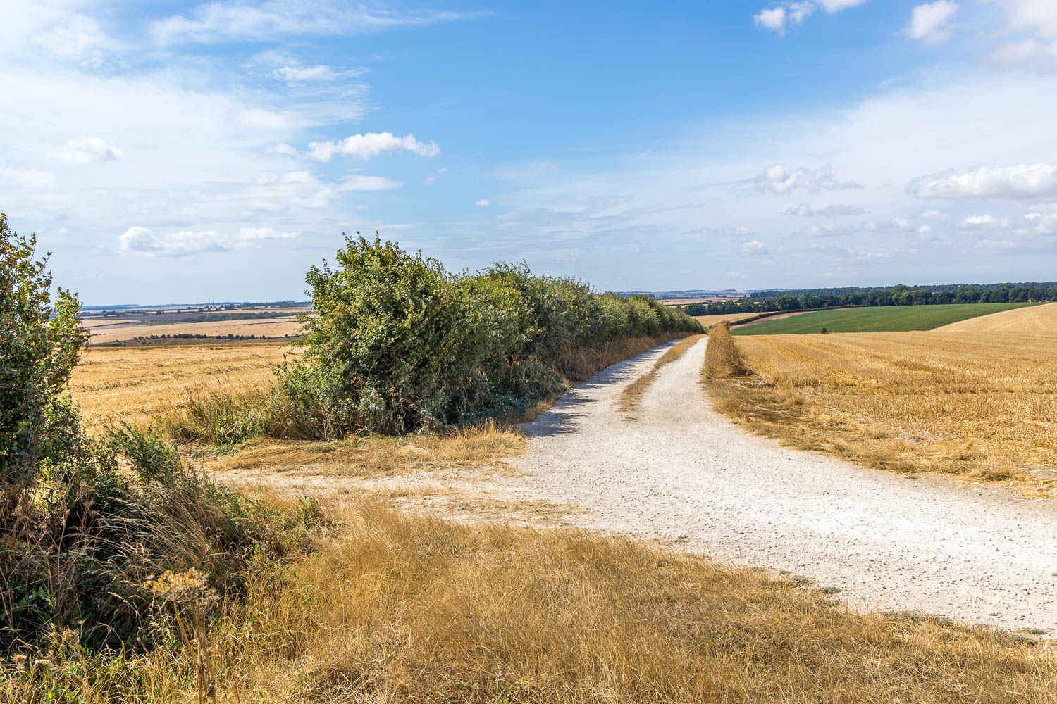
We leave the lane and follow a chalk track gently downhill
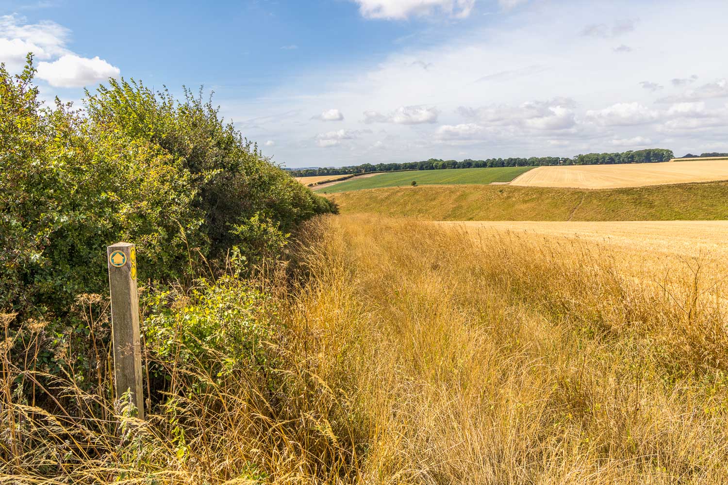
The track ends, but we carry straight ahead following the waymarked sign
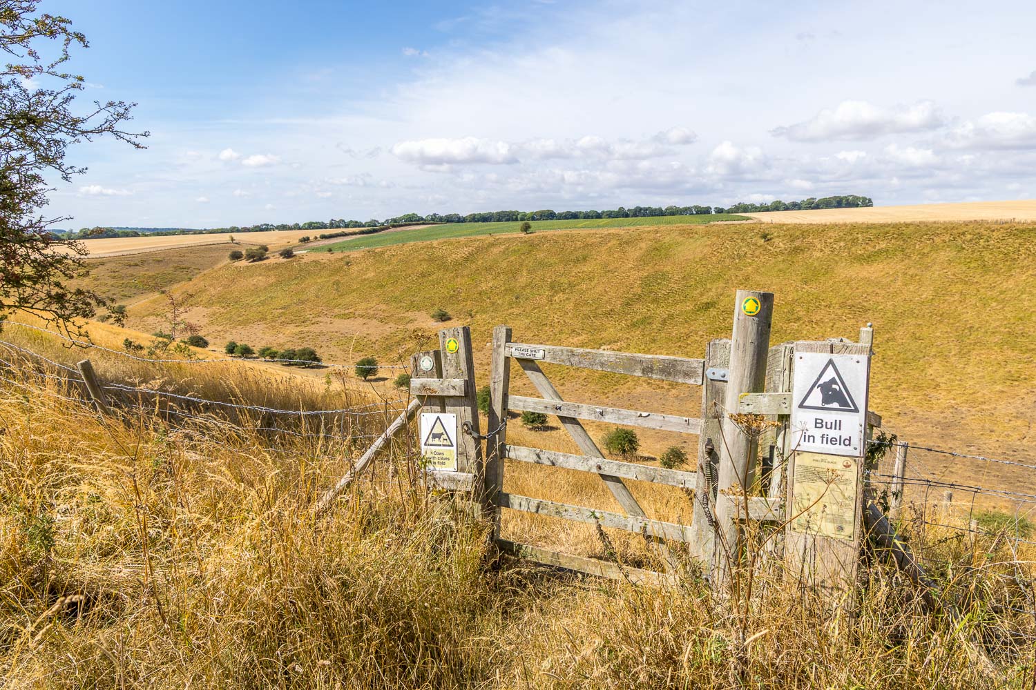
We arrive above another dry valley, Phillip's Slack. The sign, one of several such warnings, may be accurate once in a while, but it wasn't today
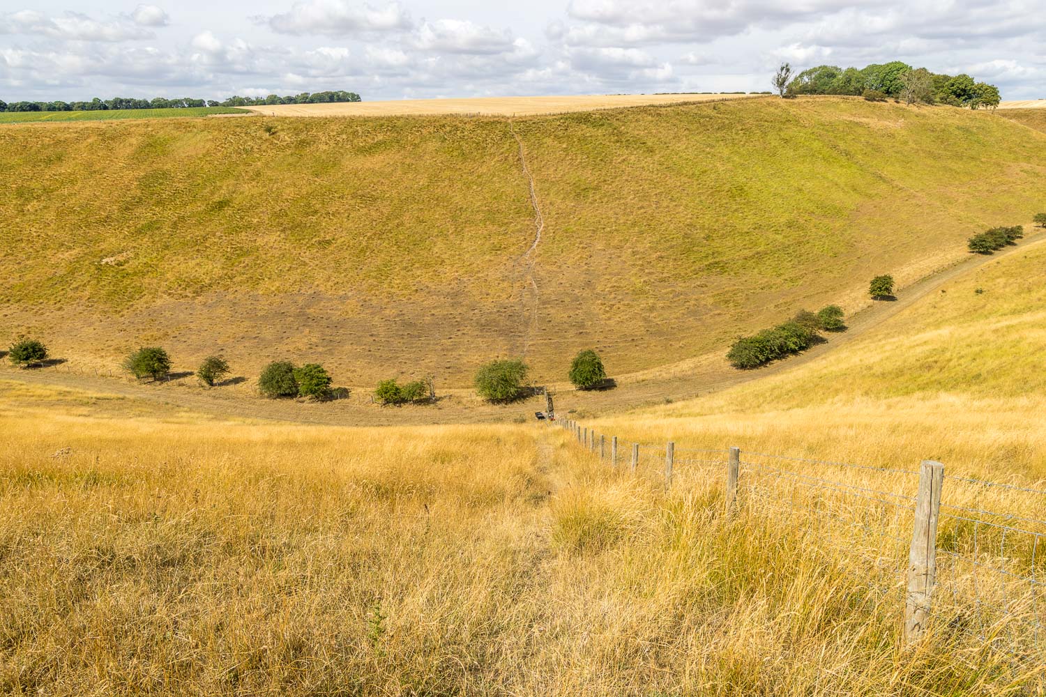
We descend quite steeply into Phillip's Slack
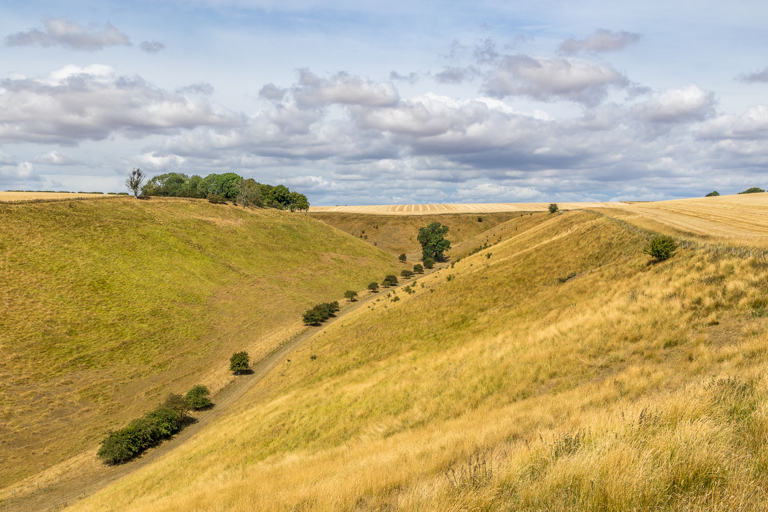
Phillip's Slack below
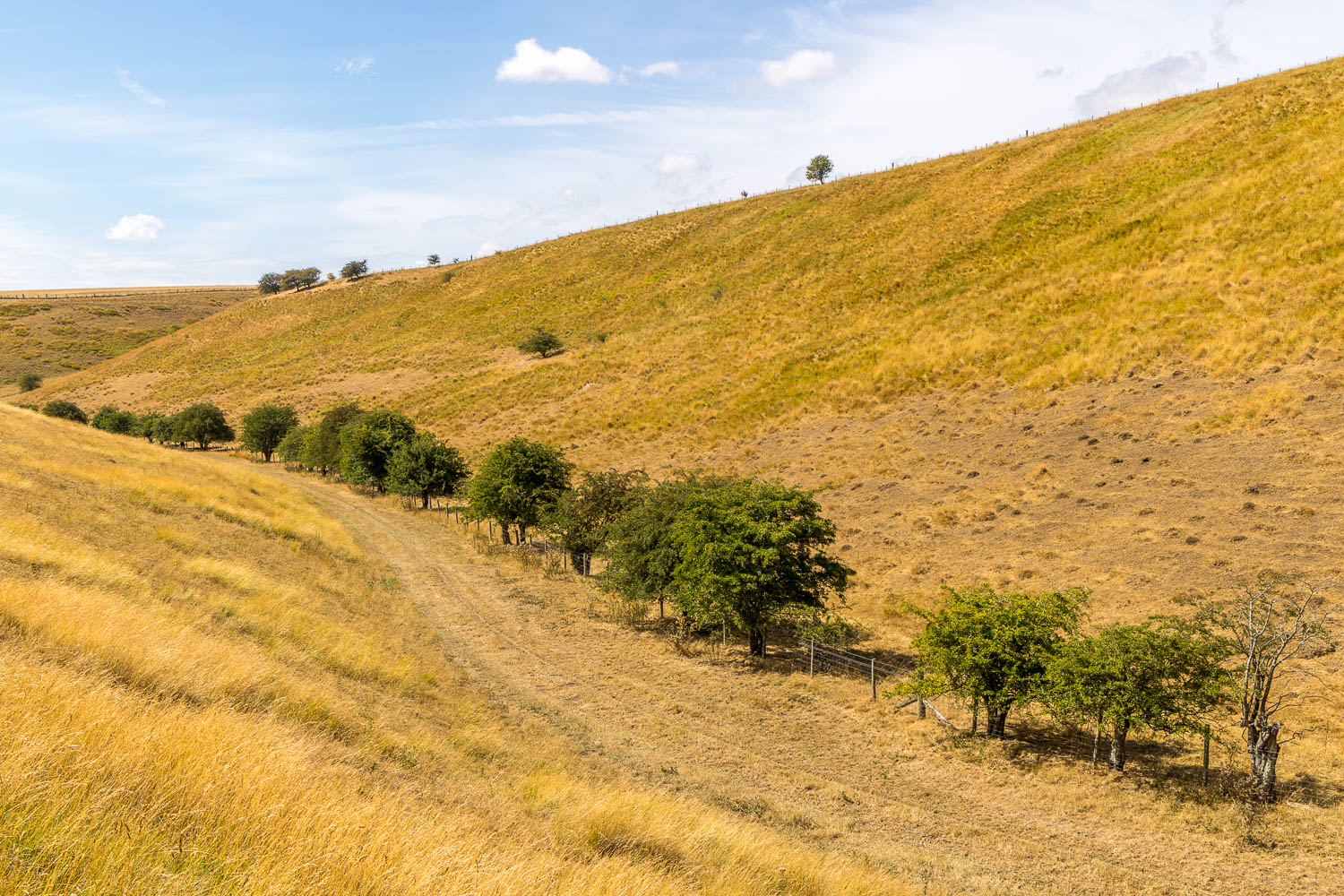
On reaching the valley floor we turn left along Phillip's Slack
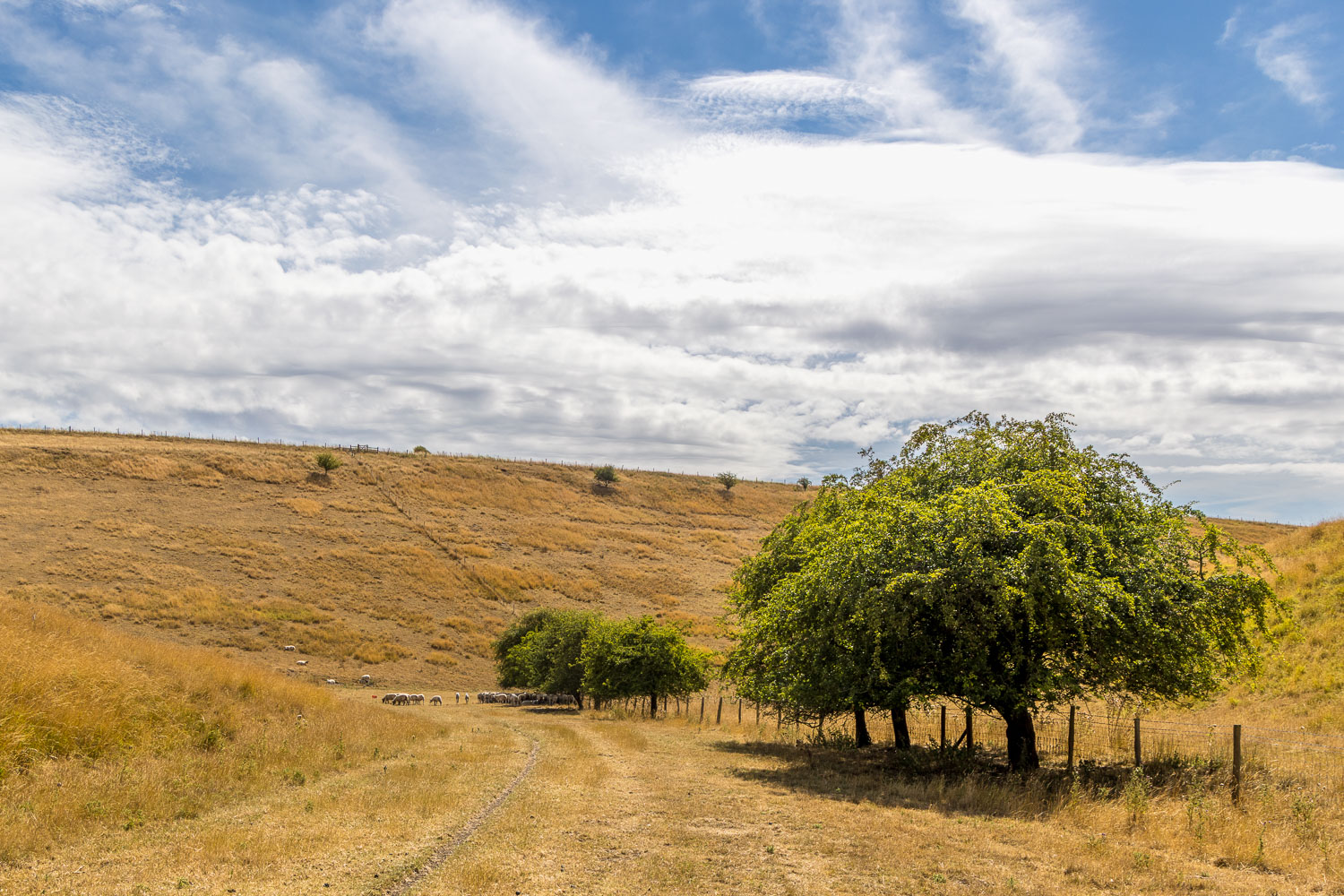
Further along Phillip's Slack
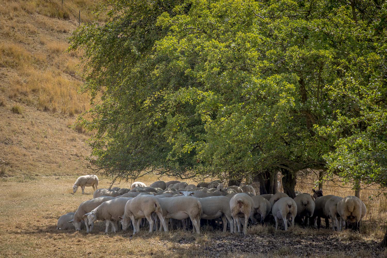
Sheep sheltering from the boiling hot sun
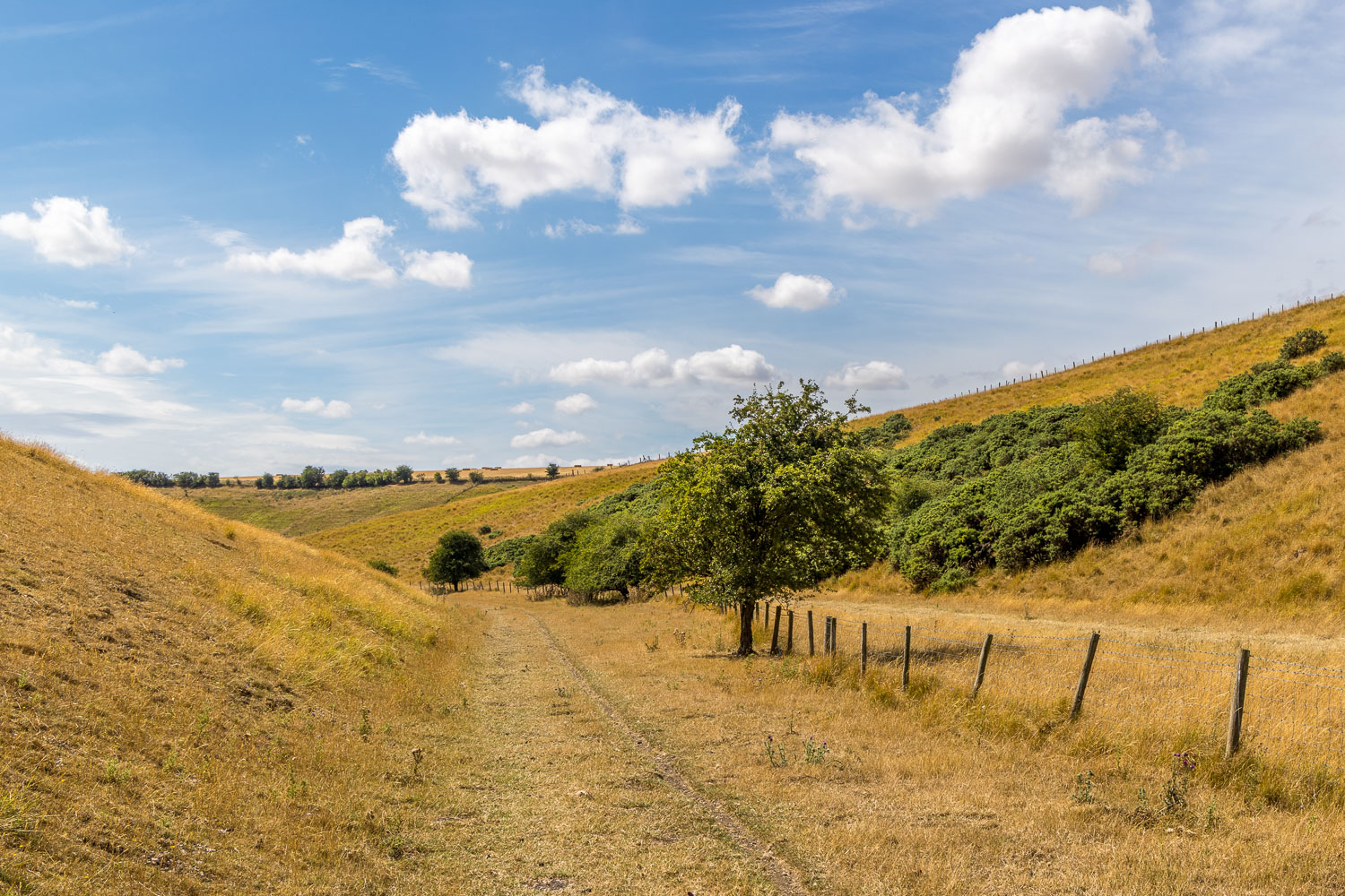
We continue along the dry valley
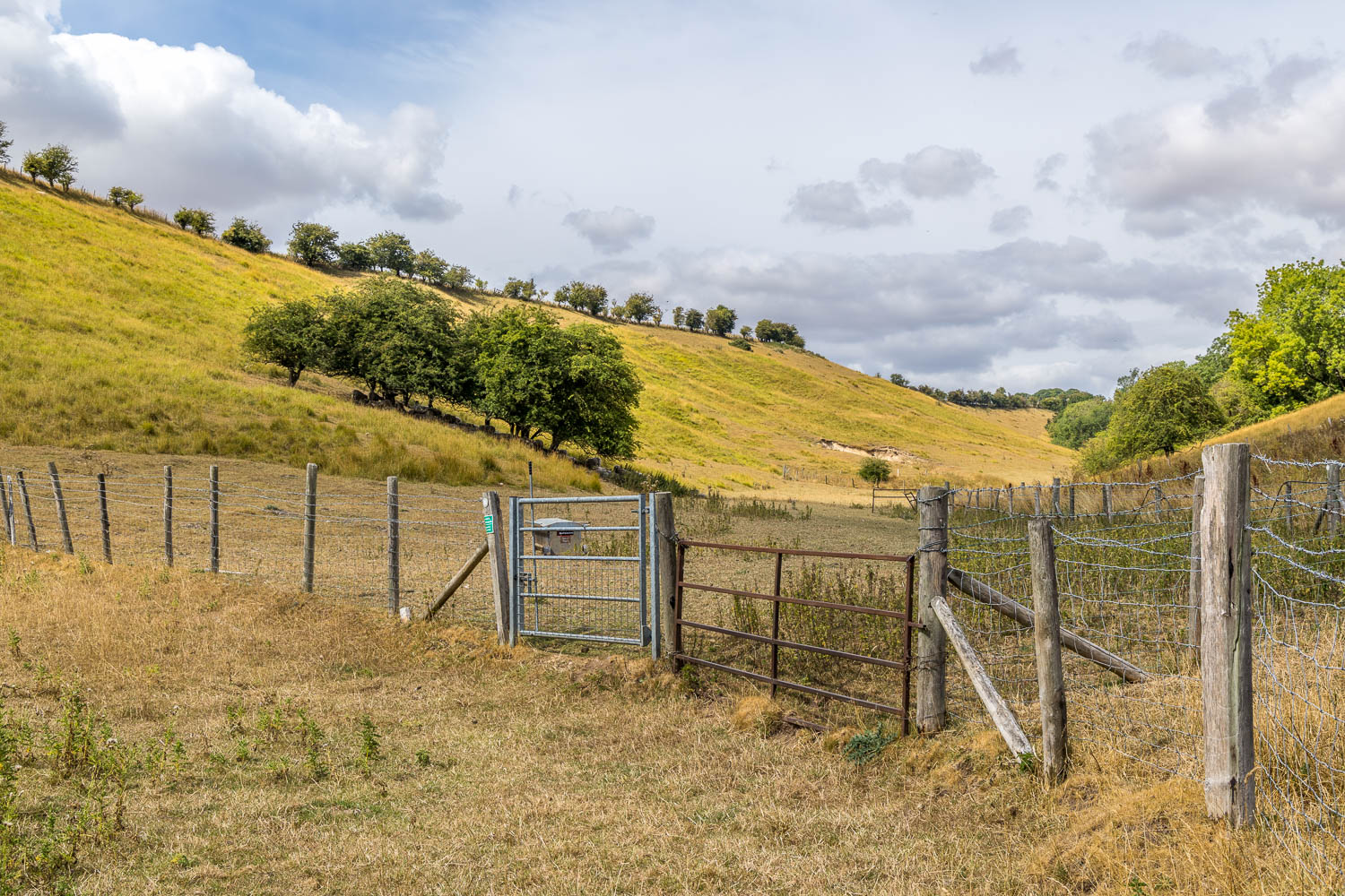
We arrive back at the crossroads of dales and head back into Cowlam Well Dale
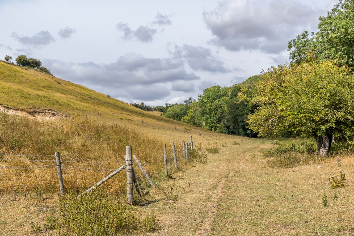
We climb back up Cowlam Well Dale, easier said than done in roasting temperatures
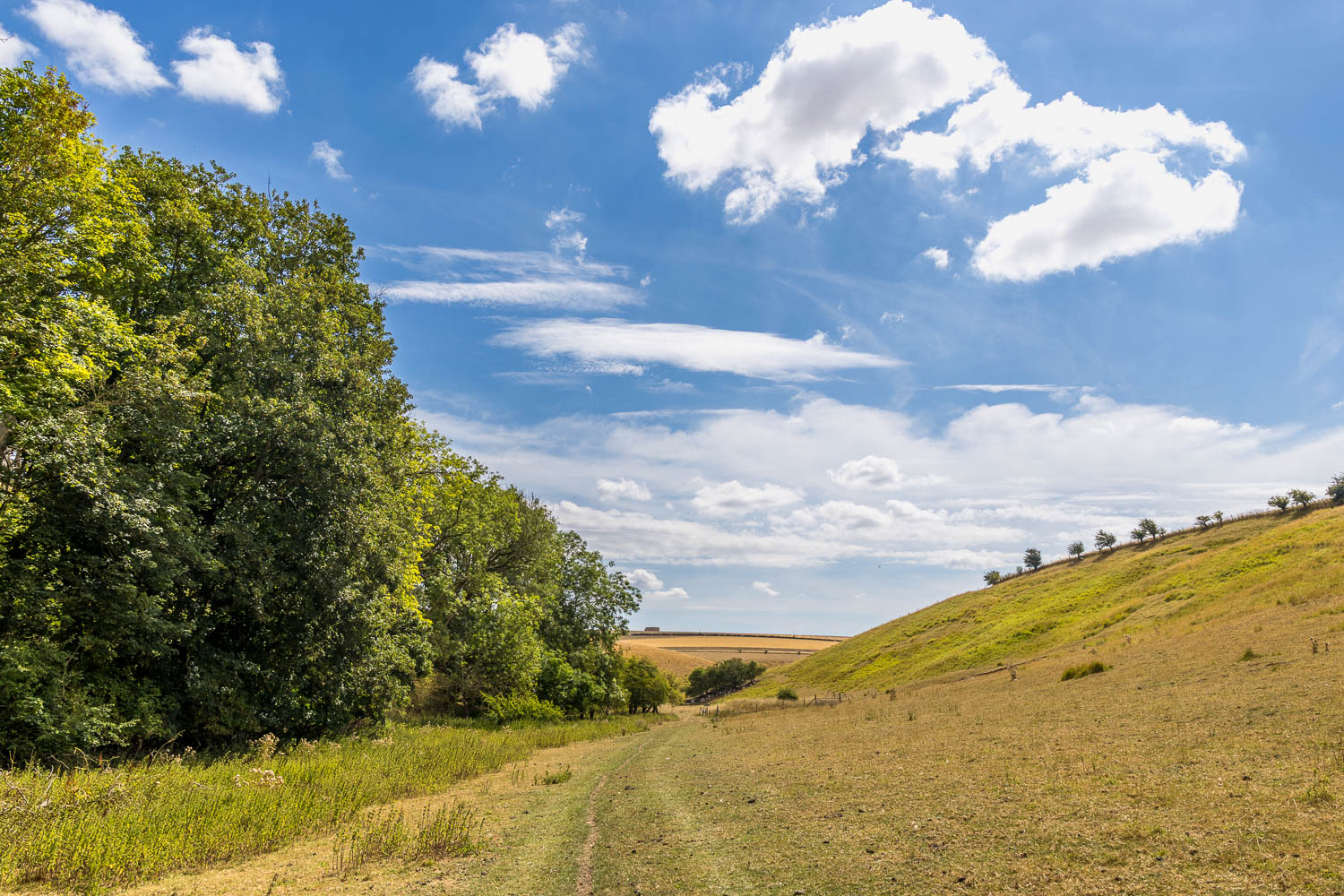
A final look back along Cowlam Well Dale as we approach the end of the circuit
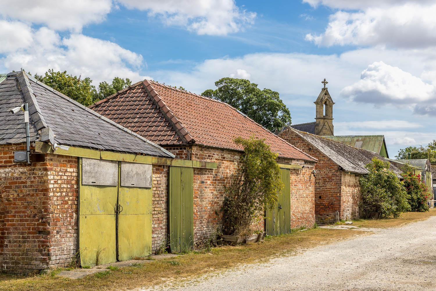
Th end of the walk as we arrive back at Church Farm Cowlam, looking across to St Mary's Church