Route: Great Crag and Watendlath
Area: Central Lake District
Date of walk: 24th August 2026
Walkers: Andrew
Distance: 6.0 miles
Ascent: 1,600 feet
Weather: Sunny and very warm
Great Crag is one of my favourite fell walks, especially in August when the heather is in bloom. Combined with a visit to the remote hamlet of Watendlath, this makes for a perfect walk in the Borrowdale area
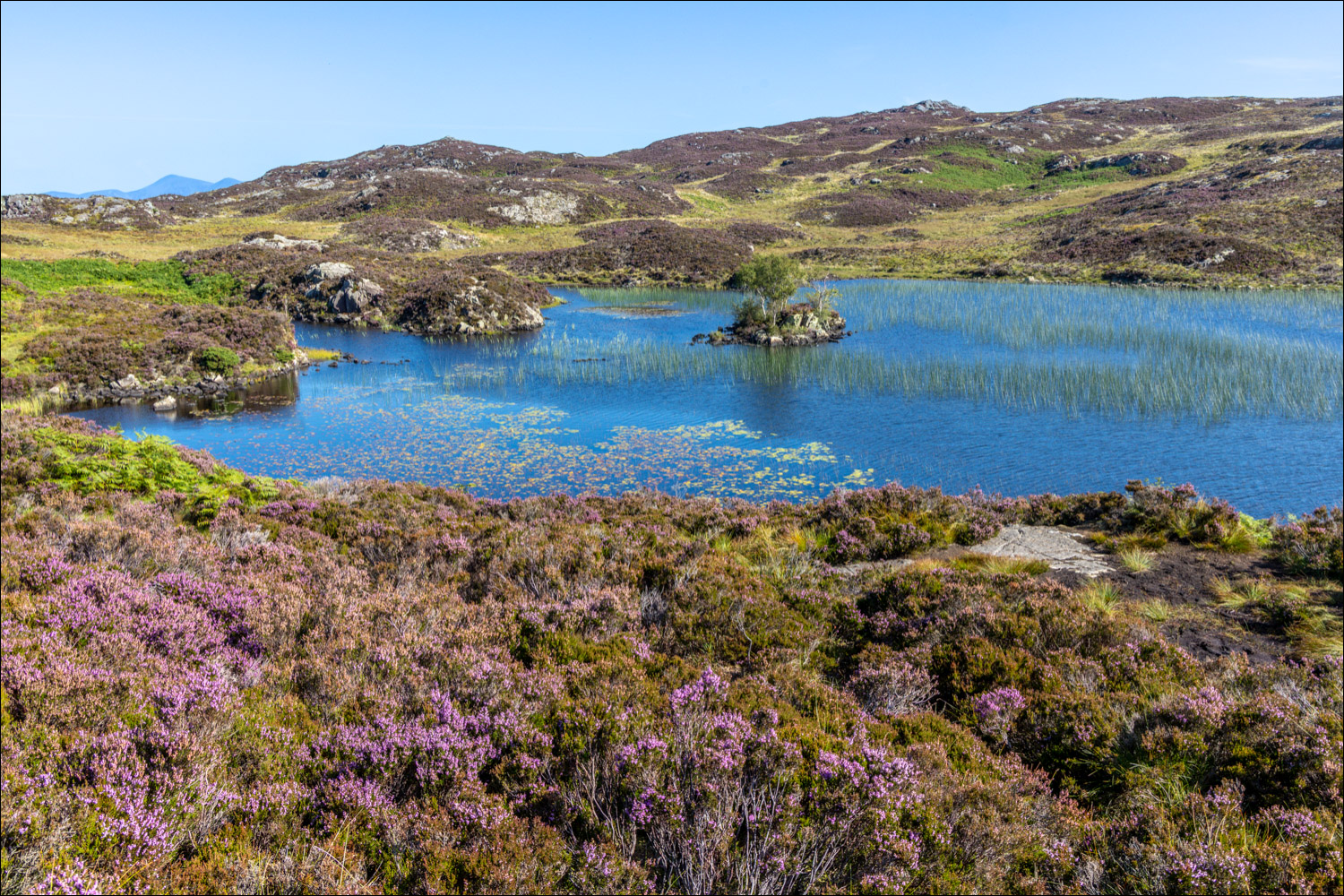
I parked by the roadside before the village of Stonethwaite. Parking in the village itself is now restricted to residents. I crossed Stonethwaite Beck via Stonethwaite Bridge, turning right immediately to join the Cumbria Way for a short distance. This path is also part of the long distance Coast to Coast walk. On reaching a circular sheepfold I left the Cumbria Way to join a path heading uphill which follows the course of splendidly named Willygrass Gill. The initial section was through woodland, giving some shade from a swelteringly hot sun. It’s a steep climb, but the addition of rock steps makes the ascent a straightforward affair. Once above the tree line I followed a rough path to the summit area of Great Crag, where Dock Tarn lies below numerous rocky outcrops. The tarn, set like a jewel among the lumps and bumps of the fell, is one of the highlights of the walk. As Wainwright says, ‘Dock Tarn is a place to lie adreaming, and life seems a sweet sweet thing’
Great Crag is a complicated place, full of ups and downs, and determining the summit and the path to it is not a simple affair. There are numerous small paths, some of which peter out. I didn’t visit the highest point today, but the route map does so and will guide you to the very top if that’s your aim
I then descended to Watendlath, crossing some remote and quite bleak terrain. Watendlath is both a tarn and a remote hamlet in the ownership of the National Trust. Refuelled by a pot of tea and a cheese and tomato sandwich at the friendly Caffle House Tearooms, I followed the path to Puddingstone Bank, which involves an initial climb, followed by a descent into Borrowdale, with glorious views of the valley along the way. The path merges with the Cumbria Way again and from here it was a short stroll beside Stonethwaite Beck back into Stonethwaite, and the end of a superb walk
For other walks here, visit my Find Walks page and enter the name in the ‘Search site’ box
Click on the icon below for the route map (subscribers to OS Maps can view detailed maps of the route, visualise it in aerial 3D, and download the GPX file. Non-subscribers will see a base map)

Scroll down – or click on any photo to enlarge it and you can then view as a slideshow
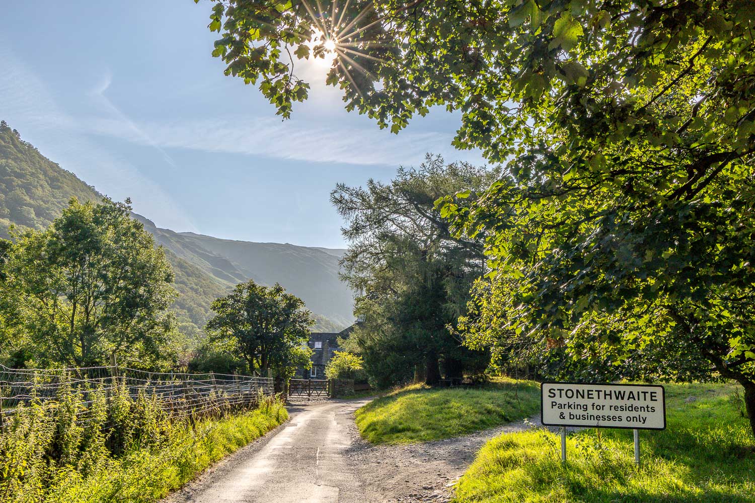
I walk into Stonethwaite from the nearby roadside parking spaces. The village was once an old dairy farm and, following a legal dispute, was confiscated in 1304 by King Edward, who sold it to the monks of Fountains Abbey for 40 shillings
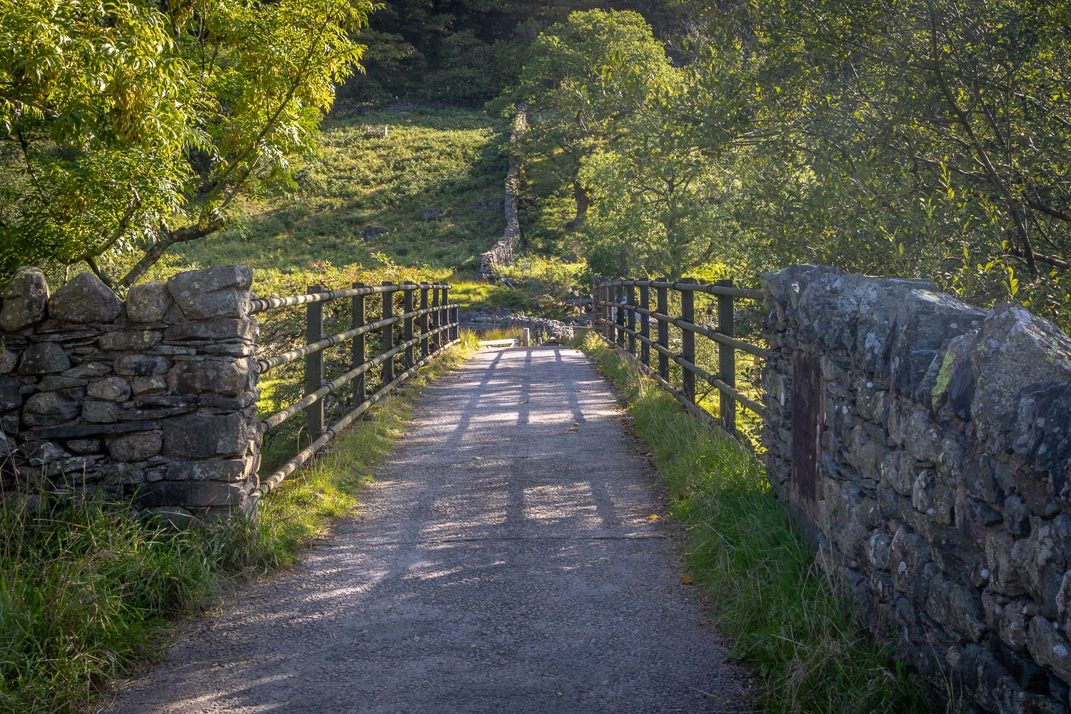
I cross Stonethwaite Bridge and turn right to join the Cumbria Way
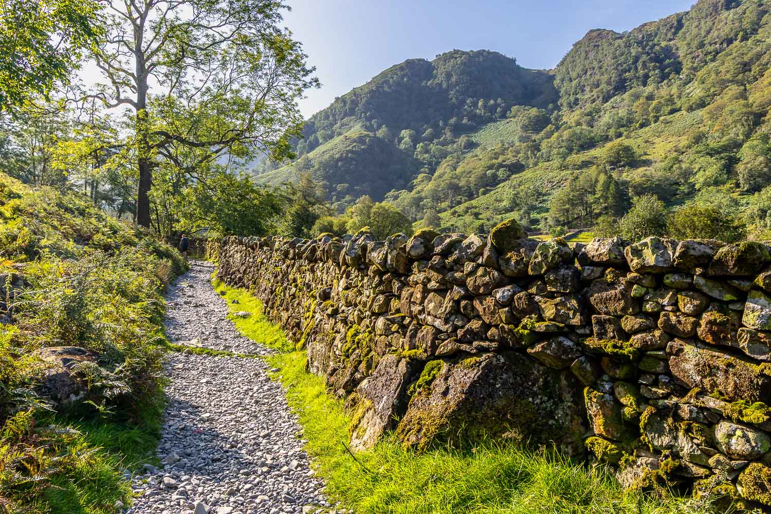
Bull Crag and Alisongrass Crag ahead
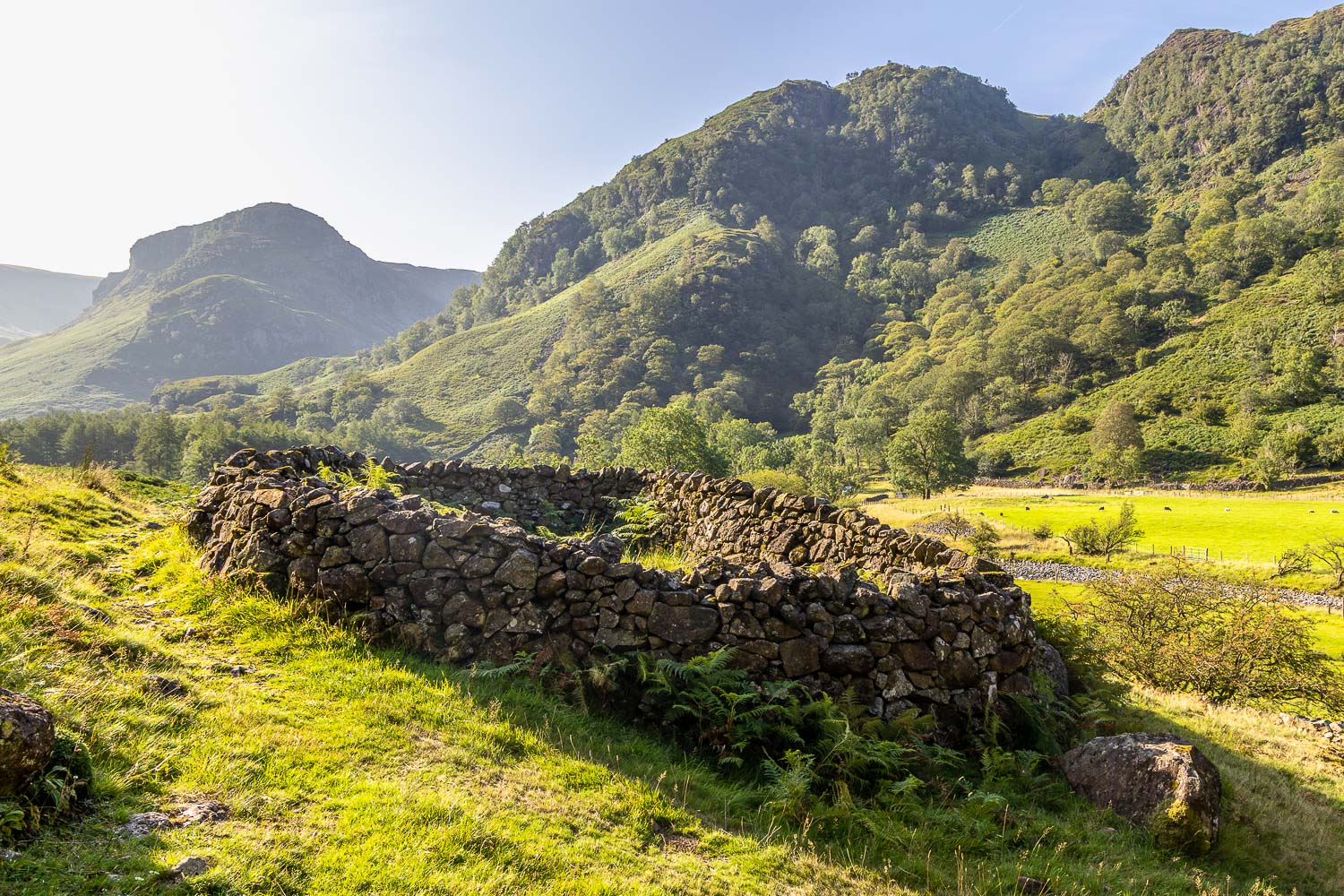
After a short distance I leave the main path to start the climb uphill. The junction is easily missed and is adjacent to this old sheepfold
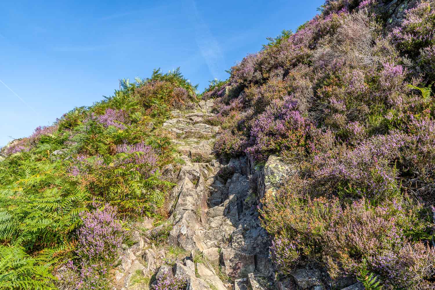
After a stiff climb up rocky steps through woodland, I emerge onto open fellside at Lingy End
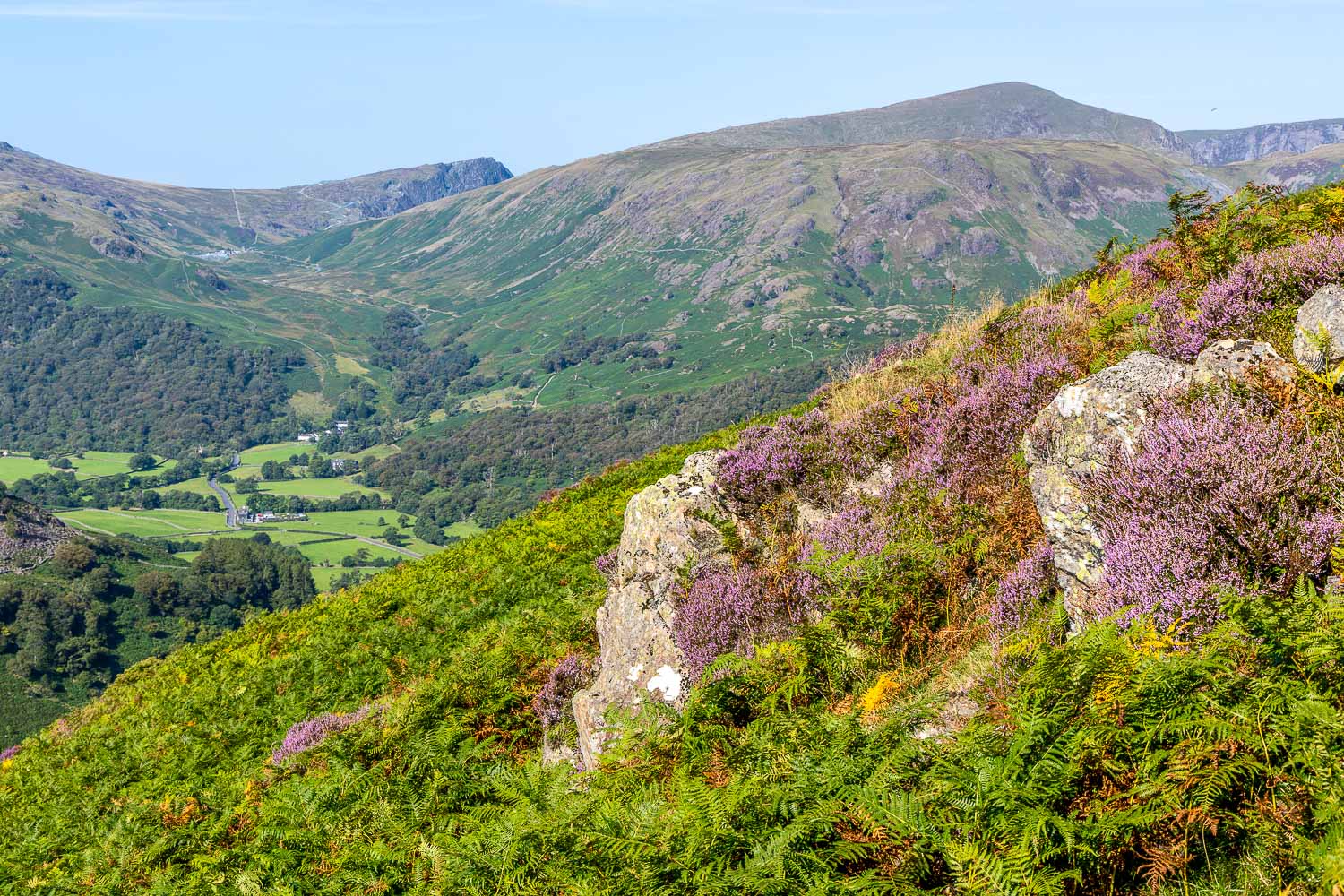
Looking back to Borrowdale and the Honister Pass
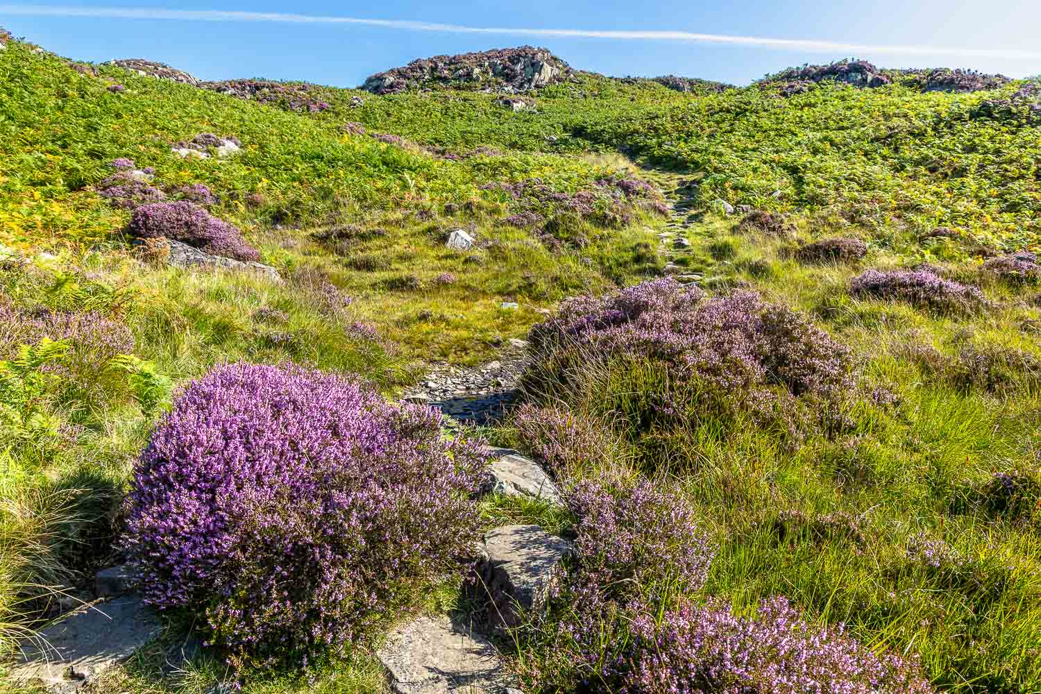
I follow a rough path across the heather clad fellside
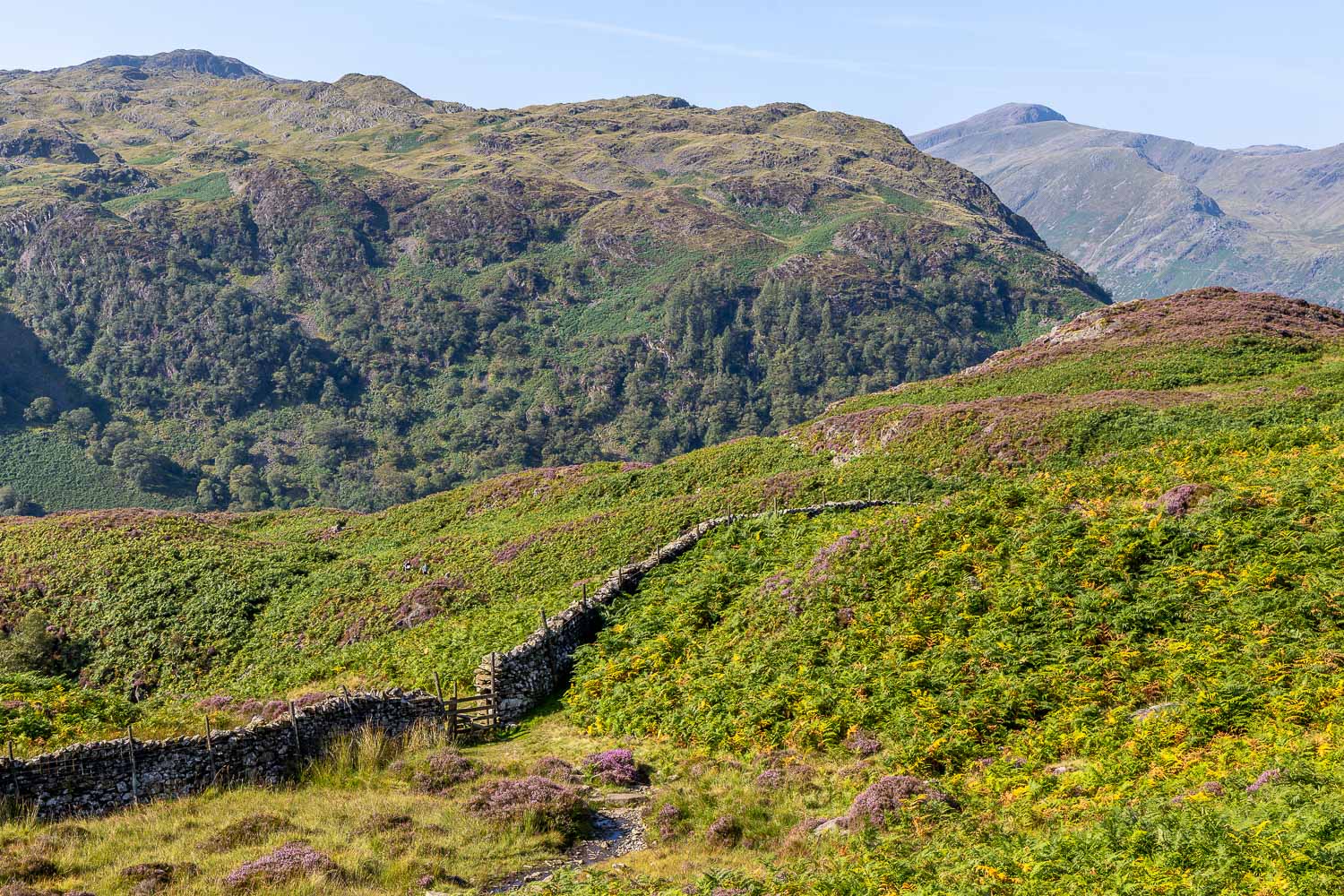
Rosthwaite Fell, as I look back along the path
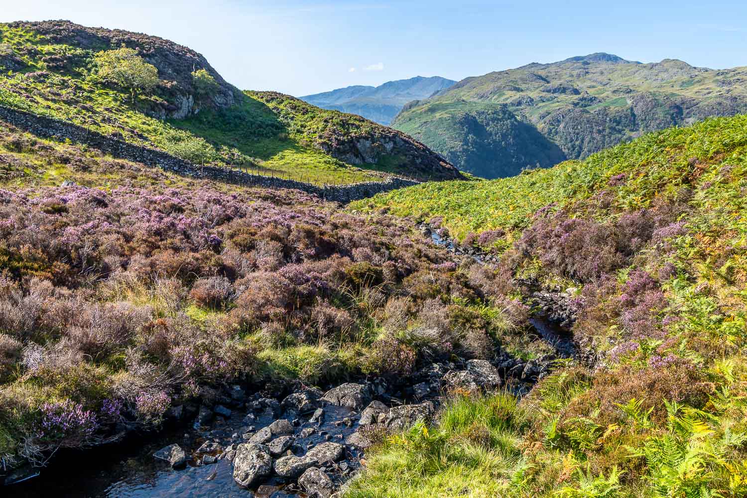
Willygrass Gill, which is never far from the ascent route
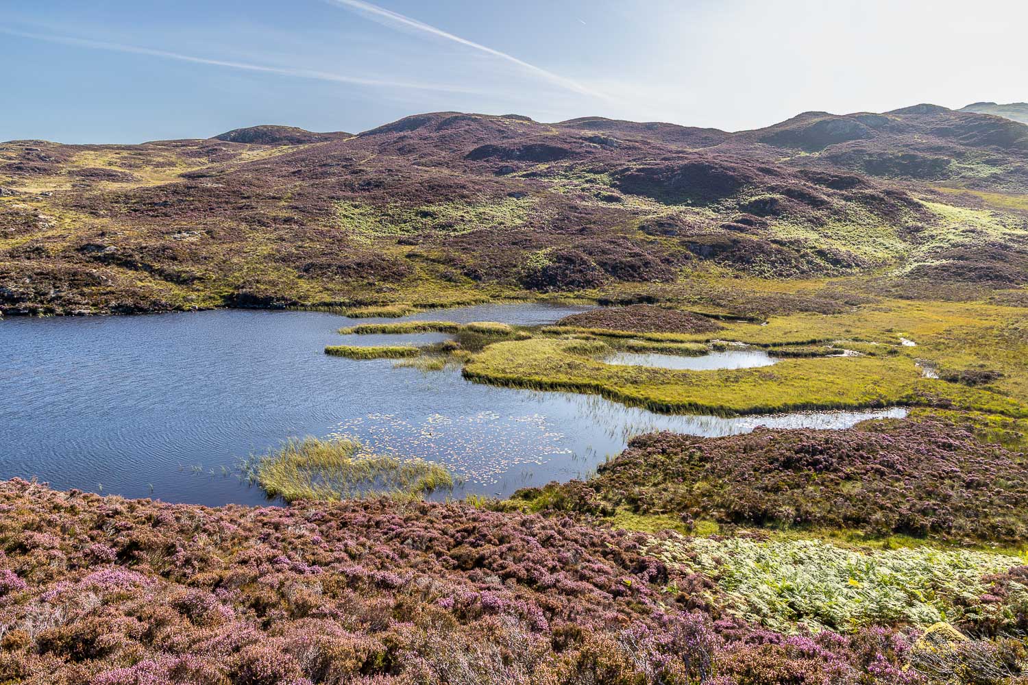
Dock Tarn, a heavenly spot, famously described by Alfred Wainwright as 'a jewel deserving a sweeter name'
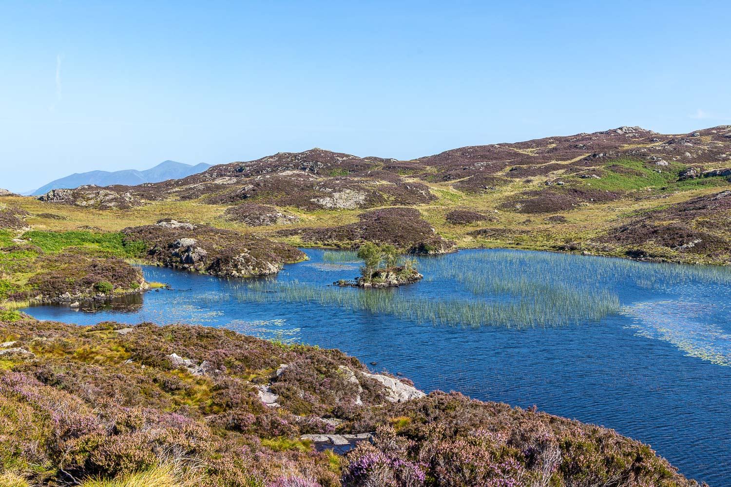
I follow a vague path above the tarn...
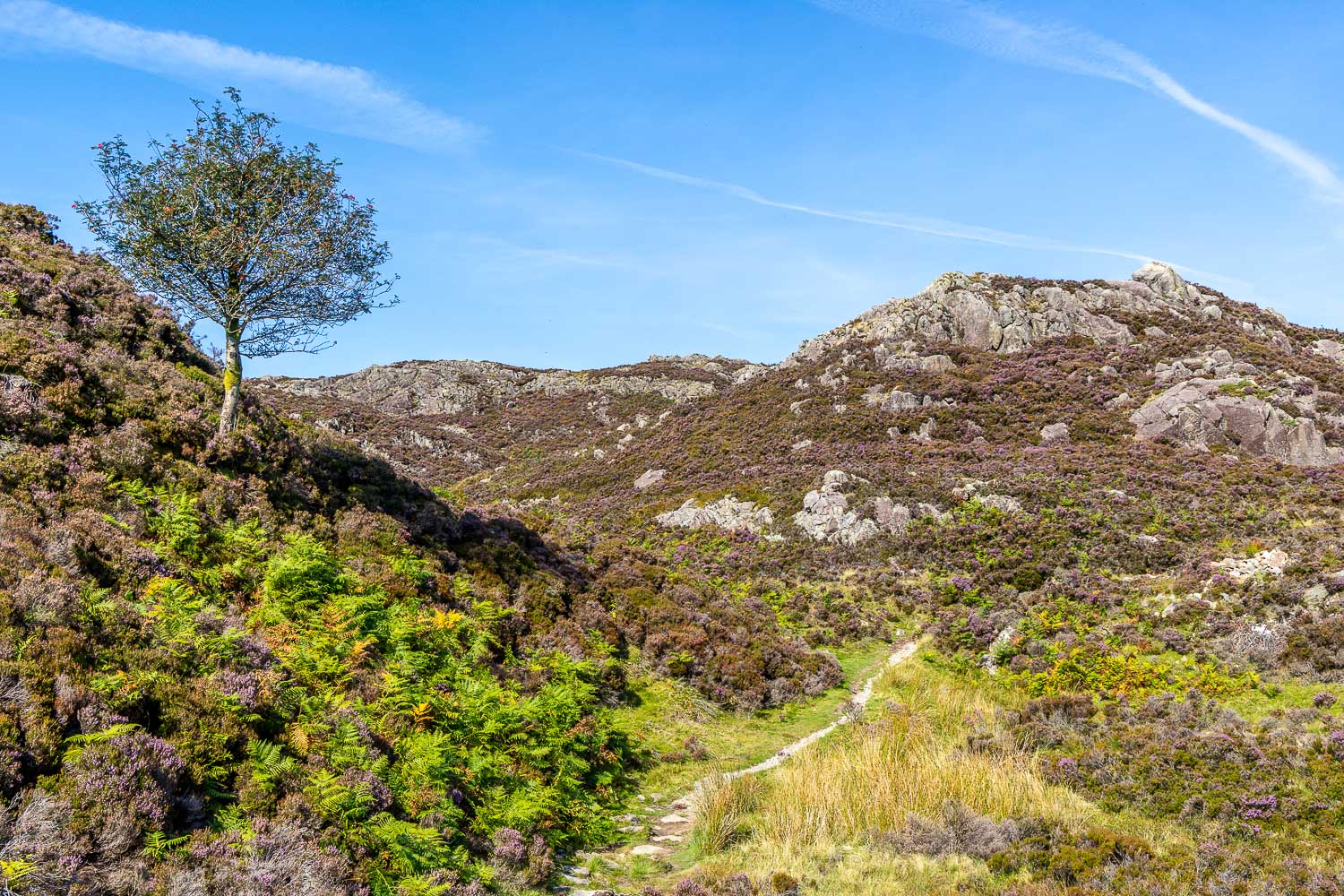
I visit one of the many lumps and bumps on the summit area, although didn't visit the highest point today
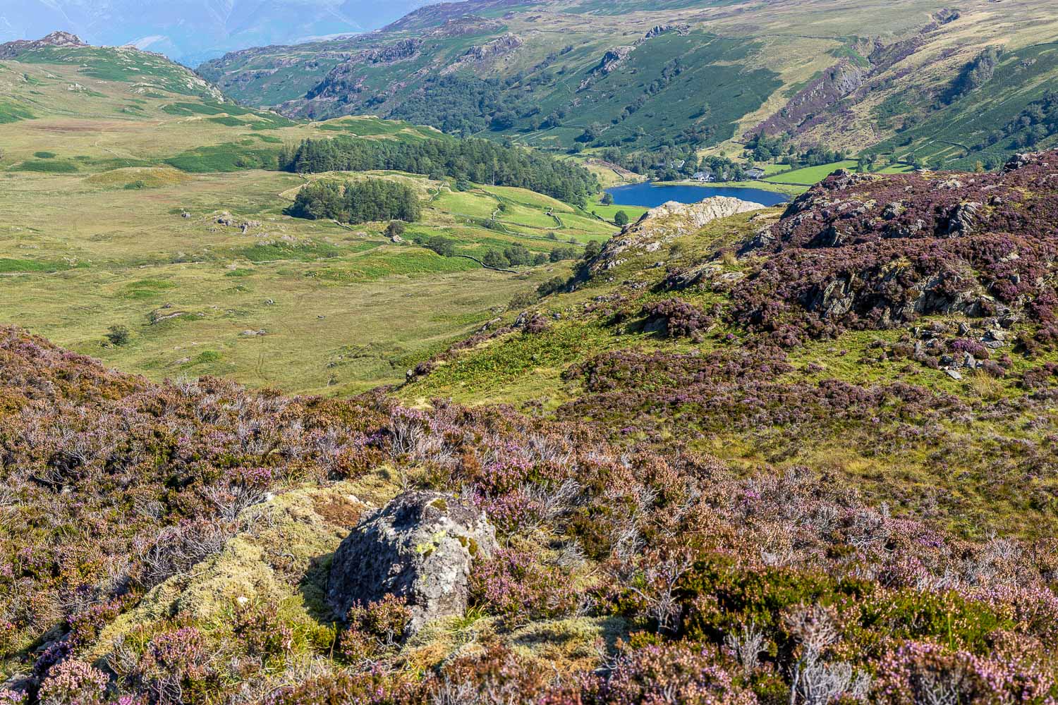
The start of the descent as I follow a path towards Watendlath and its tarn...
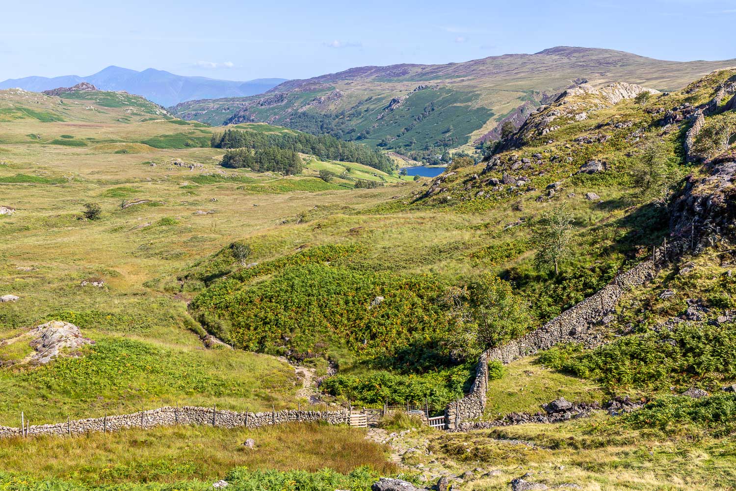
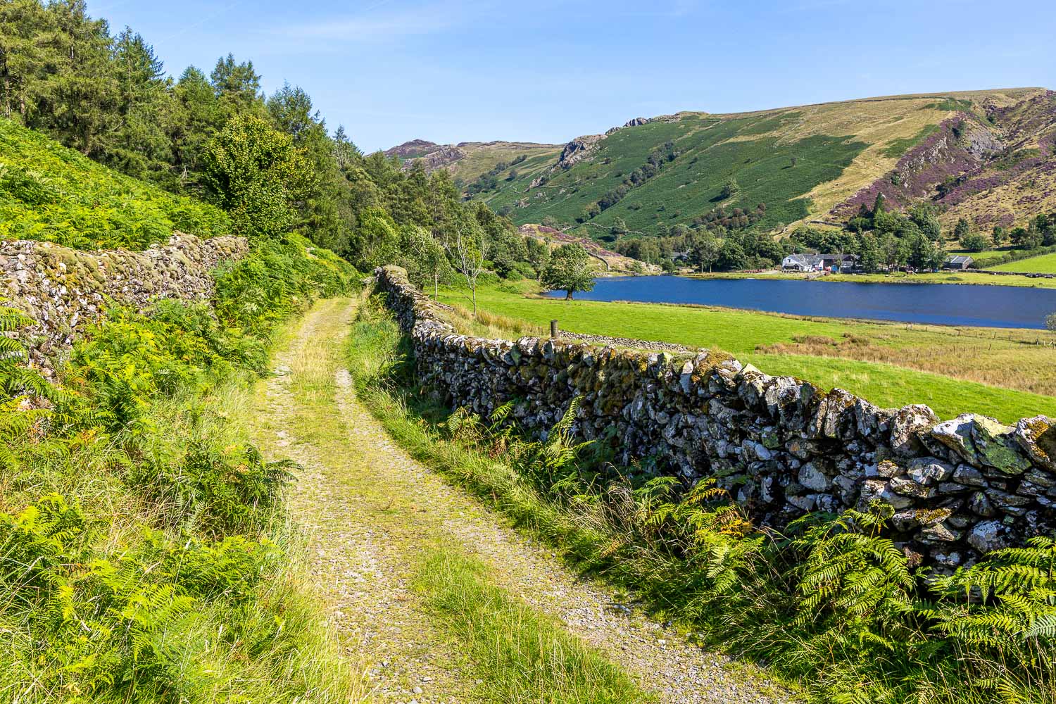
Approaching Watendlath
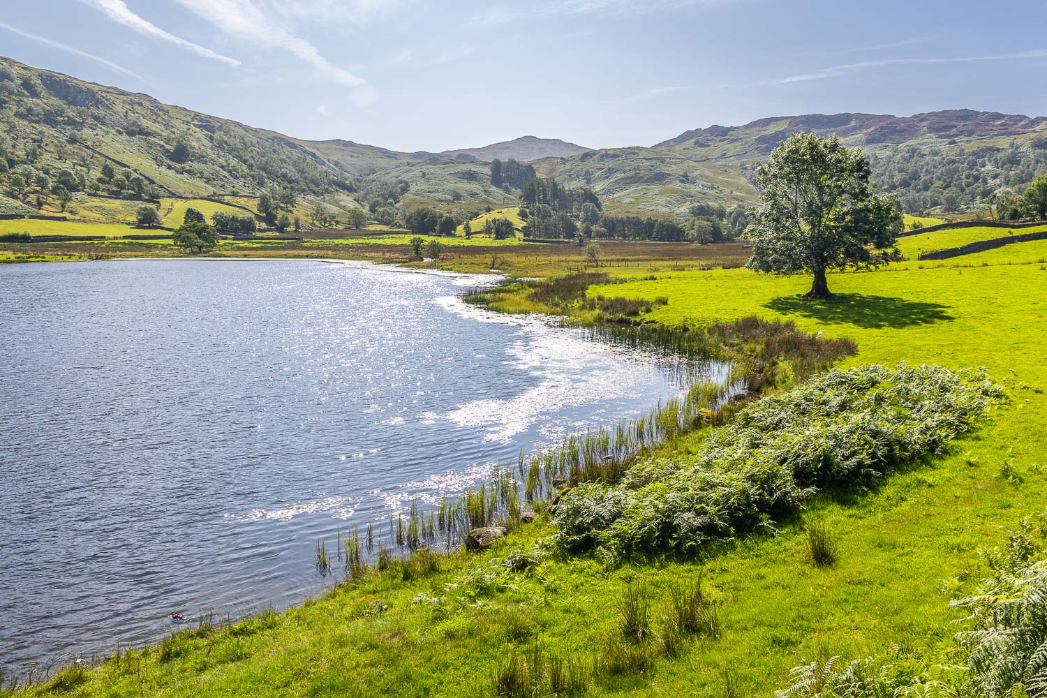
Watendlath Tarn
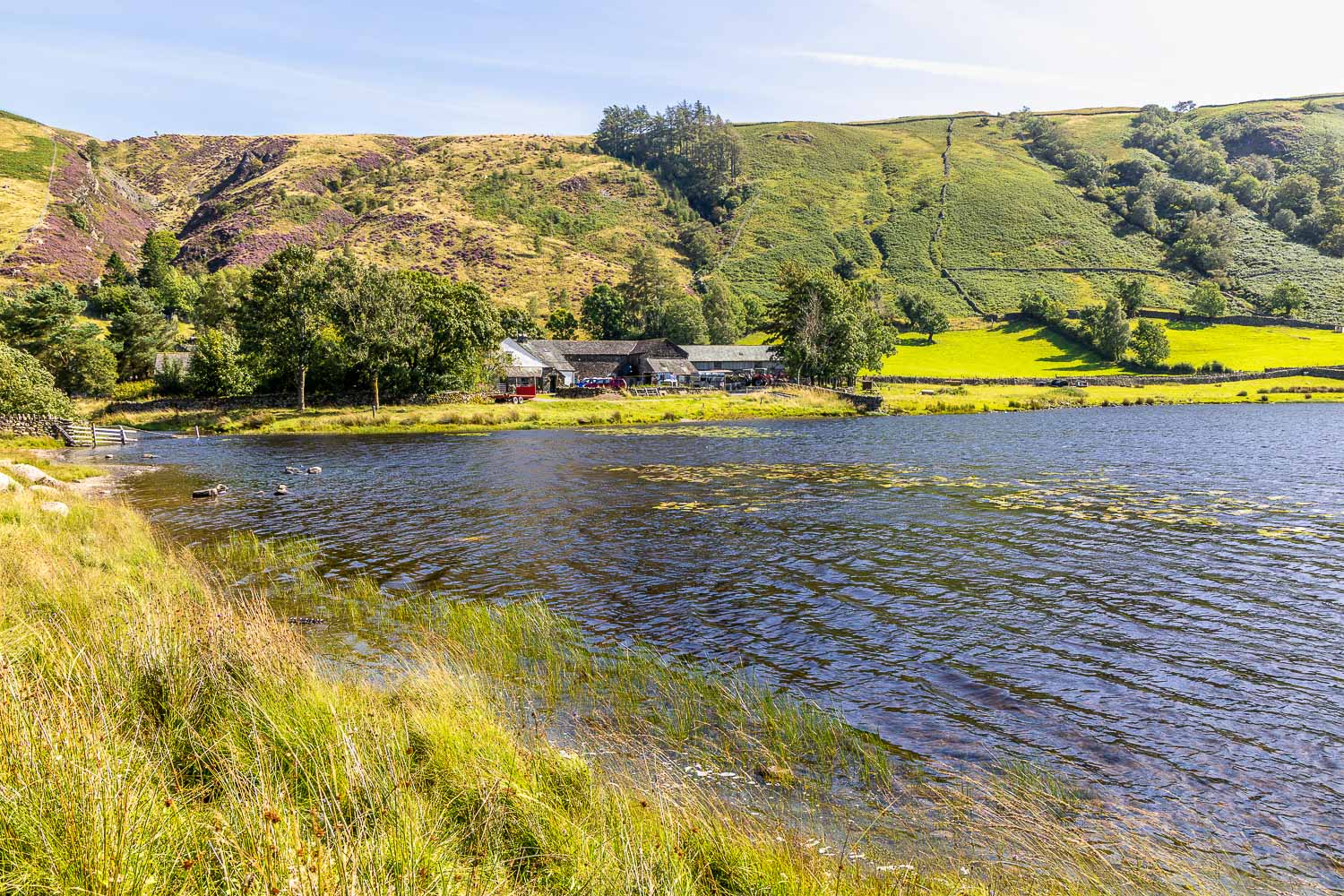
I follow a path around the edge of the tarn
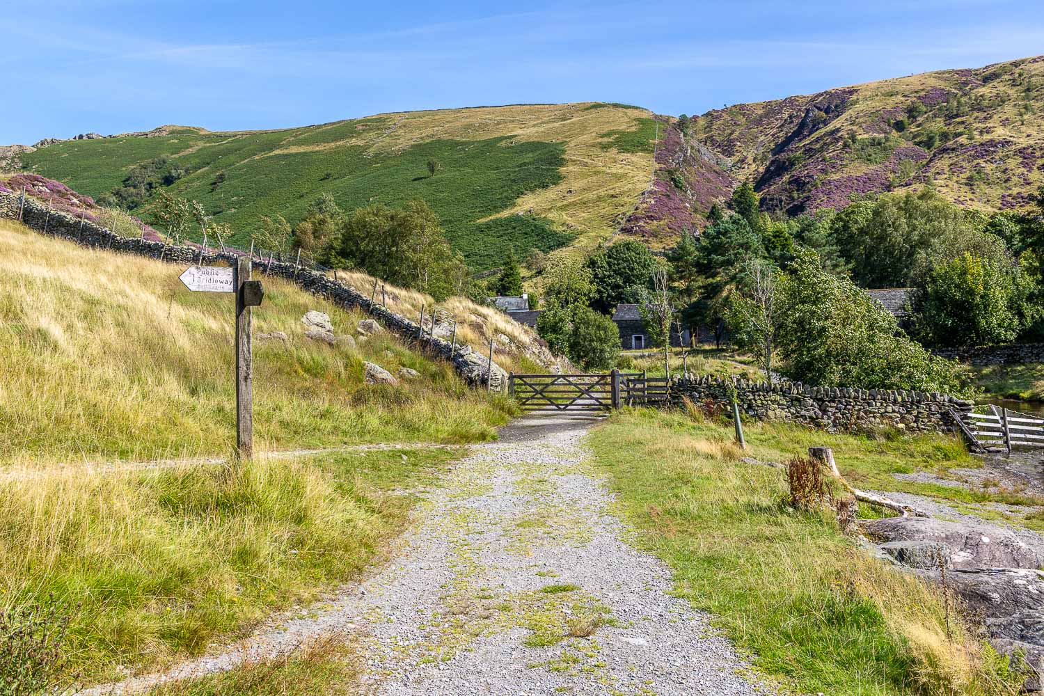
My route lies to the left, but I make a short there and back detour into the hamlet
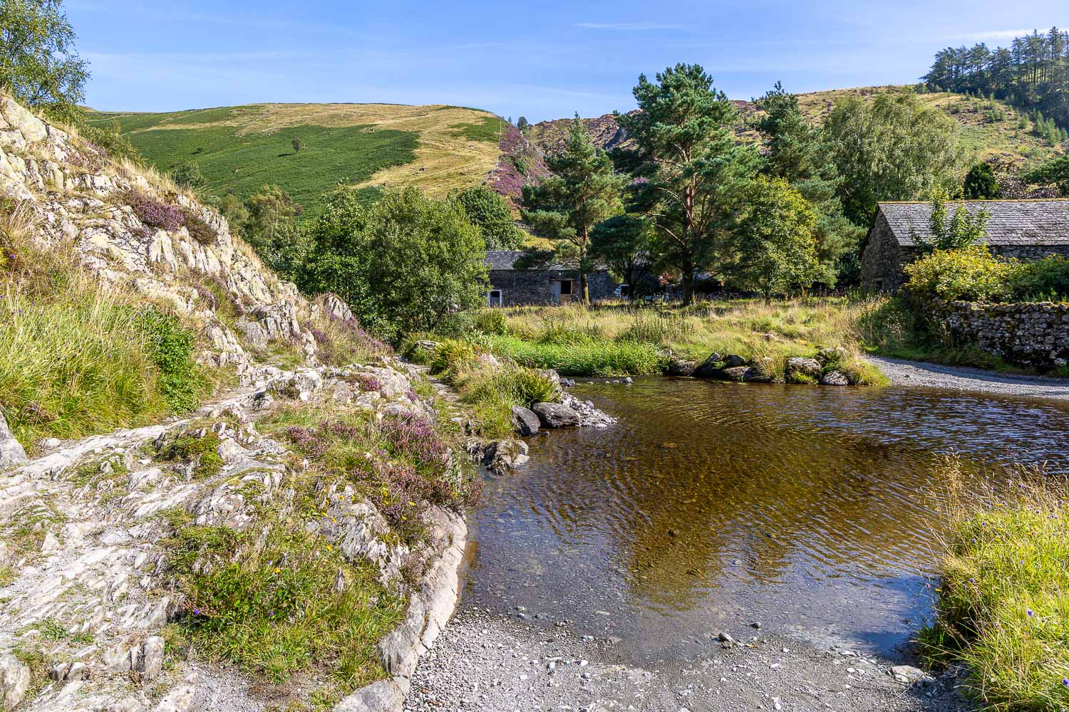
I follow a path to the left of the ford at the outflow of Watendlath Tarn
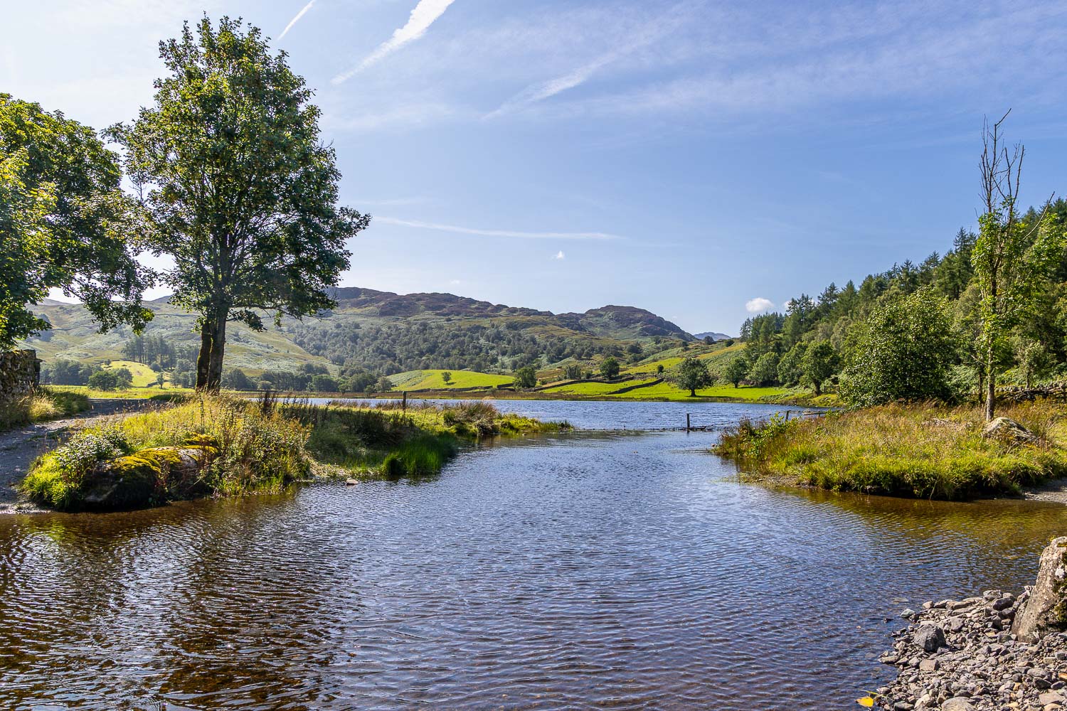
Watendlath Tarn and Watendlath Beck
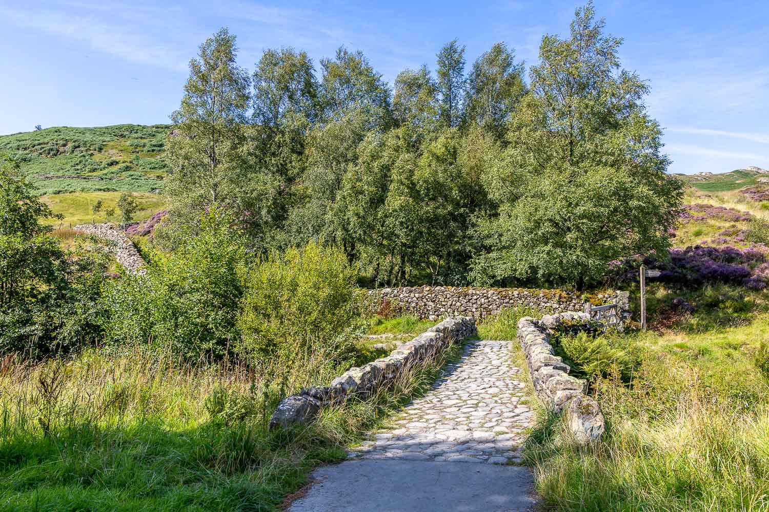
After refreshments at Caffle House Tearooms I return over the old bridge which spans Watendlath Beck
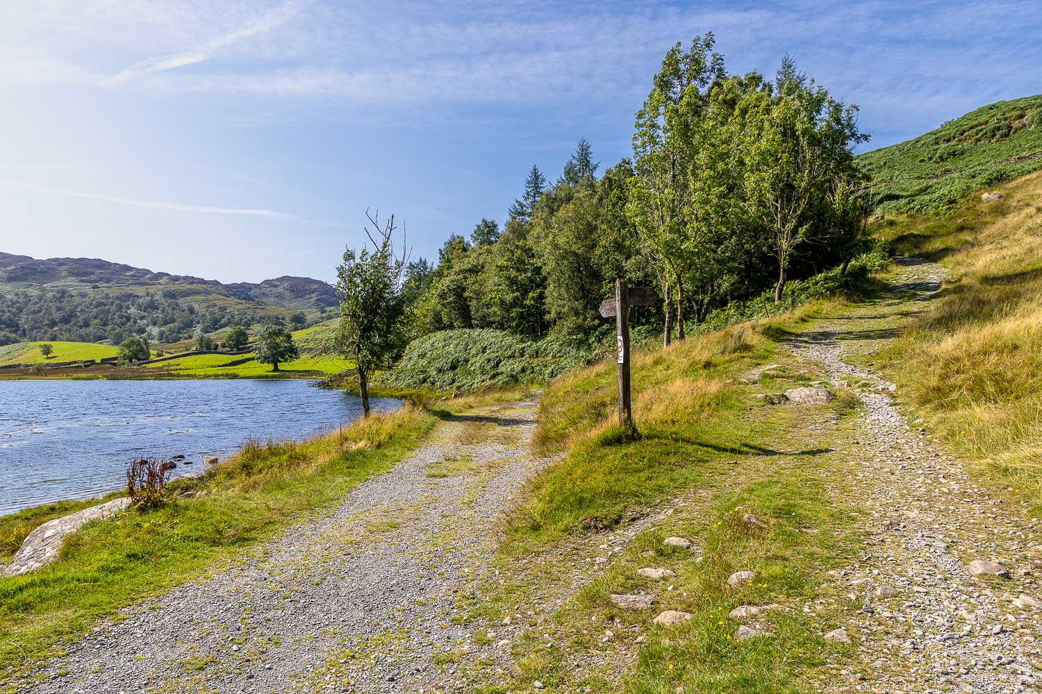
The halfway point of the walk as I branch right here to climb up Puddingstone Bank
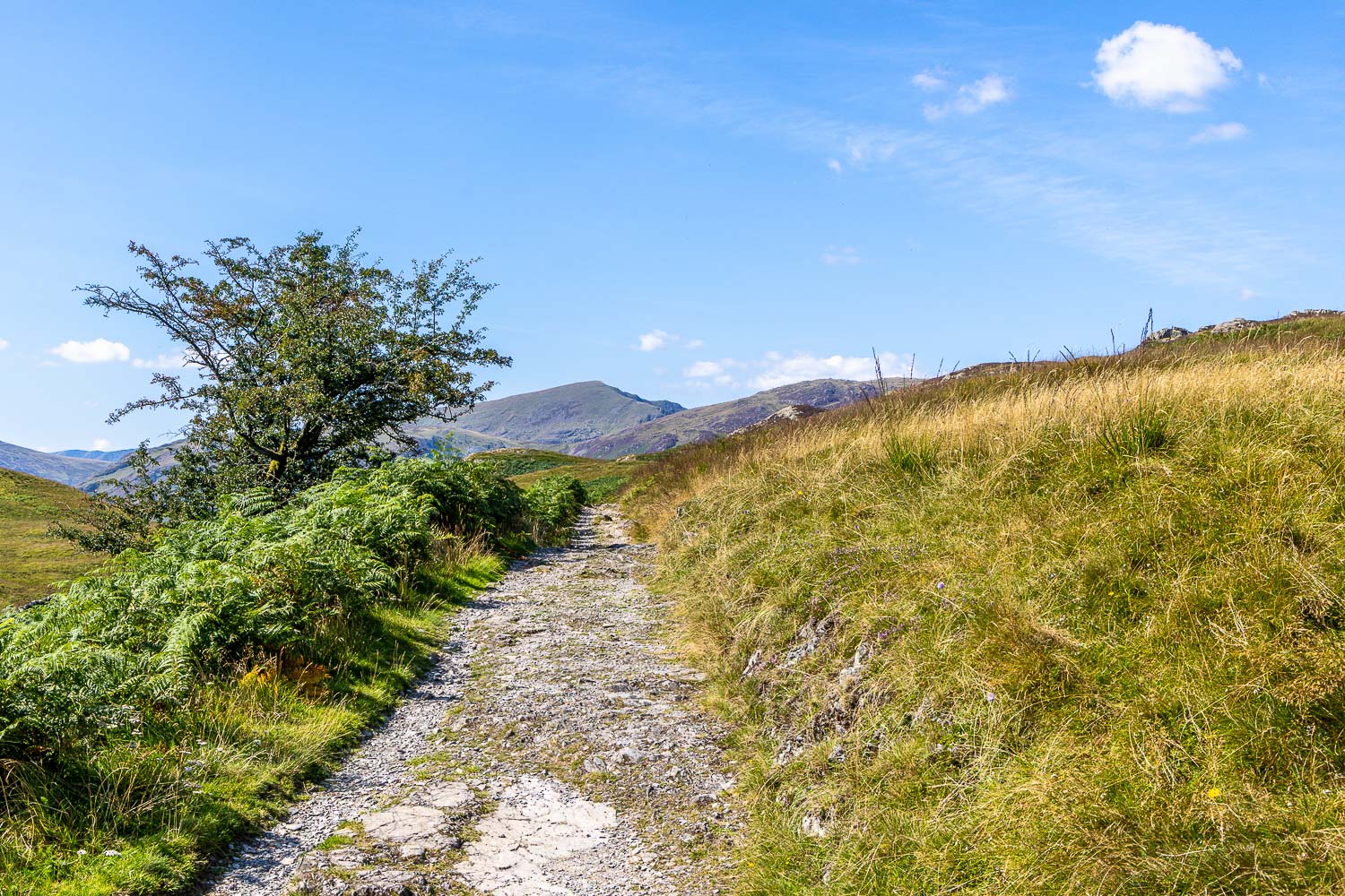
It's a gentle climb but in this heat it was quite a tiring one...
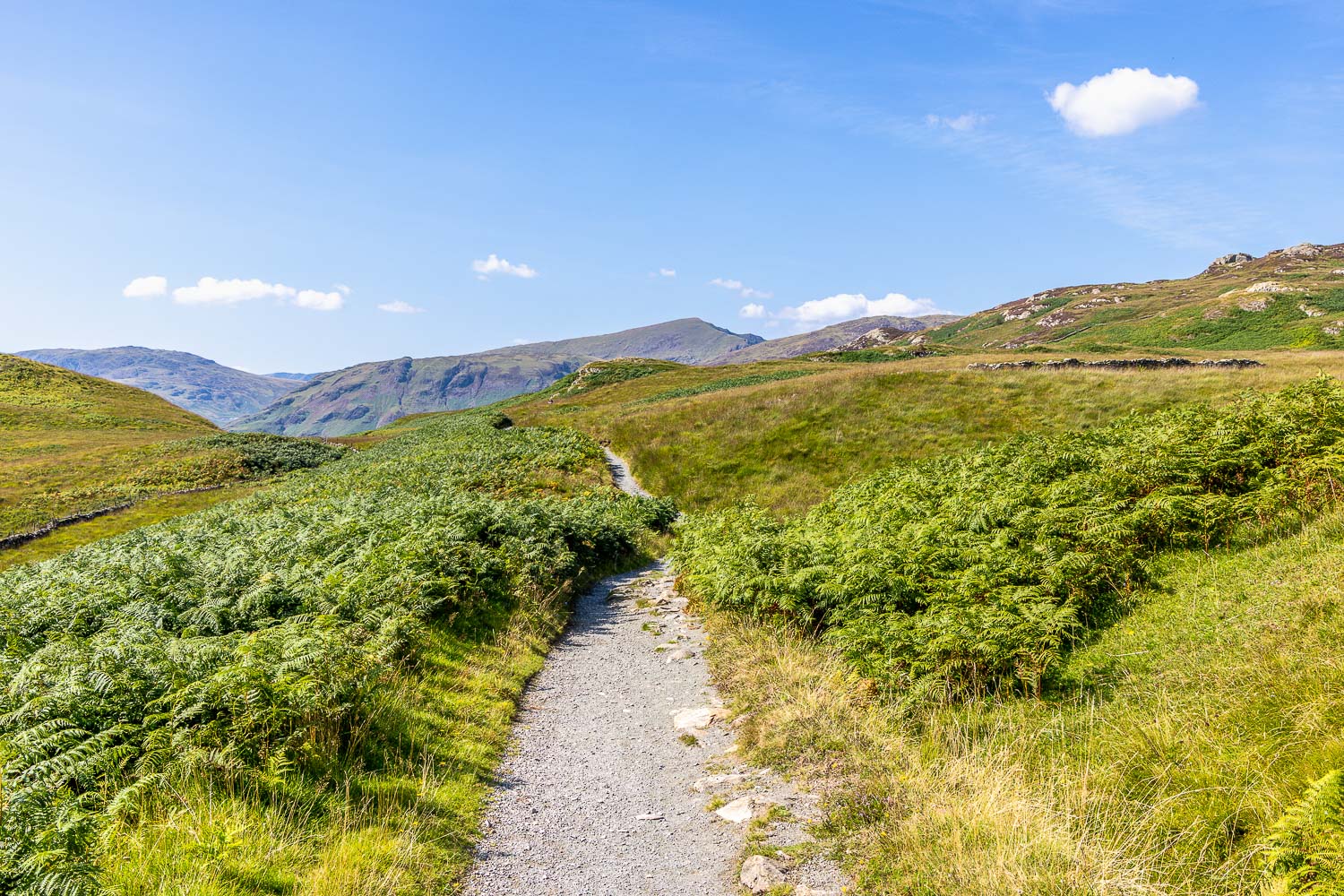
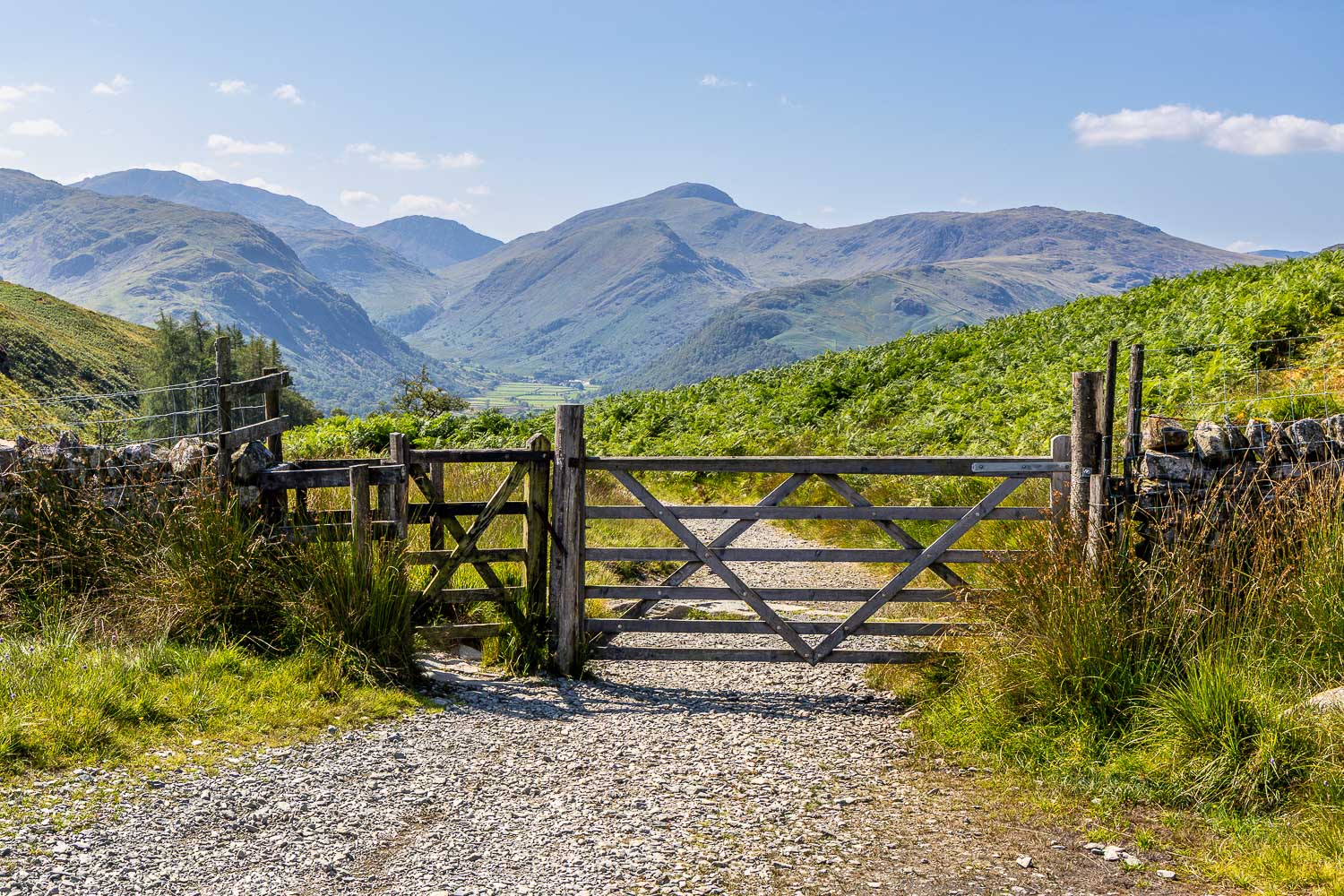
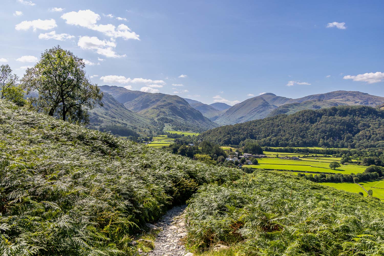
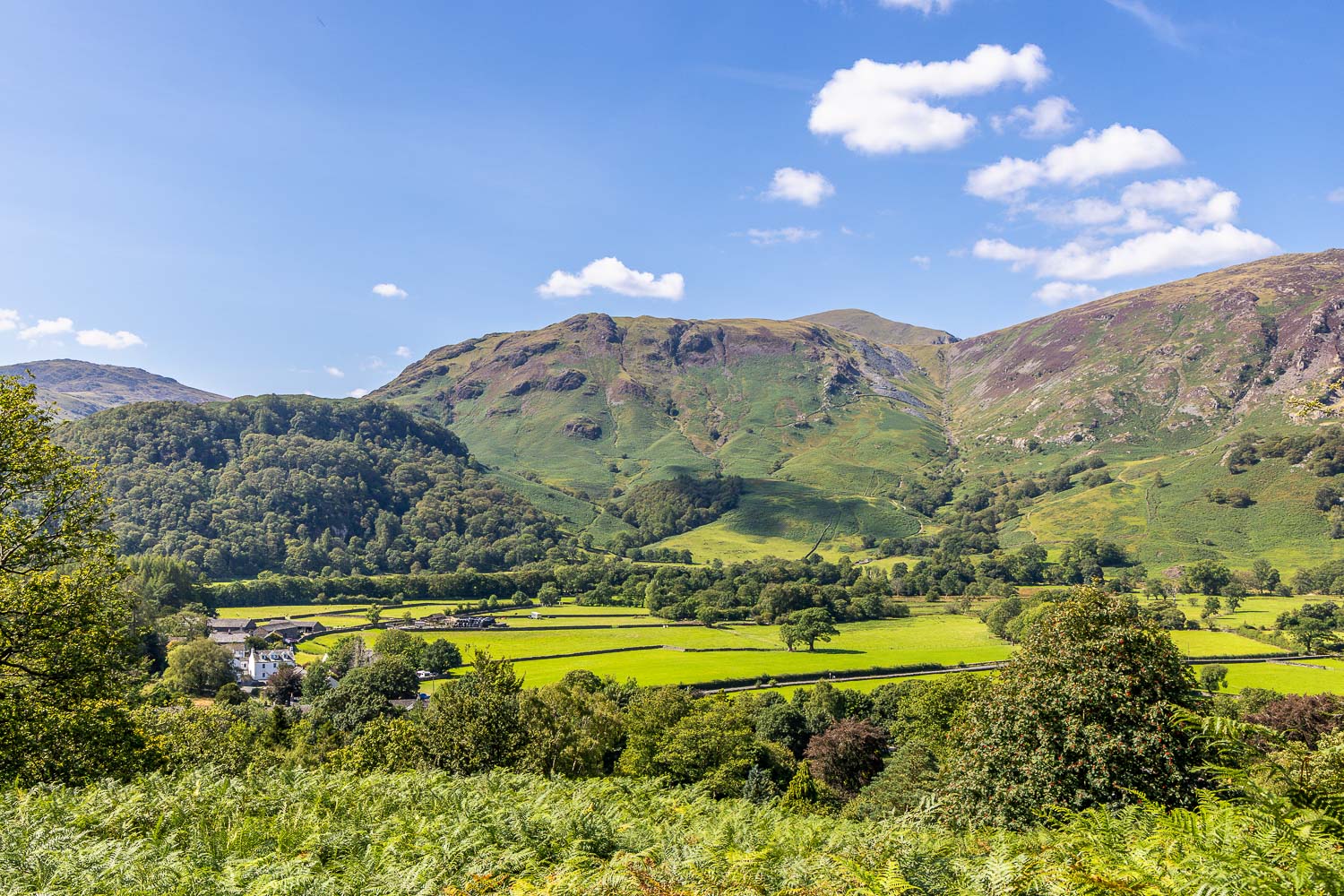
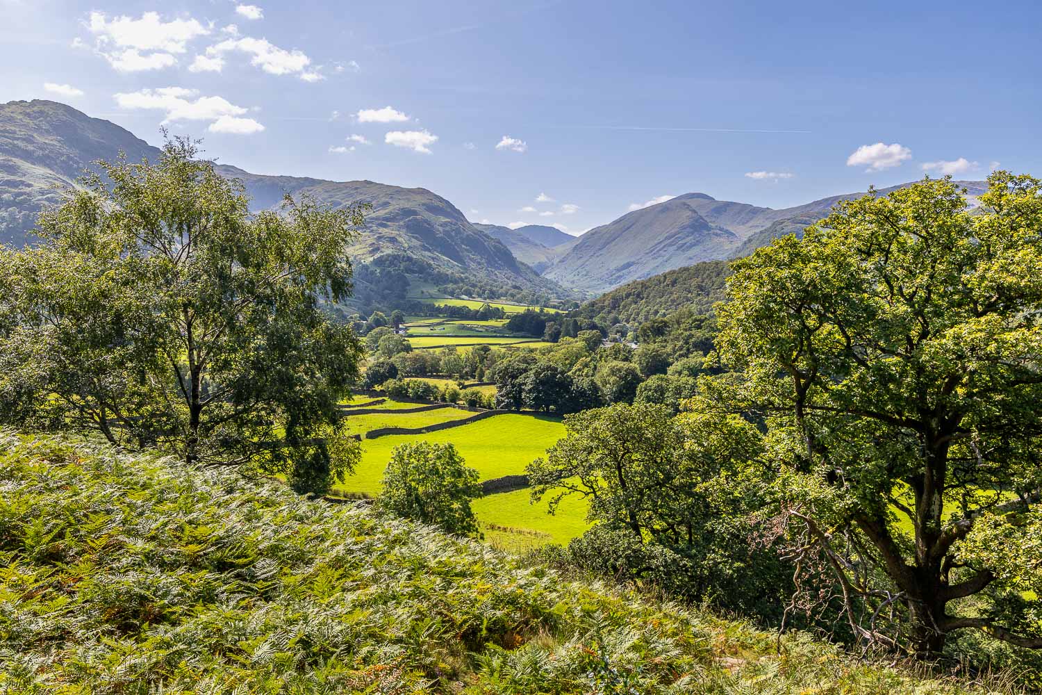
Another highlight of the walk as Borrowdale comes into view, with ever improving views of the valley during the descent...
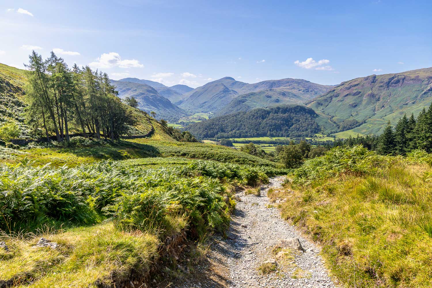
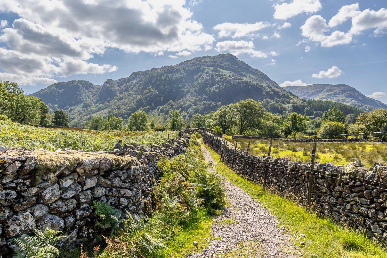
Back down to valley level and I follow the Cumbria Way towards Rosthwaite Fell
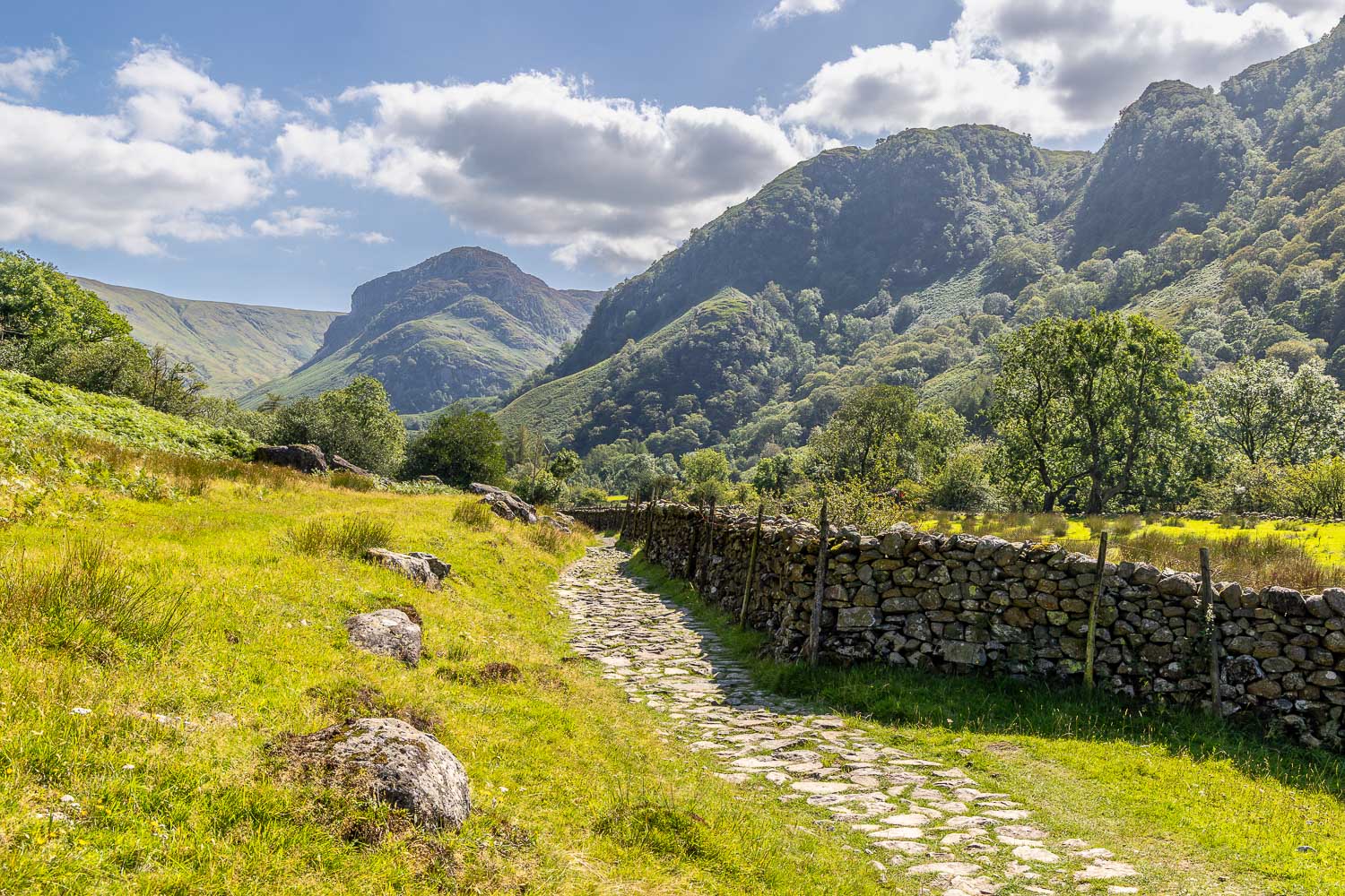
Eagle Crag in the background
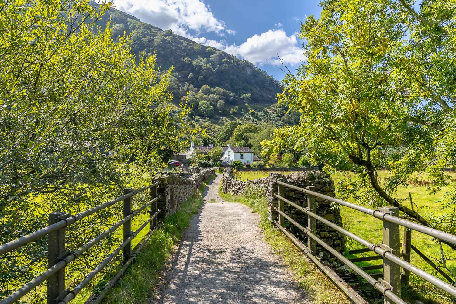
On reaching Stonethwaite Bridge I retrace my steps back to the start
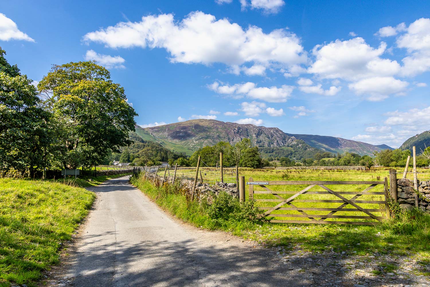
I follow the lane out of Stonethwaite to end a wonderful walk