
Route: Buttermere circuit
Area: Western Lake District
Date of walk: 5th June 2019
Walkers: Andrew
Distance: 6.4 miles
Ascent: 500 feet
Weather: Bright patches at first but clouding over with light rain
Today’s walk was an unplanned one. I’d set off for Crummock Water at dawn in the hope of catching some good light for photography. As I drove along the valley I could see that the Buttermere fells were looking promising, and so decided to walk the classic Buttermere circuit. This can be too busy at peak times, but at just after 6am I wasn’t expecting to see anyone else around, and this proved to be the case
I parked as usual in the National Trust car park at Long How, and walked through Buttermere village, passing the Fish Inn and following the path towards the foot of the lake. The bridge over Buttemere Dubs at the foot of Buttermere has still not been replaced, and I had to make a short detour to Scale Bridge, half way between Crummock Water and Buttermere. The diversion is well signed and is easily followed. The signage indicates that the bridge will be replaced this month
At the foot of Buttermere I joined the lakeshore path and followed it through Burtness Wood to the head of the lake. The views towards Fleetwith Pike, Haystacks and Warnscale Bottom were as wonderful as ever, despite the weather having closed in by now
After crossing Peggy’s Bridge at the head of the lake and passing by Gatesgarth Farm I started the return leg along the other shore. The weather continued to deteriorate as the rain became heavier and the views of the fells became shrouded in mist. I followed the sometimes rocky path back into Buttermere village, passing through the short tunnel in the rocks near Hassness along the way.
This is one of the very best low level walks in the Lake District, one which appears over 20 times on these pages. Although the weather wasn’t as good as last time here in February, it’s a walk which is full of beauty in all conditions. For anyone following this walk, note that the Maps Page shows the route which I took, necessitated by the missing bridge. When it’s finally restored, hopefully later this month, the route will be as shown here and will be 1 mile shorter than it was today
For other walks here, visit my Find Walks page and enter the name in the ‘Search site’ box
Click on the icon below for the route map (subscribers to OS Maps can view detailed maps of the route, visualise it in aerial 3D, and download the GPX file. Non-subscribers will see a base map)

Scroll down – or click on any photo to enlarge it and you can then view as a slideshow

First light on High Ling Crag Crummock Water

Mellbreak

As I looked along Crummock Water to the Buttermere fells (the lake itself is unseen from here), conditions looked promising, and so I decided to go for a walk

On the way to Buttermere, I passed by Woodhouse Islands near the head of Crummock Water

The start of the circuit of Buttermere as I leave the car park at Long How and walk past Cragg House Farm

After walking through the village I pass by the Fish Inn

Fleetwith Pike and Haystacks at the head of Buttermere

Normally I'd take the path to the left, but I have to detour right in view of the temporary absence of the bridge

I follow the path to Scale Bridge, the only way across Buttermere Dubs at present

Scale Bridge, where I'll turn left

Looking back to Grasmoor and Whiteless Pike, where I'd been last week

I follow the path beside Buttermere Dubs

Sourmilk Gill at the foot of Buttermere

Start of the lakeshore path

Burtness Wood

Looking across the lake


Fleetwith Pike

A wider path goes straight through the wood here, but I prefer the narrower one which hugs the shore...


Fleetwith Pike again...

Horse Close

Warnscale Beck beyond the head of the lake

Buttermere bothy

I continue ahead, passing by the path to Haystacks on the right

Herdies at the head of the lake

Warnscale Bottom and Haystacks

I follow the path across the head of the lake, crossing Peggy's Bridge

From Peggy's Bridge, the view to Warnscale Bottom...

...and another view from further along the path

I pass through Gatesgarth Farm

Traffic on the Buttermere road

Looking across to Low Crag from the short road section...

...and now looking back to the bothy

High Stile on the far side of the lake

Looking back to Haystacks from Hassness

Buttermere pine and Comb Beck

I cross the bridge over Hassnesshow Beck

Hassnesshow Beck

The path passes through a short tunnel carved out in the 19th century by a Manchester Mill owner. If you're over 6 feet tall duck, or your next memory may be waking up in hospital

Looking back to the bothy as the weather closes in


I pass by an old stone shed


High Crag Buttress below High Crag

Pike Rigg

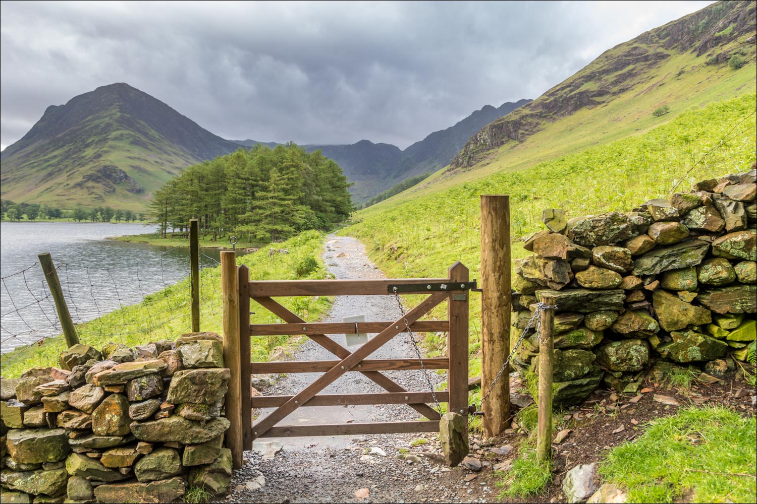
I pass by the gate to the foot of the lake - it's raining quite heavily by now

Back in Buttermere I say 'good morning' to the farm cat at Wilkinsyke and head home for breakfast - it had been a good start to the day
