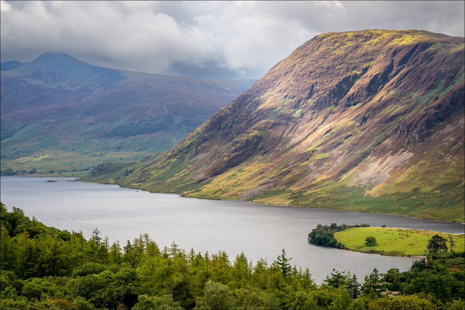
Route: Crummock Water and Lanthwaite Hill
Area: Western Lake District
Date of walk: 30th August 2026
Walkers: Andrew
Distance: 3.7 miles
Ascent: 500 feet
Weather: Cloudy with sunny spells
Today’s walk features Lanthwaite Hill and Crummock Water, both of which have appeared on these pages many times, but not in this combination, which was a first for me and turned out to be a delight every step of the way
I parked in the National Trust car park at Scale Hill. Instead of following the obvious path through Lanthwaite Wood, I branched off up a narrow path which leads steeply uphill. At a junction I took another left turn to continue up Lanthwaite Hill. It’s a steep rocky climb, but a short one, and I was soon at the top of the hill admiring the wonderful views over Crummock Water, Loweswater and Lorton Vale. From here I descended back into Lanthwaite Wood. There are various intersecting paths along the way, but no chance of going astray if you follow one simple rule – keep the dry stone wall on your left. This will bring you down to the stony beach and the boathouse on the eastern shore of Crummock Water
From here I followed the path to the foot of the lake, crossing the two bridges over the infant River Cocker. Beyond the weir I continued along the lakeshore path, passing by the Pump House. After walking along a stony beach I headed gently uphill towards the foot of Mellbreak before turning right to walk through Highpark and Lowpark. Beyond these two small settlements I followed the quiet country lanes back to the Loweswater road to complete a wonderful short circuit
For other walks here, visit my Find Walks page and enter the name in the ‘Search site’ box
Click on the icon below for the route map (subscribers to OS Maps can view detailed maps of the route, visualise it in aerial 3D, and download the GPX file. Non-subscribers will see a base map)

Scroll down – or click on any photo to enlarge it and you can then view as a slideshow
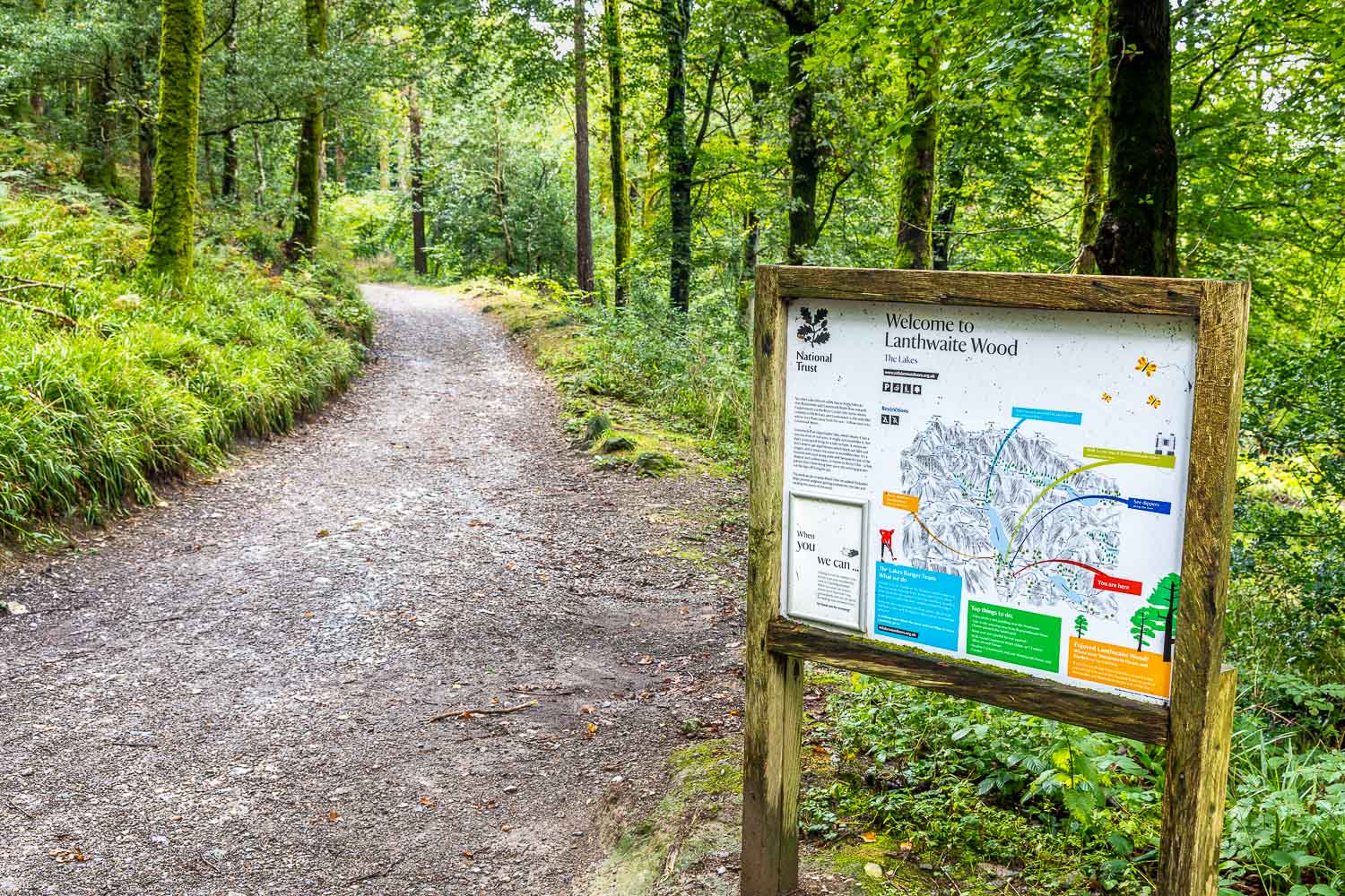
Entrance to Lanthwaite Wood from the Scale Hill car park. Instead of following the path ahead I turn left uphill
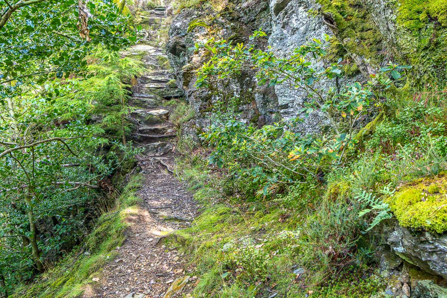
A steep and sometimes rocky path soon leads to the top of Lanthwaite Hill
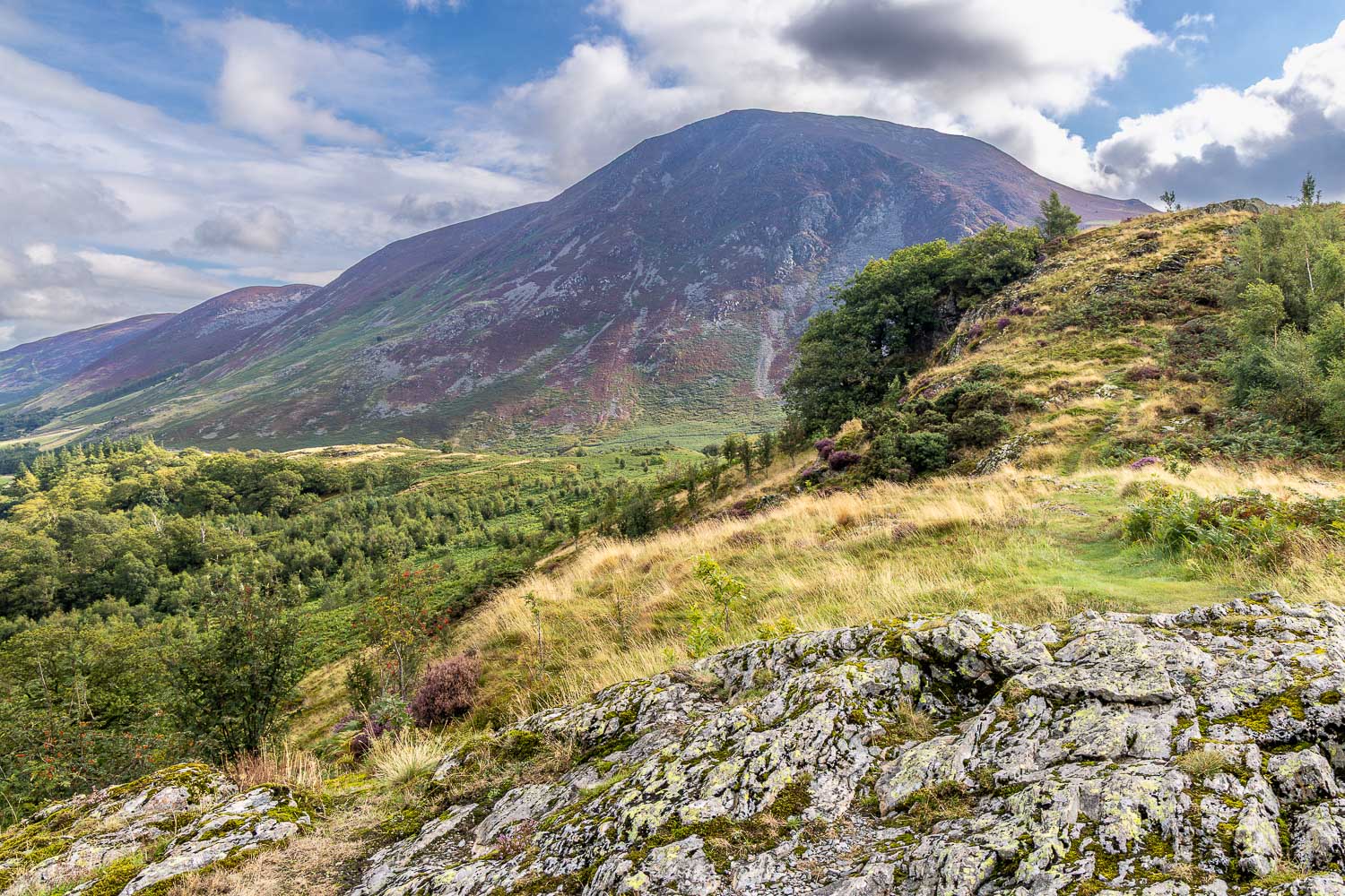
Whiteside on my left as I head up the ridge
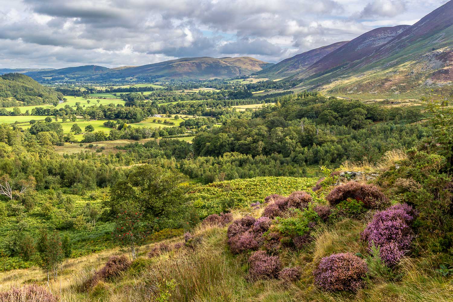
Sweet Lorton Vale
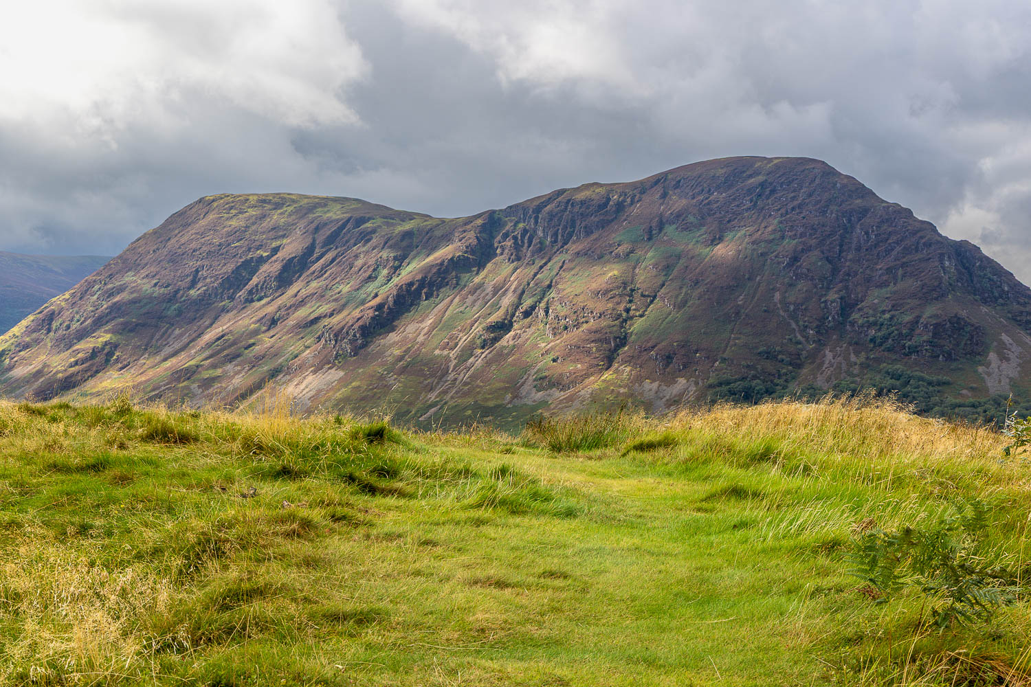
Mellbreak looms ahead as I approach the top of the hill
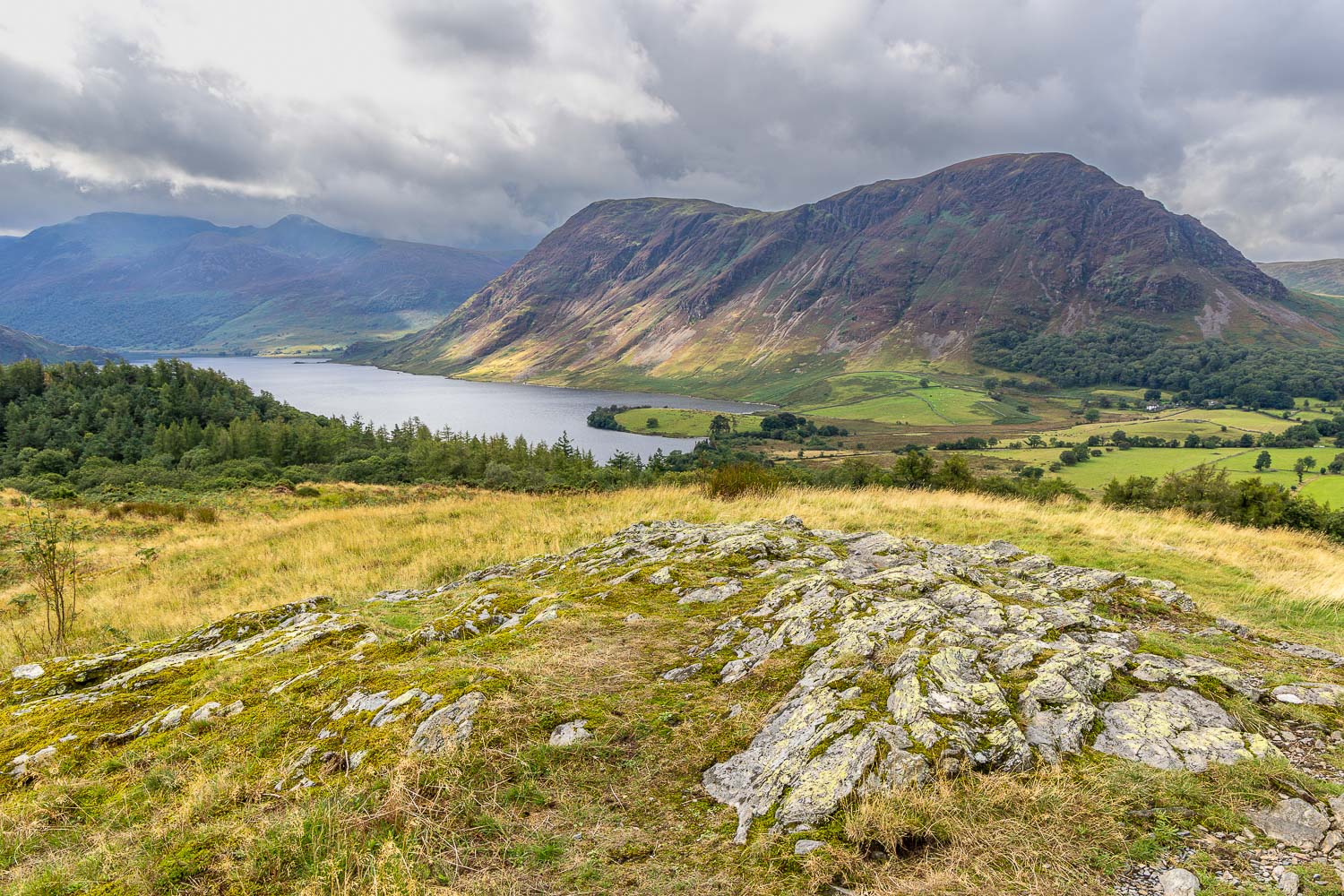
Crummock Water from Lanthwaite Hill
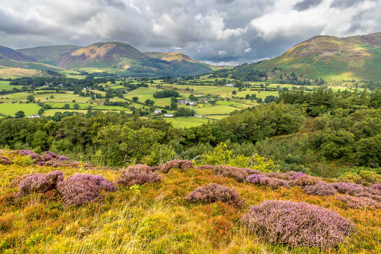
Loweswater - the lake itself is just out of sight
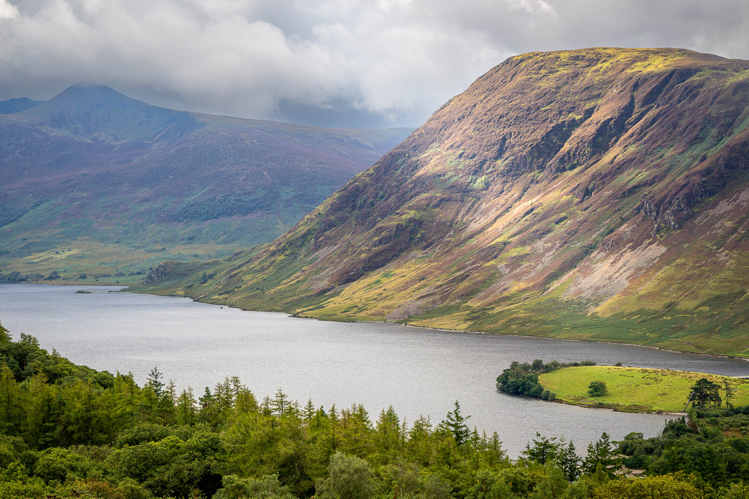
Looking down to the remains of a twelfth-century Pele tower, shown on the OS map as 'Peel'. I'll be walking around the Peel (right of picture) in due course
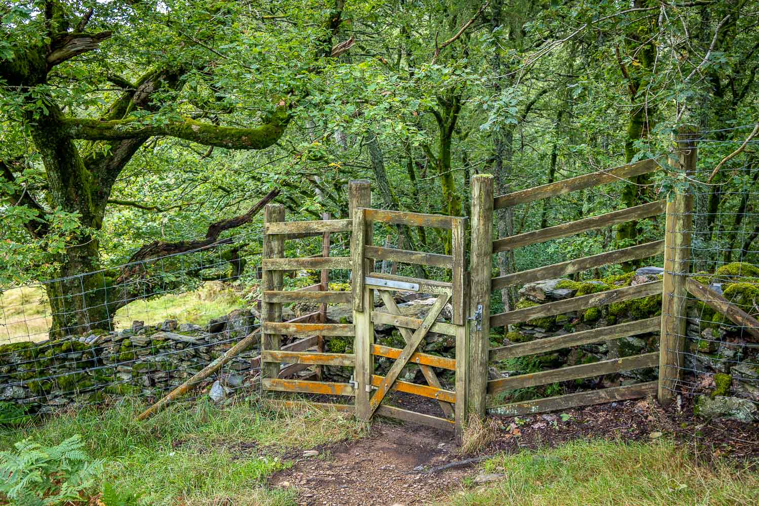
I re-enter Lanthwaite Wood via the deer gate
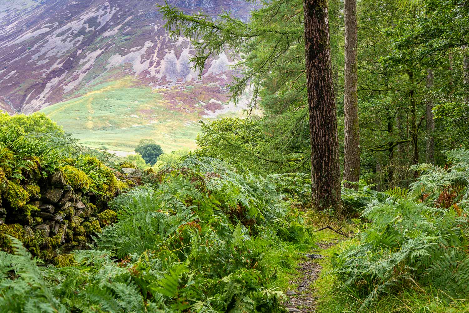
I follow the course of a dry stone wall around the edge of Lanthwaite Wood
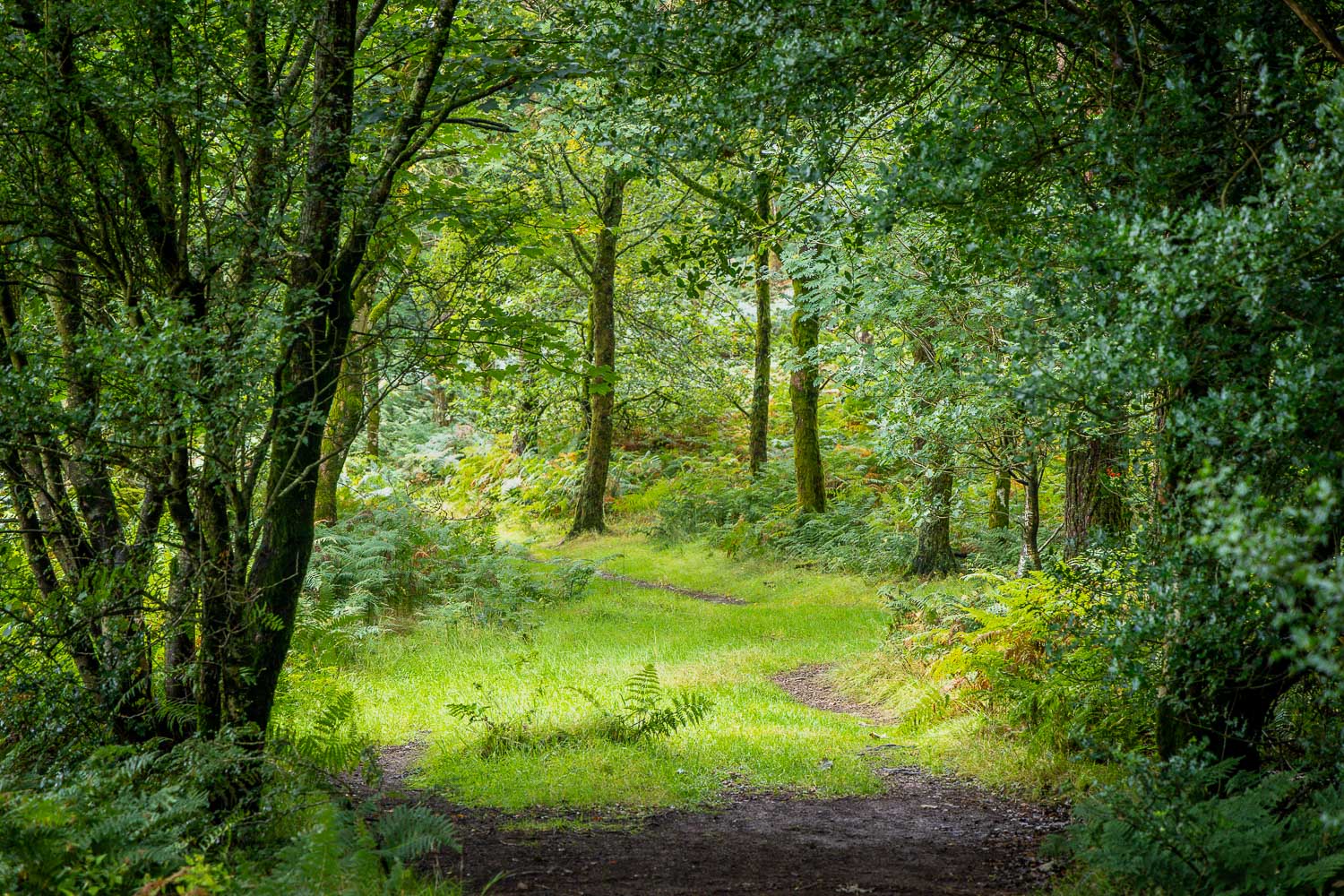
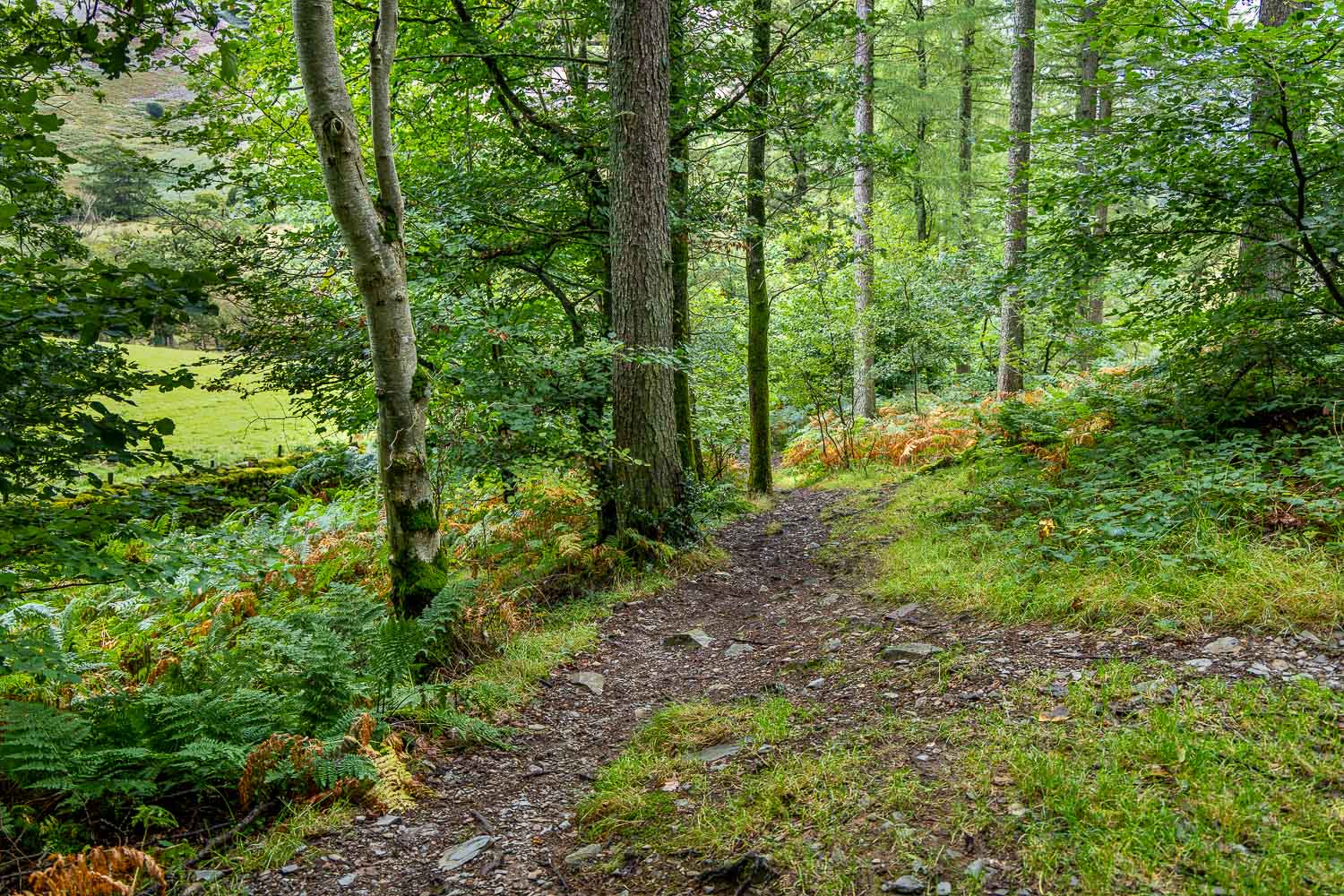
The path begins to descend towards Crummock Water
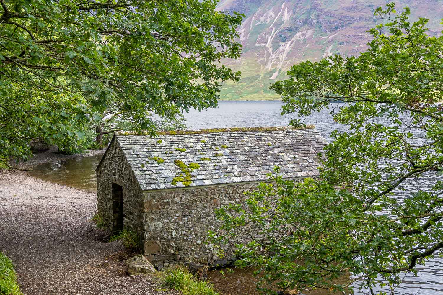
On reaching the boathouse I turn right
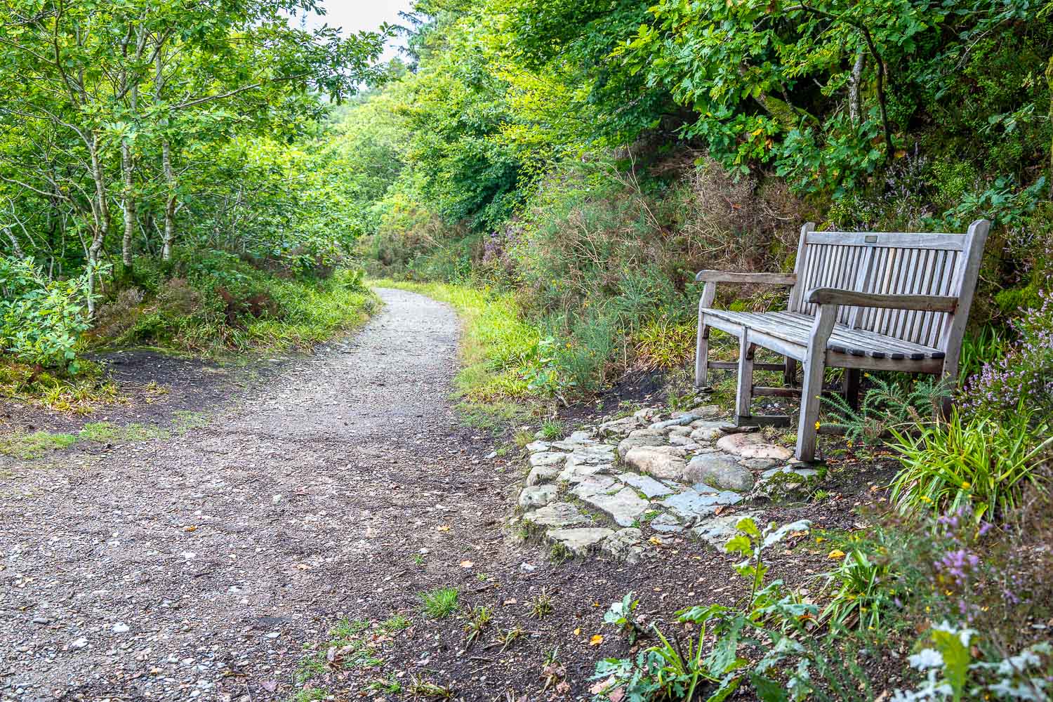
I follow this path along the lakeshore
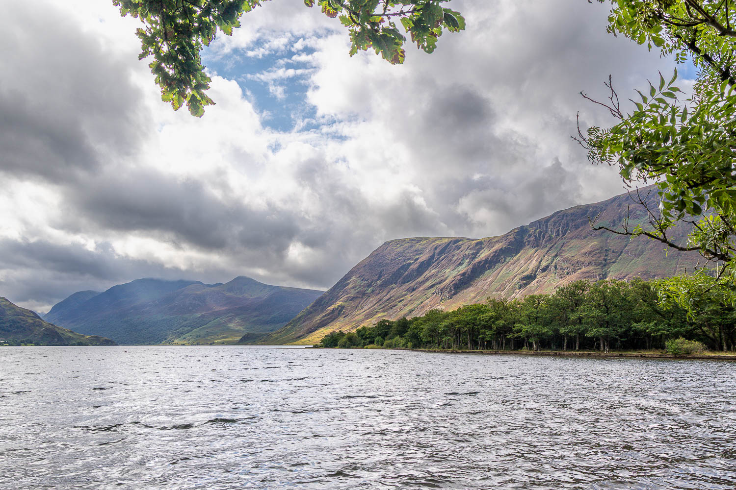
I arrive at the foot of Crummock Water, looking across the Mellbreak and the High Stile Range
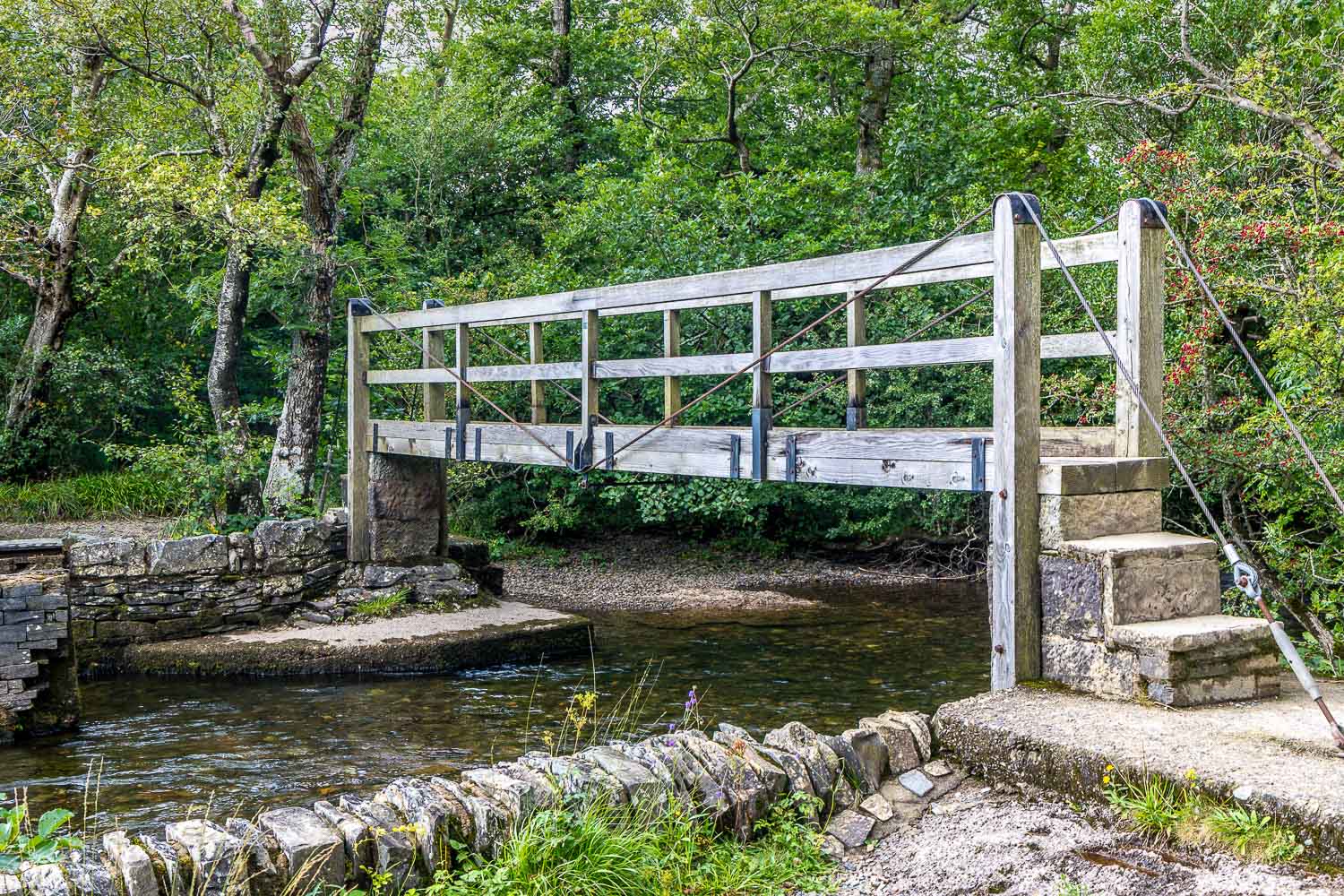
I cross the bridge, one of two, over the River Cocker as it flows out of the lake
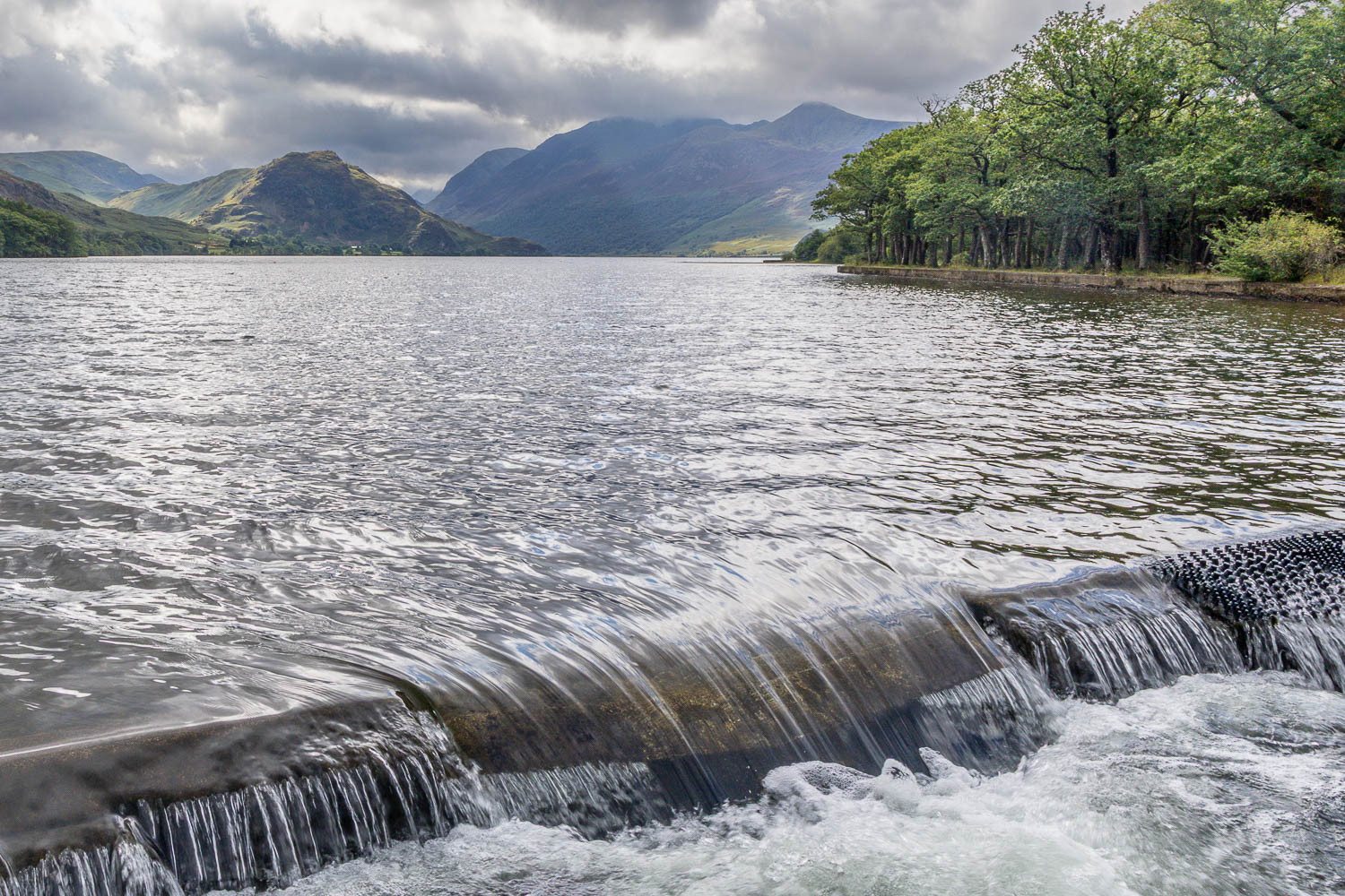
Looking over the weir at the foot of Crummock Water
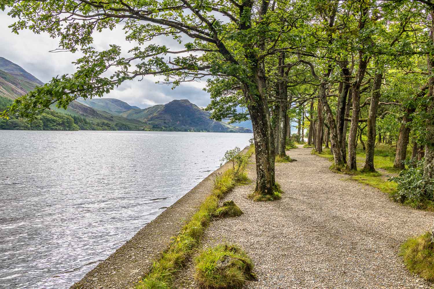
I continue along the shore of the lake
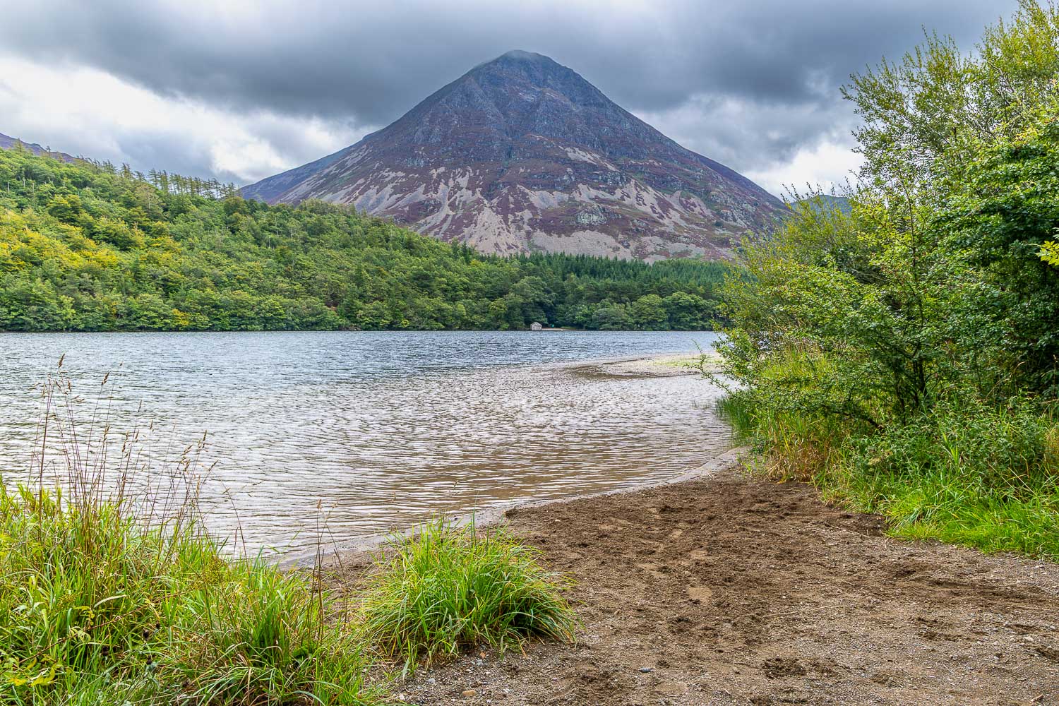
Grasmoor
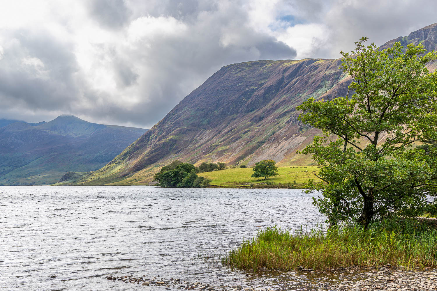
Mellbreak, a major feature of this walk
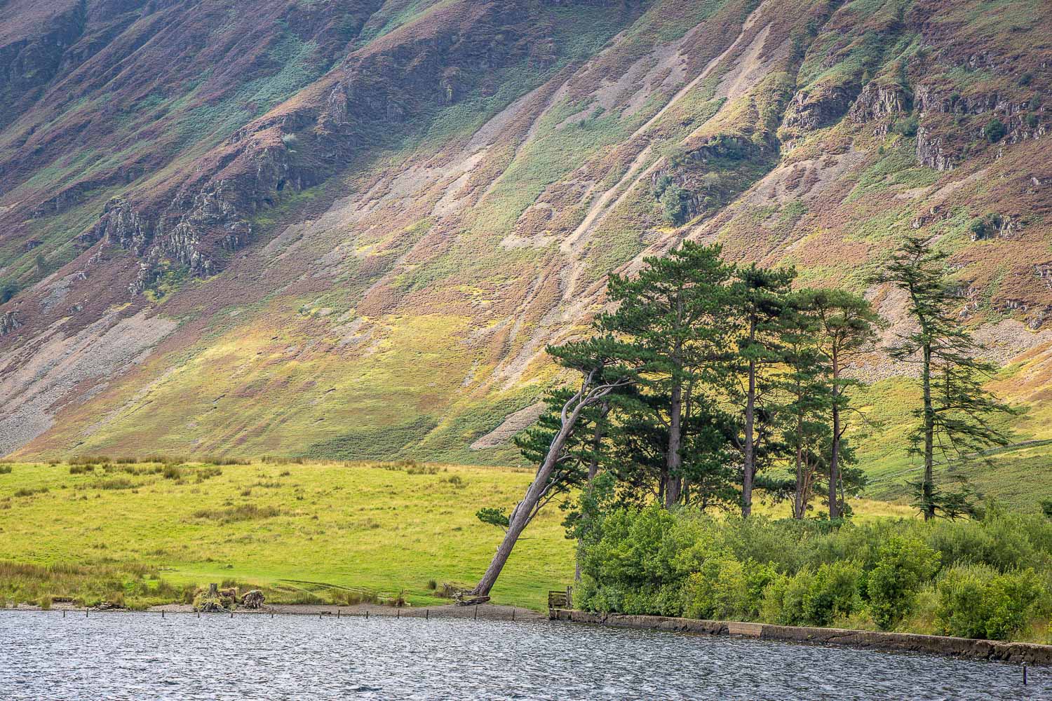
The leaning pine tree
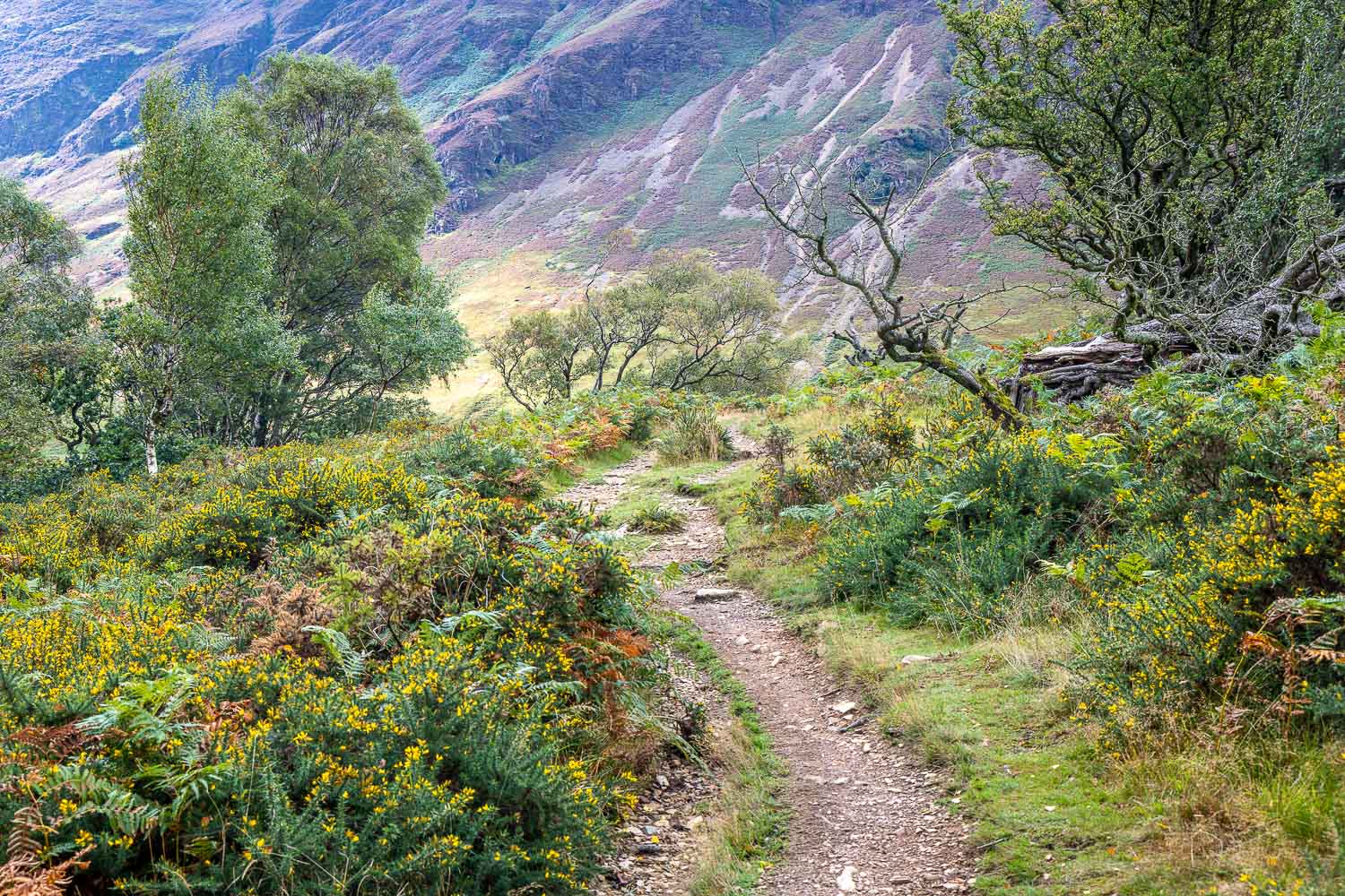
I follow a delighful path towards the foot of Mellbreak...
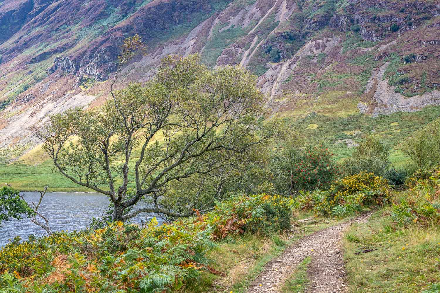
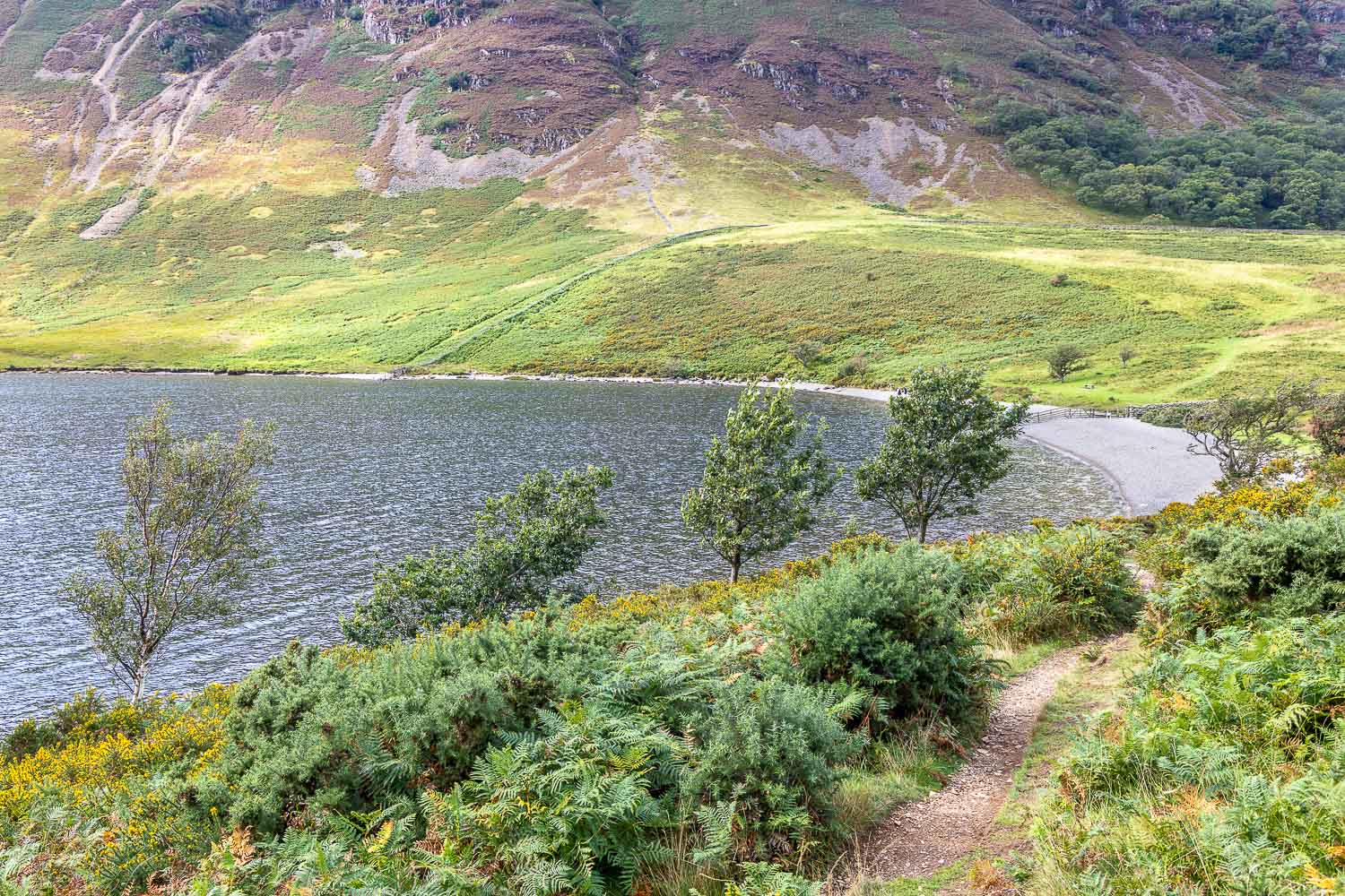
I head down to another stony beach
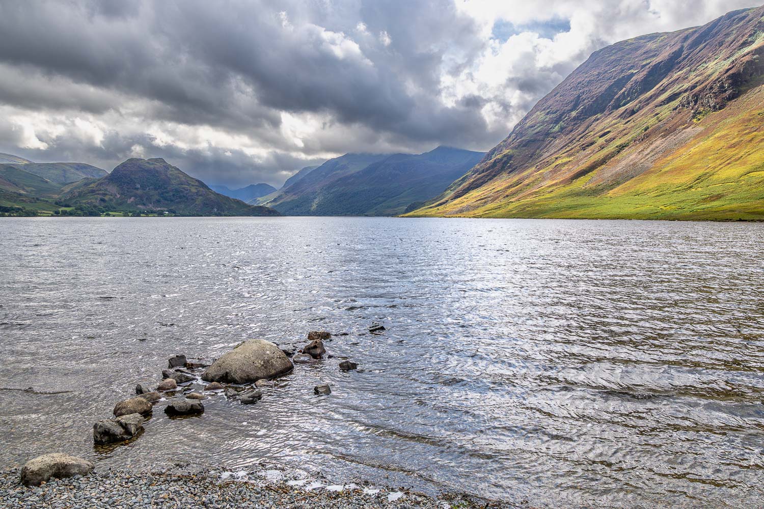
View along Crummock Water, with Rannerdale Knotts on the left
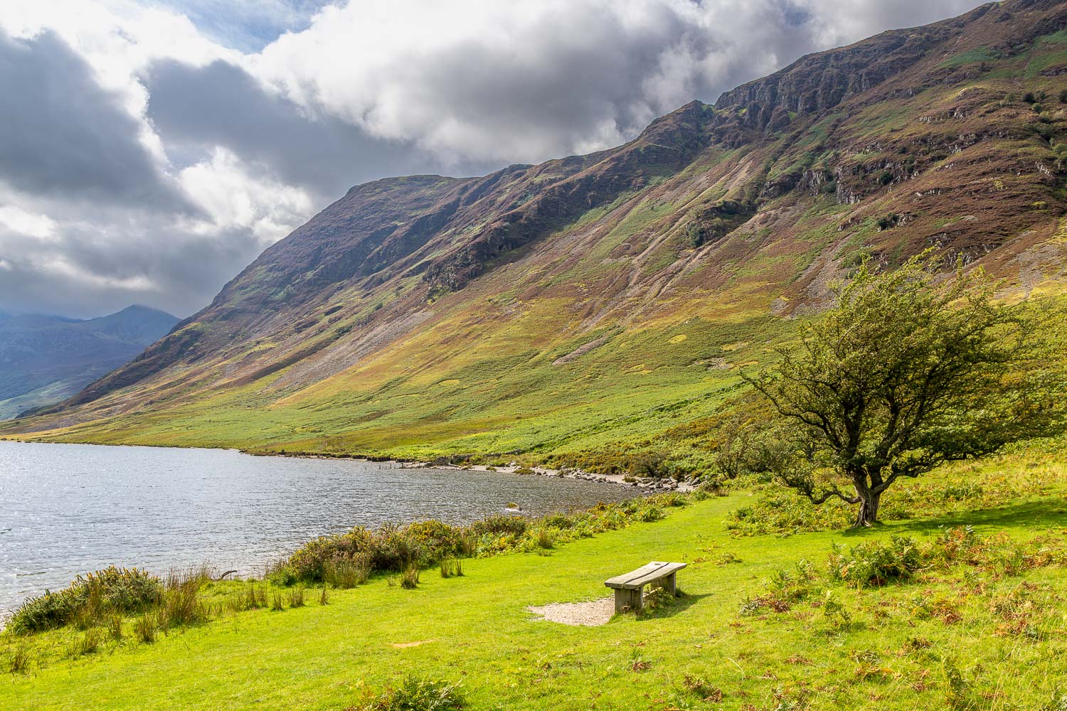
It's possible to turn right at this bench, but I carry on around the lakeshore for a short distance
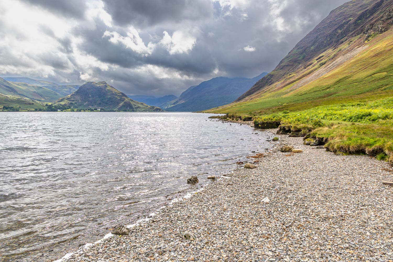
Just beyond the end of this beach I turn right and climb gently uphill...
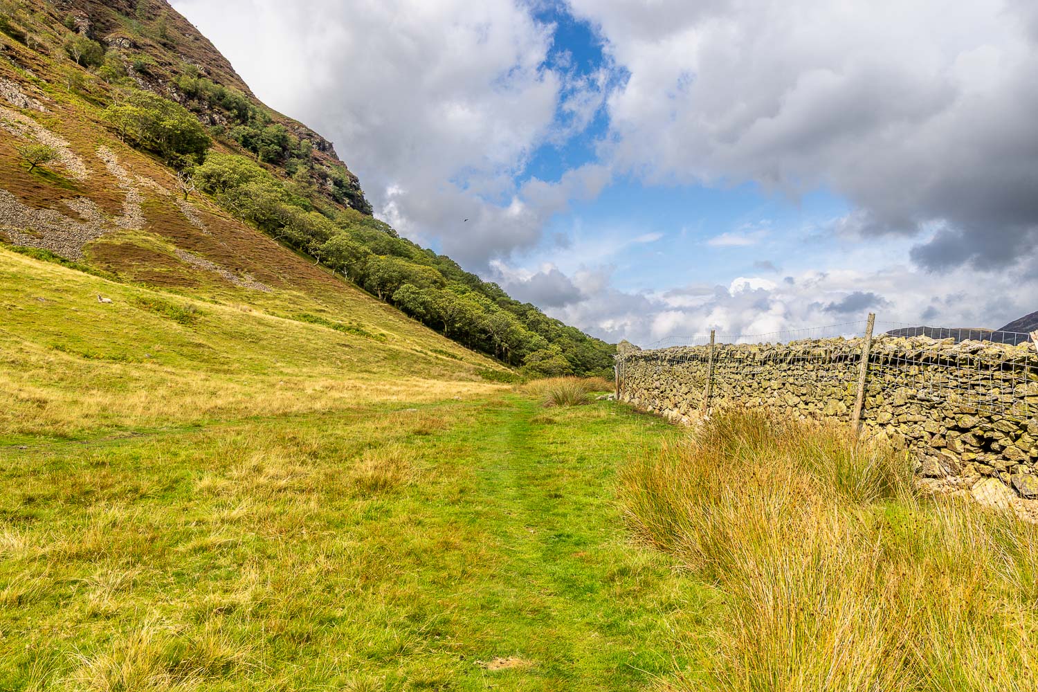
I walk below the lower slopes of Mellbreak
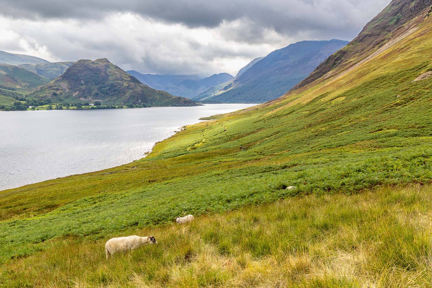
A final view back along Crummock Water before I head inland
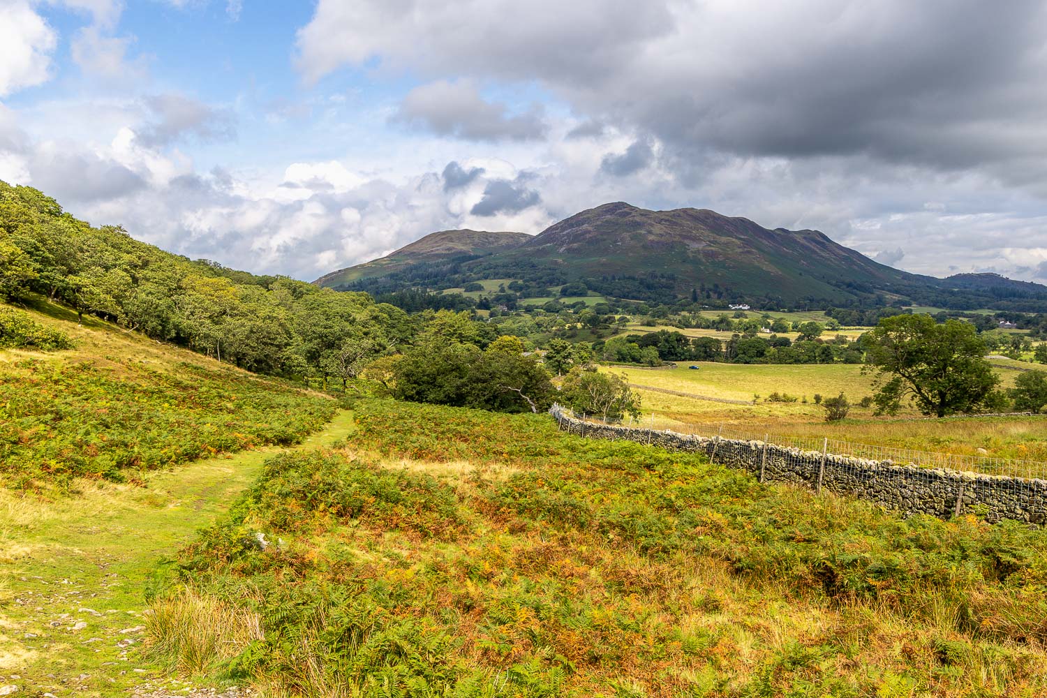
Another favourite place in the distance - Low Fell
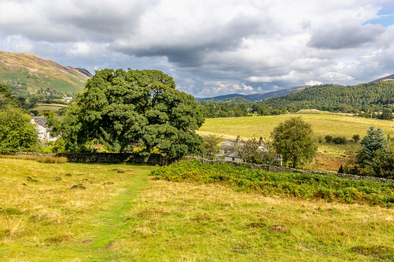
I fork right here into the hamlet of Highpark
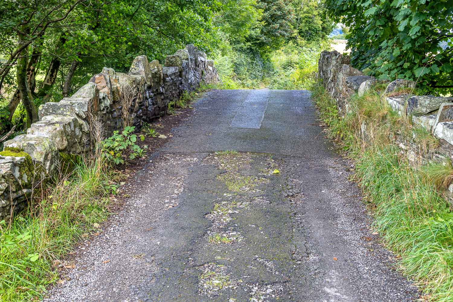
I cross Park Bridge and follow the quiet lane towards Muncaster House
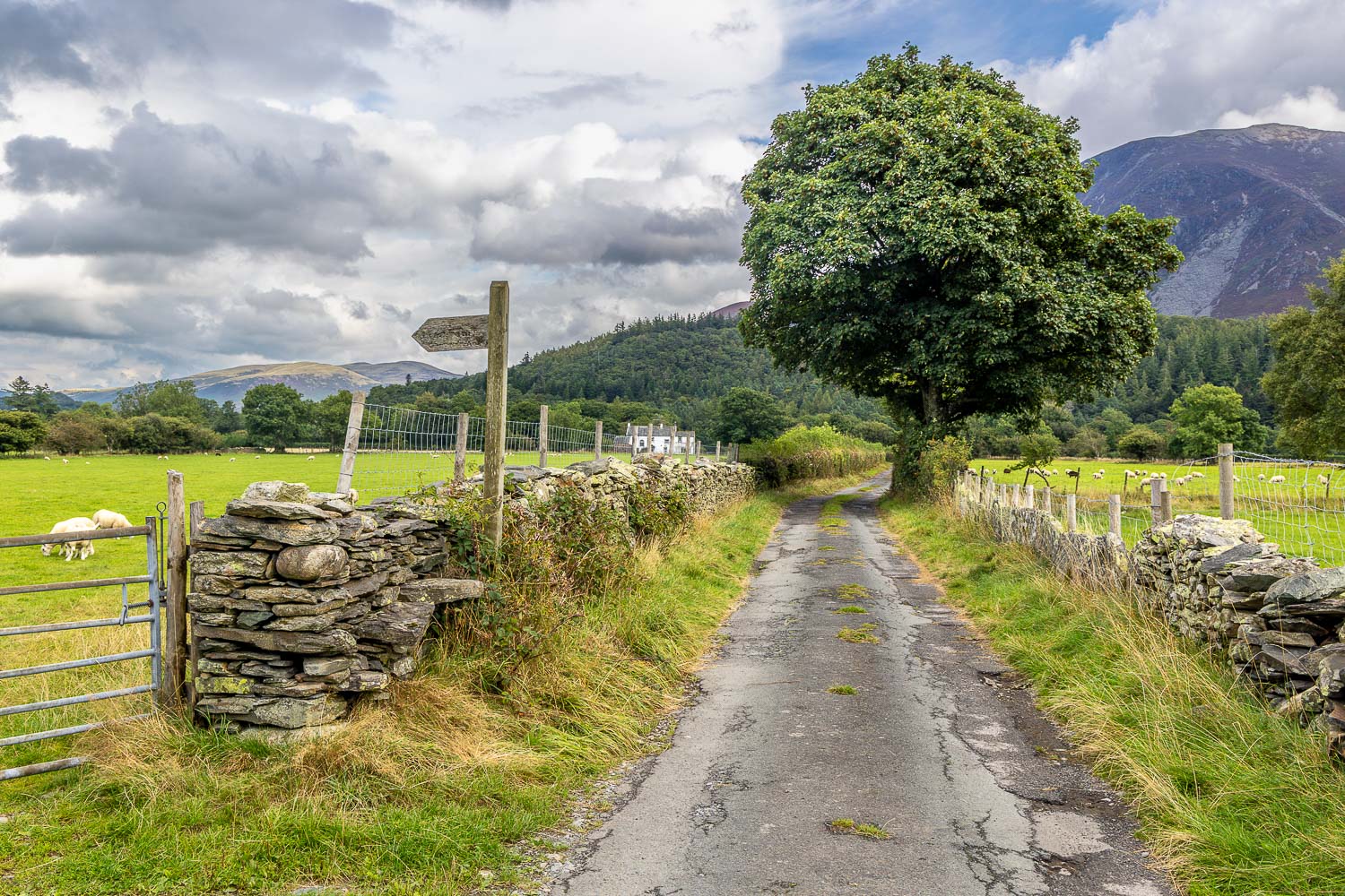
Whiteside on the right as I continue along the lane
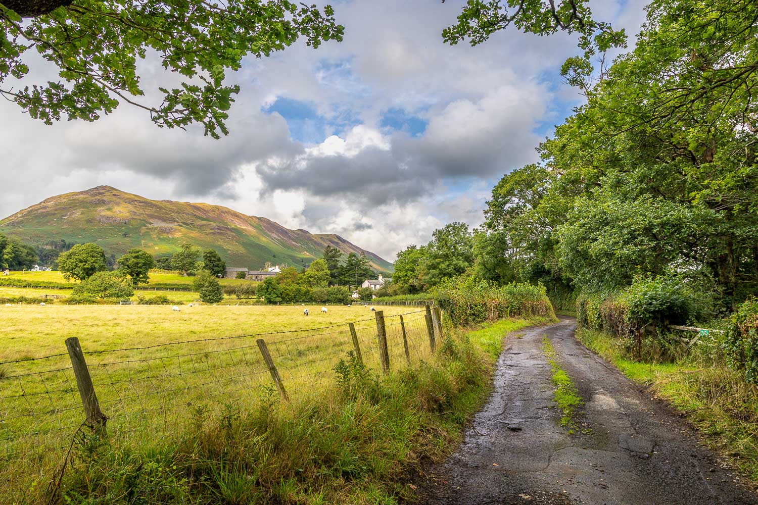
Low Fell again
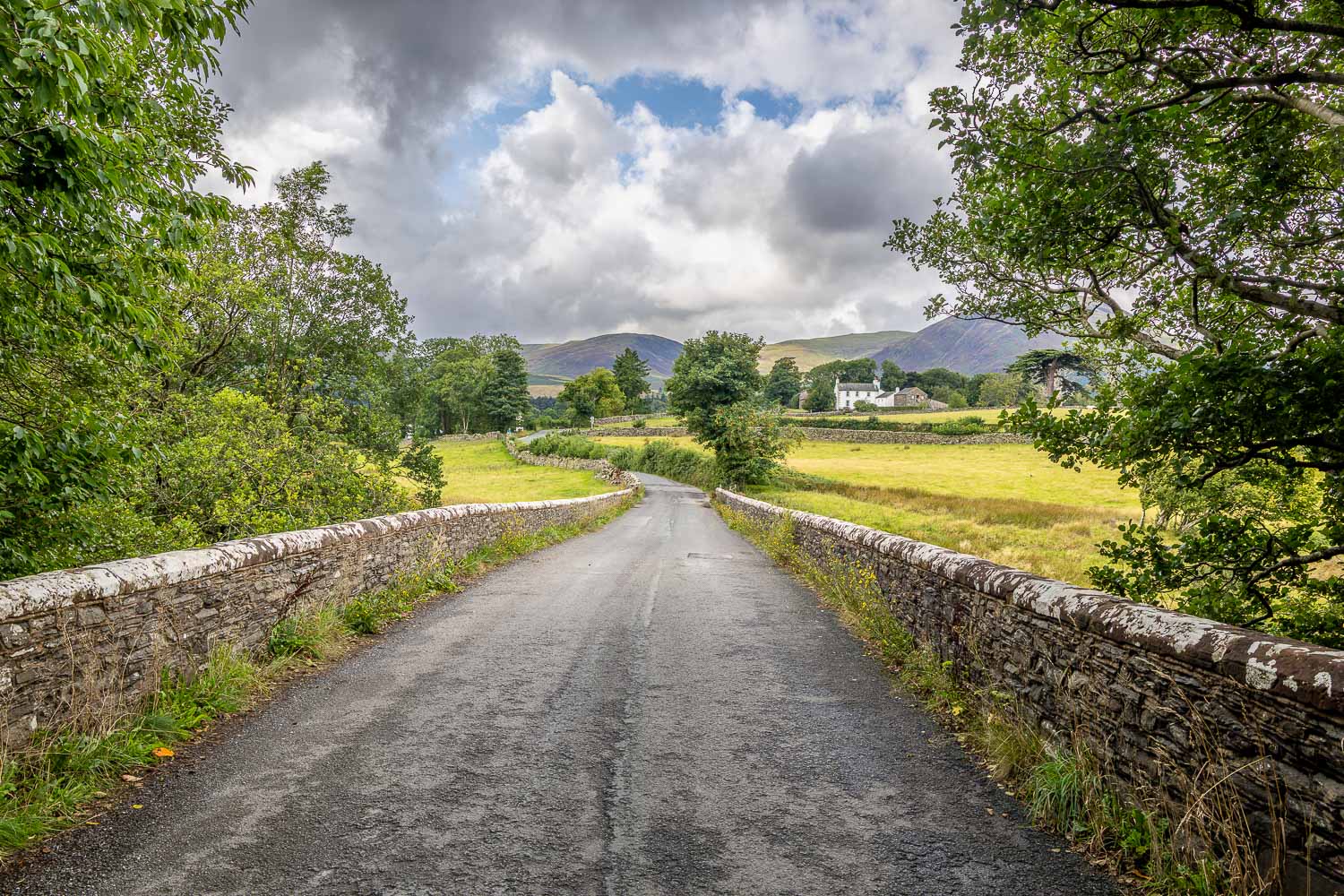
Looking back across Scale Hill Bridge at the end of a wonderful walk around the foot of Crummock Water