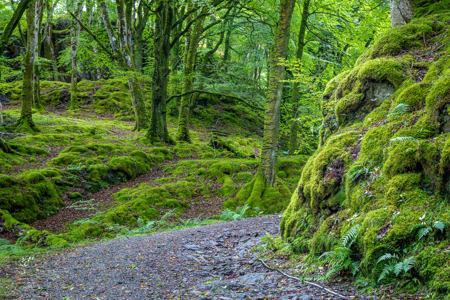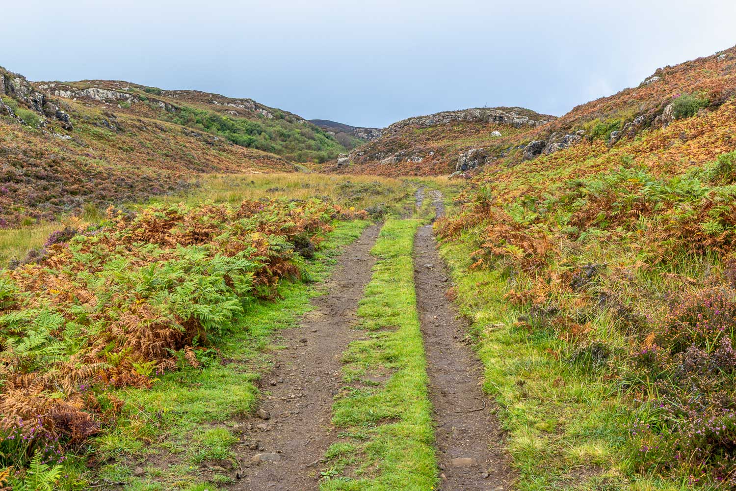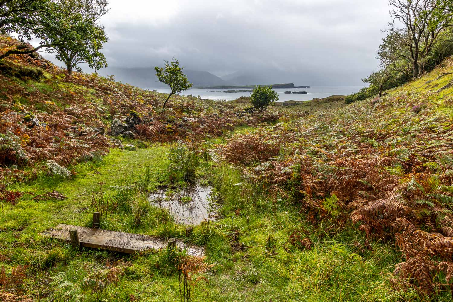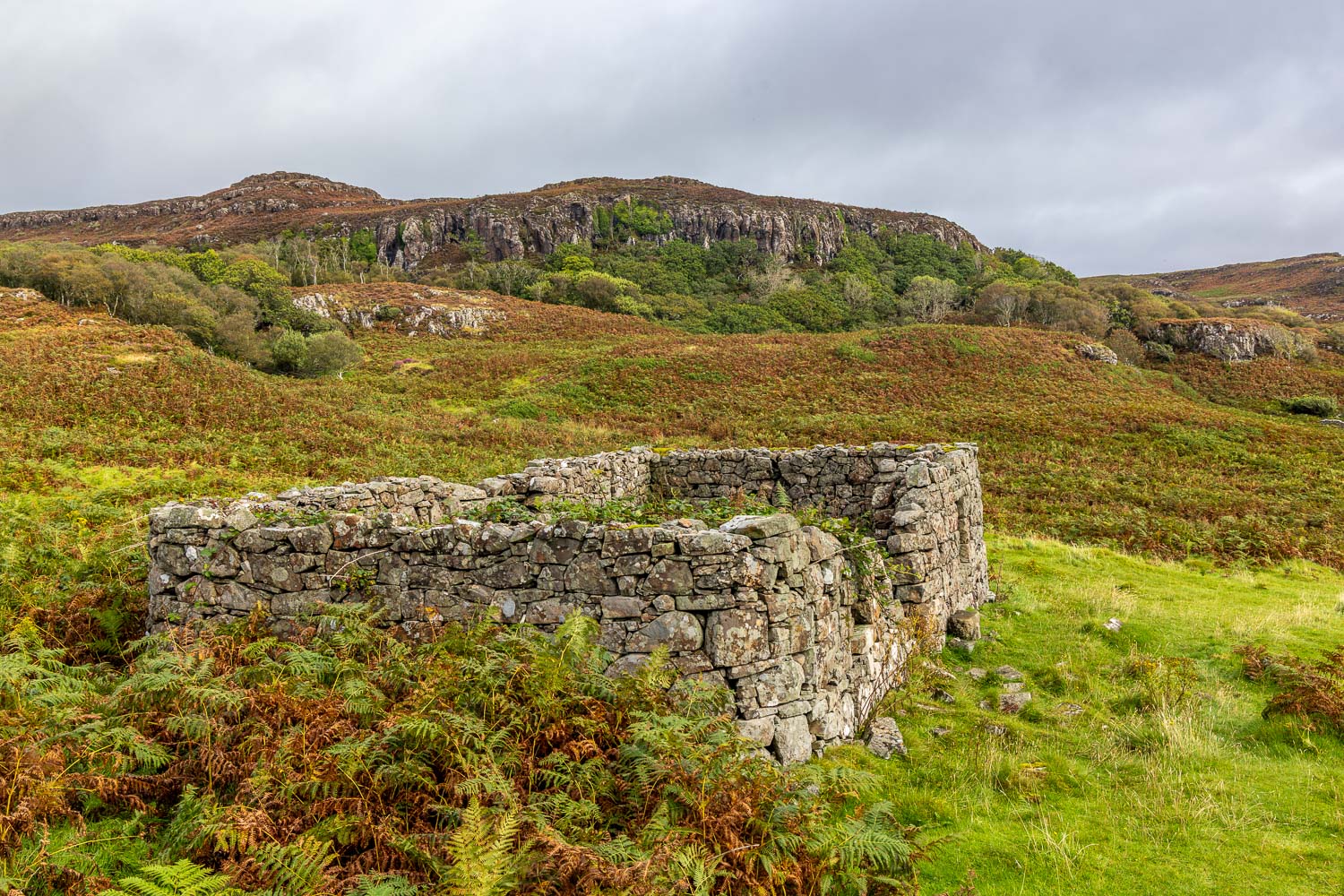
Anglesey Abbey

Anglesey Abbey

Route: Anglesey Abbey

Area: Cambridgeshire

Date of walk: 10th November 2026

Walkers: Andrew and Gilly

Distance:  3.0 miles

Ascent:  nil

Weather: Weak sun

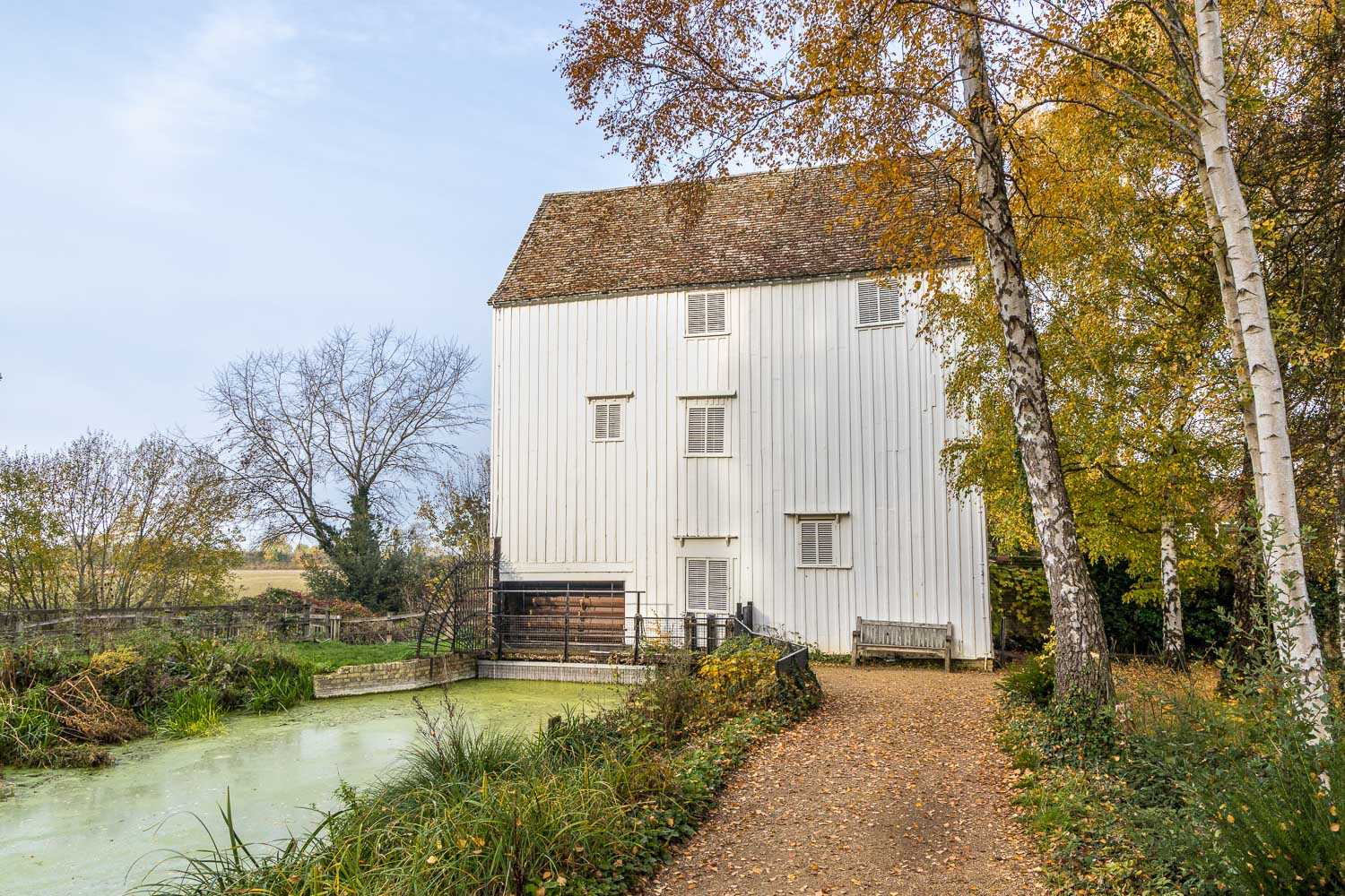
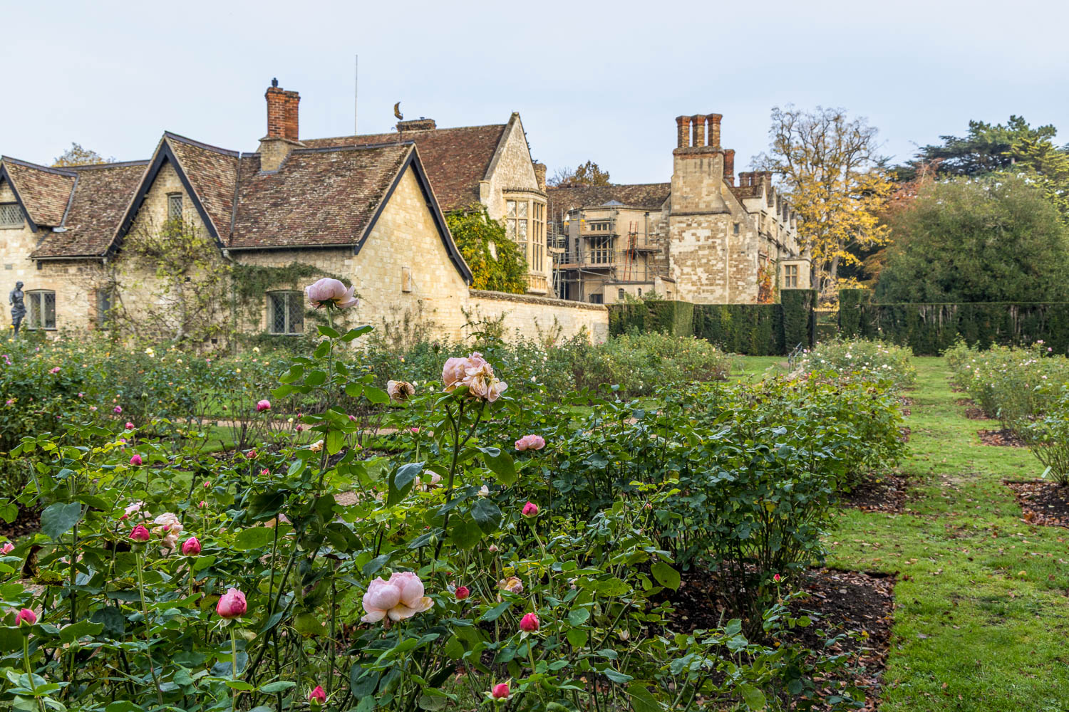
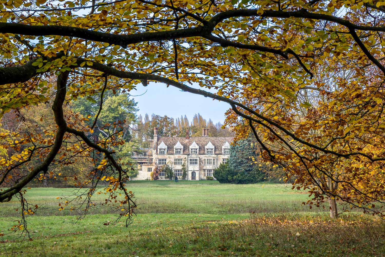
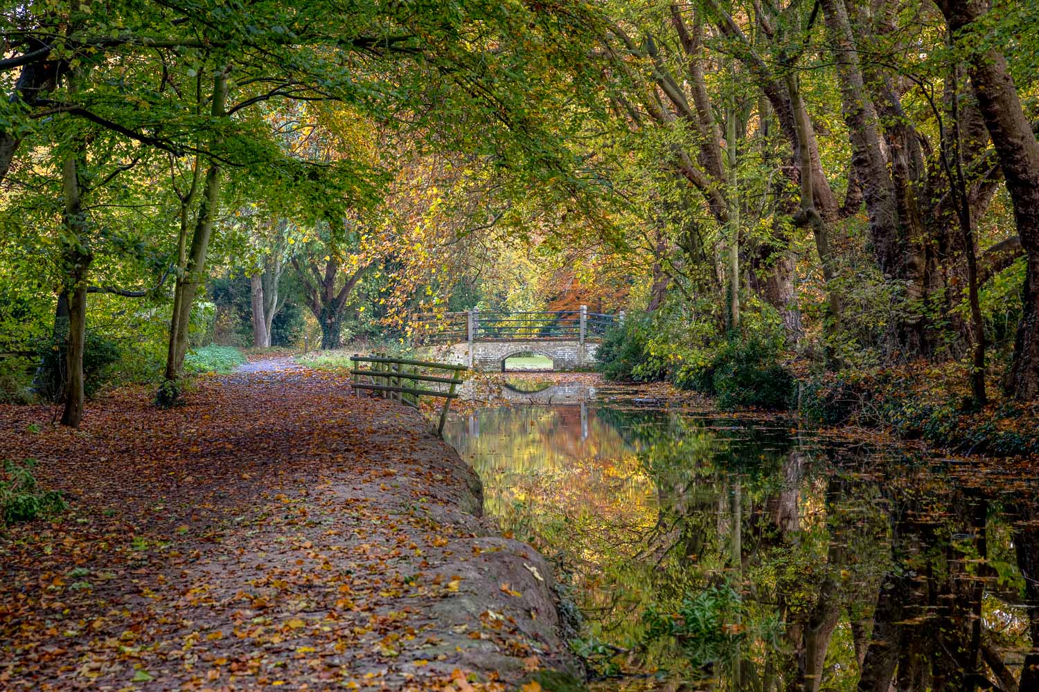
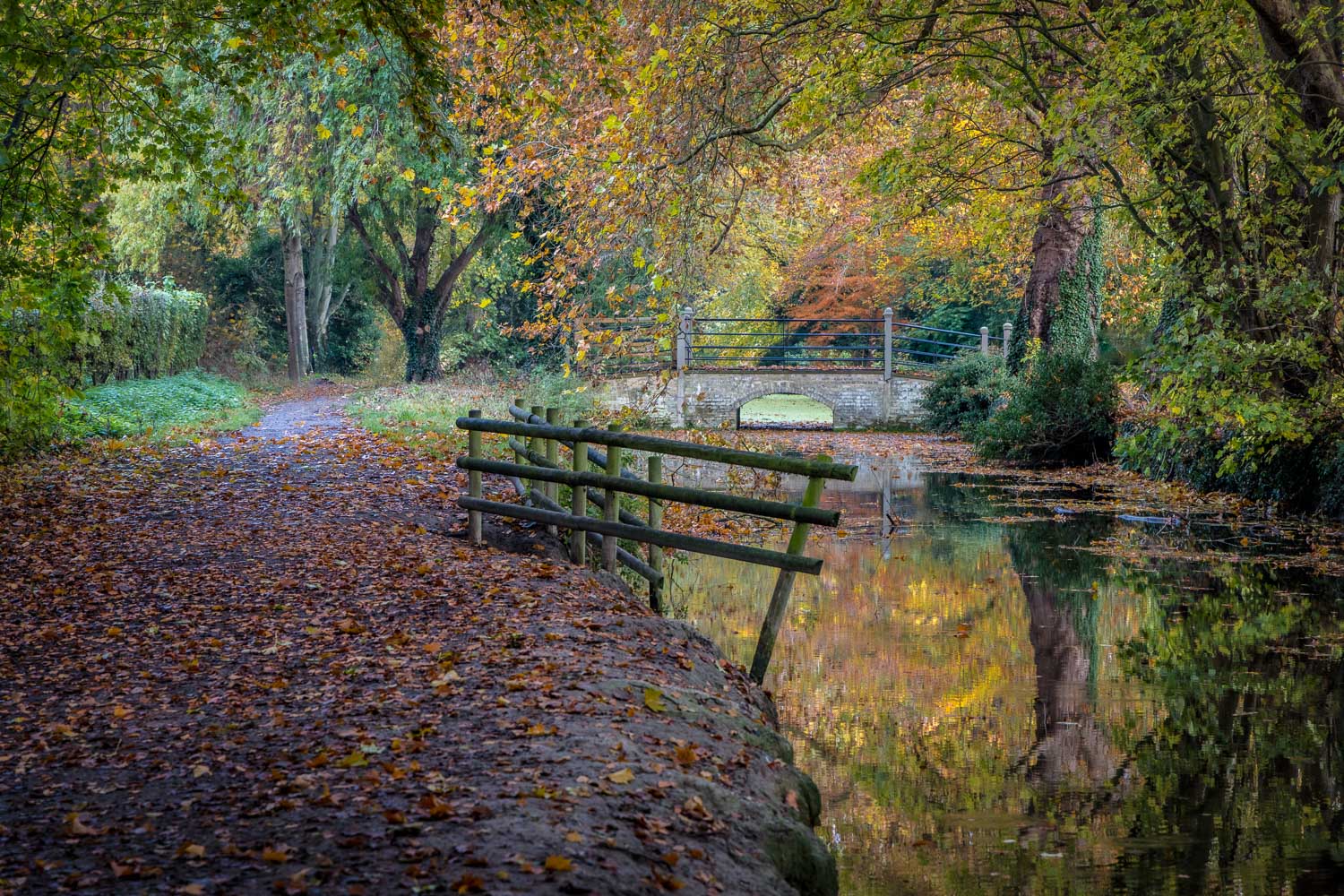
Earlier in the day, we enjoyed a delightful walk visiting Quy Fen and Quy Water. Our starting point had been the National Trust car park at Anglesey Abbey, and we were able to leave the car in the same place for our next walk, a visit to the garden and grounds of the abbey

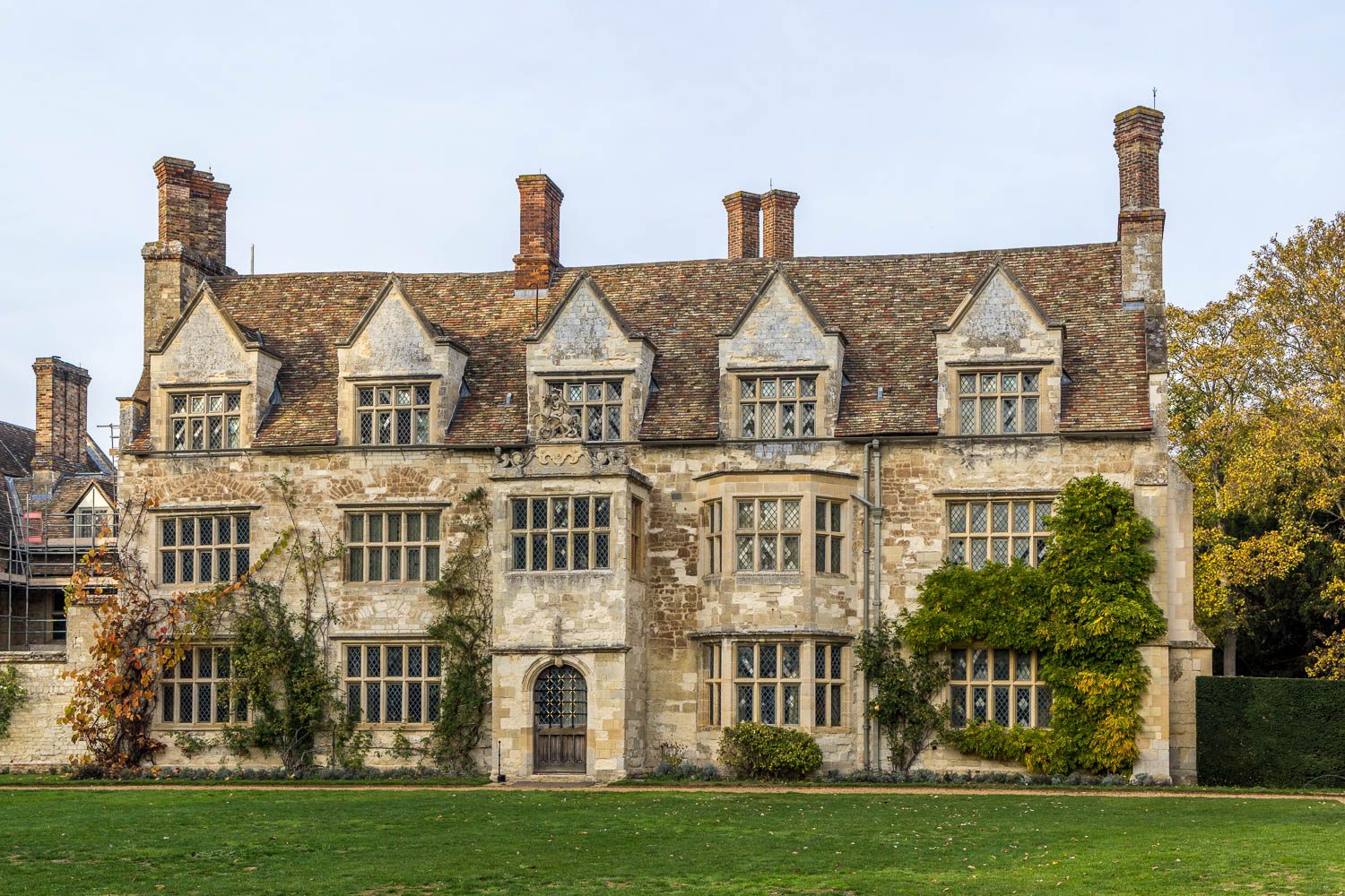
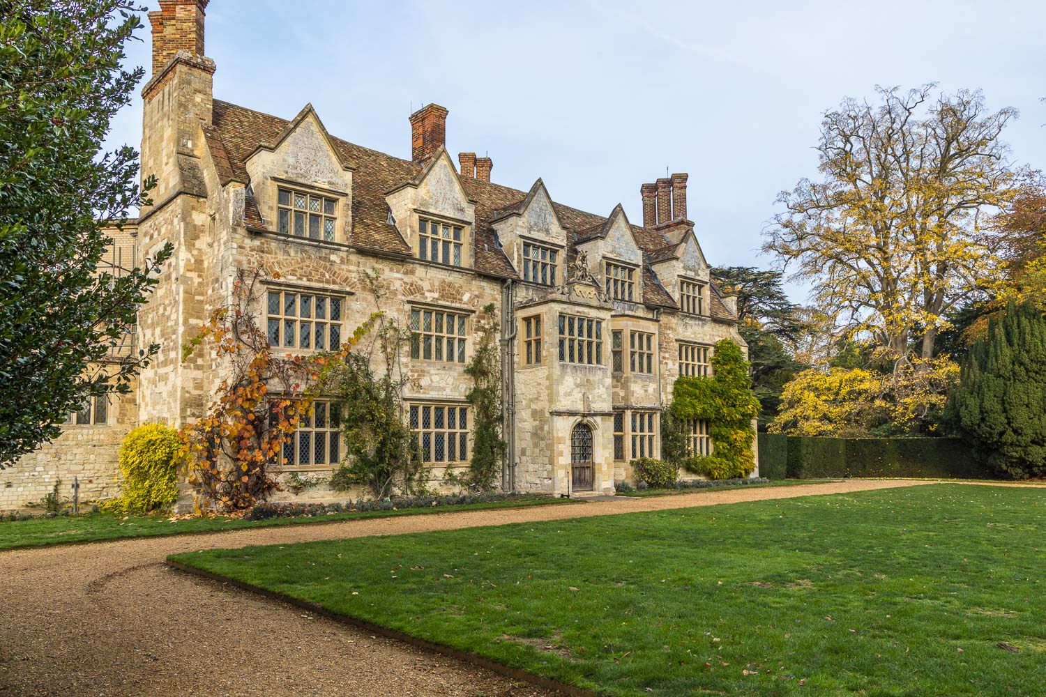
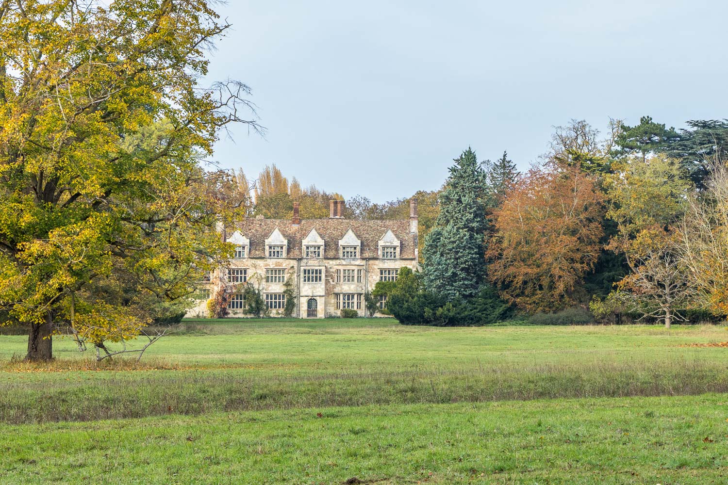
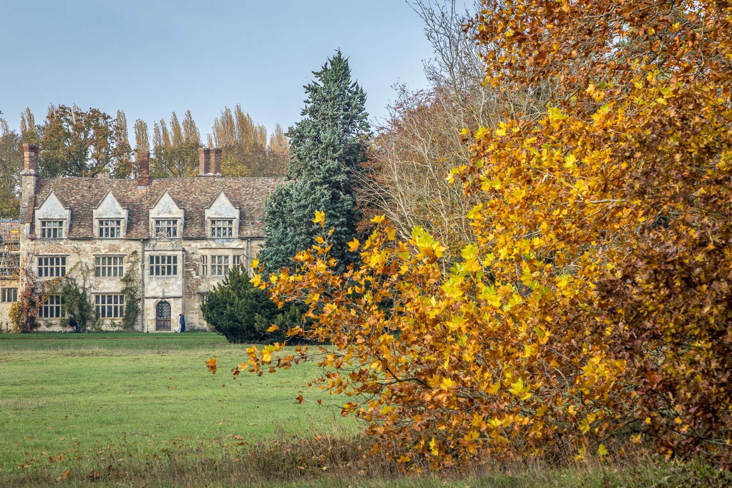
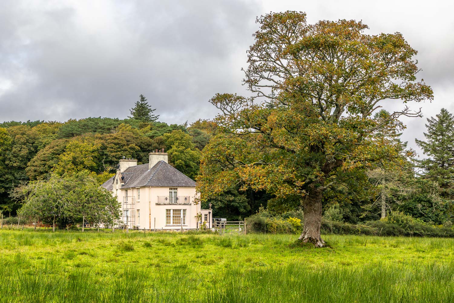
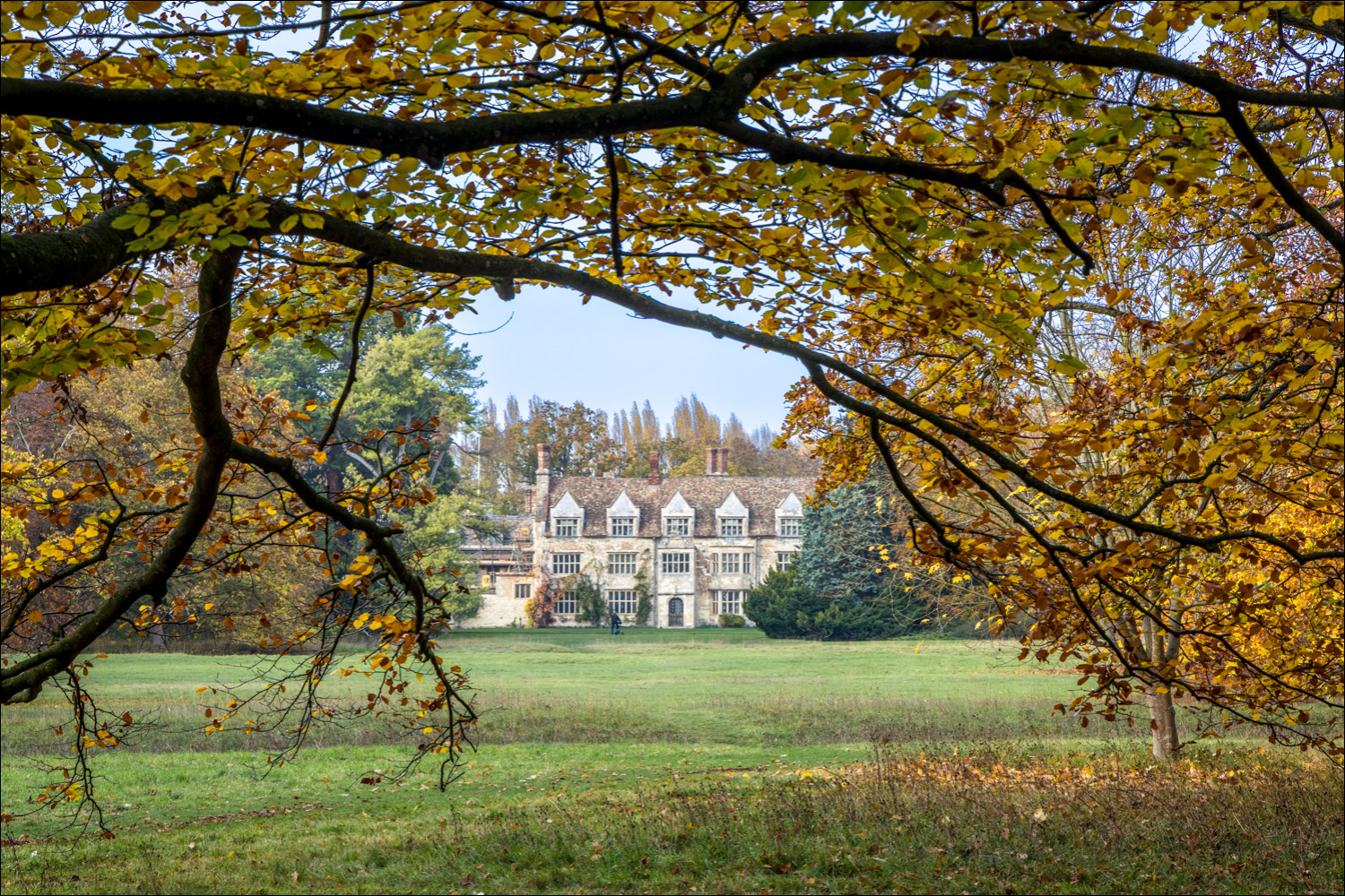
Despite its name, the building has never been an abbey. Its history  began around 1135 as a hospital of St. Mary before becoming an Augustinian priory which was dissolved by Henry VIII. A Jacobean-style house was built using parts of the old priory ruins around 1600 and the site was given the grander-sounding name “Anglesey Abbey” in the 19th century by a later owner. During the 20th century the property was improved by Lord Fairhaven and contains numerous treasures, none of which we could see today as the interior was closed while Christmas decorations were being prepared. We were already aware that this would be the case and were well content to explore to gardens, which extend over 100 acres

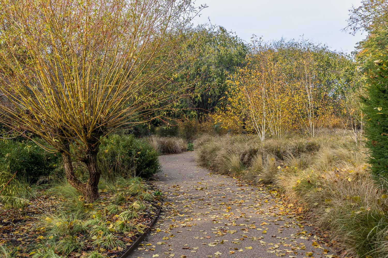
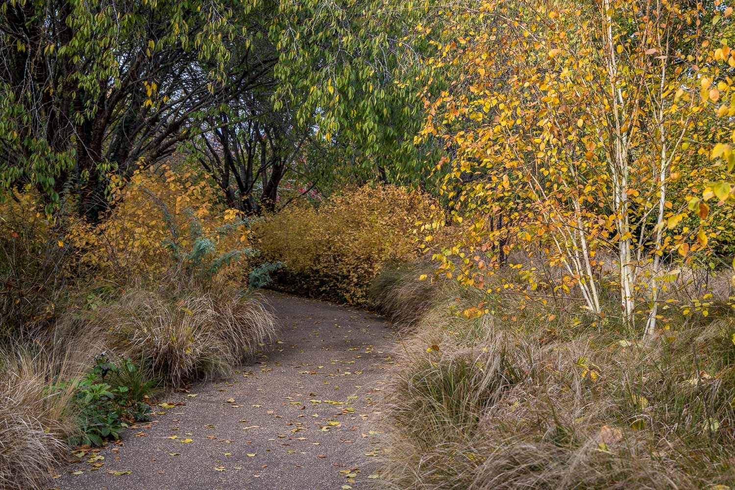
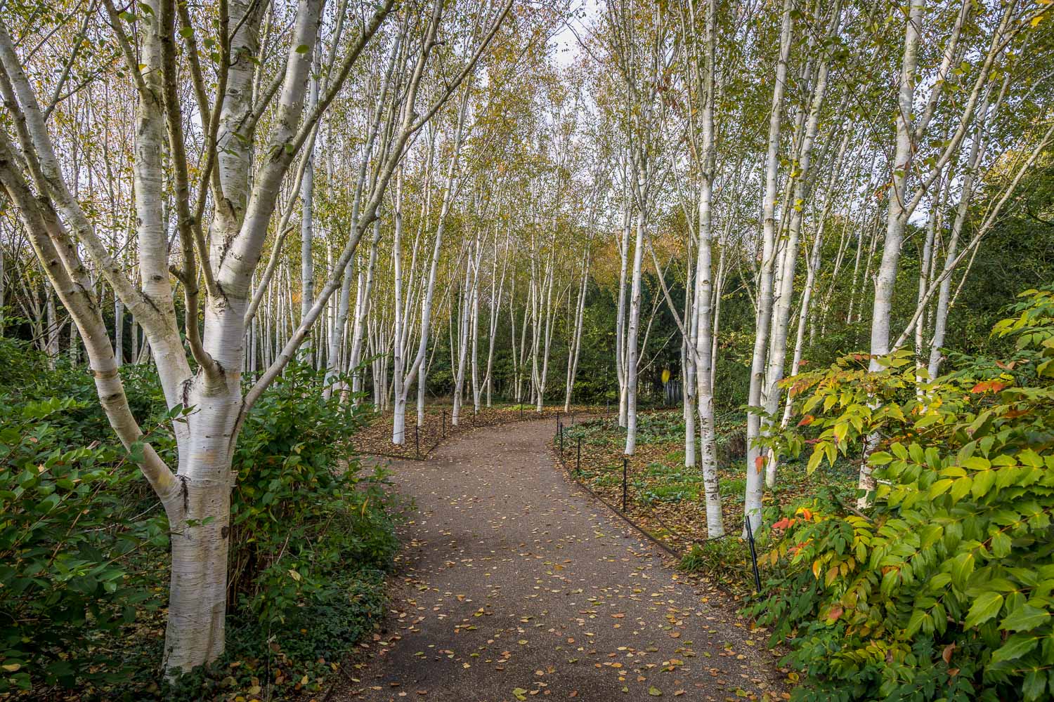
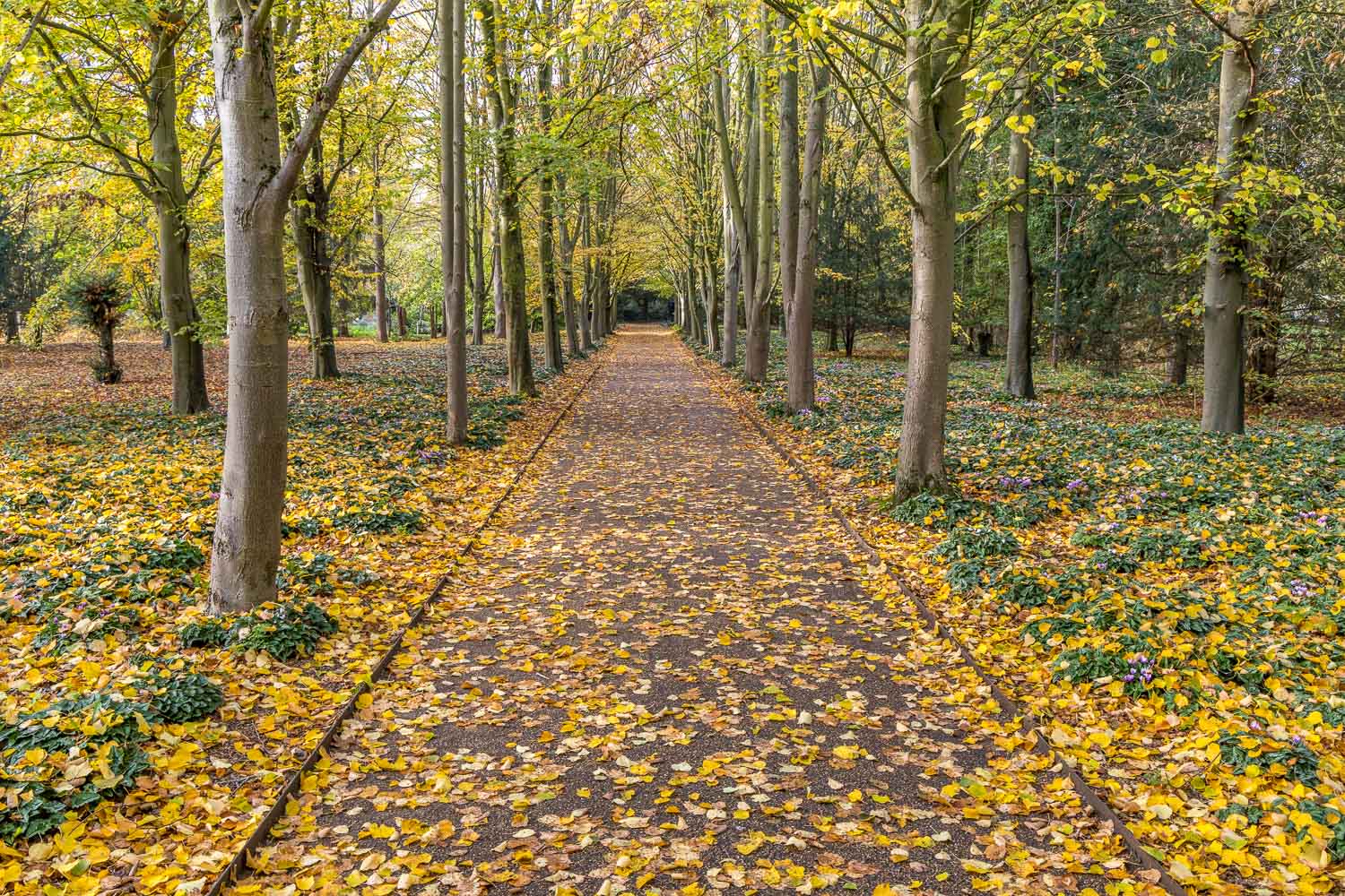
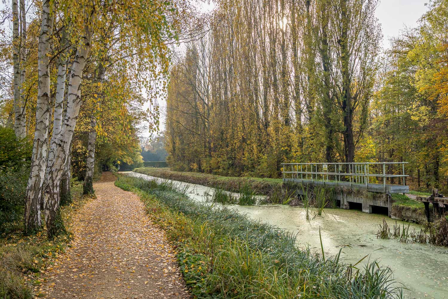
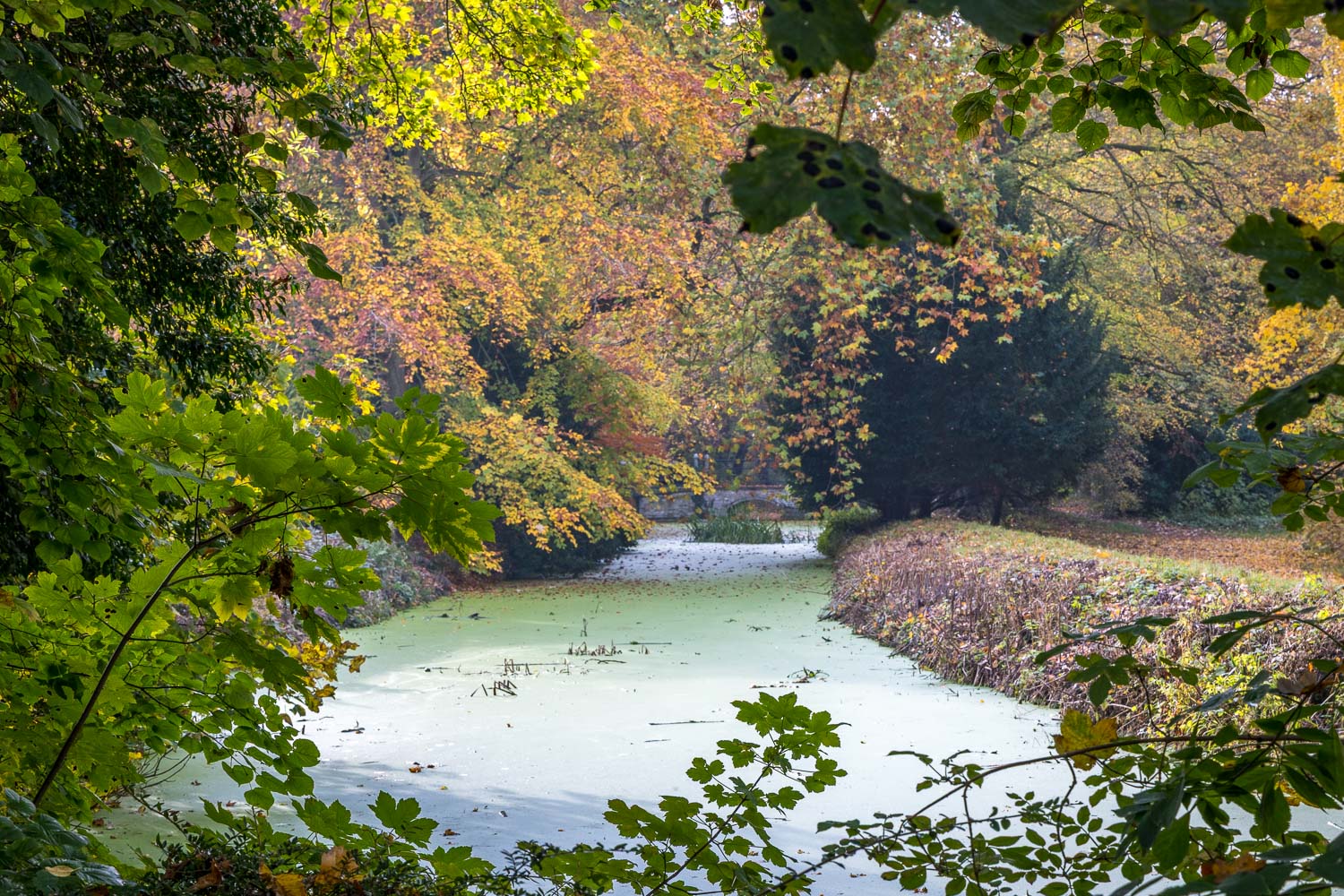
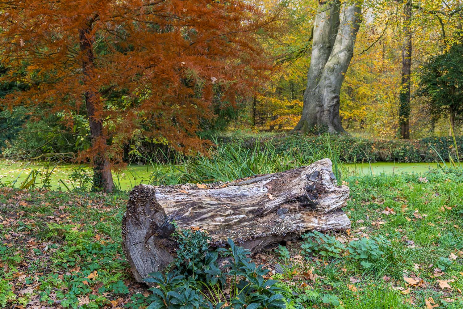
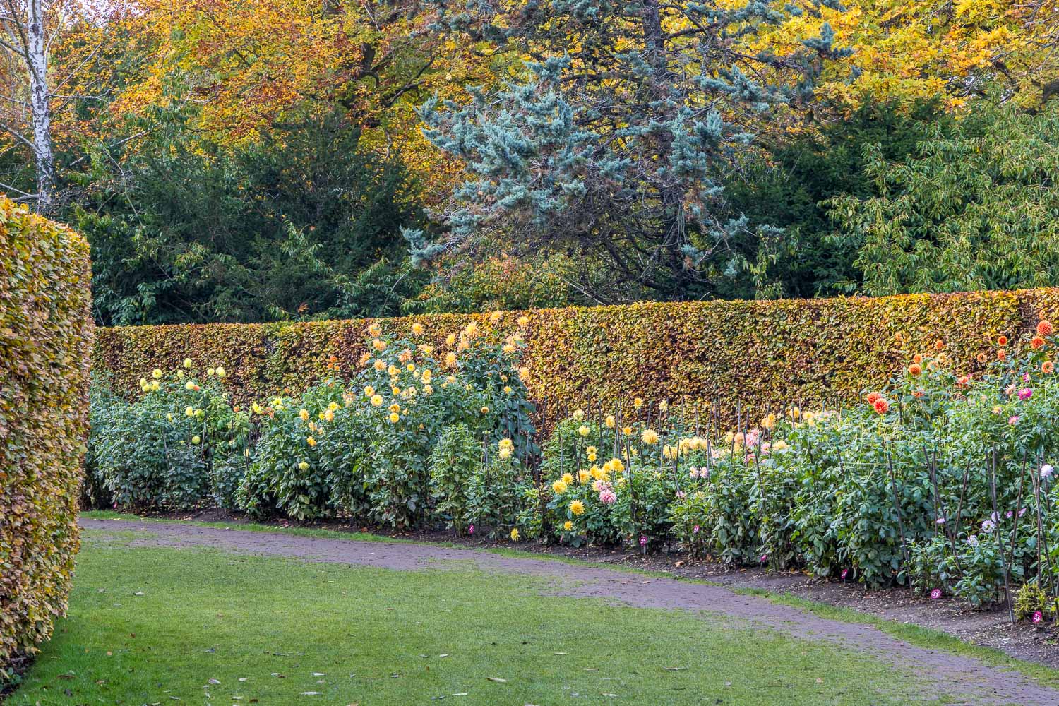
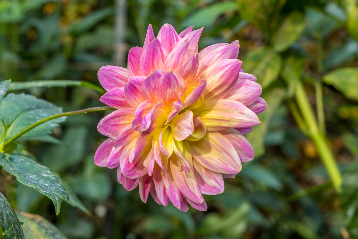
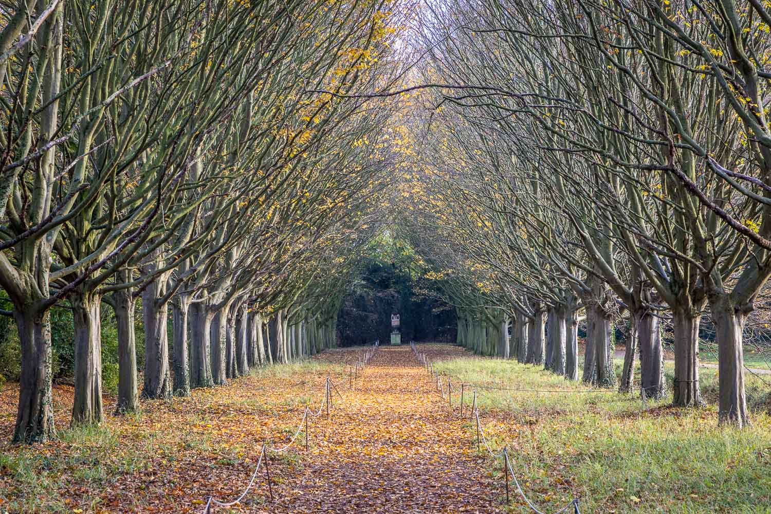
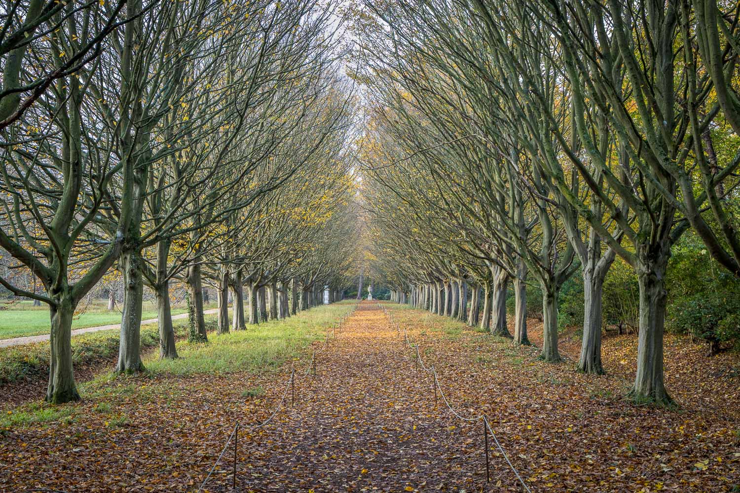
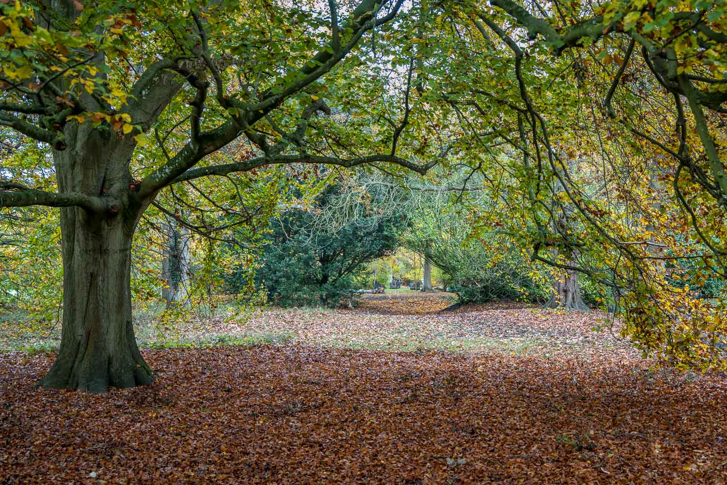
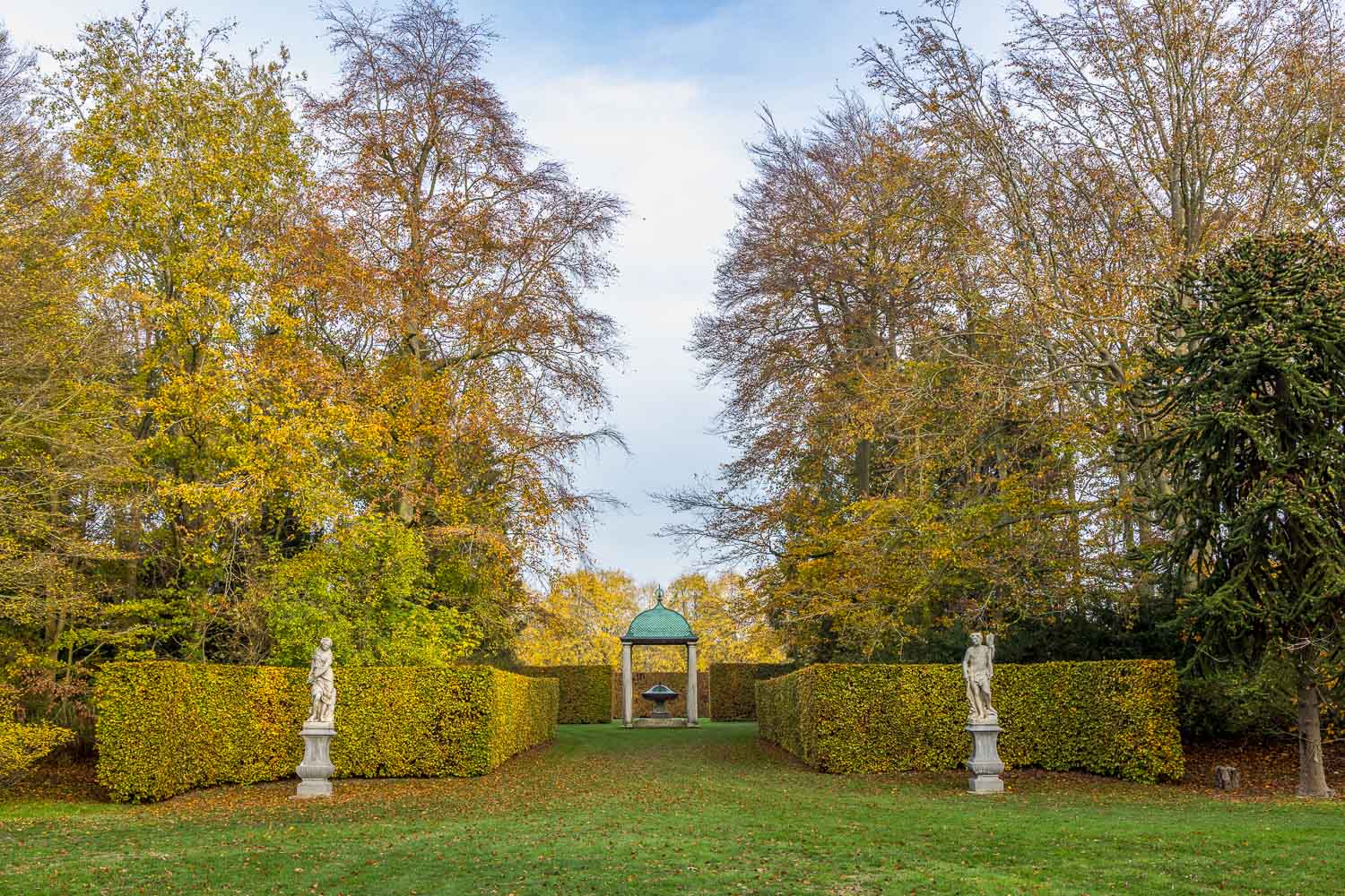
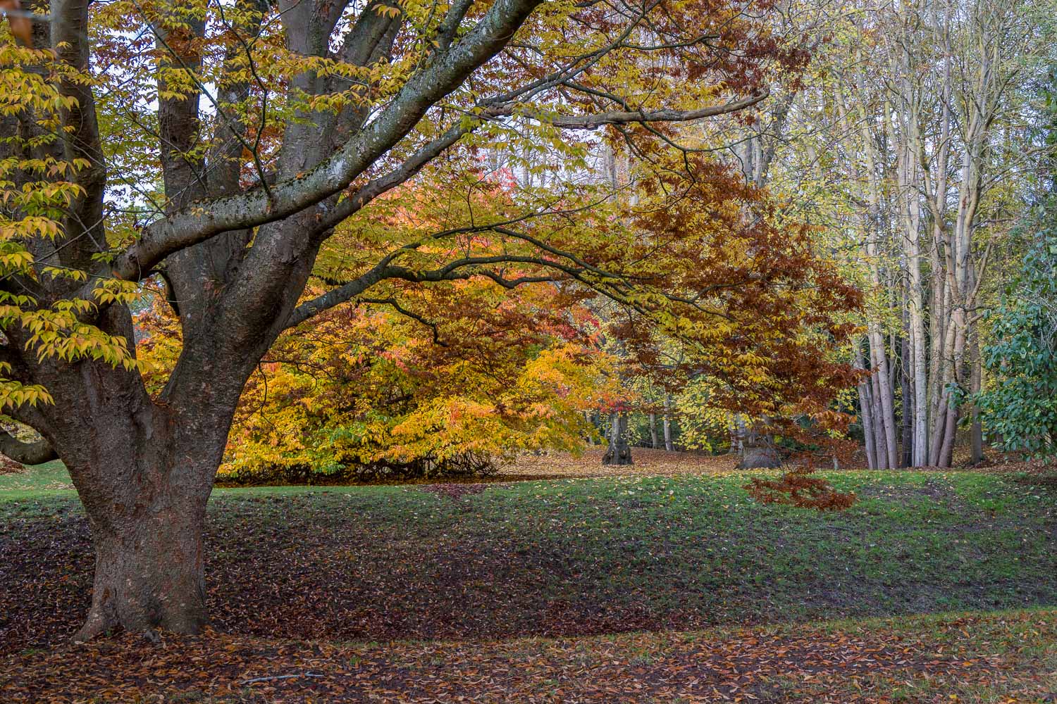
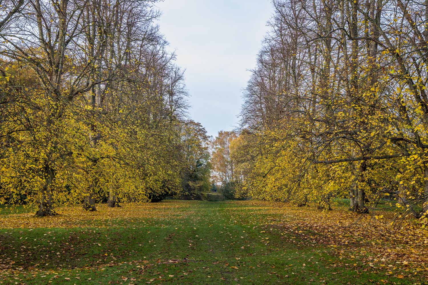
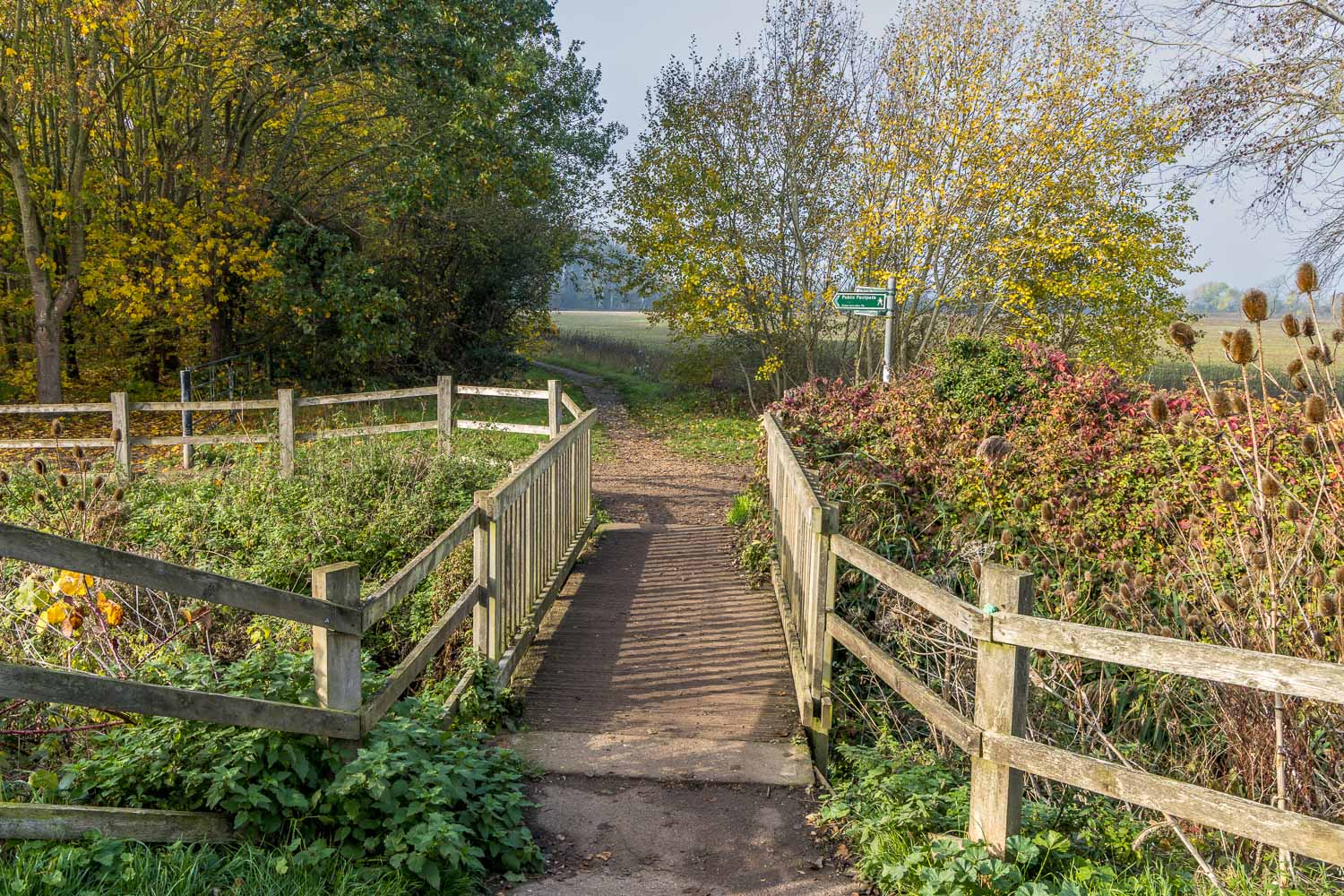
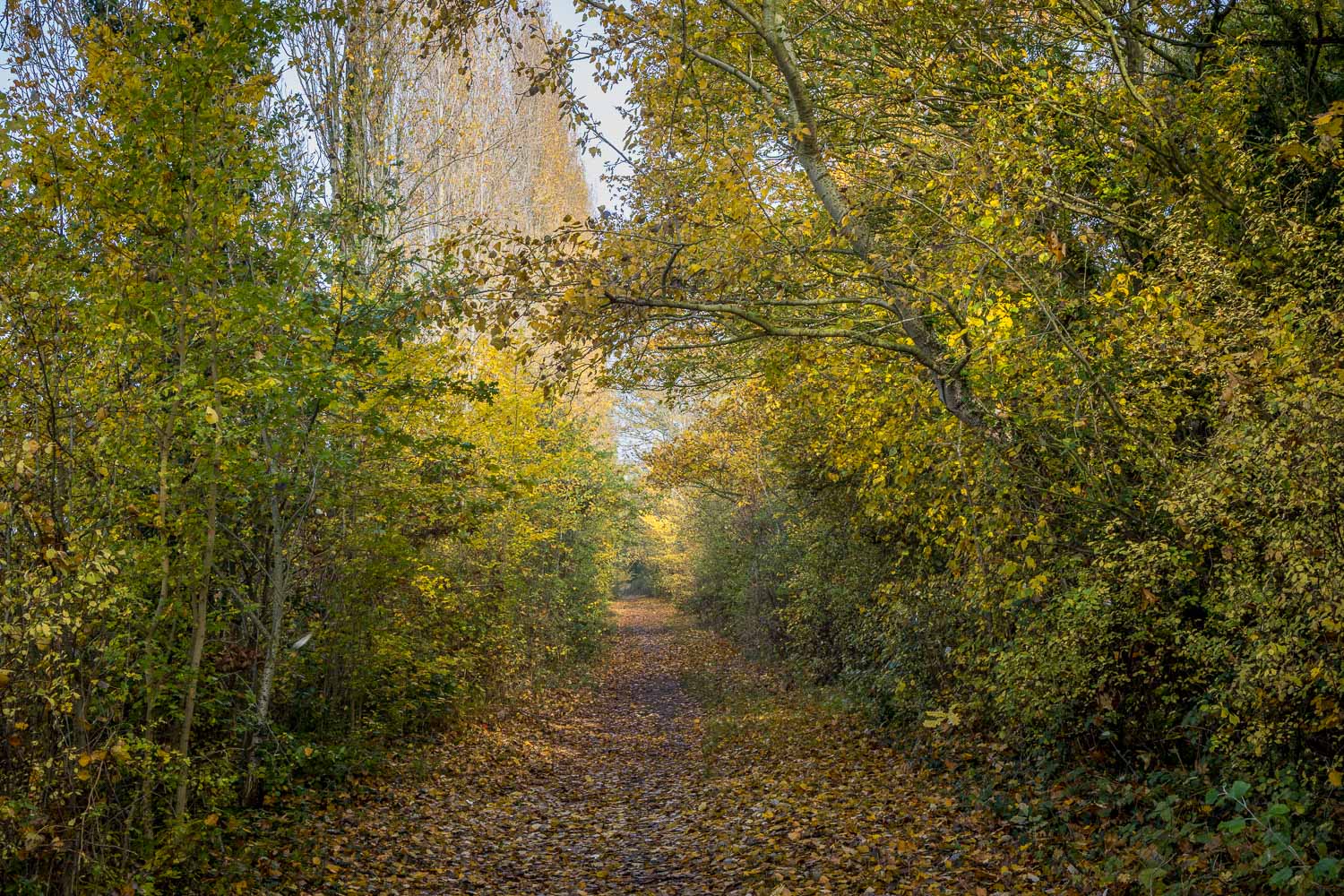
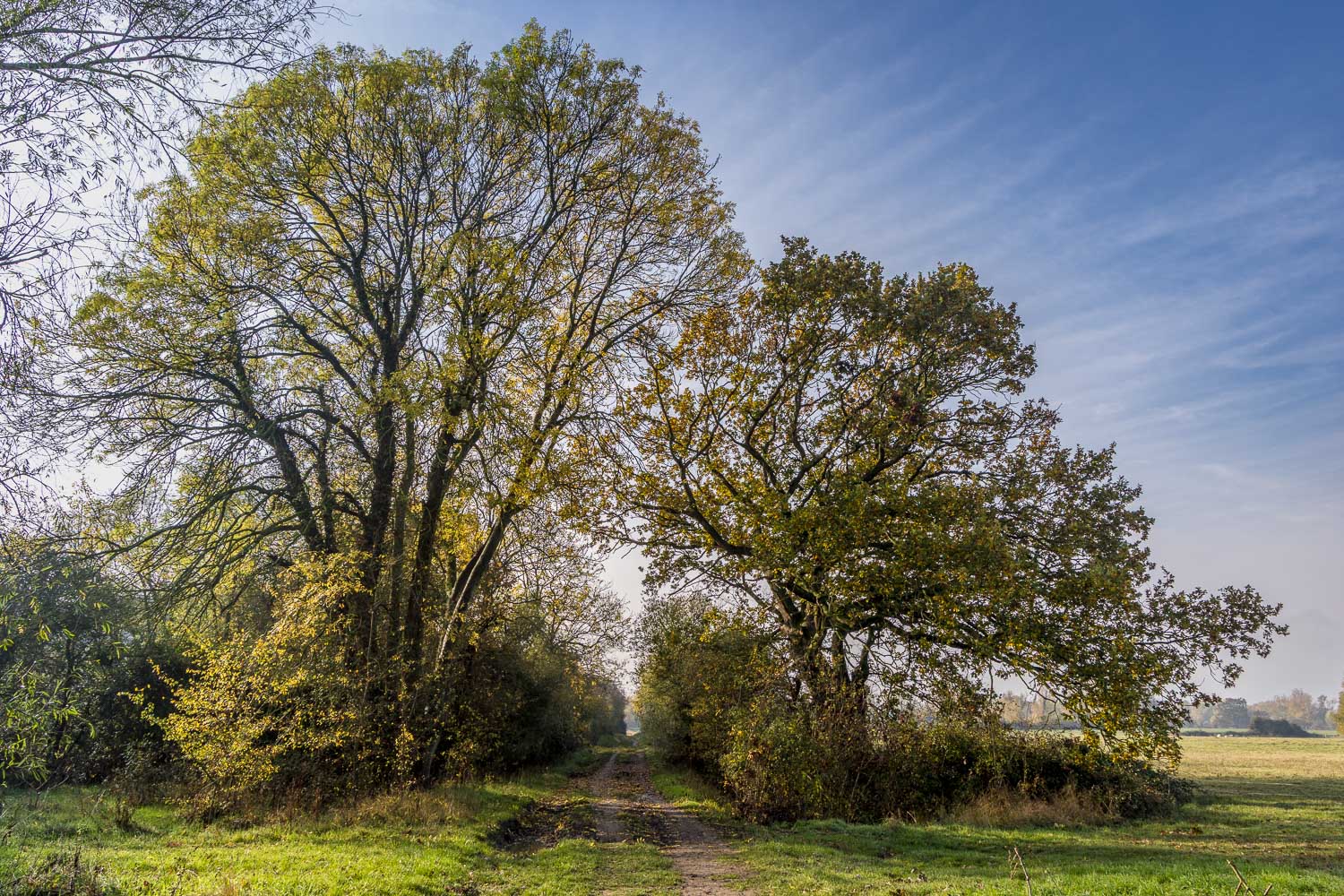
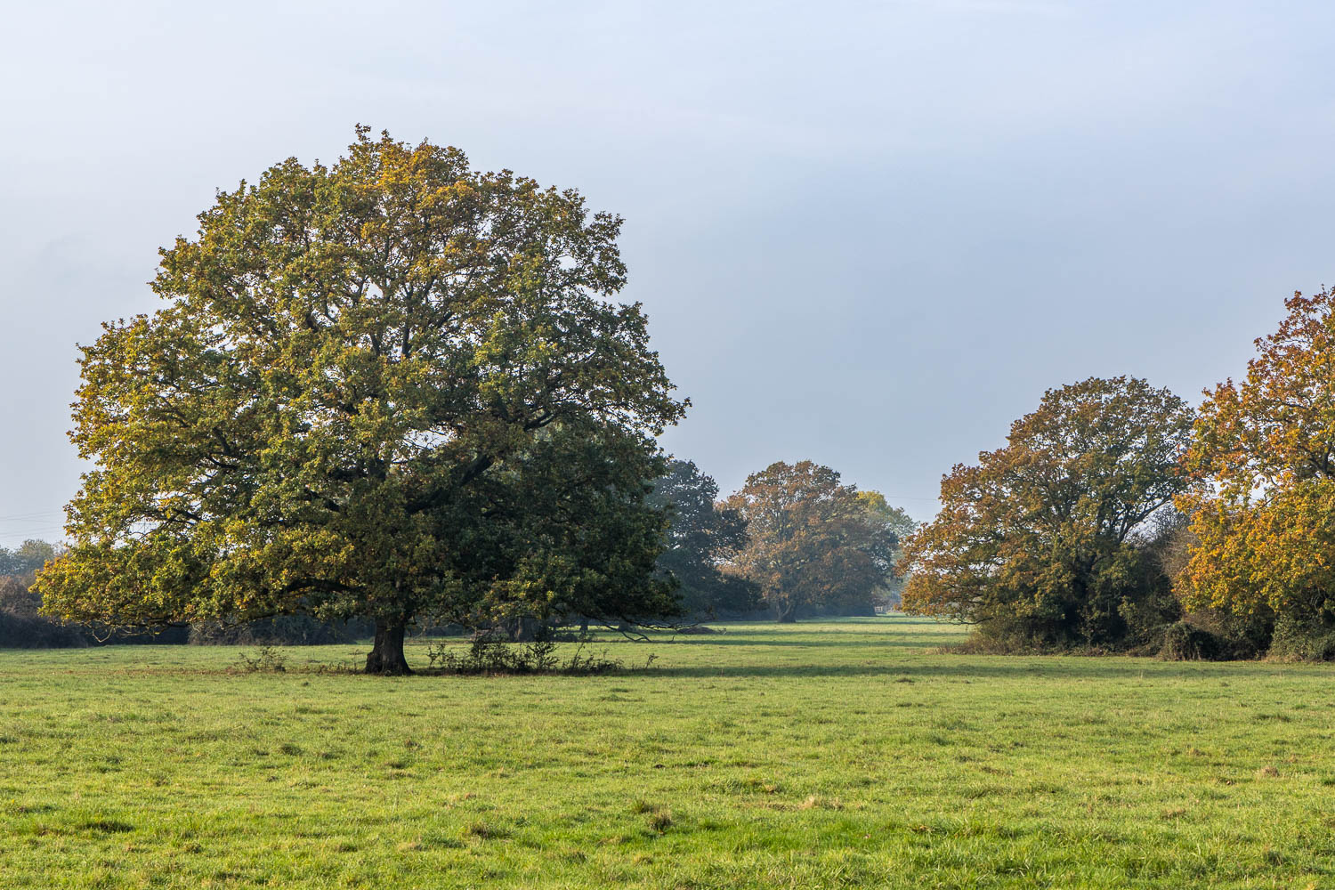
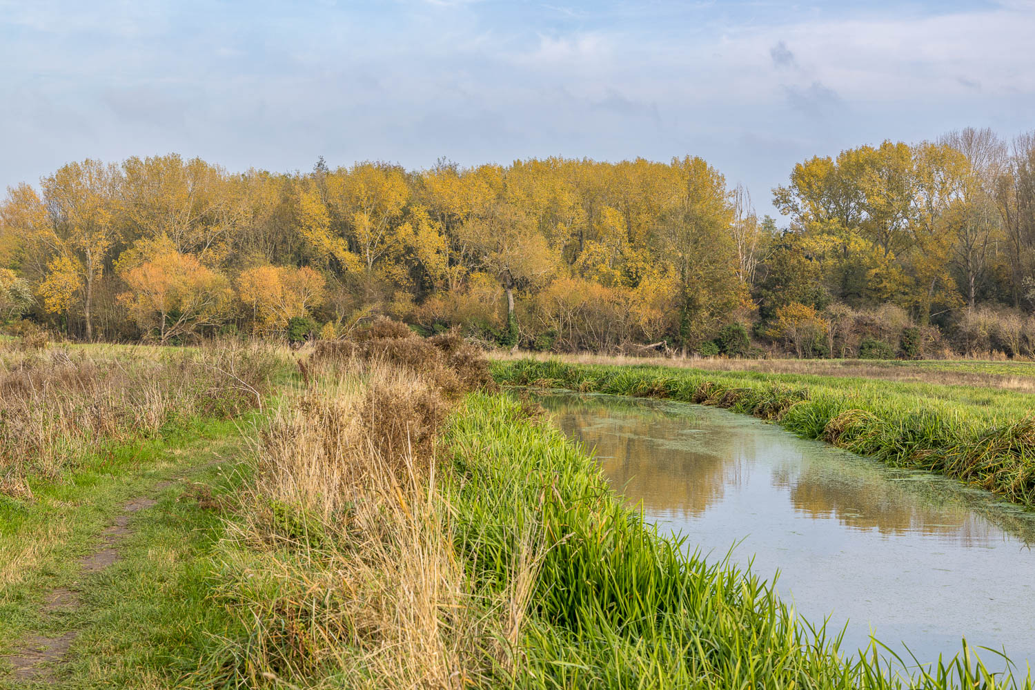
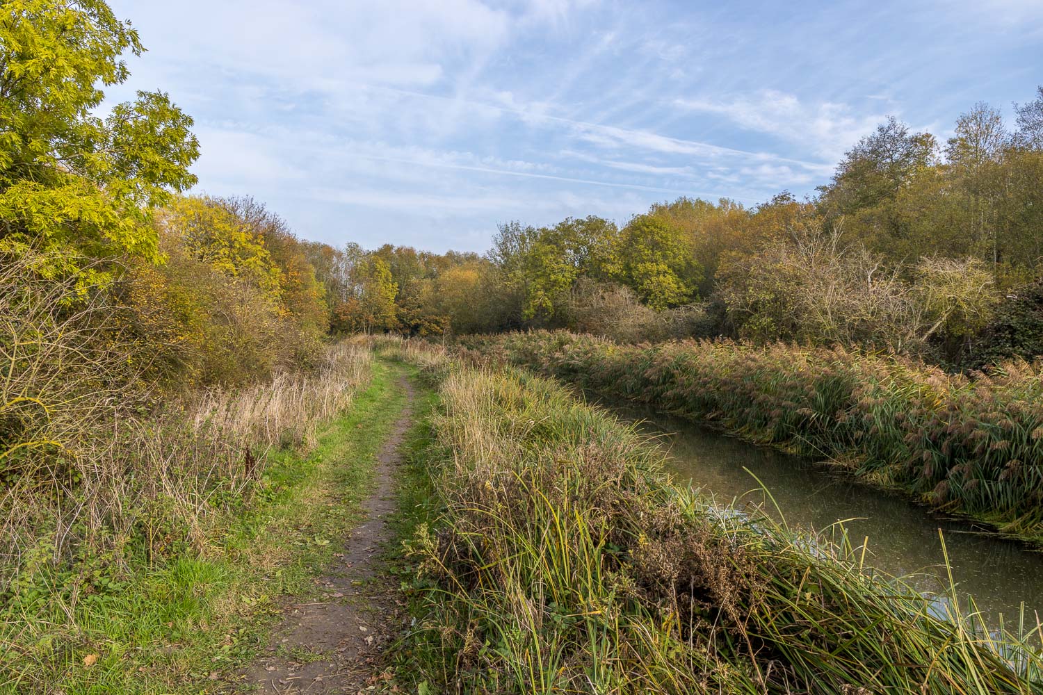
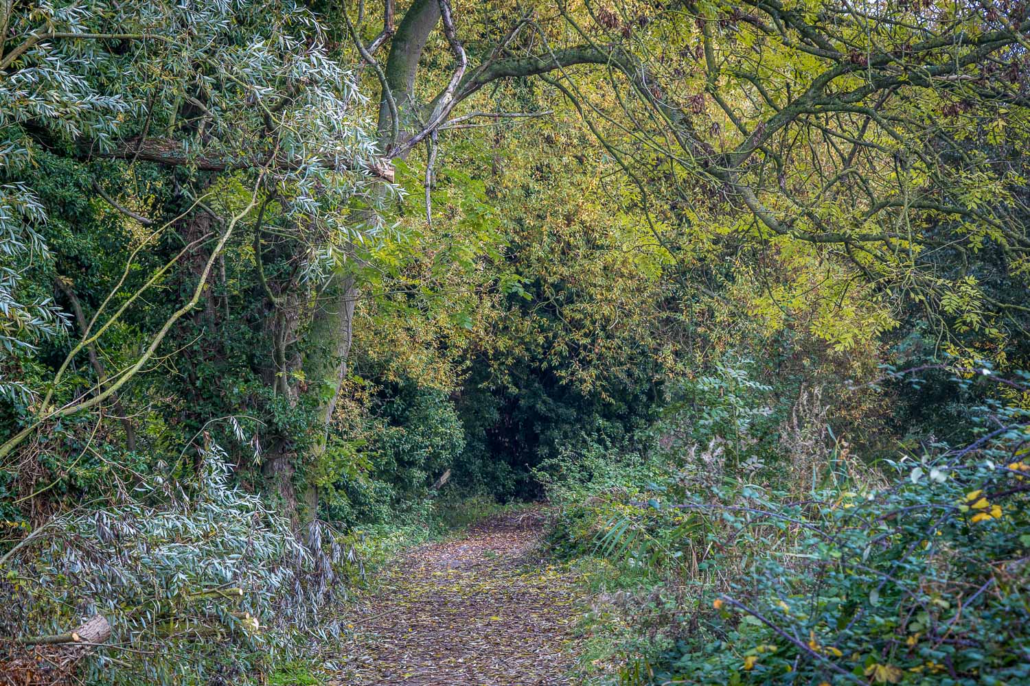
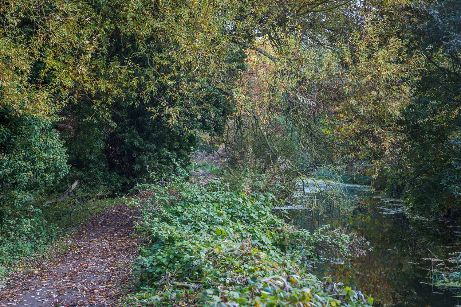
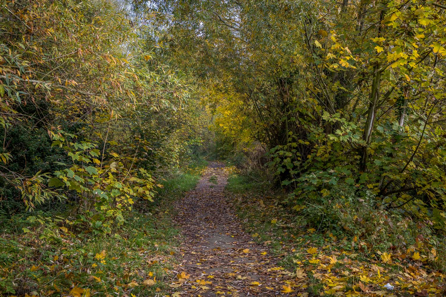
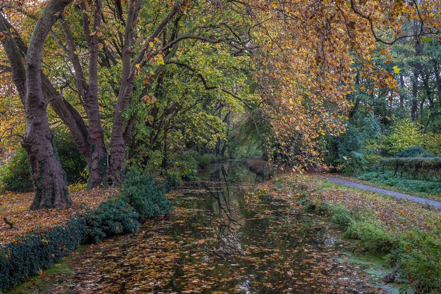
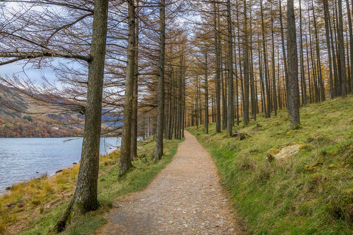
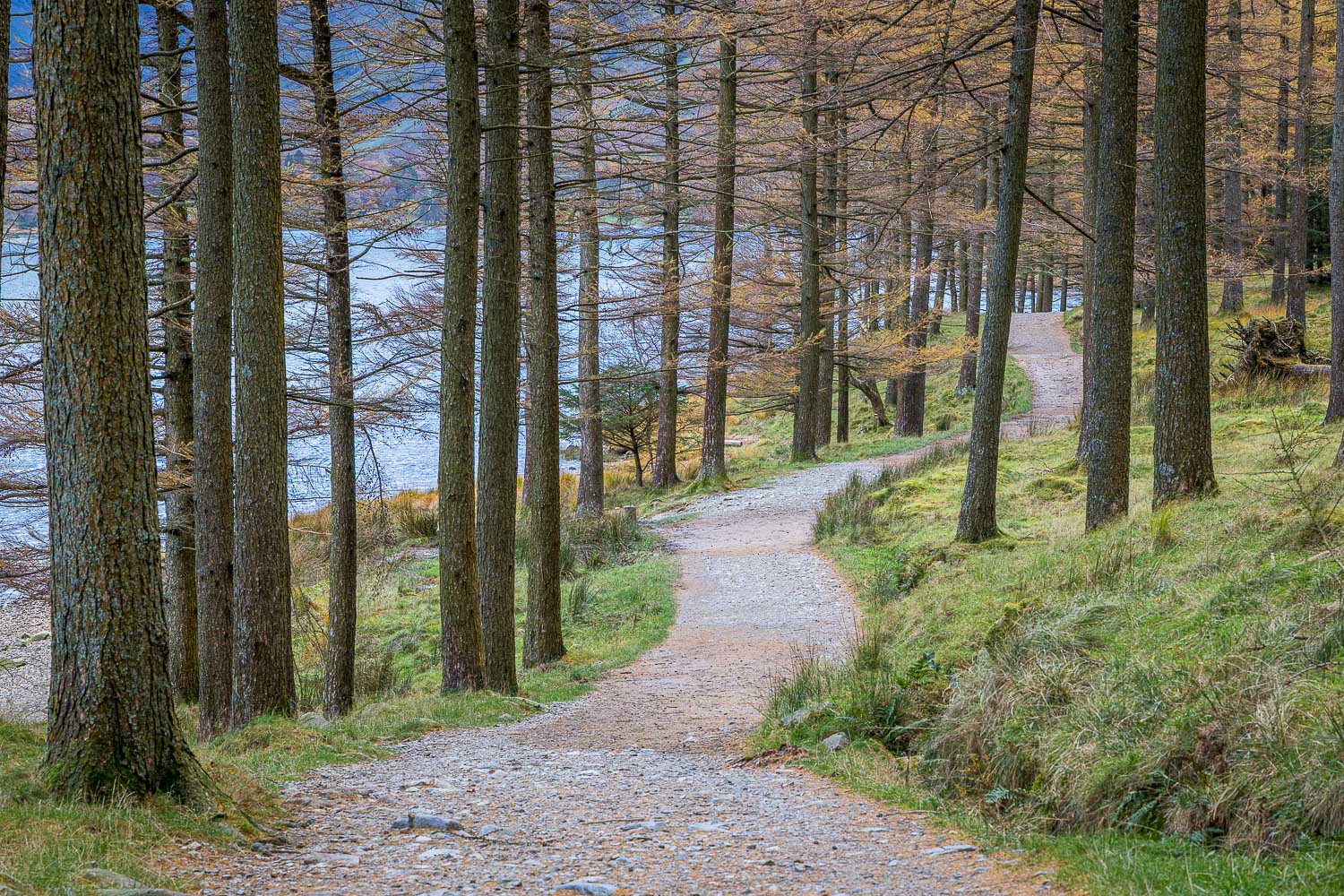
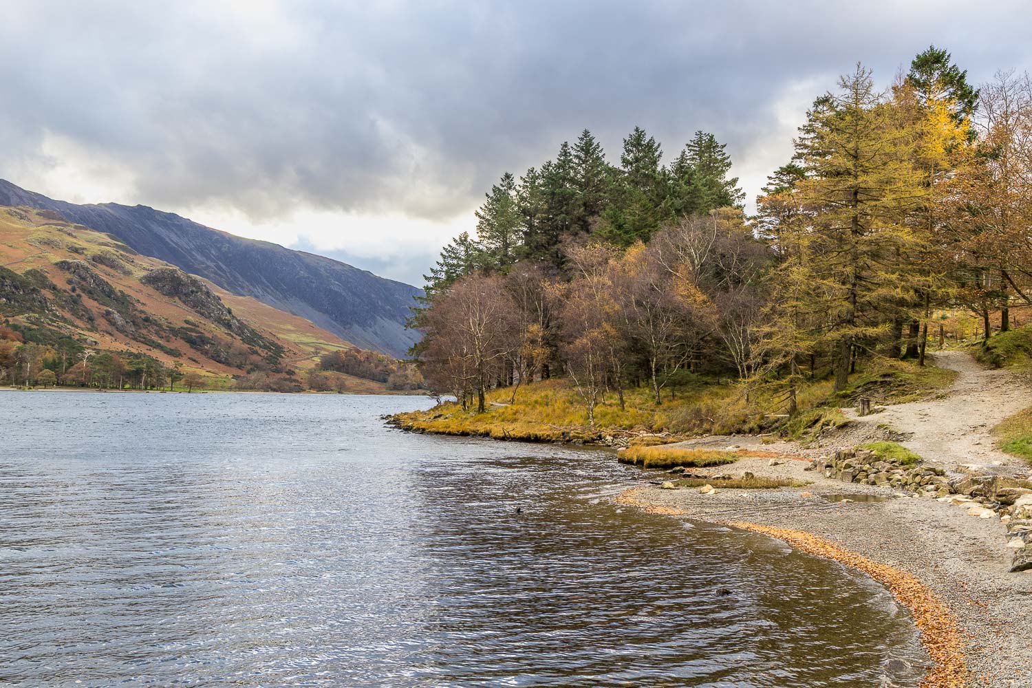
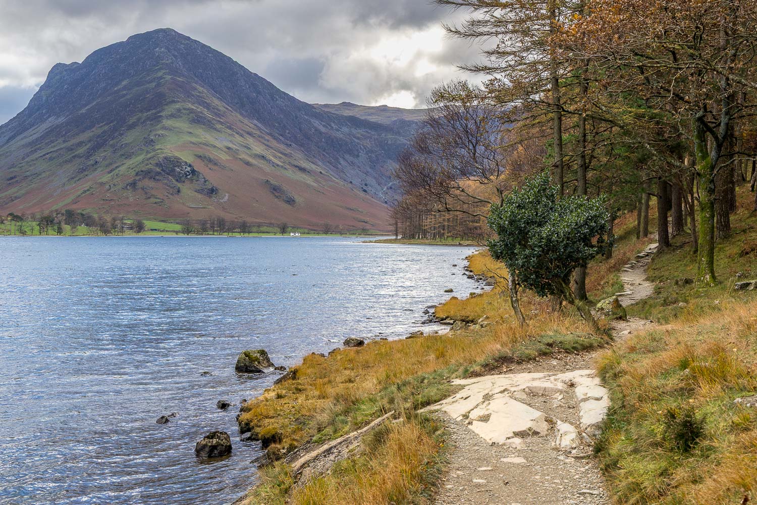
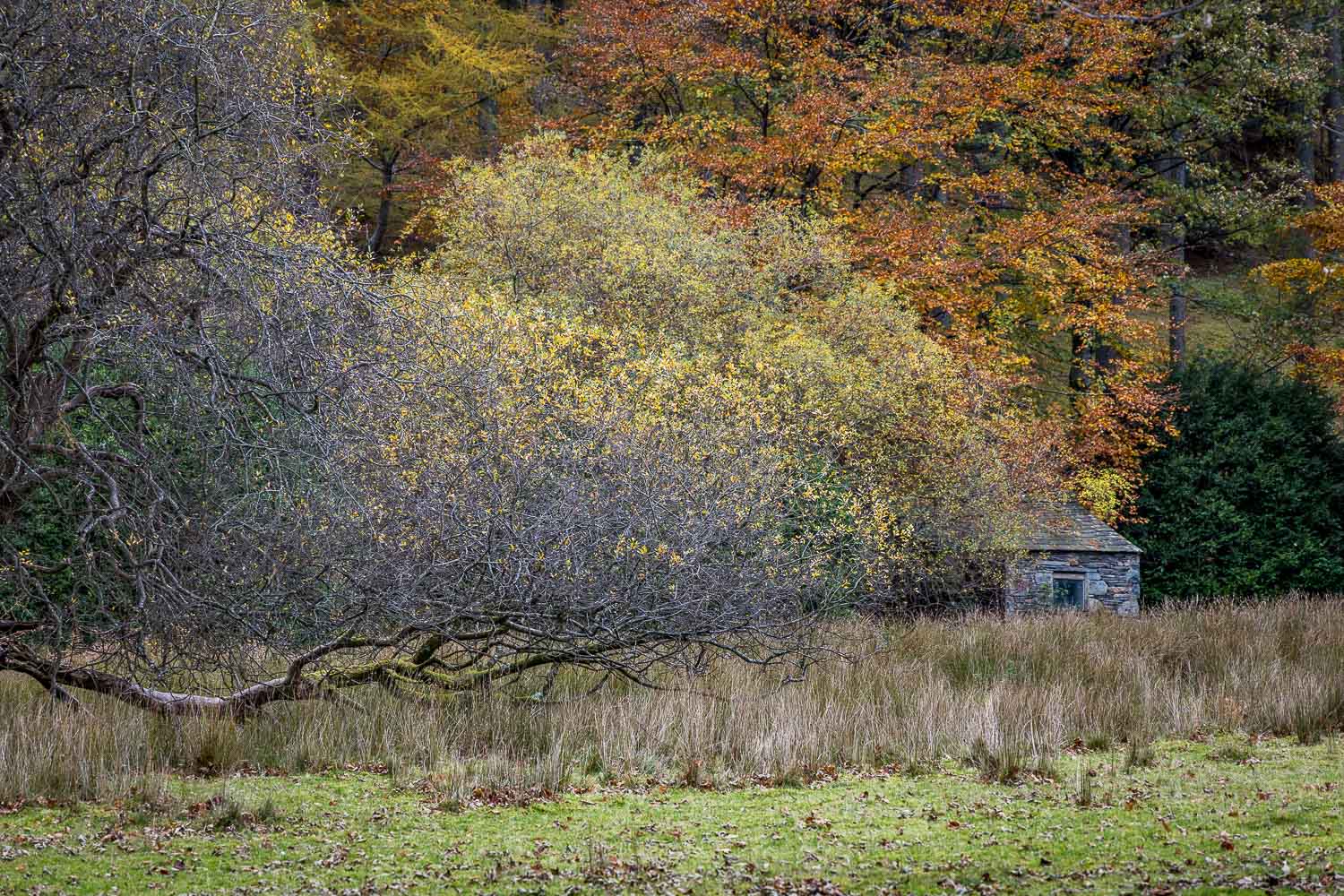
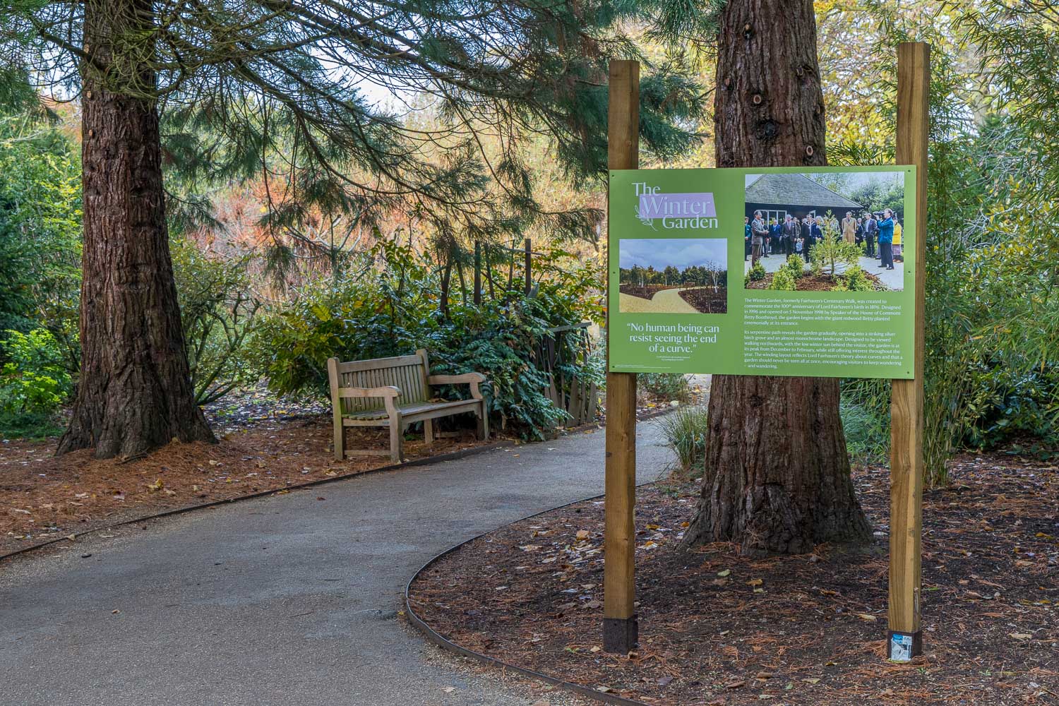
We didn’t follow a fixed route and simply wandered around where our interest took us. Highlights will differ according to season, but we especially enjoyed the Winter Garden, the Dahlia Garden, South Park and the Arboretum, where the autumn colours were wonderful

We thoroughly enjoyed our meanderings – it had been a day well spent

Click here for a link to a plan of the Anglesey Abbey grounds (I’ve not provided the usual route map as it’s best to make your own way around. A copy of the garden plan is handed out at the entrance)

Scroll down – or click on any photo to view as a slideshow
Follow the link for more walks in Cambridgeshire (3)

Posted by Andrewswalks in Cambridgeshire
Quy Water

Quy Water

Route: Quy Water

Area: Cambridgeshire

Date of walk: 10th November 2026

Walkers: Andrew and Gilly

Distance:  4.5 miles

Ascent: nil

Weather: Weak sun

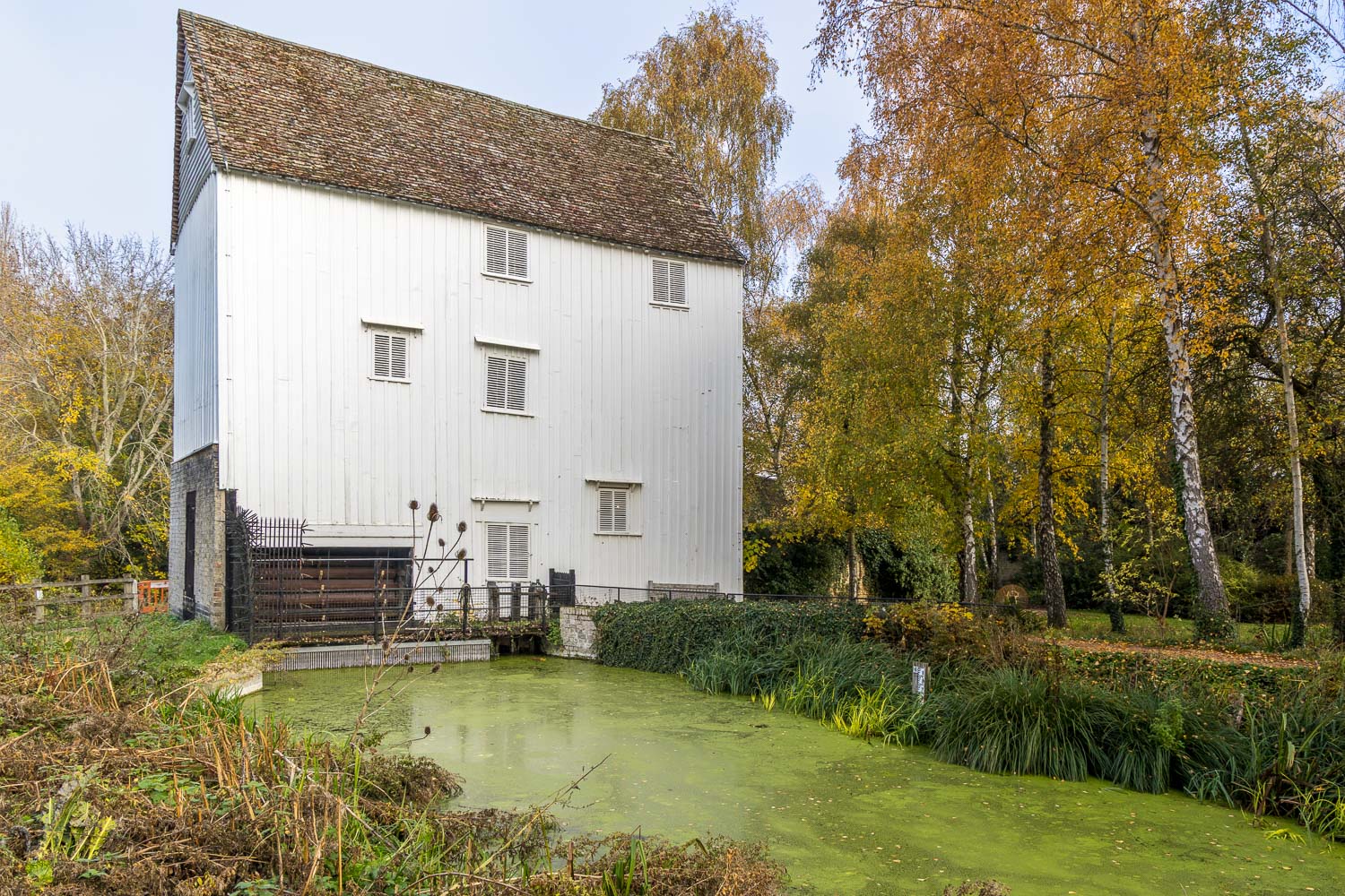
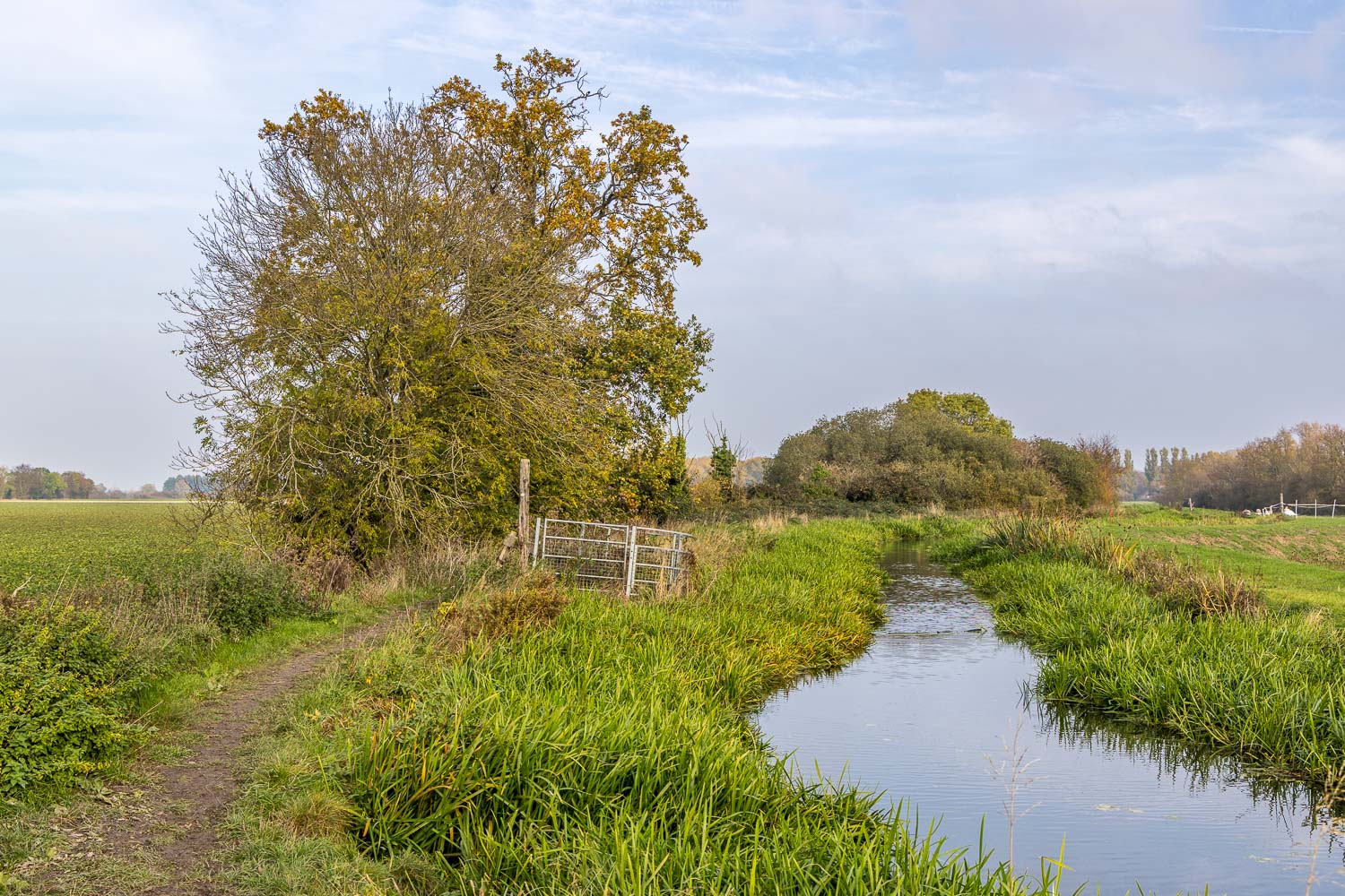
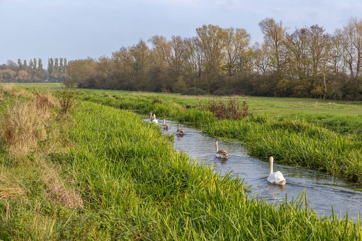
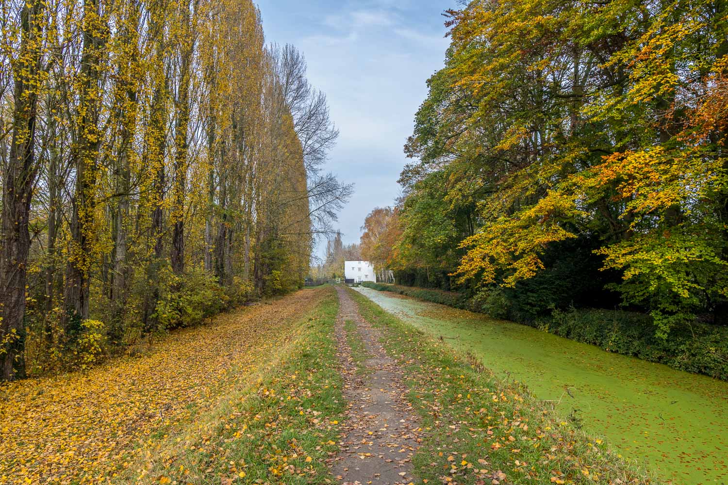
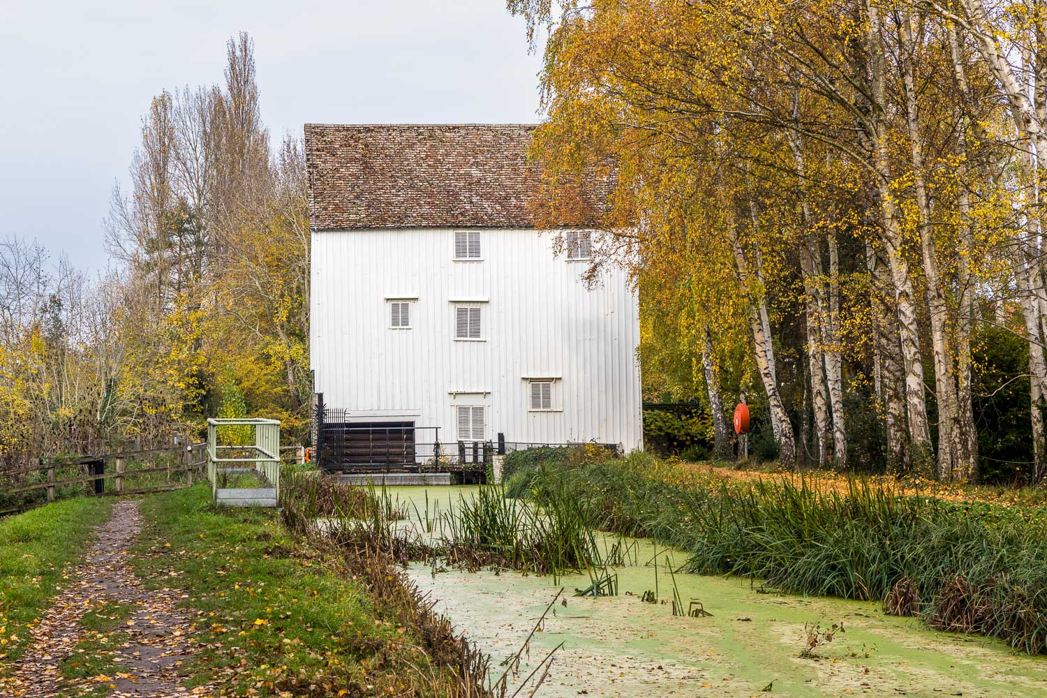
Our journey to Cambridgeshire was accompanied by thick fog, but by a stroke of good fortune it began to lift just as we drove into the village of Lode, the starting place for today’s walk. We parked in the National Trust car park by the entrance to Anglesey Abbey, which we’d visit later. We followed a path to the east of the abbey grounds and then through a field which brought us to Lode Mill. Bottisham Lode is the stretch of water below the mill, one of a number of lodes that were used as a transport link to the River Cam. The water above the mill is Quy Water, whose course we’d follow during the final stage of the walk. The mill is thought to have been built in the 18th century, although it’s believed that a watermill stood on the site at the time of the Domesday survey in 1086. The interior of the mill can be visited from the grounds of Anglesey Abbey

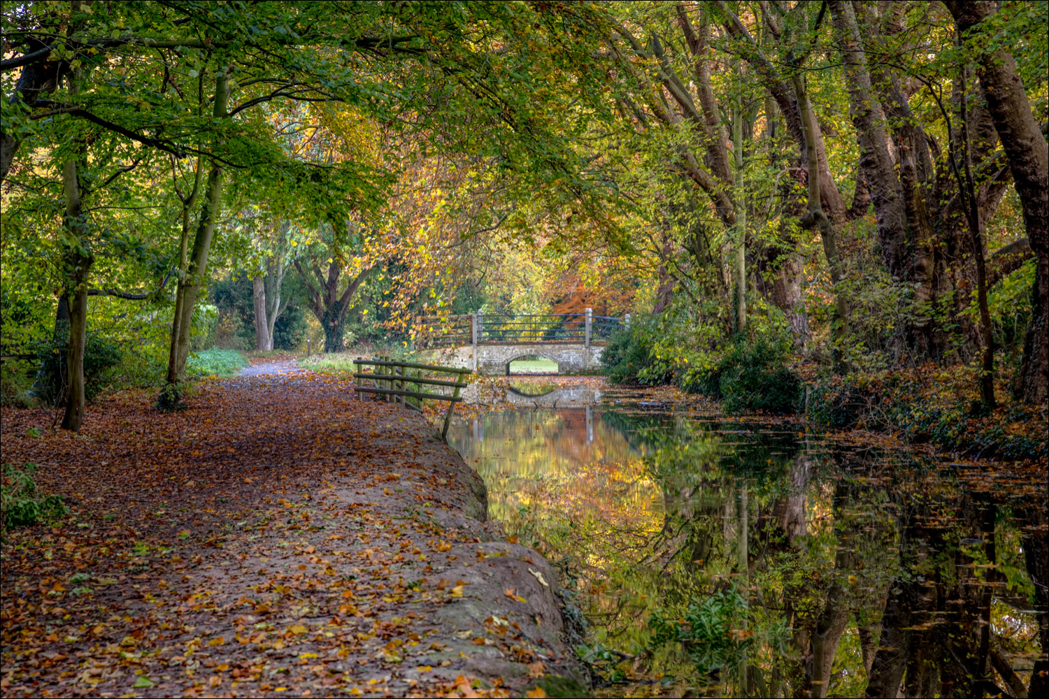
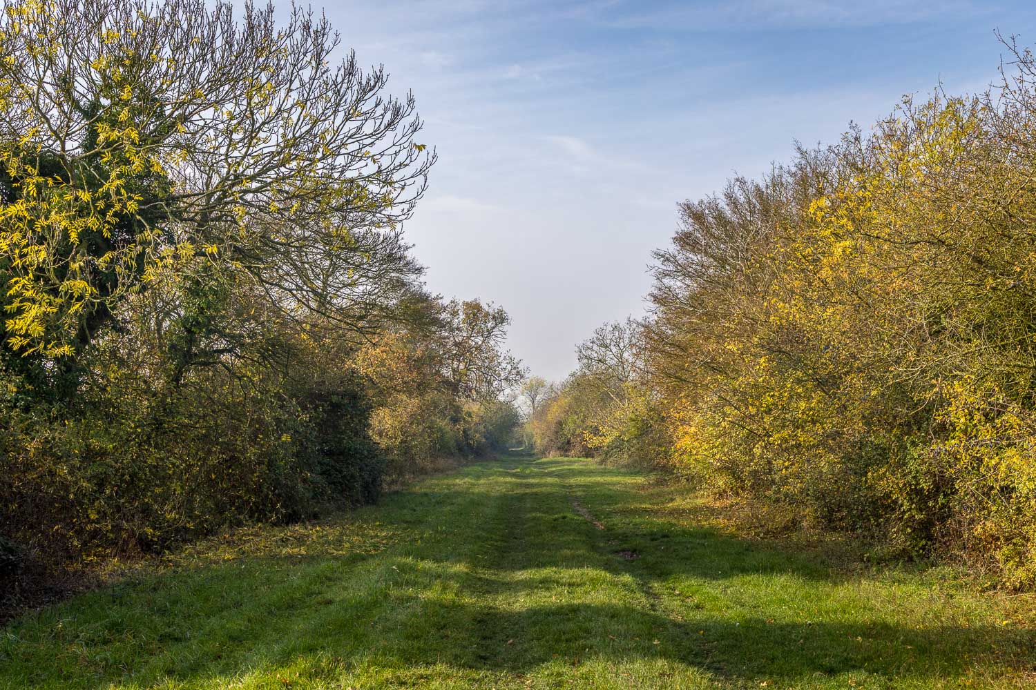
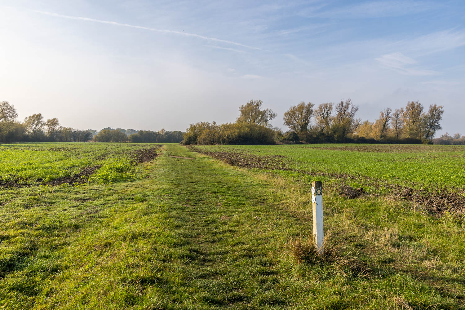
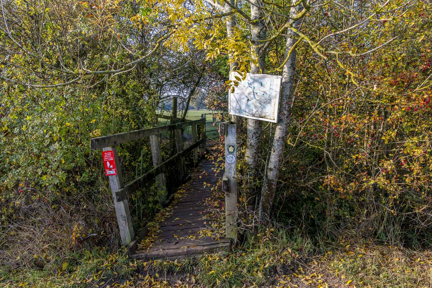
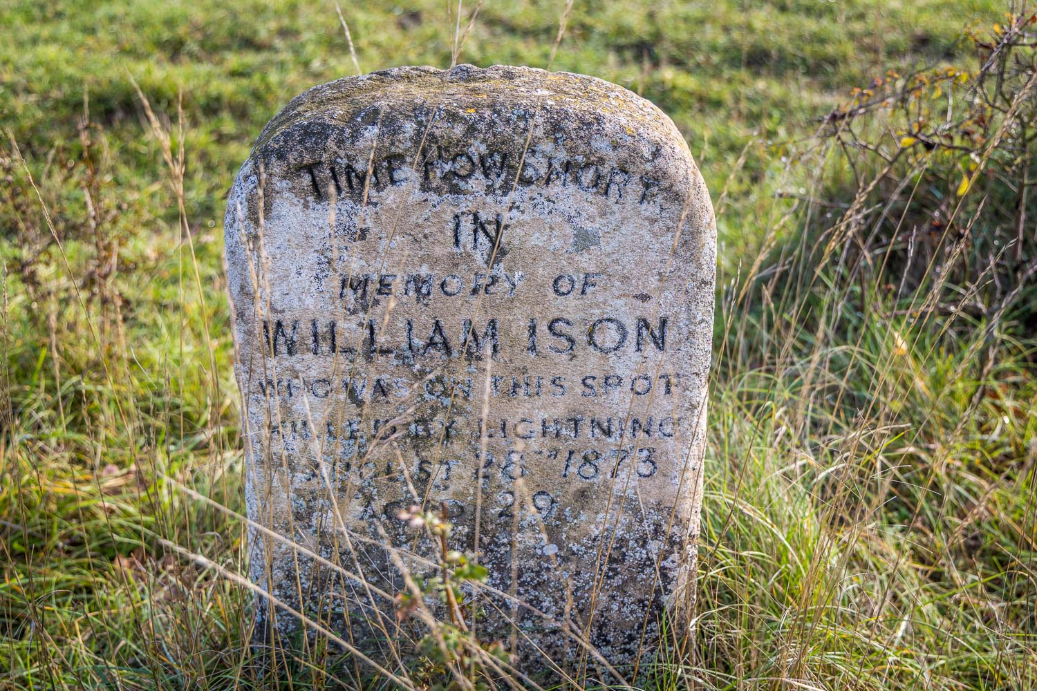
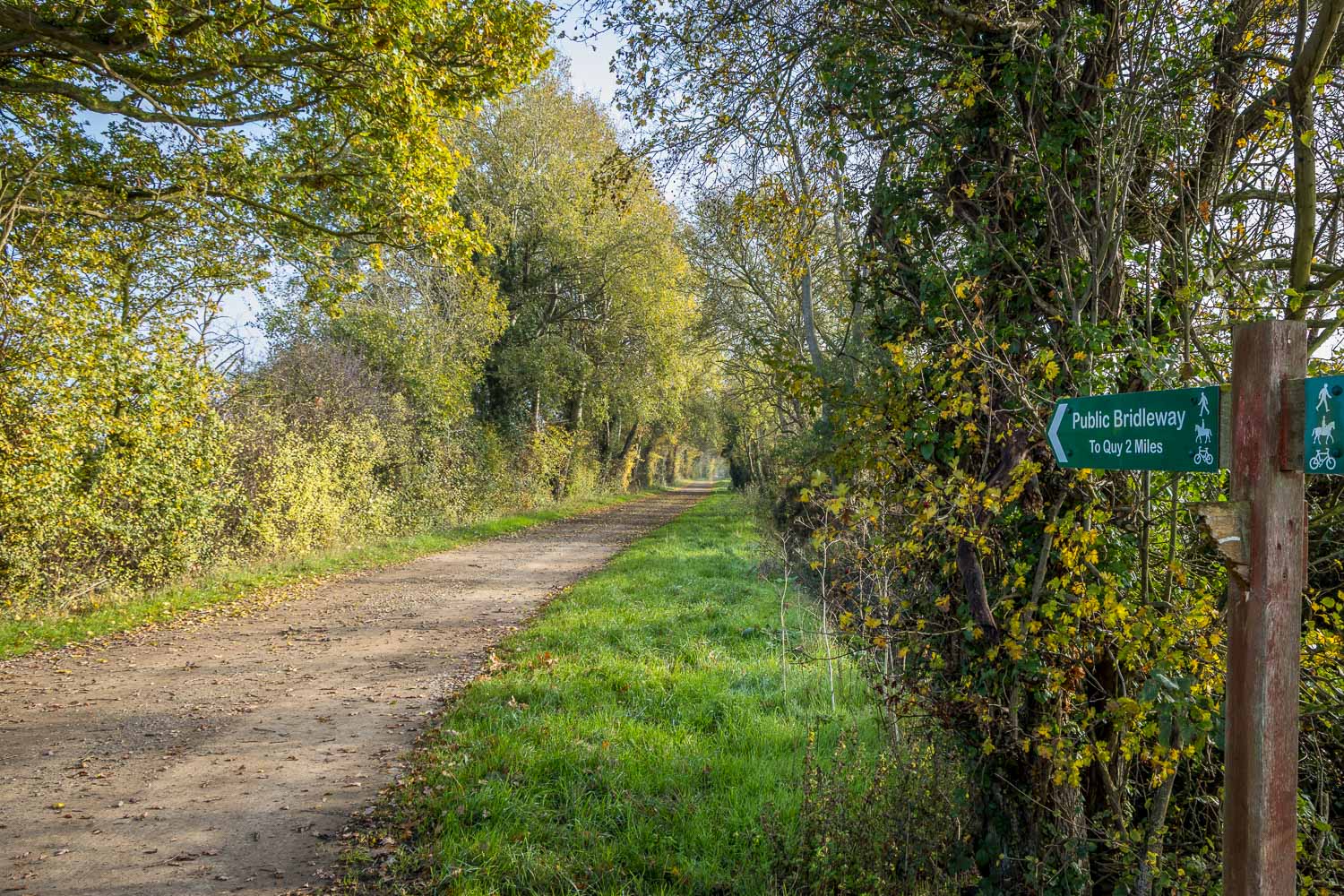
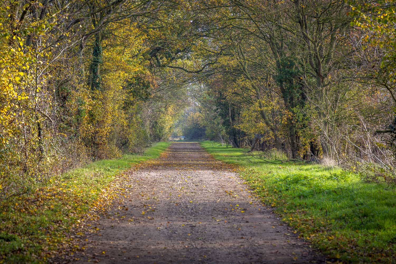
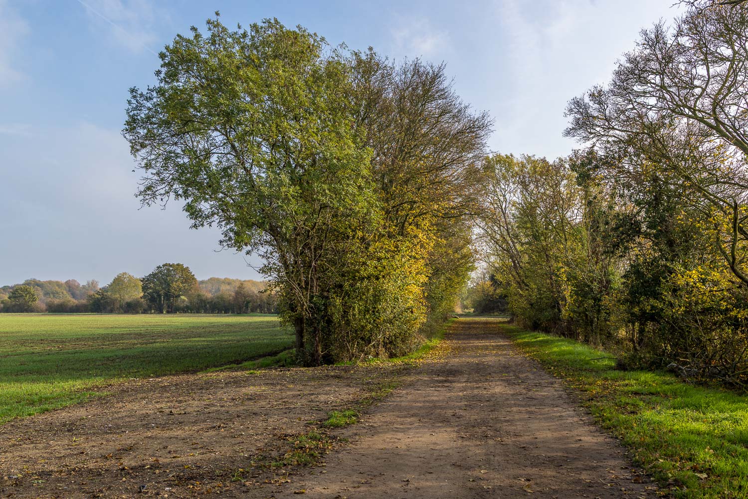
We then crossed the bridge by the side of the mill, turned left and followed the path alongside Quy Water towards Stow-cum-Quy. A delightful tree lined grassy bridle way, part of the long distance Harcamlow Way, took us across the fields to Quy Fen. The fen is a designated Site of Special Scientific Interest (SSSI) and is managed by Quy Fen Trust on behalf of local parishes. We followed a path by the edge of the fen, making a short detour near the end to visit a memorial stone commemorating William Ison who was struck by lightning in this spot

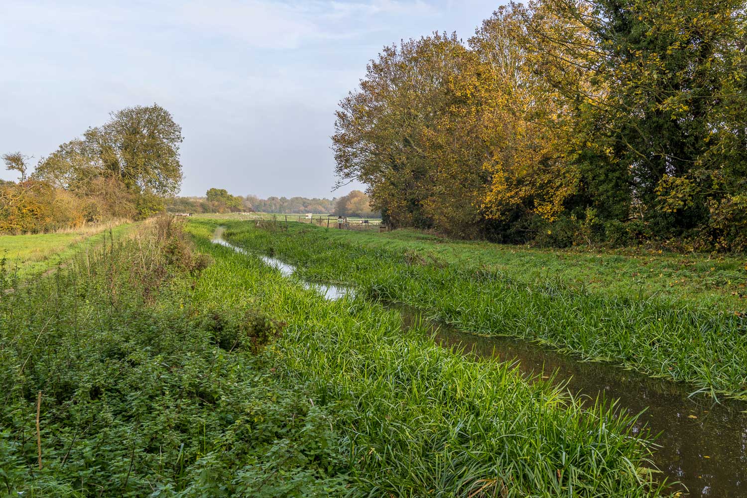
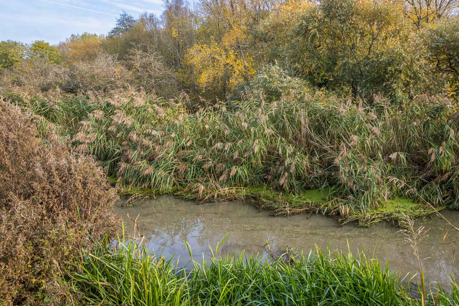
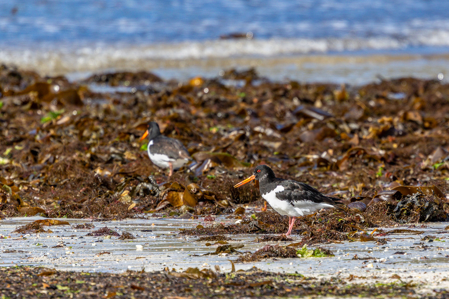
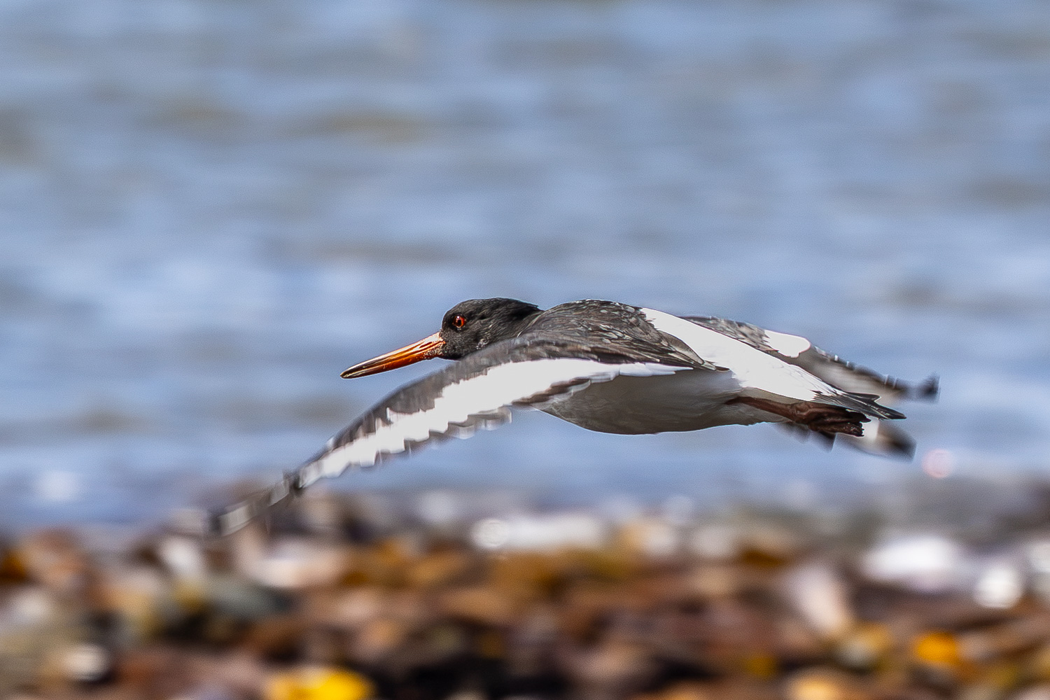
Beyond Quy Fen we followed a track known as The Drove Way, which led to the far point of the walk at the edge of Stow cum Quy. We joined a path beside Quy Water, a medieval watercourse which runs into Bottisham Lode. The lovely path hugged the edge of the stream and along the way we had sightings of heron, egret, oystercatcher and deer. All too soon we arrived back at Lode Mill and from here we retraced our steps back to the National Trust car park. This wasn’t the end of the outing though, as we still had time to visit Anglesey Abbey, follow the link for our next walk 

Click on the icon below for the route map (subscribers to OS Maps can view detailed maps of the route, visualise it in aerial 3D, and download the GPX file. Non-subscribers will see a base map)

Scroll down – or click on any photo to view as a slideshow

Follow the link for more walks in Cambridgeshire (3)

Posted by Andrewswalks in Cambridgeshire
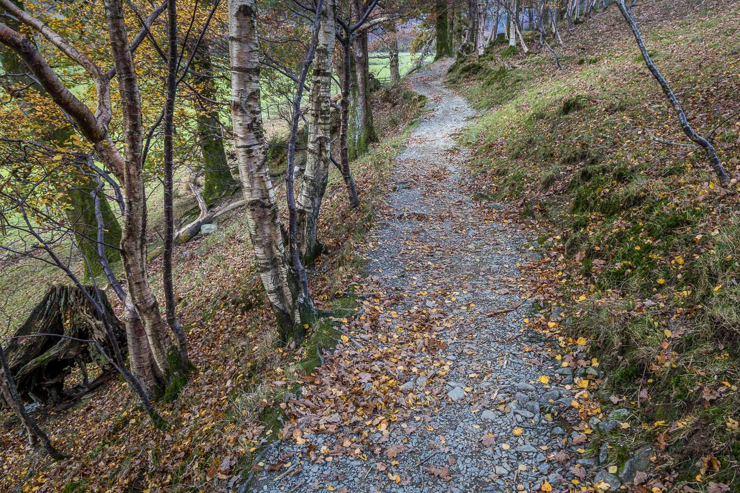
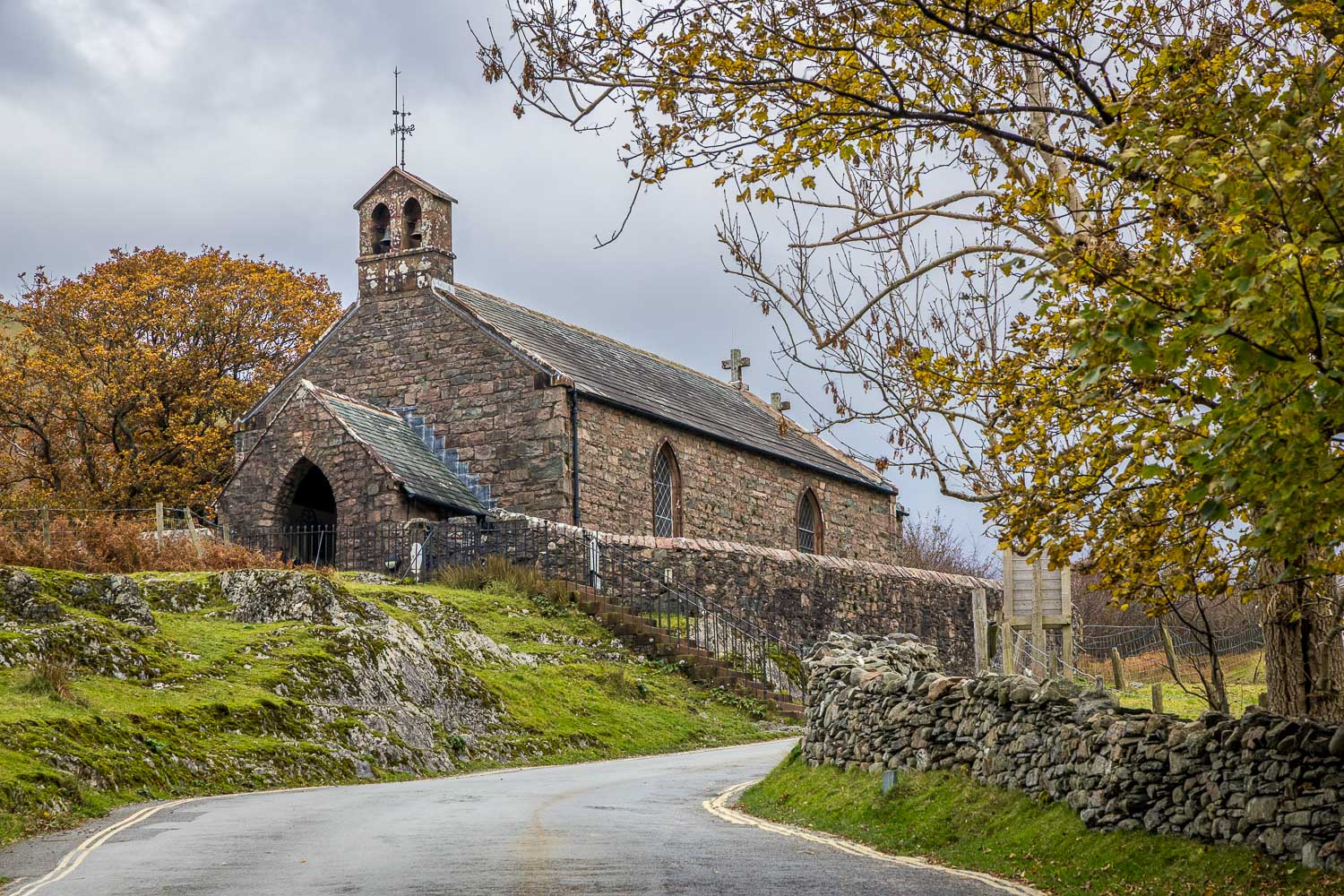
Buttermere circuit

Buttermere circuit

Route: Buttermere circuit

Area: Western Lake District

Date of walk: 5th November 2026

Walkers: Andrew and Gilly

Distance: 5.1 miles

Ascent: 400 feet

Weather: Mostly cloudy

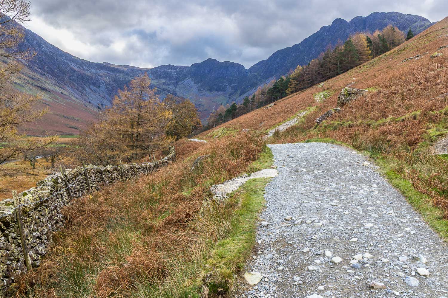
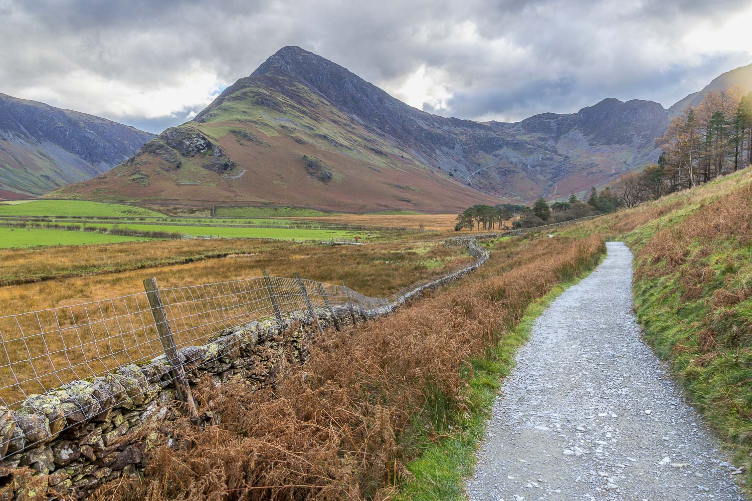
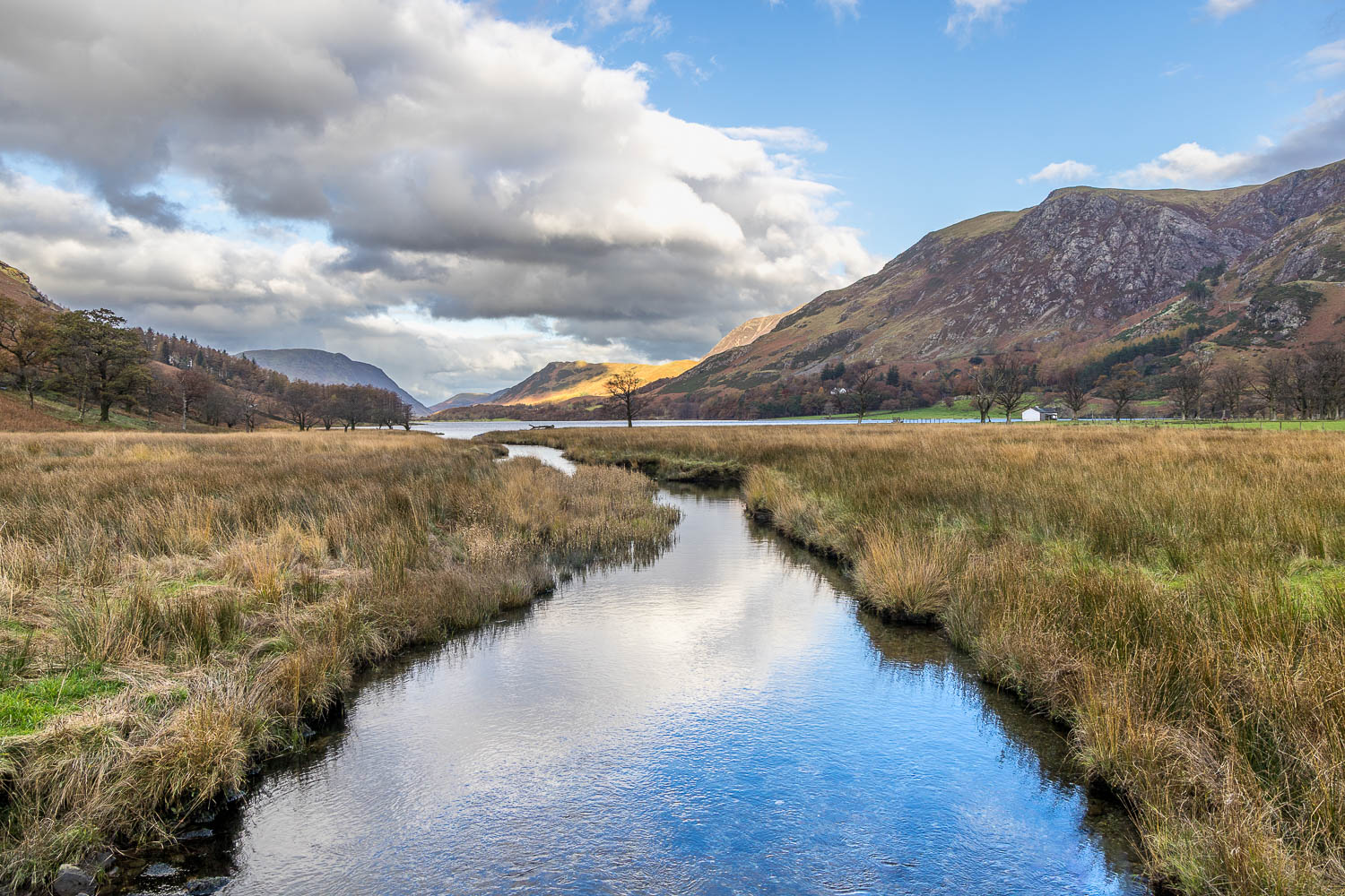
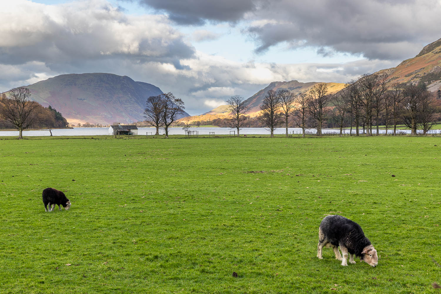
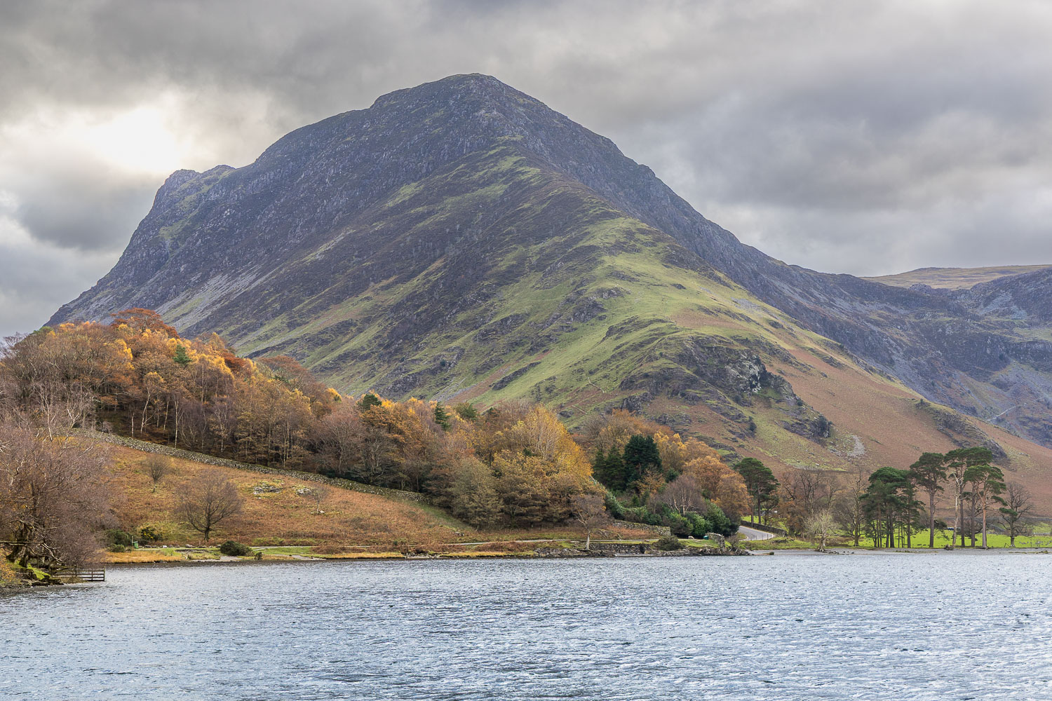
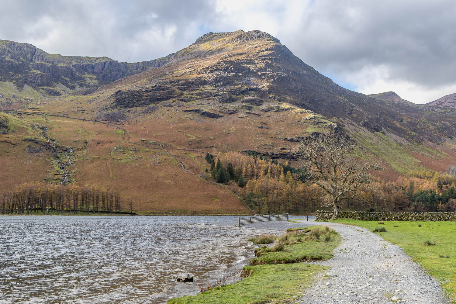
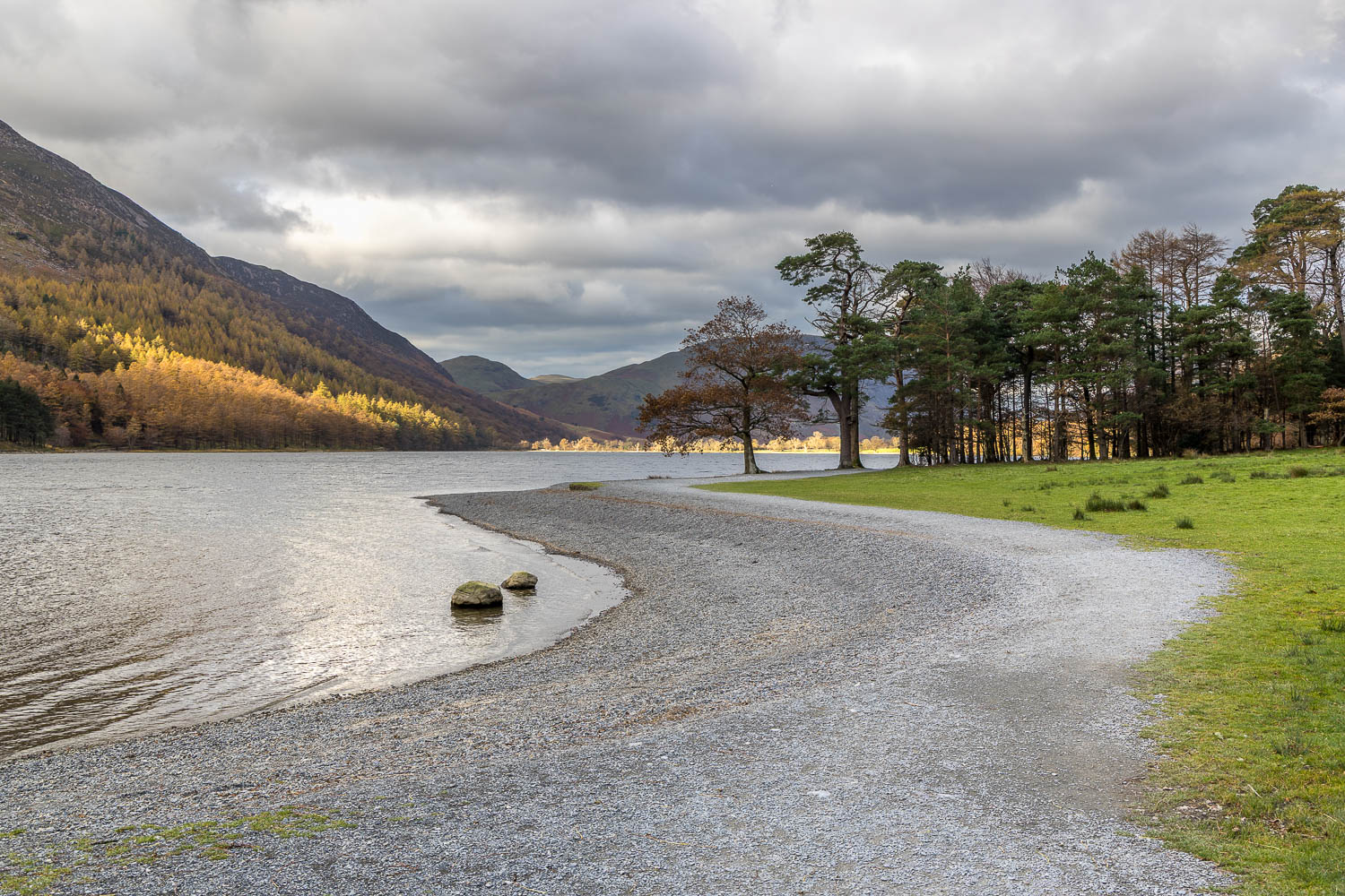
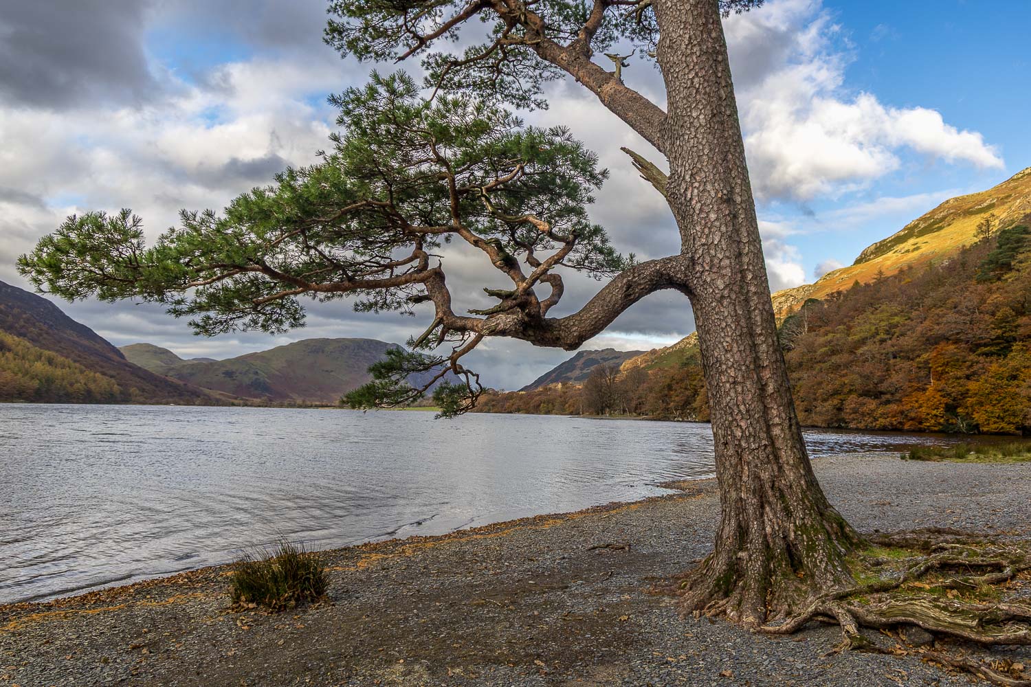
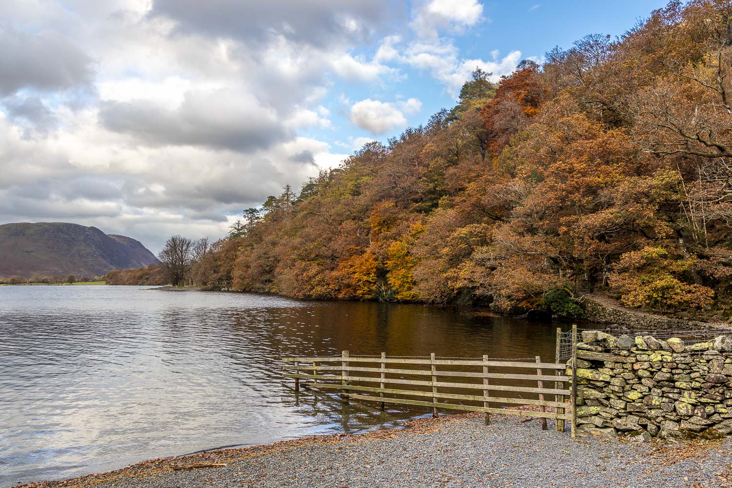
The Buttermere circuit appears many times on this site – more often than any other walk as it’s one of our favourites, which we follow several times a year. It does tend to be busy at peak times, so we always visit out of season and arrive early

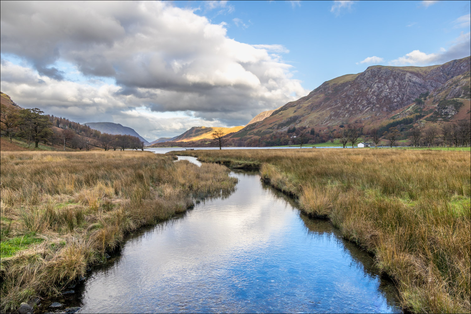
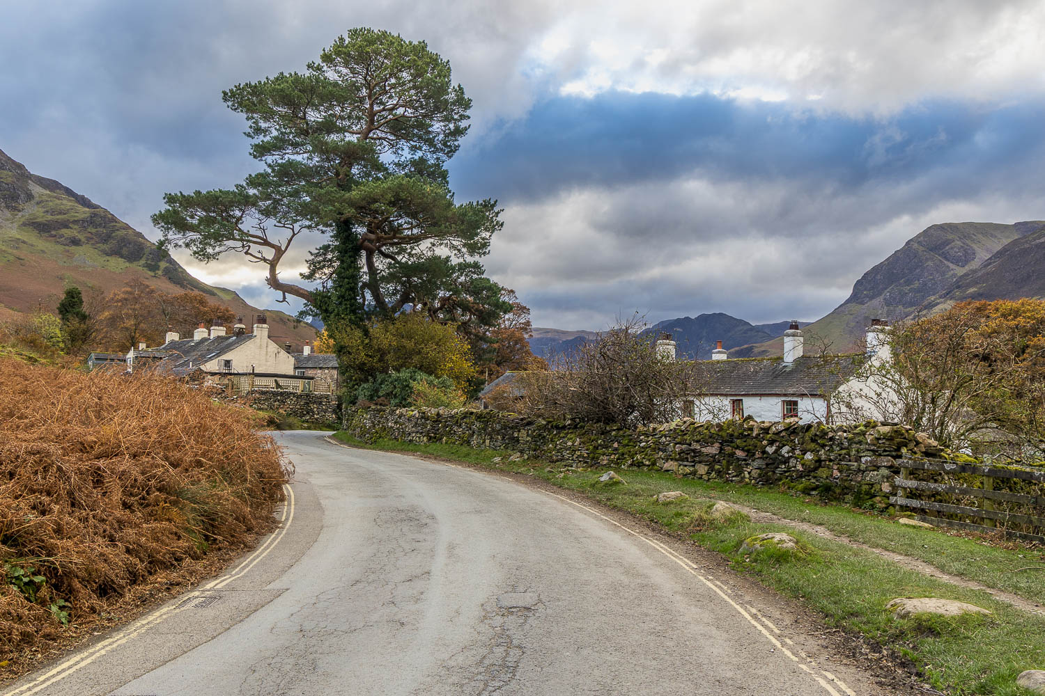
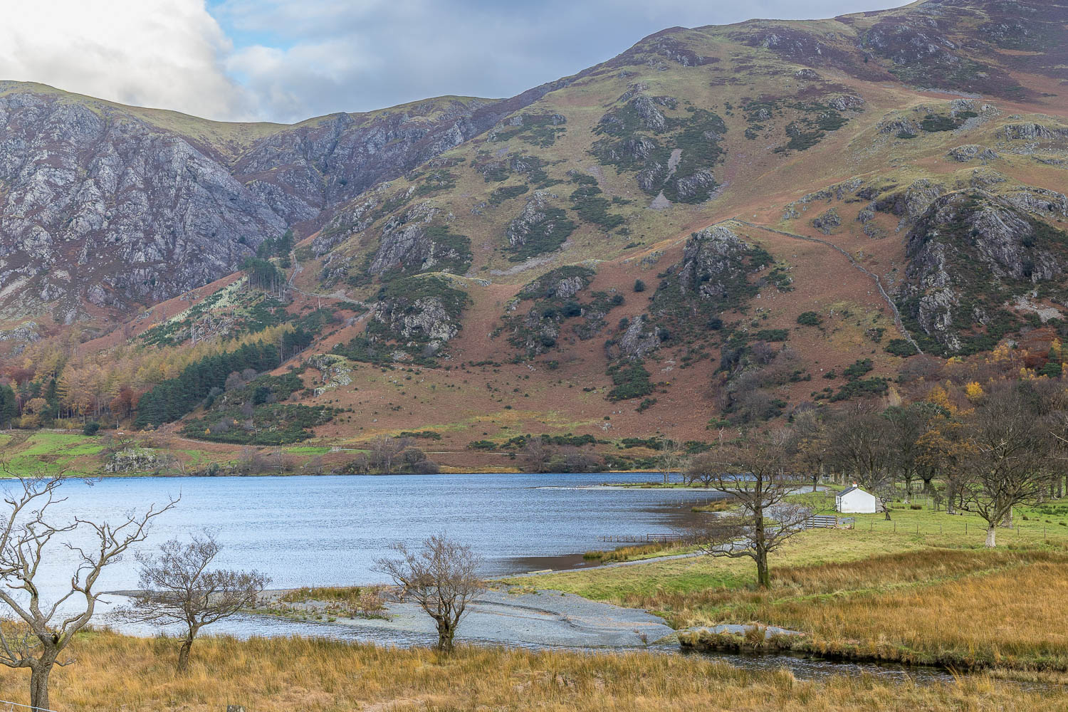
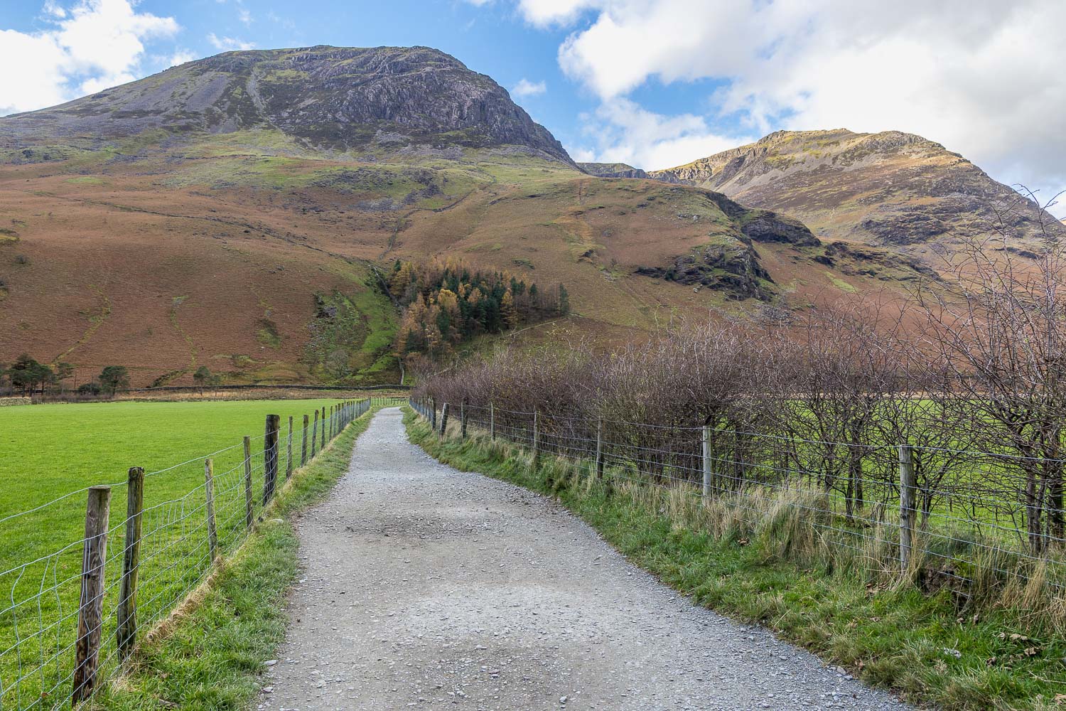
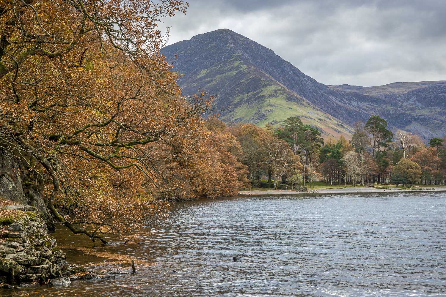
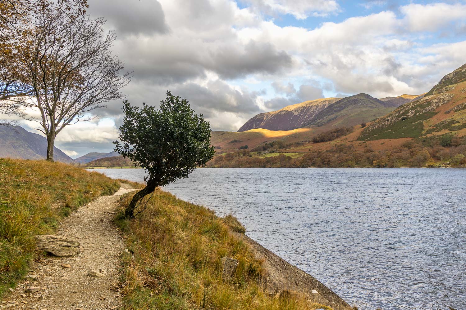
We parked as usual in the National Trust car park at Long How and walked through Buttermere village, passing by the Buttermere Court Hotel (formerly The Fish). We followed the path to the foot of the lake and set off around Buttermere in an anti-clockwise direction in order to keep the best views ahead

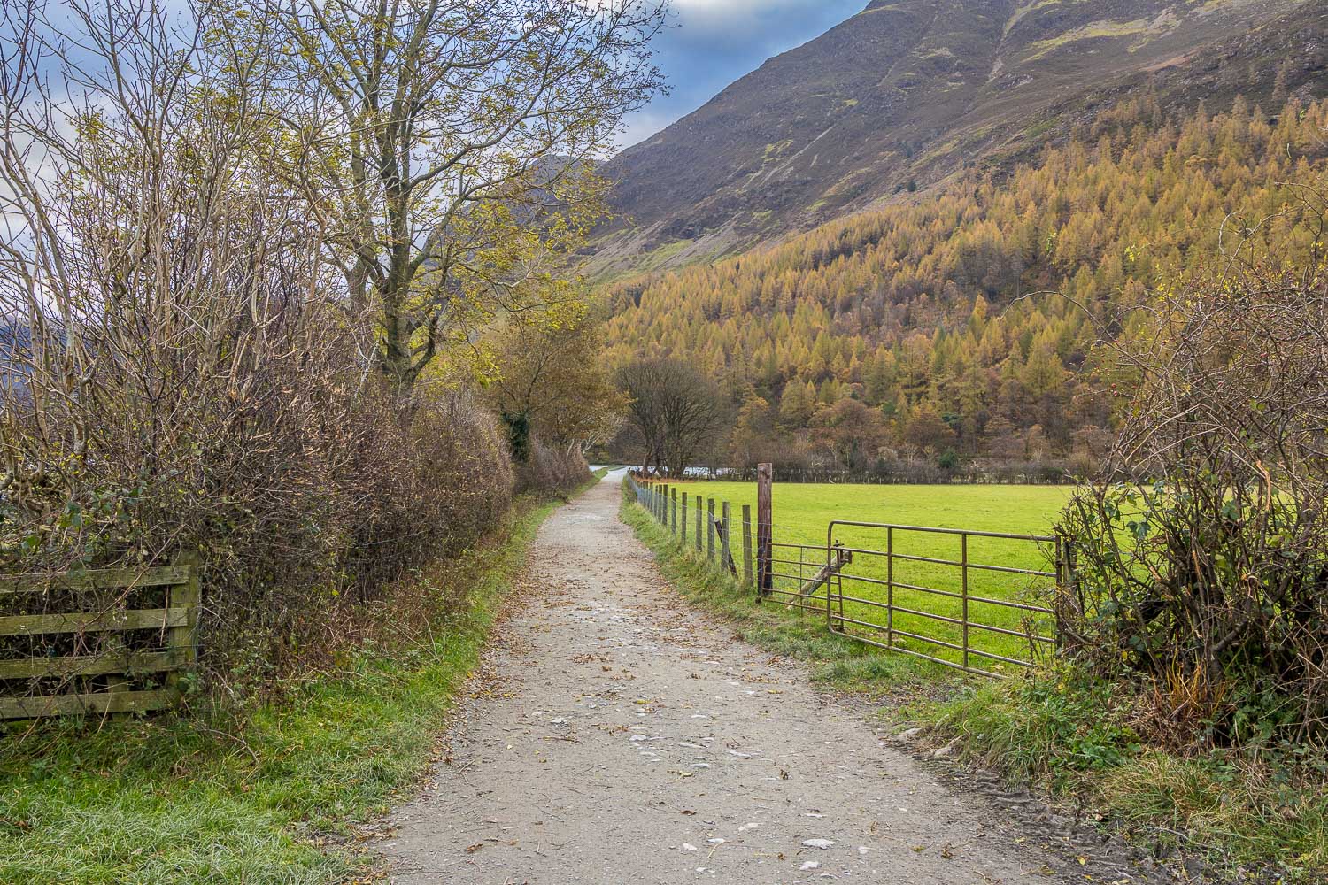
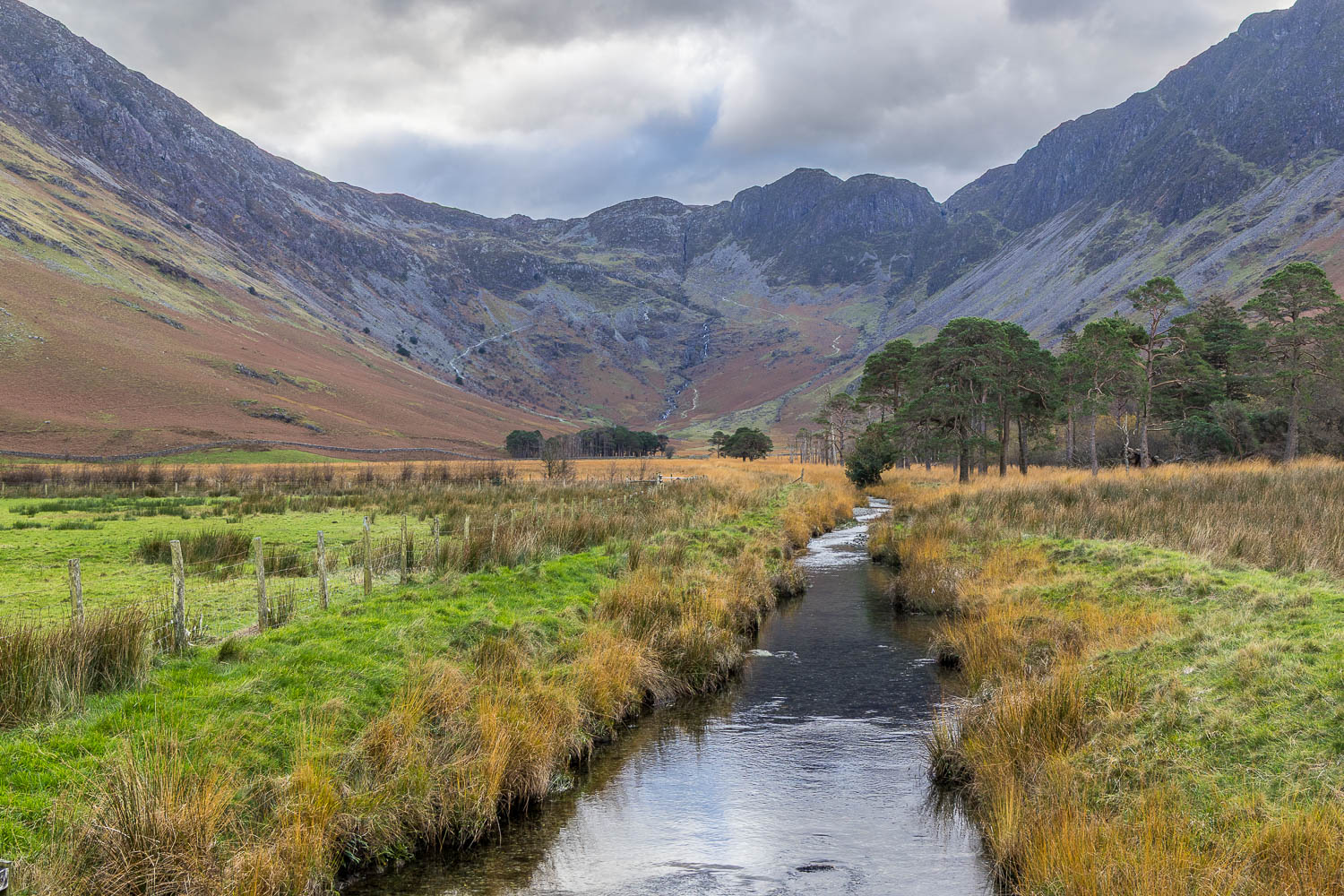
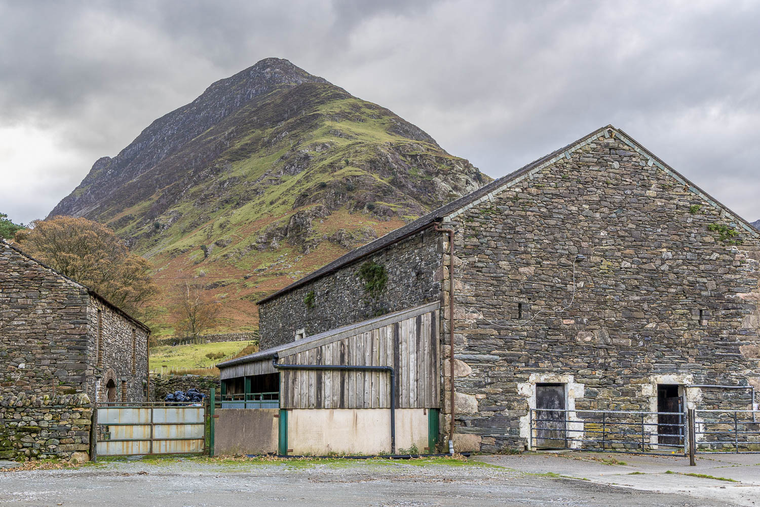
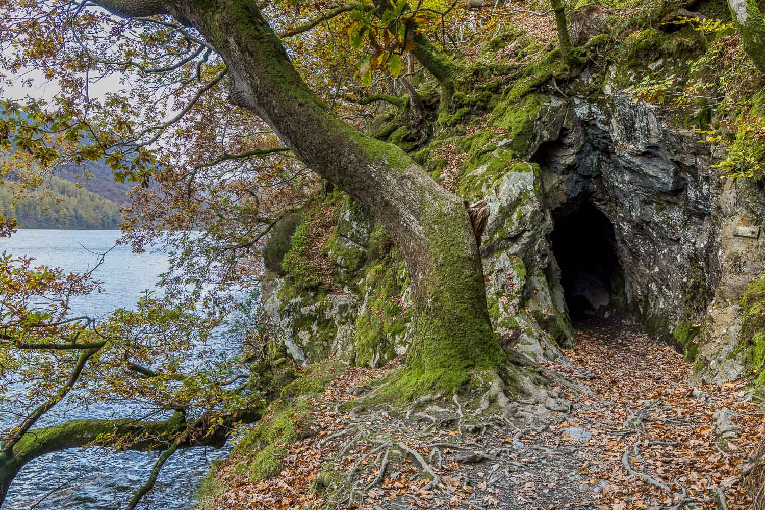
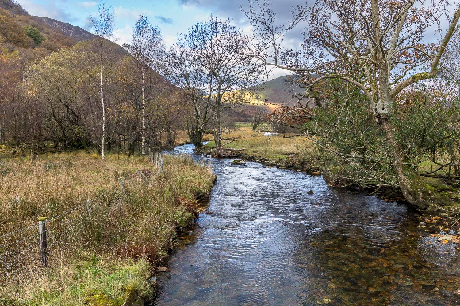
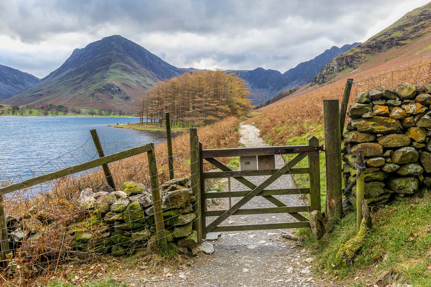
We continued along the lakeshore path, where the autumn colours in the woodland were showing well, and just beyond the head of Buttermere we turned left to begin the return leg.  We crossed Peggy’s Bridge from which there are lovely views looking both ways along Warnscale Beck. After passing through Gatesgarth Farm there followed a short road section before we joined the lakeshore path to the stony beach at Hassness. Beyond Hassness we passed through the short rock tunnel (a torch isn’t needed, but keep your head down if you’re tall). Anyone wearing plimsolls will end up with wet feet as the tunnel is full of puddles at all times of the year. From here we walked back into Buttermere village to end a classic circuit, one of the best low level walks in the country 

For other walks here, visit my Find Walks page and enter the name in the ‘Search site’ box

Click on the icon below for the route map (subscribers to OS Maps can view detailed maps of the route, visualise it in aerial 3D, and download the GPX file. Non-subscribers will see a base map)

Scroll down – or click on any photo to enlarge it and you can then view as a slideshow

Posted by Andrewswalks in Lake District, West
King’s How

King’s How

Route: King’s How on Grange Fell

Area: Central Lake District

Date of walk: 29th October 2026

Walkers: Andrew 

Distance: 3.5 miles

Ascent: 1,100 feet

Weather: Dull and overcast, some light rain

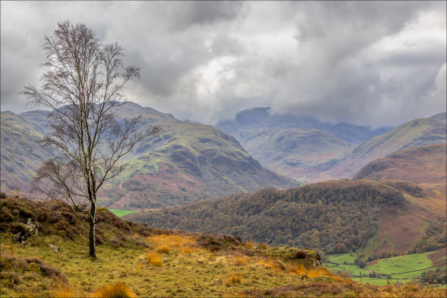
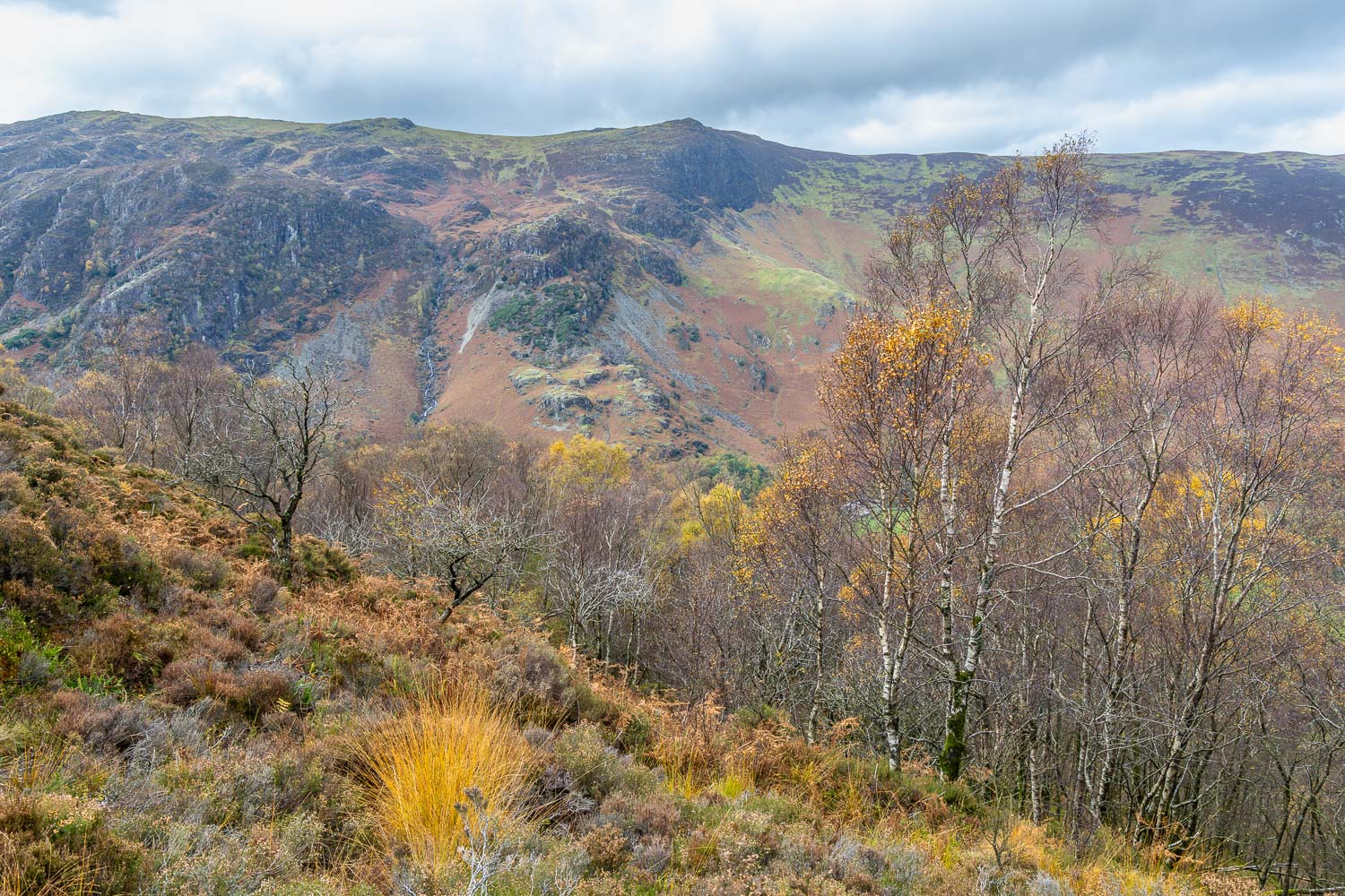
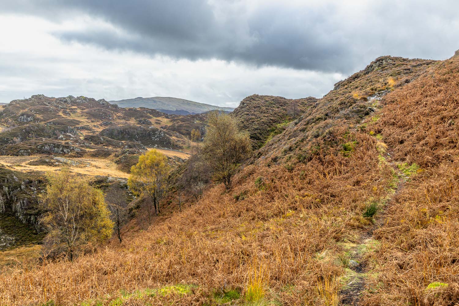
In search of autumn colours, I decided to revisit King’s How, situated in the heart of Borrowdale. King’s How is one of the three widely scattered tops on Grange Fell, the others being Ether Knott and Brund Fell. Anyone attempting to bag all three would need to traverse some remote and complicated terrain.

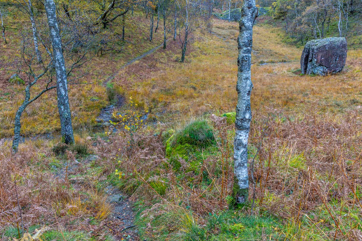
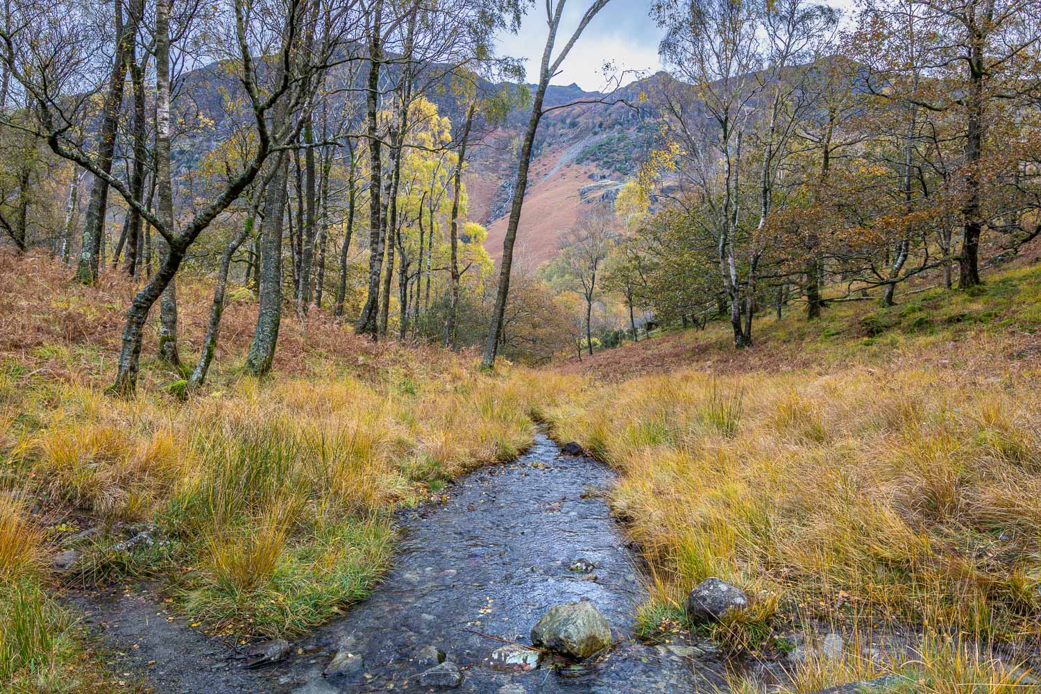
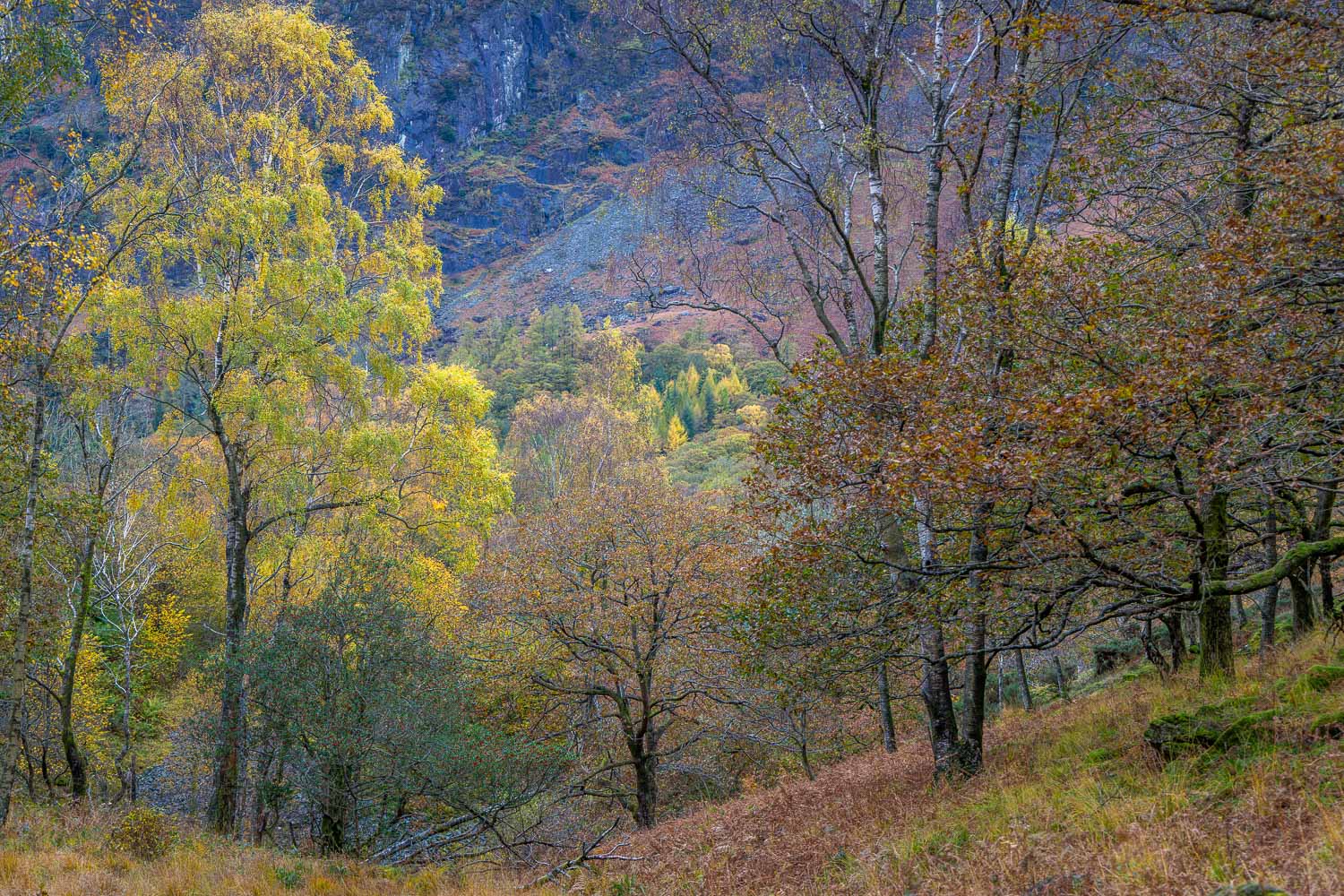
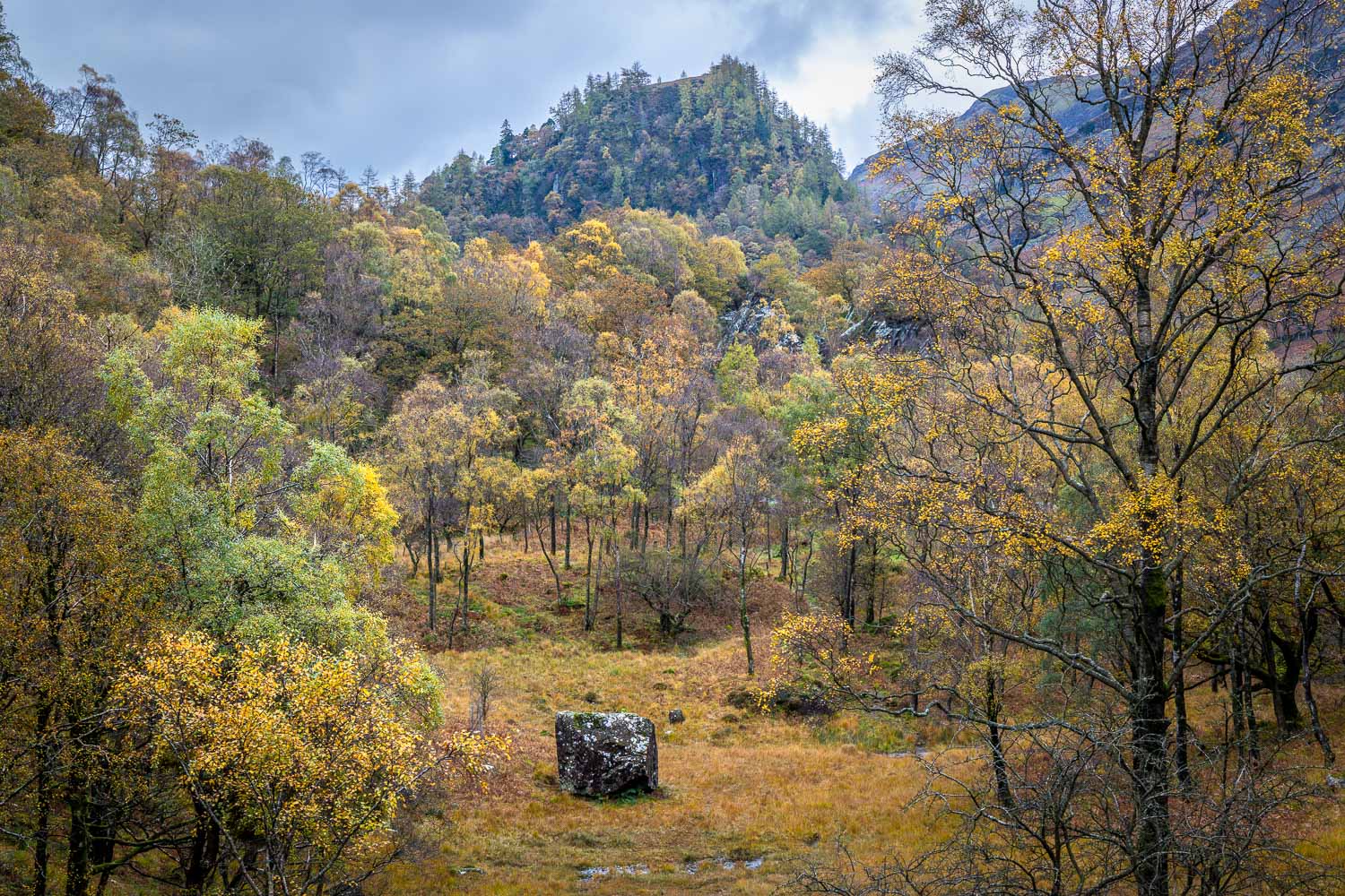
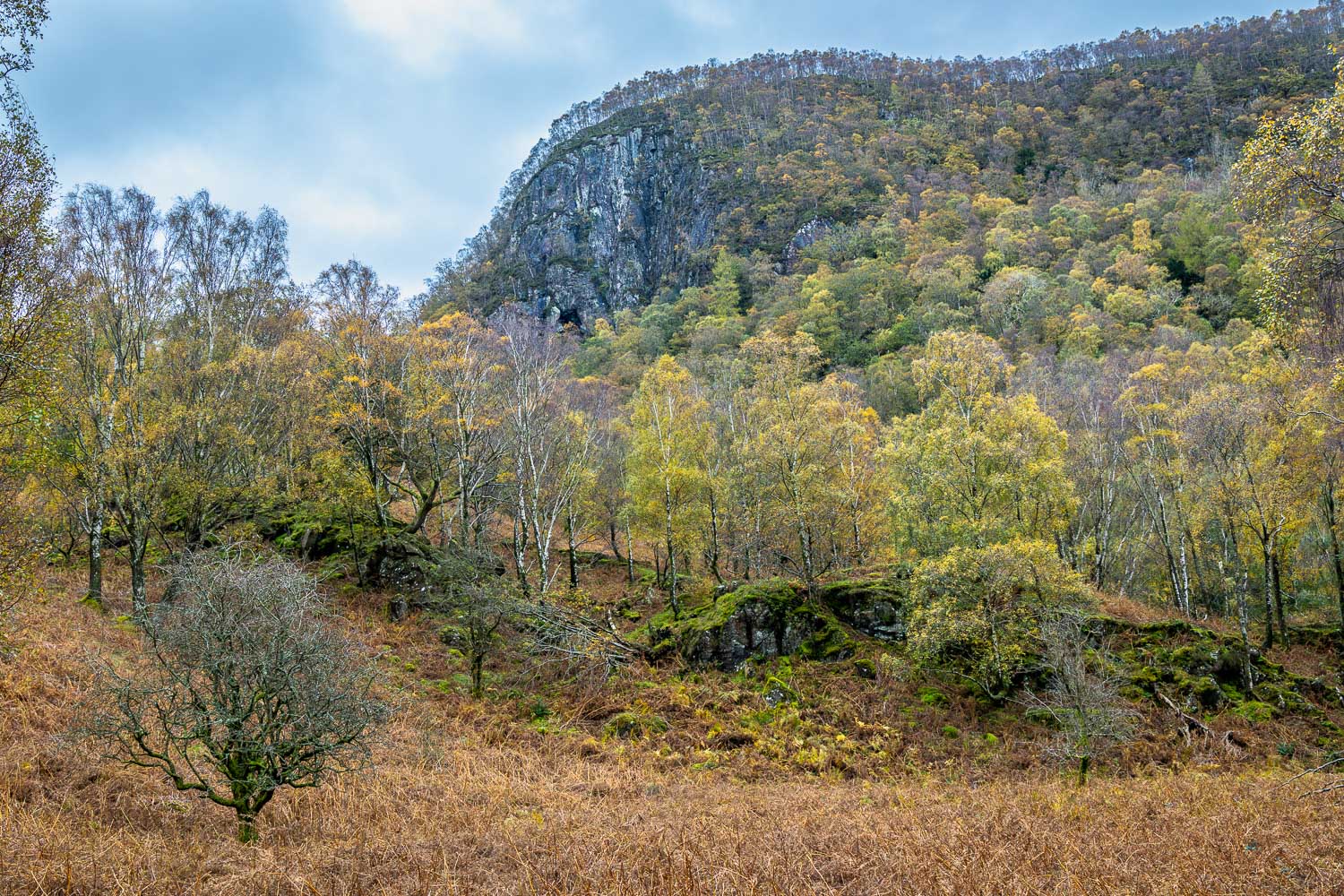
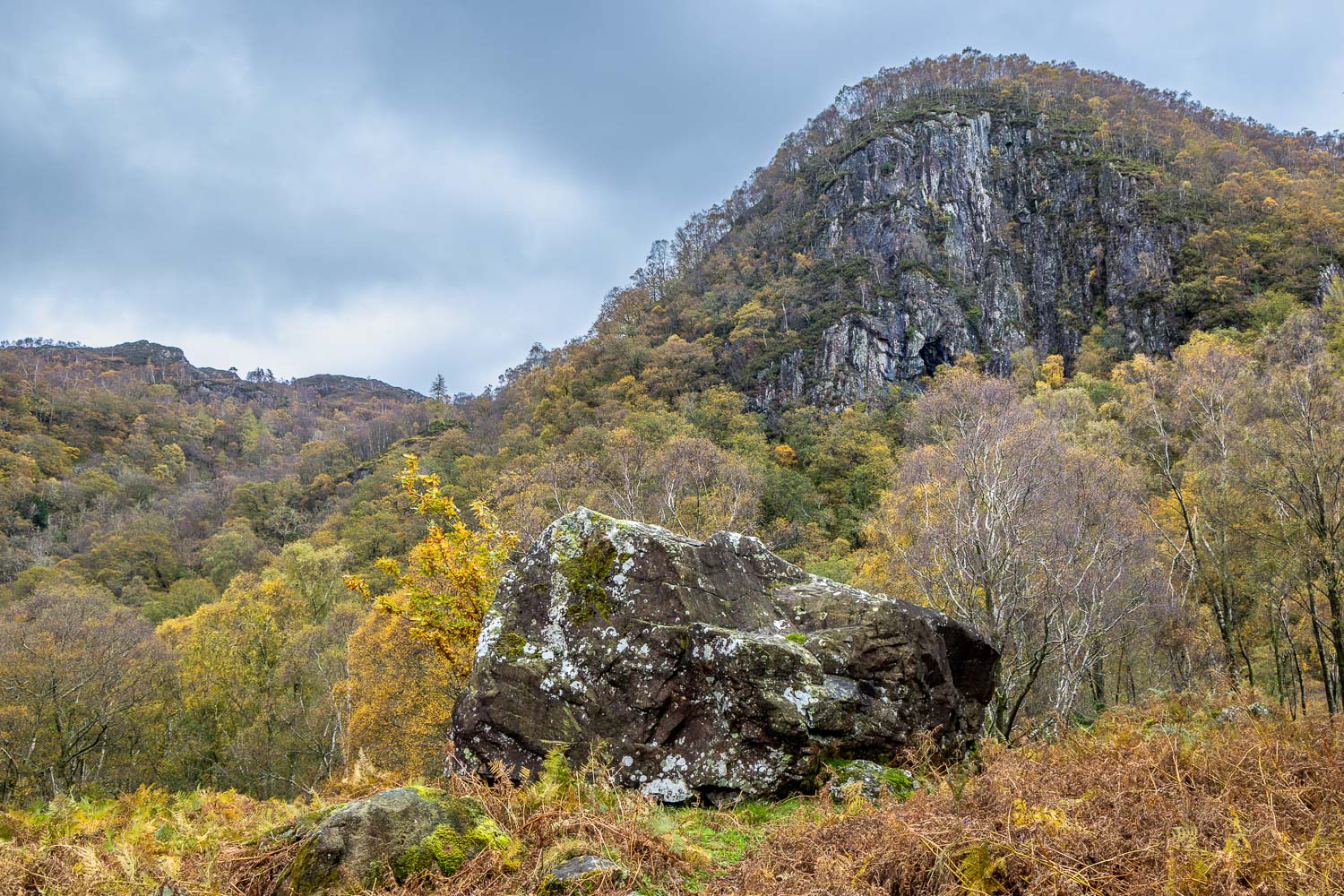
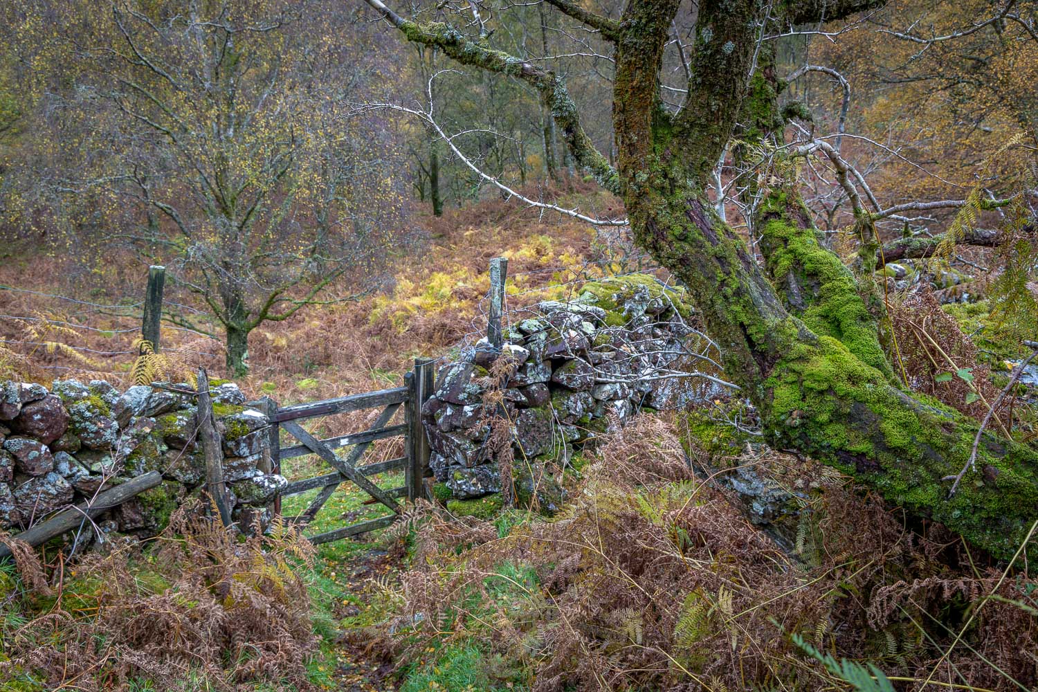
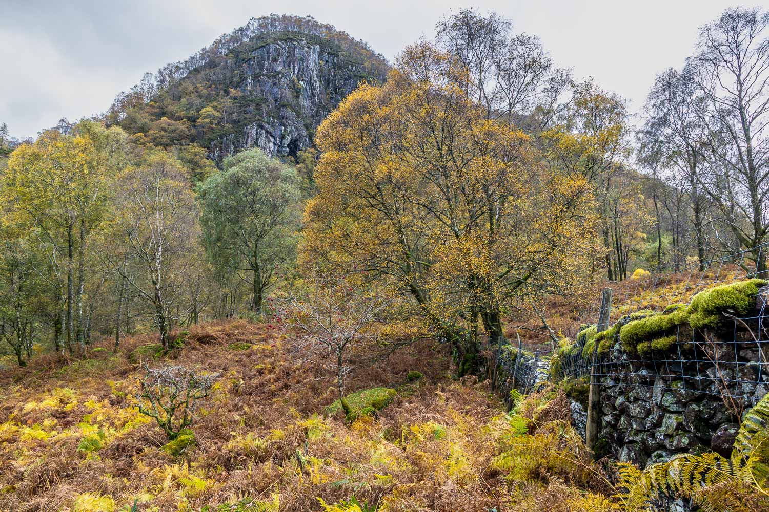
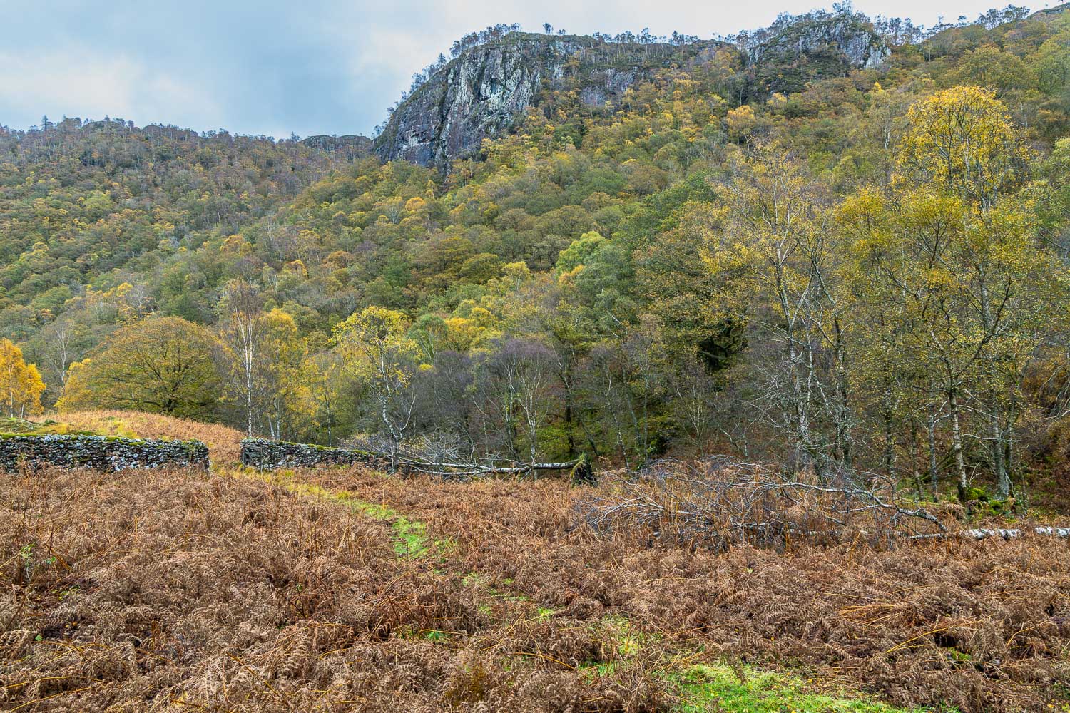
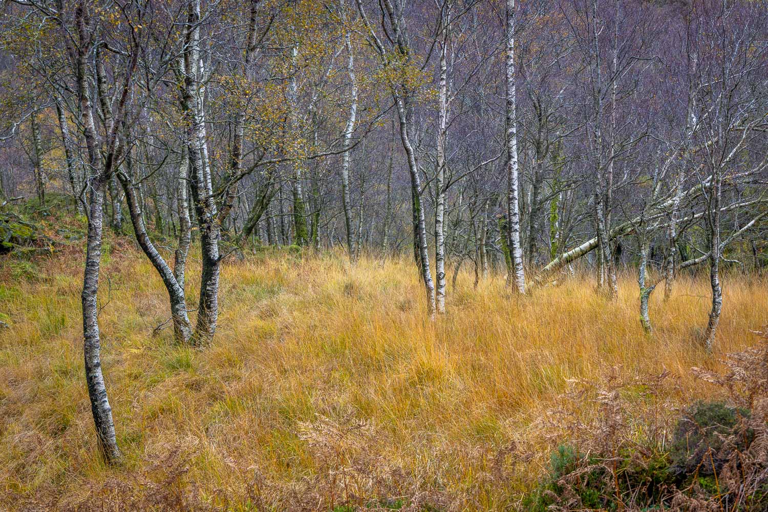
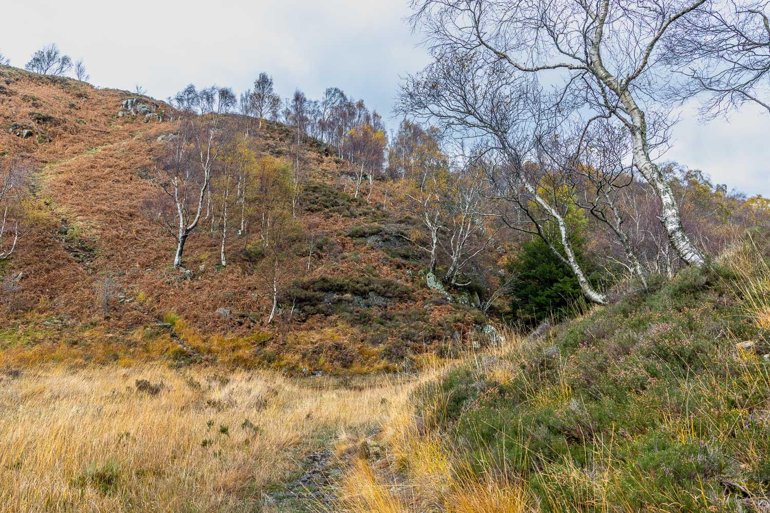
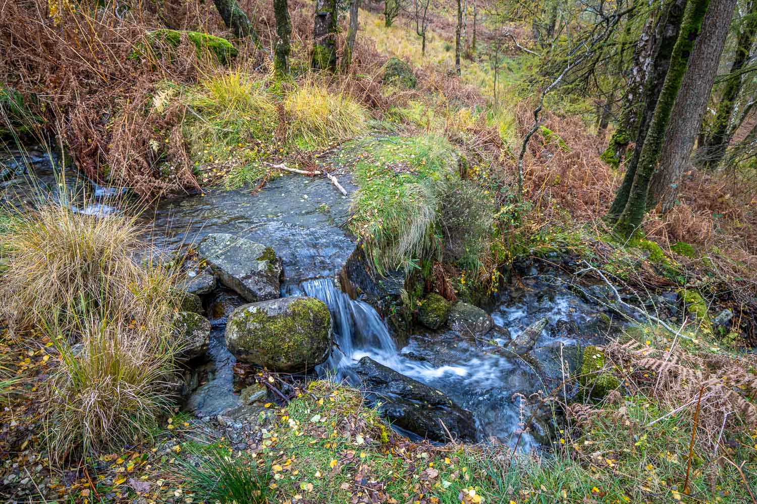
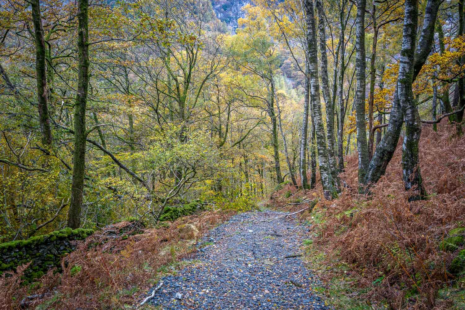
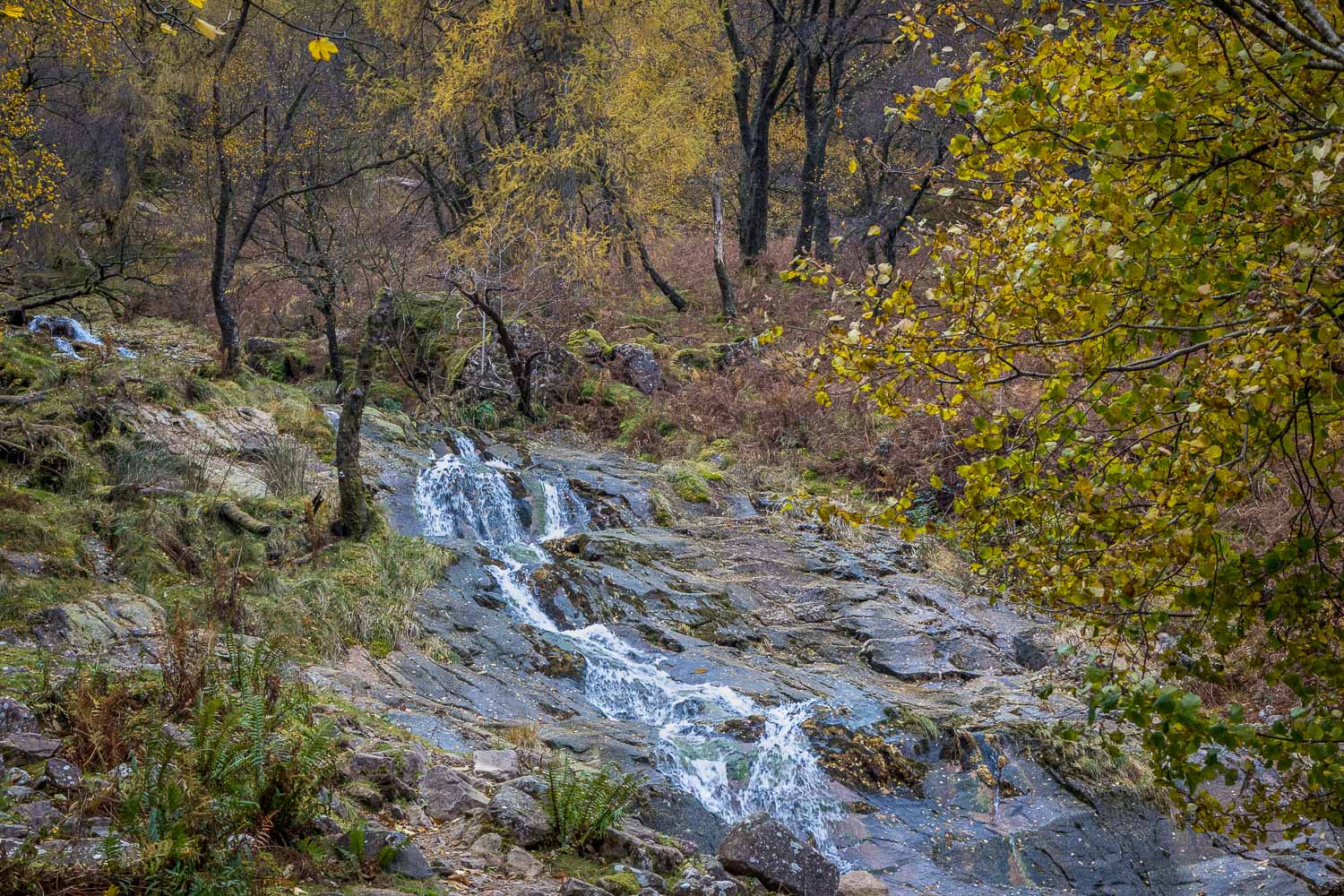
I parked in the National Trust Bowderstone car park and from here followed a path into Cummacatta Wood, an ancient woodland which is classified as temperate rainforest. The autumn colours were lovely, despite the light being overcast and rather gloomy. The woodland path gradually curves around the steep crags above – a direct assault on the fell would be impossible for ordinary walkers

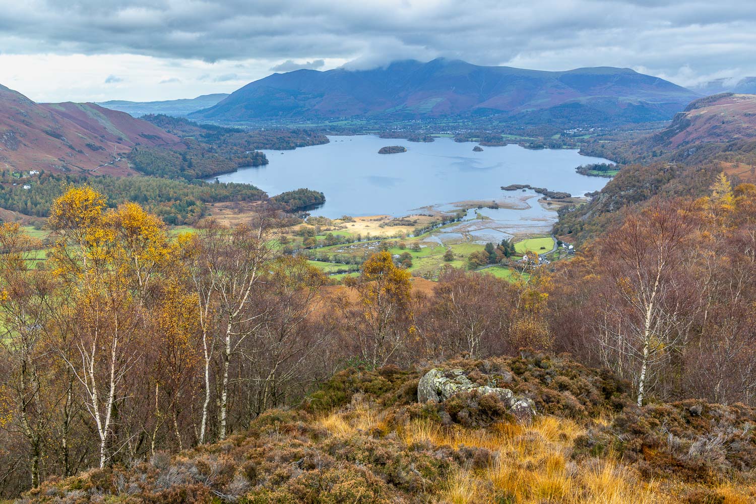
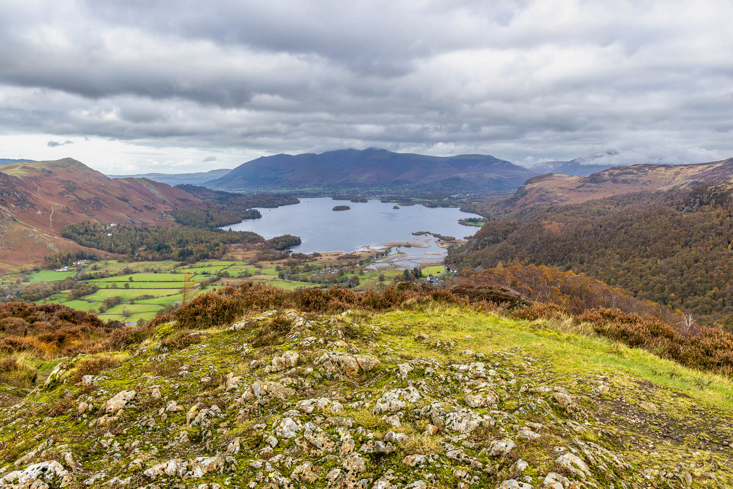
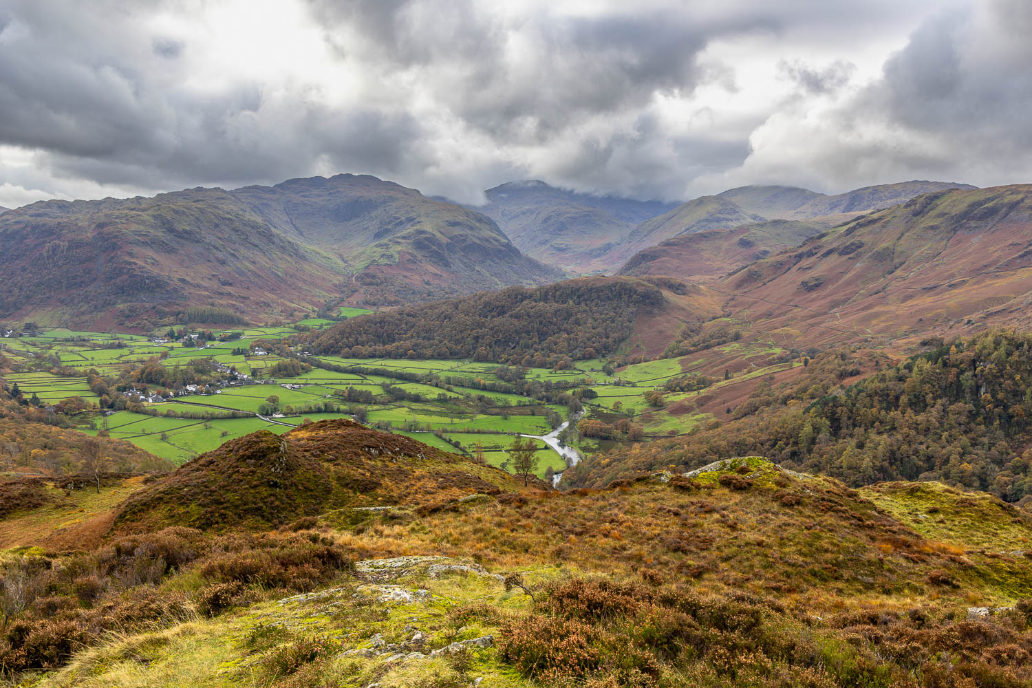
After walking through Cummacatta Wood I arrived at the steep rocky staircase which marks the start of the ascent. It’s an energy sapping climb (not helped by a fallen tree which necessitated an awkward detour today), but it’s quite a short one, and eventually emerges onto a flat marshy area known as Long Moss. From here I joined a path which snakes around the rockier sections of the top and leads to the summit of King’s How. From the summit there is a superb view over Derwent Water looking one way and Borrowdale looking the other

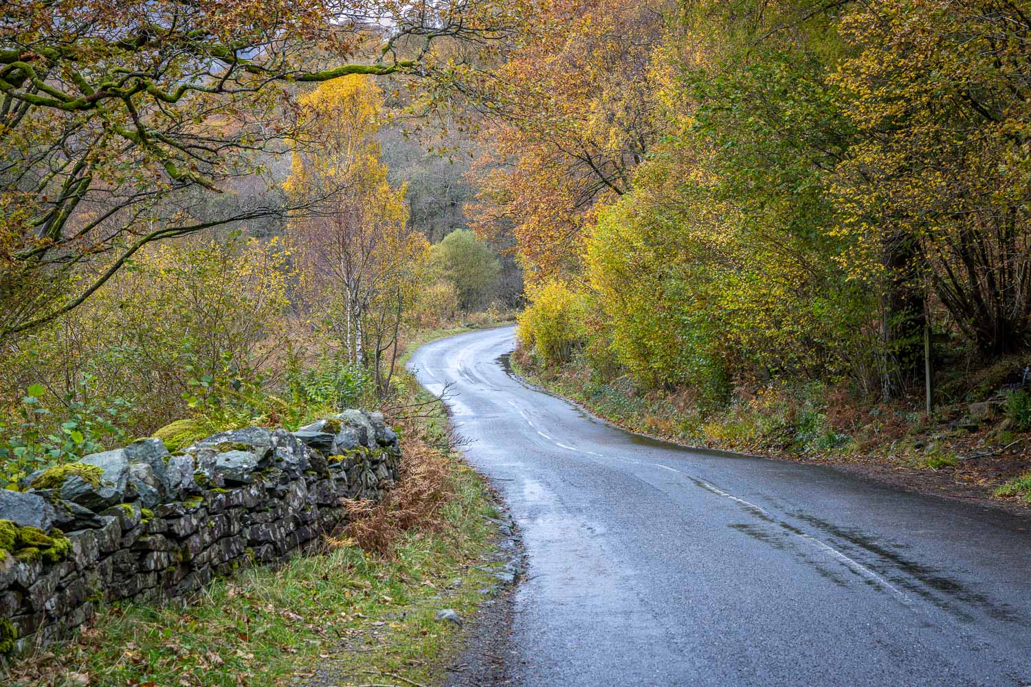
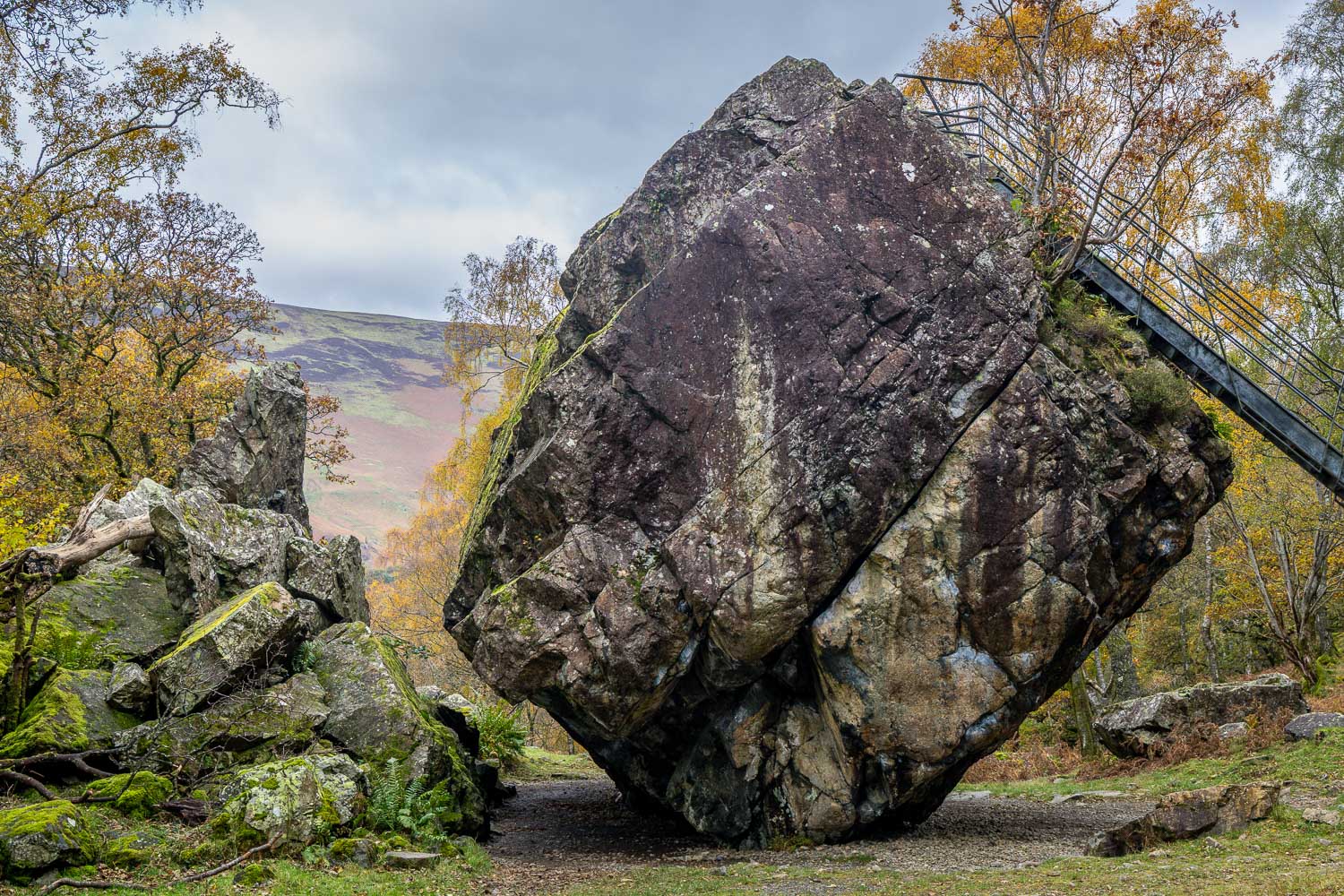
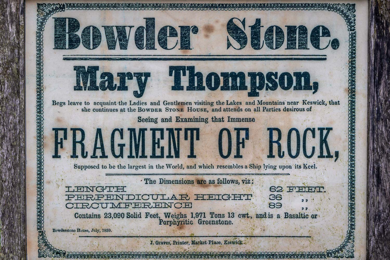
A direct descent from the summit is out of the question thanks to the crags on the west, so I followed a narrow path which snakes round the other side of the fell and which descends steeply. Towards the end of the descent high bracken can make the path quite hard to follow at times. Eventually I arrived at a wide and well made path which brought me down to the Borrowdale road.  I followed the road for a short distance – there’s a narrow footpath most of the way – then crossed over at the sign indicating the Bowderstone. I followed this path through the woods, past the massive Bowderstone and back to the car park. During the course of the walk I didn’t see another soul until I arrived back near the start

For anyone following this walk I’d mention that, although the route is only 3.5 miles long, it is likely to take as much time as one twice its length. It’s best to set aside a full morning or afternoon. The terrain is rocky and complicated and there are very few sections where it’s possible to get into a proper stride. Walking poles are a very useful piece of kit to bring along, especially in wet weather when the rocks are wet and slippery

For other walks here, visit my Find Walks page and enter the name in the ‘Search site’ box

Click on the icon below for the route map (subscribers to OS Maps can view detailed maps of the route, visualise it in aerial 3D, and download the GPX file. Non-subscribers will see a base map)

Scroll down – or click on any photo to enlarge it and you can then view as a slideshow

Posted by Andrewswalks in Central, Lake District
Isle of Ulva

Isle of Ulva

Route: Livingstone walk, Ulva

Area: Isle of Ulva, Inner Hebrides, Scotland

Date of walk: 16th September 2026

Walkers: Andrew and Gilly

Distance: 4.7 miles

Ascent: 500 feet

Weather: Mixed cloud and sunny spells, several rain showers

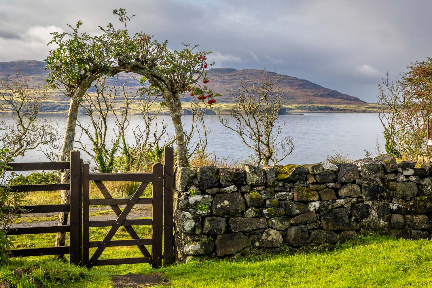
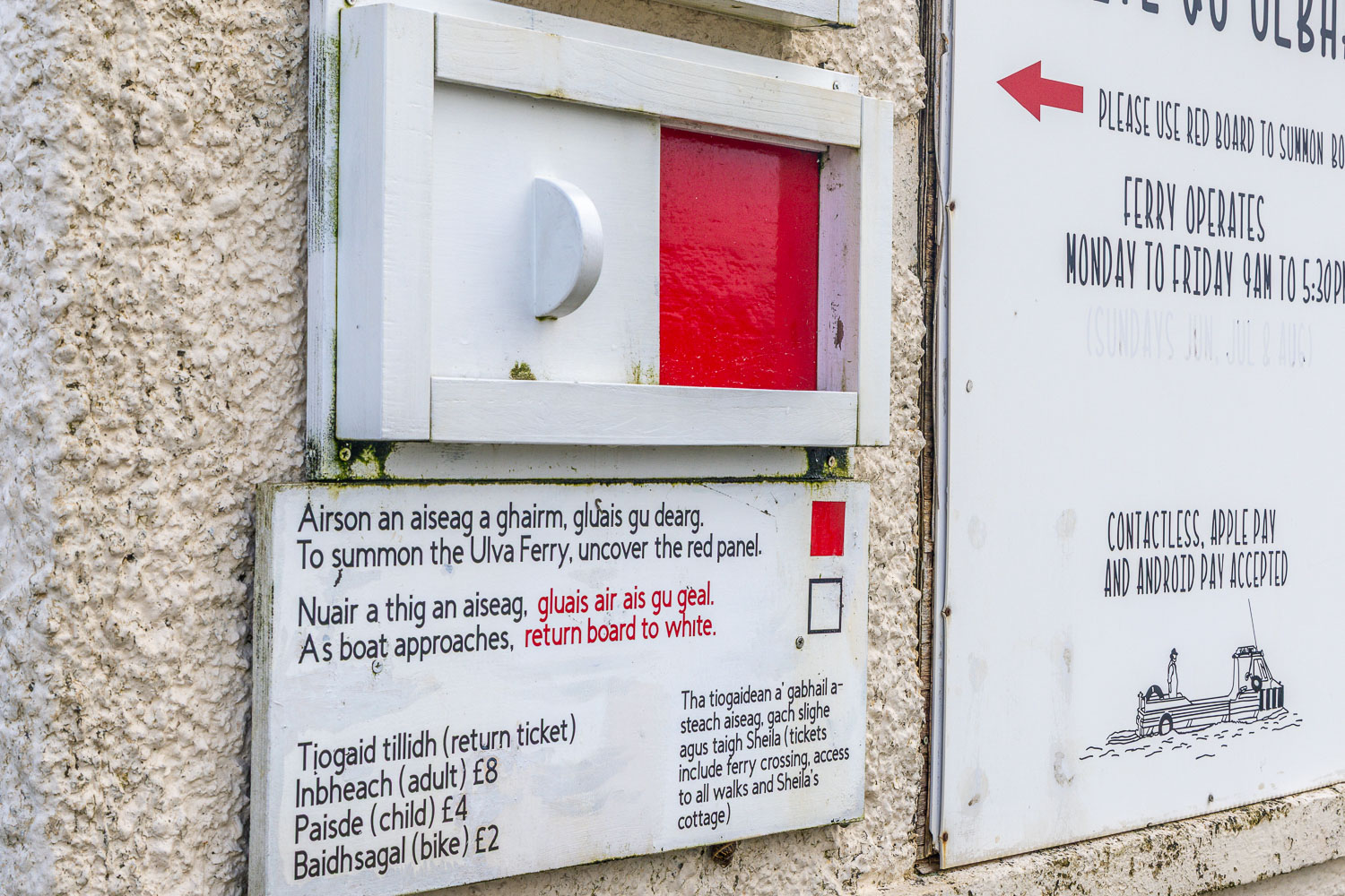
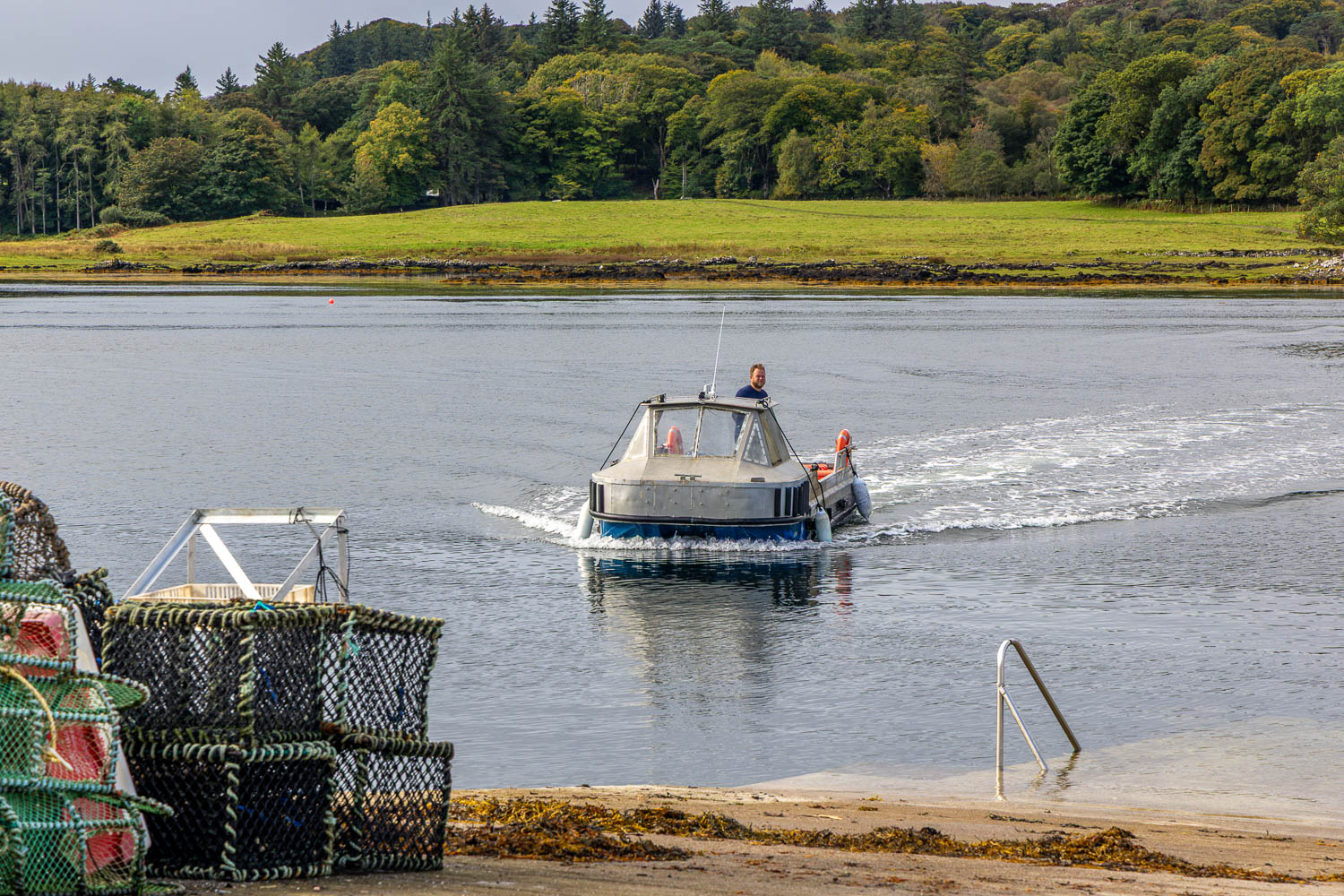
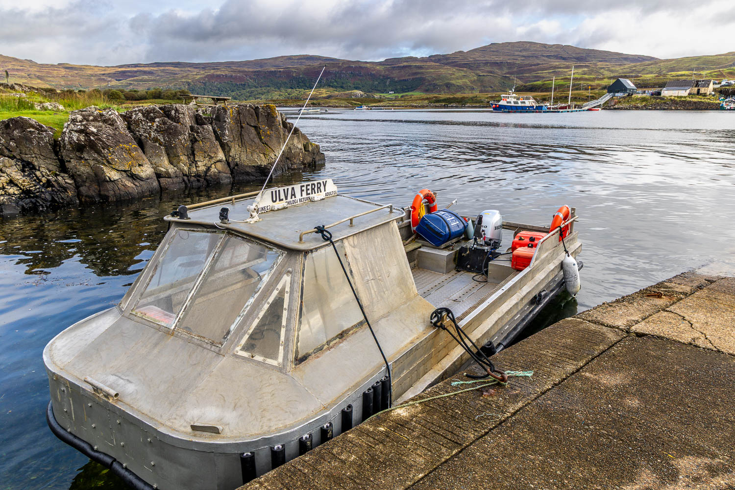
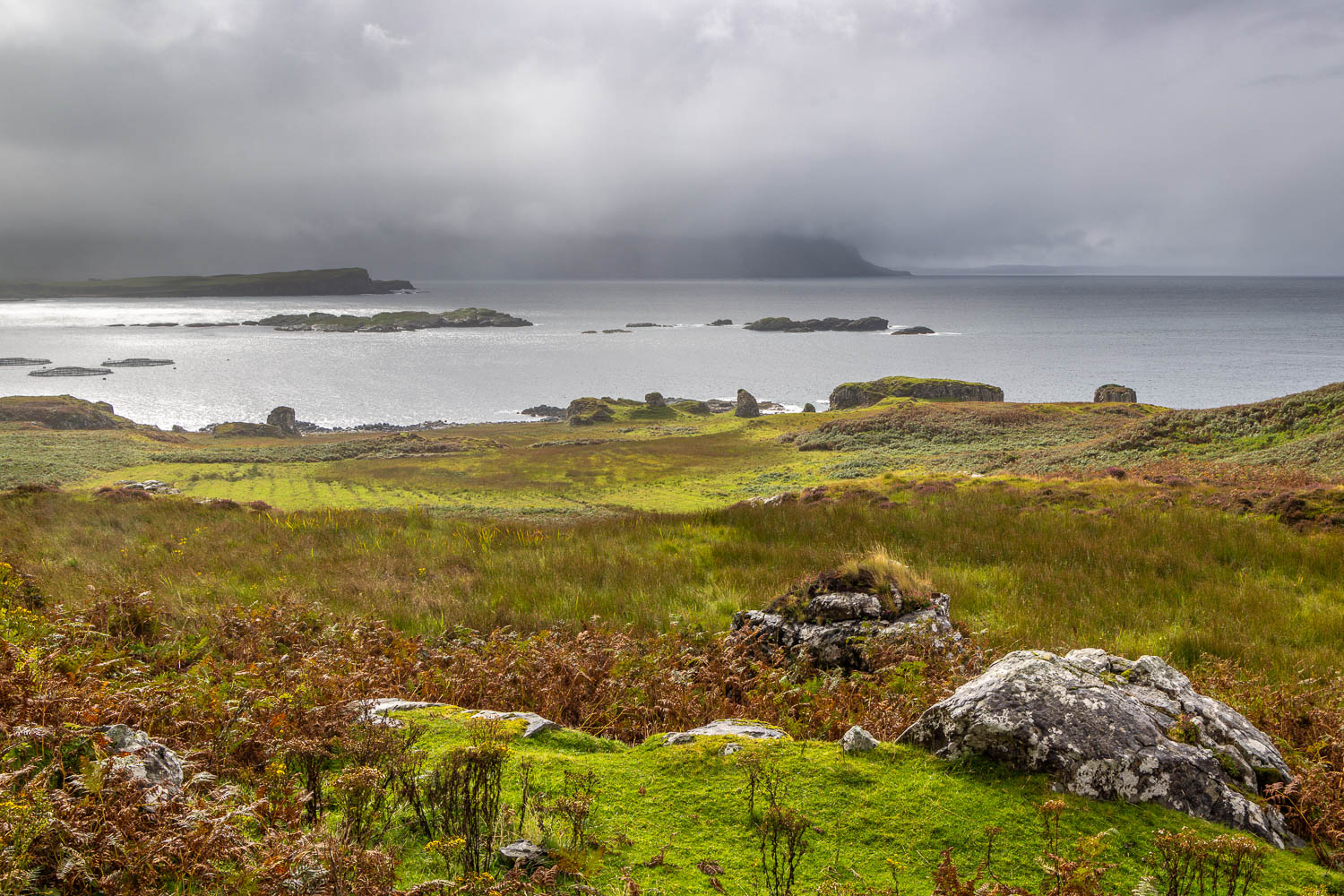
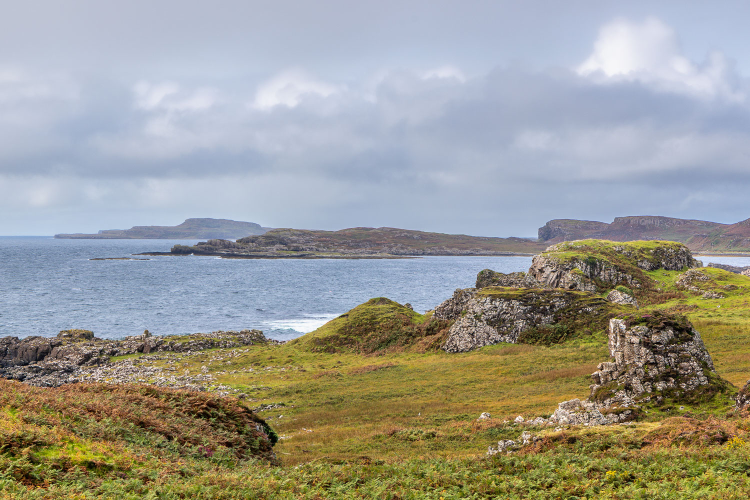
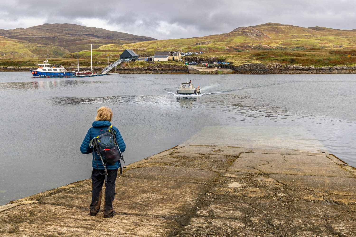
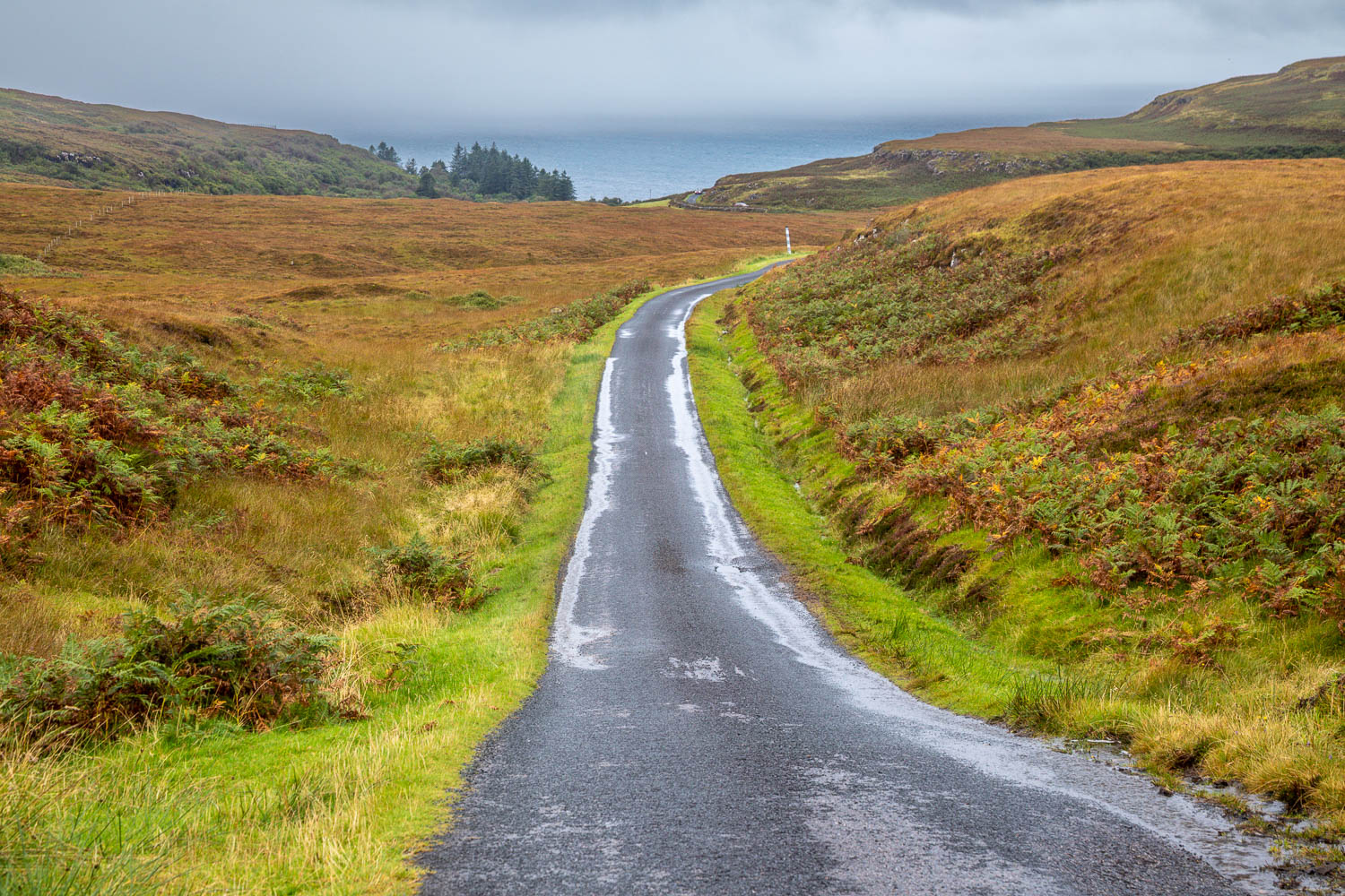
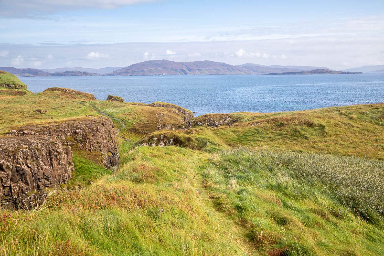
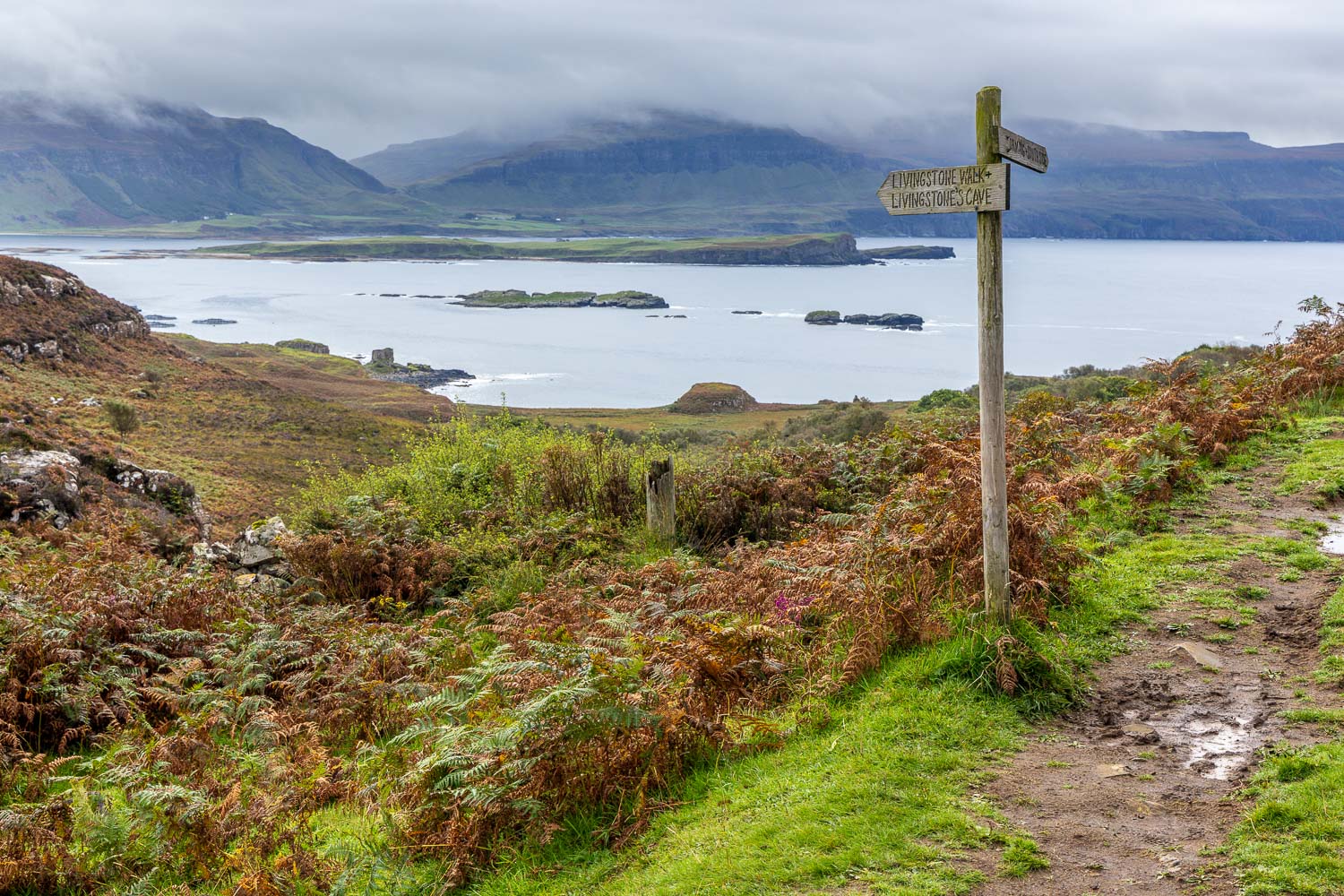
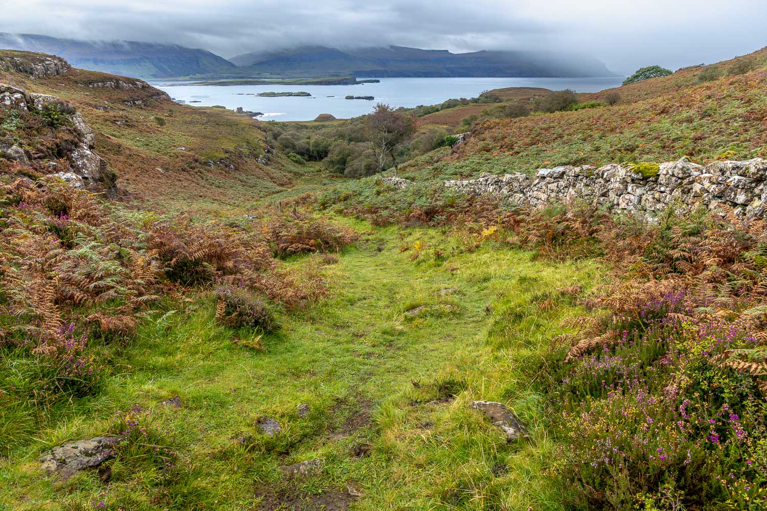
We’ve gazed over at the Isle of Ulva many times this week. The island is separated from our temporary base on Mull by a narrow strait and can be acccessed by ferry at its narrowest point. Note that the ferry does not operate at weekends nor out of season, check here for details. We made the short journey to the ferry terminal, where we left the car. Uniquely, the small ferry is summoned by uncovering a red panel on a board. When the ferryman sees this, he comes to collect his passengers. Following a 5 minute journey we disembarked on Ulva and set off of the Livingstone walk, so named because the grandparents of explorer David Livingstone lived on a croft on the island

Livingstone’s ancestors would have lived among a population of hundreds, but in the mid-19th century Ulva was swept up in the Highland Clearances. The kelp industry failed, the potato blight caused famine on the west coast and tenants were unable to pay their rents or were starving. By the 20th century only a handful of residents remained. A new chapter was opened in 2018 when Ulva was successfully purchased by the local community with the goal of revitalising Ulva’s population and creating opportunities for housing, employment and tourism

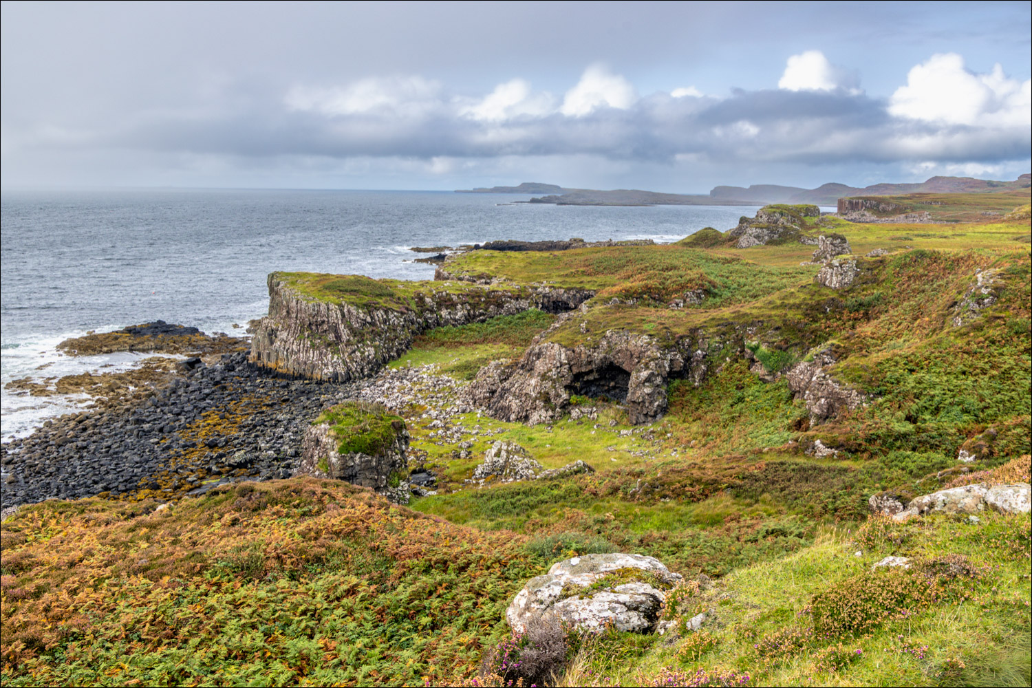
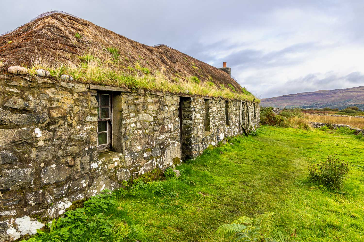
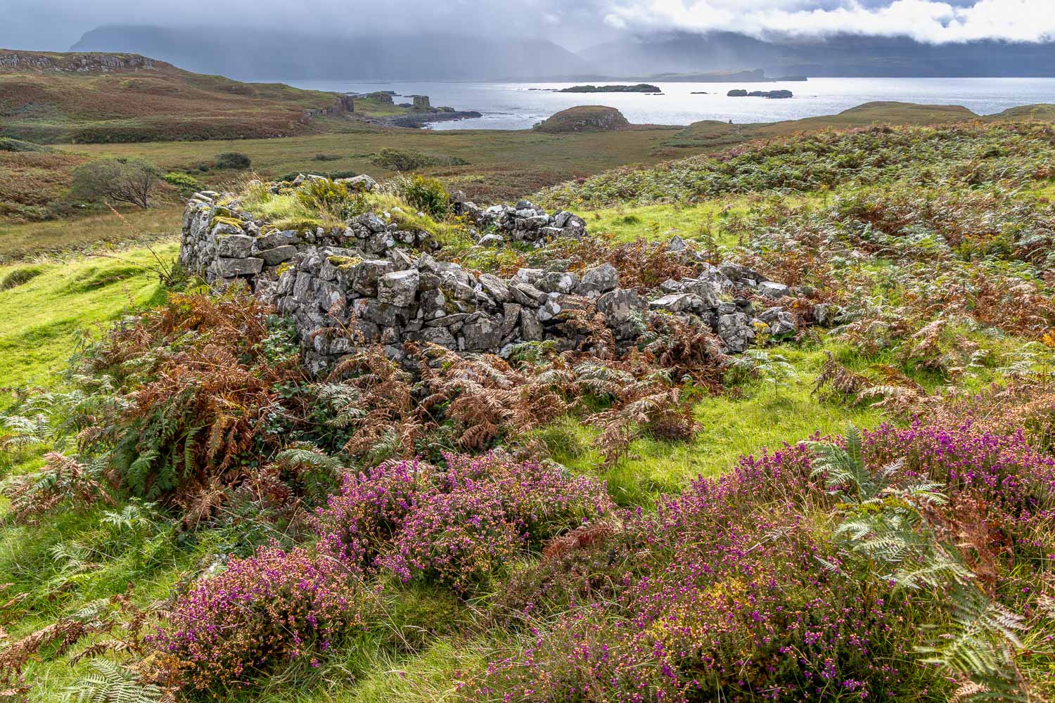
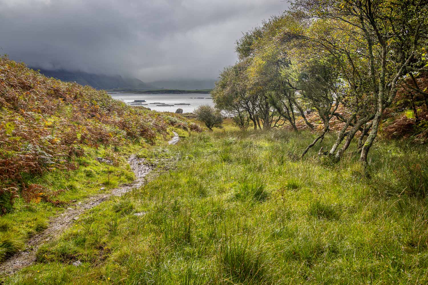
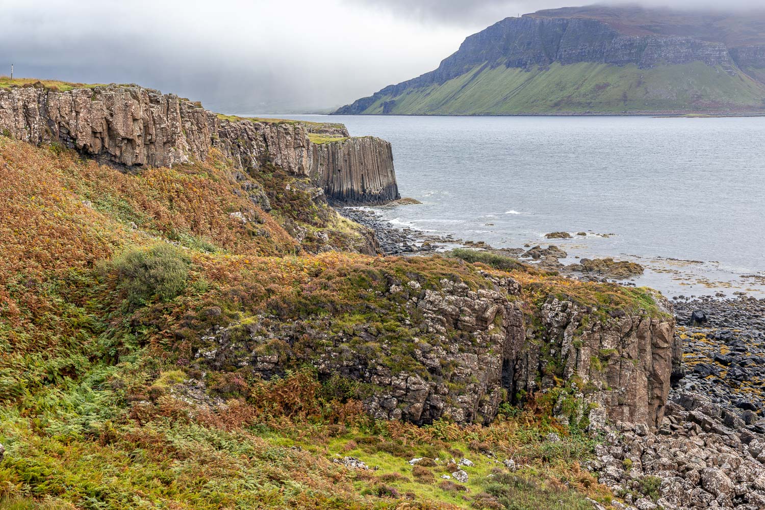
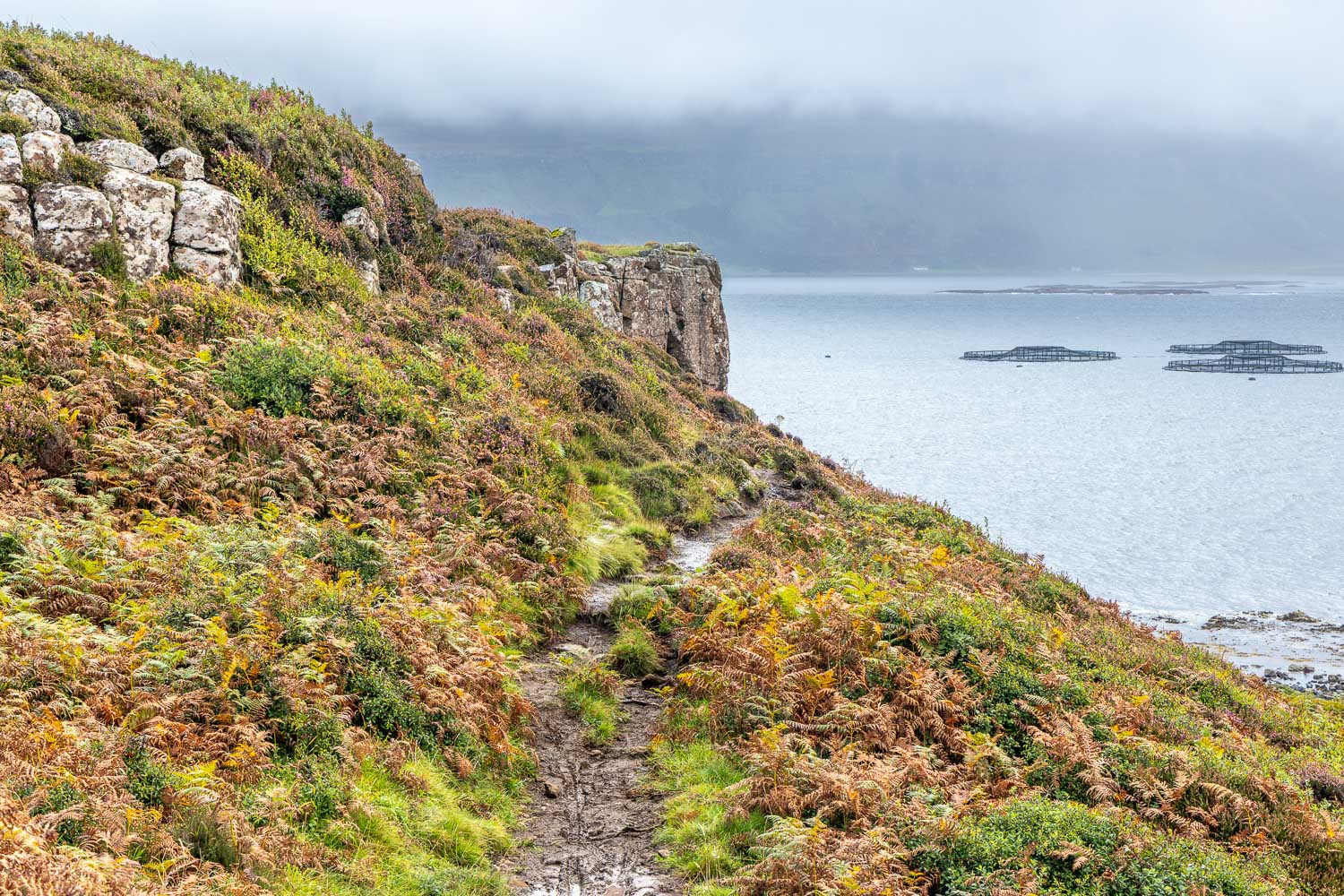
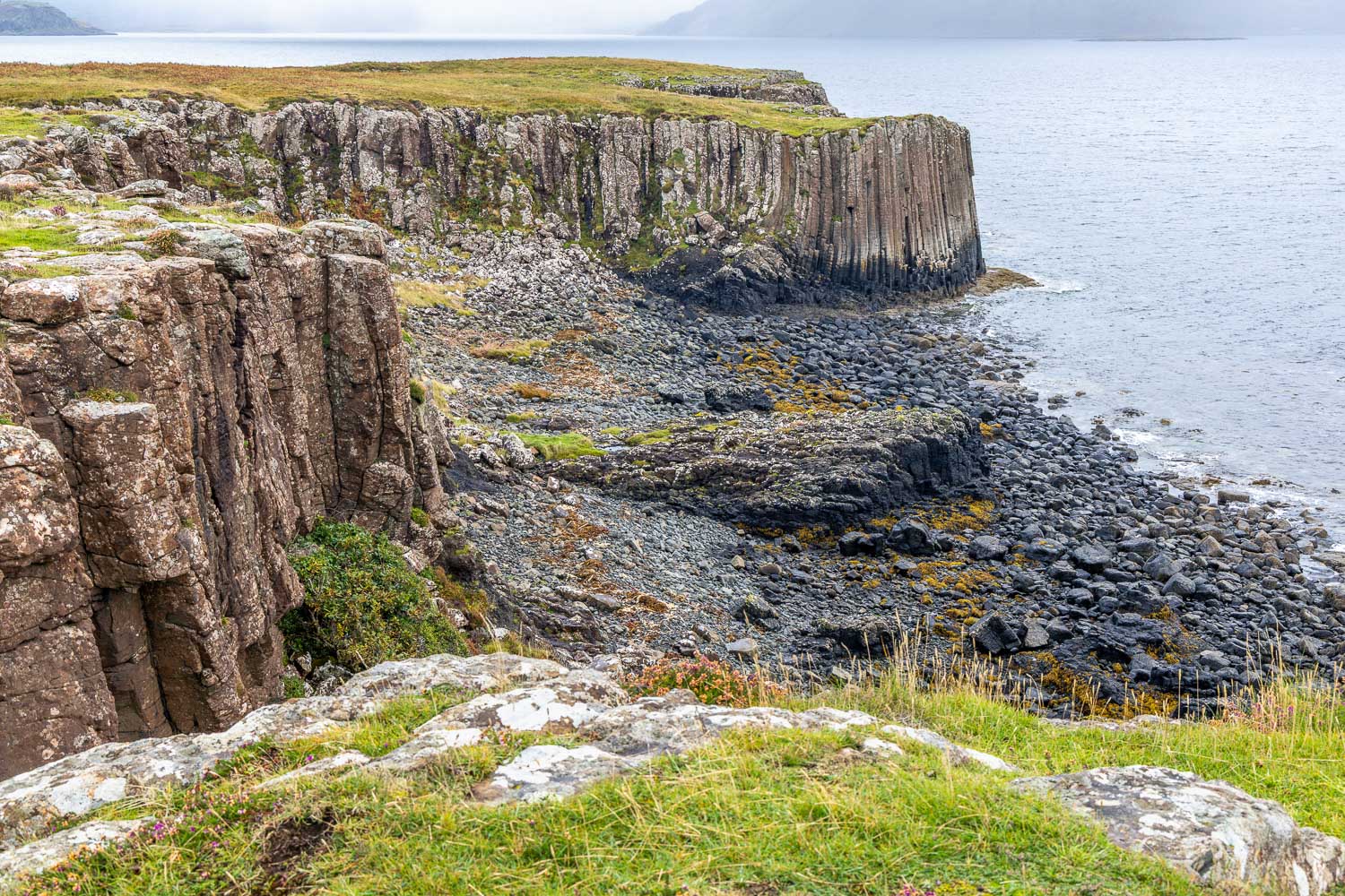
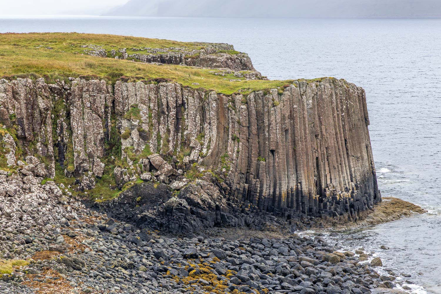
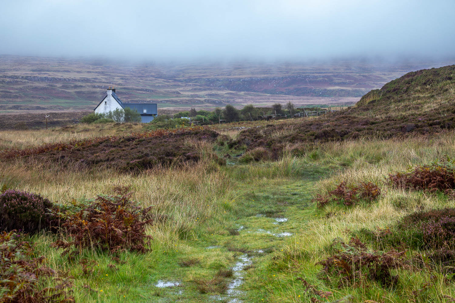
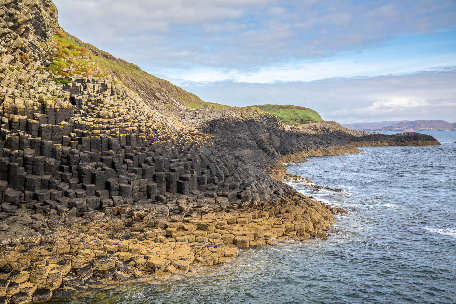
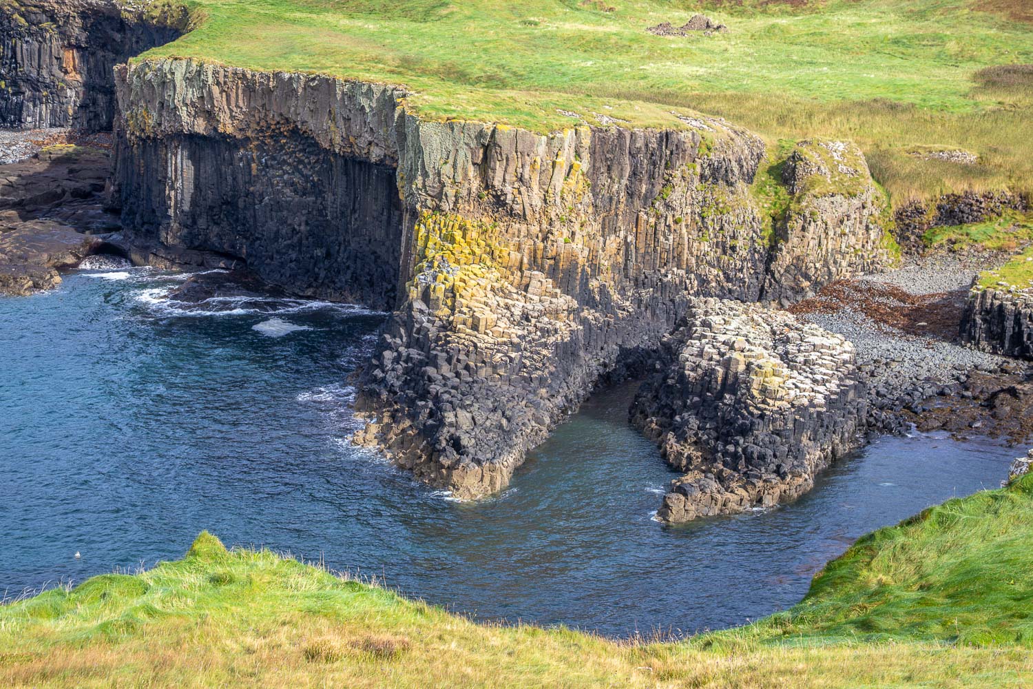
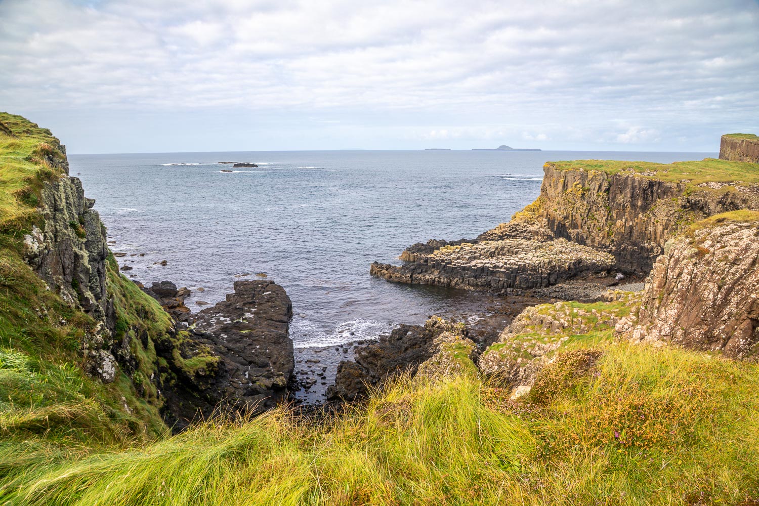
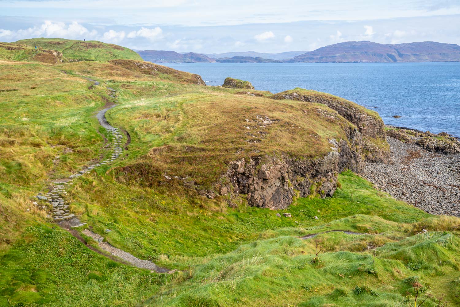
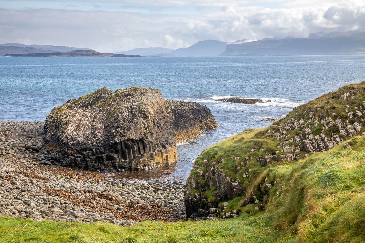
The initial part of the walk was along a wide track through woodland. This emerged onto open moorland and from here we headed down towards the coast, pausing at the ruins of a cottage said to be that of David Livingstone’s grandparents. The path along this section, and for much of the remainder of the route, was exceptionally muddy – this is not a walk to be undertaken in trainers. A brief coastal section gave us good views of impressive basalt columns, similar to those we’d seen on Staffa earlier in the week

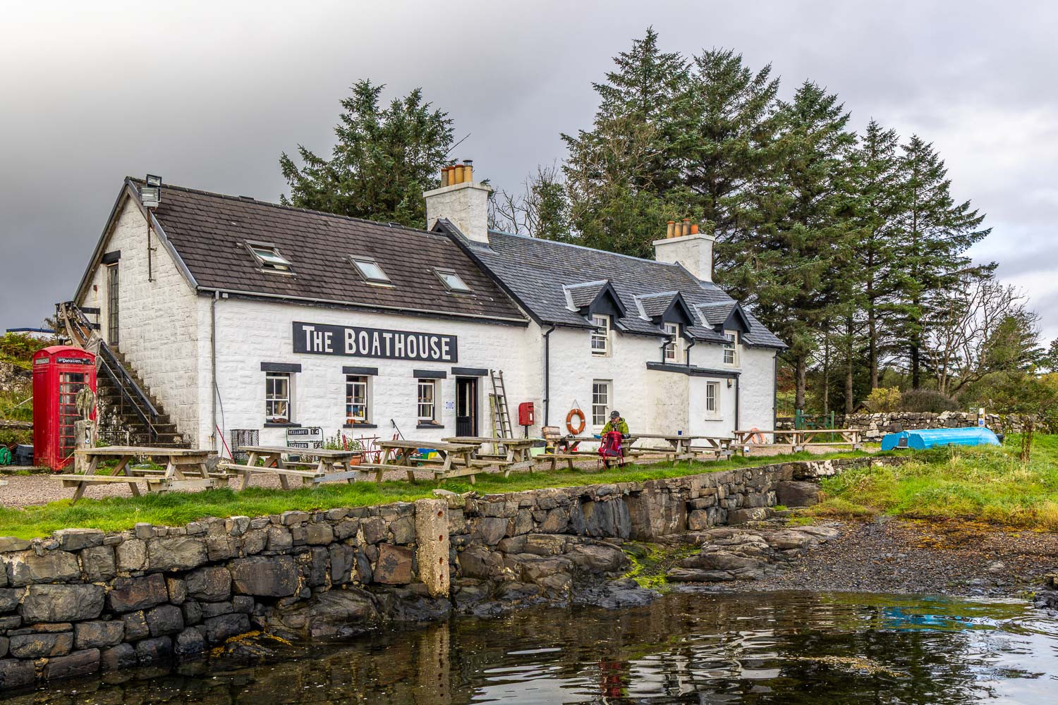
We then turned inland, passing by Ulva House which has recently acquired fame thanks to a BBC programme Banjo and Ro’s Grand Island Hotel.  From here it was a short stroll back to the start, where we enjoyed refreshments at the excellent Boathouse before catching the ferry back to Mull 
Click on the icon below for the route map (subscribers to OS Maps can view detailed maps of the route, visualise it in aerial 3D, and download the GPX file. Non-subscribers will see a base map)

Scroll down – or click on any photo to view as a slideshow

Follow the link for more walks in Scotland (50)

Posted by Andrewswalks in Hebrides, Scotland
Treshnish coast

Treshnish coast

Route: Treshnish coast

Area: Isle of Mull, Scotland

Date of walk: 15th September 2026

Walkers: Andrew and Gilly

Distance: 7.1 miles

Ascent: 500 feet

Weather: Mixed cloud and sunny spells, several rain showers

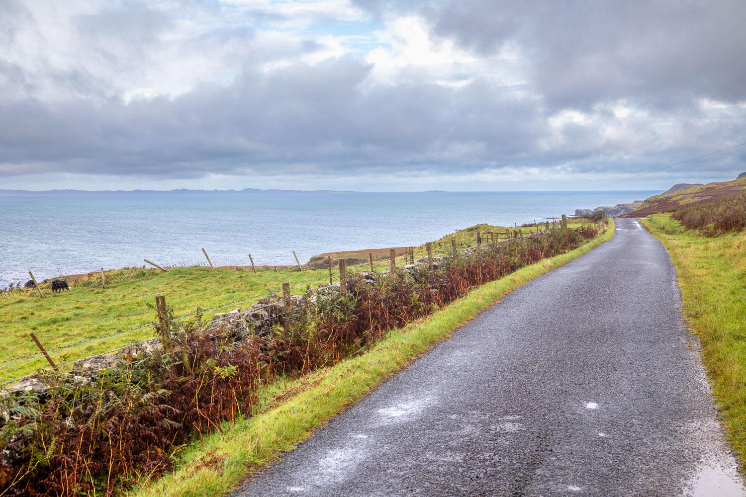
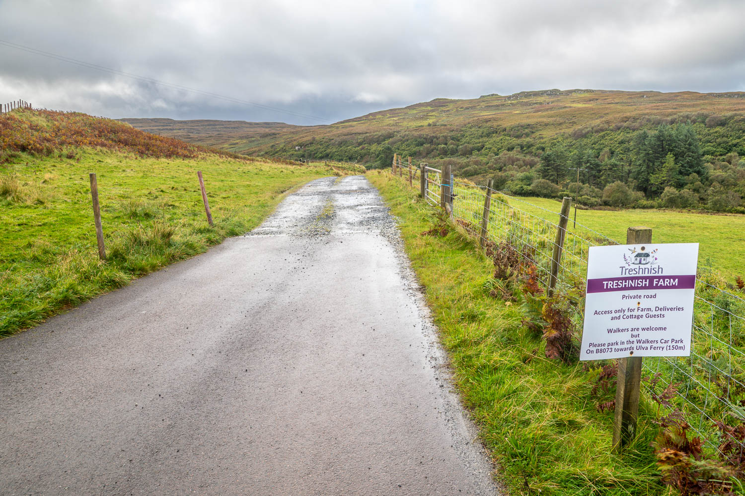
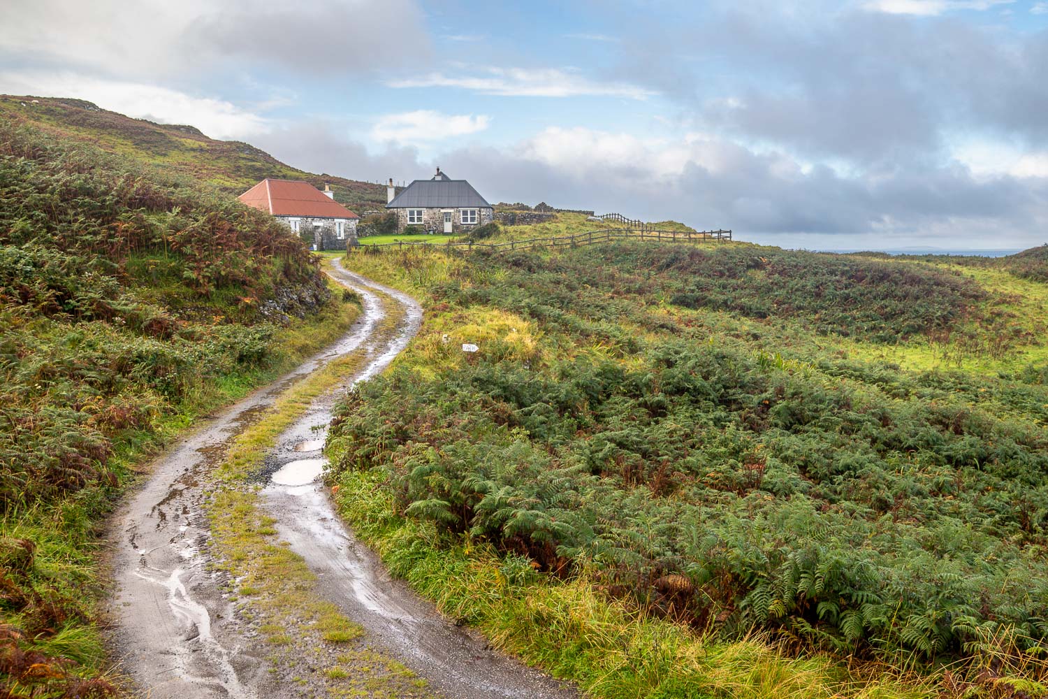
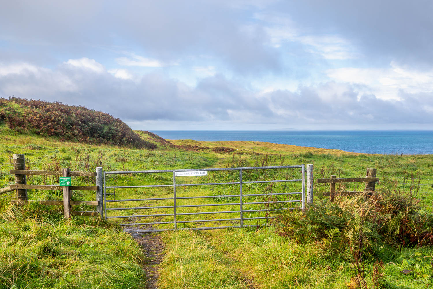
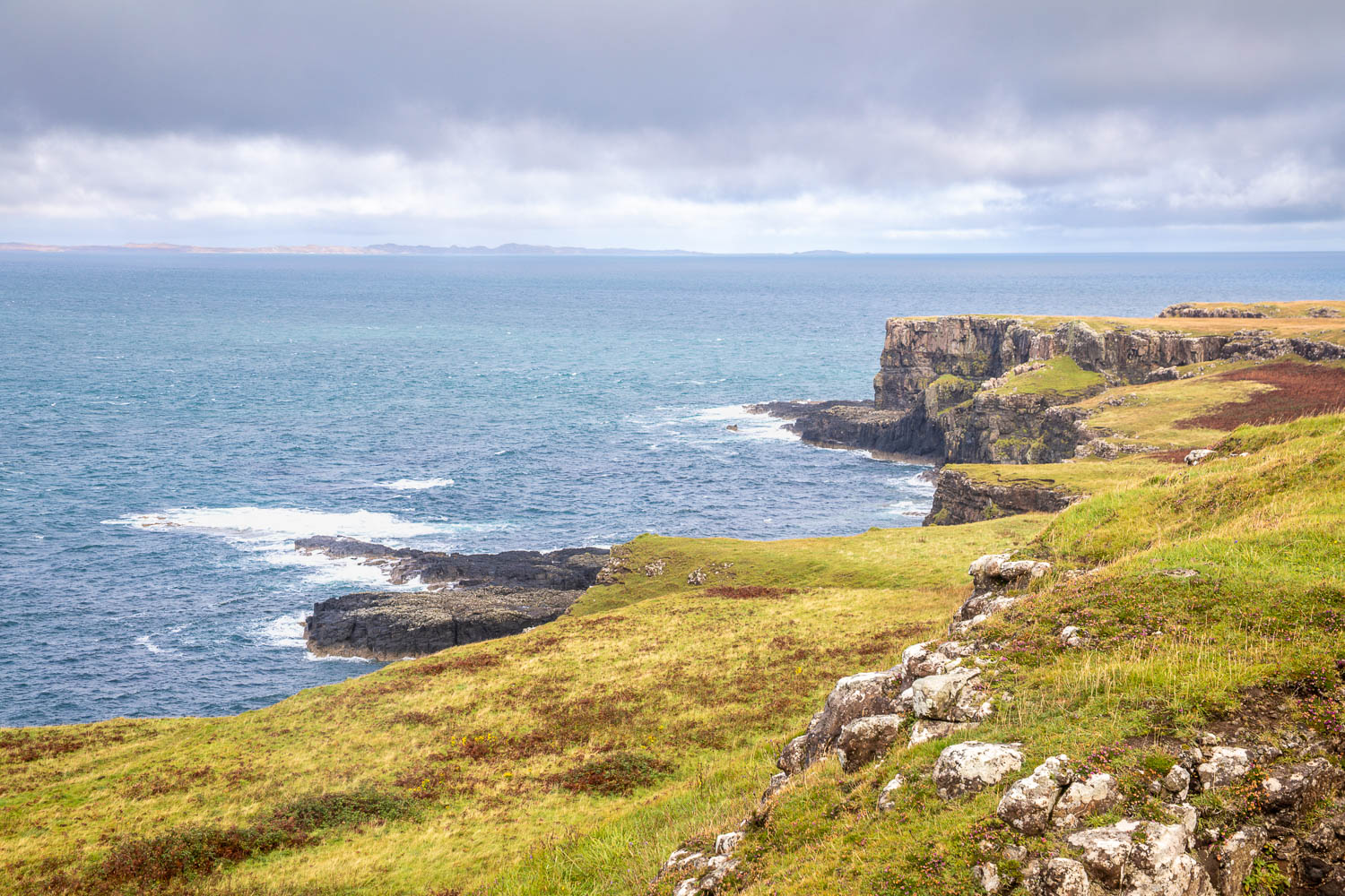
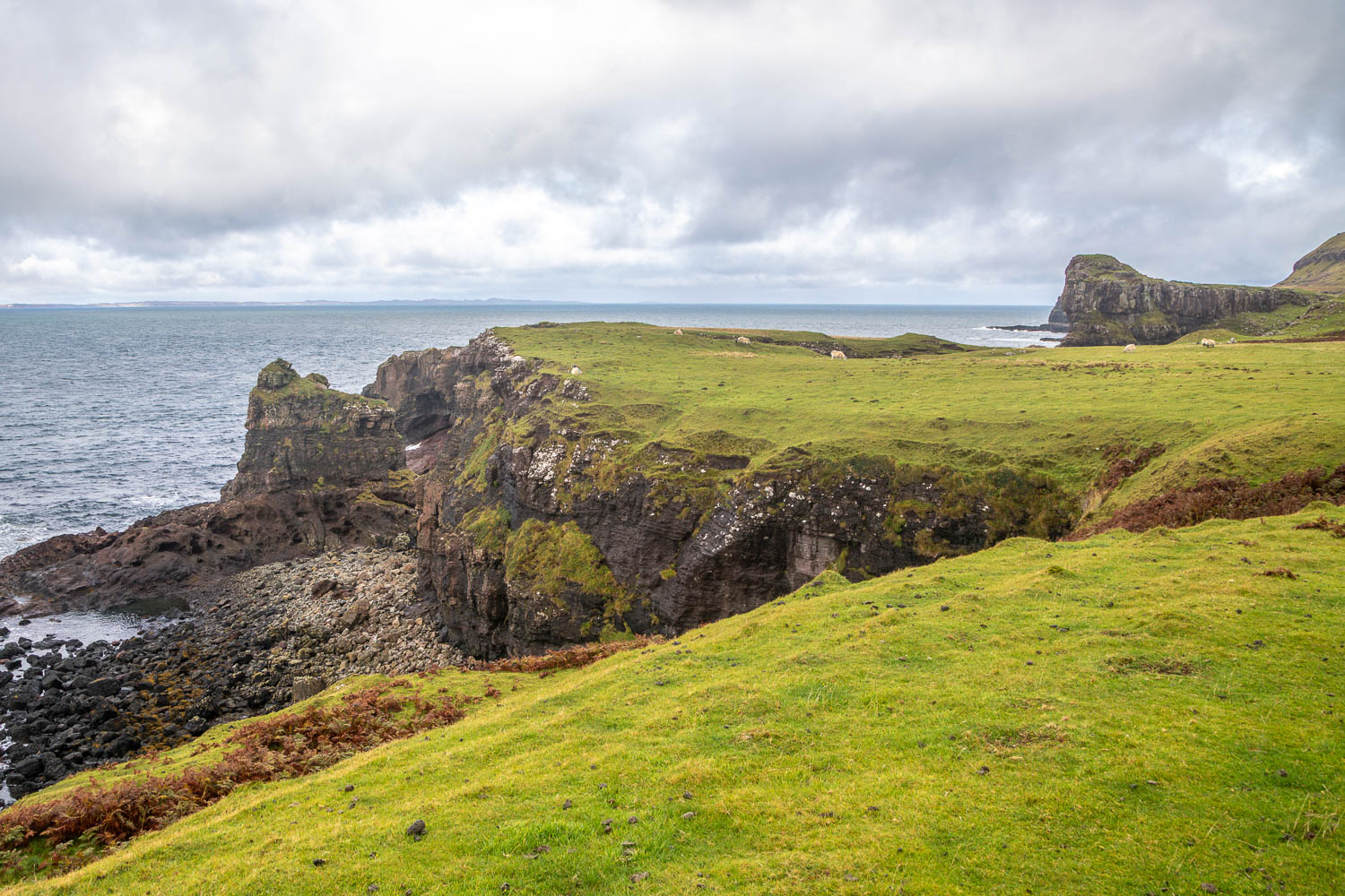
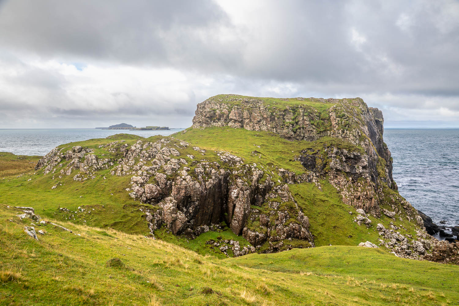
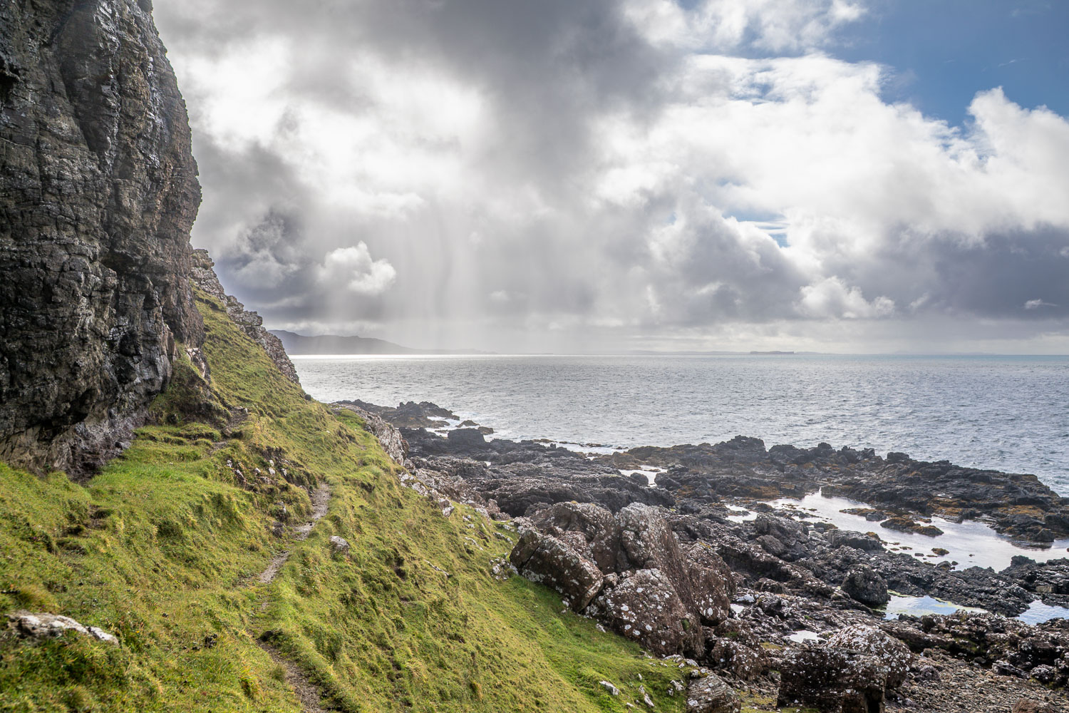
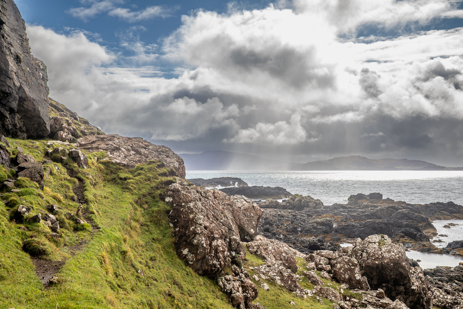
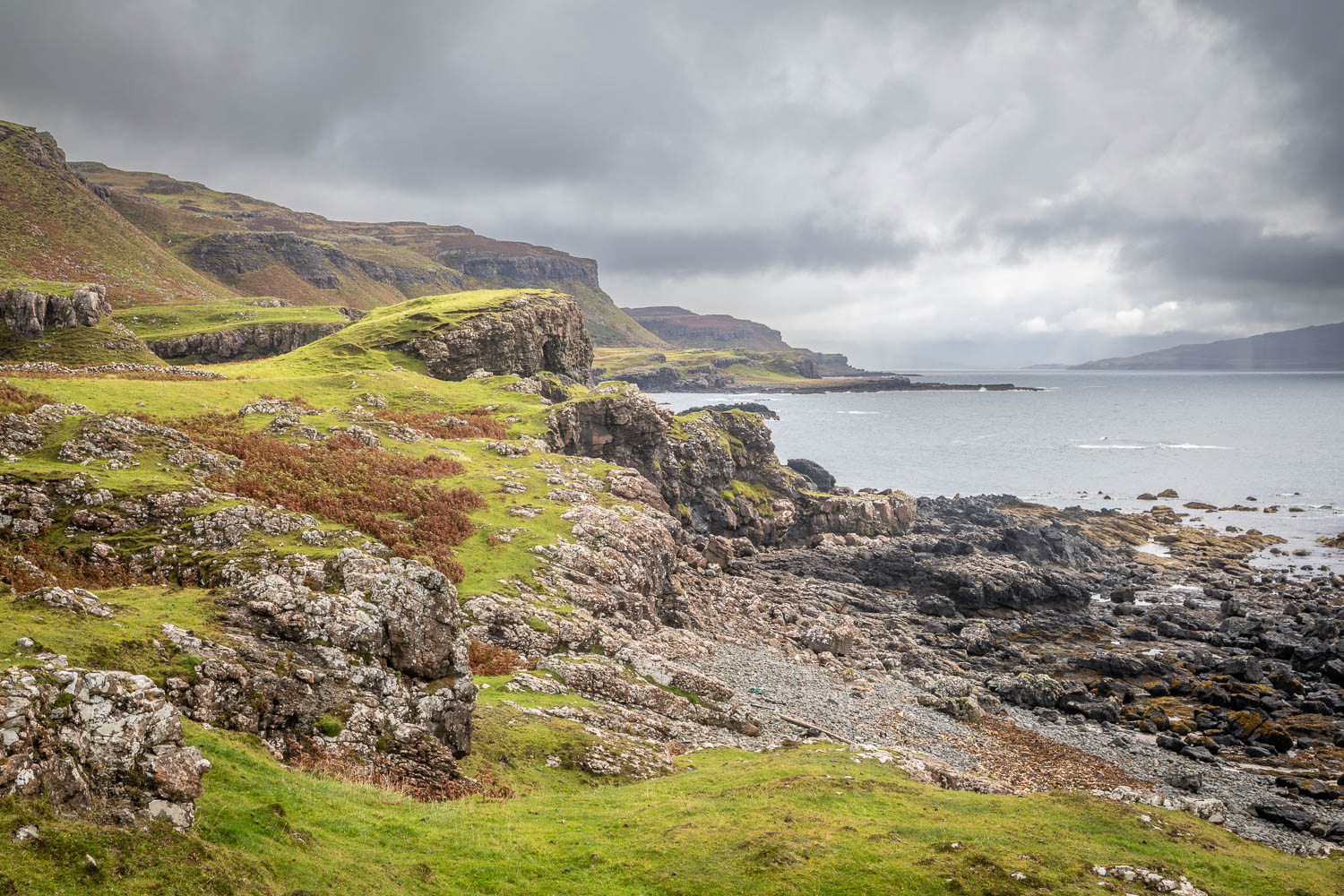
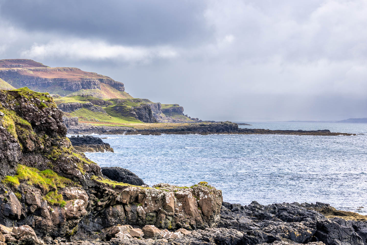
The Treshnish peninsula is located on the north west of the Isle of Mull, and is known for its dramatic cliffs. Some inland walking is required before the Treshnish coast is reached. We parked in an old quarry along the B8073, near Ensay, where there is room for 6-7 cars. We walked along the single track road for a short distance before turning left to join the track to Treshnish, where the Atlantic Ocean came into view. We continued across the moor, following an easy track, and passed by the remote cottages at Haunn

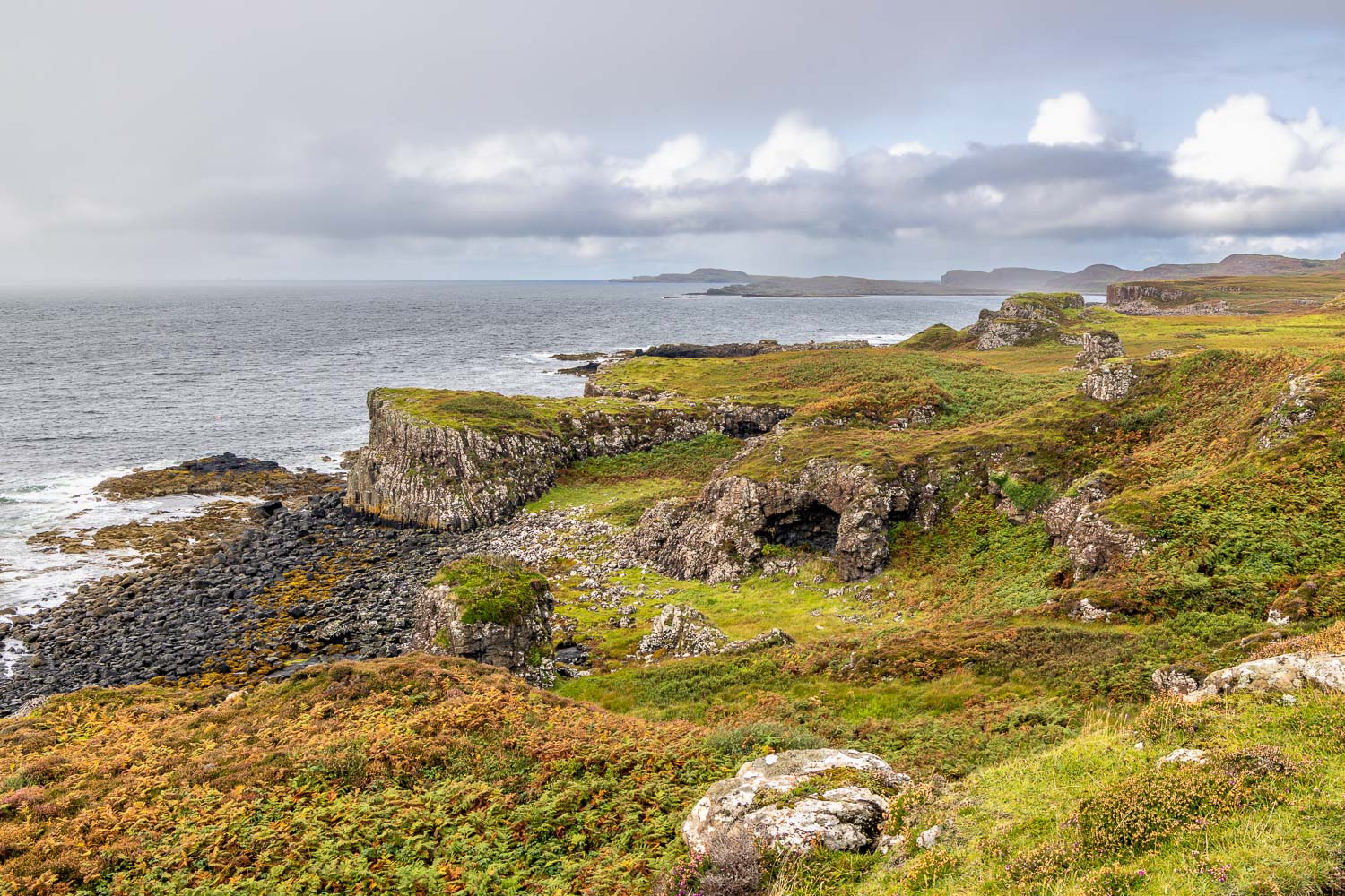
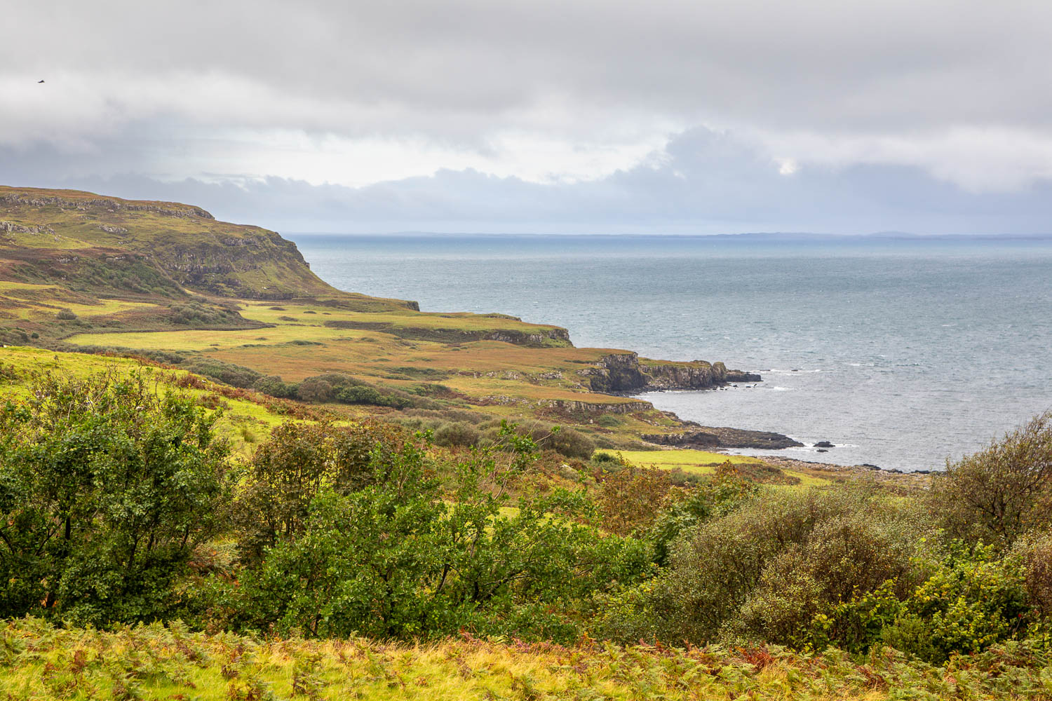
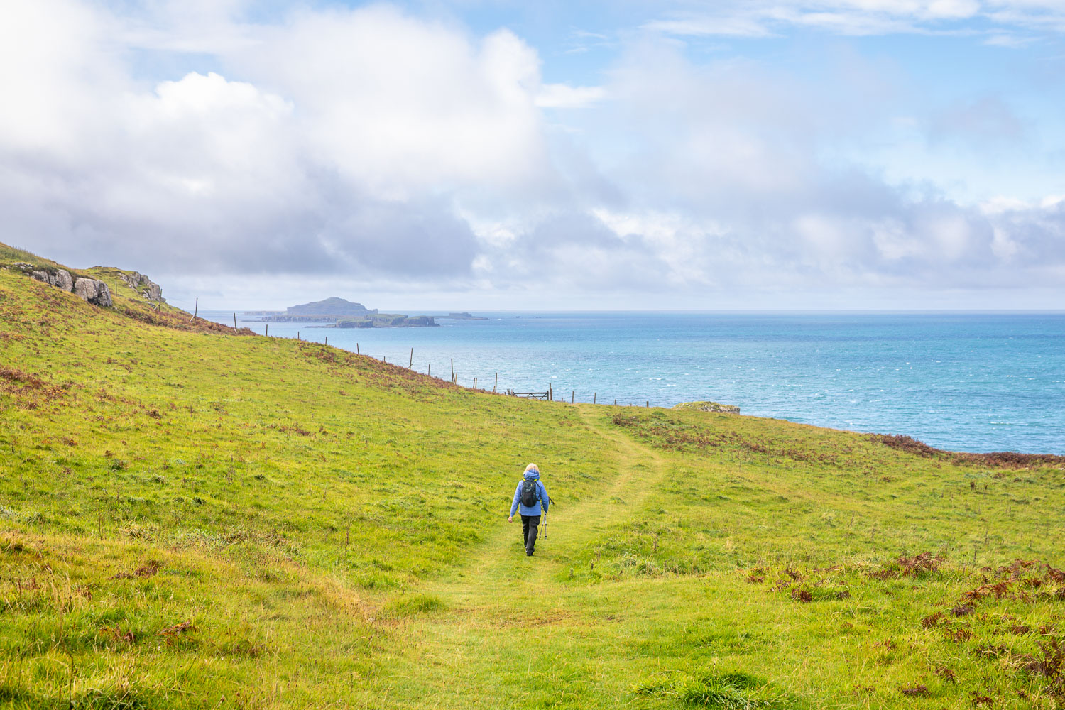
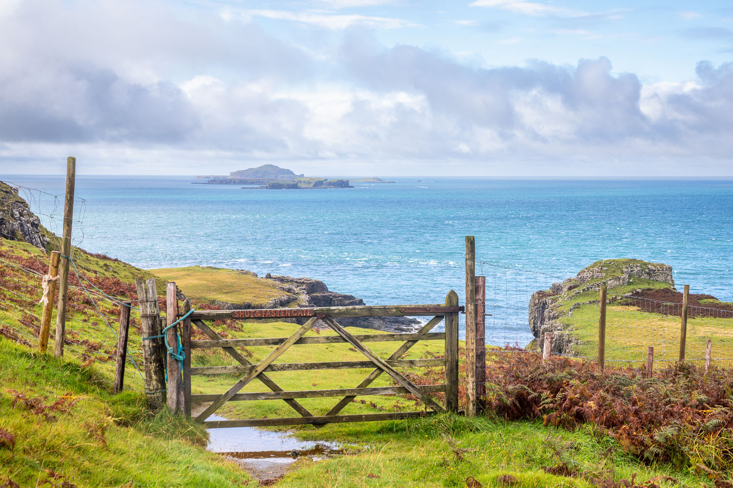
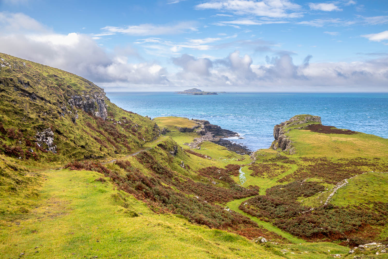
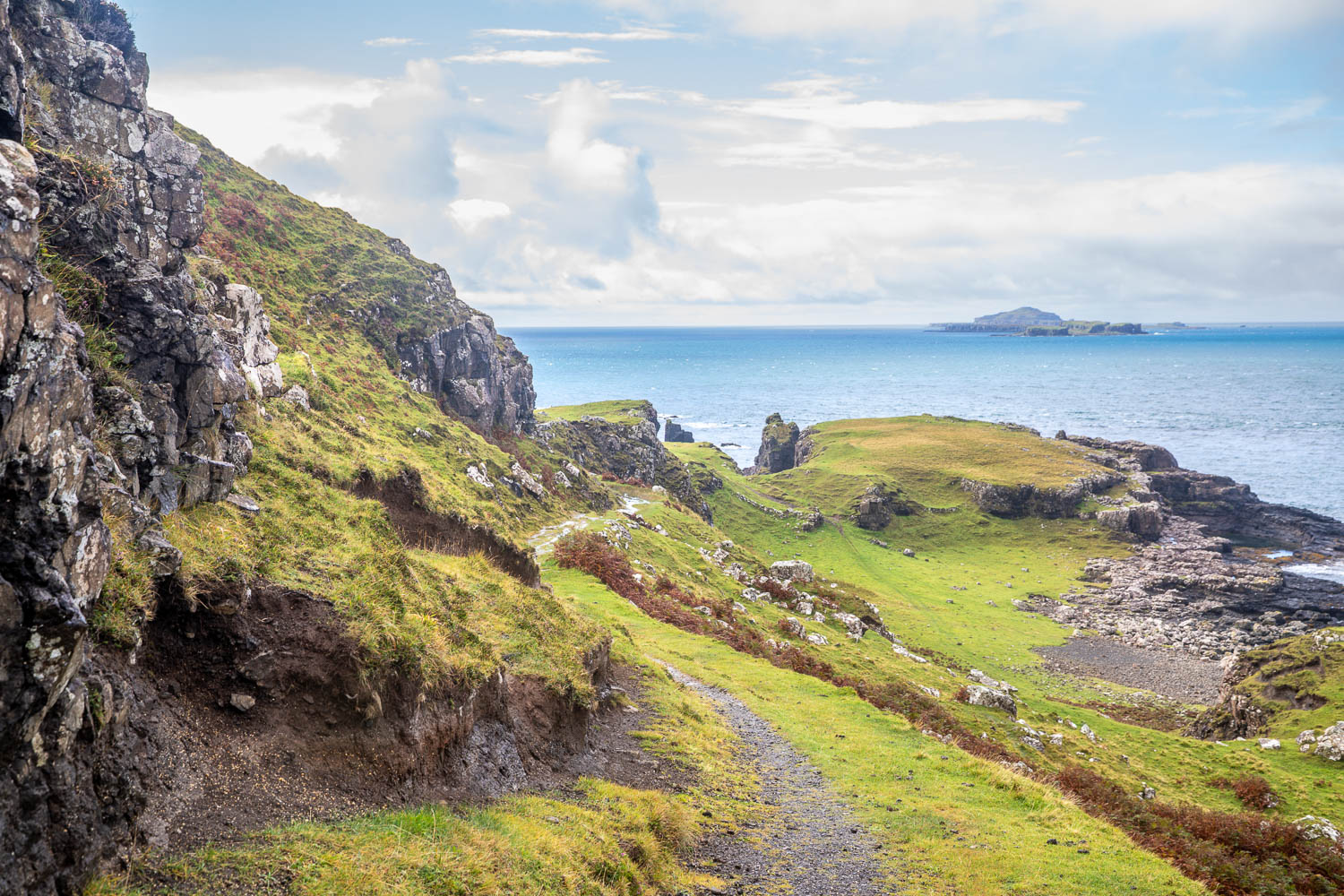
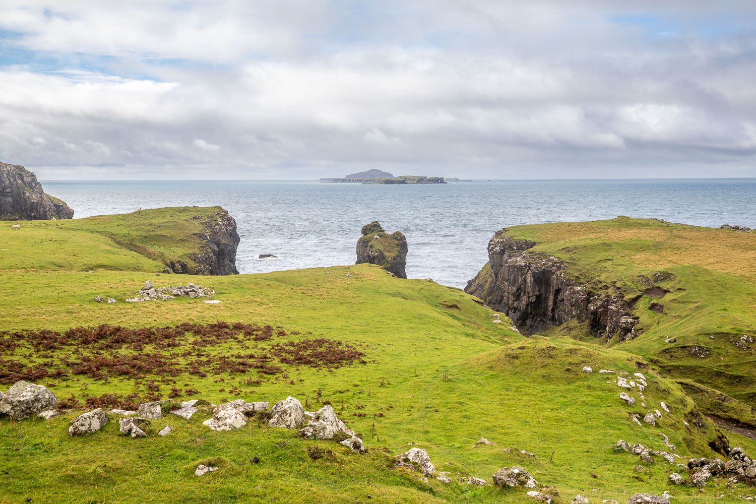
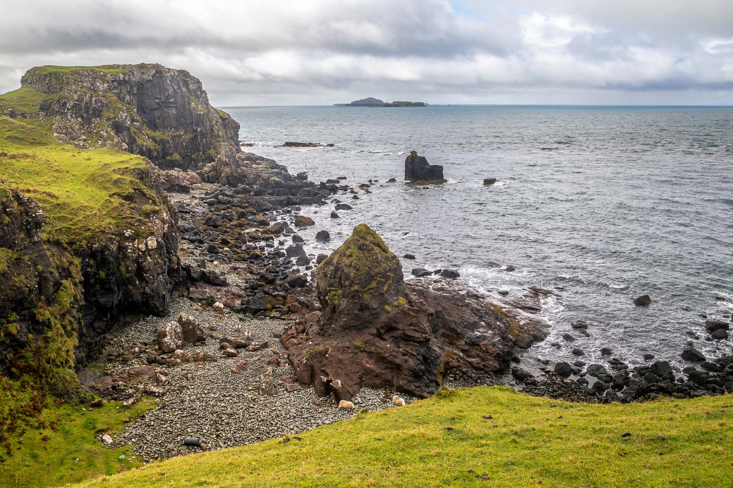
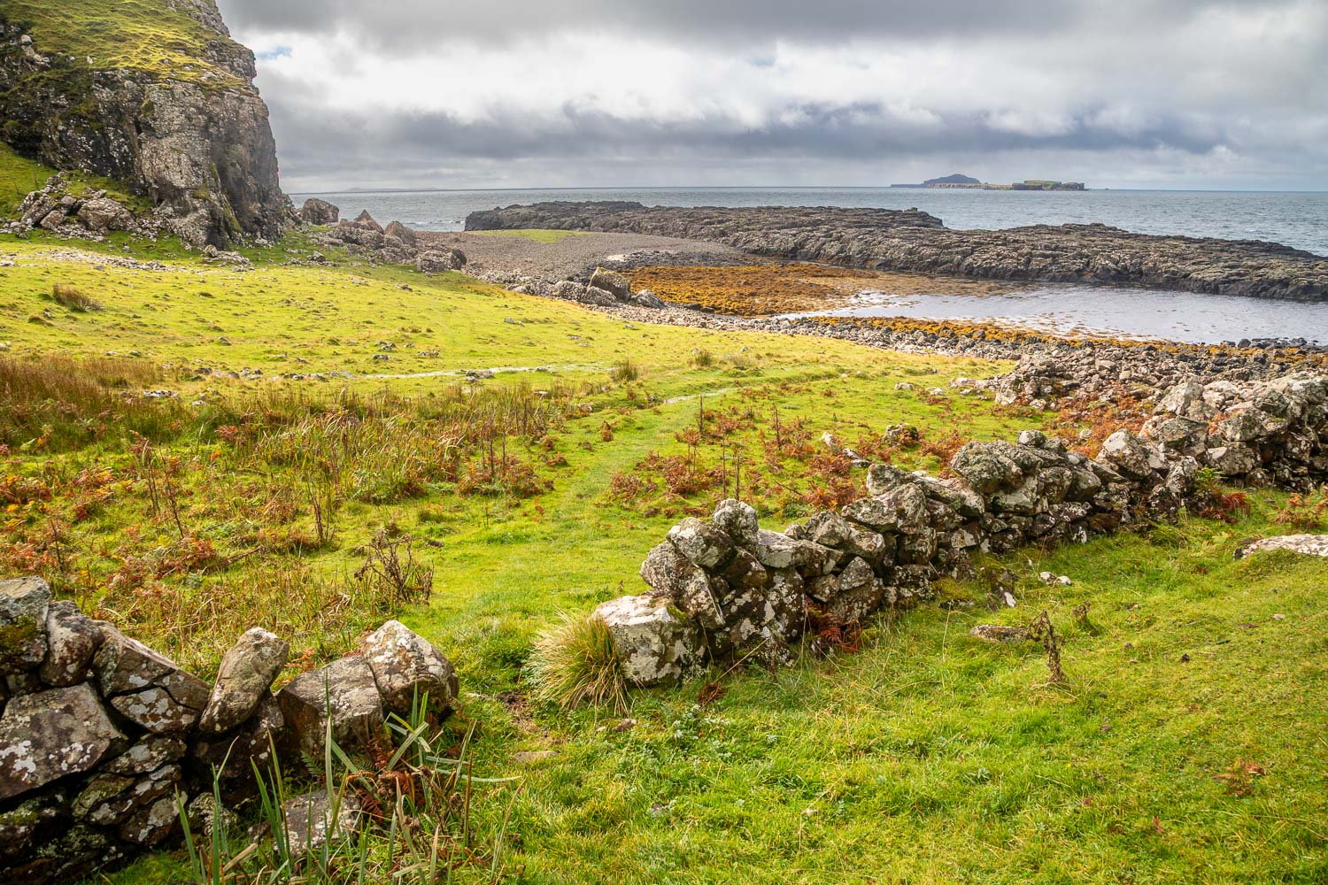
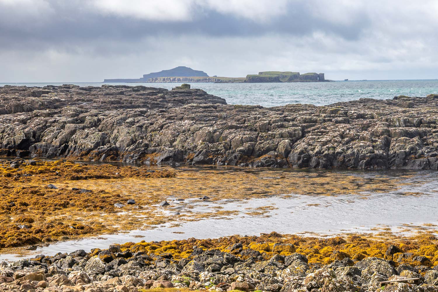
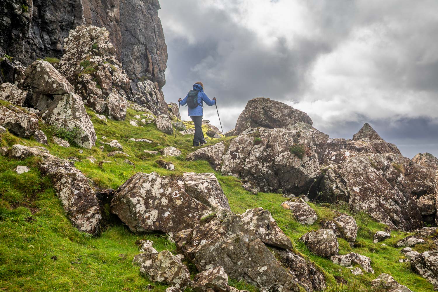
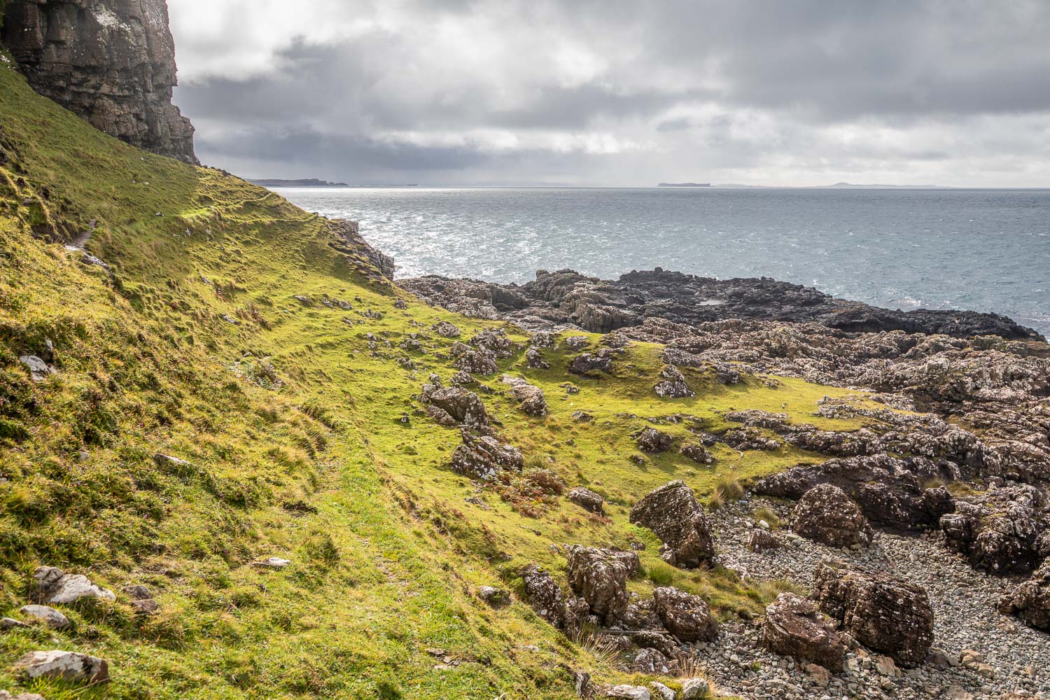
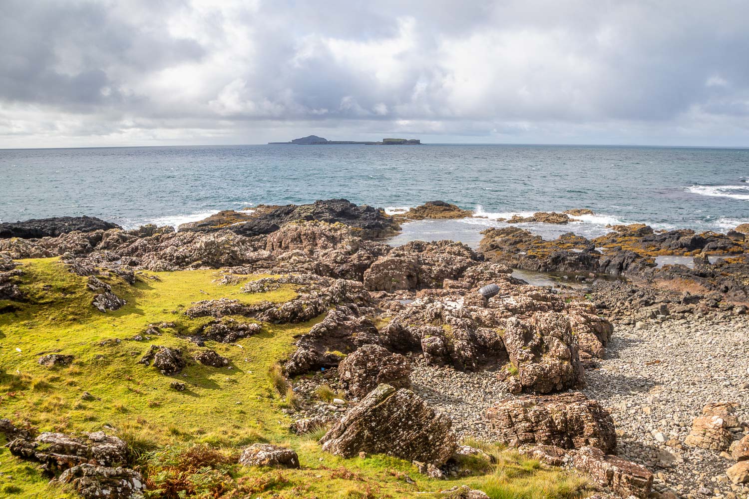
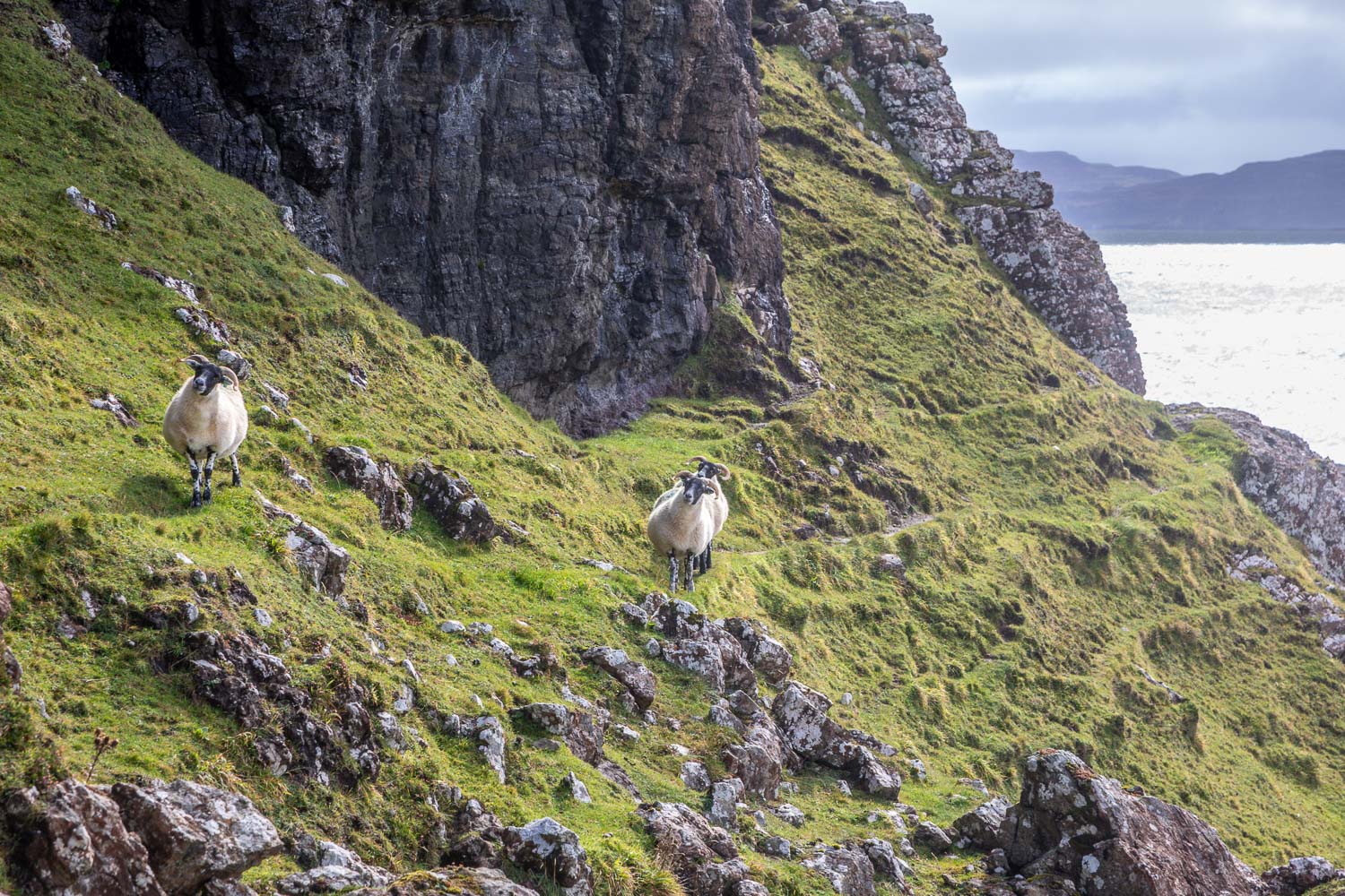
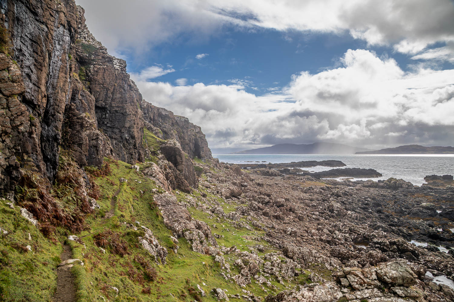
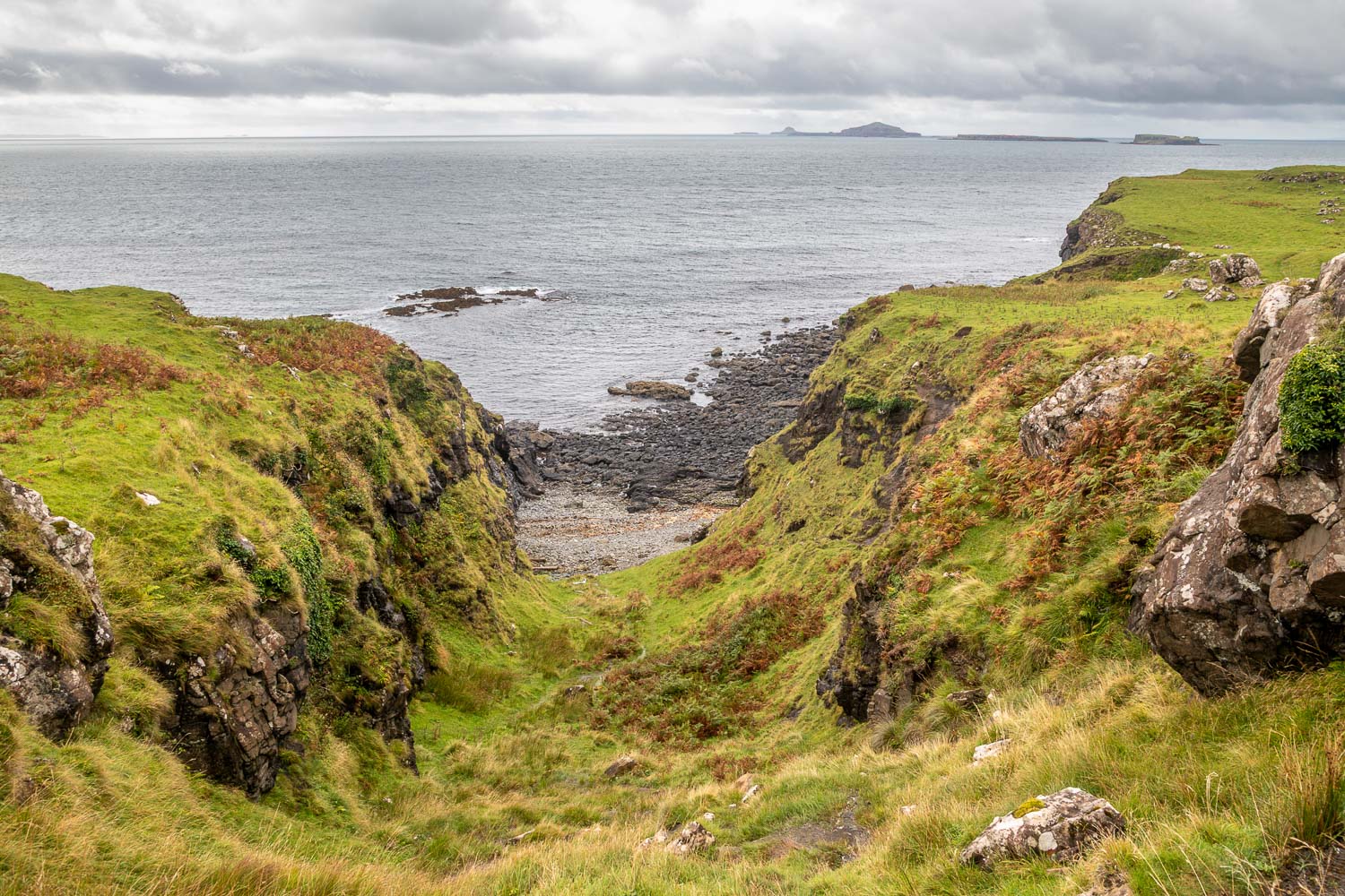
We arrived at the Treshnish coast and were fortunate that the weather improved along this spectacular section of the walk. The Treshnish Isles, a group of 8 uninhabited islands, could be seen in the distance. At Rubh a’Chaoil we descended a natural stone staircase to the shore. There’s a choice of paths here – an easier one higher up the cliffs, or a harder one below them which follows old sheep tracks. We opted for the latter so as to keep closer to the Treshnish coast. The path was very narrow and a little awkward at times, with drops off to the right though never so steep as to induce feelings of vertigo

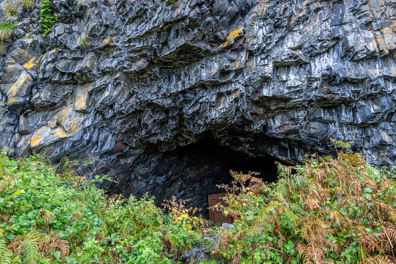
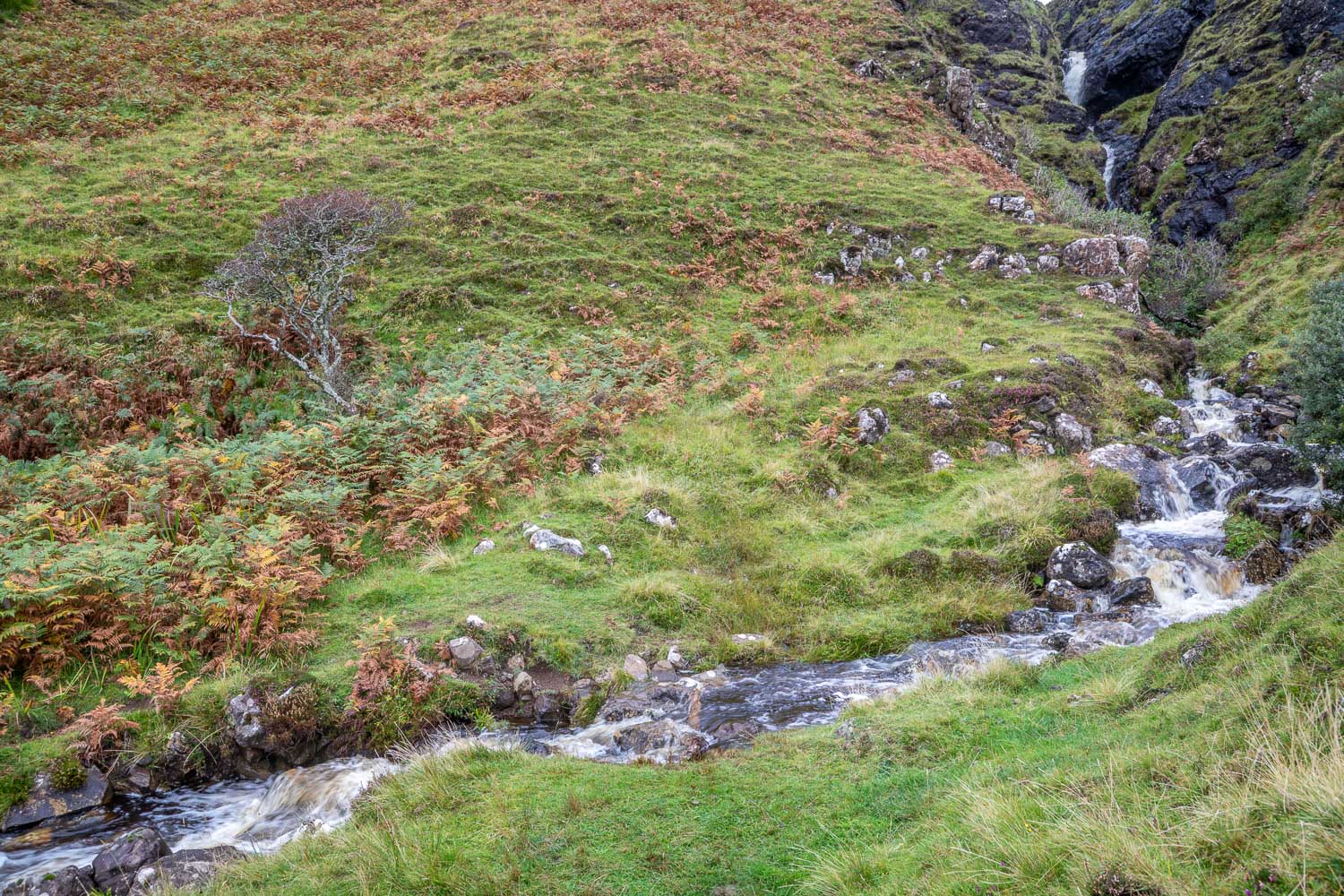
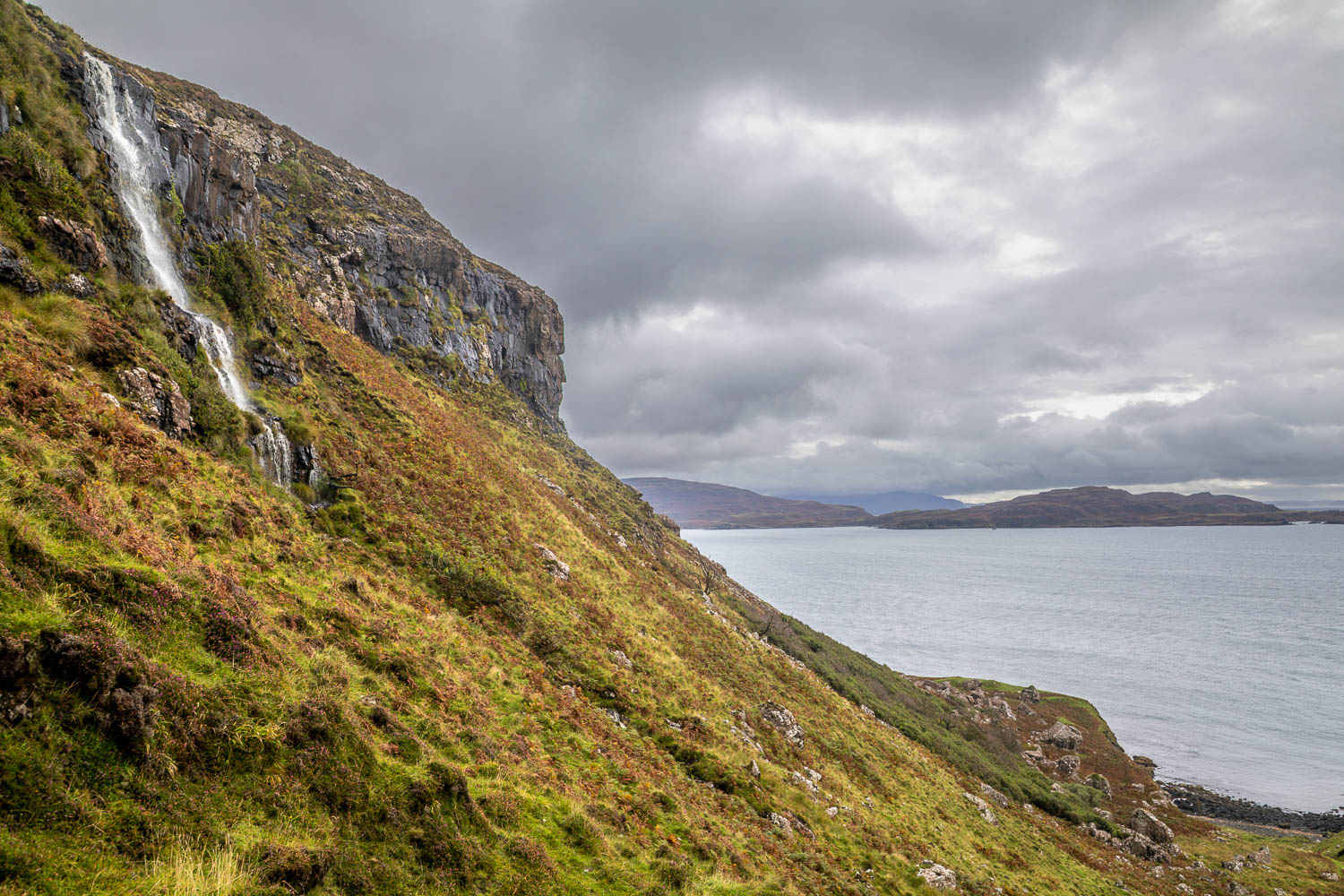
We paused for our picnic above a rocky bay, spending some time in search of otters which frequent the coast, but were out of luck. A little further on we passed above the Whisky Cave, where the best ‘moonshine’ on Mull was once distilled. The cave can be visited by climbing down a gully and back up again, but we decided to carry on. After fording a burn below a waterfall (not a straighforward affair after yesterday’s non-stop rain) we arrived below another waterfall and this signalled the end of the Treshnish coast section of the walk. We turned left to climb quite steeply uphill, following a path which zigzagged up to the moors

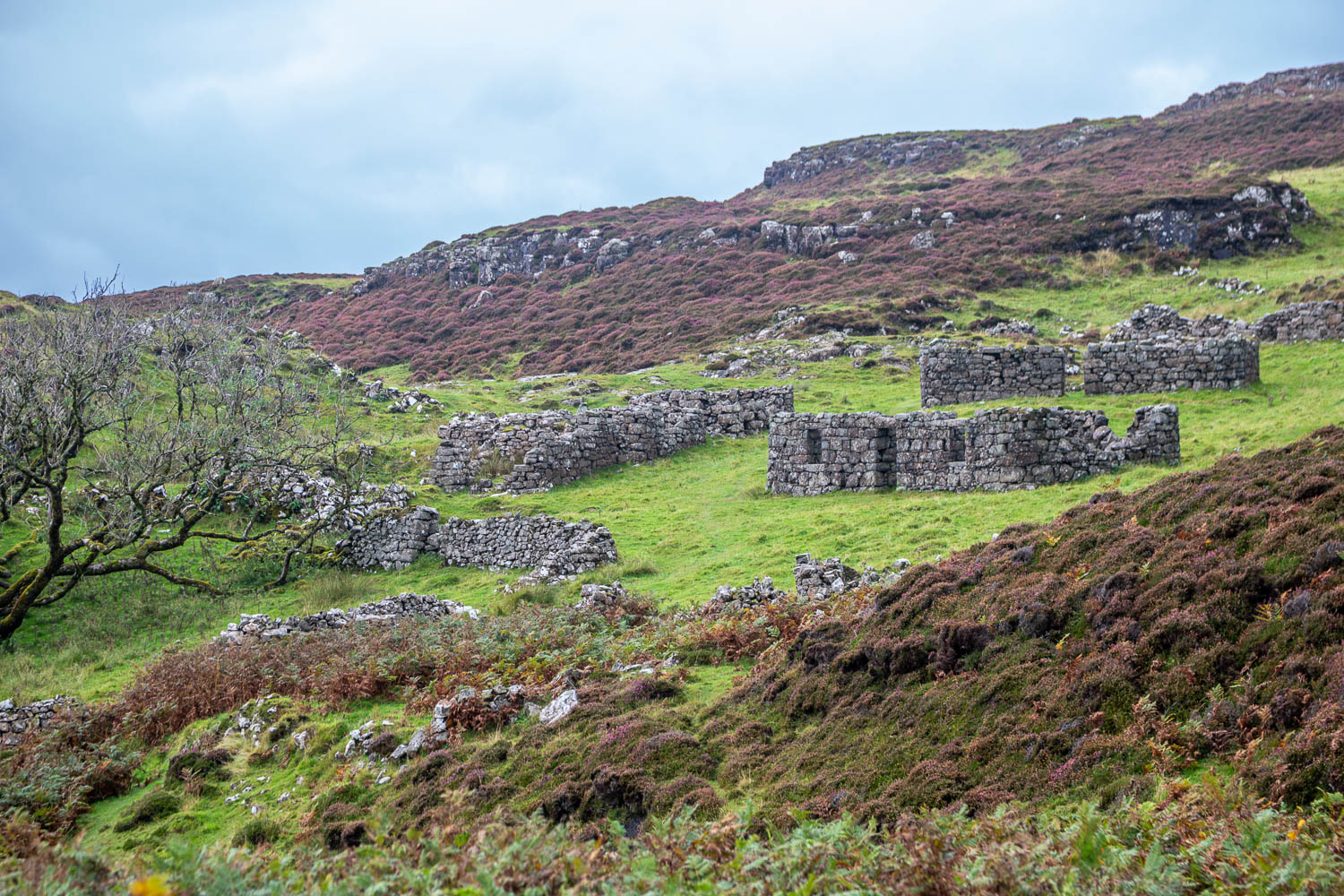
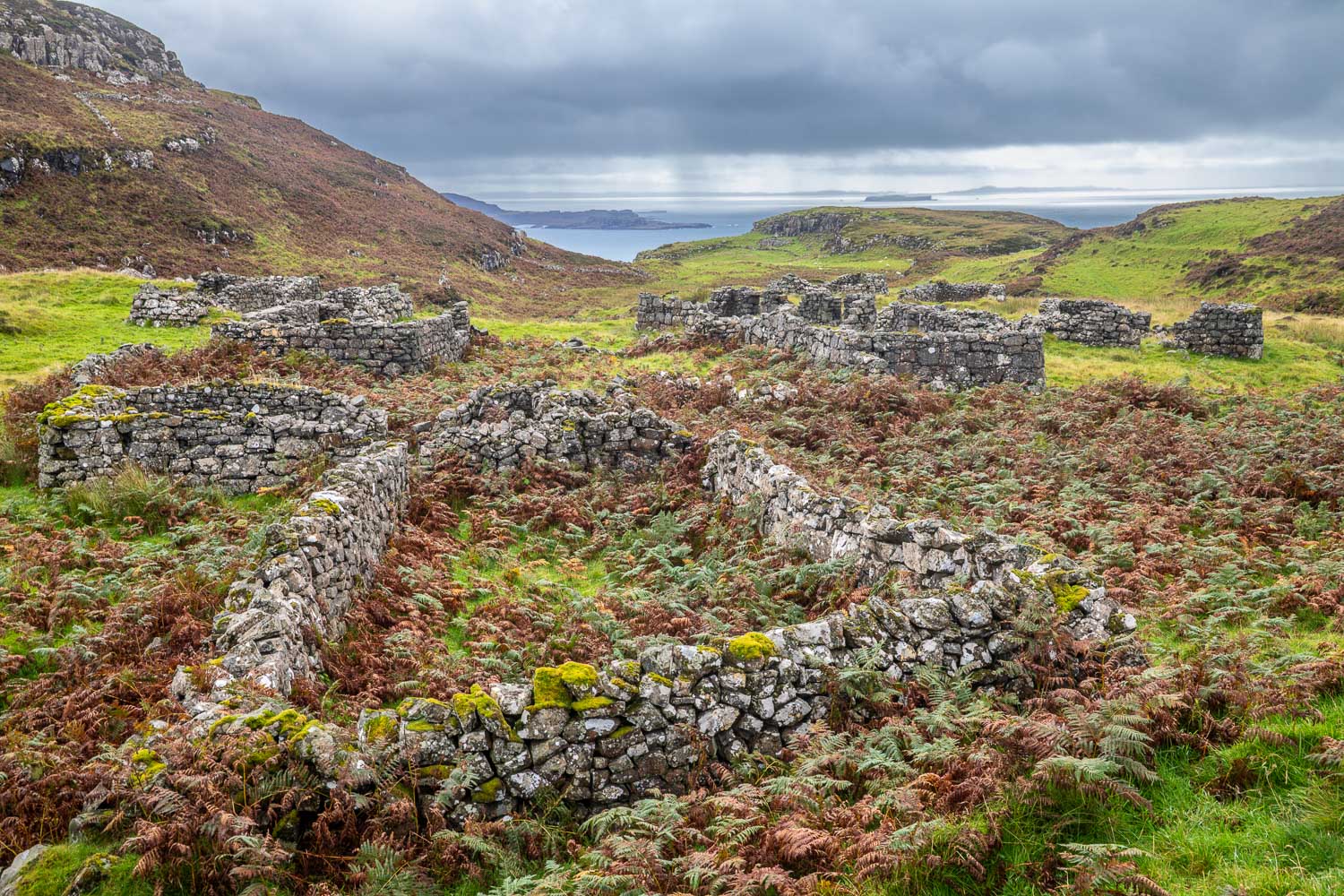
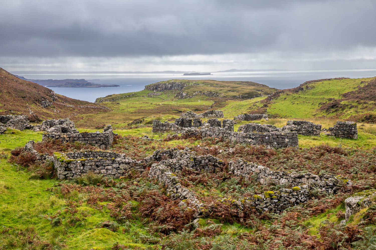
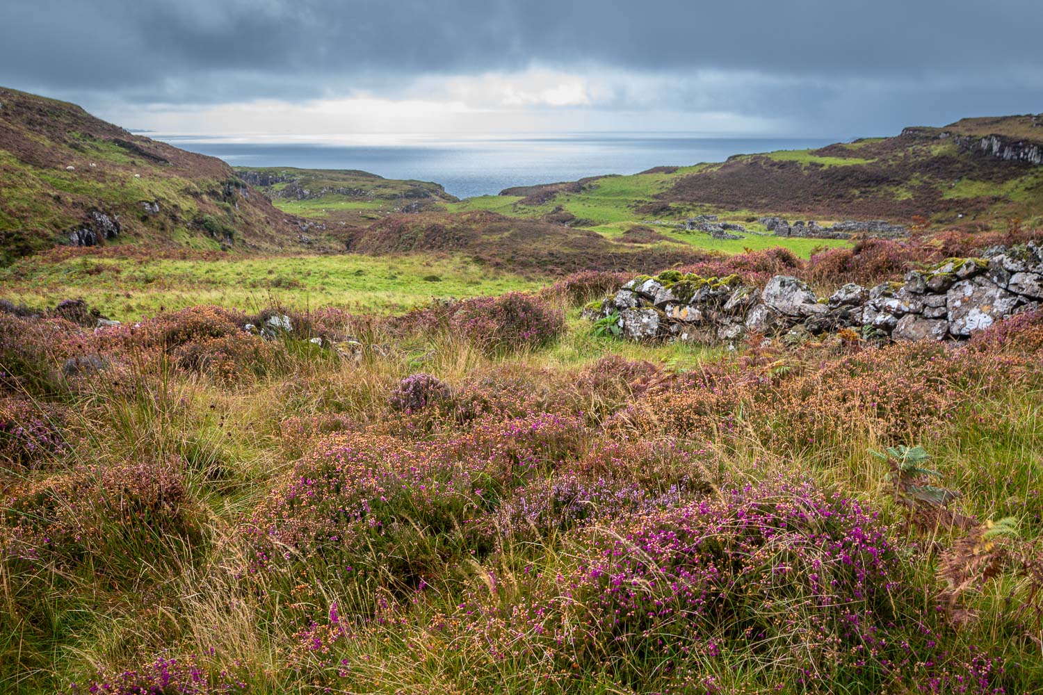
We passed by the ruins of the village of Crackaig on our left, which was abandoned after a devastating typhoid outbreak, and then through another ruined settlement, Glac Gugairidh. It was hard to imagine how life must have been for the inhabitants of these remote places. From here we walked over bleak moorland before arriving at the improbably situated Tin Shed Gallery. This brought us back to the road. At this point the heavens opened and the remaining mile or so was a miserable trudge back to the car. This put a dampener on the walk, which had otherwise been a joy. During the course of 7 miles we hadn’t seen another soul

Click on the icon below for the route map (subscribers to OS Maps can view detailed maps of the route, visualise it in aerial 3D, and download the GPX file. Non-subscribers will see a base map)

Scroll down – or click on any photo to view as a slideshow

Follow the link for more walks in Scotland (50)

Posted by Andrewswalks in Mull, Scotland
Iona

Iona

Route: Iona and Iona Abbey

Area: Inner Hebrides, Scotland

Date of walk: 13th September 2026

Walkers: Andrew and Gilly

Distance: 3.7 miles

Ascent: 100 feet

Weather: Sunny and warm

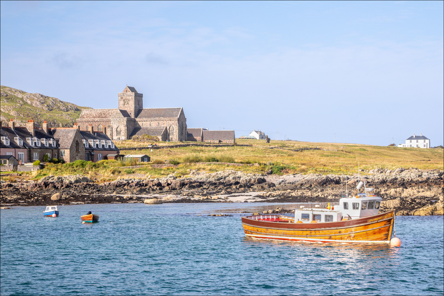
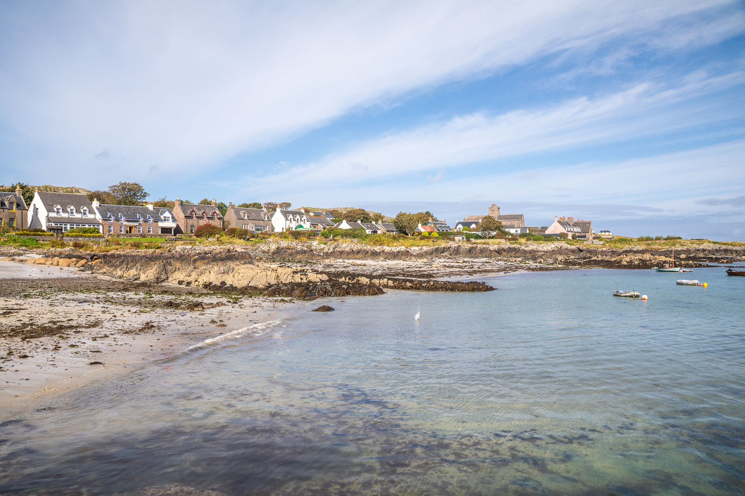
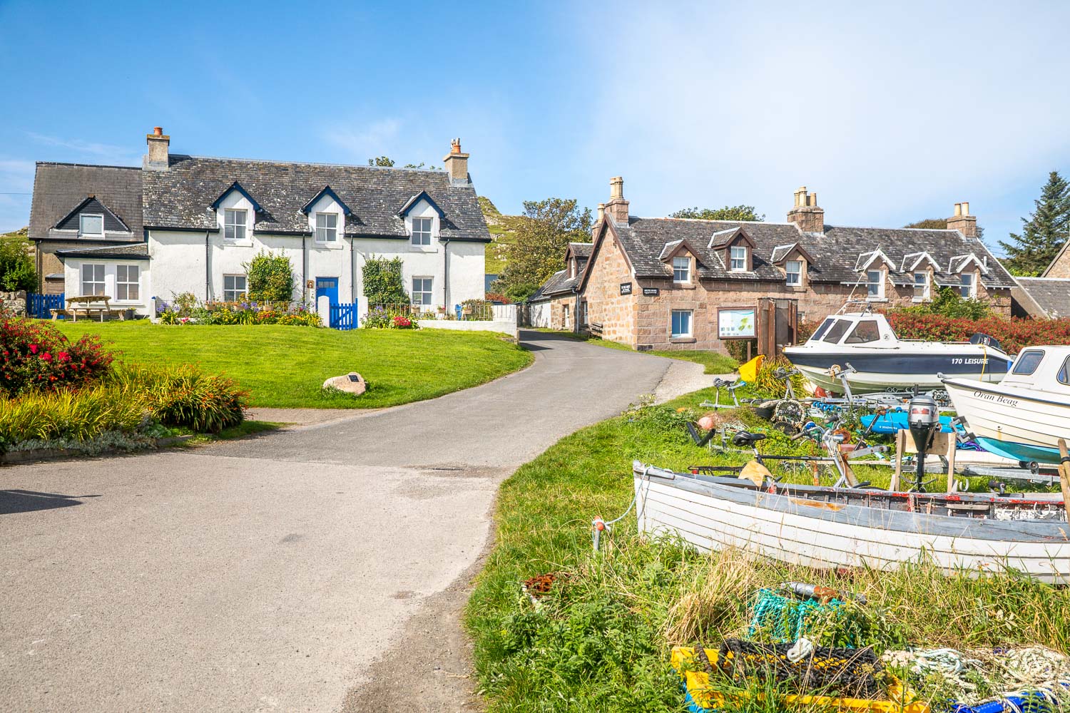
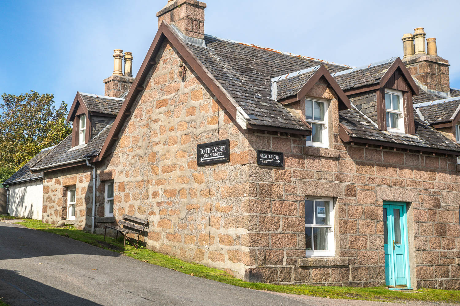
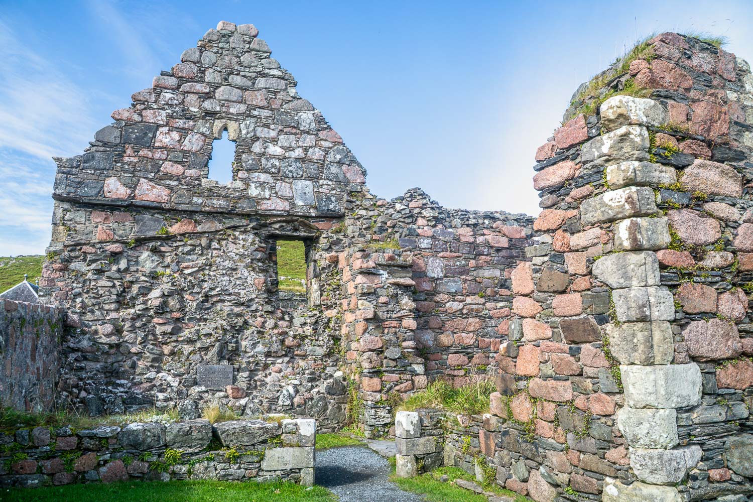
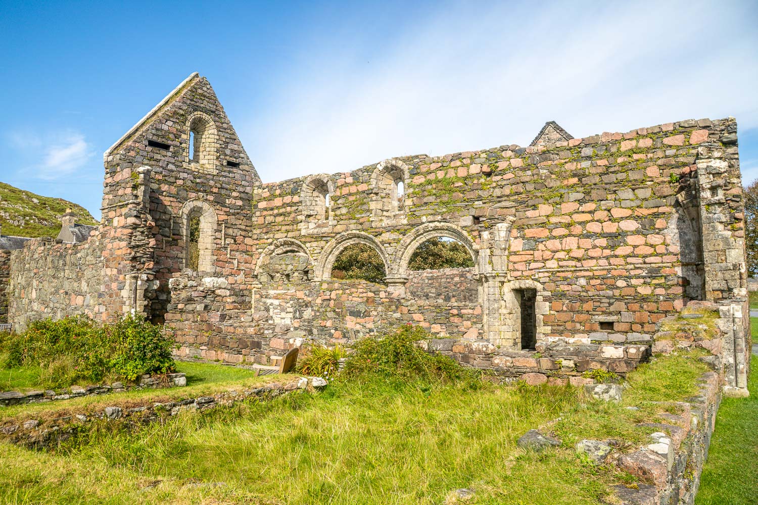
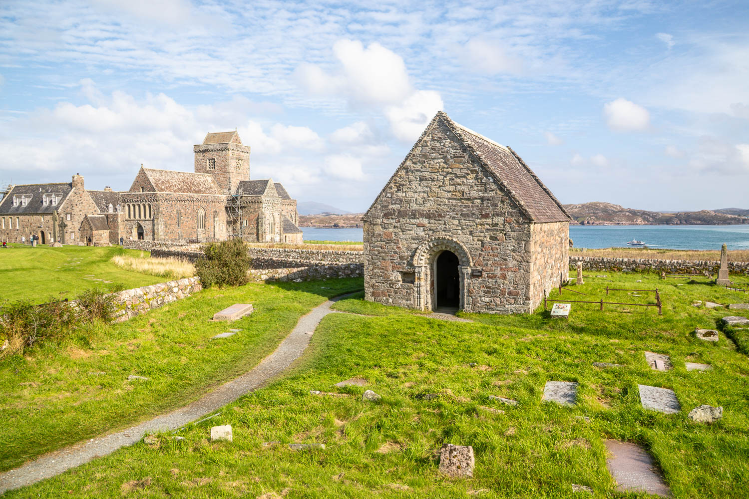
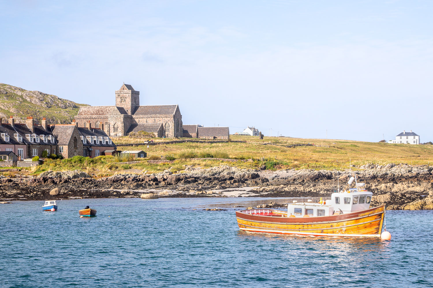
Earlier in the day, we’d enjoyed an incredible visit to the Isle of Staffa organised by Staffa Trips. Instead of returning to Fionnphort, we disembarked at Baile Mor on Iona for another walk. Thanks to Staffa Trips for a superb service. From the jetty we walked up the village street and through the grounds of the well preserved medieval Nunnery, founded in 1200
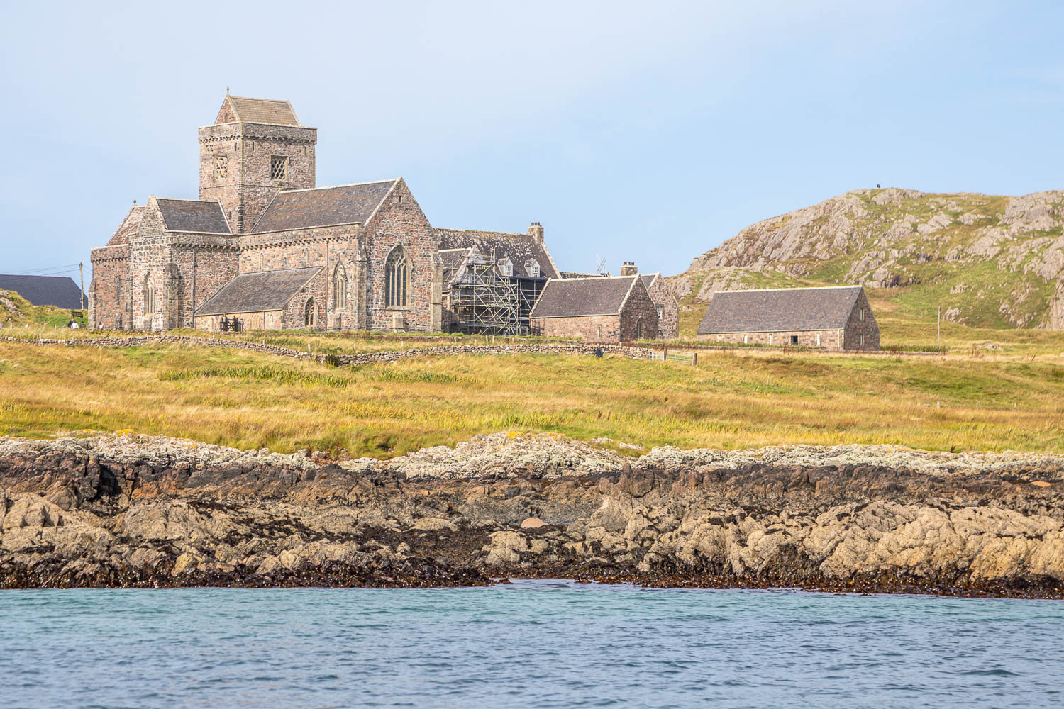
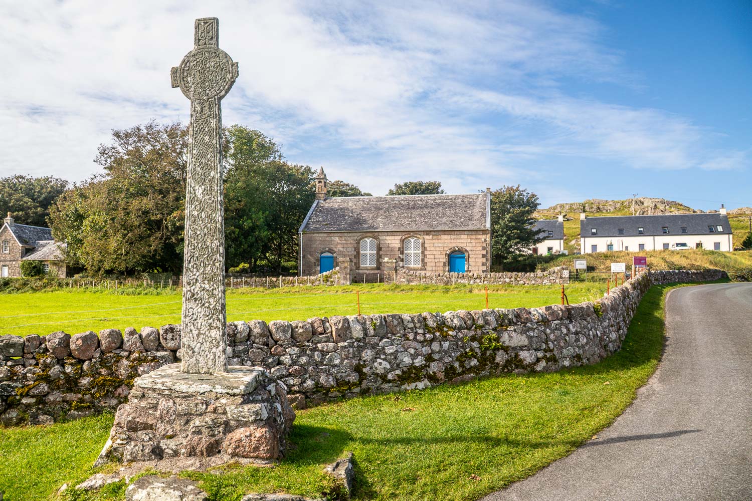
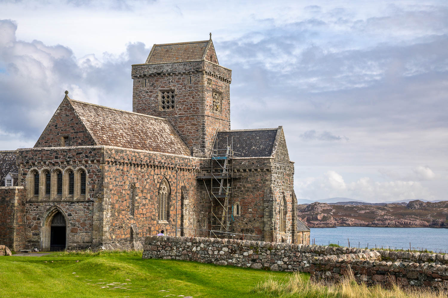
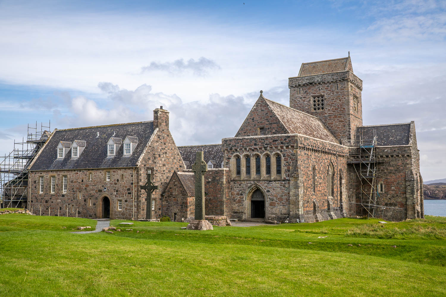
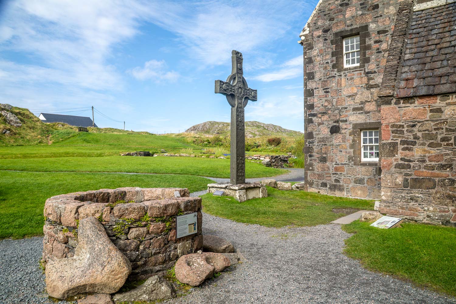
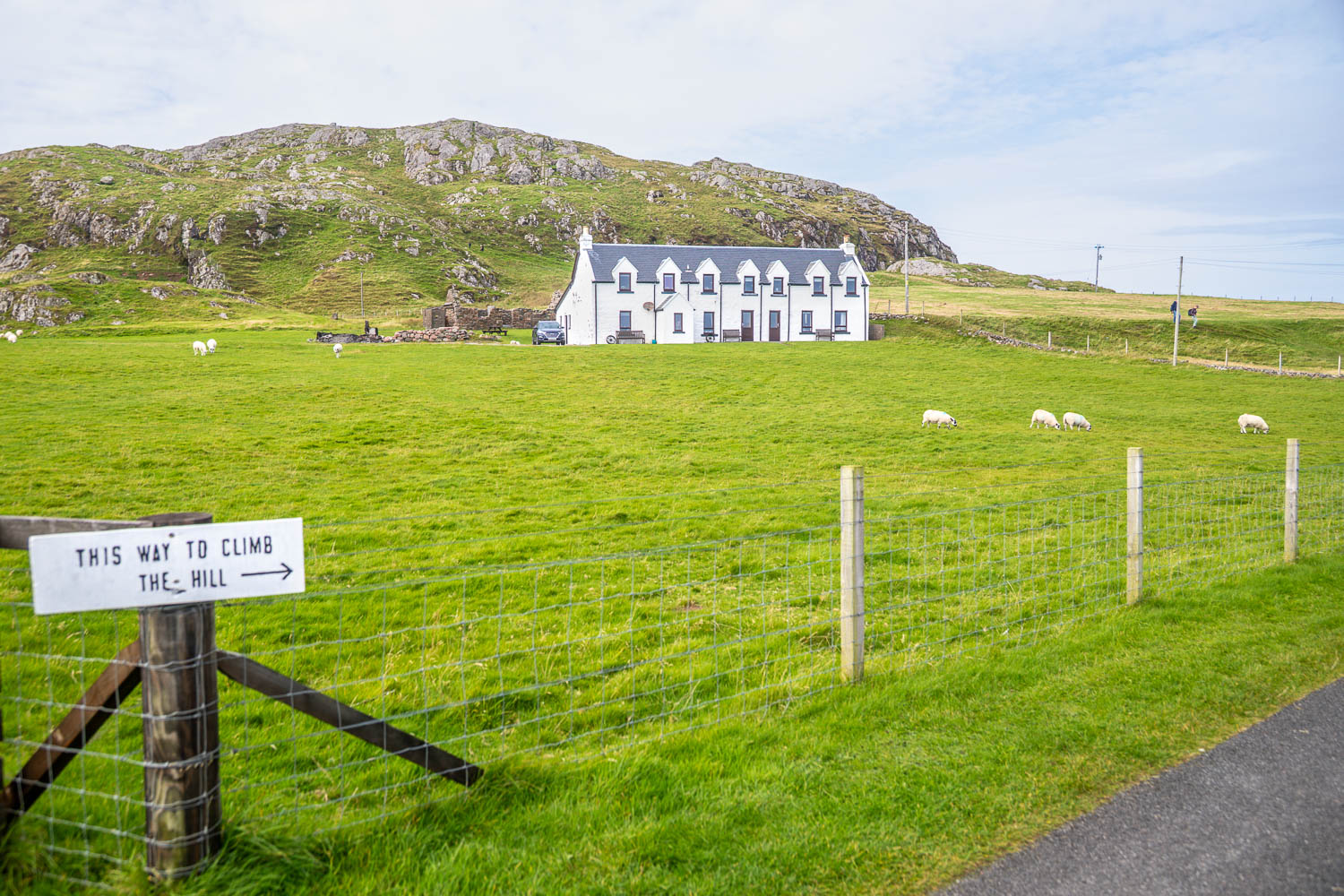
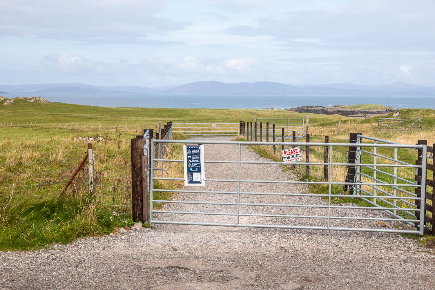
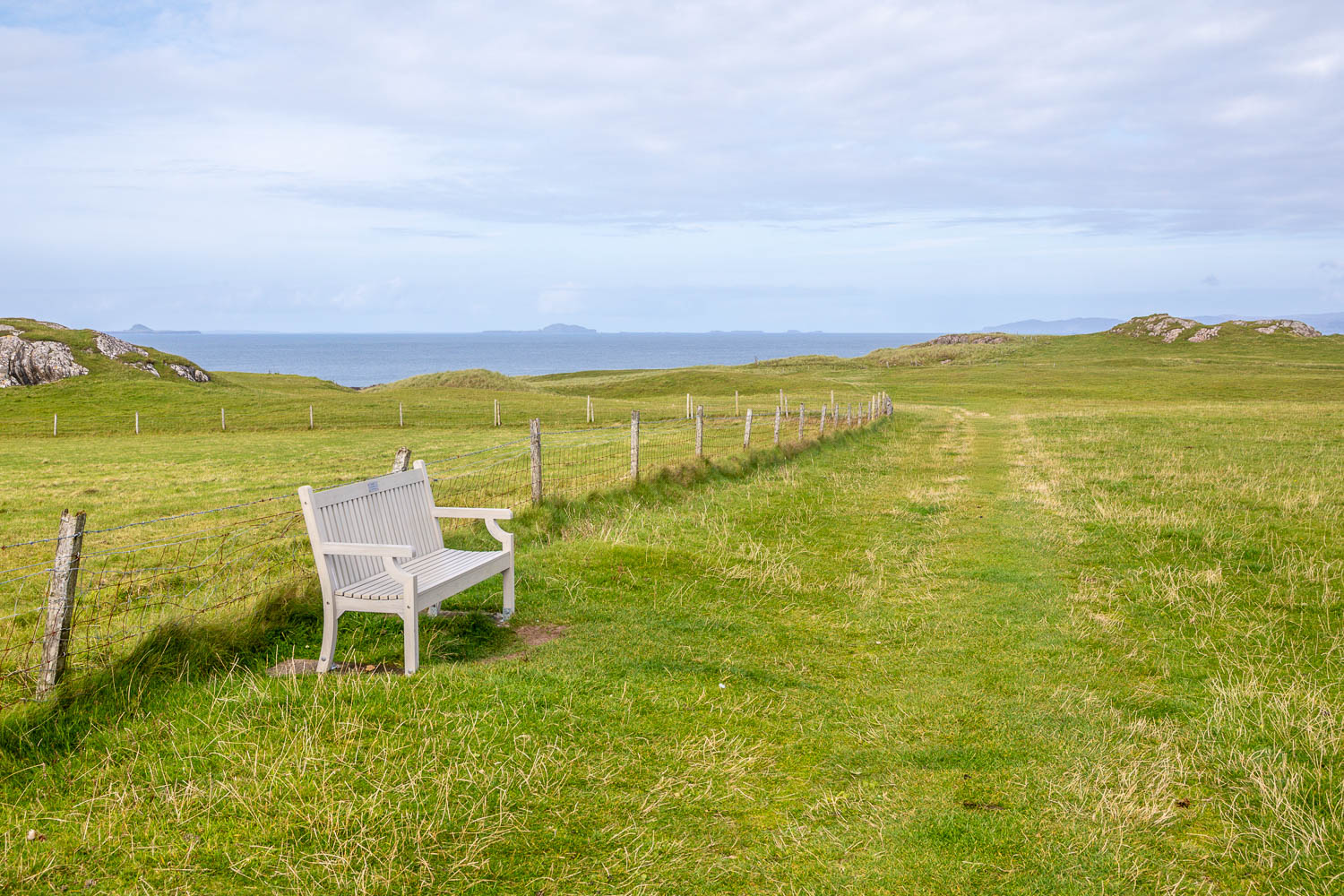
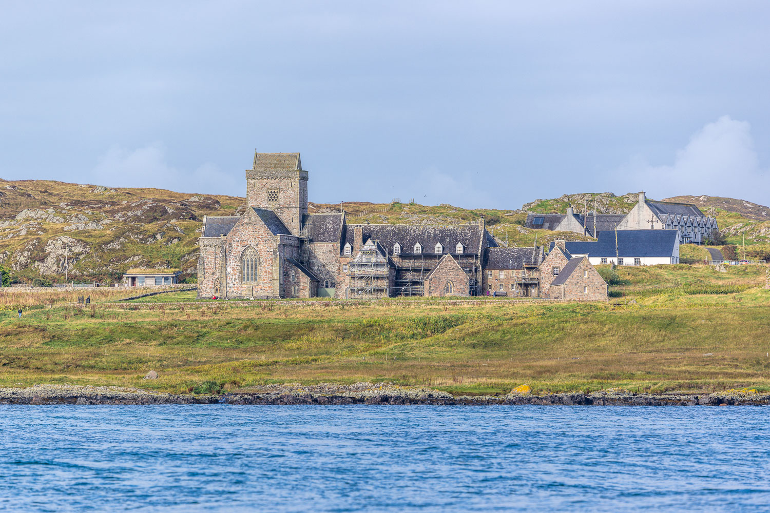
We continued along the village road and after about 10 minutes arrived at Iona Abbey, managed by Historic Scotland (entrance charges apply). This is one of Scotland’s most sacred sites and has been a centre of Christian worship ever since St Columba arrived in AD 563. There’s so much historical interest here that it would take hours to make a full exploration. We didn’t have time for that and resumed our walk, continuing along the quiet road for a while until we reached Ardionra Croft, where we followed a path across the machair

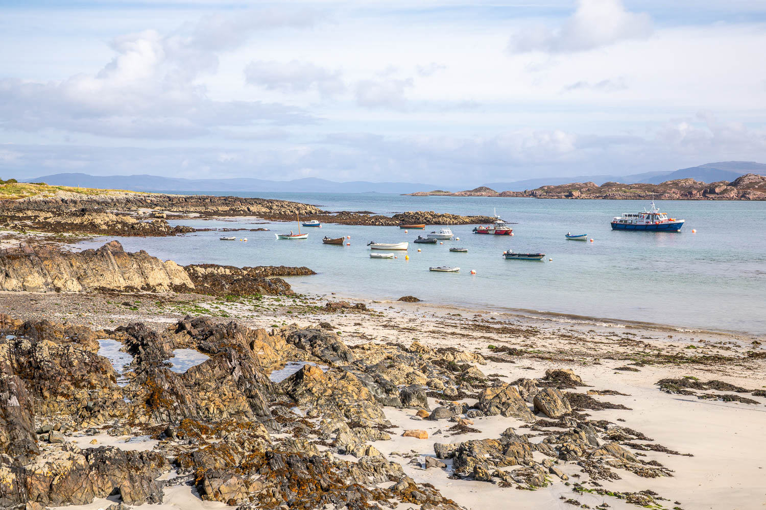
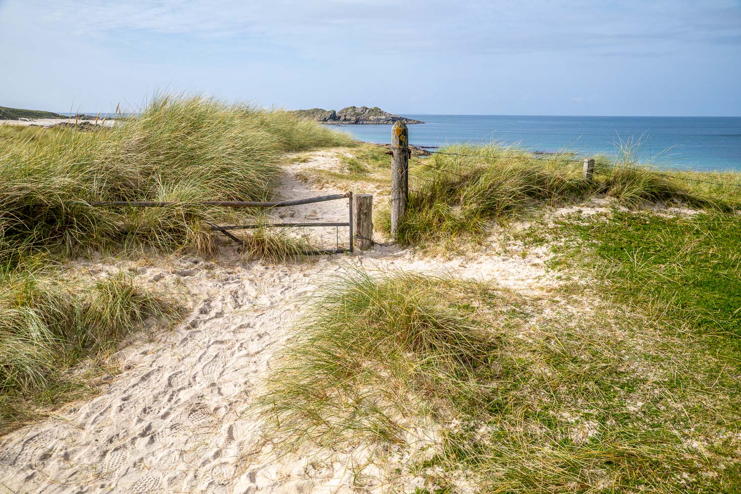
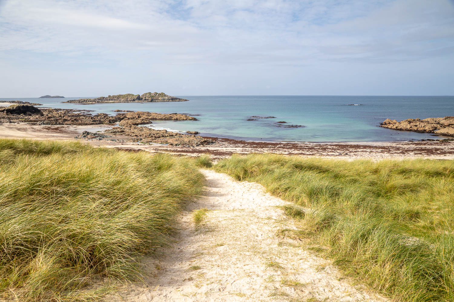
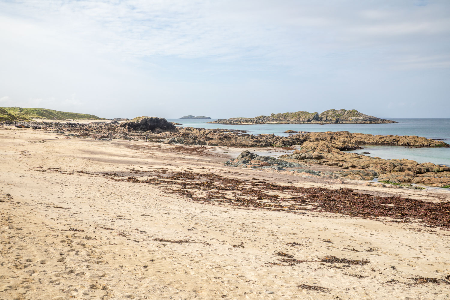
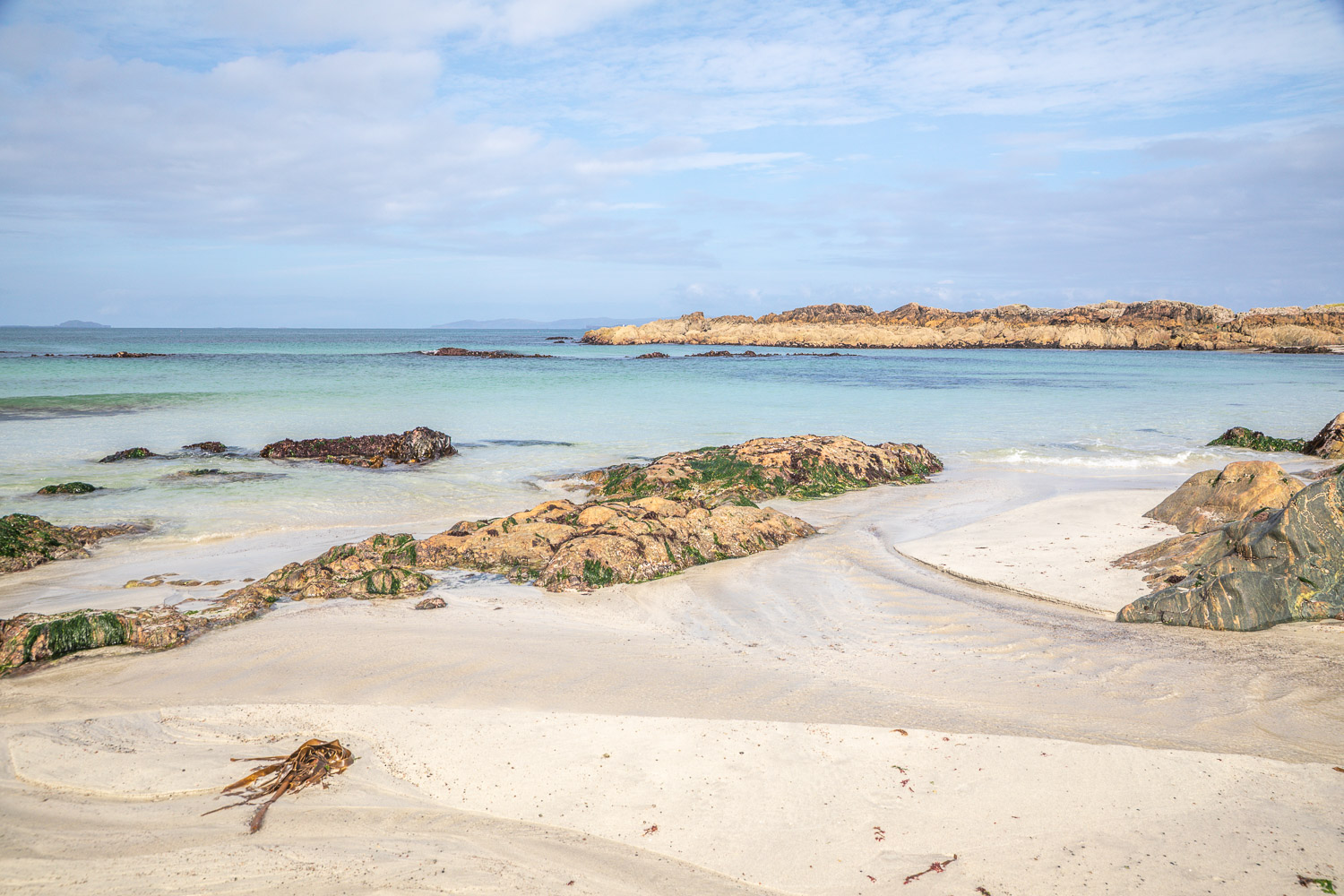
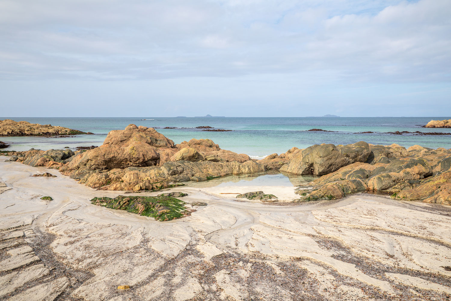
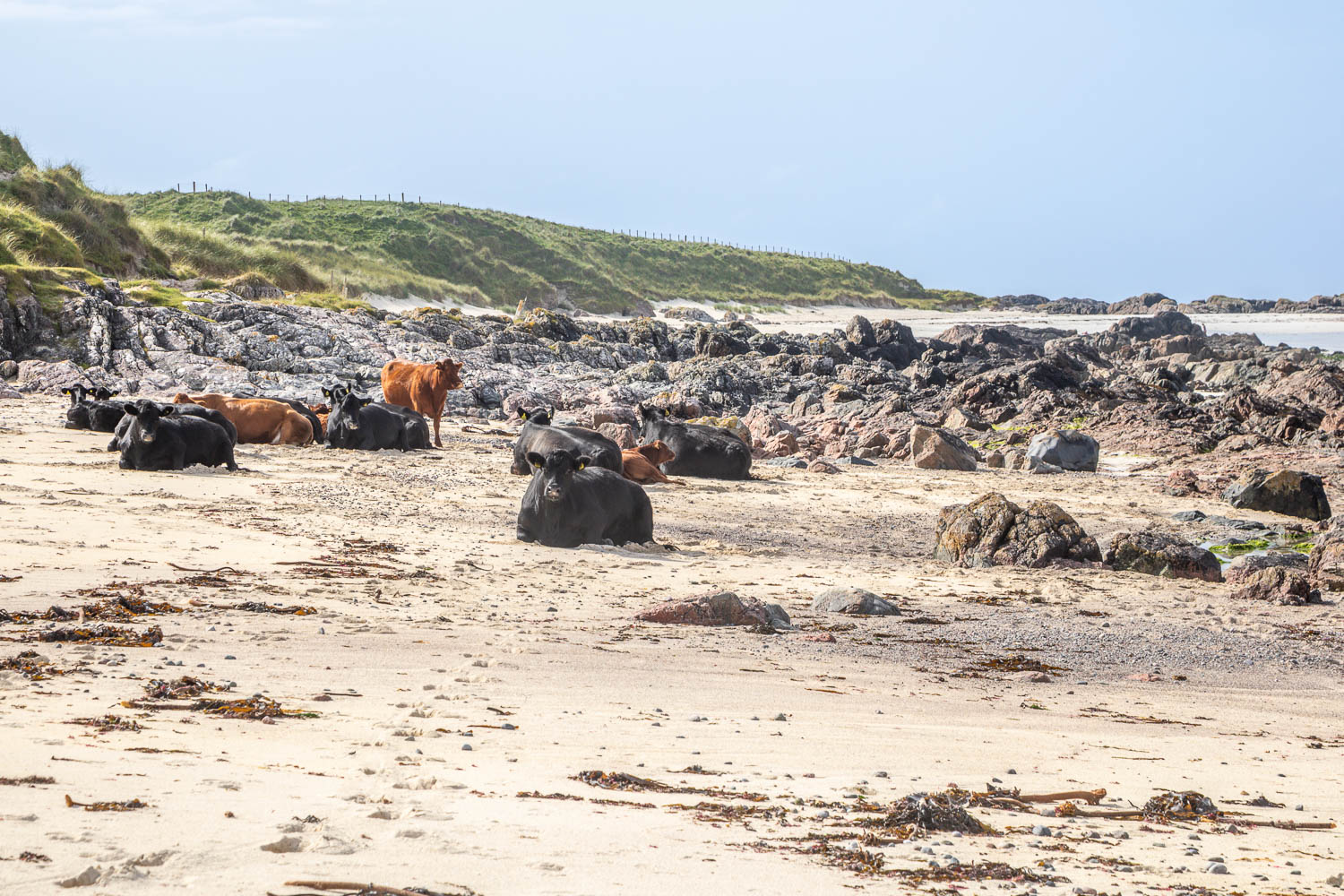
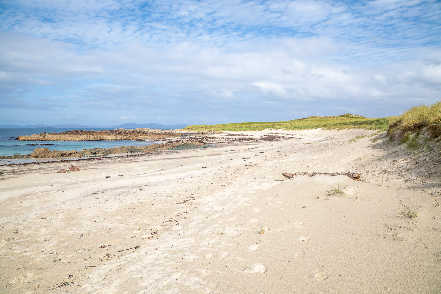
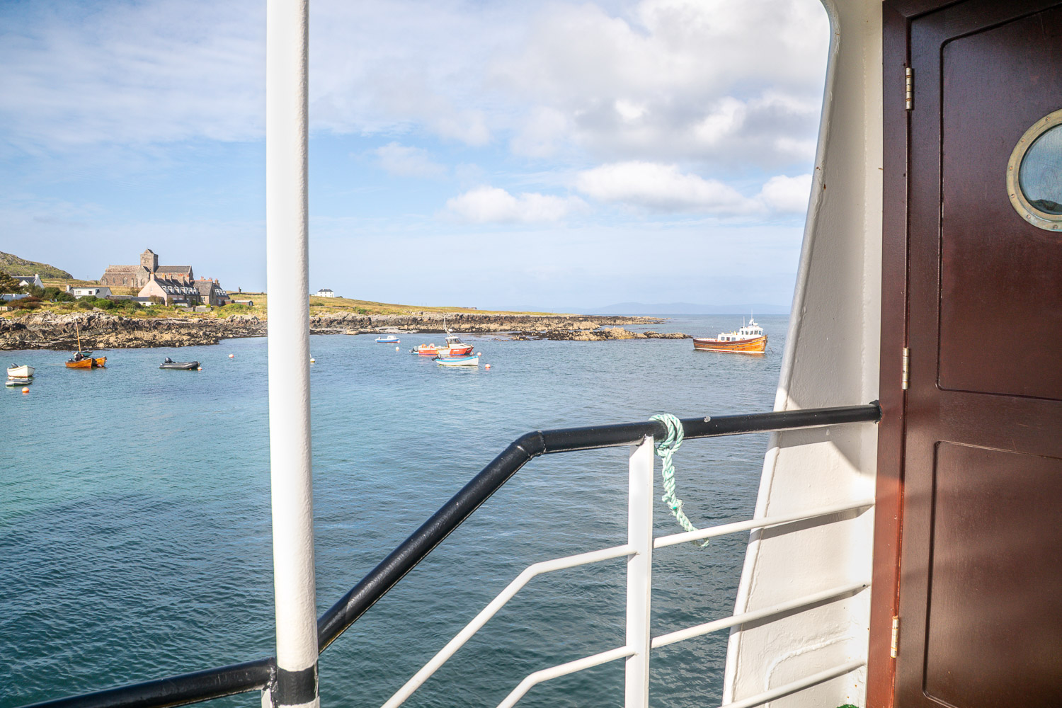
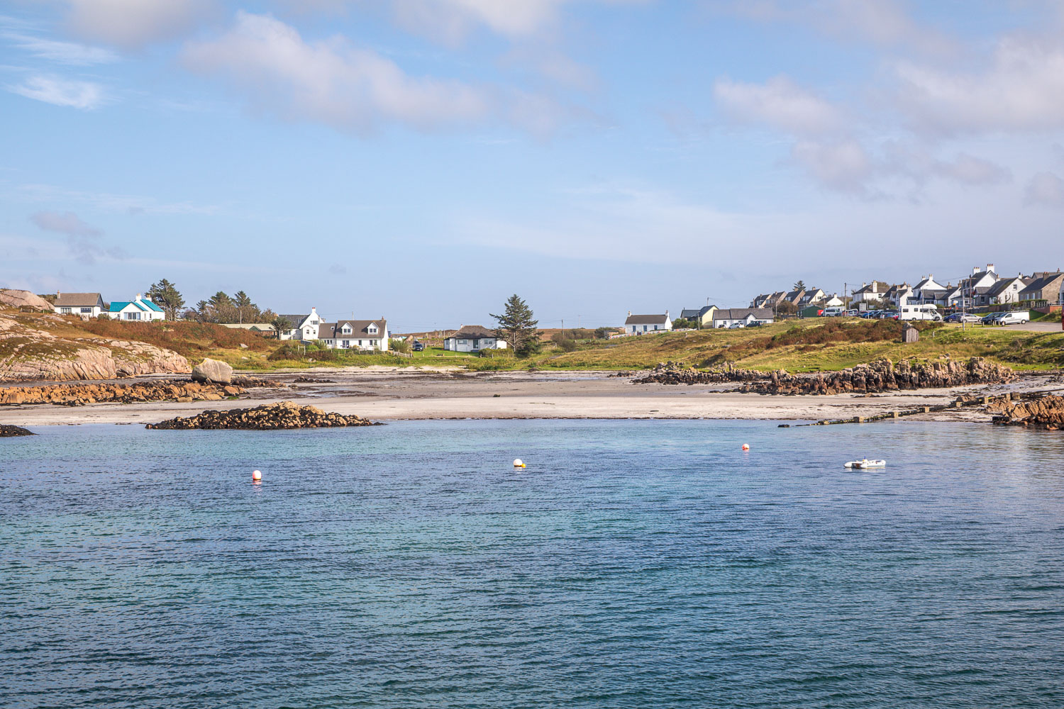
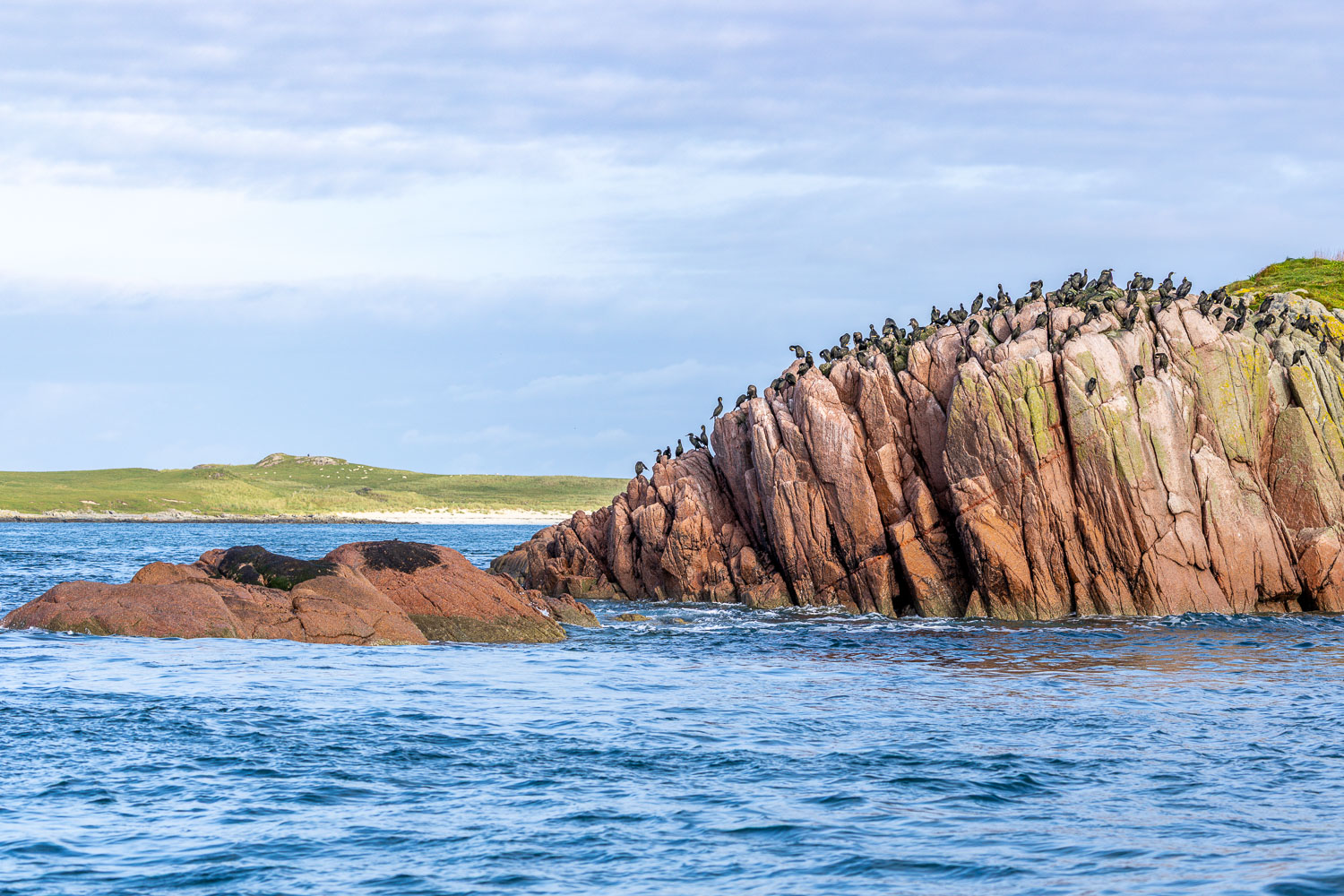
Near the north end of Iona we turned left and arrived above a perfect white sand beach. There are three of these in all, divided by huge granite rocks, but access to the furthest two was barred by a herd of cattle with calves. Well content with what we’d seen, we retraced our steps back to Baile Mor where we caught the Calmac Ferry back to Fionnphort to end a wonderful day, one which will live long in the memory

Click on the icon below for the route map (subscribers to OS Maps can view detailed maps of the route, visualise it in aerial 3D, and download the GPX file. Non-subscribers will see a base map)

Scroll down – or click on any photo to view as a slideshow

Follow the link for more walks in Scotland (50)

Posted by Andrewswalks in Hebrides, Scotland
Isle of Staffa

Isle of Staffa

Route: Isle of Staffa and Fingal’s Cave

Area: Staffa, Scotland

Date of walk: 13th September 2026

Walkers: Andrew and Gilly

Distance: 2.0 miles

Ascent: 100 feet

Weather: Mostly sunny

A visit to the Isle of Staffa has been at the top of our wish list for our stay on Mull. We’d already booked a boat tour to the island with Staffa Trips, who very helpfully emailed us a couple of days ago to ask if we wanted to change the date of the tour, as weather conditions would be much more favourable on the Sunday. We were very grateful for this, as the weather was superb

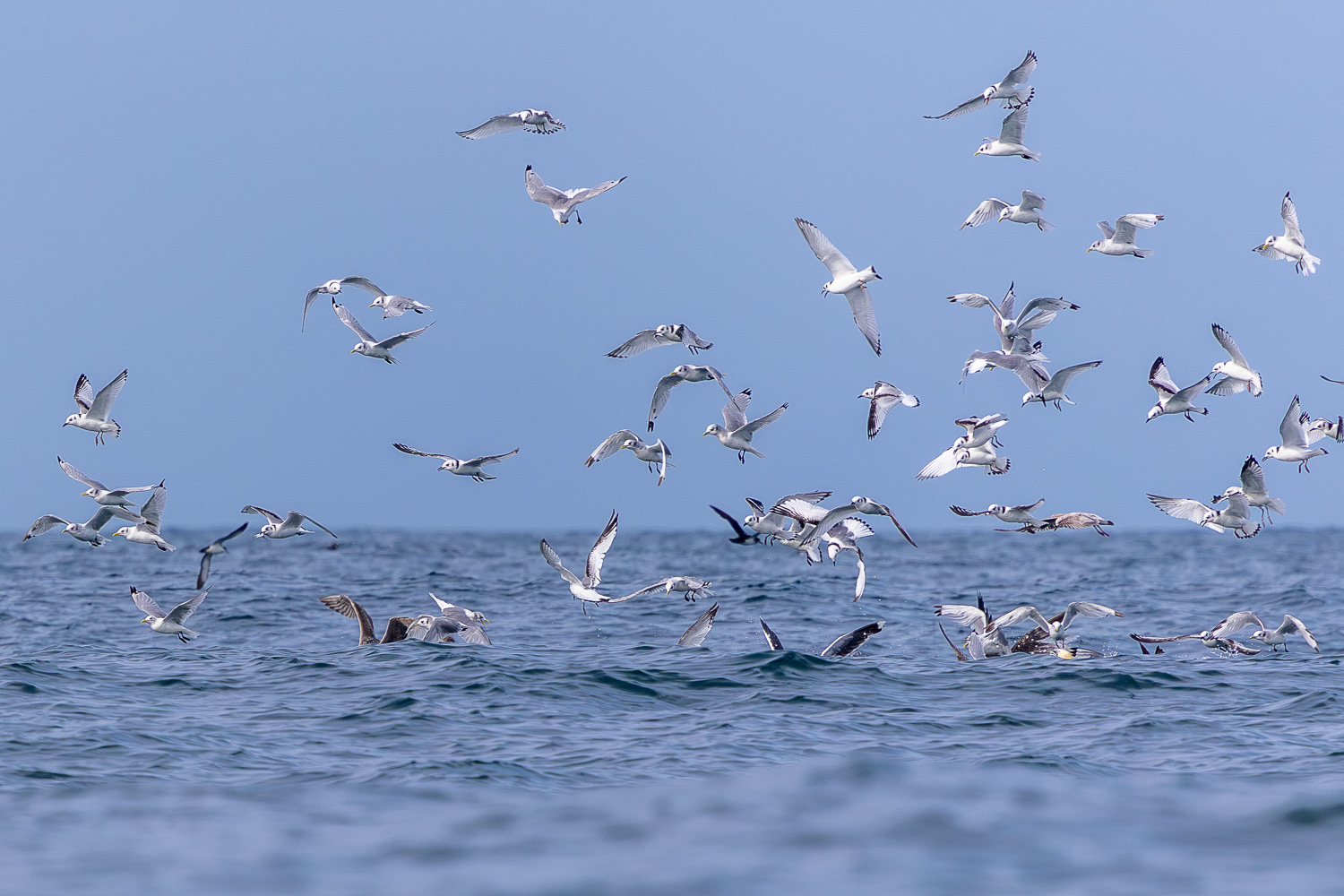
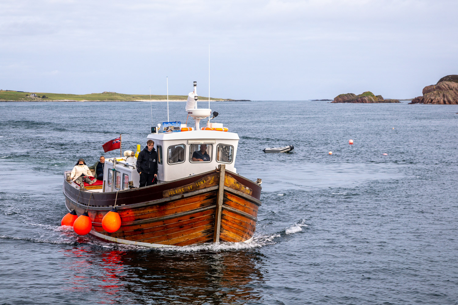
From our base on North Mull we drove to Fionnphort, a journey of 60 miles which takes 2 hours thanks to the tortuous route and single track roads. We parked in the free car park at the edge of the port and set off for Staffa aboard the Iolaire of Iona. The journey took about 1 hour and we kept a look out for whales and dolphins along the way. We saw none of these, but had plenty of good seabird sightings

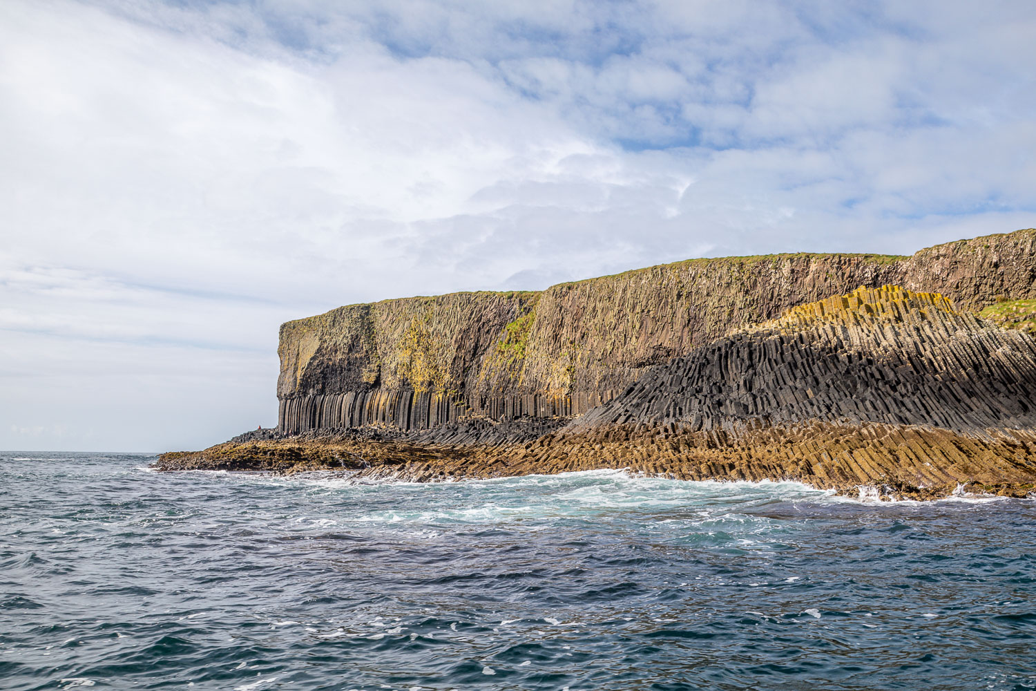
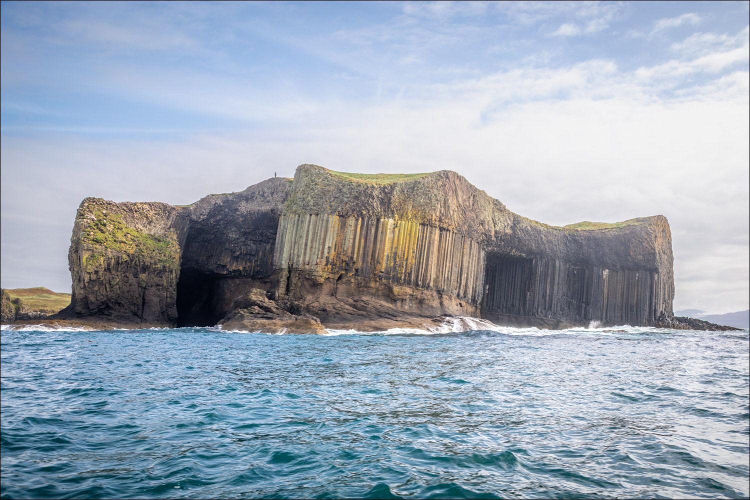
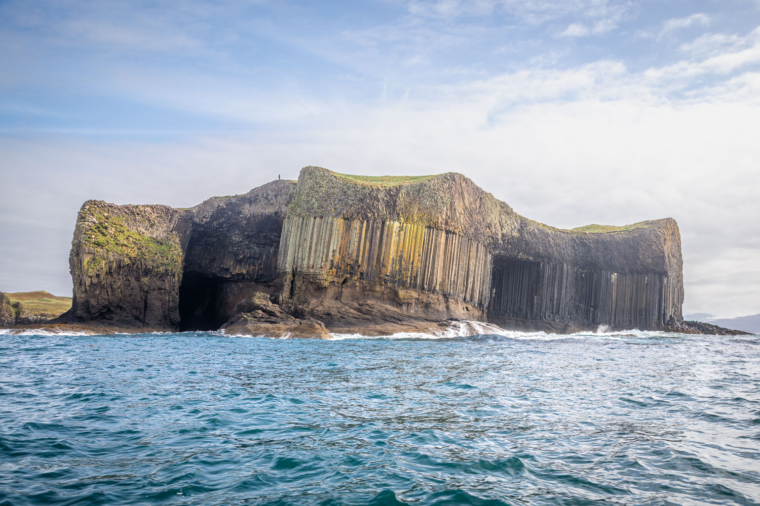
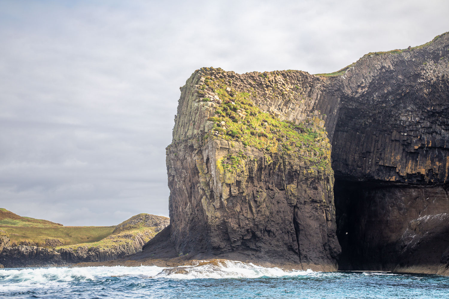
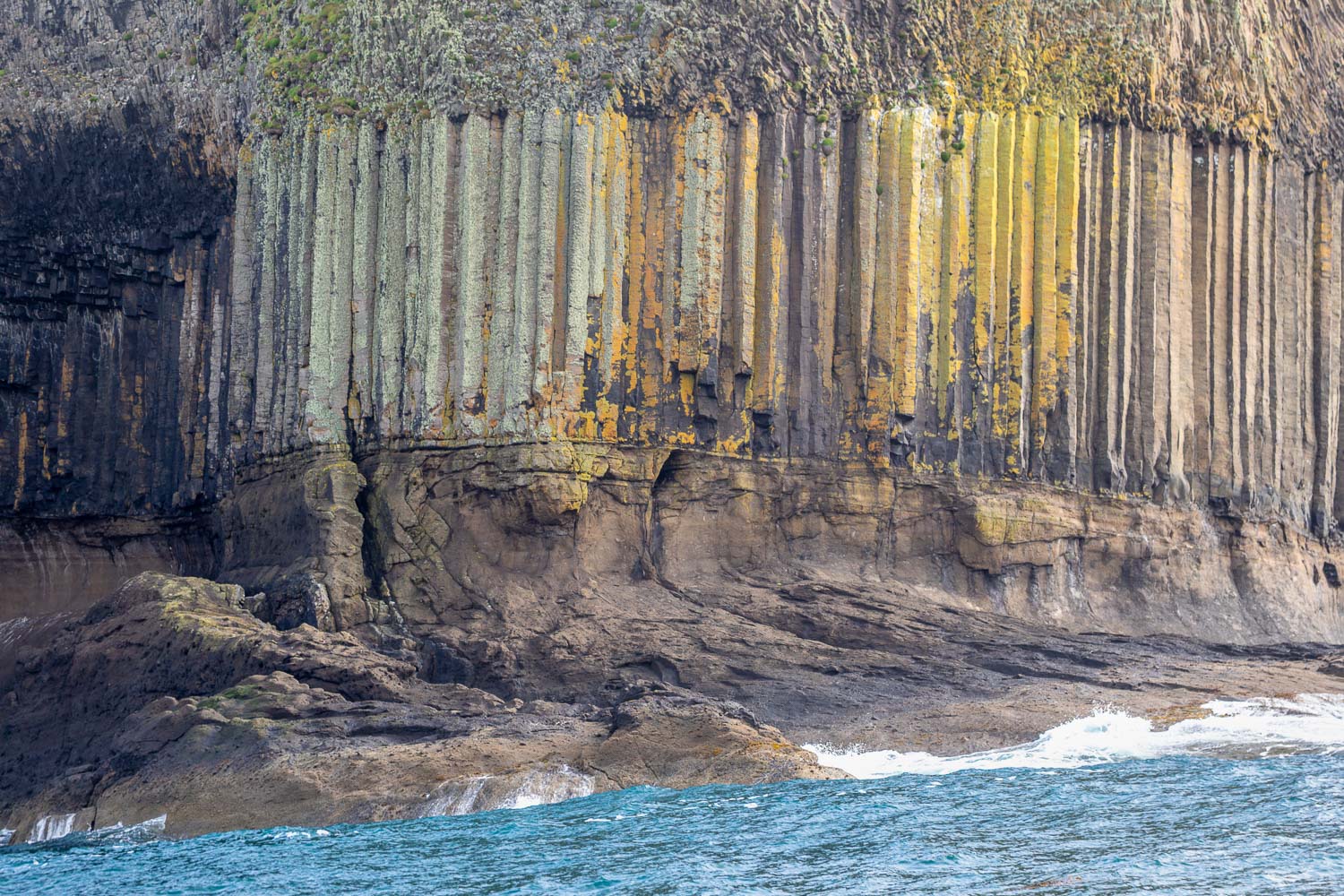
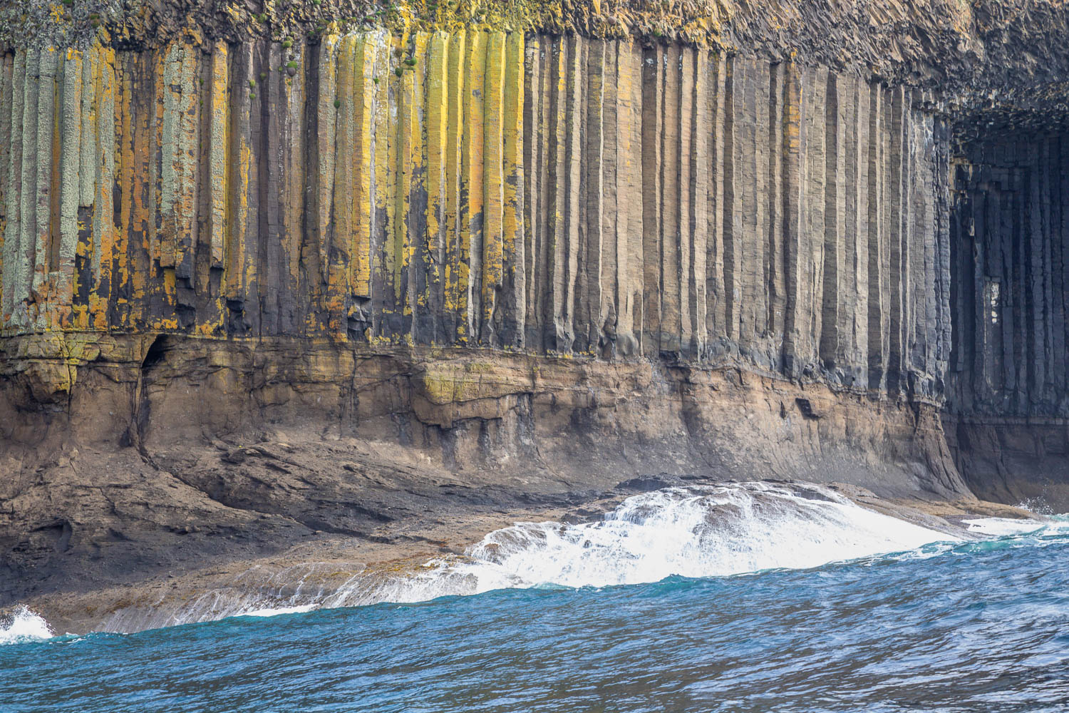
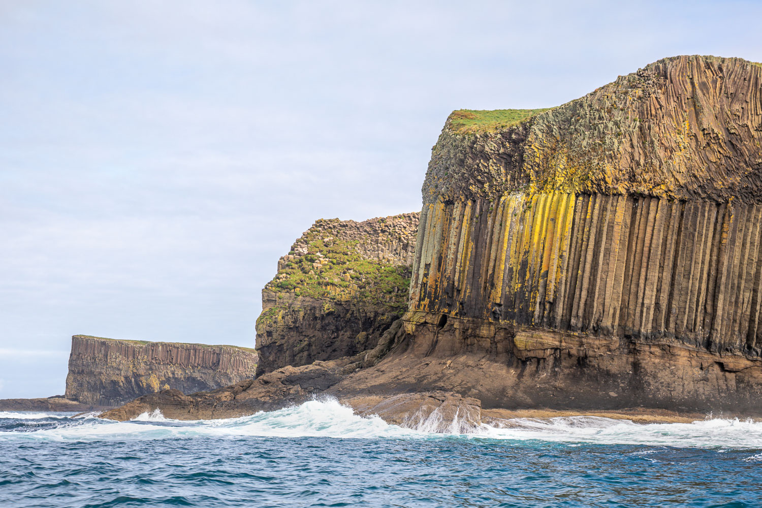
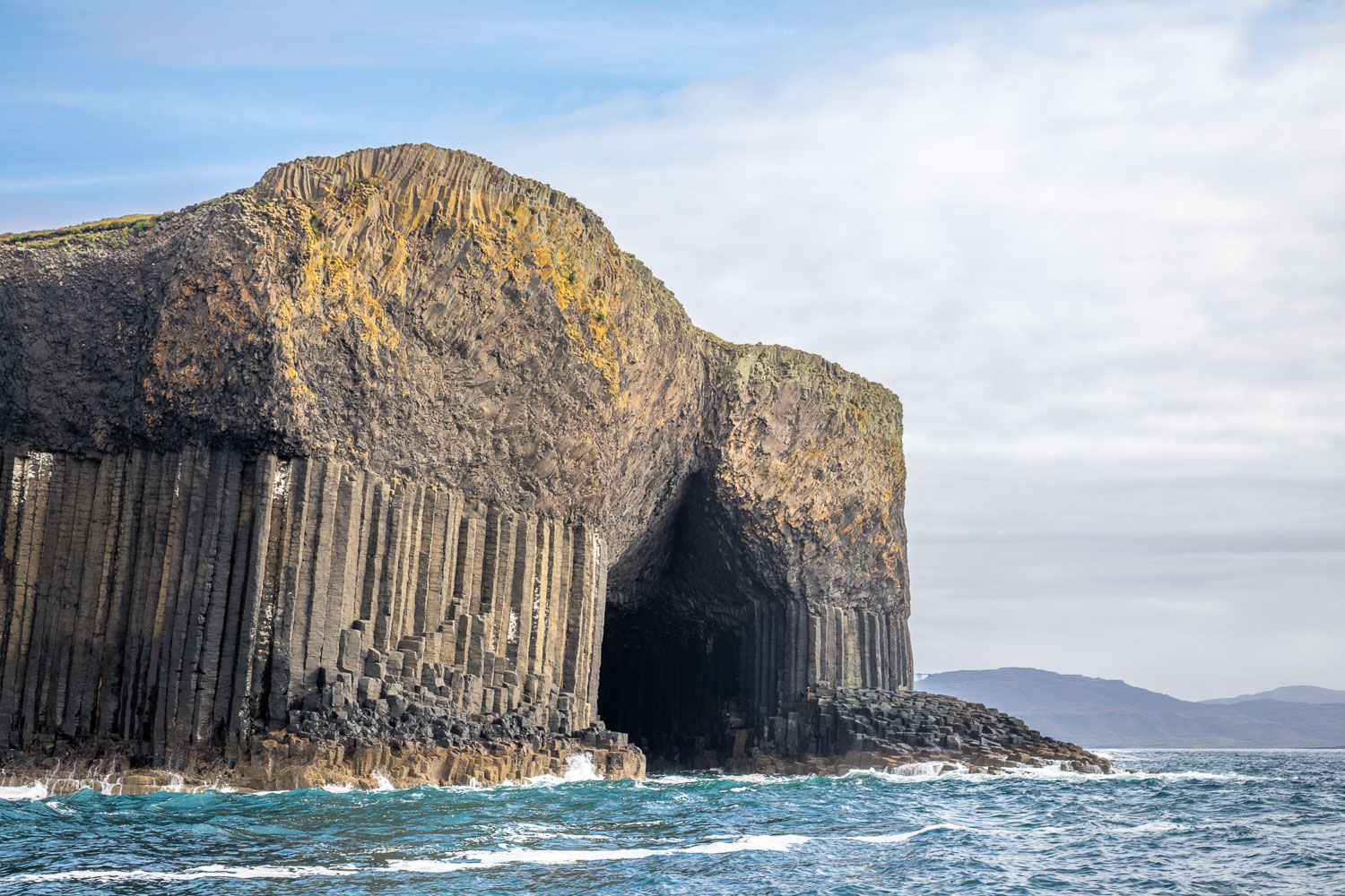
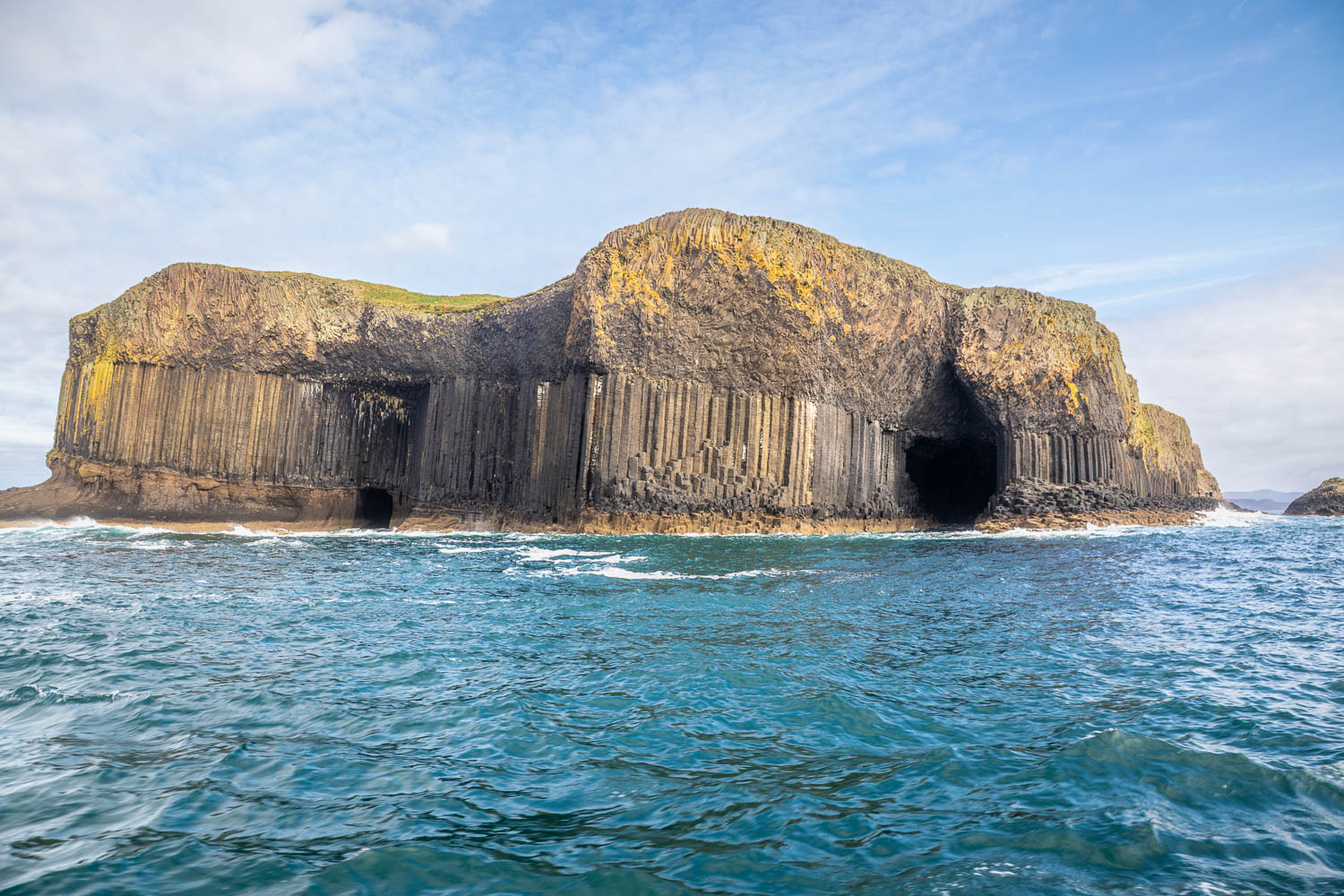
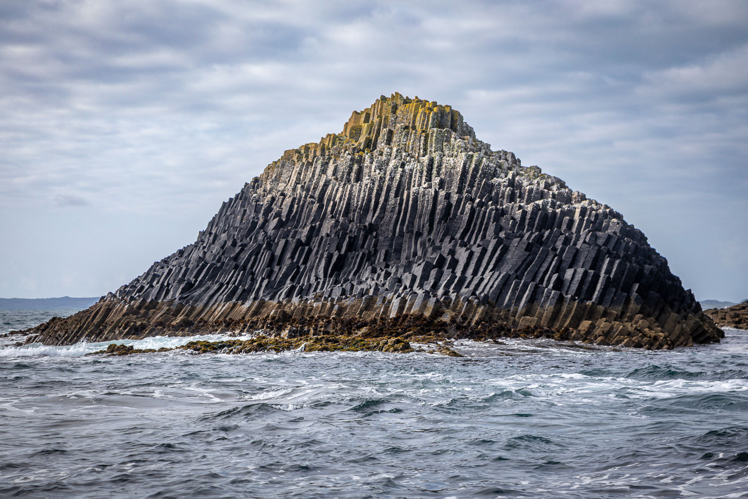
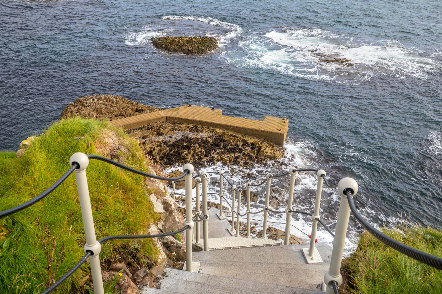
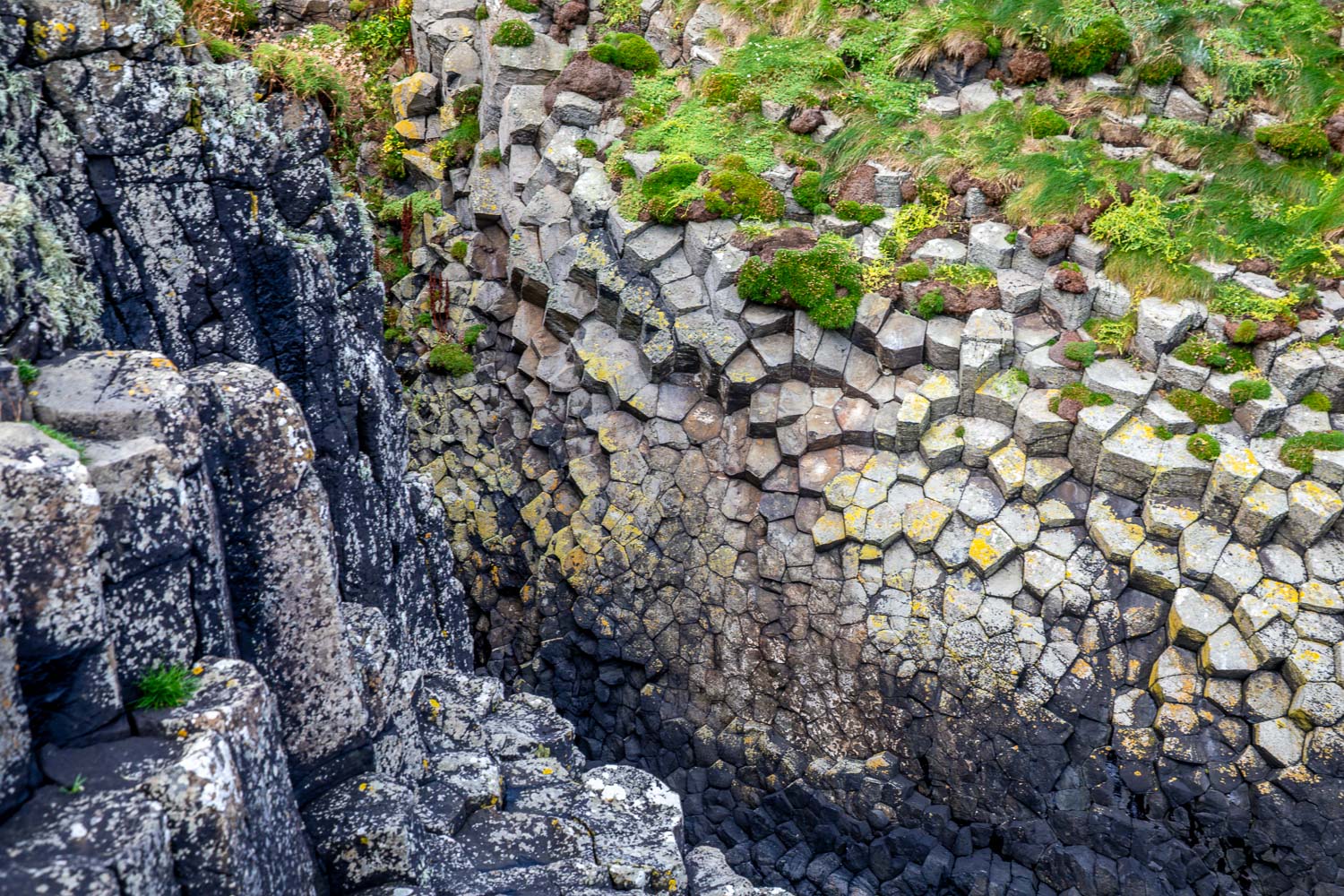
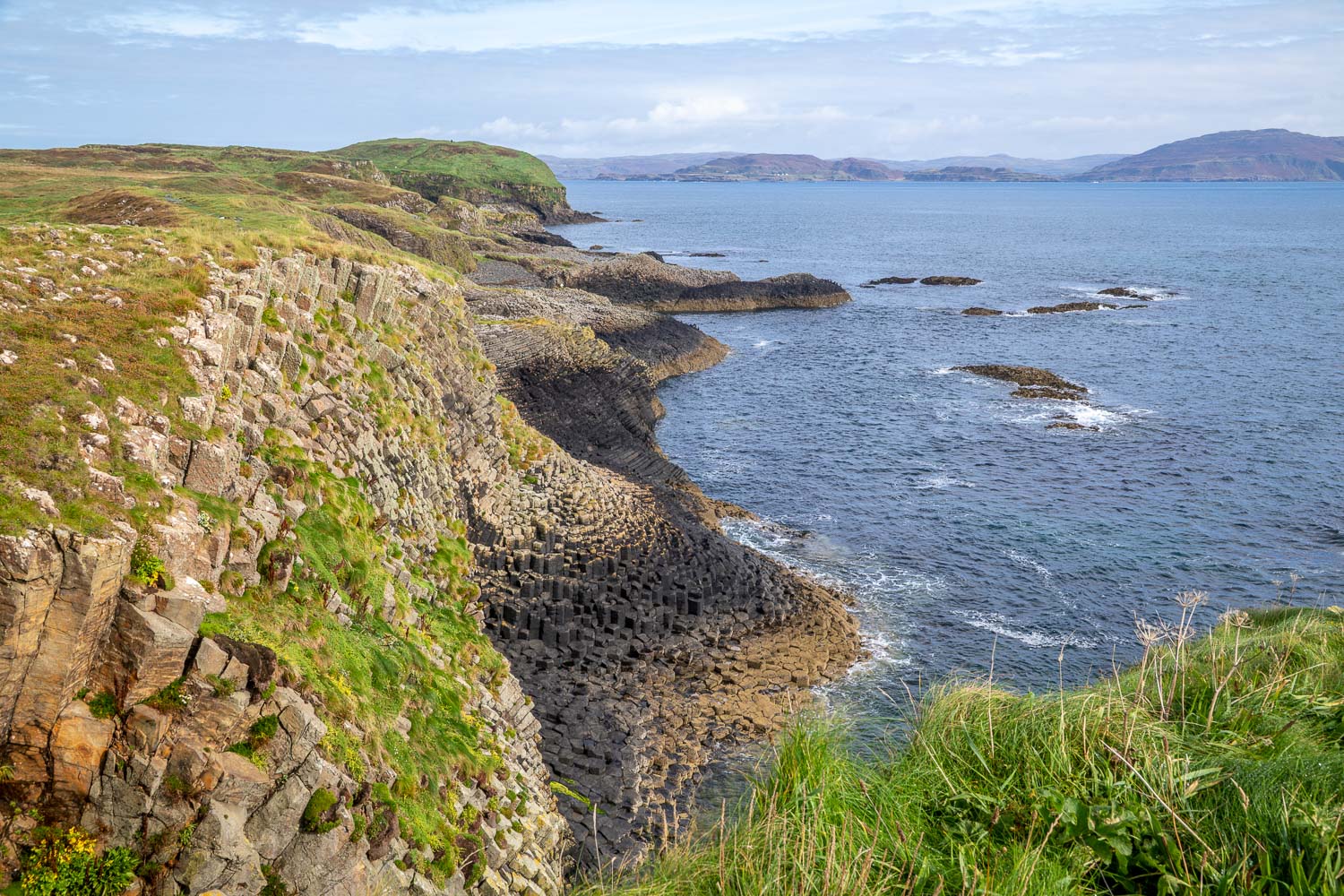
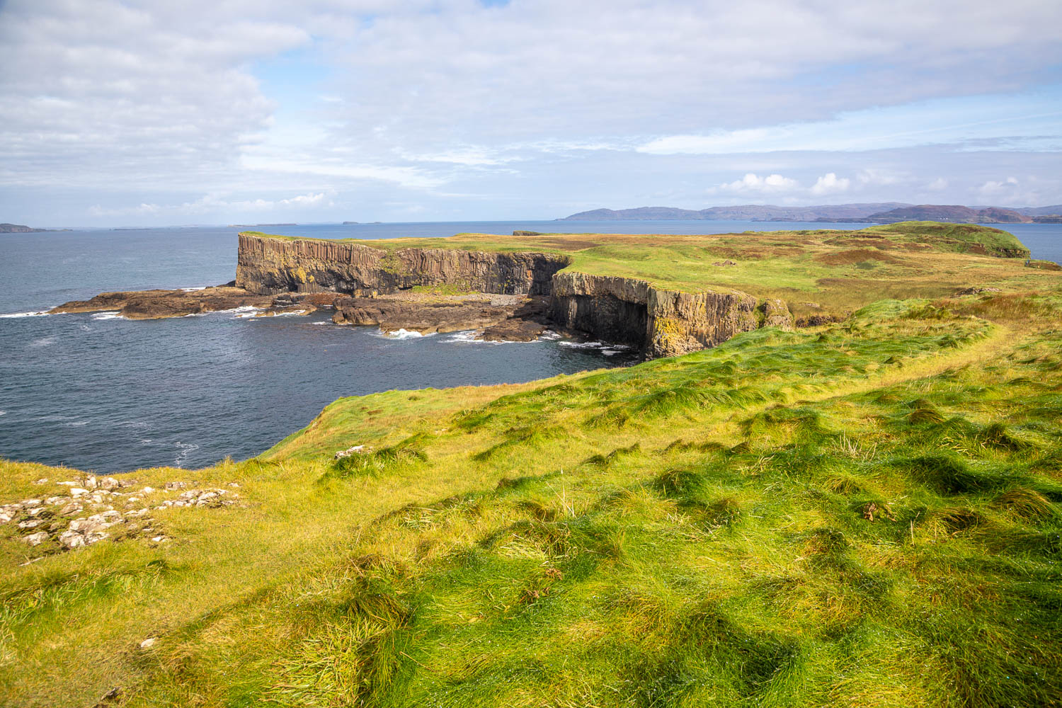
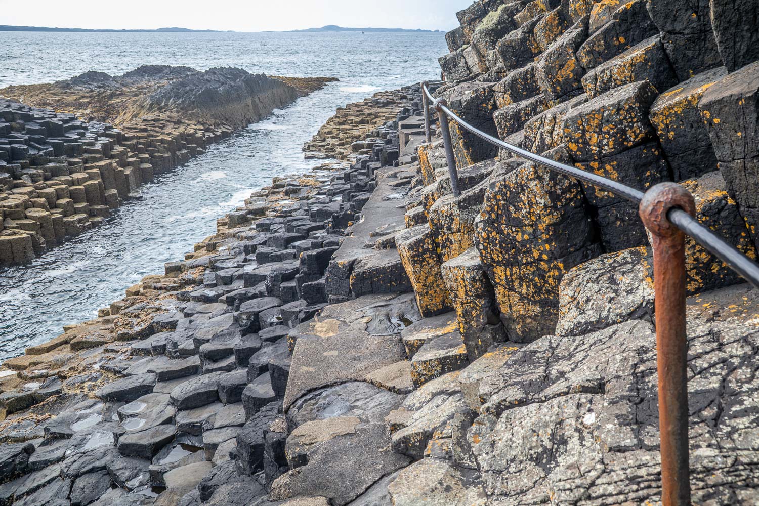
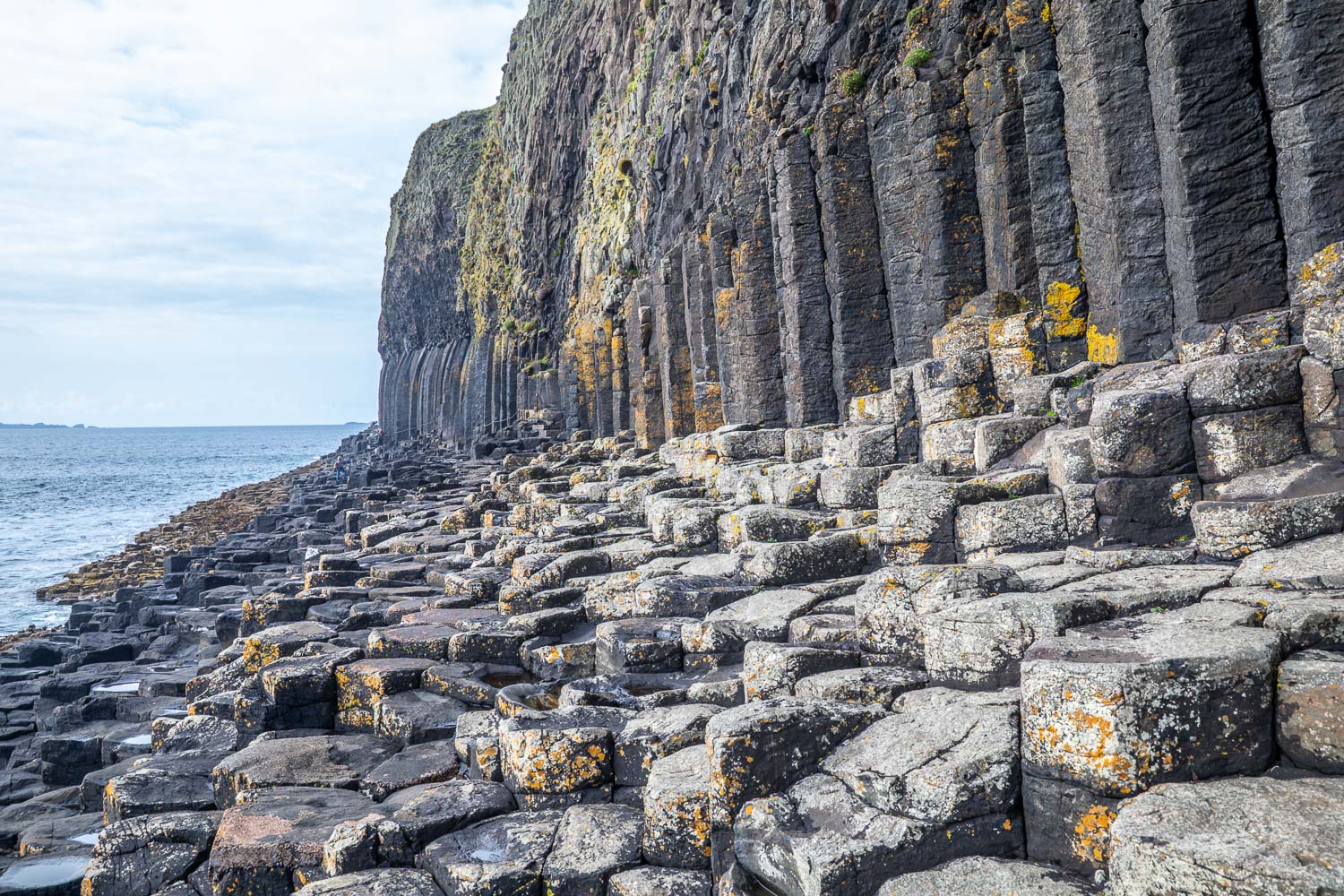
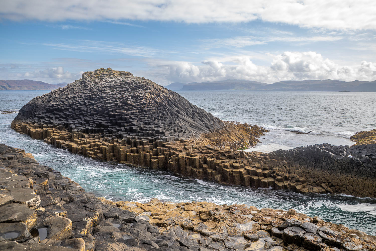
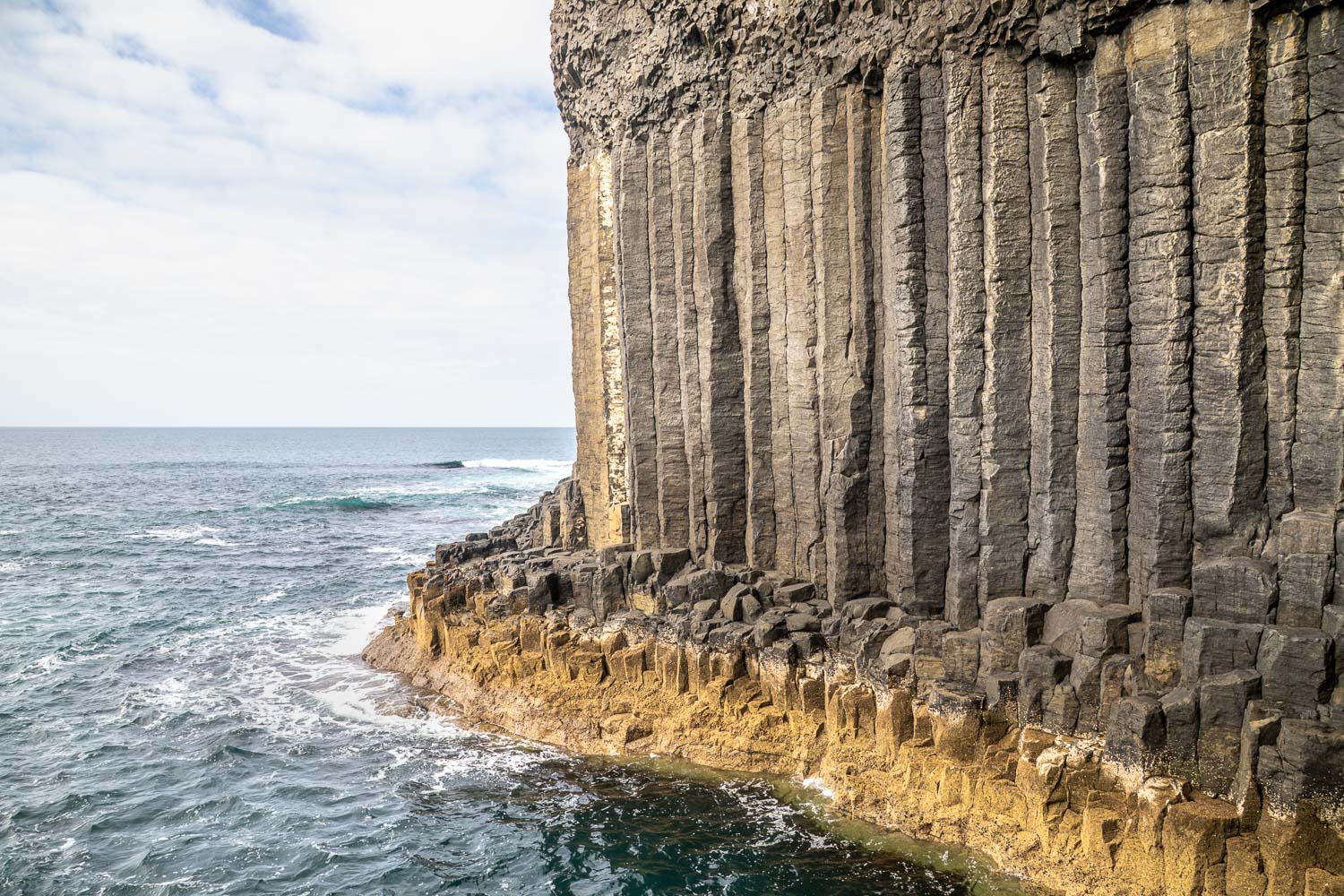
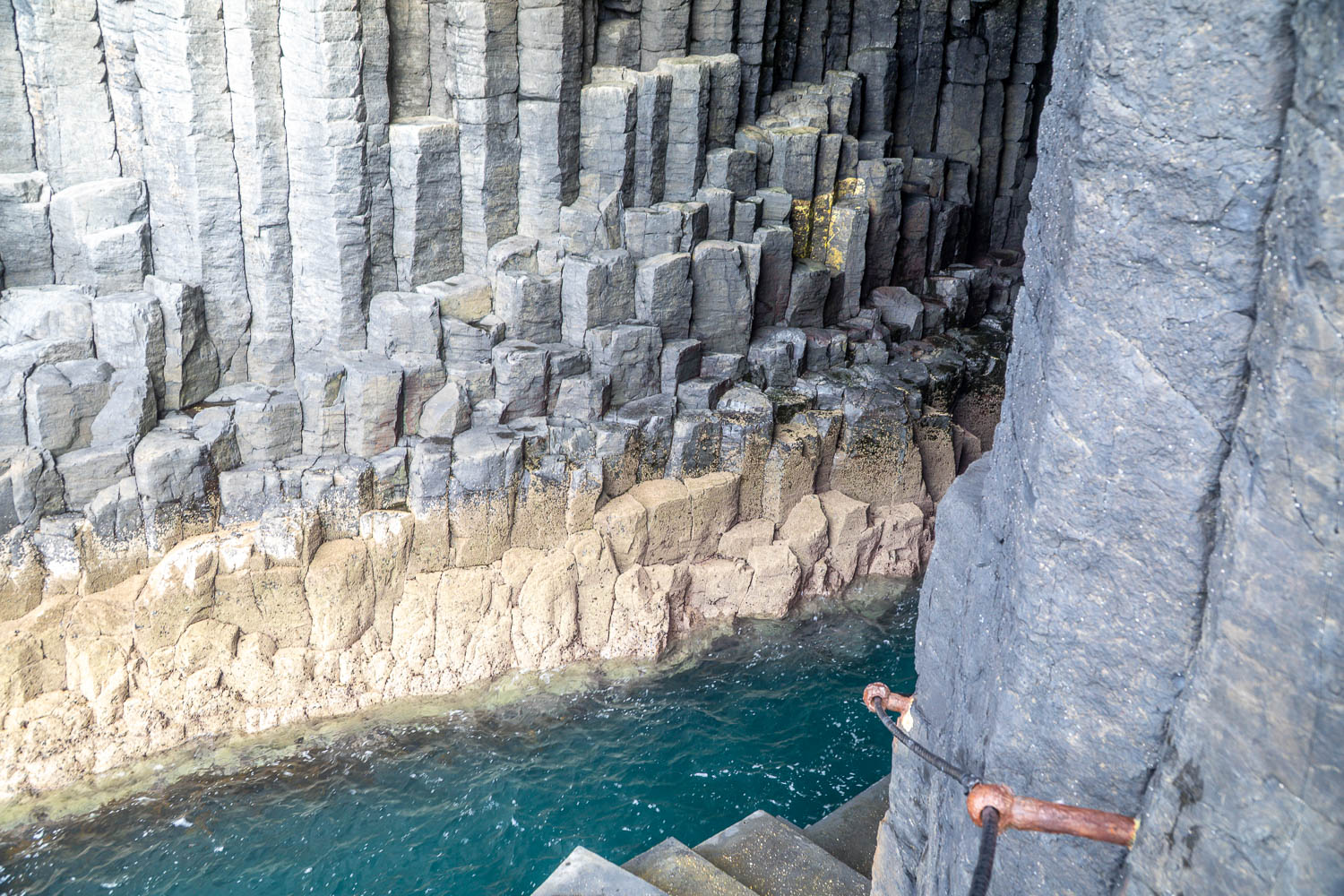
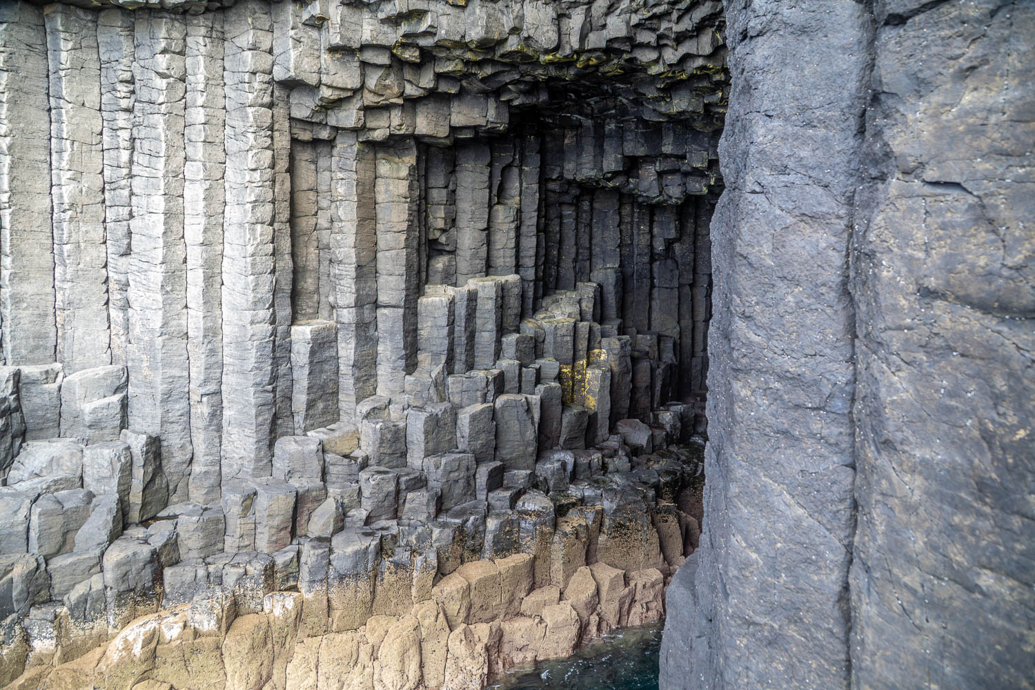
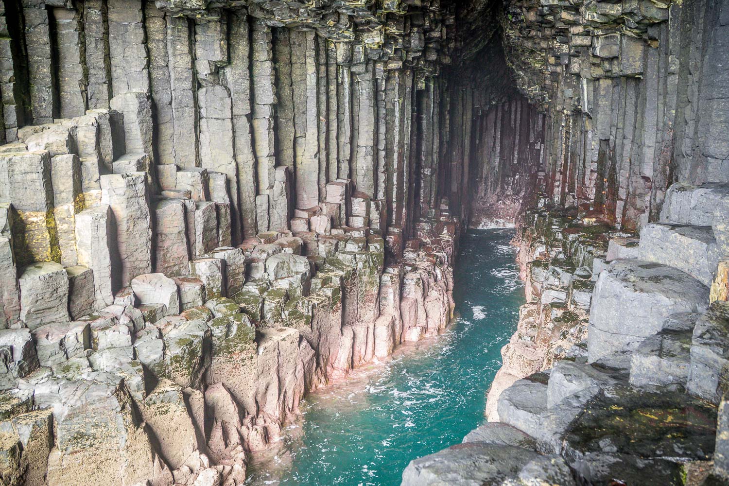
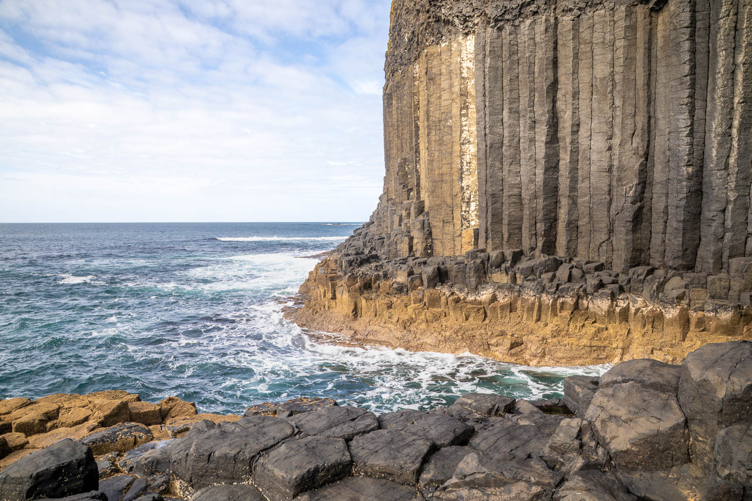
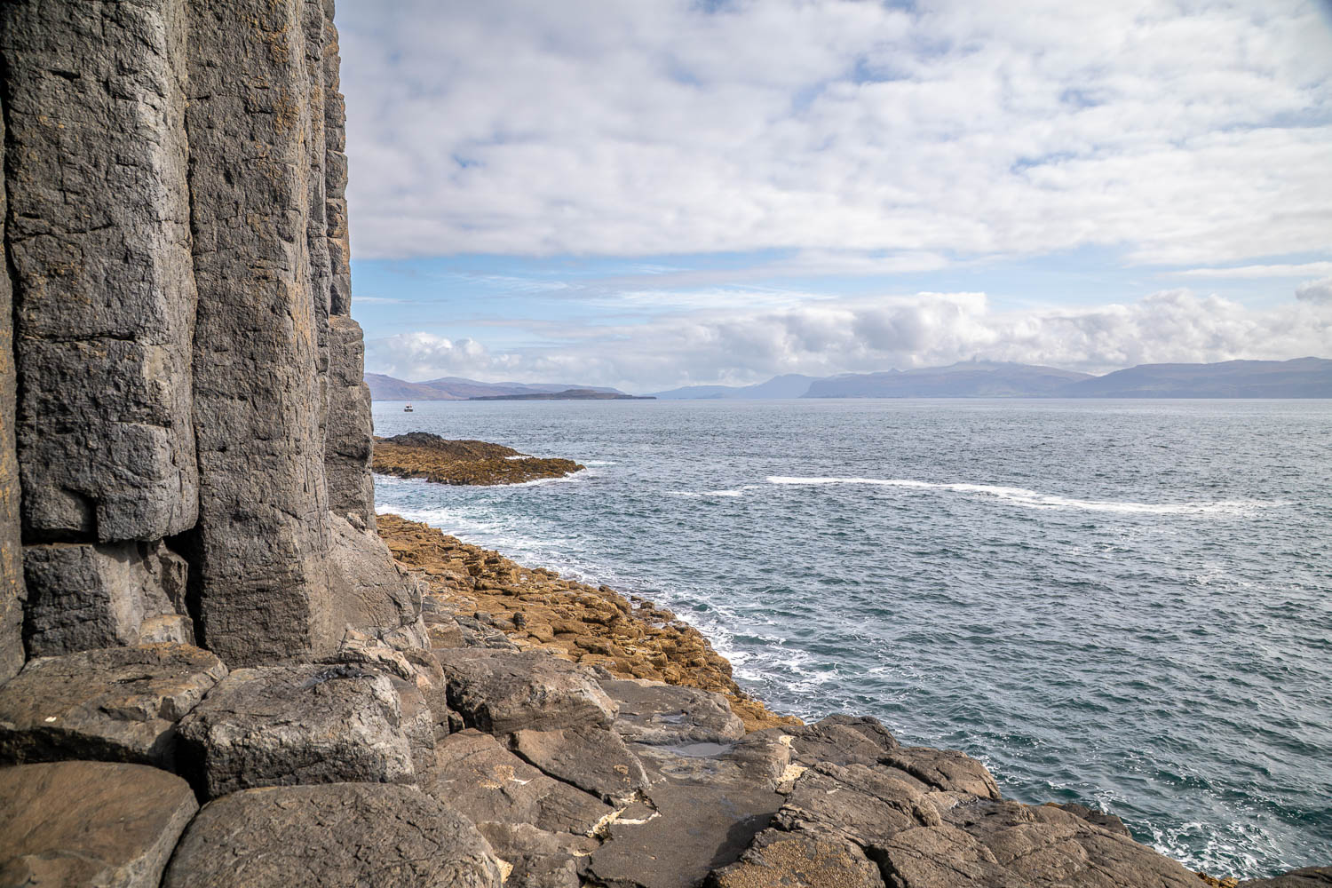
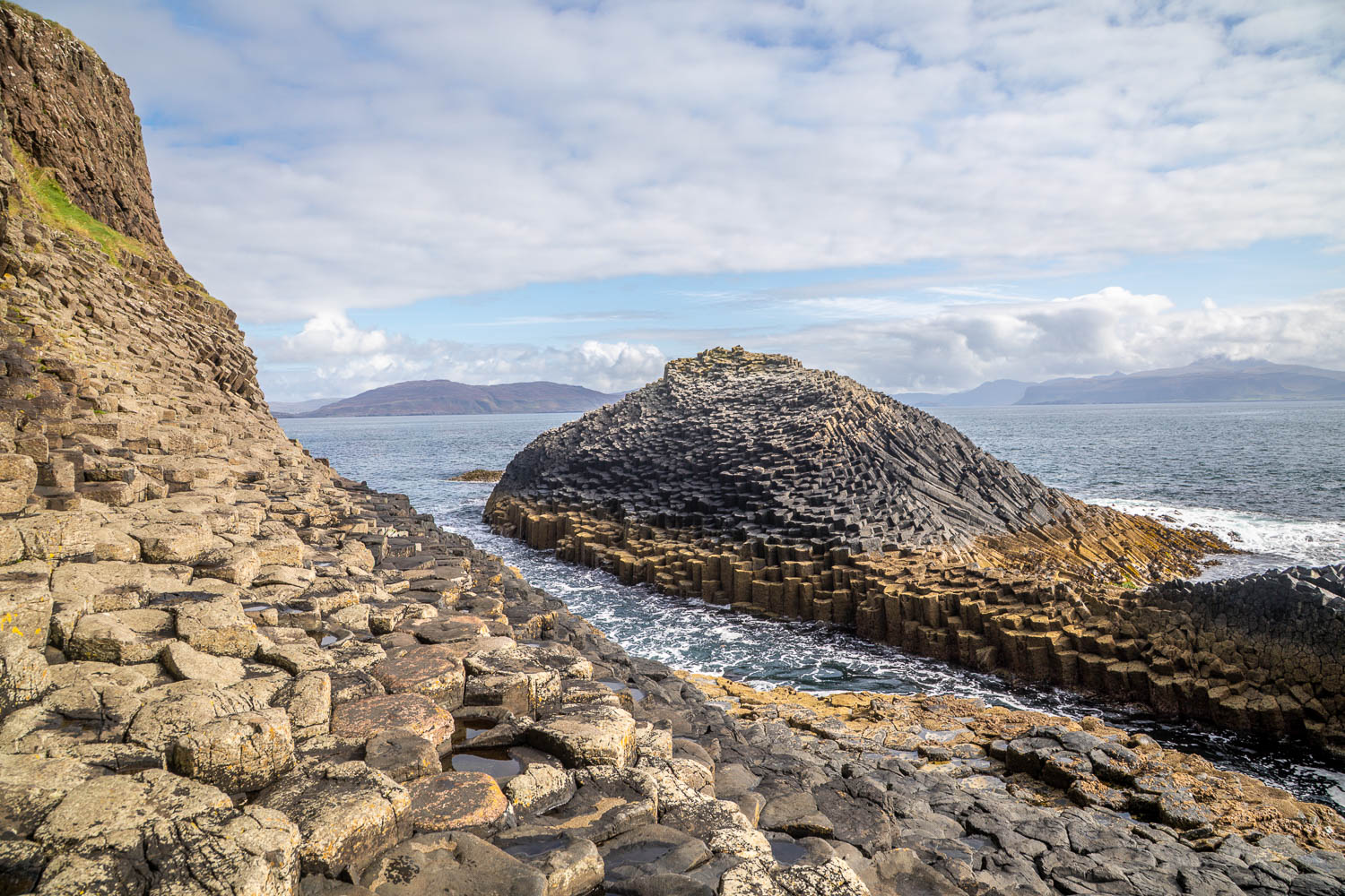
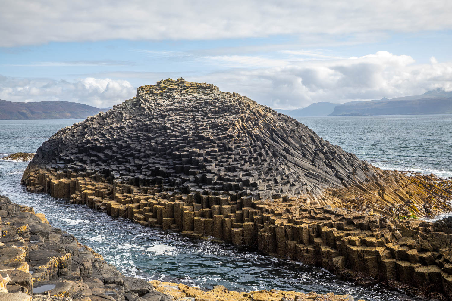
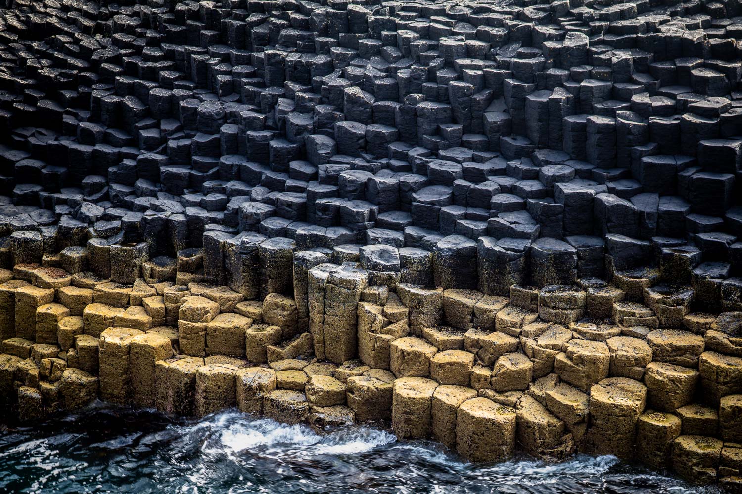
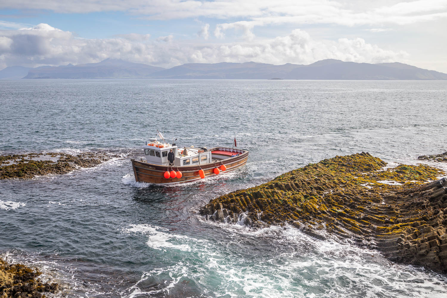
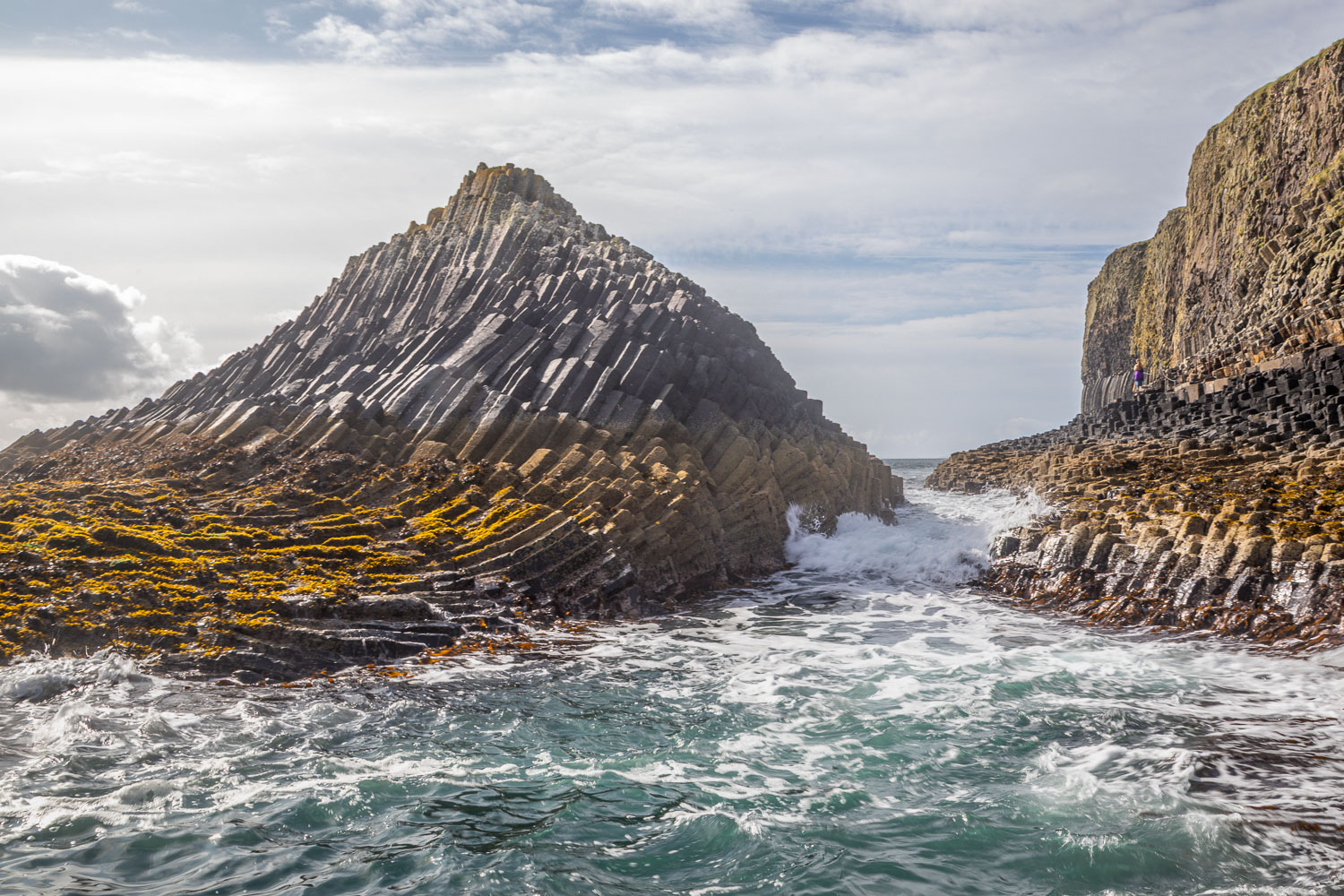
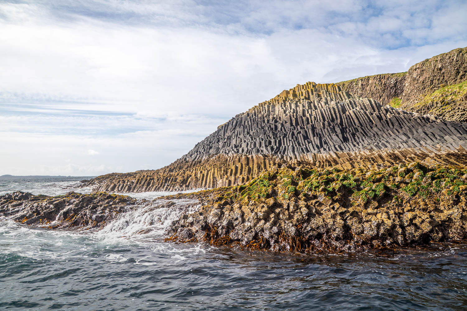
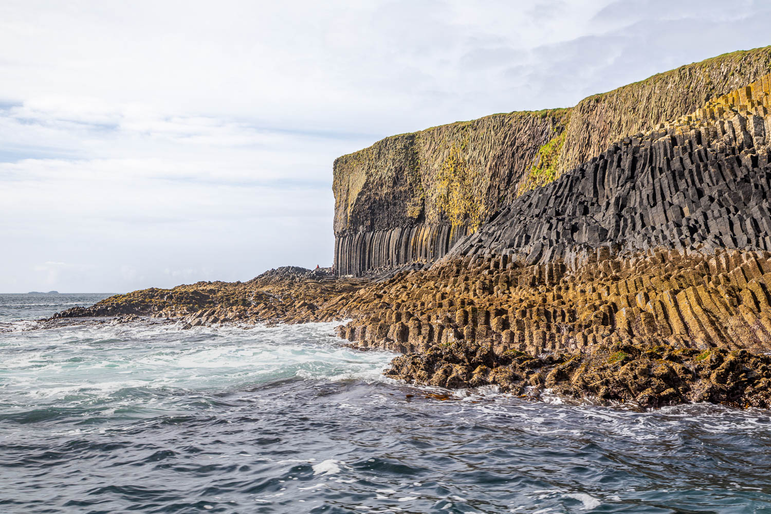
Eventually Staffa hove into view and the captain steered the boat along the coastline, giving everyone the chance to see the incredible basalt columns for which the island is famous, click here for information about the geology of the place. After disembarking (quite tricky with an ocean swell and a small boat), we made our way up a flight of steps to the top of the island. We decided to leave Fingal’s Cave until the end, by which time most visitors would have seen it. There are numerous paths which meander across the top, all of which offer spectacular views. I’ve not suggested a route as this will depend on the time available. We had an allotted hour or so, which was plenty of time

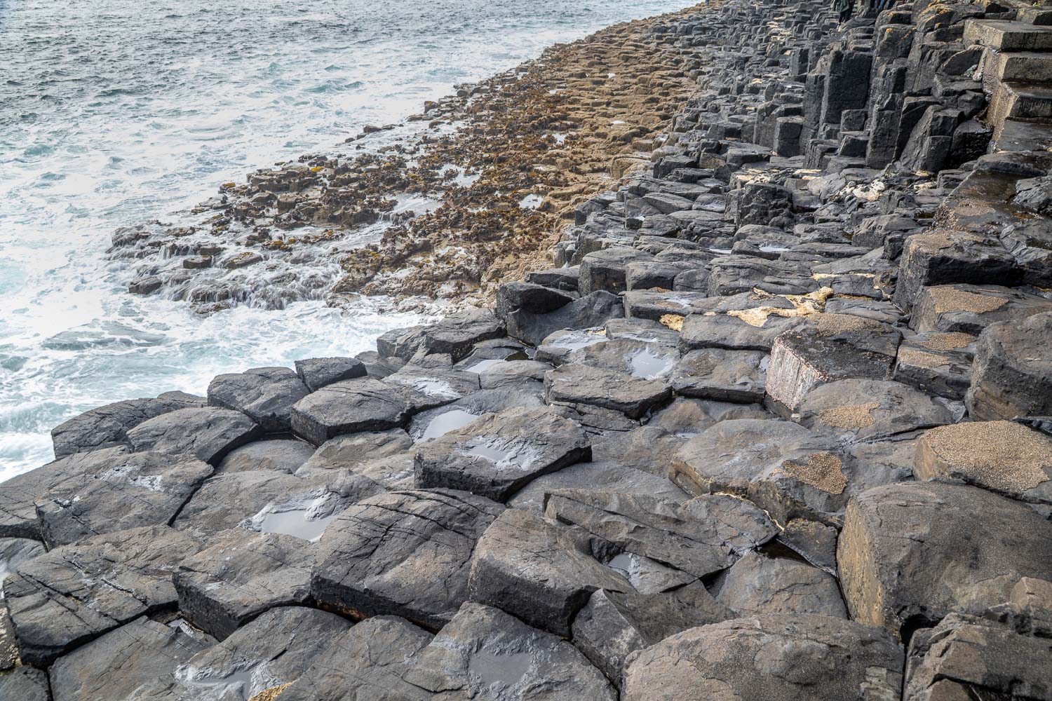
We then descended back to the landing stage and set off along the foot of the cliffs to seek out Fingal’s Cave. This involves walking over basalt columns (which can be very slippery when wet) with a comforting fence to hold onto at times. We arrived at the entrance to the cave – an incredible place – and walked into it along a narrow path. From here we retraced our steps in time to catch the boat back

This wasn’t the end of the adventure though, since Staffa Trips offer the option to disembark on Iona, see my next walk

The Isle of Staffa is very small, and a route map isn’t necessary. The Map Page links to the National Trust for Scotland website with a plan showing the geography of the island. Note that Staffa is completely uninhabited and there are no facilities whatsoever

Scroll down – or click on any photo to view as a slideshow

Follow the link for more walks in Scotland (50)

Posted by Andrewswalks in Hebrides, Scotland
Calgary Bay

Calgary Bay

Route: Calgary Bay

Area: Isle of Mull, Scotland

Date of walk: 12th September 2026

Walkers: Andrew and Gilly

Distance: 2.0 miles

Ascent: 100 feet

Weather: Mostly sunny

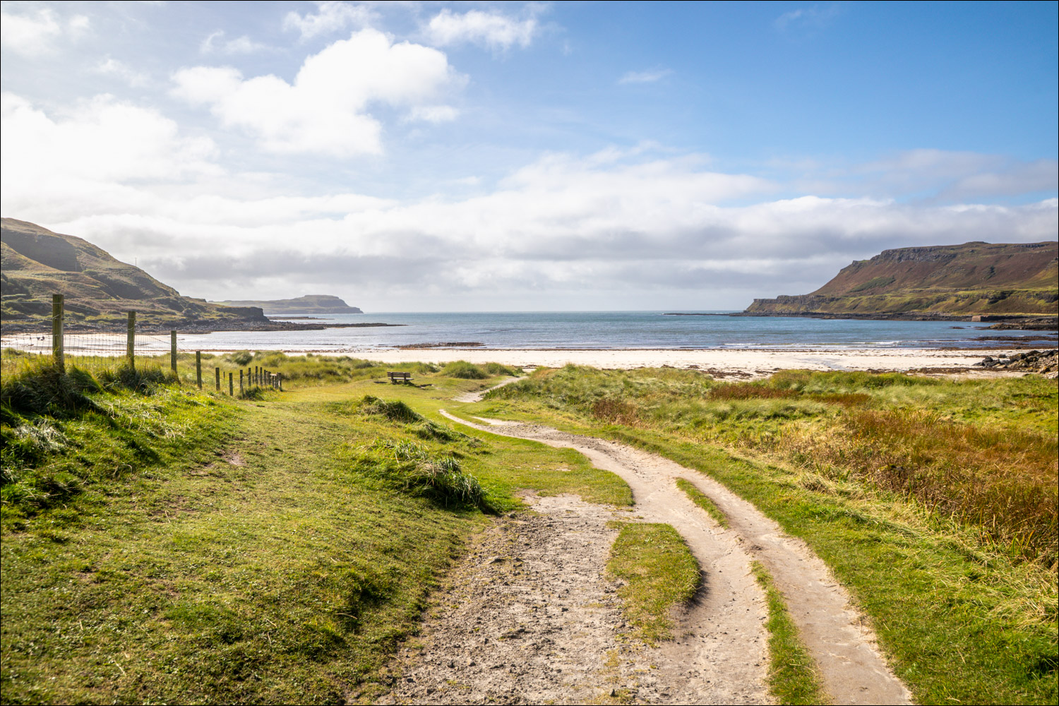
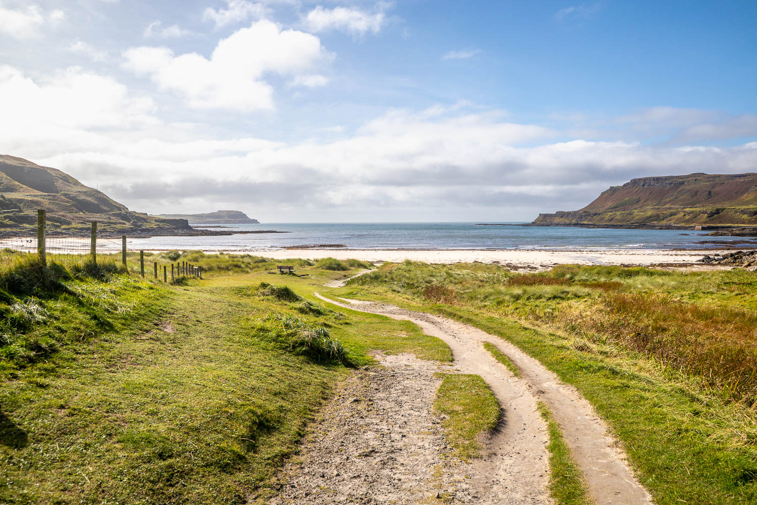
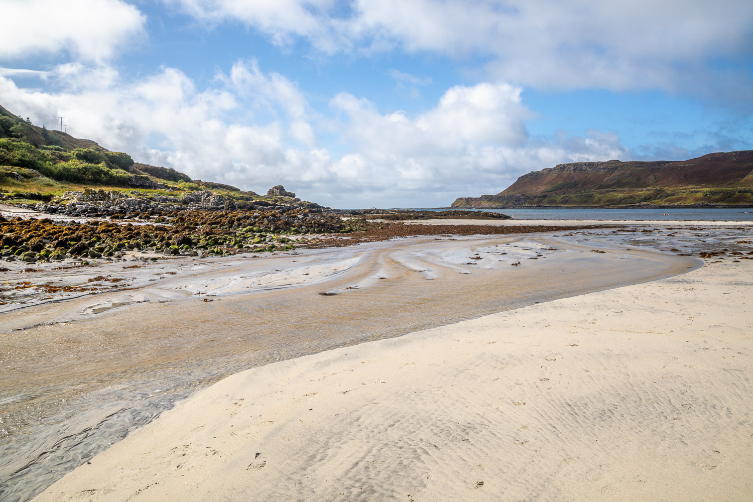
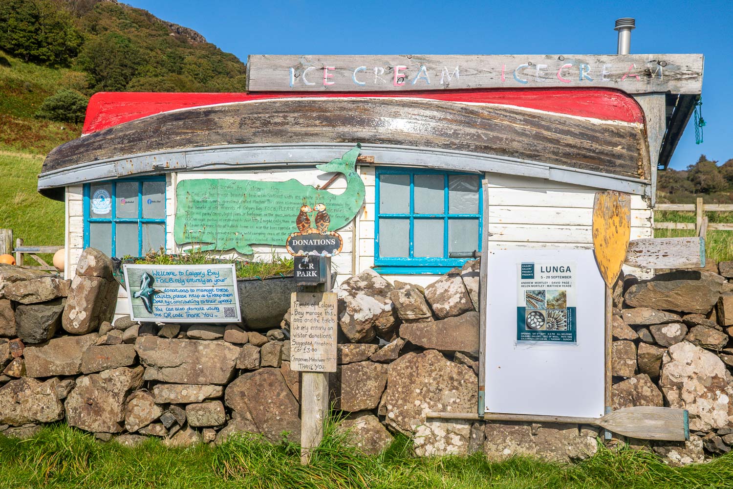
Calgary Bay is the largest and most accessible beach on the north of Mull. Calgary in Canada takes its name from here. This was a favourite summer home of Colonel James Macleod of the Canadian North West Mounted Police. In 1876, after he returned from staying in Calgary Castle (the imposing house overlooking the bay), he suggested its name for Fort Calgary which in turn gave its name to the city of Calgary, Alberta

We had planned include the ‘Art in Nature’ Trail which starts above the beach and follows a path through Calgary Wood, but on arrival it was raining heavily, so we decided to park at the beach and hope for an improvement in the weather

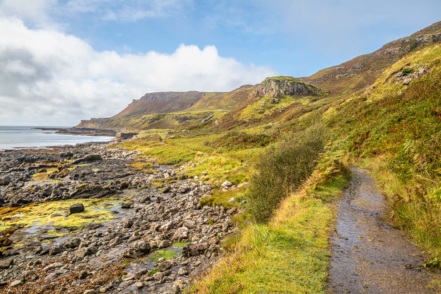
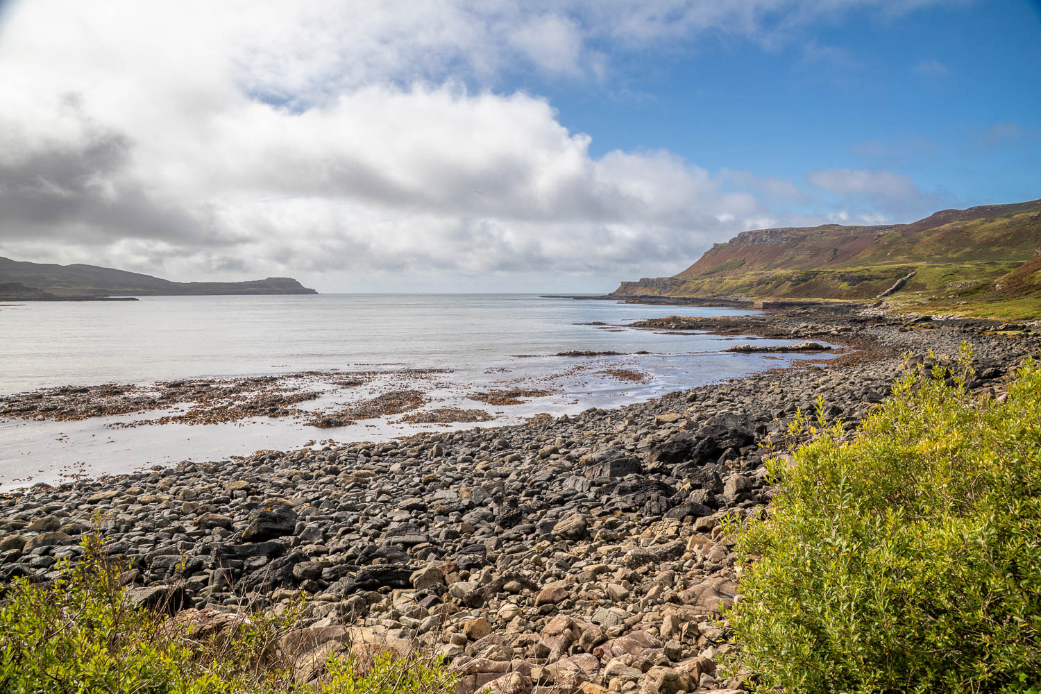
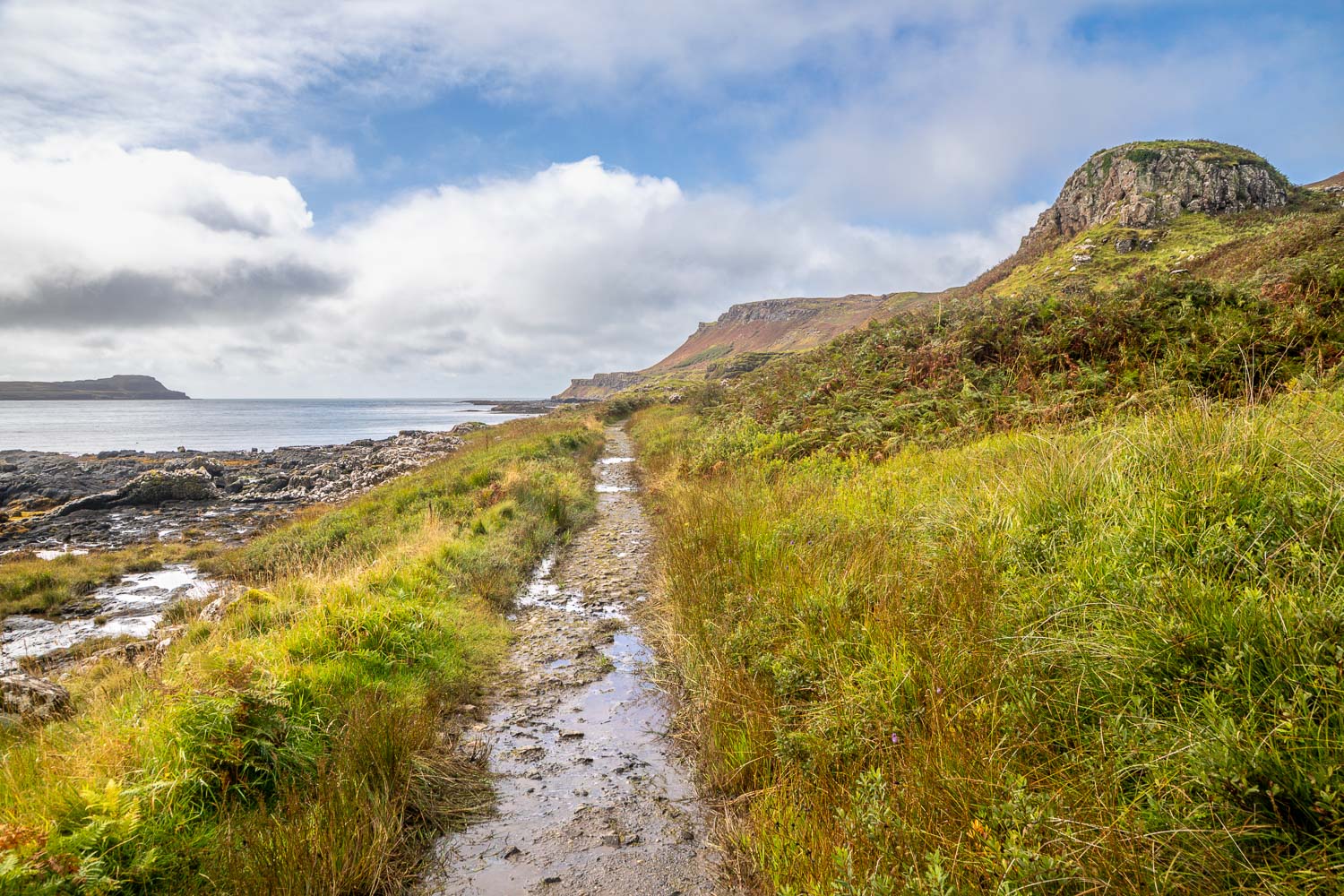
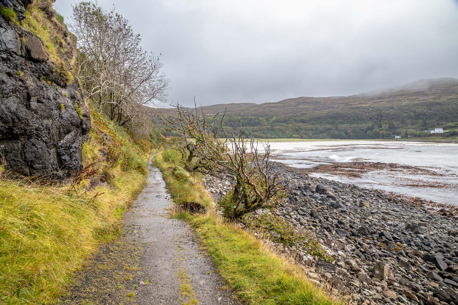
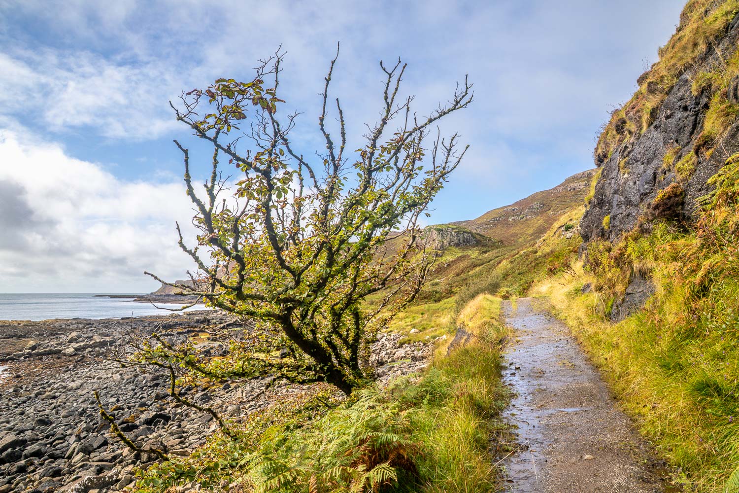
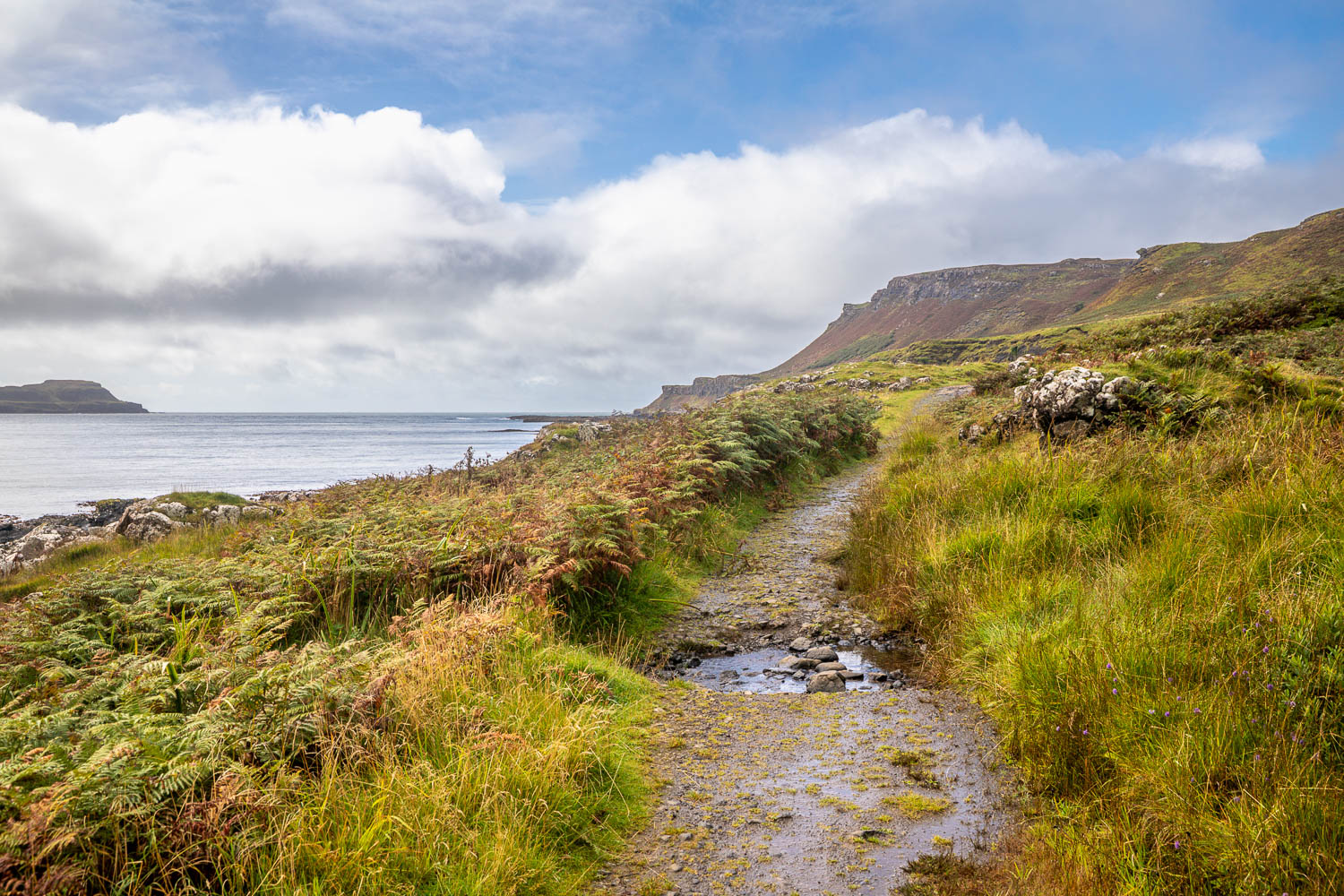
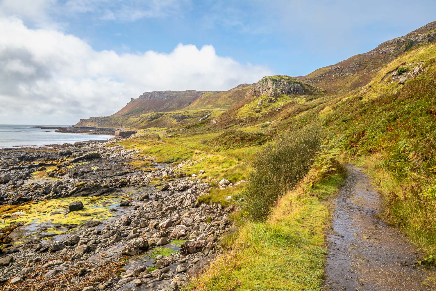
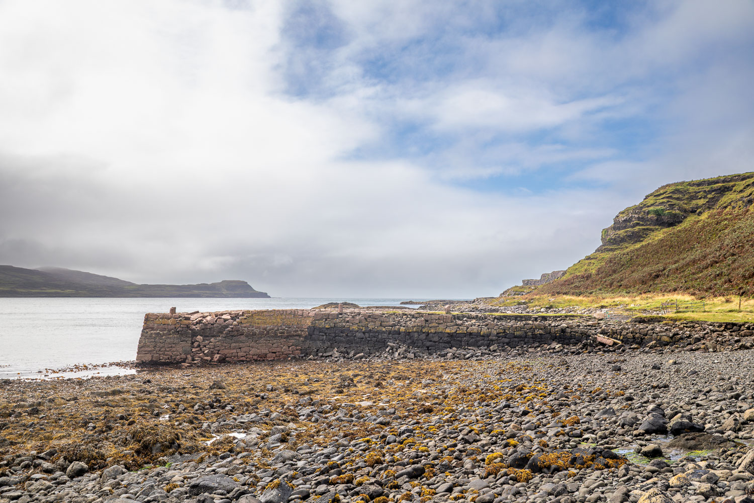
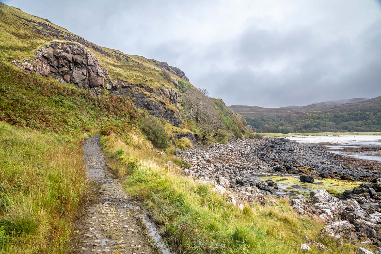
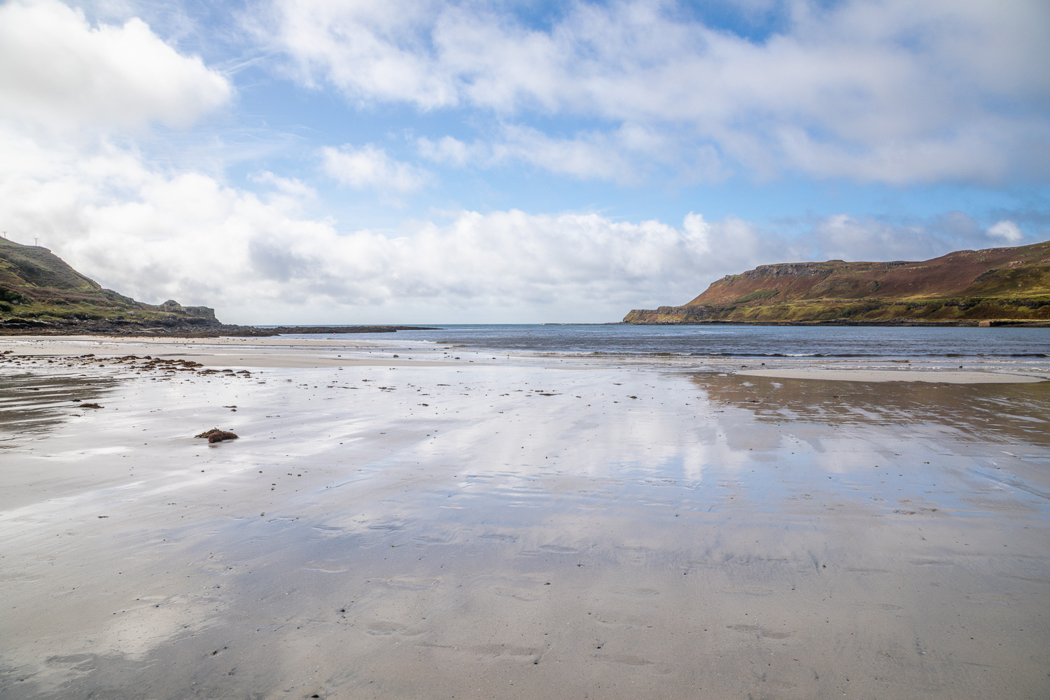
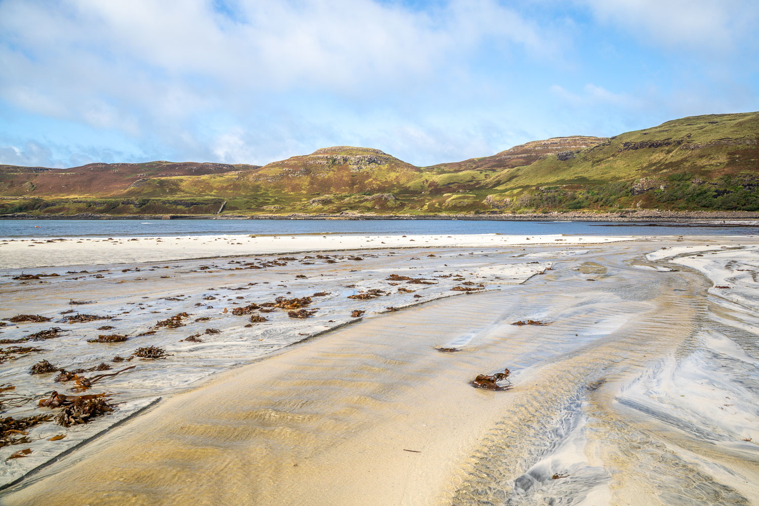
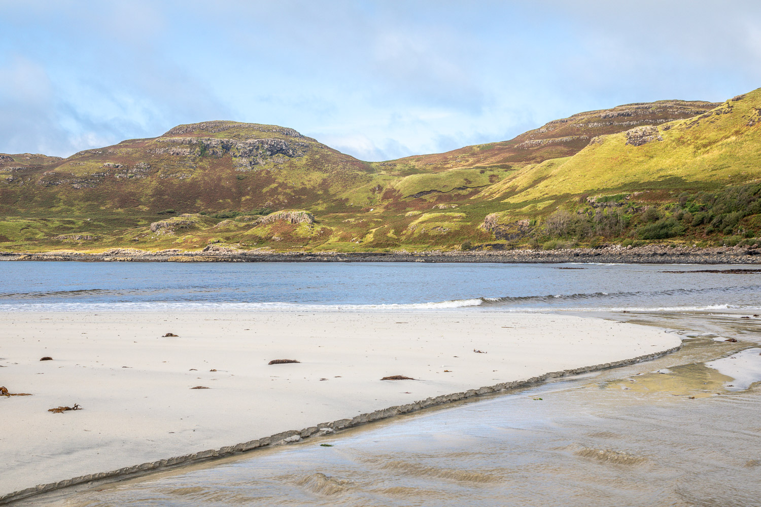
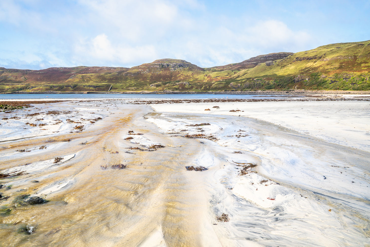
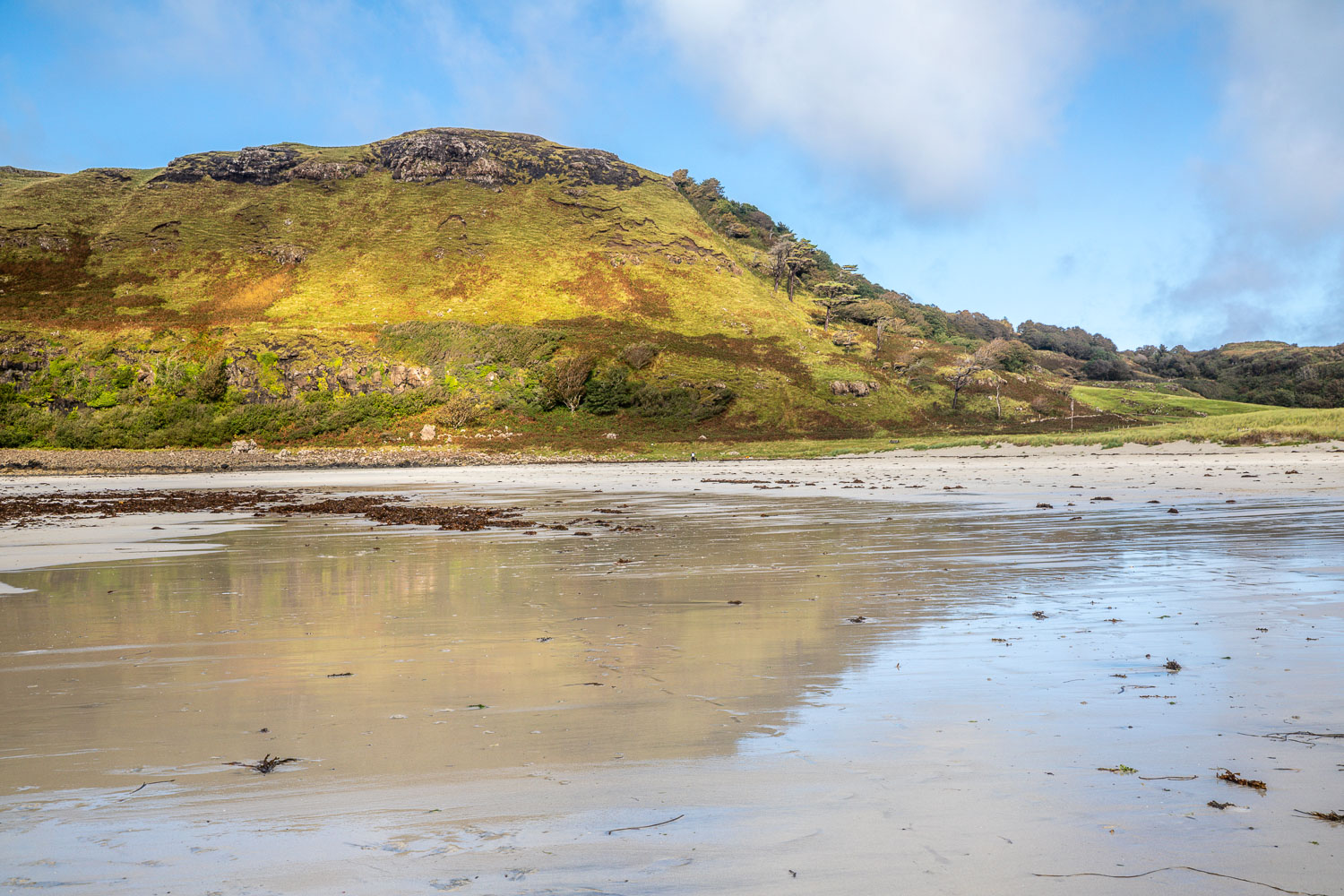
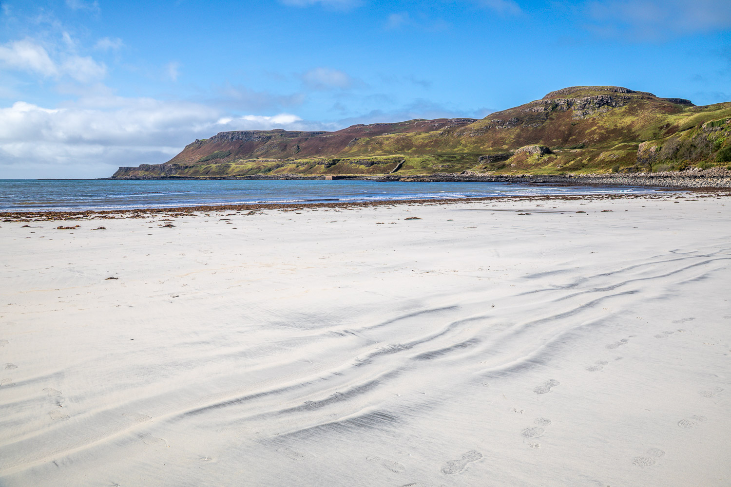
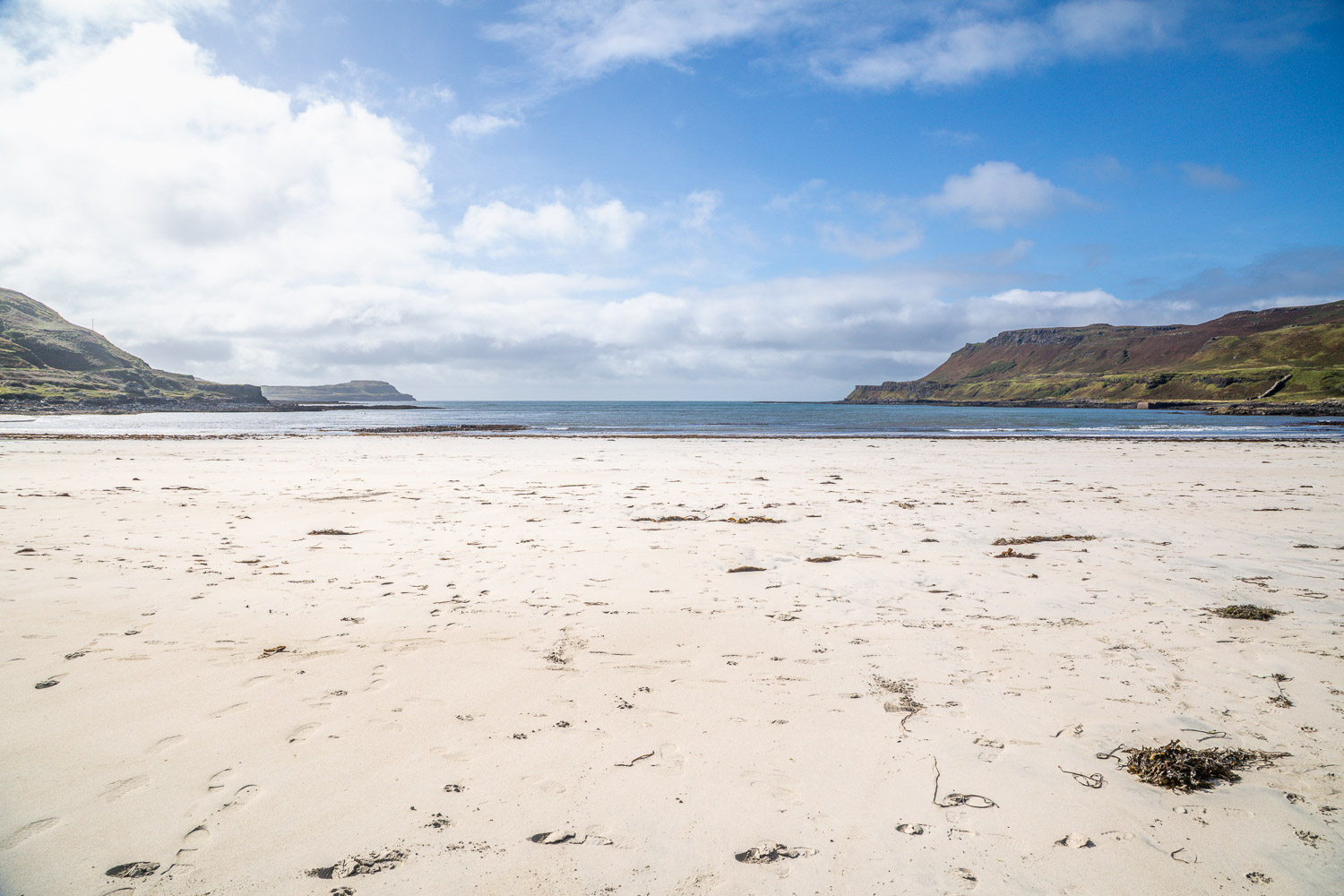
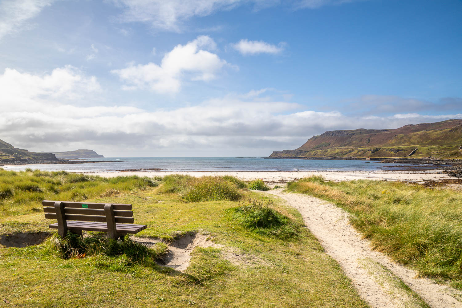
As we waited, the rain gradually stopped and we could see some blue skies in the distance, being propelled ever closer by strong winds. We decided to set off on a slightly shorter walk than planned and followed a track along the north (right hand side of the bay). There were lovely views across the bay to Tresnish Point. Eventually we reached an old harbour and pier. Further progress along the coast isn’t possible unless diverting uphill to the ruined houses of Arin and so we retraced our steps back to the beach. By now the weather was fine and the white sands, sculpted by the Atlantic Ocean, were shown in good light

We wandered to the far end of the beach and back again to return to the car park to end an enjoyable short walk

Click on the icon below for the route map (subscribers to OS Maps can view detailed maps of the route, visualise it in aerial 3D, and download the GPX file. Non-subscribers will see a base map)

Scroll down – or click on any photo to view as a slideshow

Follow the link for more walks in Scotland (50)

Posted by Andrewswalks in Mull, Scotland