Route: Treshnish coast
Area: Isle of Mull, Scotland
Date of walk: 15th September 2026
Walkers: Andrew and Gilly
Distance: 7.1 miles
Ascent: 500 feet
Weather: Mixed cloud and sunny spells, several rain showers
The Treshnish peninsula is located on the north west of the Isle of Mull, and is known for its dramatic cliffs. Some inland walking is required before the Treshnish coast is reached. We parked in an old quarry along the B8073, near Ensay, where there is room for 6-7 cars. We walked along the single track road for a short distance before turning left to join the track to Treshnish, where the Atlantic Ocean came into view. We continued across the moor, following an easy track, and passed by the remote cottages at Haunn
We arrived at the Treshnish coast and were fortunate that the weather improved along this spectacular section of the walk. The Treshnish Isles, a group of 8 uninhabited islands, could be seen in the distance. At Rubh a’Chaoil we descended a natural stone staircase to the shore. There’s a choice of paths here – an easier one higher up the cliffs, or a harder one below them which follows old sheep tracks. We opted for the latter so as to keep closer to the Treshnish coast. The path was very narrow and a little awkward at times, with drops off to the right though never so steep as to induce feelings of vertigo
We paused for our picnic above a rocky bay, spending some time in search of otters which frequent the coast, but were out of luck. A little further on we passed above the Whisky Cave, where the best ‘moonshine’ on Mull was once distilled. The cave can be visited by climbing down a gully and back up again, but we decided to carry on. After fording a burn below a waterfall (not a straighforward affair after yesterday’s non-stop rain) we arrived below another waterfall and this signalled the end of the Treshnish coast section of the walk. We turned left to climb quite steeply uphill, following a path which zigzagged up to the moors
We passed by the ruins of the village of Crackaig on our left, which was abandoned after a devastating typhoid outbreak, and then through another ruined settlement, Glac Gugairidh. It was hard to imagine how life must have been for the inhabitants of these remote places. From here we walked over bleak moorland before arriving at the improbably situated Tin Shed Gallery. This brought us back to the road. At this point the heavens opened and the remaining mile or so was a miserable trudge back to the car. This put a dampener on the walk, which had otherwise been a joy. During the course of 7 miles we hadn’t seen another soul
Click on the icon below for the route map (subscribers to OS Maps can view detailed maps of the route, visualise it in aerial 3D, and download the GPX file. Non-subscribers will see a base map)

Scroll down – or click on any photo to view as a slideshow
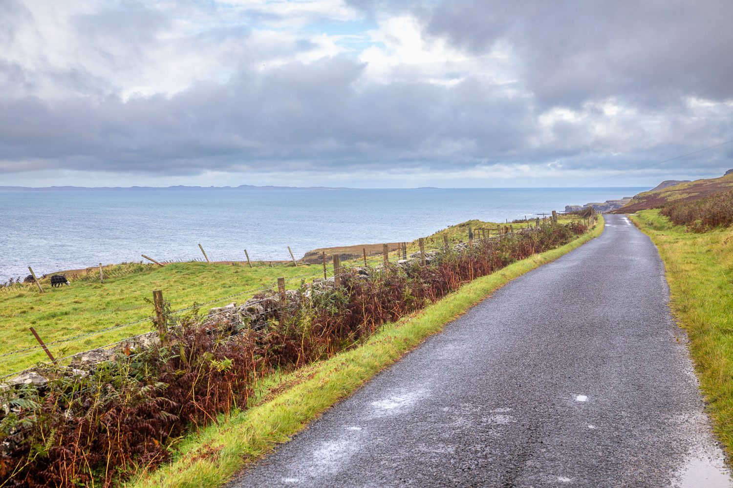
The Atlantic Ocean ahead as we leave the parking spaces at the old quarry and follow the road north for a short distance
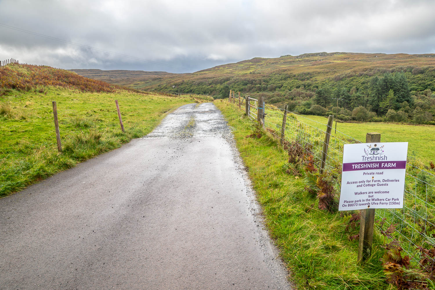
We turn left along the track to Treshnish Farm
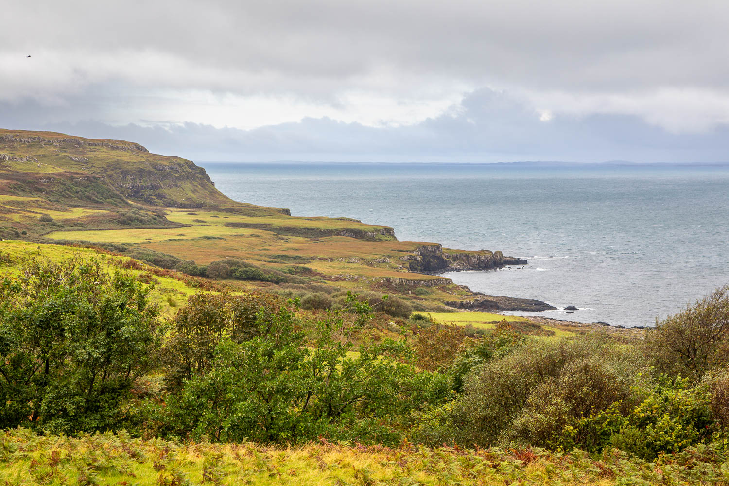
The Treshnish Coast on our right
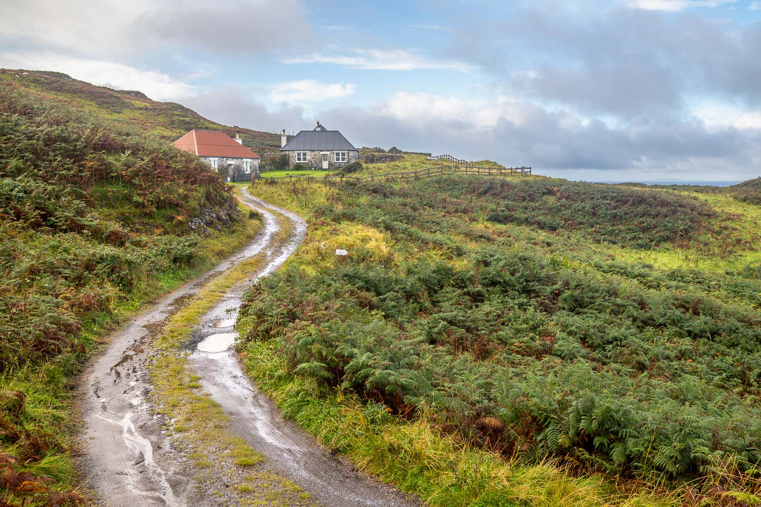
Having walked around the back of Treshnish Farm we head towards the cottages at Haunn, turning right at the sign ahead to follow a path which bypasses them
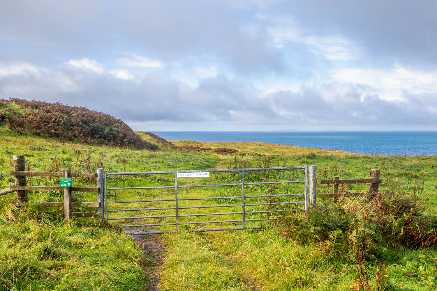
Start of the coastal section, which coincides with some sun and blue sky
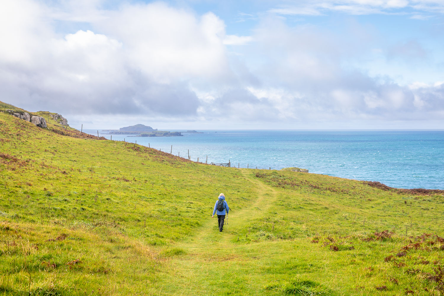
The first of many sightings of the Treshnish Isles, a group of 8 uninhabited islands
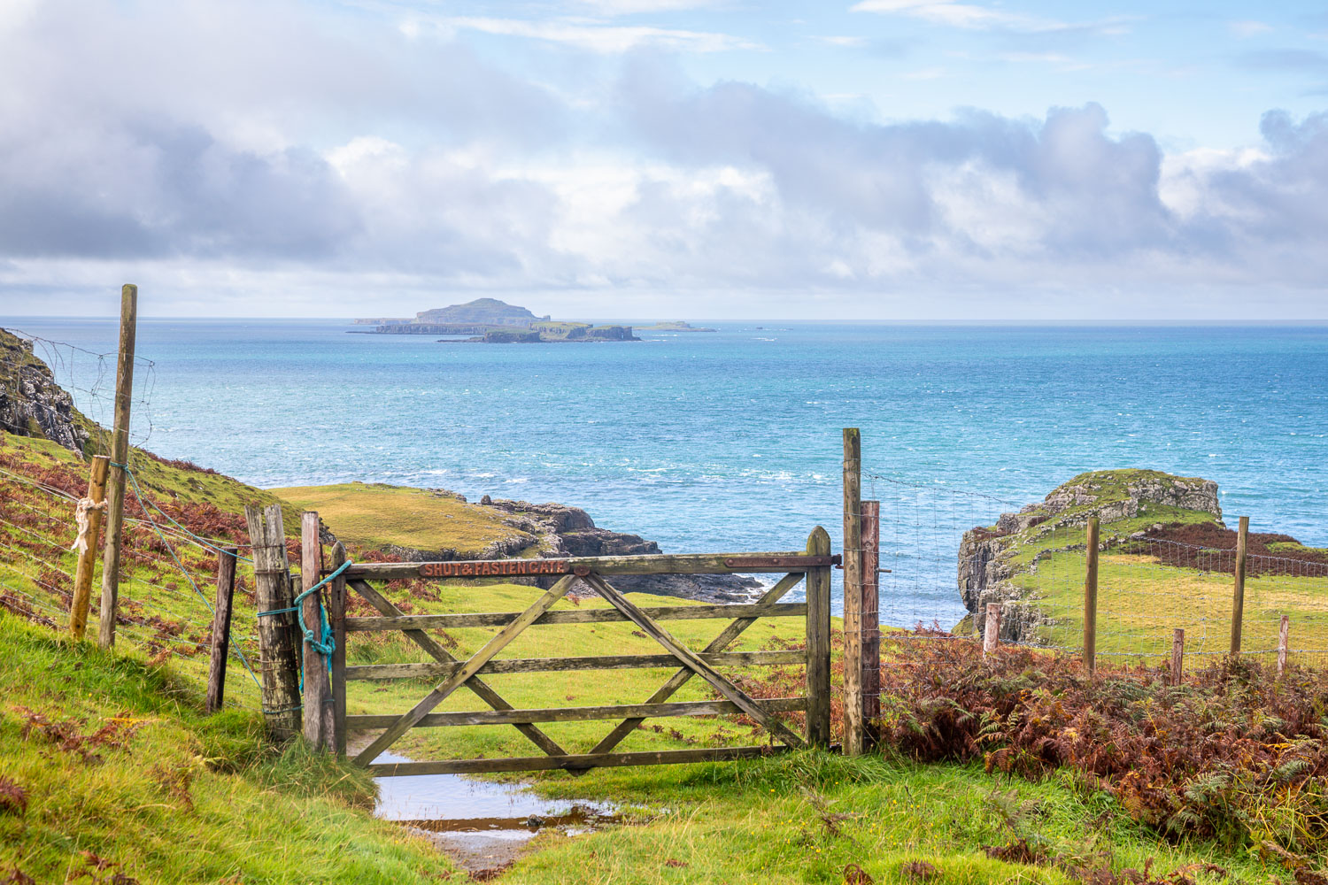
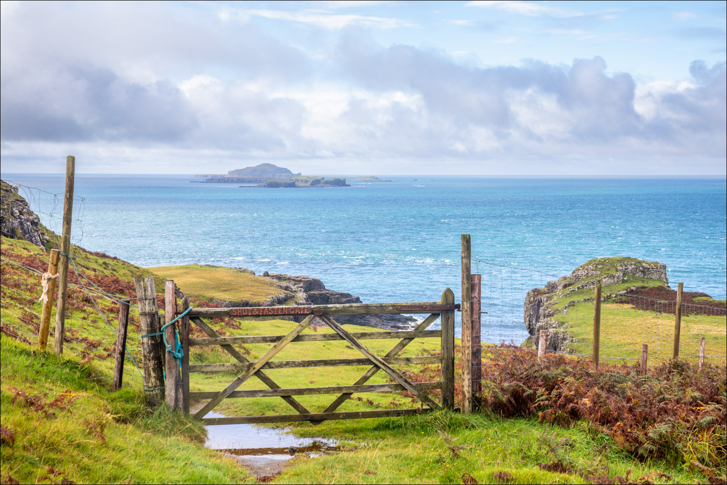
We pass through the gate
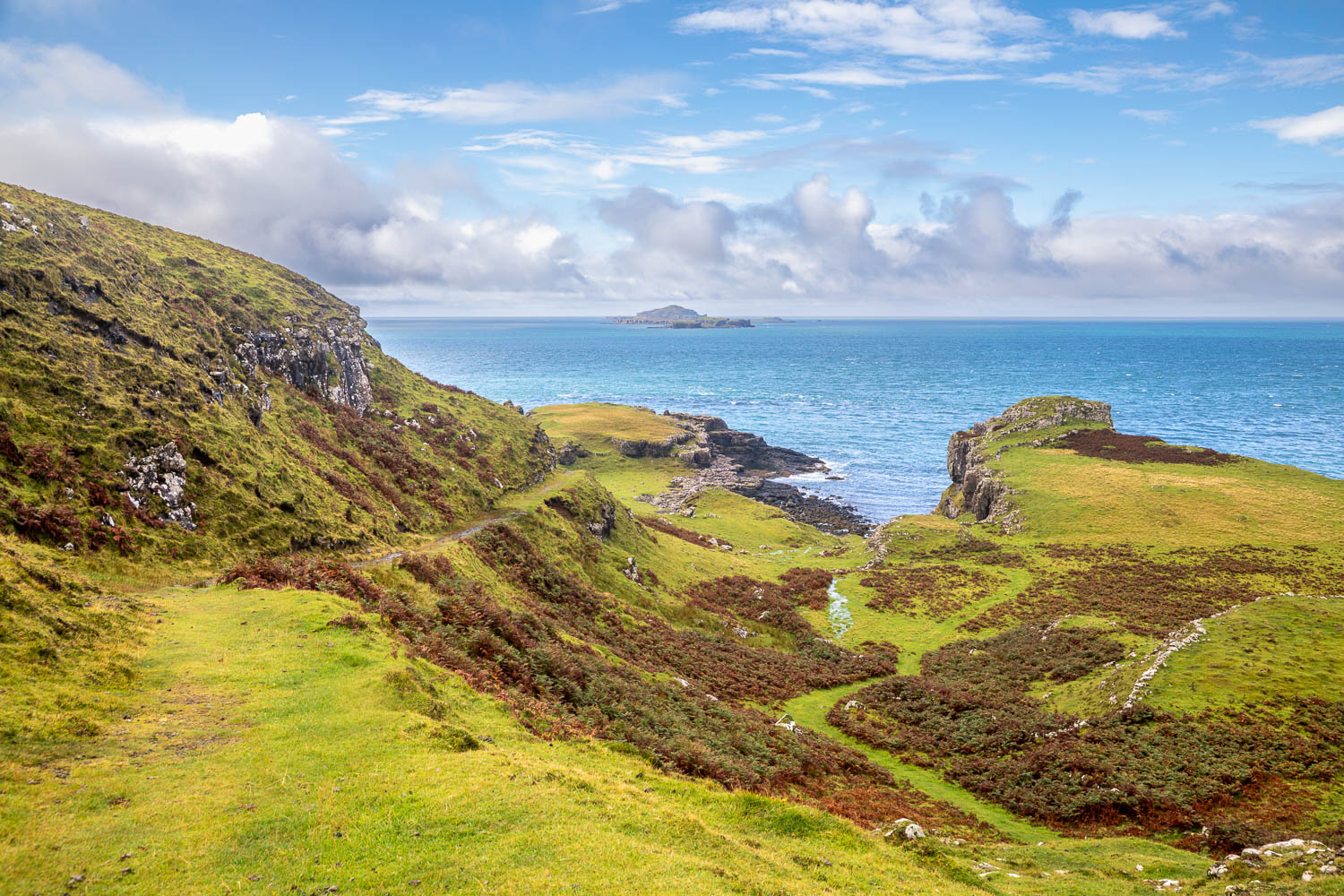
Port Haunn below
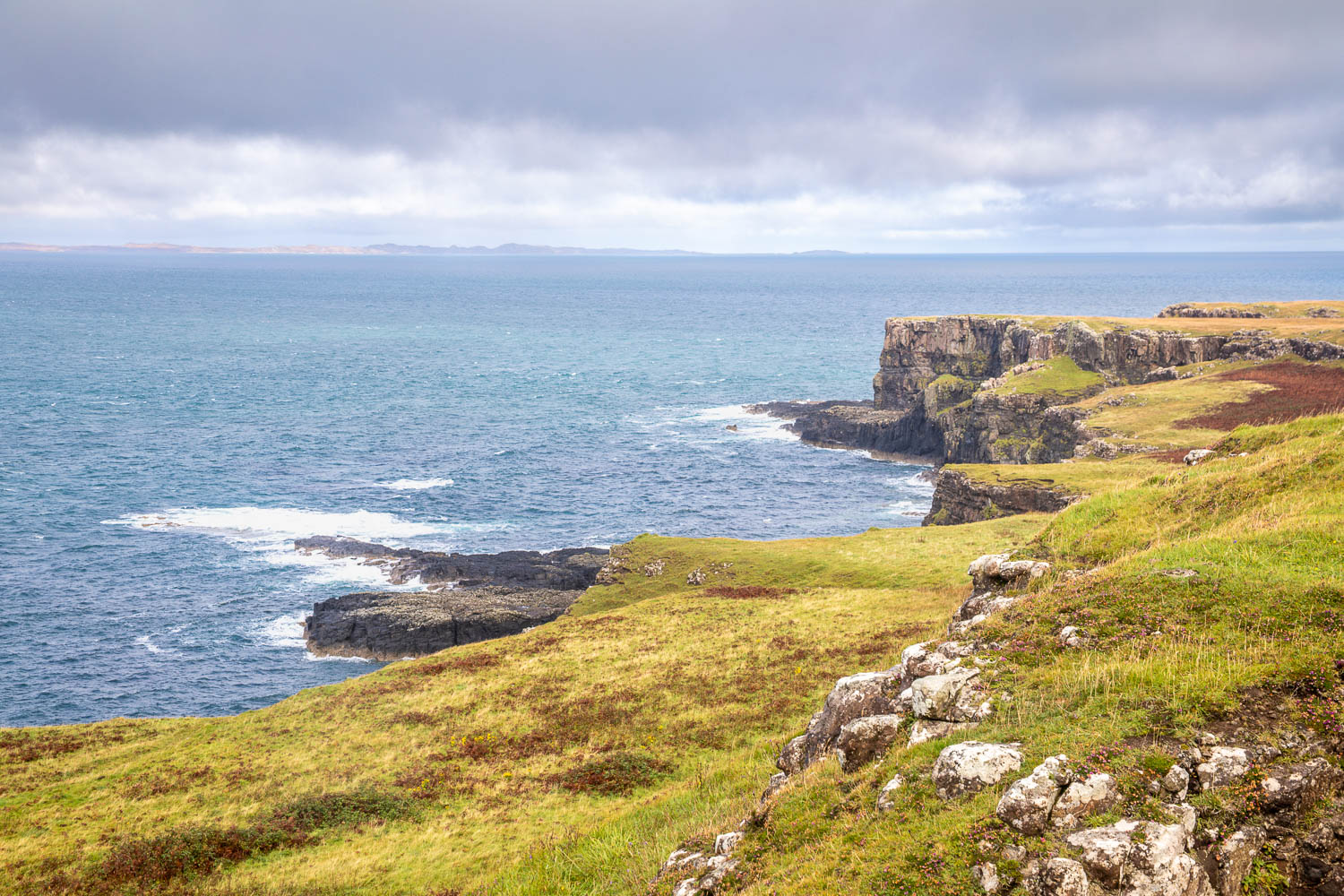
Looking back along the Treshnish Coast towards Treshnish Point
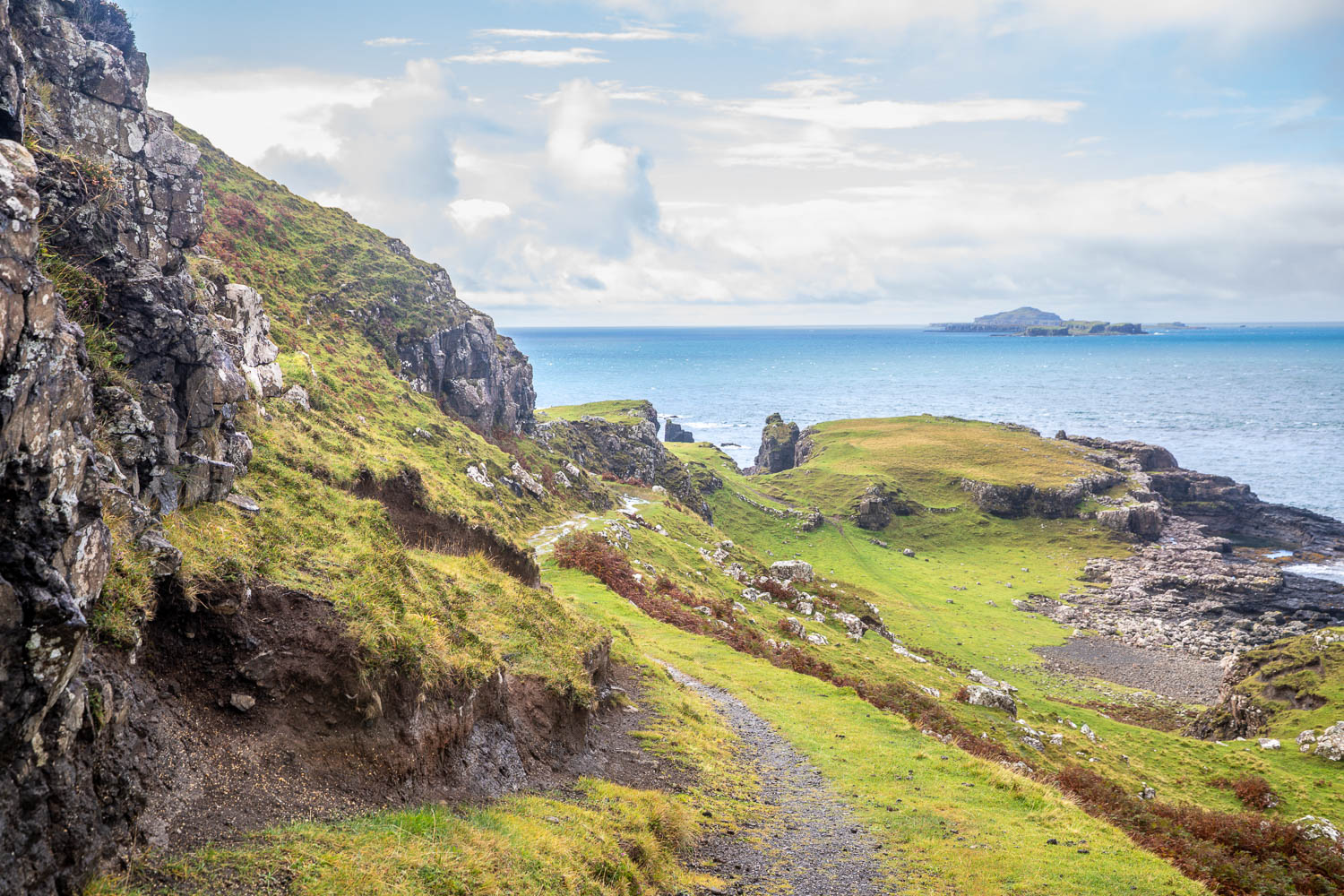
We descend to the coast
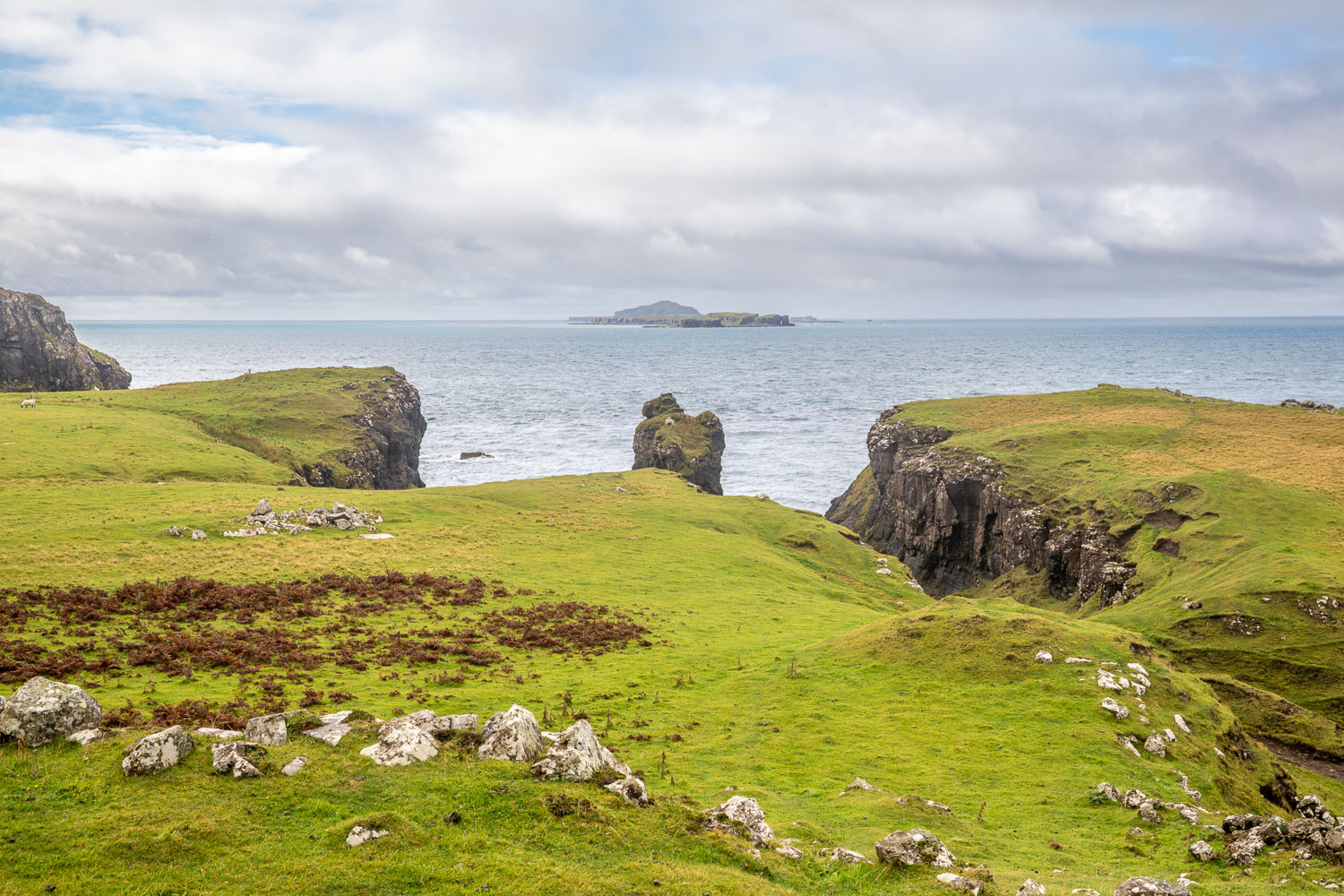
Looking out to the Treshnish Isles...
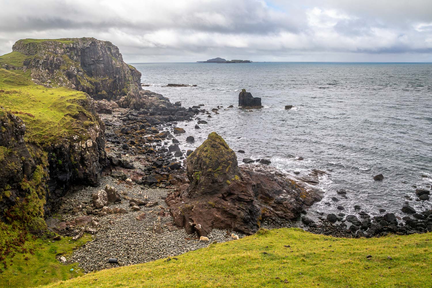
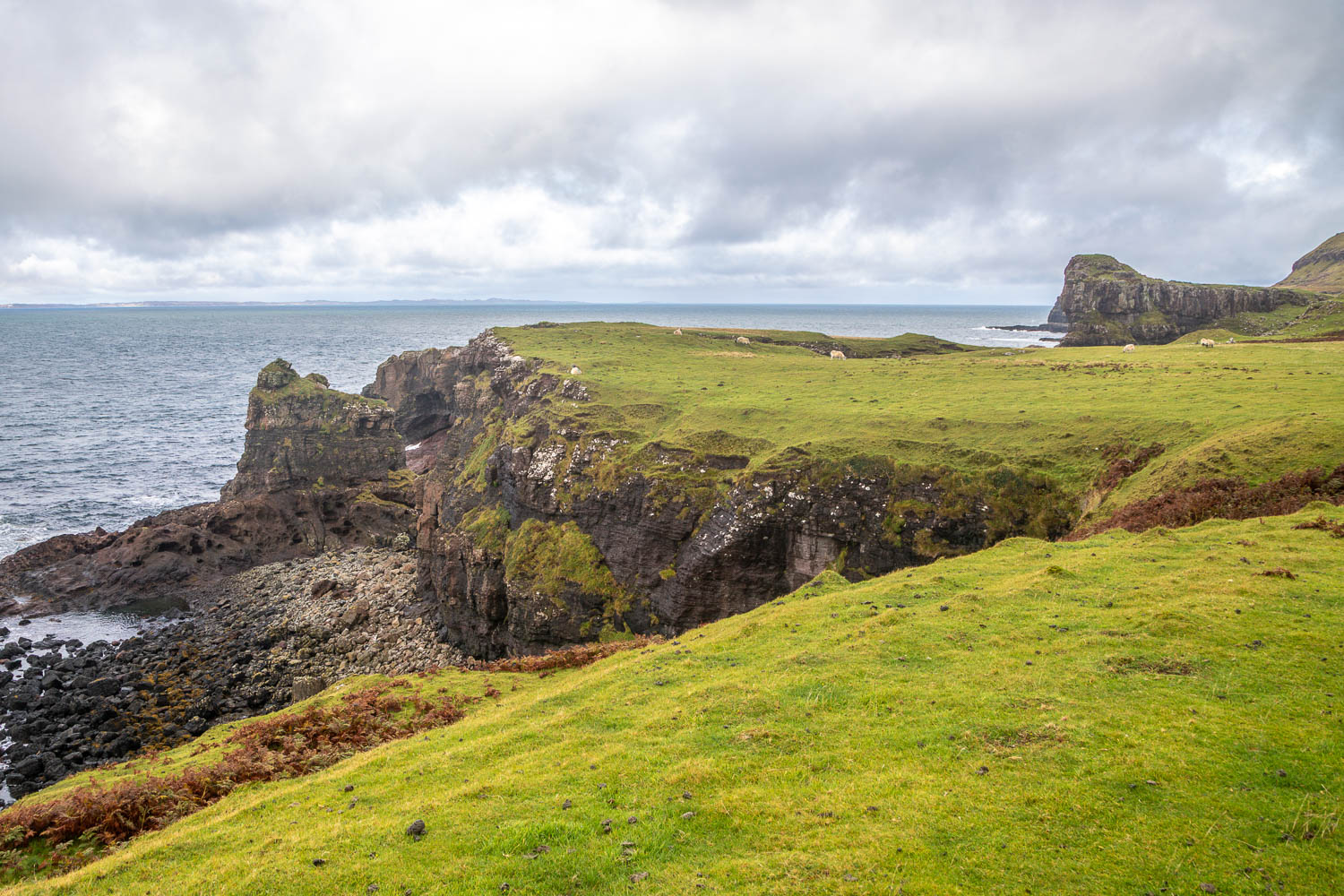
Another view back towards Treshnish Point
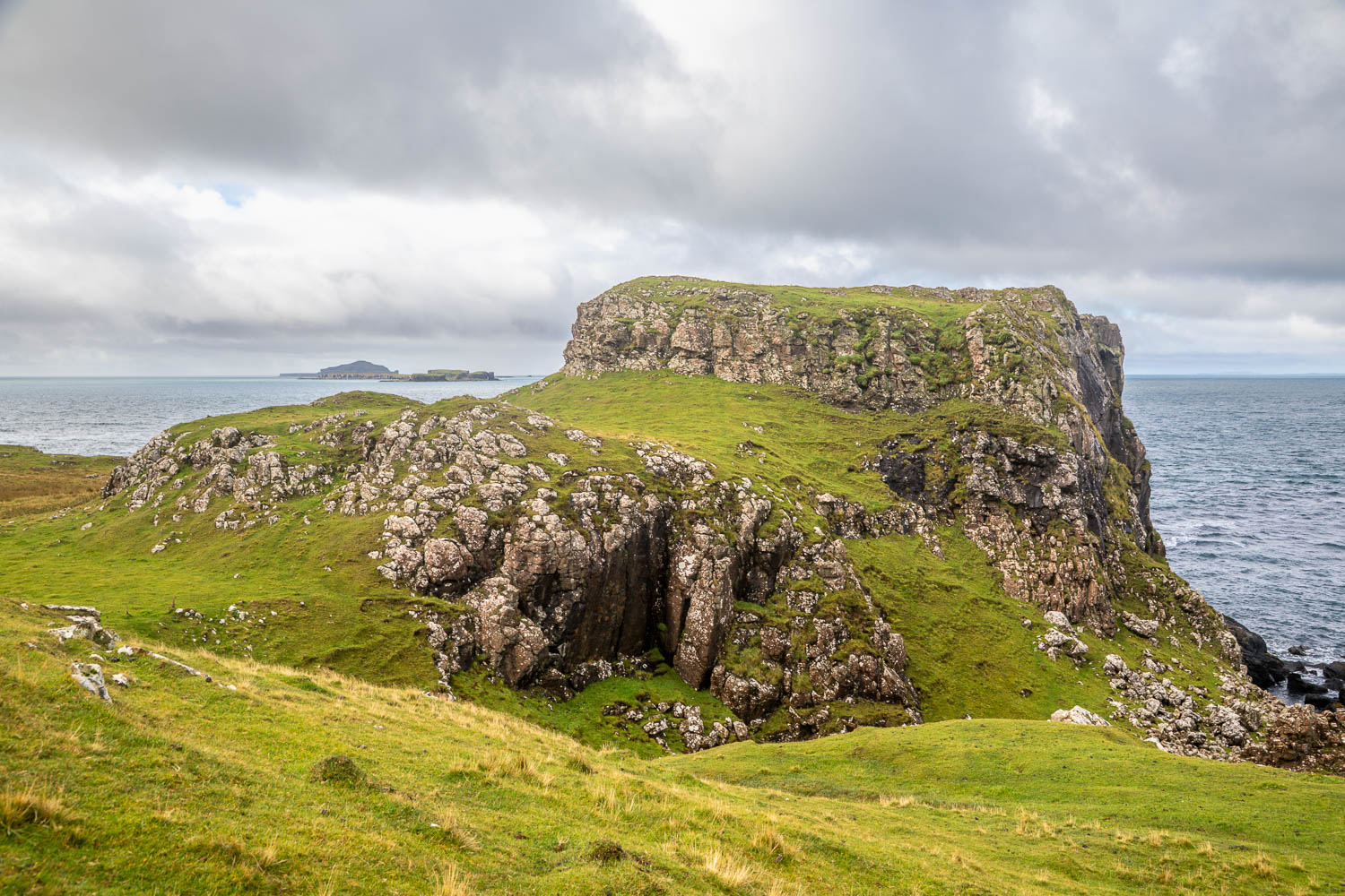
We pass by the site of an ancient fort, Dùn Ara, which served as a medieval stronghold for Clan MacKinnon from 1354 until it was abandoned in the 17th century
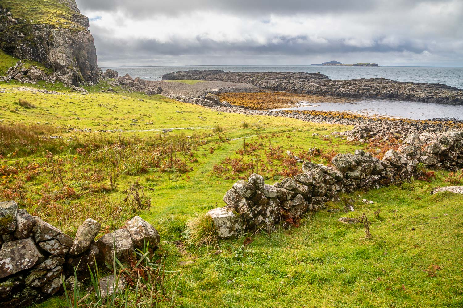
We descend to the rocky beach...
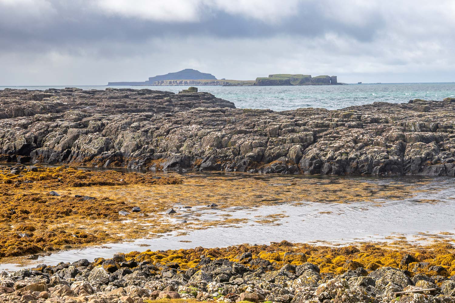
The Treshnish Isles again
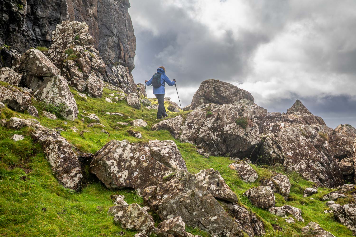
There's a choice of paths - we follow a narrow sheep track closer to the shore which isn't shown on the OS map
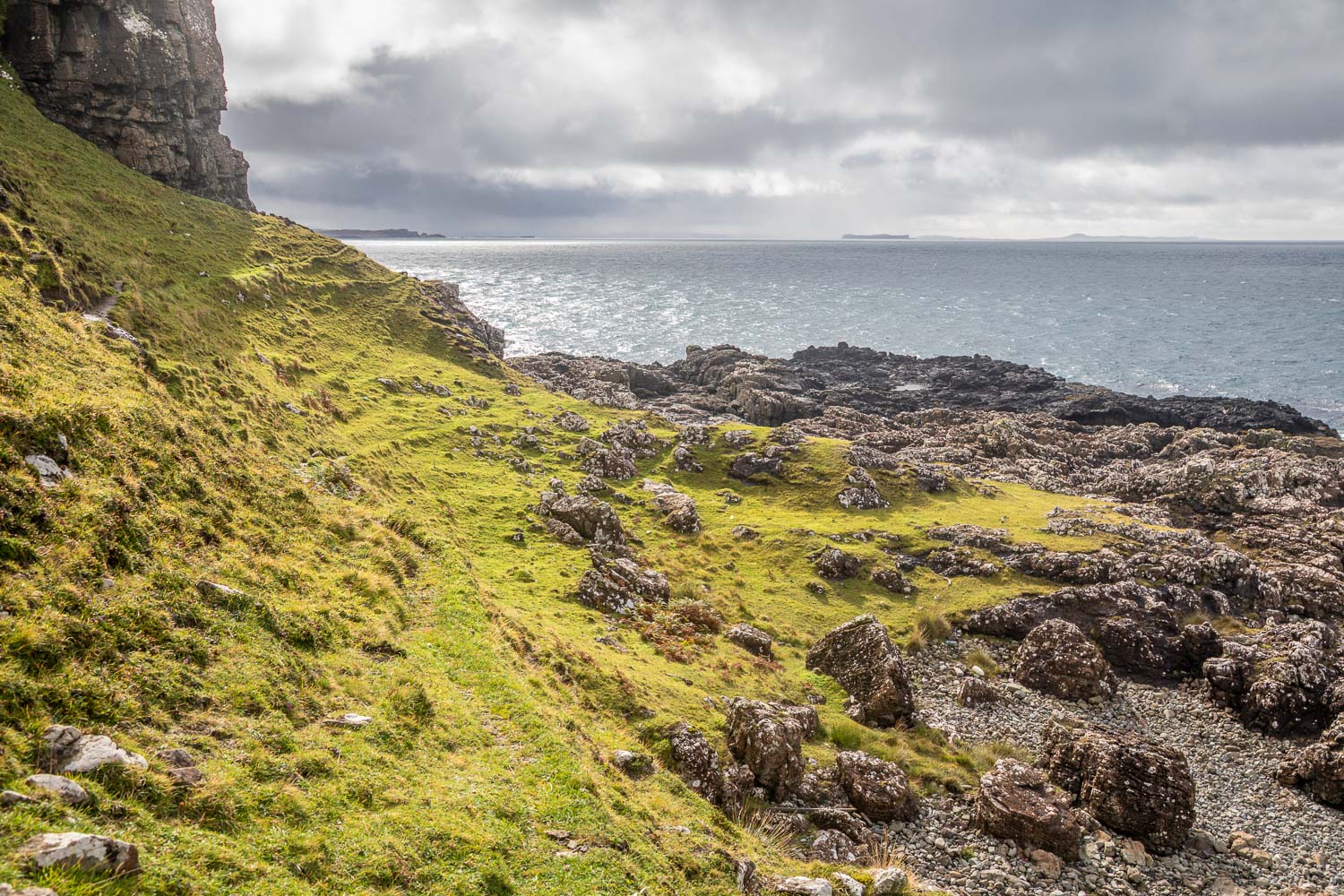
Although it's a narrow path there are no dangers
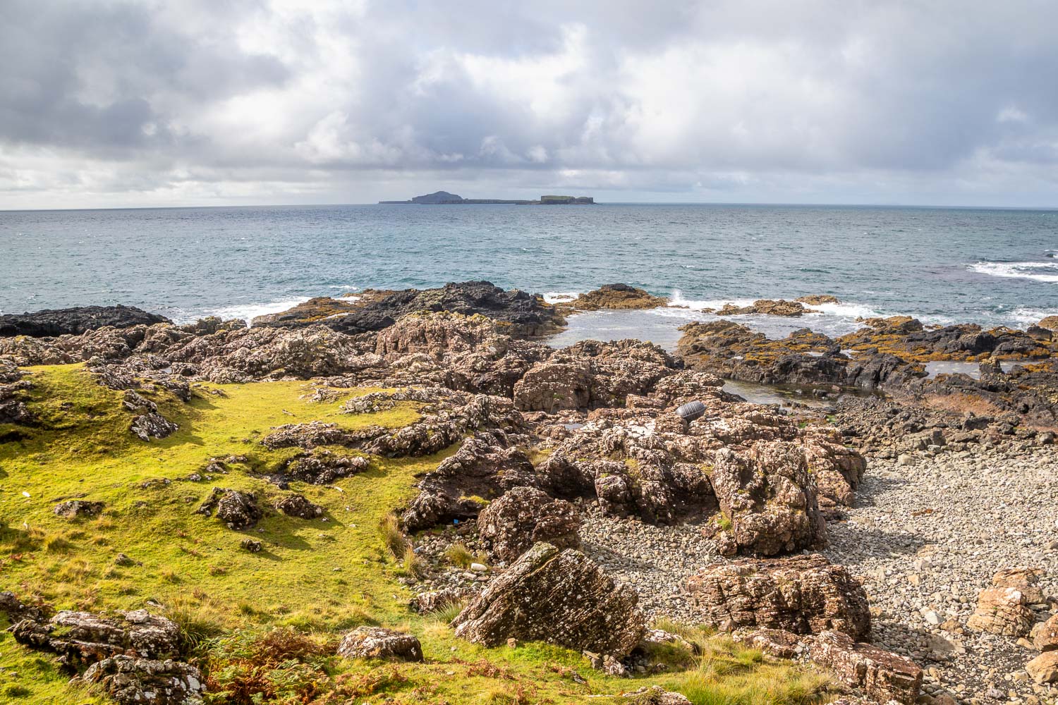
We were constantly on the lookout for otters and eagles which frequent the coast, but they eluded us again
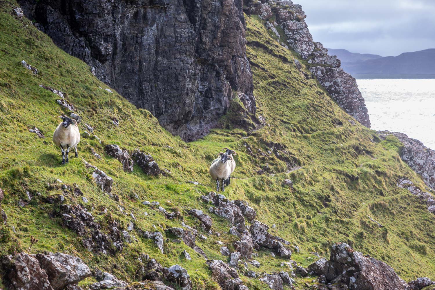
Thanks to the sheep who have created this exciting path
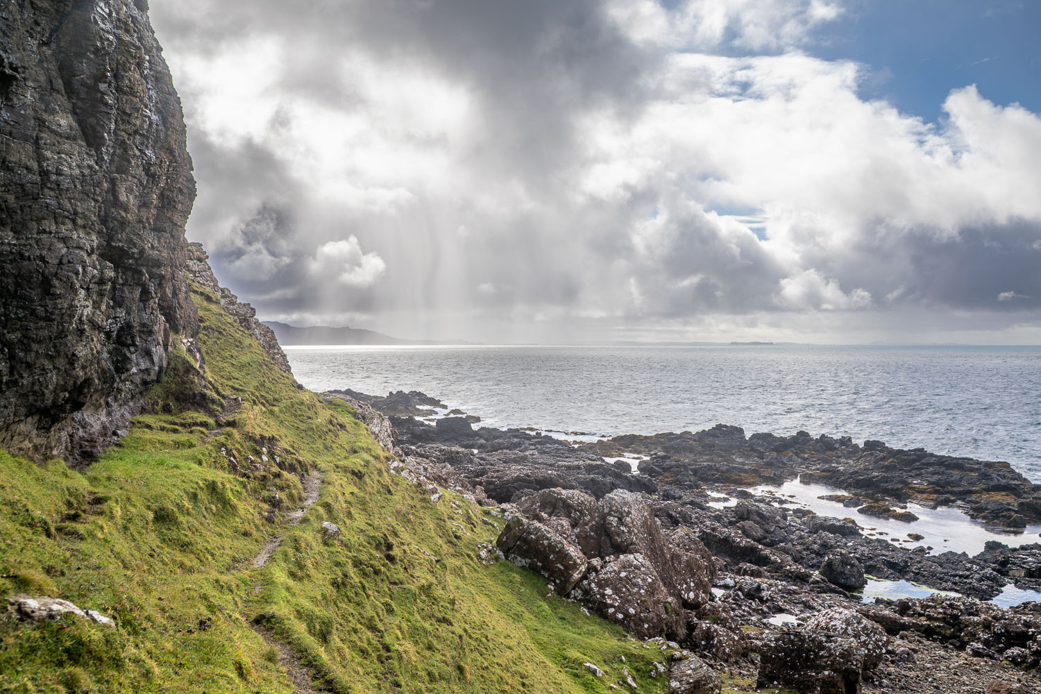
Geometra and Ulva come into view as we round a corner...
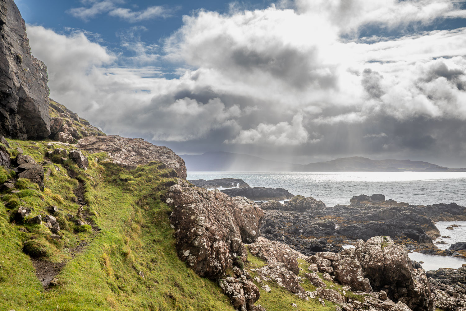
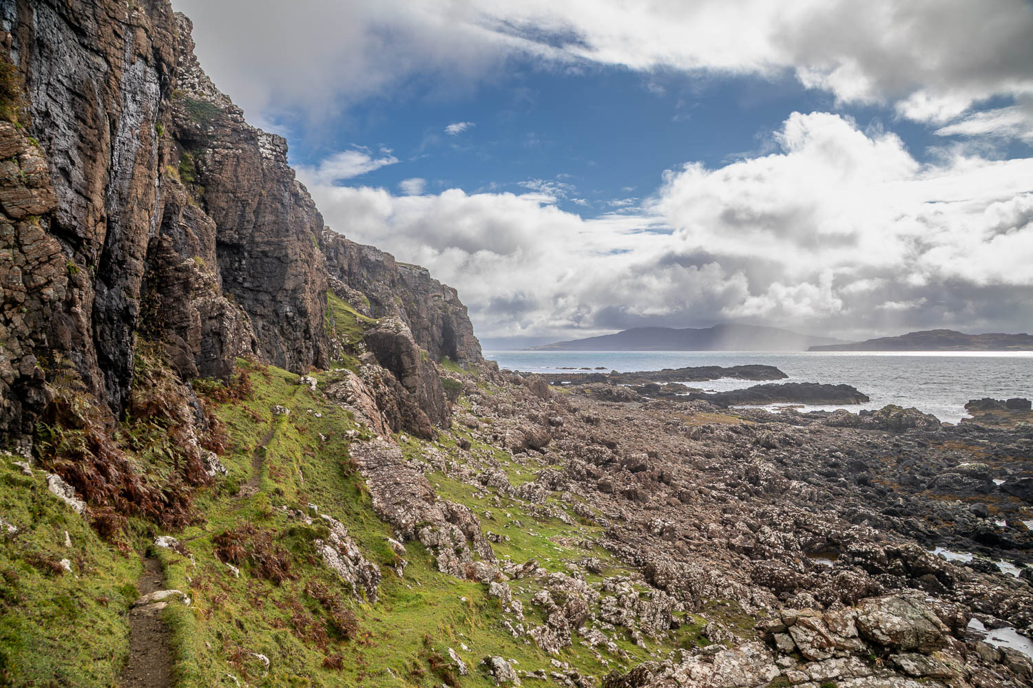
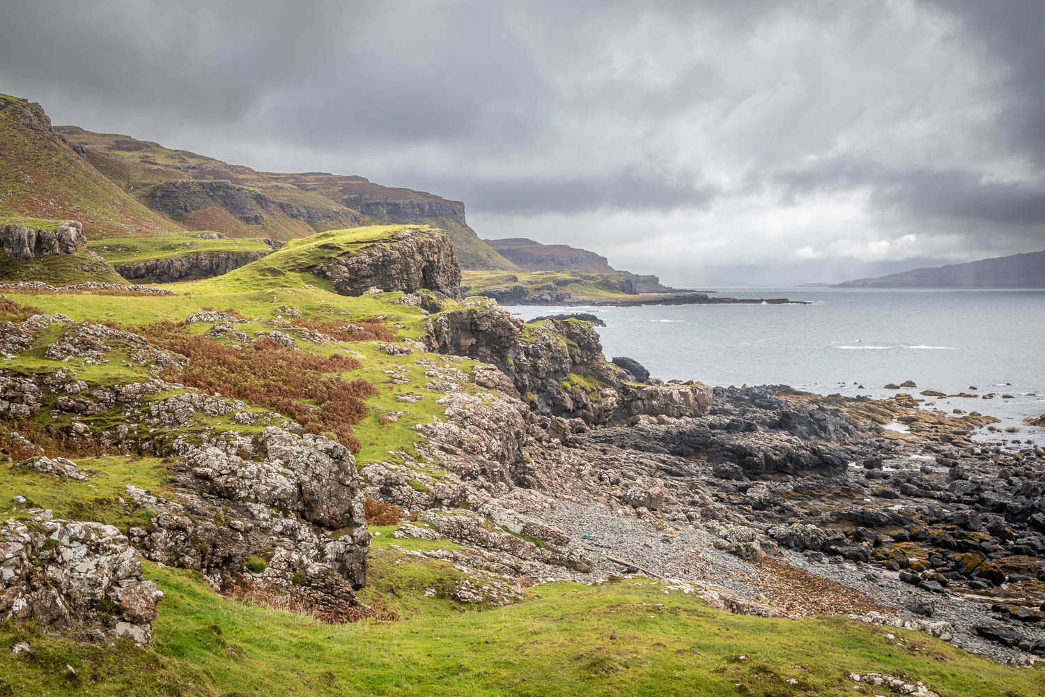
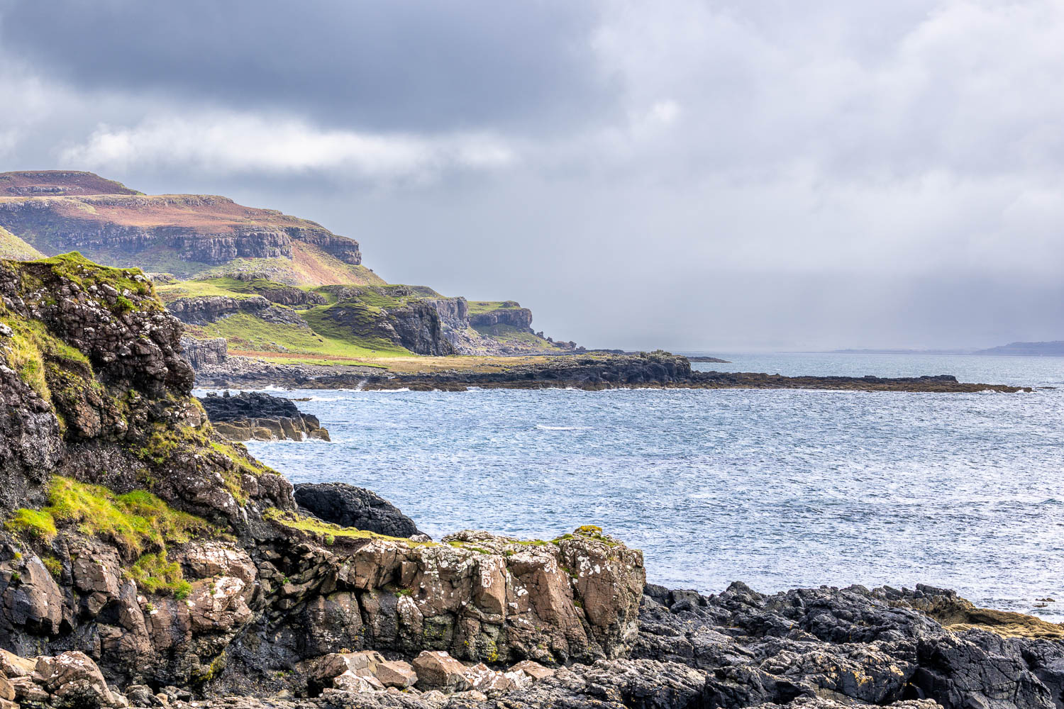
View along the rugged coastline
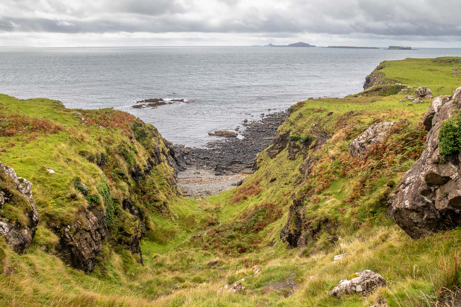
We pass by a gully, the route to the well concealed Whisky Cave where the finest moonshine on Mull was once made. A visit to the cave involves a descent and re-ascent
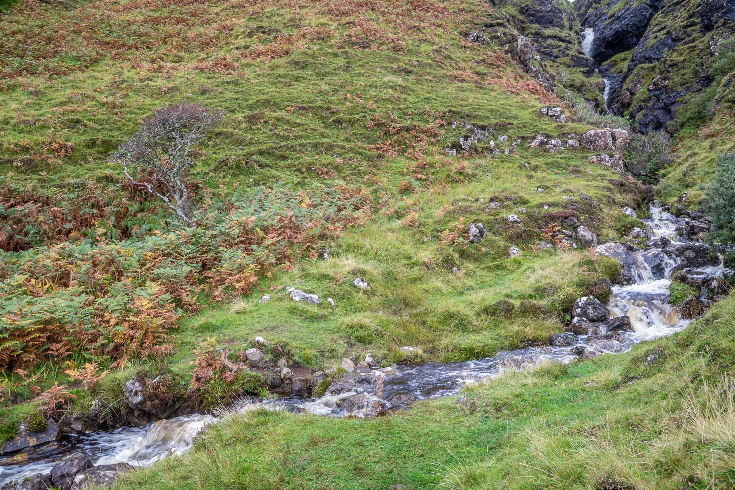
We carried on ahead and forded a burn below a waterfall
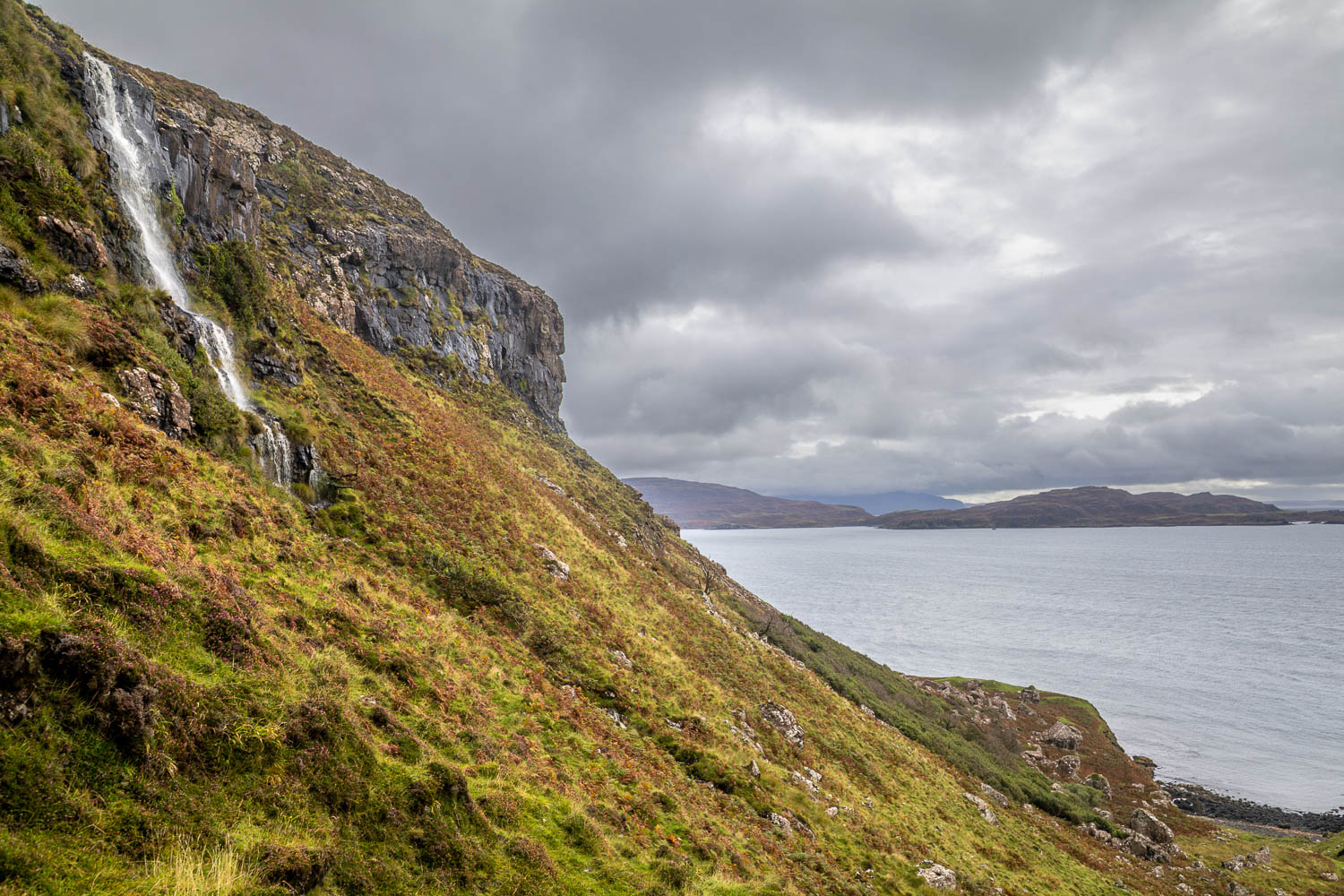
We leave the coast and head inland at a second waterfall a short distance further along
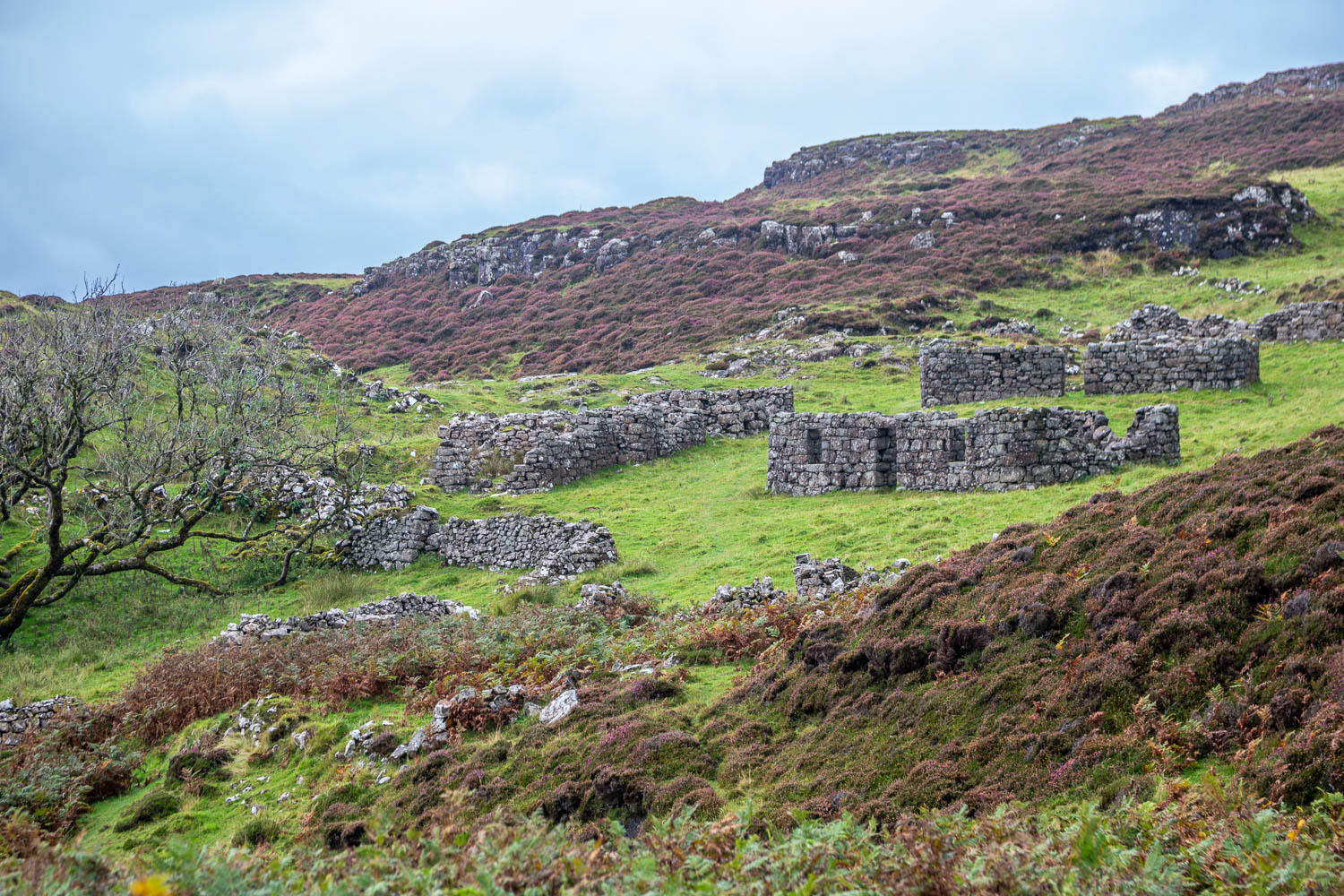
We pass by Crackaig (also spelled Crakaig), an abandoned historical crofting village and Scheduled Monument. The local population largely died out or left following a severe typhoid outbreak in the 19th century
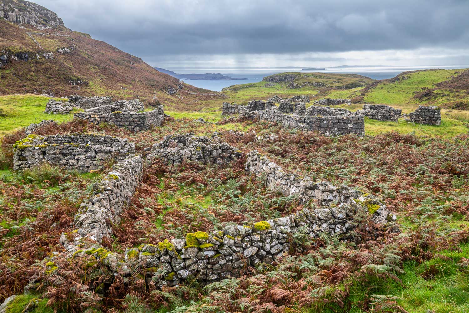
Another deserted post-medieval settlement, Glac Gugairidh, is nearby. This too is a Scheduled Monument...
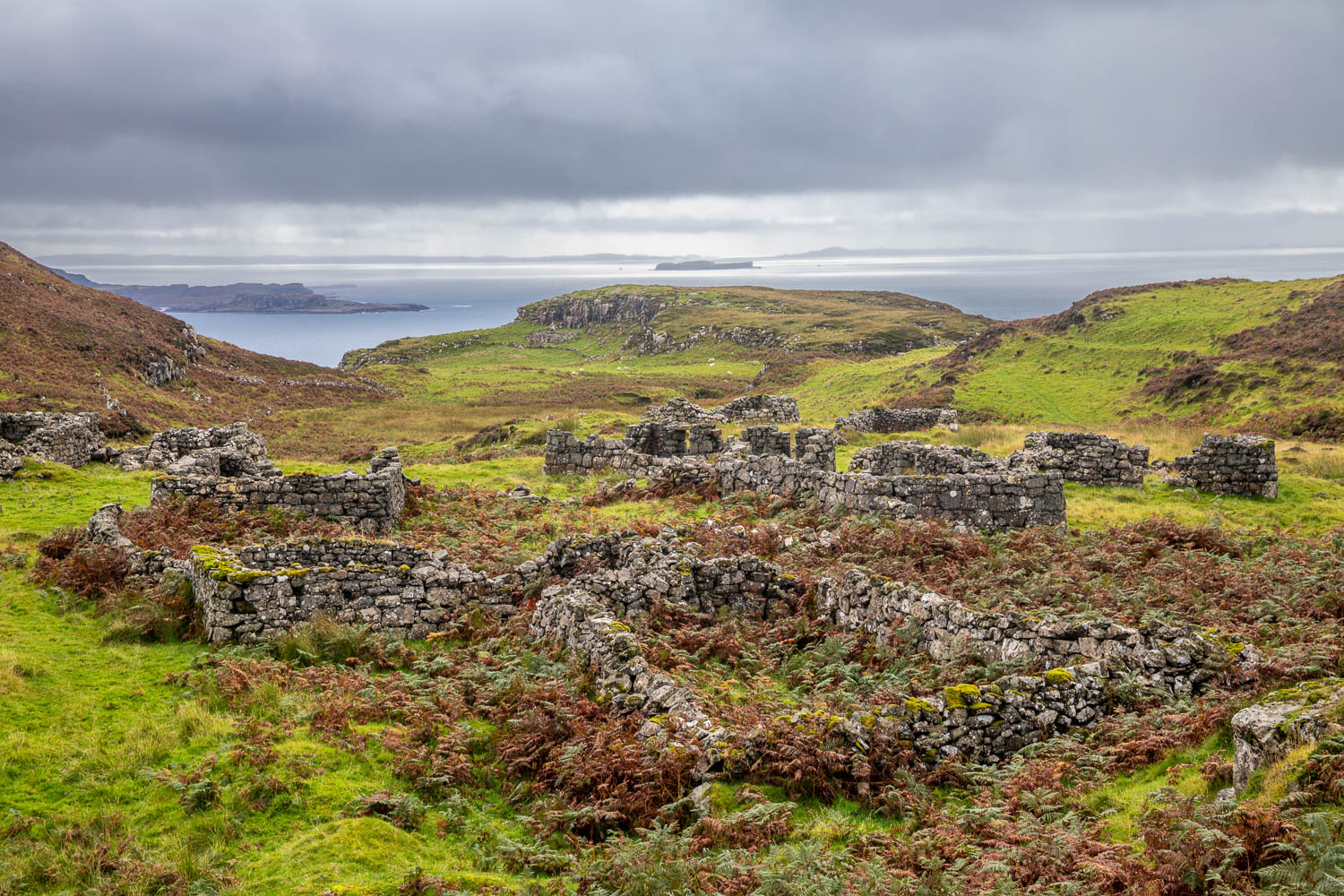
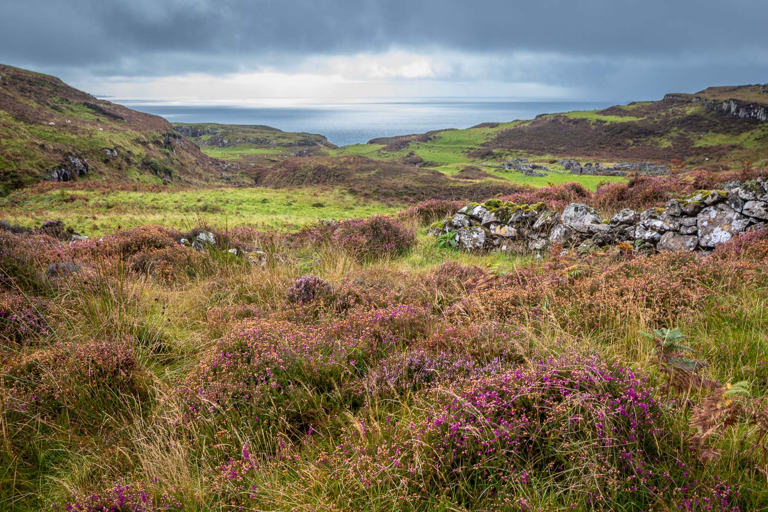
A final look back to the sea as the weather starts to close in
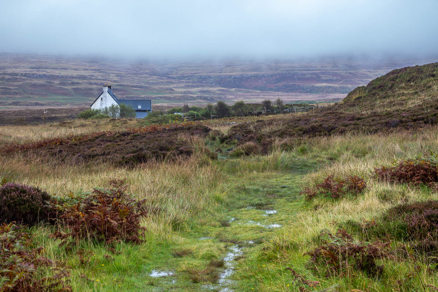
After walking across featureless moorland for a while, a sign of civilisation as we walk towards the renovated School House at Larach Mhor, which is also home to the Tin Shed Gallery
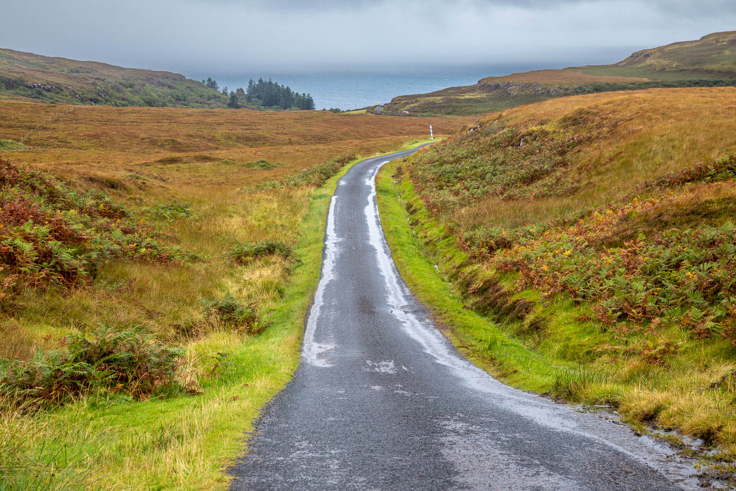
We arrive back on the single track B8073. Torrential rain set in at this point and the last mile or so was rather a trudge, especially in comparison with the delights we enjoyed during the rest of the walk