Route: Quy Water
Area: Cambridgeshire
Date of walk: 10th November 2026
Walkers: Andrew and Gilly
Distance: 4.5 miles
Ascent: nil
Weather: Weak sun
Our journey to Cambridgeshire was accompanied by thick fog, but by a stroke of good fortune it began to lift just as we drove into the village of Lode, the starting place for today’s walk. We parked in the National Trust car park by the entrance to Anglesey Abbey, which we’d visit later. We followed a path to the east of the abbey grounds and then through a field which brought us to Lode Mill. Bottisham Lode is the stretch of water below the mill, one of a number of lodes that were used as a transport link to the River Cam. The water above the mill is Quy Water, whose course we’d follow during the final stage of the walk. The mill is thought to have been built in the 18th century, although it’s believed that a watermill stood on the site at the time of the Domesday survey in 1086. The interior of the mill can be visited from the grounds of Anglesey Abbey
We then crossed the bridge by the side of the mill, turned left and followed the path alongside Quy Water towards Stow-cum-Quy. A delightful tree lined grassy bridle way, part of the long distance Harcamlow Way, took us across the fields to Quy Fen. The fen is a designated Site of Special Scientific Interest (SSSI) and is managed by Quy Fen Trust on behalf of local parishes. We followed a path by the edge of the fen, making a short detour near the end to visit a memorial stone commemorating William Ison who was struck by lightning in this spot
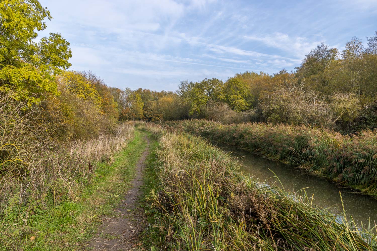
Beyond Quy Fen we followed a track known as The Drove Way, which led to the far point of the walk at the edge of Stow cum Quy. We joined a path beside Quy Water, a medieval watercourse which runs into Bottisham Lode. The lovely path hugged the edge of the stream and along the way we had sightings of heron, egret, oystercatcher and deer. All too soon we arrived back at Lode Mill and from here we retraced our steps back to the National Trust car park. This wasn’t the end of the outing though, as we still had time to visit Anglesey Abbey, follow the link for our next walk
Click on the icon below for the route map (subscribers to OS Maps can view detailed maps of the route, visualise it in aerial 3D, and download the GPX file. Non-subscribers will see a base map)

Scroll down – or click on any photo to view as a slideshow
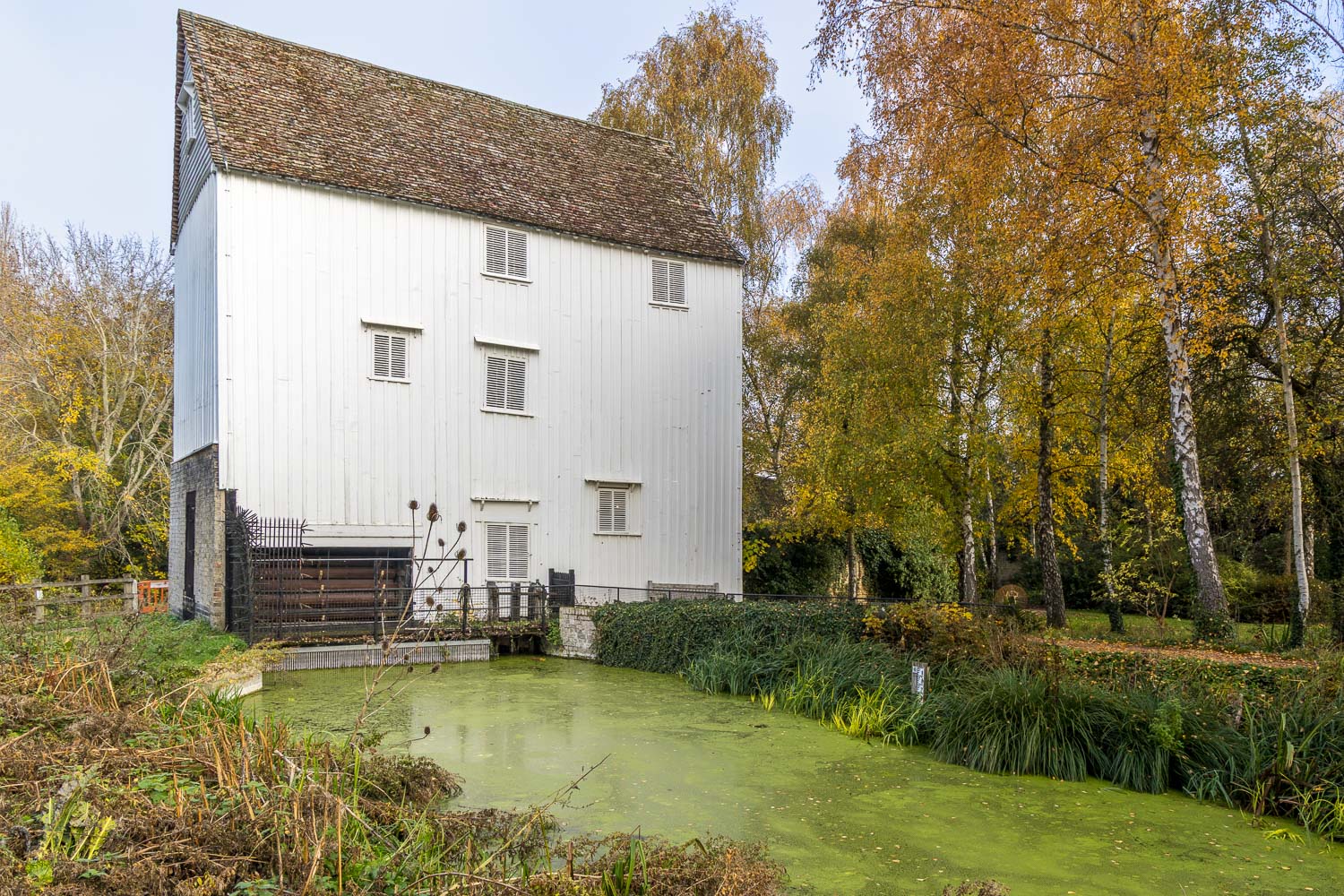
Having left the National Trust car park at Anglesey Abbey, we arrive at Lode Mill
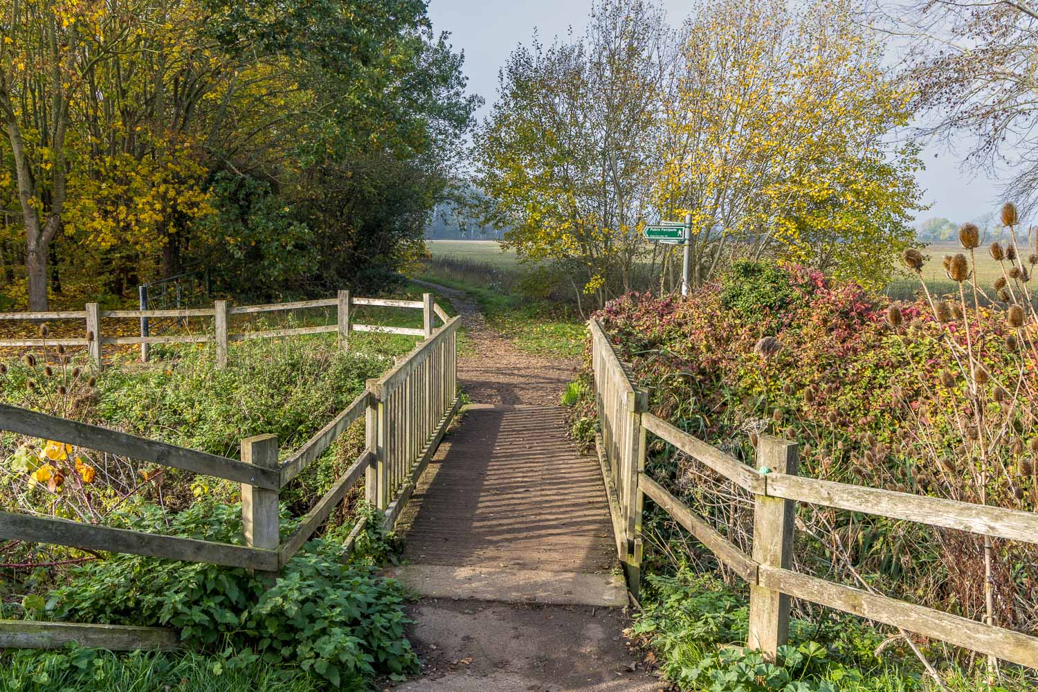
We cross this small bridge by Lode Mill and turn right
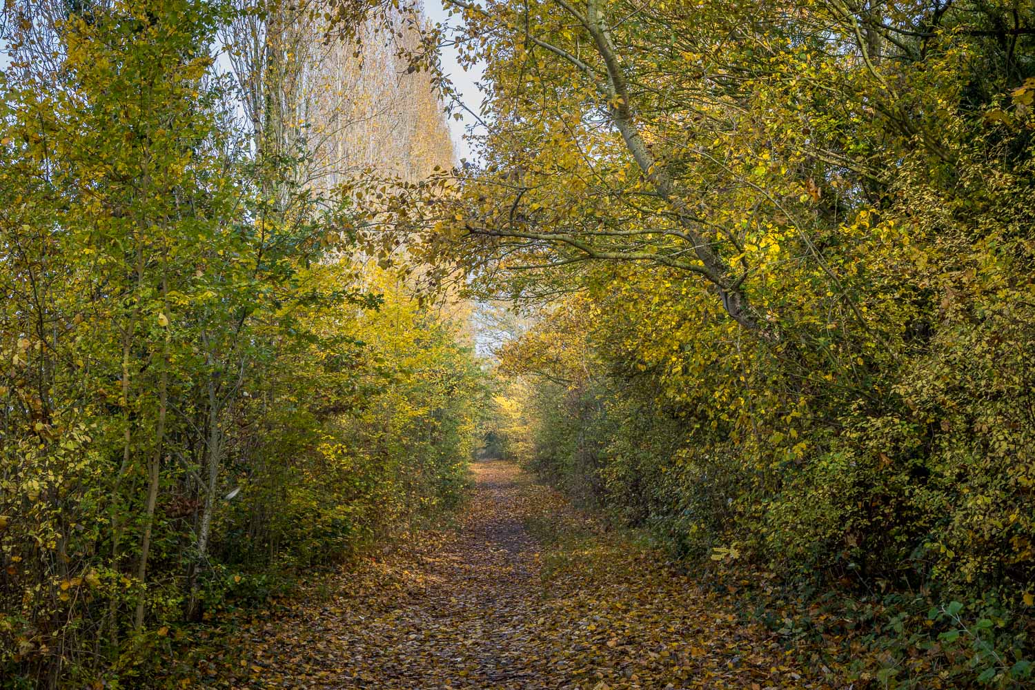
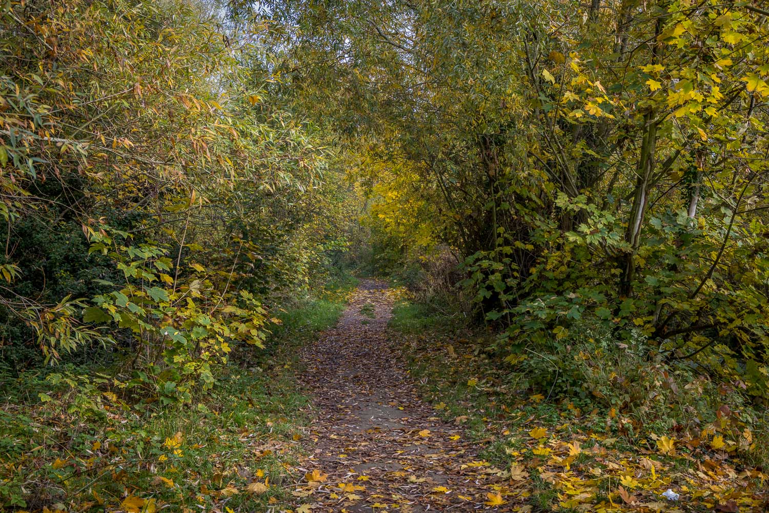
We follow a tree lined track with the edge of Lode village on our right
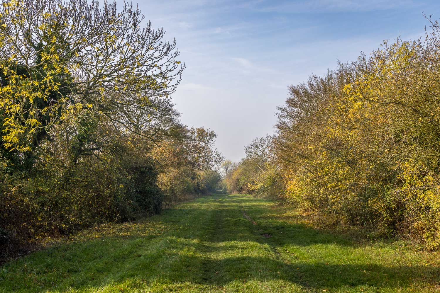
A lovely section along a bridleway, where numerous fieldfare and redwing were foraging for berries
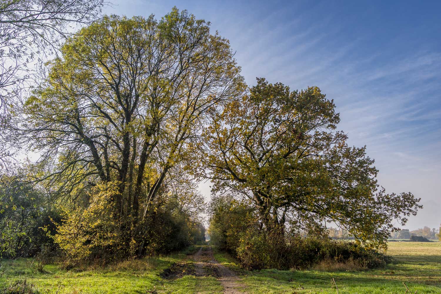
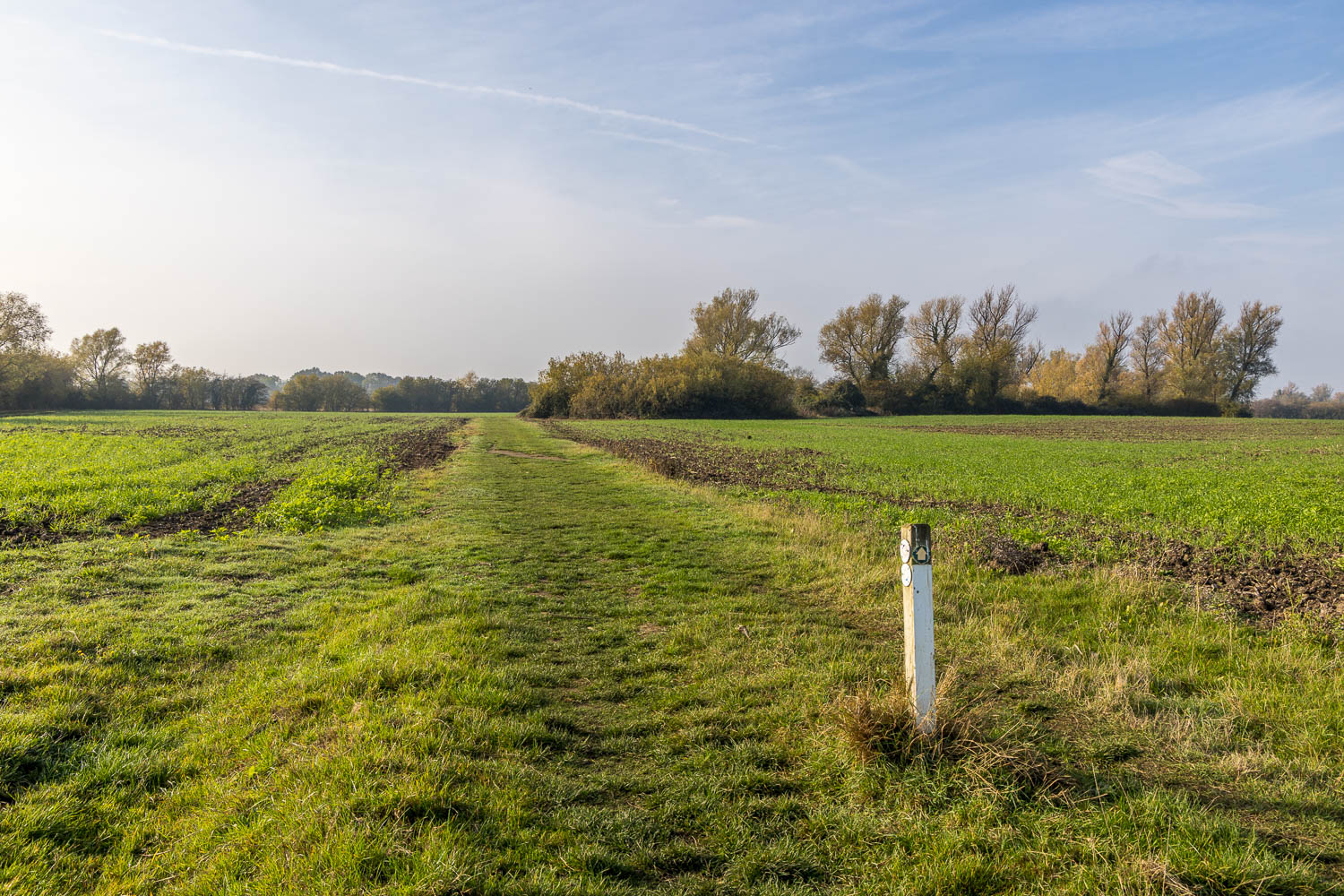
We head towards Quy Fen
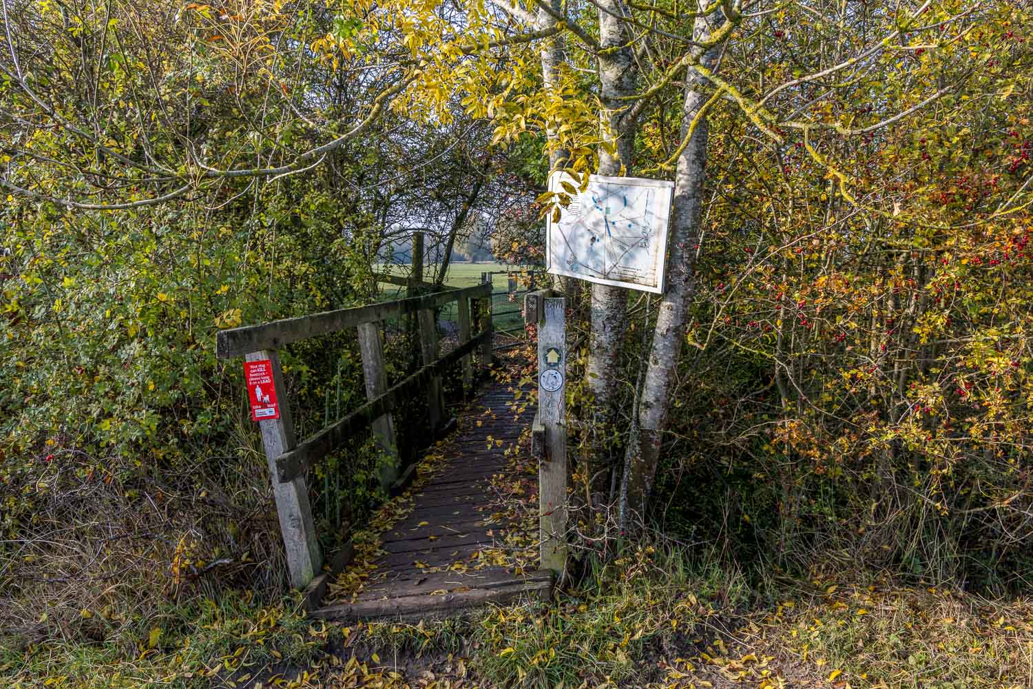
We enter into Quy Fen
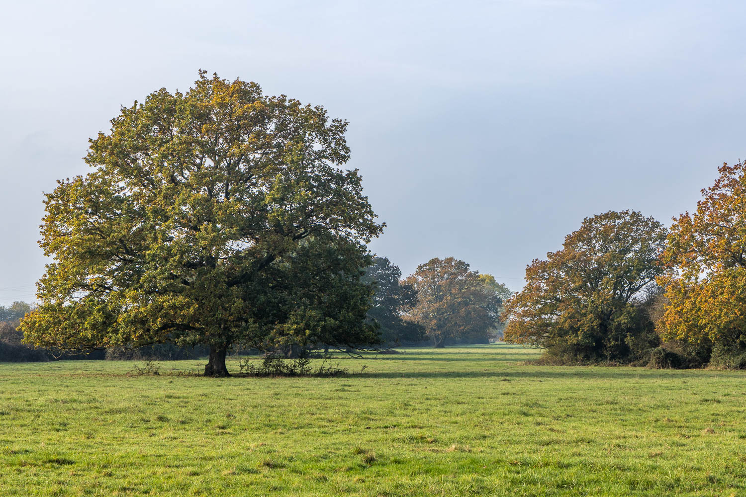
Looking across Quy Fen
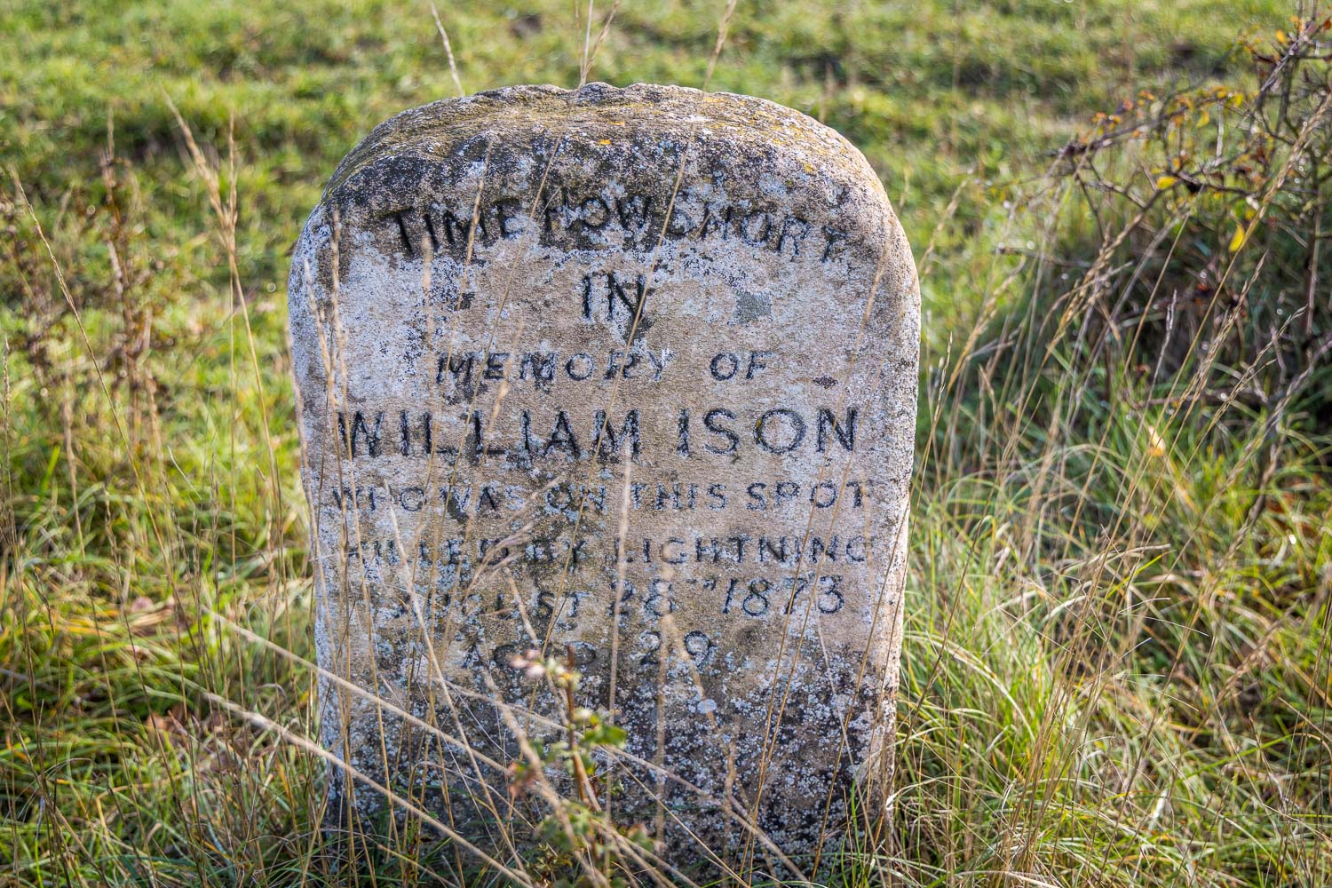
We make a short detour to a memorial stone (not shown on the route map, but it does appear on the OS map). It reads ‘Time how short. In memory of William Ison who was on this spot killed by lightning 28th August 1873 aged 29’.
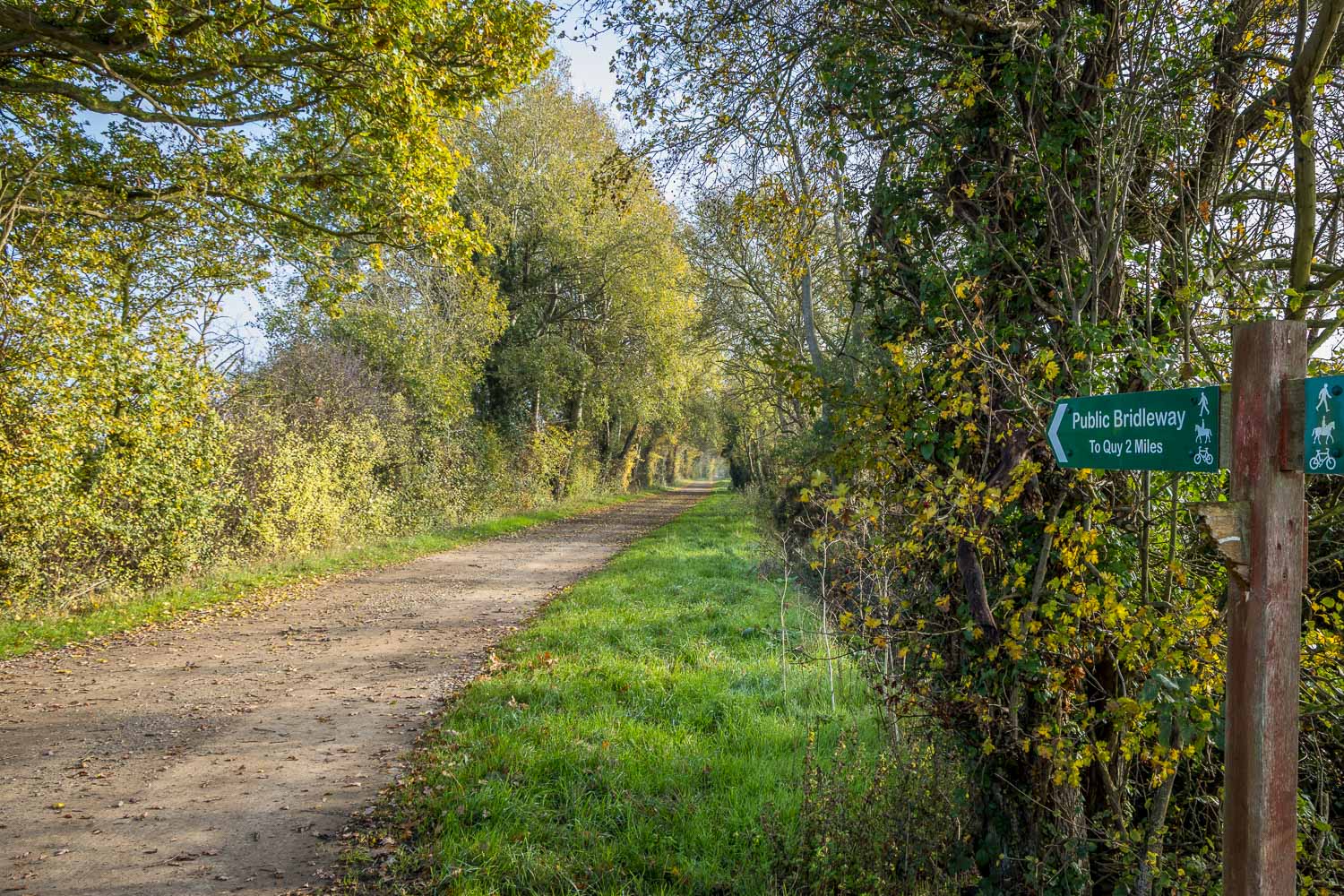
We follow the bridleway towards Quy...
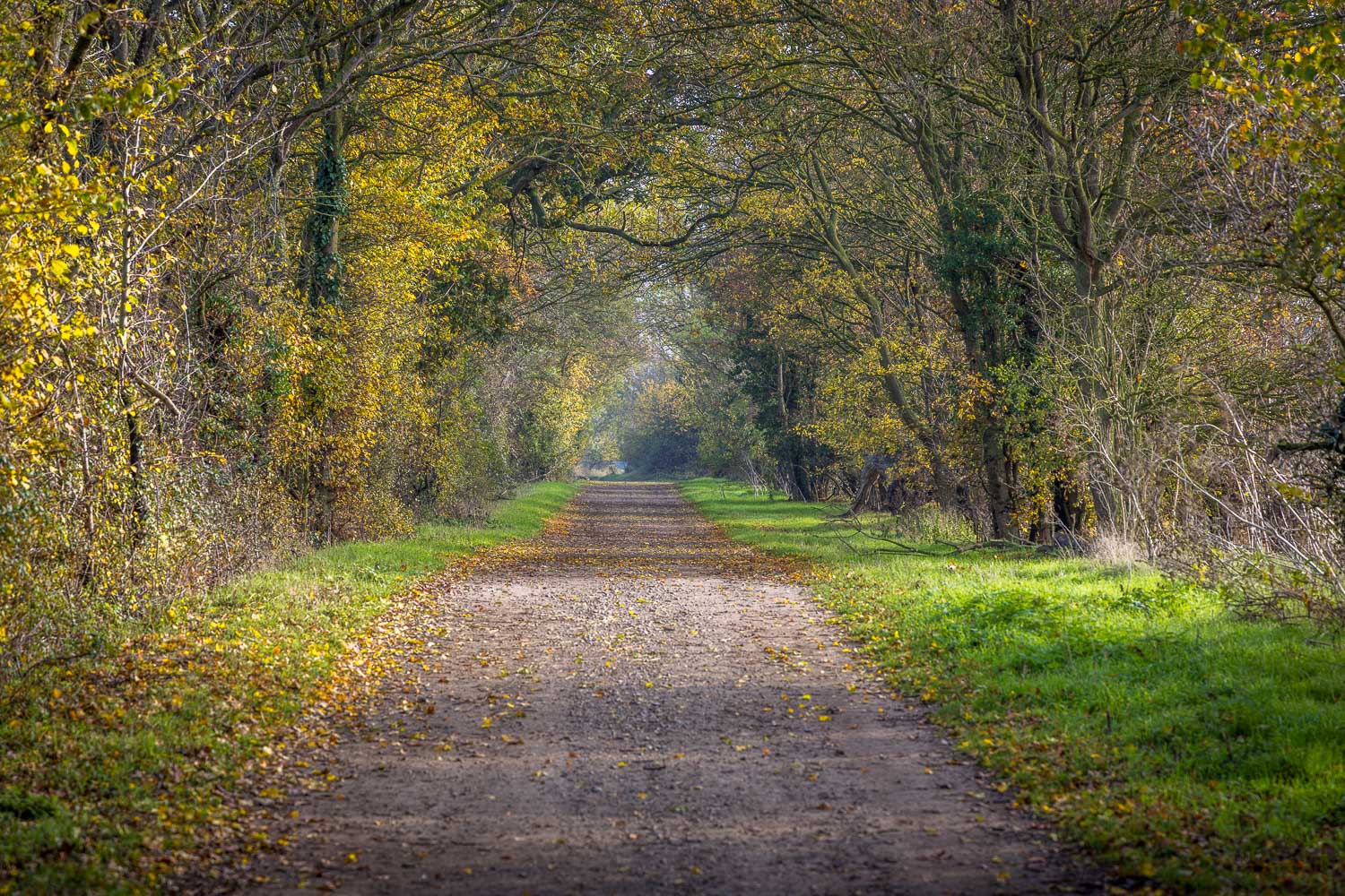
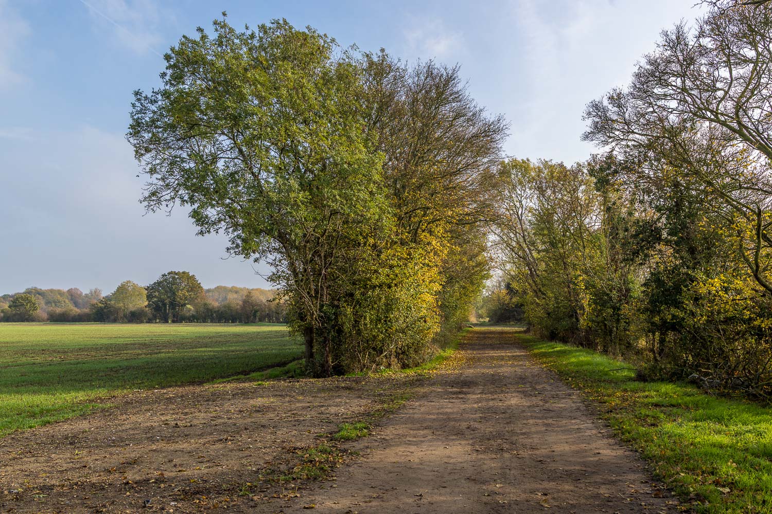
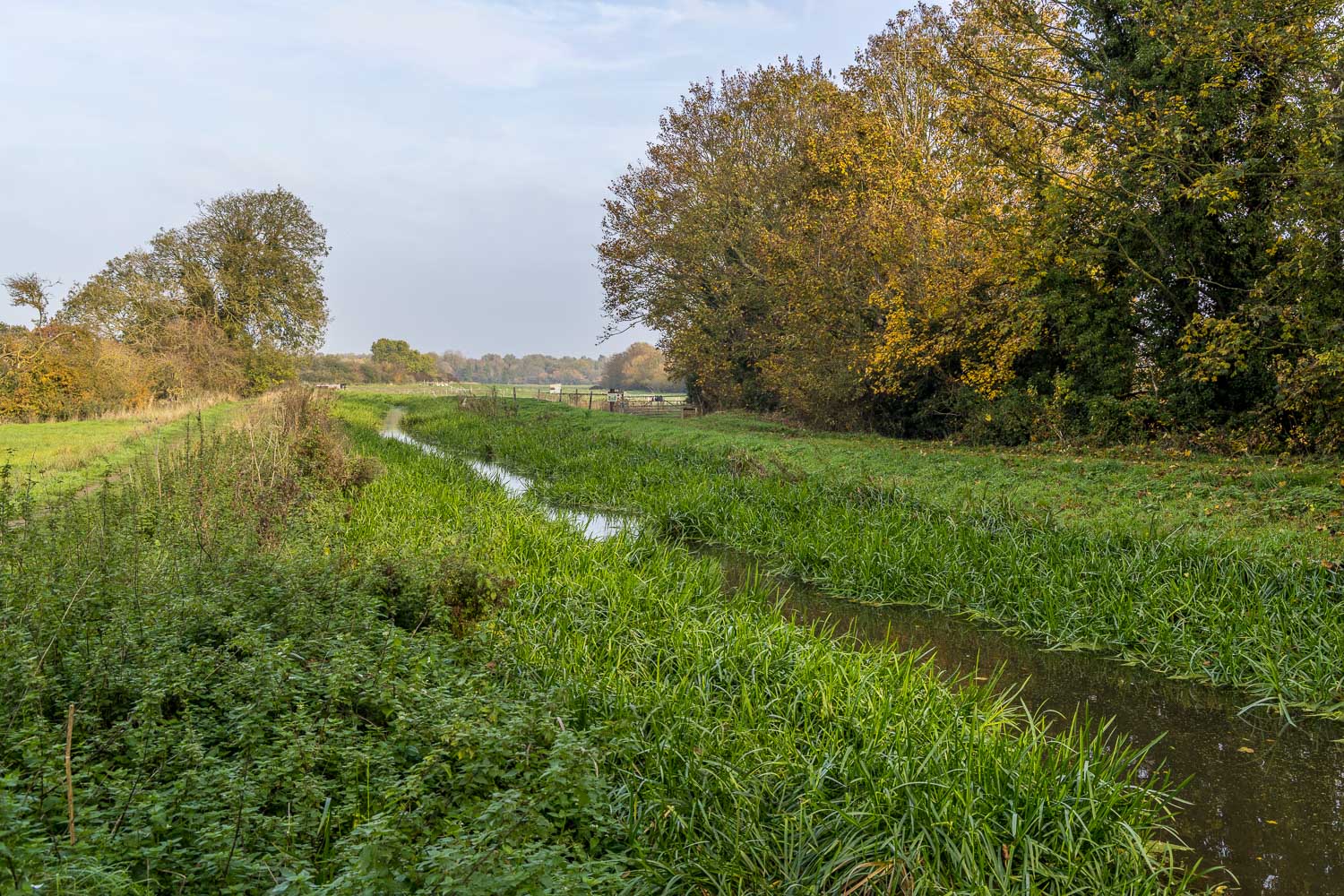
At the edge of Stow cum Quy we arrive at Quy Water, whose course will guide us back to the start
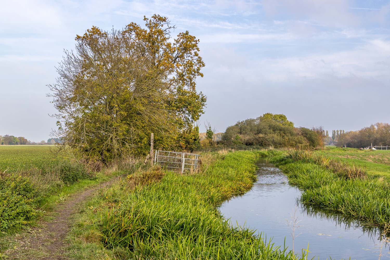
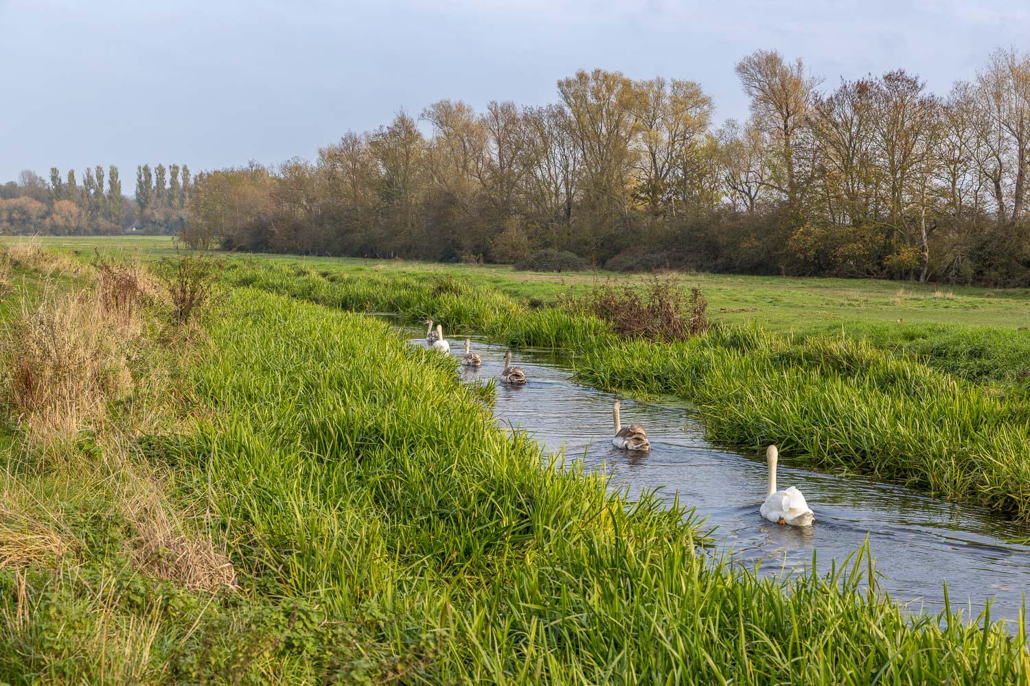
A family of swans paddle beside us for a while
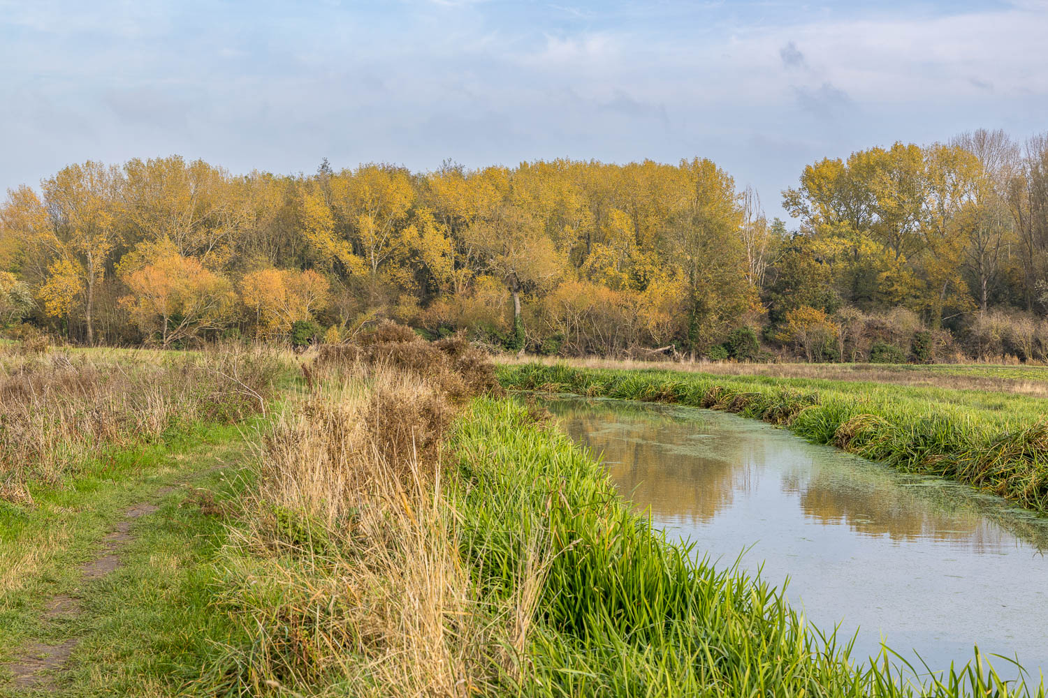
We approach a wooded area beyond which lies Anglesey Abbey
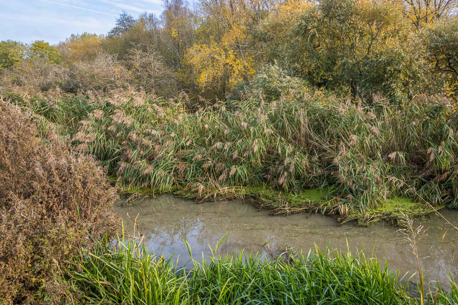
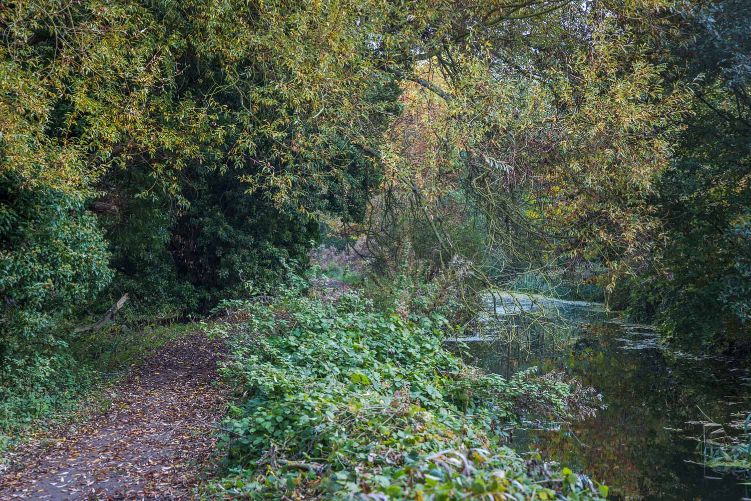
An atmospheric section, where Quy Water runs through lush vegetation...
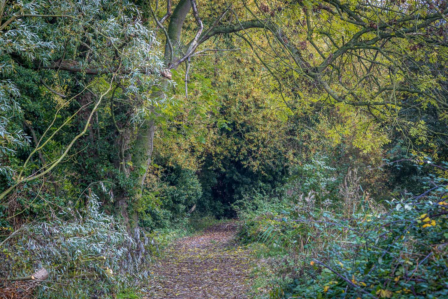
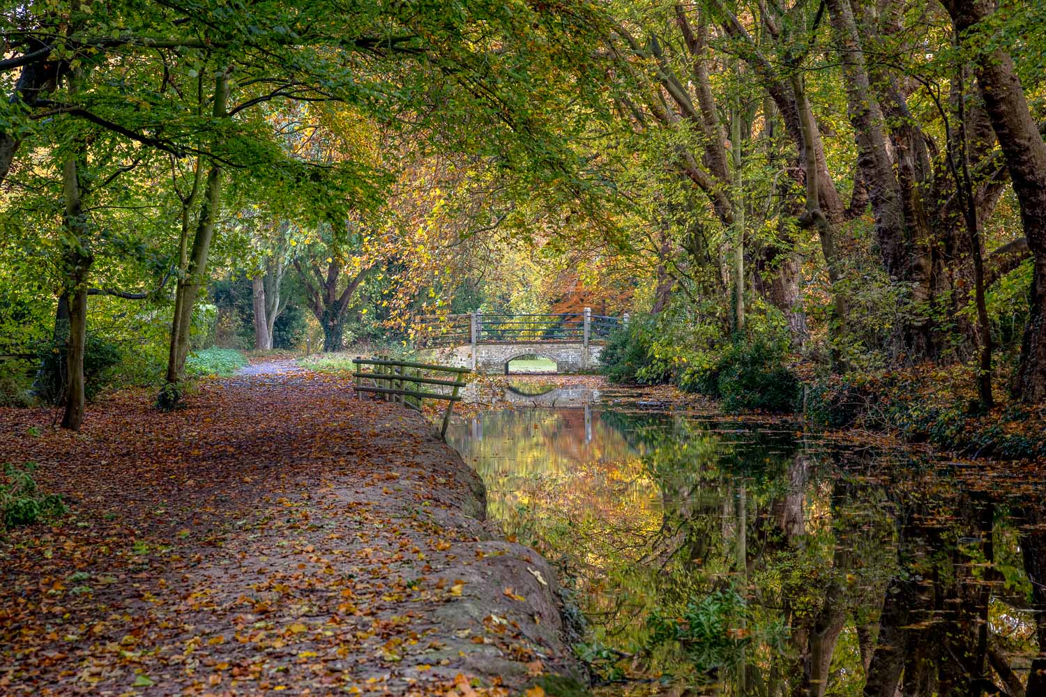
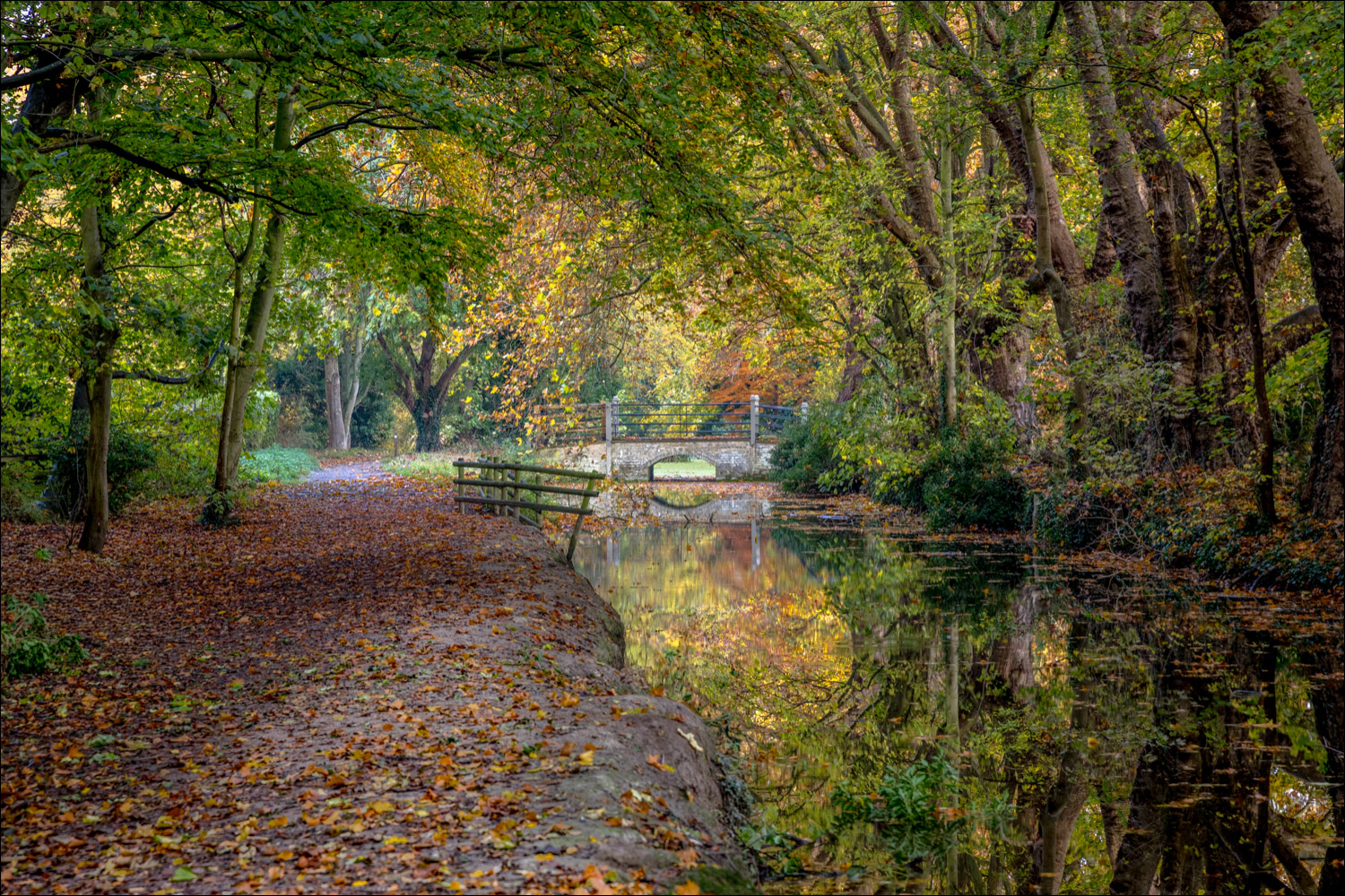
We pass by a bridge (not open to the public), which leads into Anglesey Abbey...
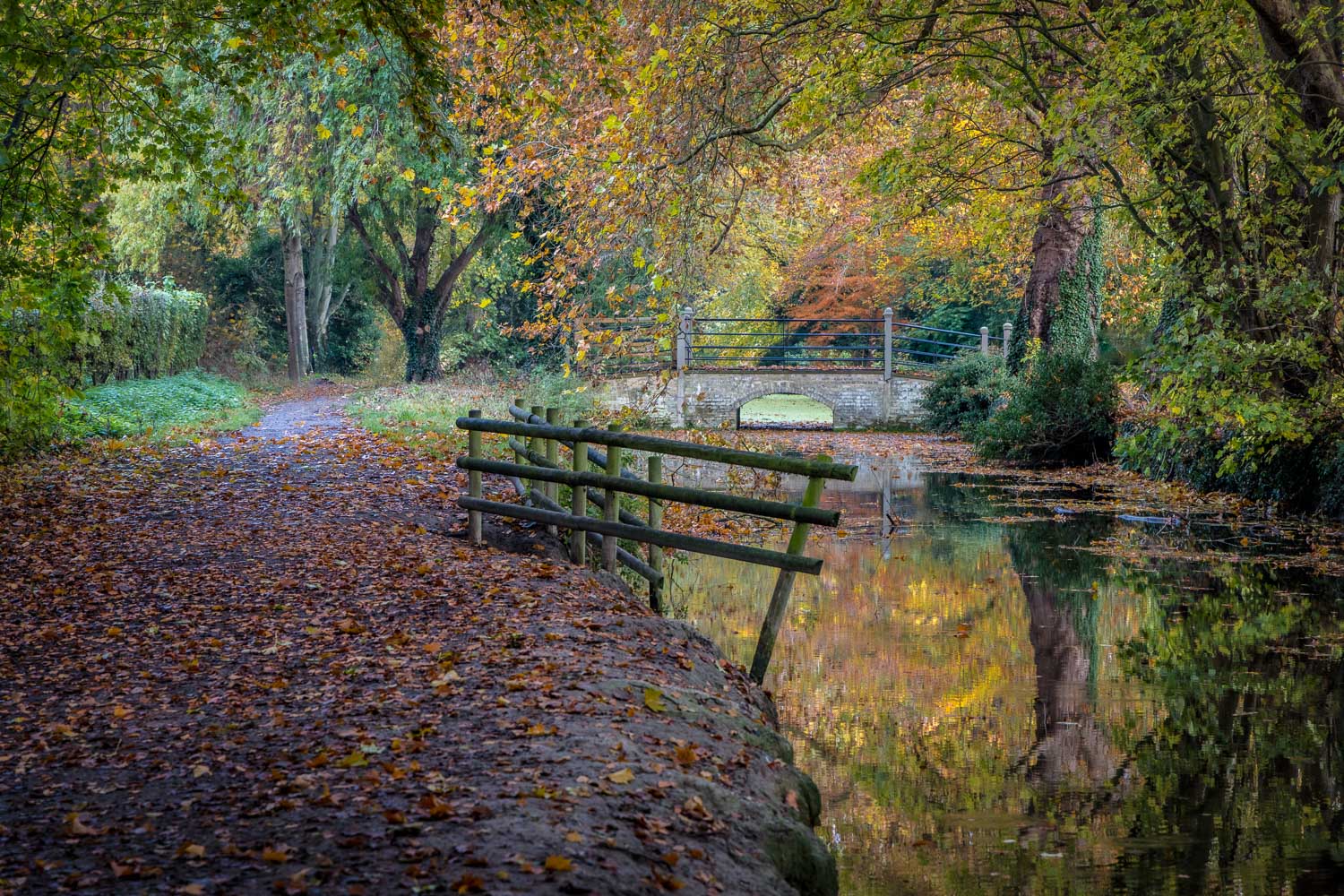
stream, bridge, autumn
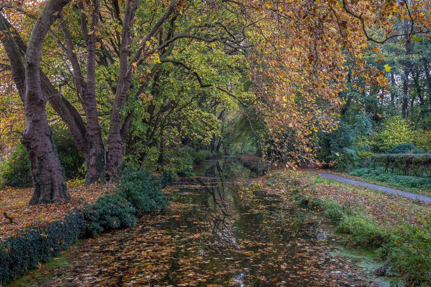
Looking back along Quy Water
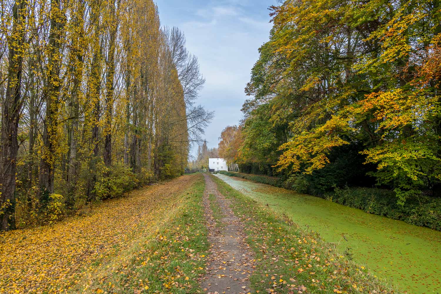
Lode Mill comes into view
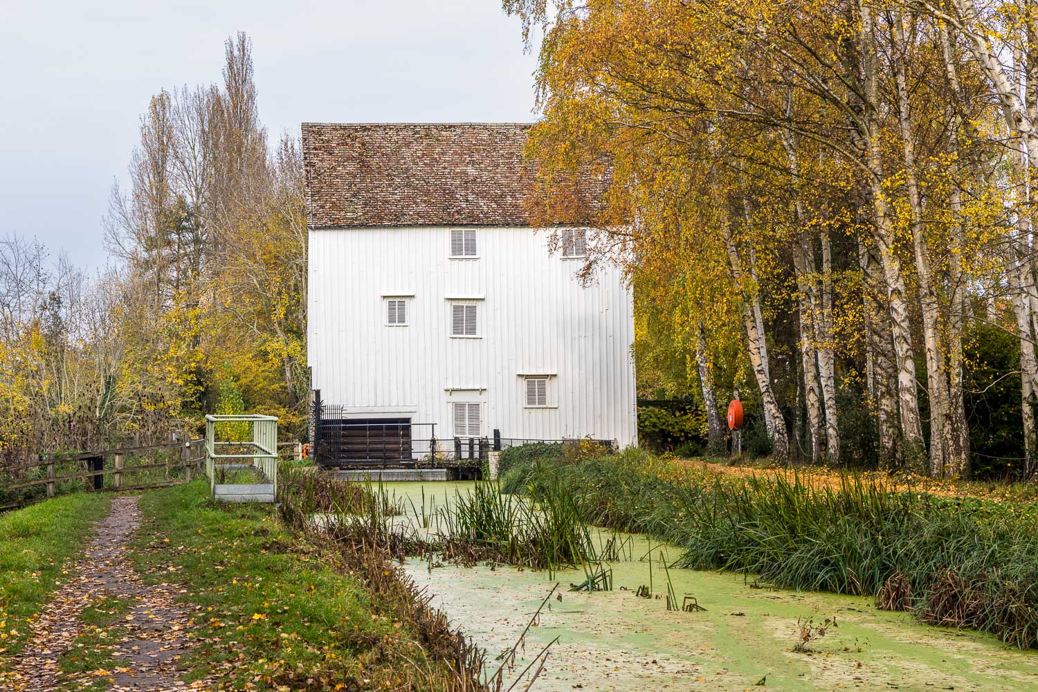
We arrive back at Lode Mill and retrace our steps back to the car park, from where we will enter into the grounds of Anglesey Abbey - see my next walk