
Route: Lanthwaite Hill
Area: Western Lake District
Date of walk: 16th February 2019
Walkers: Andrew and Gilly
Distance: 2.1 miles
Ascent: 400 feet
Weather: Cloudy with sunny patches, blowing a gale on the top
Lanthwaite Hill, shown on the OS map as Brackenthwaite Hows, is one of my favourite places in the Lake District. This walk has featured on my site many times, but I take the view that no two walks are ever the same – changing seasons and variations in the light and weather make for an infinite number of possibilities – and there’s always something new to be seen
We parked as usual in the National Trust car park at Scale Hill. Instead of taking the obvious track ahead, which leads directly to the north shore of Crummock Water, we turned left up a steepish path through Lanthwaite Wood. At a junction we turned left again to continue uphill, climbing a steep rocky staircase along the way
After leaving the woods via a deer gate we were soon at the top of the hill, admiring the superb views over Lorton Vale, Loweswater and Crummock Water. The light was good and, despite a gale force wind doing its best to blow us off our feet, we lingered here for a while as the clouds scudded across the sky, watching patches of sunshine illuminate the surrounding fells
We then followed the easy path back down into Lanthwaite Wood, following a path which hugs the edge of the woods, giving good views across to Lanthwaite Green
The path descends to the eastern shore of Crummock Water, and when we arrived at the lakeshore we followed the path to the foot of the lake, from where there were more good views towards Mellbreak and Rannerdale Knotts. From this point there are two ways back to the start – a path which follows the bank of the River Cocker, and the wide track leading through Lanthwaite Wood. We opted for the track today, and 5 minutes later were back to the car park to end a short but very sweet walk
For other walks here, visit my Find Walks page and enter the name in the ‘Search site’ box
Click on the icon below for the route map (subscribers to OS Maps can view detailed maps of the route, visualise it in aerial 3D, and download the GPX file. Non-subscribers will see a base map)

Scroll down – or click on any photo to enlarge it and you can then view as a slideshow

The start of the walk as we leave the car park at Scale Hill. We turn left uphill here and will return via the track ahead

Another left fork at a junction

A short steep rocky section

We leave Lanthwaite Wood via the deer gate to enter onto Lanthwaite Hill

Looking towards Whiteside End as we approach the top of the hill...


Gasgale Gill and Grasmoor

Lorton Vale from Lanthwaite Hill

Loweswater

Lanthwaite Green, Grasmoor and Crummock Water

Lanthwaite Green and Grasmoor again, enjoying some lovely light

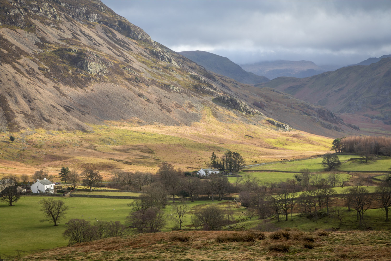
Zooming in on Lanthwaite Green

Looking the other way now, to Low Fell

The Low Fell ridge above Lorton Vale

Loweswater

Foulsyke and the foot of Low Fell

We descend towards Lanthwaite Wood, with Rannerdale Knotts beyond...


We re-enter Lanthwaite Wood

The path skirts around the edge of the wood, with views out to the fellside....


Lanthwaite Green Farm seen from the edge of the wood

Foot of Grasmoor

Bonnie, impatient to get down to the lake for a swim

We descend to Crummock Water beside the gill

Boathouse by the shore of Crummock Water

Looking across the lake

Low Fell from the stony beach by the boathouse

We follow the lakeshore path to the foot Crummock Water...


The foot of Crummock Water

Looking back to the boathouse which we'd passed a few minutes ago...


We follow the track back to the Scale Hill and the end of the walk

Next day, a few photos of the 'tommies' in our lawn - Crocus Tommasinianus, which we planted 25 years ago...

...since then they've naturalised and seeded themselves - from a few hundred bulbs there are now many thousands...

What lovely plants, attractive to bees and maintenance free (but don't mow the lawn until they've died down)
