
Route: Goathland to Grosmont Rail Trail
Area: North Yorkshire
Date of walk: 23rd May 2019
Walkers: Andrew and Gilly
Distance: 5.1 miles
Ascent: 150 feet
Weather: Weak sunshine
Today’s walk was a linear one, made possible by the excellent North Yorkshire Moors Railway. NYMR is a historic railway stretching for 18 miles through the heart of the North York Moors National Park, from Pickering via Levisham, Newton Dale and Goathland to Grosmont, with a further 6 mile extension to Whitby. It is the largest preserved heritage railway in the UK in terms of route mileage operated and passenger numbers
We parked in the station car park in Grosmont and bought 3 tickets (one of them a dog ticket) for the 12.30pm train to Goathland. NYMR owns a fleet of both steam and diesel trains and we were pleased that it was a steam train which pulled into the station. The journey ended all too soon as we disembarked at Goathland and set out on the journey back to Grosmont
After walking through Goathland village we joined the Grosmont Rail Trail, which is easy walking on the flat throughout. When we reached Beck Hole we made a short diversion of 1 mile or so in order to visit Thomason Foss waterfall, set in an idyllic location. The path is rocky and slippery towards the end and is probably best avoided in very wet weather
After admiring the waterfall we climbed back up to Beck Hole and left the road to follow a path beside the Murk Esk (a tributary of the River Esk). Shortly after this we joined the Rail Trail again. The easy path meandered its way along the valley, with no ups and downs, as this is the site of a former railway line and so takes the line of least resistance
Eventually our destination, Grosmont, came into view. We followed the path back into the village to arrive at the station car park and journey’s end. Thanks to NYMR for facilitating such a wonderful walk, and for adding so much interest and enjoyment to it
For other walks here, visit my Find Walks page and enter the name in the ‘Search site’ box
Click on the icon below for the route map (subscribers to OS Maps can view detailed maps of the route, visualise it in aerial 3D, and download the GPX file. Non-subscribers will see a base map)

Scroll down – or click on any photo to enlarge it and you can then view as a slideshow

Allium and iris in the garden earlier in the week - we'd see plenty of wild allium (garlic) during the course of our walk

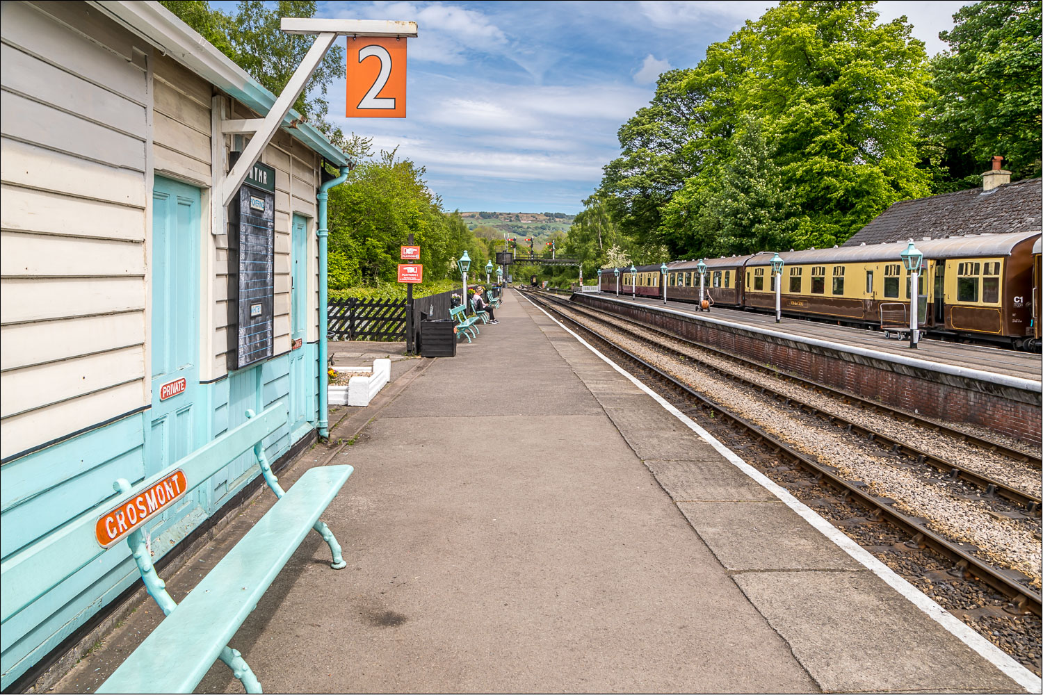
We arrive at Grosmont Station...

...and purchase our tickets for the 12.30pm train to Goathland

Stepping back in time...


Here comes our train

On board the train and heading for Goathland

The Esk Valley below - we'll be returning along the valley later

We arrive at Goathland Station and cross the footbridge over the line...


We walk through Goathland, aka Aidensfield in the 1960's TV series 'Heartbeat'...


Some of the residents of Goathland

We follow the road towards Beck Hole for a short distance

We turn off to join the Rail Trail...


The path is lined with wild garlic...


Just beyond Incline Cottage, currently being renovated, we turn right for a detour to see Thomason Foss waterfall

We head towards Beck Hole

Passing through Beck Hole...

We follow the path to the waterfall, which is quite rough towards the end

Thomason Foss, a worthwhile diversion

We retrace our steps beside Eller Beck

We follow the road out of Beck Hole for a short distance...

...before turning off to follow this sign

The narrow path soon rejoins the Rail Trail

Wildflowers along the way

Back on the Rail Trail

Our path follows the course of the Murk Esk, one of the tributaries of the River Esk...


We're walking on the site of the old railway line, so it's very easy going...


Approaching Grosmont

The engine sheds are ahead, but we turn left to follow a path around them...


Grosmont below

We descend back to the station...

...and exit the platform to return to the car park, and the end of a thoroughly enjoyable walk
Follow the link for more walks in North Yorkshire (152)
