
Route: Brackenthwaite Hows
Area: Western Lake District
Date of walk: 28th October 2022
Walkers: Andrew and Gilly
Distance: 3.0 miles
Ascent: 800 feet
Weather: Sunny intervals, gale force winds
Brackenthwaite Hows, otherwise known as Lanthwaite Hill, is one of my favourite places in the Lake District. This place has featured on my site many times, but I take the view that no two walks are ever the same – changing seasons and variations in the light and weather make for an infinite number of possibilities – and there’s always something new to be seen
As on the last occasion here we parked in one of the free spaces by Lanthwaite Green Farm. We crossed the Buttermere road and headed towards Whin Ben, a ridge which leads up to Whiteside. After crossing the footbridge over Liza Beck we followed the delightful path above Lorton Vale. We kept a sharp lookout for Beck House on our left and when we drew level with it we left the valley path and passed through a gate. The path descended to a very boggy area before Liza Beck, which we crossed for the second time and immediately after that crossed the Buttermere road. We passed by Pickett Howe and started the easy climb up the slopes of Brackenthwaite Hows, following a faint path not shown on the OS maps
We were soon on the top of the hill admiring the views in all directions – Crummock Water and the western fells ahead, Loweswater on the right, Lorton Vale stretching out behind us and Whiteside and Grasmoor on the left. It was blowing a gale on the top so we didn’t linger despite the glorious views
We descended towards Crummock Water and entered Lanthwaite Wood via a deer gate. We then followed a path beside a dry stone wall at the edge of the wood. Near the edge of the wood we followed a path out of it back to Lanthwaite Green and the end of a wonderful short walk
For other walks here, visit my Find Walks page and enter the name in the ‘Search site’ box
Click on the icon below for the route map (subscribers to OS Maps can view detailed maps of the route, visualise it in aerial 3D, and download the GPX file. Non-subscribers will see a base map)

Scroll down – or click on any photo to enlarge it and you can then view as a slideshow

View from the car park at Lanthwaite Green, looking towards Mellbreak

We cross the road and follow a path in the direction of Whiteside

Looking back to Mellbreak and Crummock Water

We cross the footbridge over Liza Beck

Looking across to the Loweswater fells

Start of the path along Lorton Vale

Looking back to Mellbreak and Crummock Water

A view across to our destination, Brackenthwaite Hows

We leave the valley path and pass through this gate into a field

We walk through the field towards Brackenthwaite Hows

Newly planted trees, with Low Fell in the background

After a short very boggy section we cross Liza Beck again

We cross the road and follow a path above Pickett Howe

Start of the easy climb up the slopes of Brackenthwaite Hows

Looking across to Low Fell

Brackenthwaite Hows

Lanthwaite Green at the foot of Grasmoor

Looking back to Whiteside

Lorton Vale from Brackenthwaite Hows

Whiteside and Grasmoor

Loweswater. The view over Crummock Water is wonderful too, but a blinding low sun over the lake made it impossible to take photos in that direction

Grasmoor, with Lanthwaite Green Farm and the start of the walk below

We descend into Lanthwaite Wood...

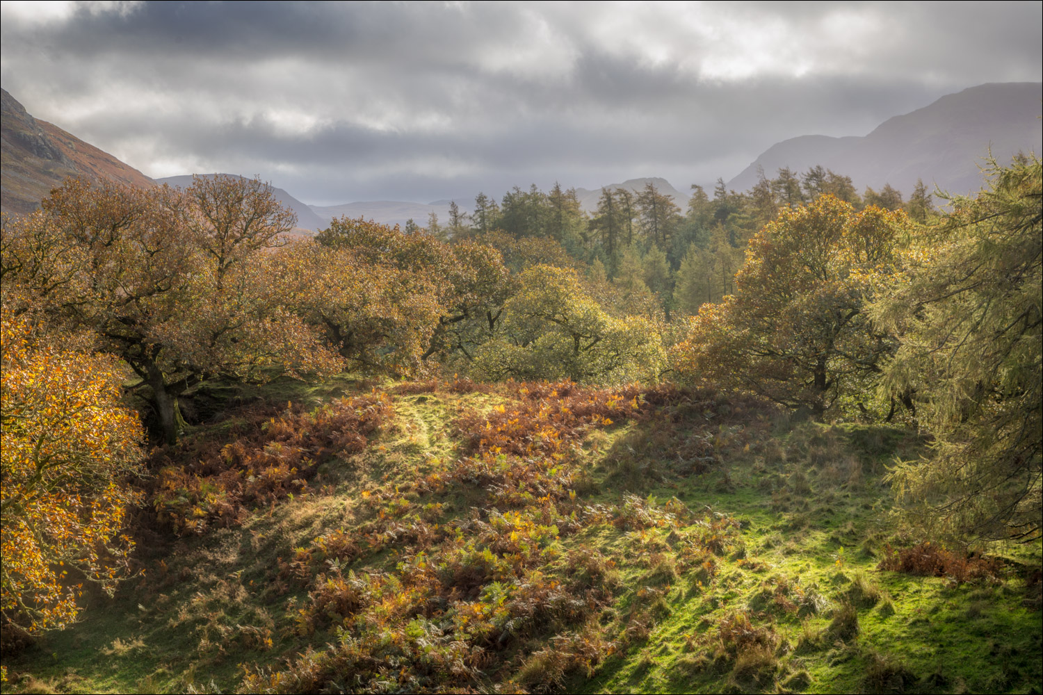
Autumn colours in Lanthwaite Wood

On entering the wood, we follow a path around its edge...


Lanthwaite Green seen through a gap in the trees


Grasmoor


We leave the wood via a gate and head towards Whiteside and Lanthwaite Green

Lanthwaite Green Farm ahead, and the end of a wonderful short walk

Next day, a red squirrel in the garden
