A guest entry by son James
Route: Berg Lake Trail
Area: Canada, British Columbia
Date of walk: 2nd-5th August 2026
Walkers: James and Anna
Distance: 24.9 miles (40.1 km)
Ascent: 5,072 feet (1,546 m)
Weather:
The Berg Lake Trail is a world-class backpacking route in the Canadian Rockies, near Jasper. The trail had been closed for several years as a result of the extreme flooding in 2021 which destroyedg most of the infrastructure. It has only recently been fully repaired and reopened. The route is a 25mile (40km) out-and-back and makes use of the 7 excellent campgrounds along the way. Berg Lake Campground (at the 20km marker and turnaround point) is the most sought after and camping reservations are extremely hard to come by, however we were lucky enough to book three consecutive nights there
The trail itself traverses around the base of Mount Robson, the highest peak in the Canadian Rockies. Weather in the Rockies can be extremely changeable, so always be prepared. The three days before our arrival had been continuous heavy rain, and we arrived to the campground to find shivering hikers huddled in the Hargreaves Shelter, trying to dry out their wet clothes and sleeping bags.
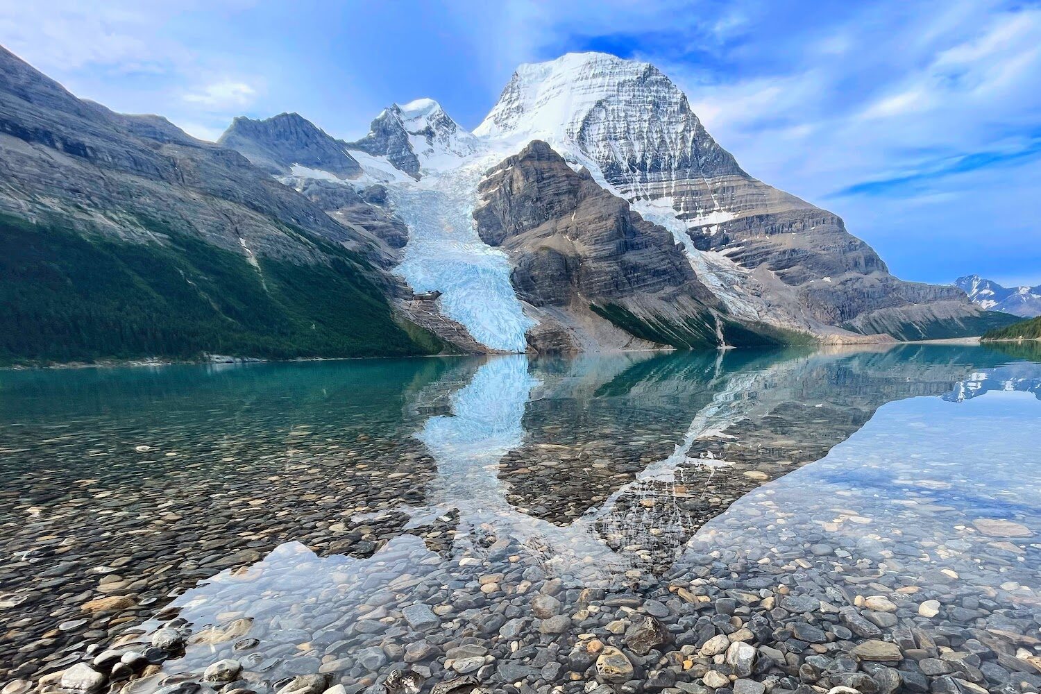
The campground provided an uninterrupted view across the lake towards the north-face of the peak itself and the retreating Berg Glacier. Splitting our trip across four days allowed us to access some offshoot walks that start at Berg Lake Campground, such as Snowbird Pass and Toboggan Falls. The photographs below show the route to the Berg Lake Campground, as well as the return leg three days later when the weather had cheered up a little.
The Maplink is to Day 1 only, which covers the initial approach from the Mount Robson Trailhead. The full route, with links to each day, is as follows:
- Day 1 – 14 miles, 3,450 feet
- Day 2 – 4.35 miles, 1,370 feet
- Day 3 – 9.3 miles , 1,600 feet
- Day 4 – 13.7 miles, 790 feet
Scroll down – or click on any photo to enlarge it and you can then view as a slideshow
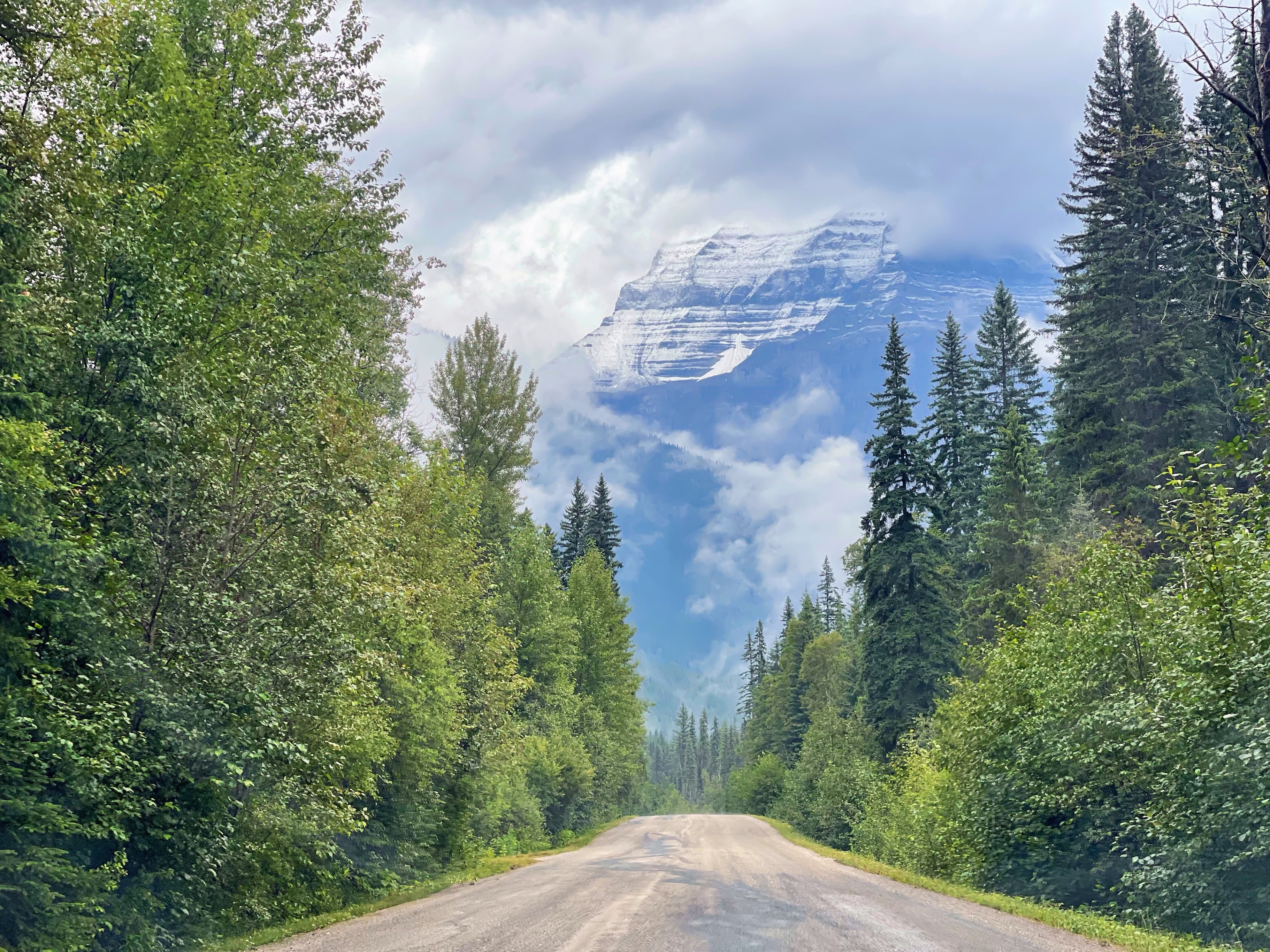
A short drive along a gravel road takes you to the car park at the start of the trail. Mount Robson is currently hidden by the clouds
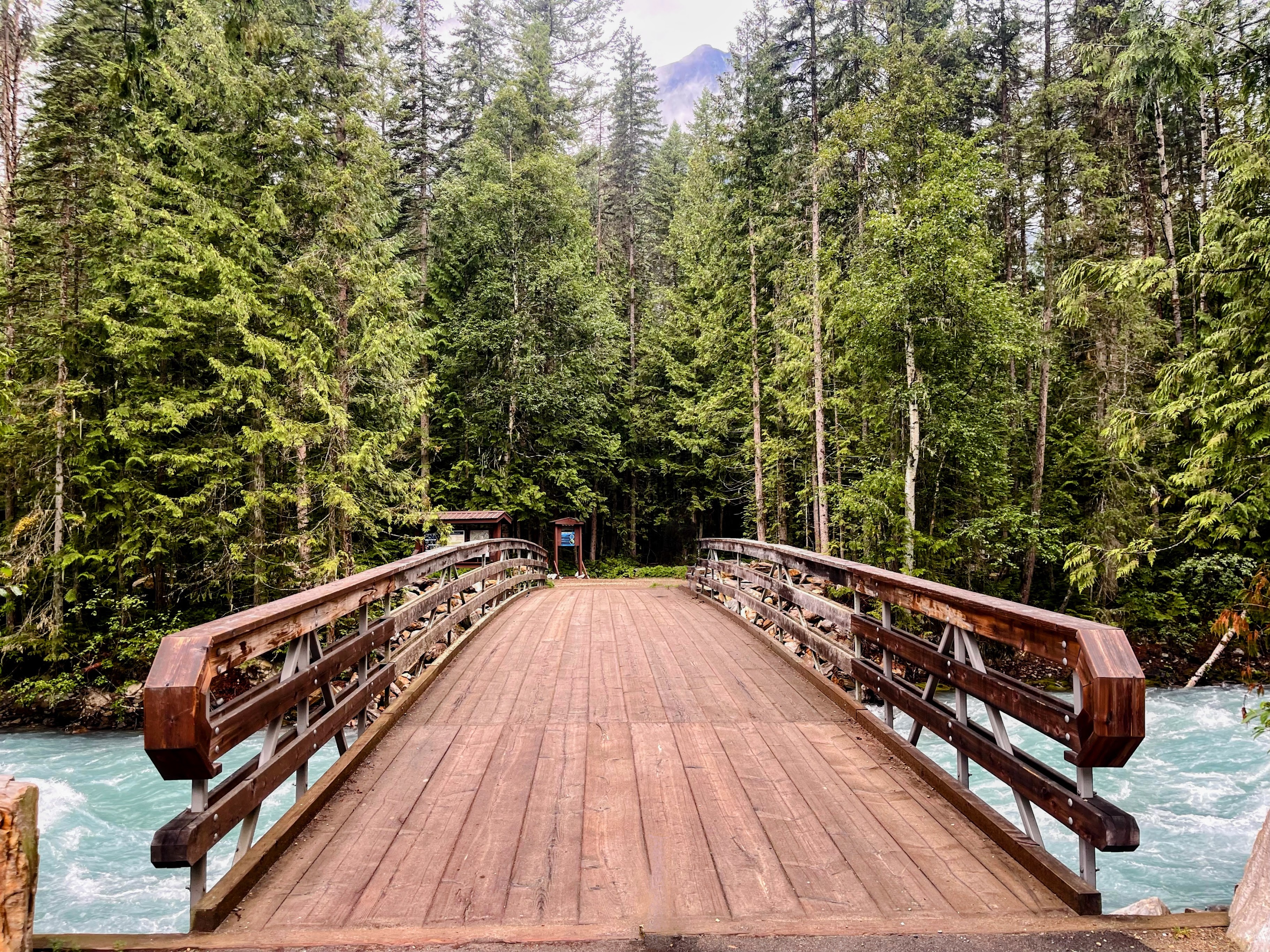
The bridge of the Robson River marks the start of the trail
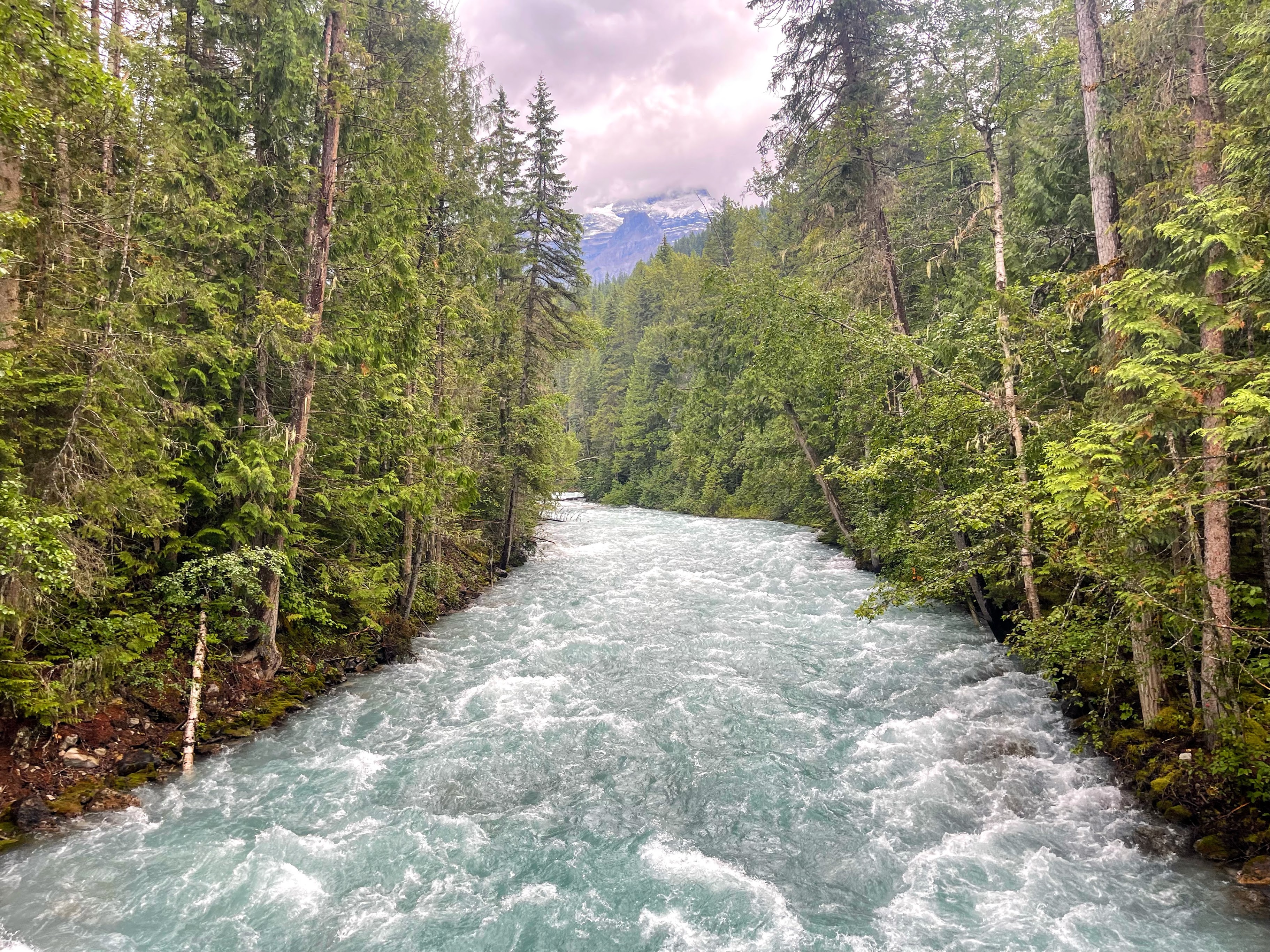
The Robson River was in good flow due to the recent three days of rain
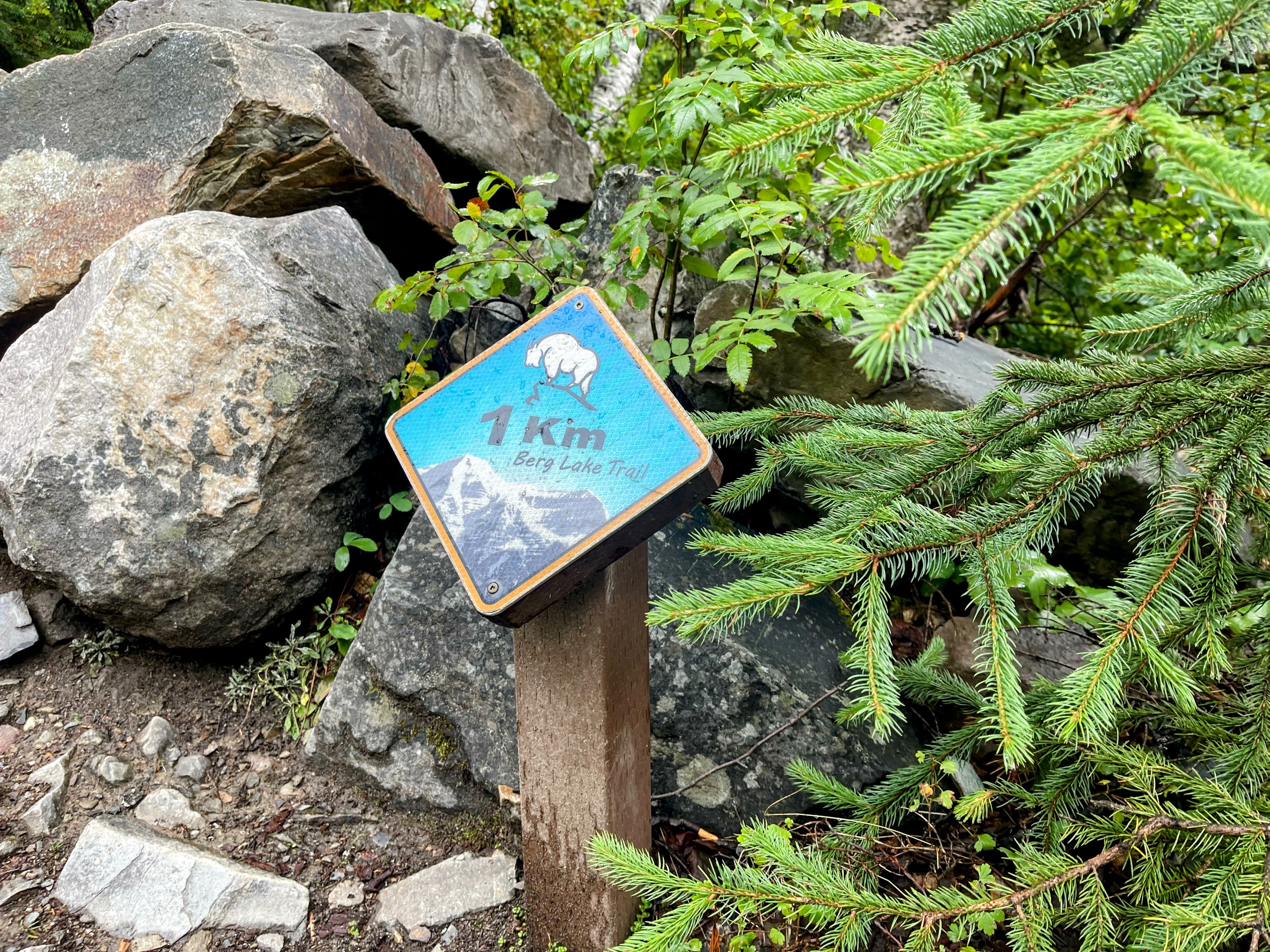
The first of 20 trail markers counting our way to the campground. With small diversions along the way, expect the route to be 1-2km longer
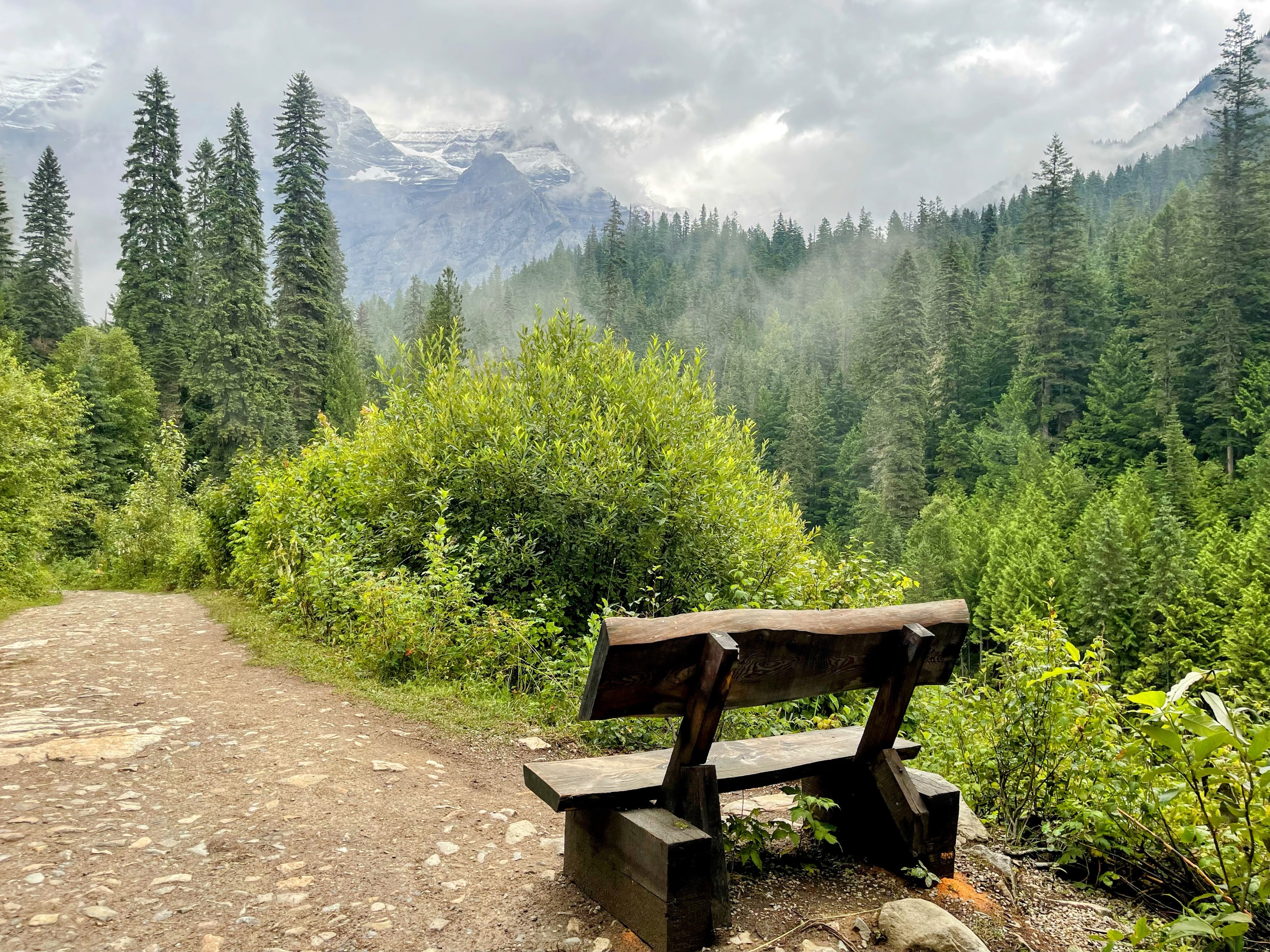
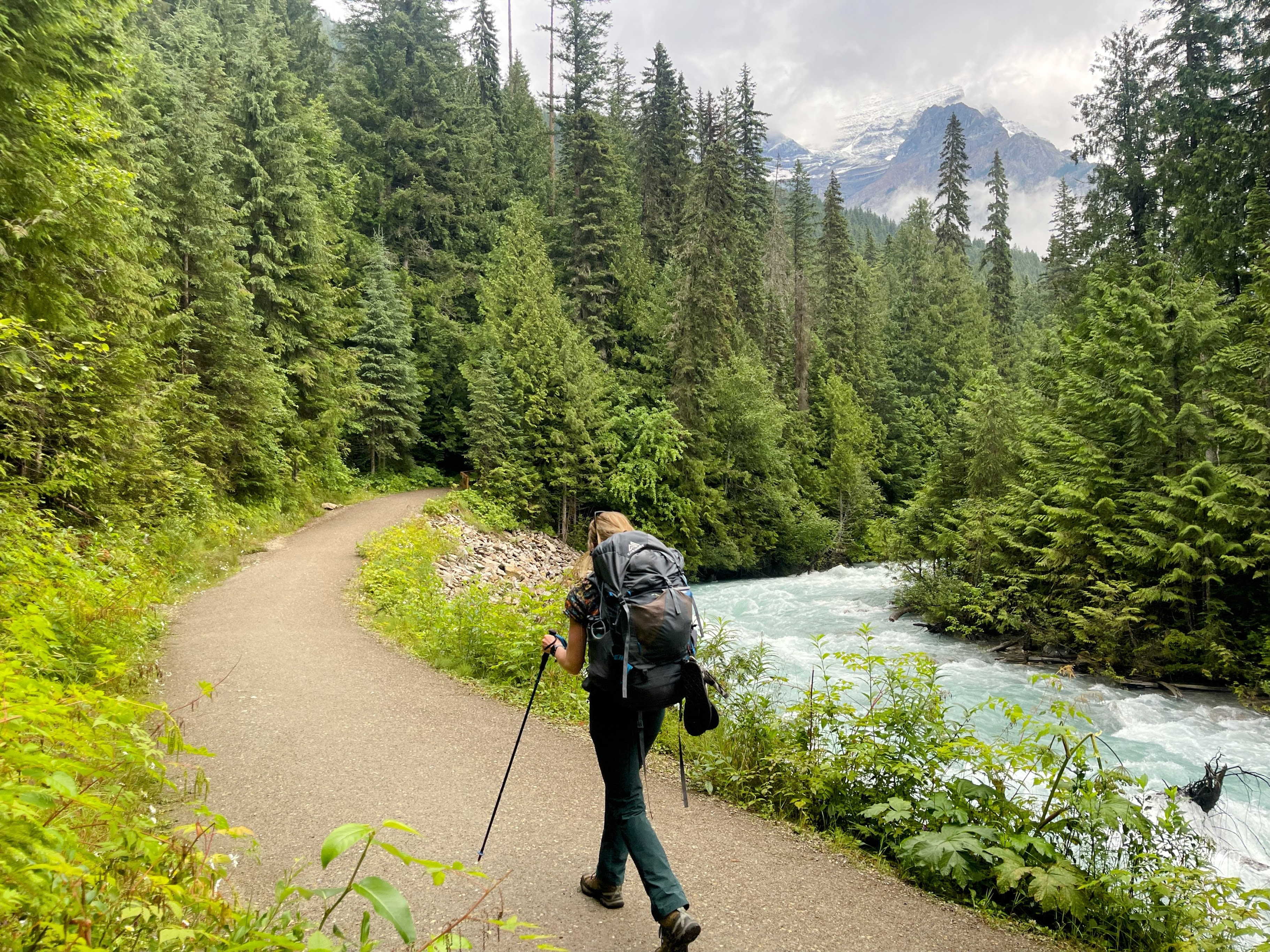
The first three miles (5km) towards Kinney Lake are easy, flowing footpaths following the Robson River
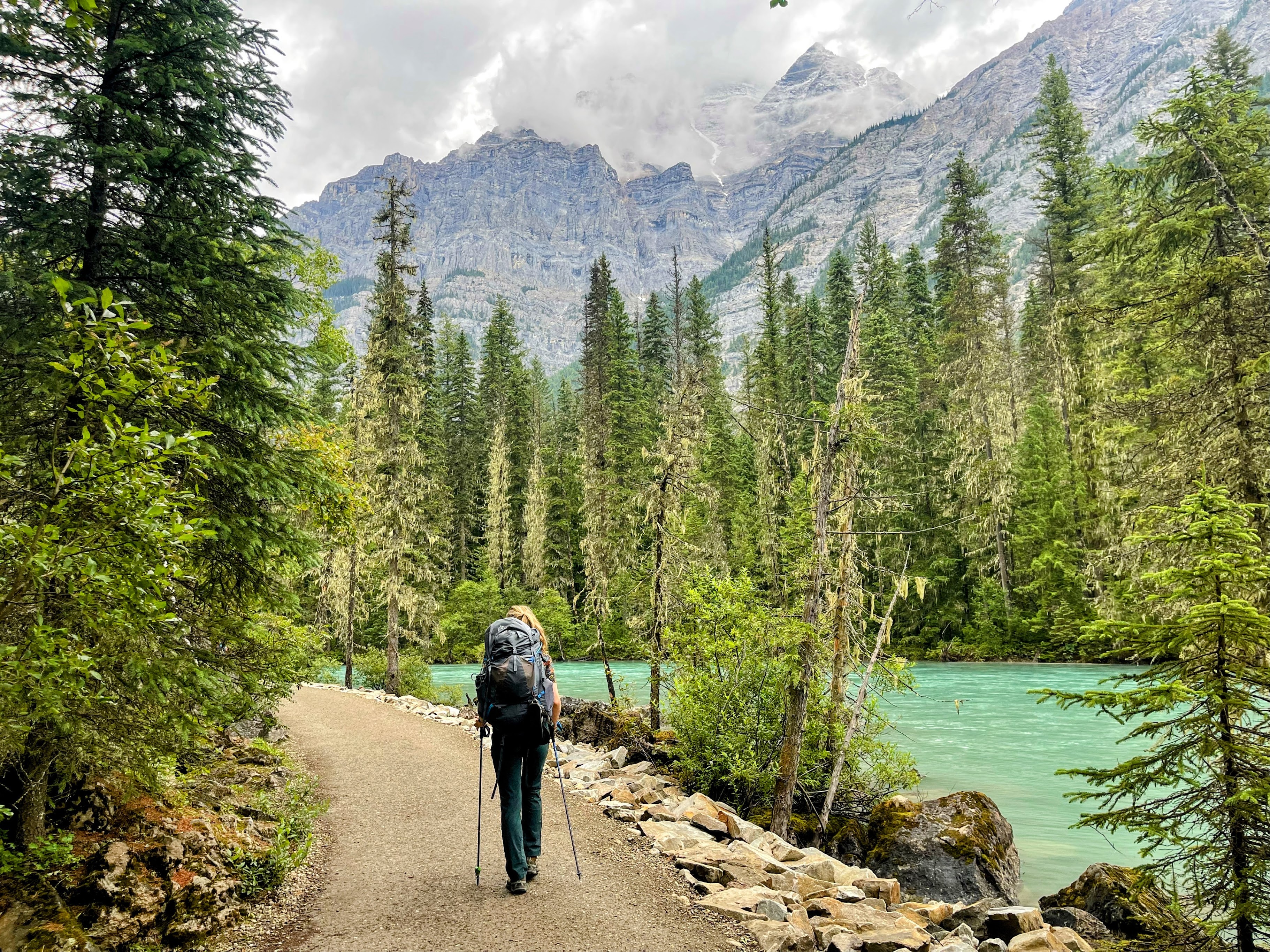
Nearer to Kinney Lake, the river slows and starts to reveal its glacial blue colour
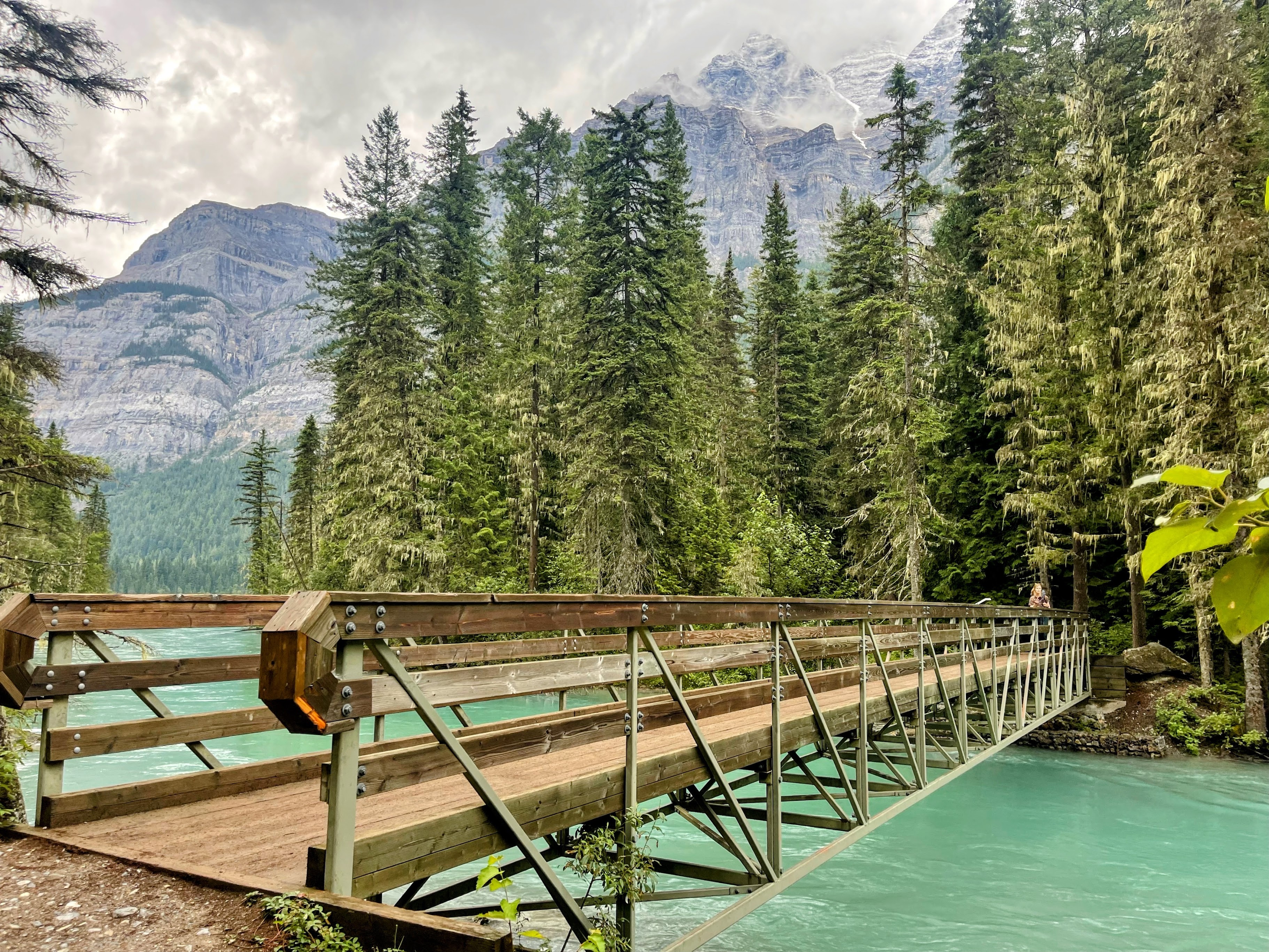
One of the many new bridges rebuilt after the 2021 flooding
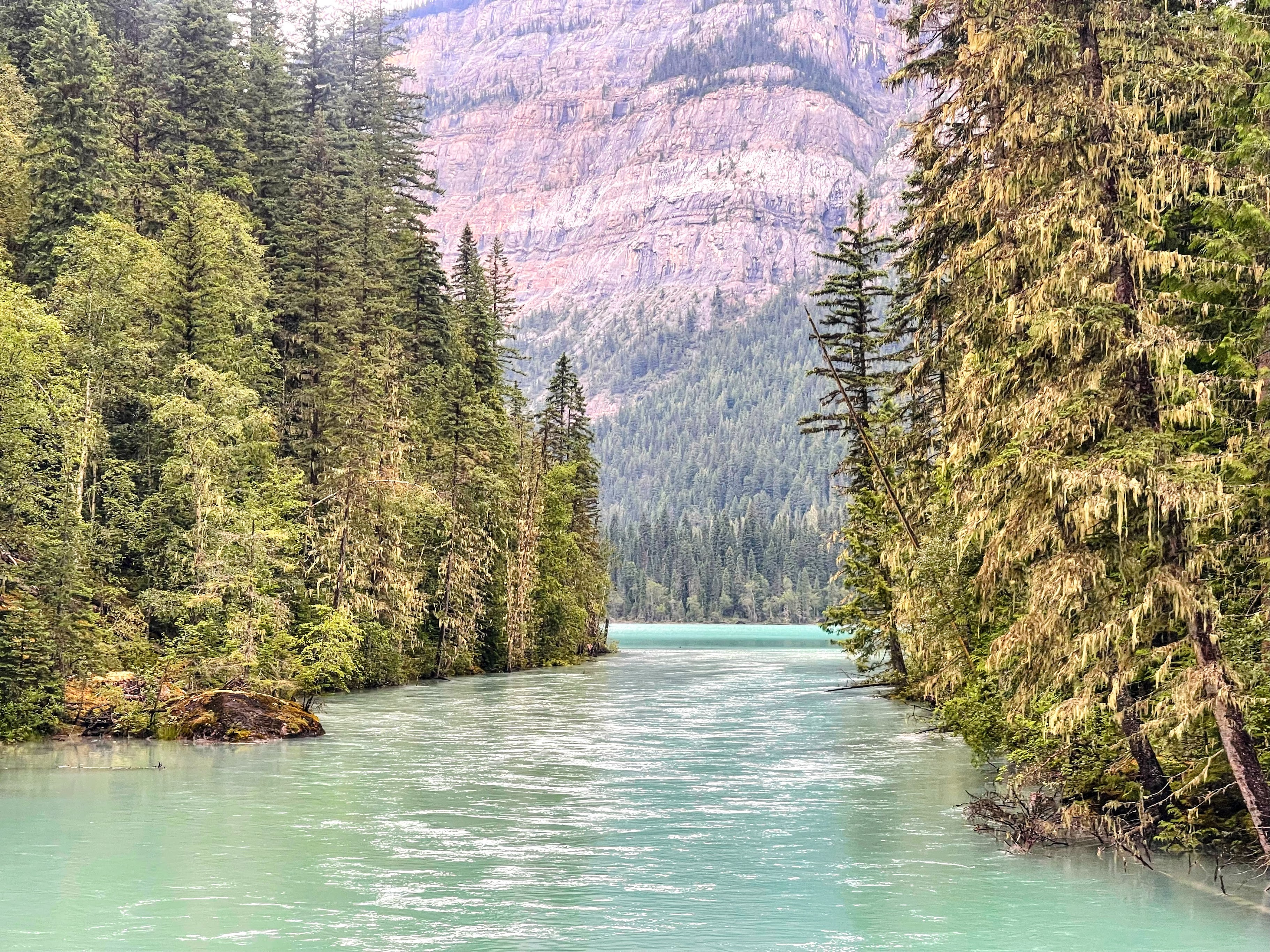
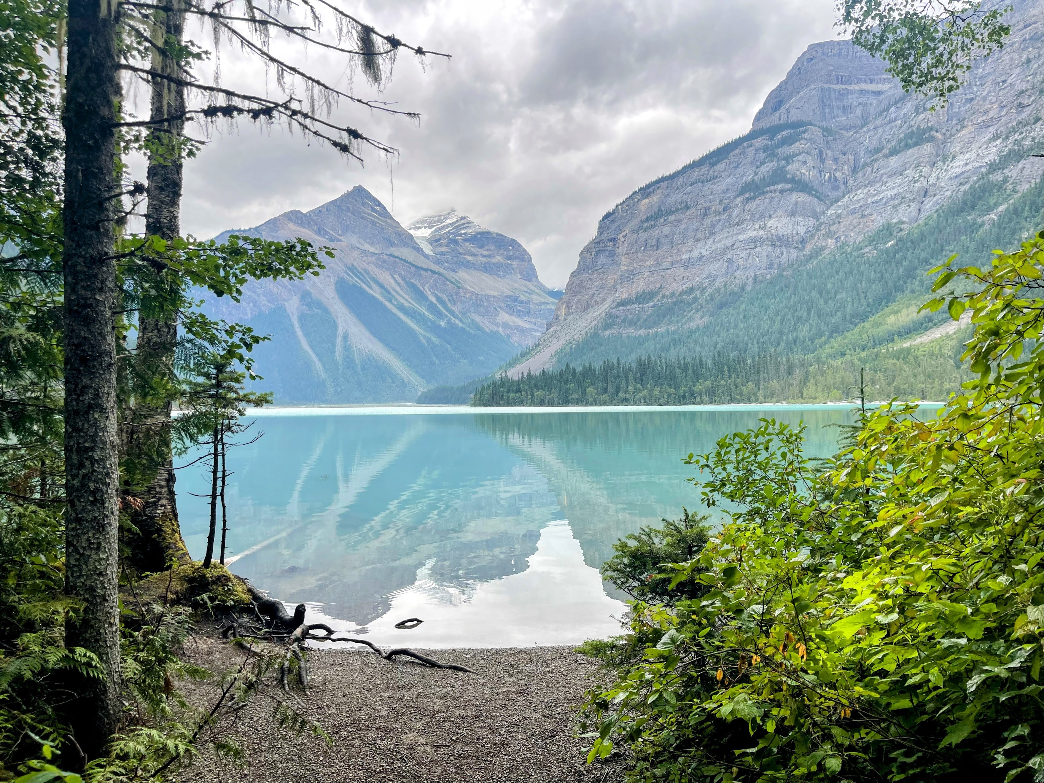
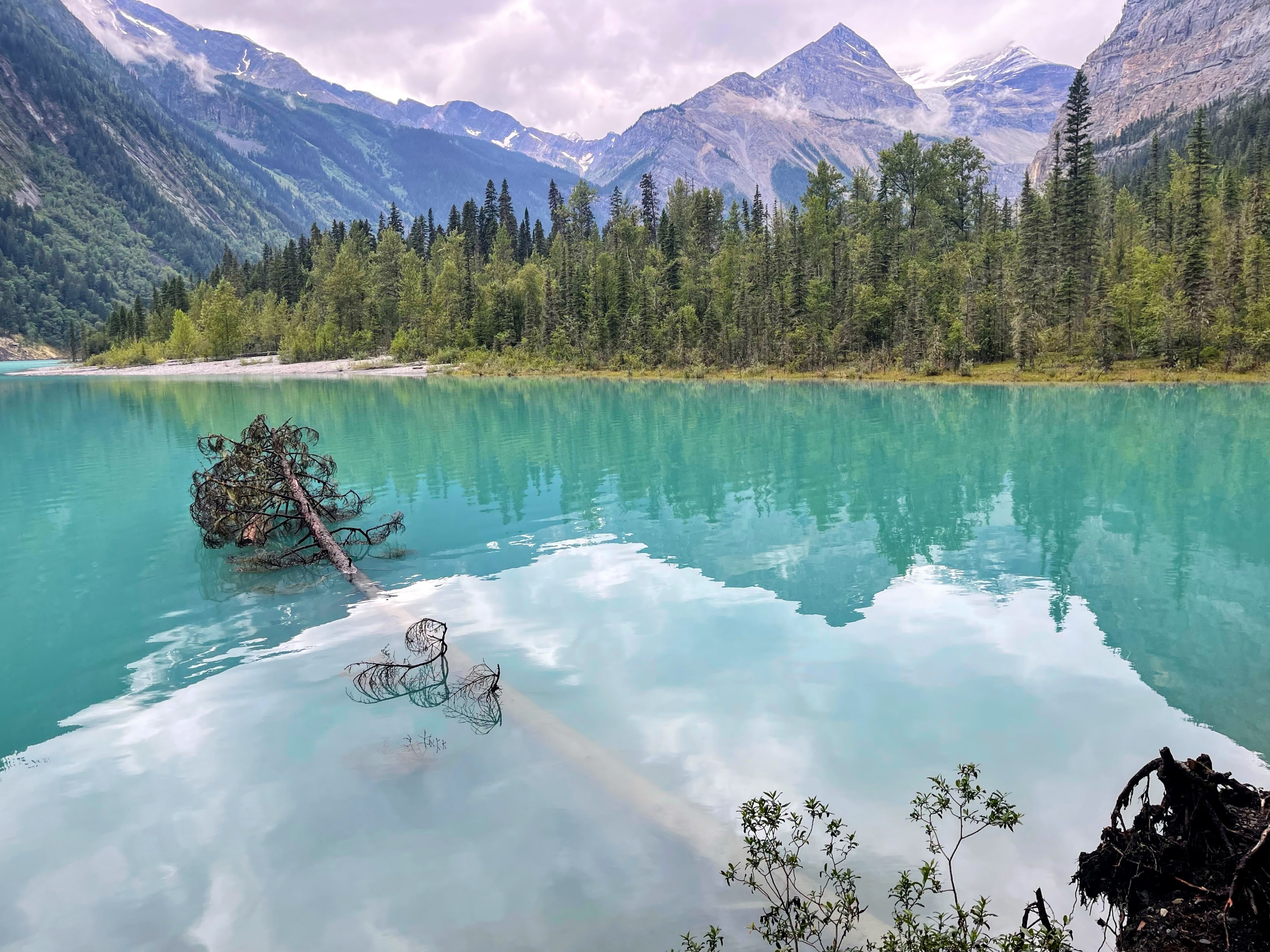
The first view across Kinney Lake. The blue colour is muted by the overcast weather but came alive for our return journey (keep scrolling...).
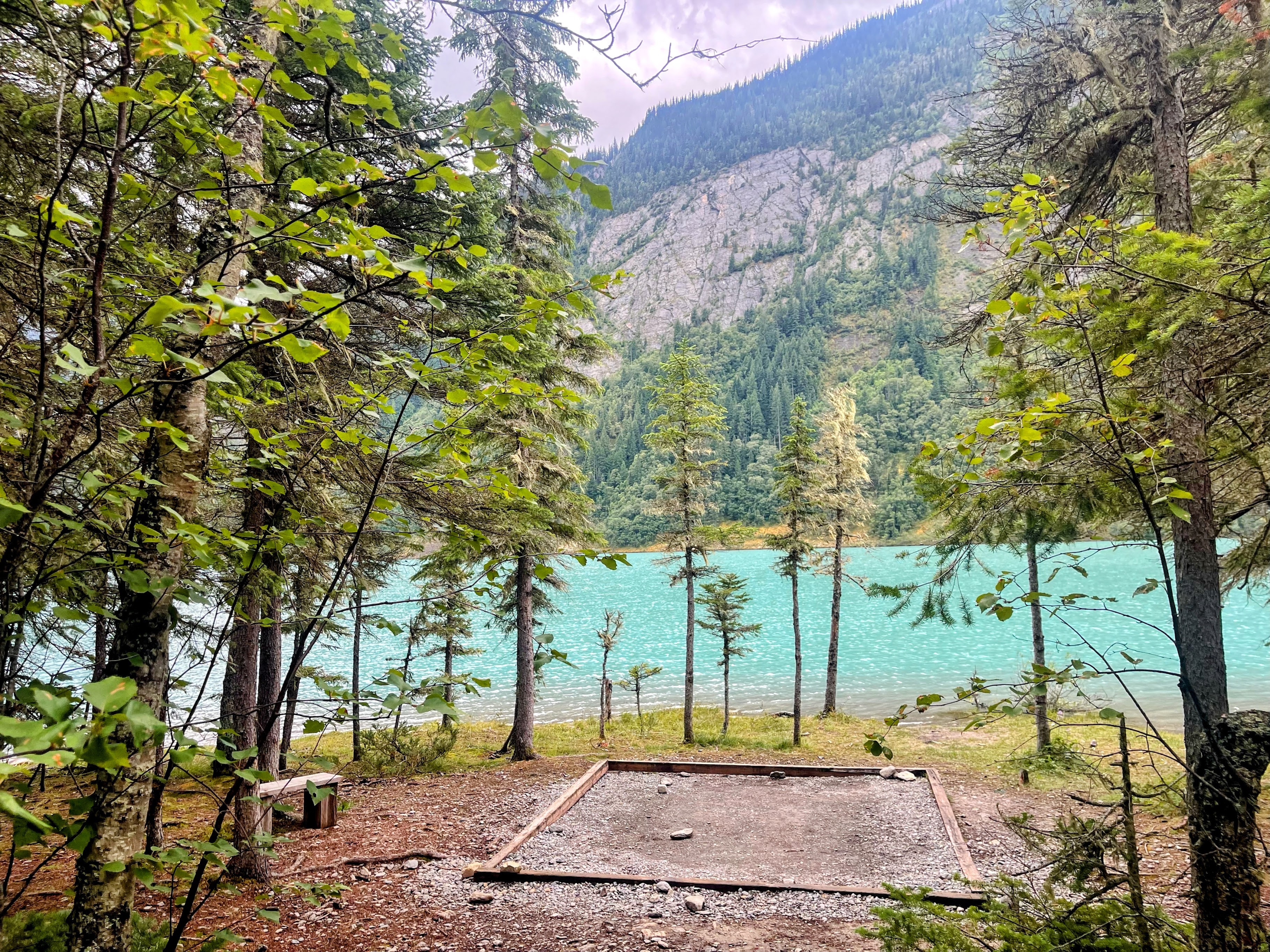
One of the 14 tent pads available at Kinney Lake Campground, and at only 5km in to the hike, more accessible for families or first time campers
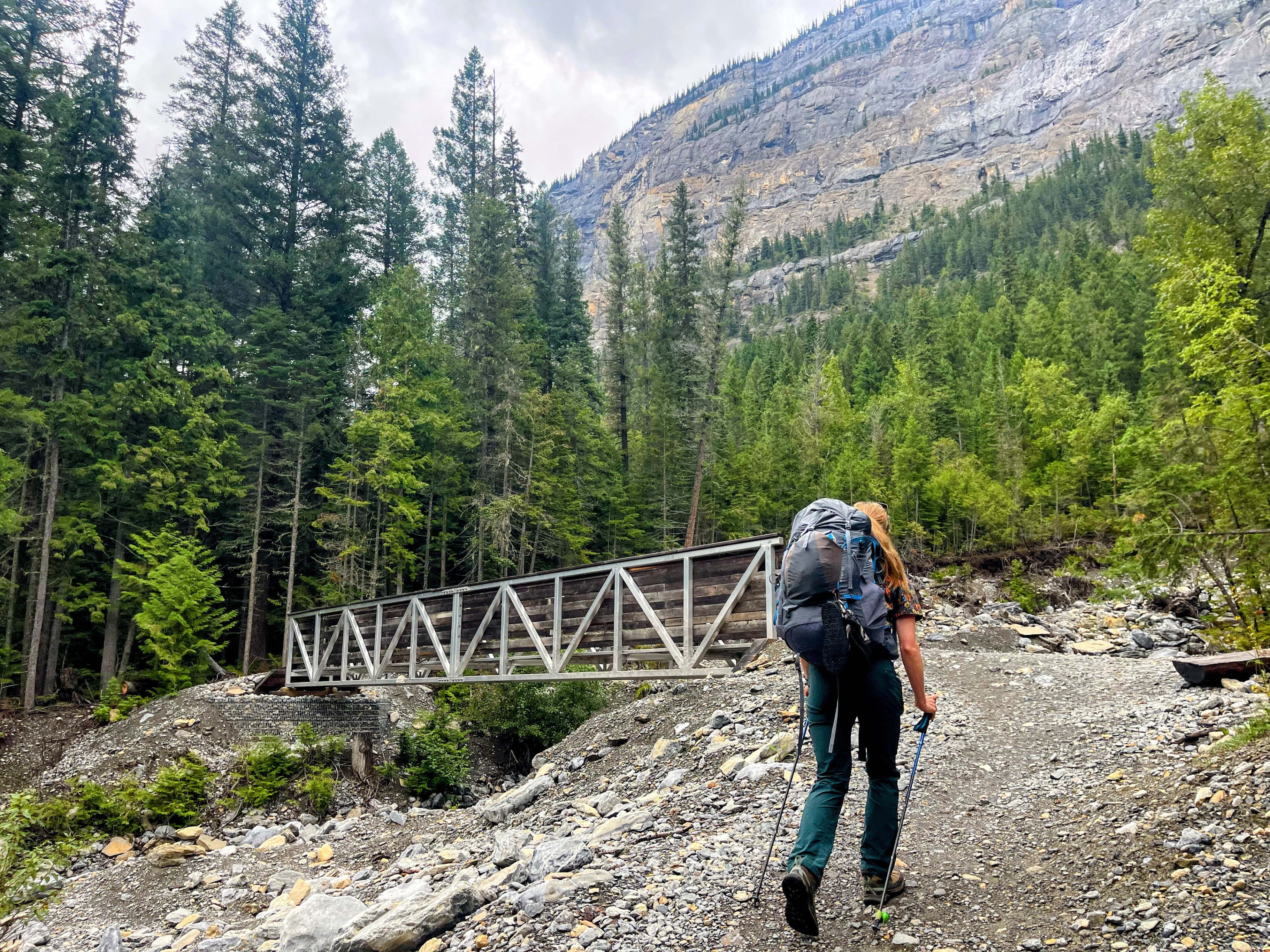
Leaving Kinney Lake Campground and crossing yet another new bridge. The trail begins to narrow from here
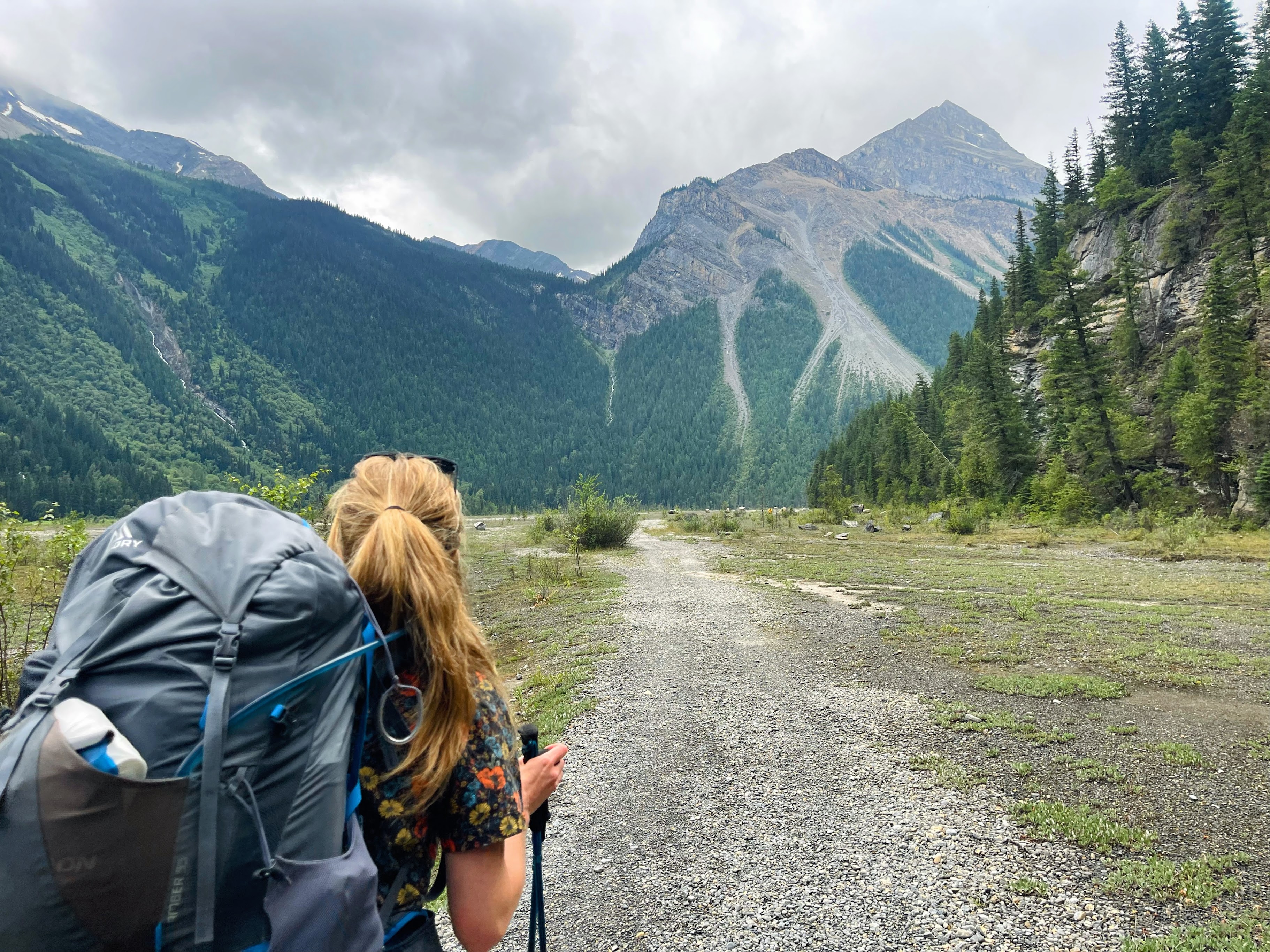
After leaving the campground, there is a fork to choose either an undulating forested route, or the direct Kinney Flats. With the 40lb backpacks, we opted for the latter..
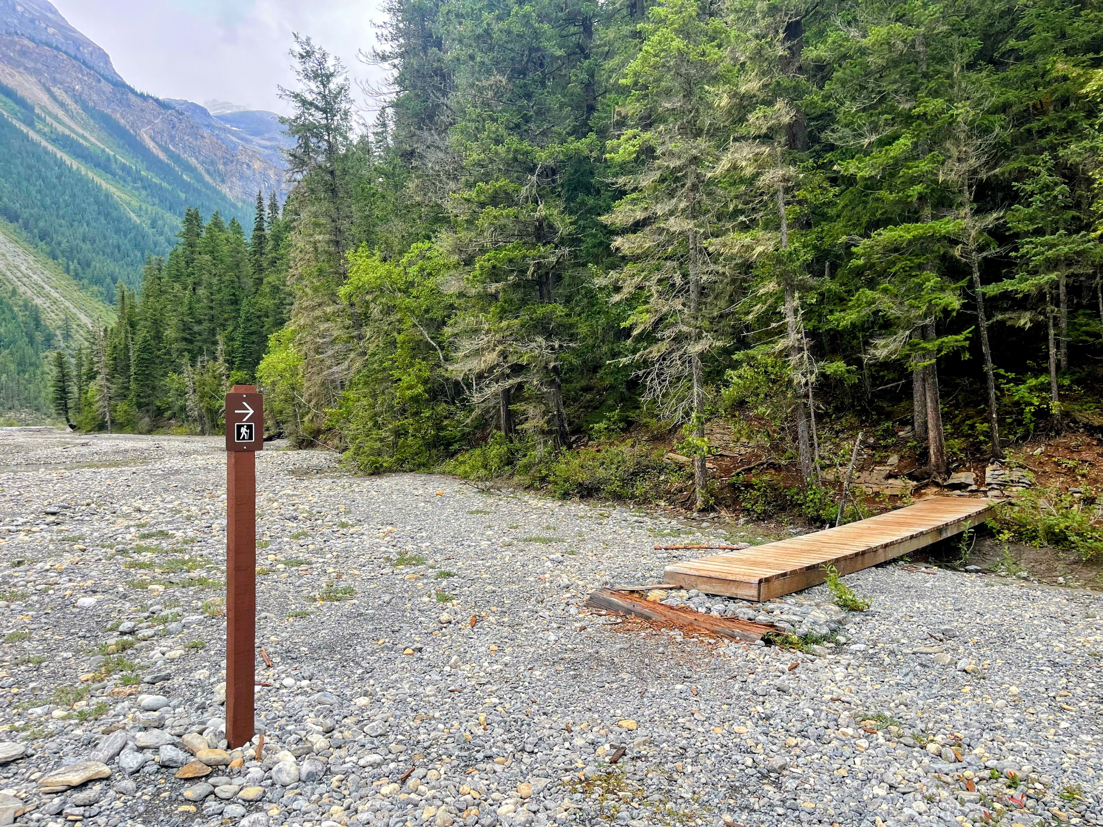
The end of Kinney Flats
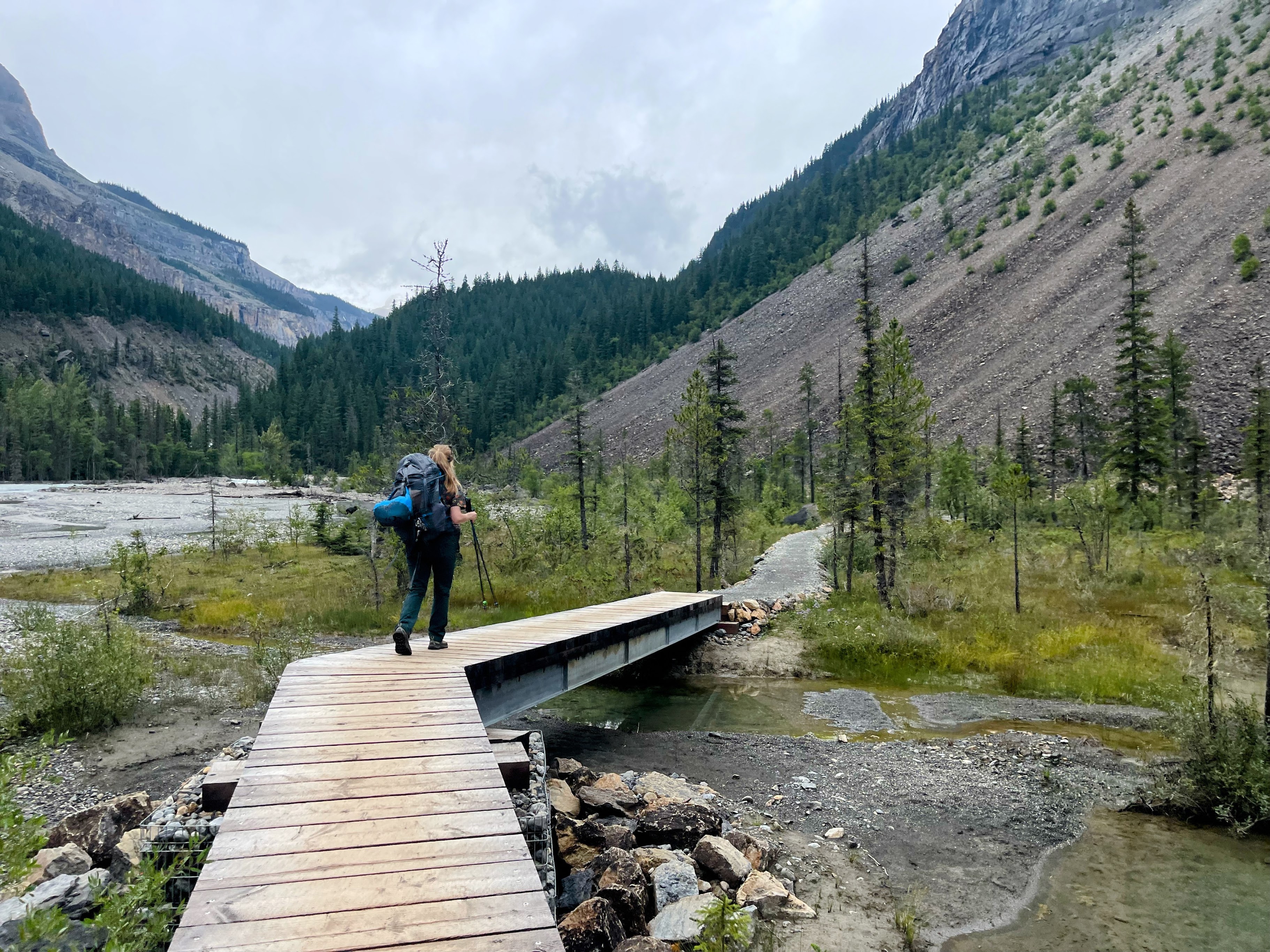
The trail remains relatively flat for the first 8km (5mi) or so
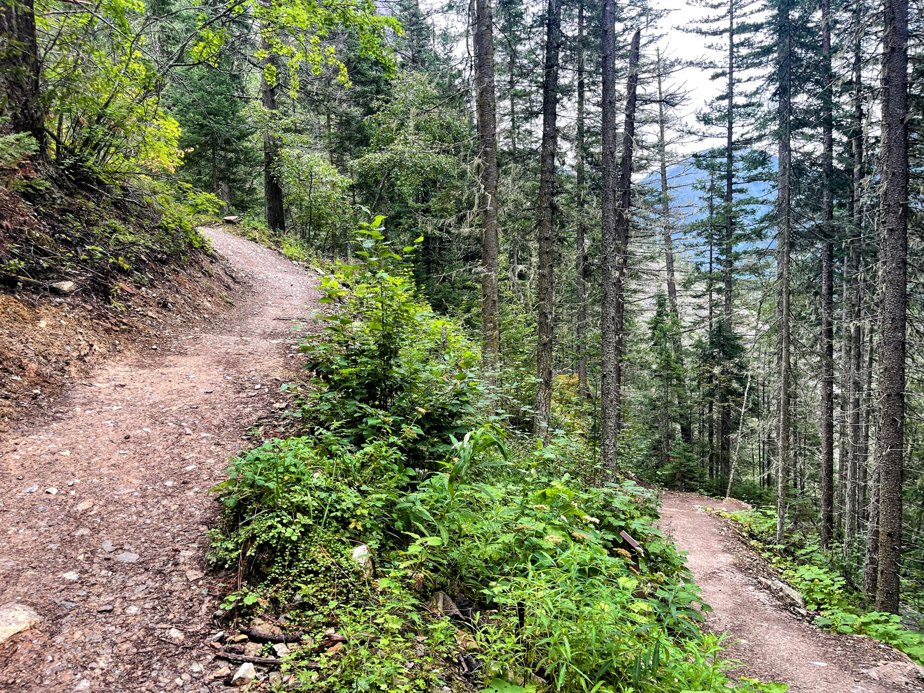
Although there's a few switchbacks to reach Whitehorn Campground
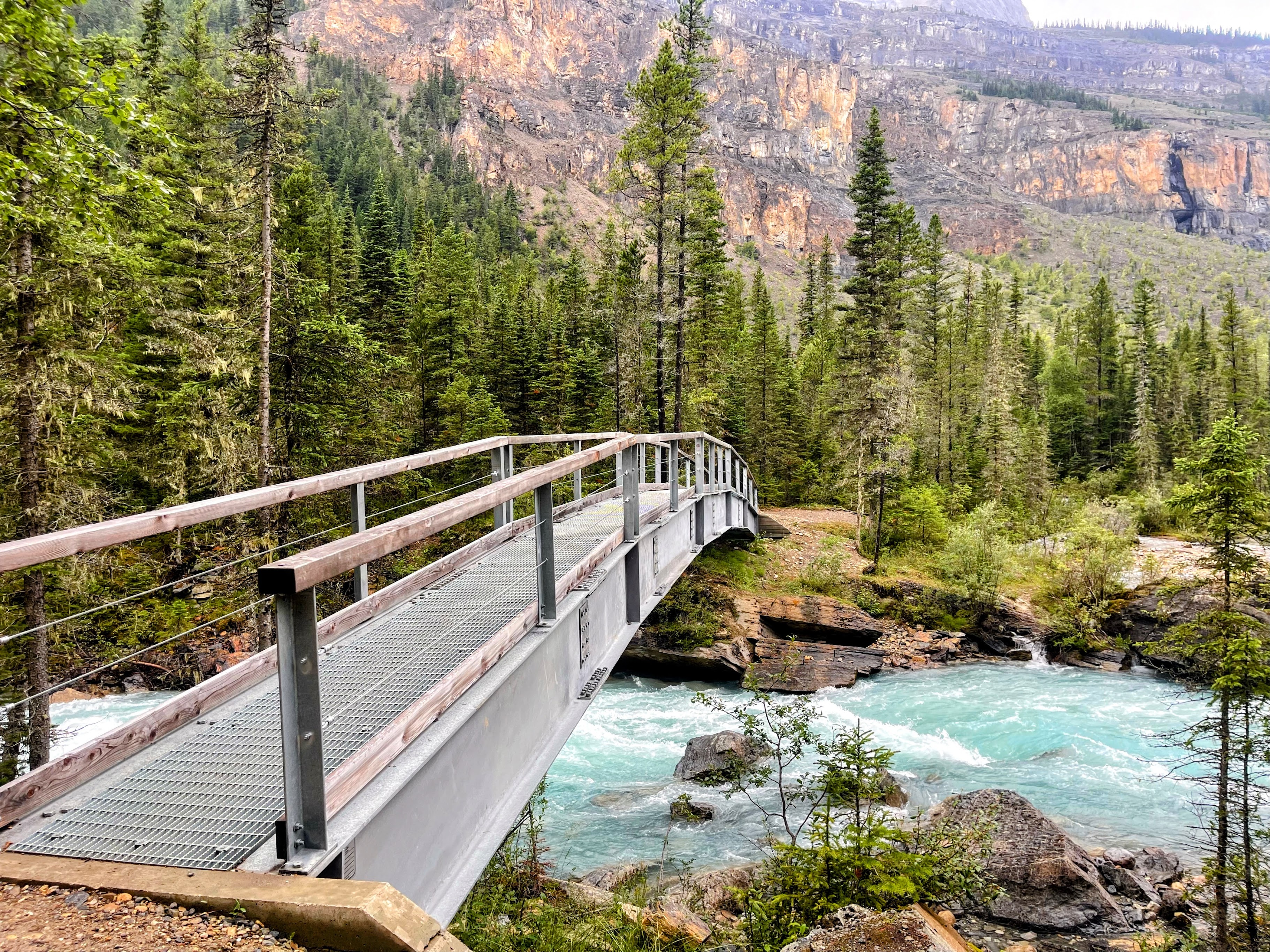
The bridge from Whitehorn Campground marks the beginning the Valley of a Thousand Falls
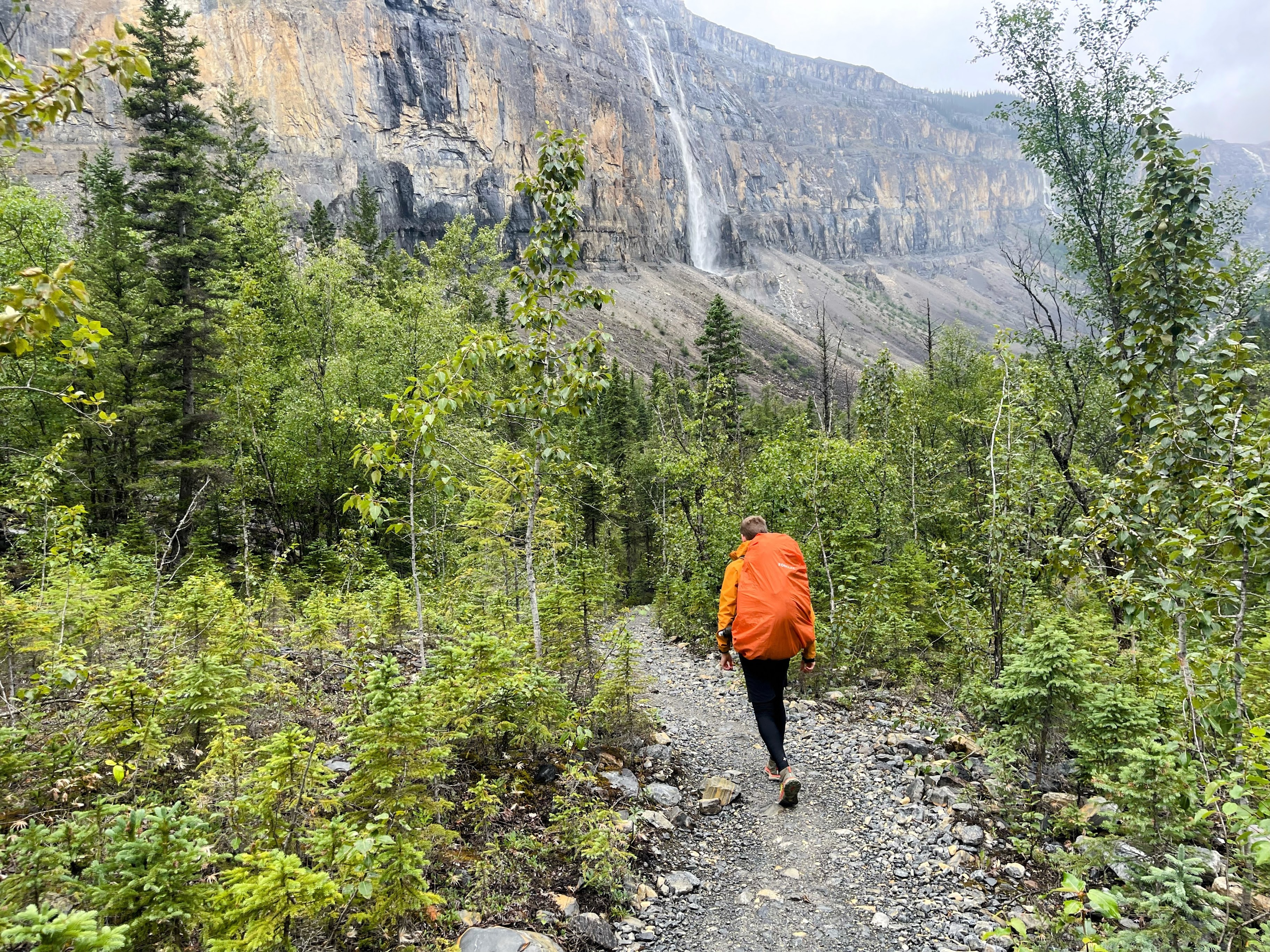
The first of many waterfalls that can be seen along the way. A brief shower meant we had to put our rain jackets and pack covers on
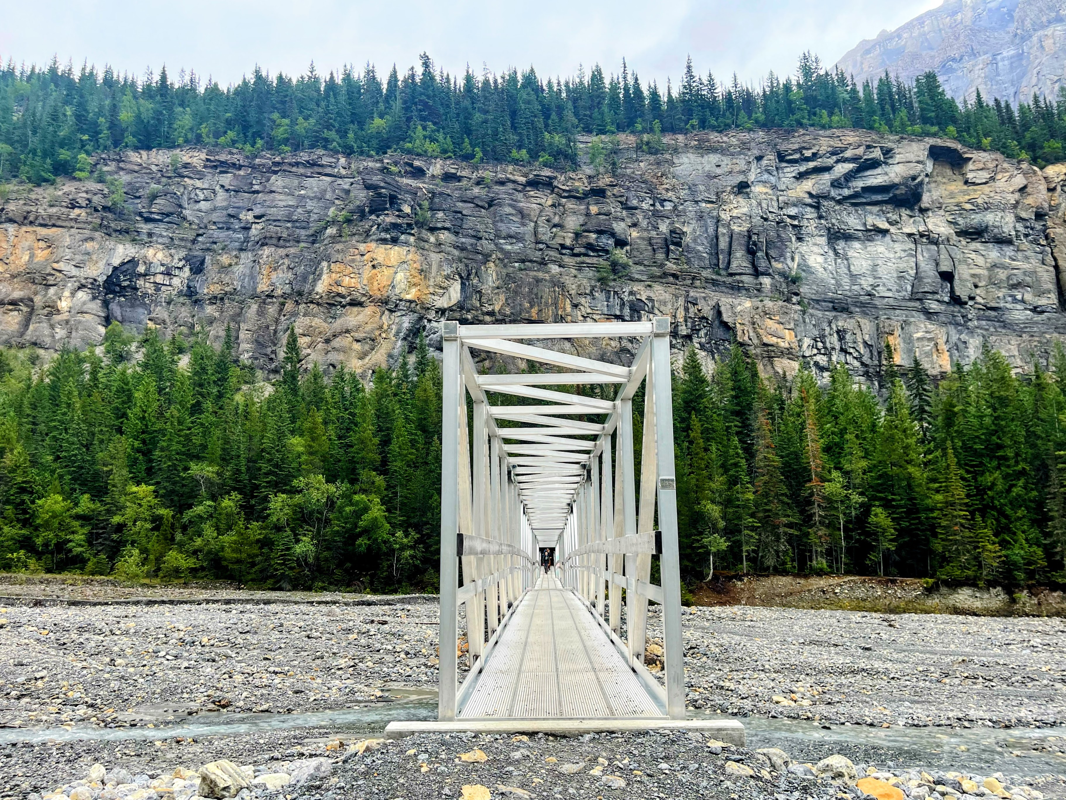
Crossing an adjoining tributary of the Robson River along a much longer bridge - this one about 50m long
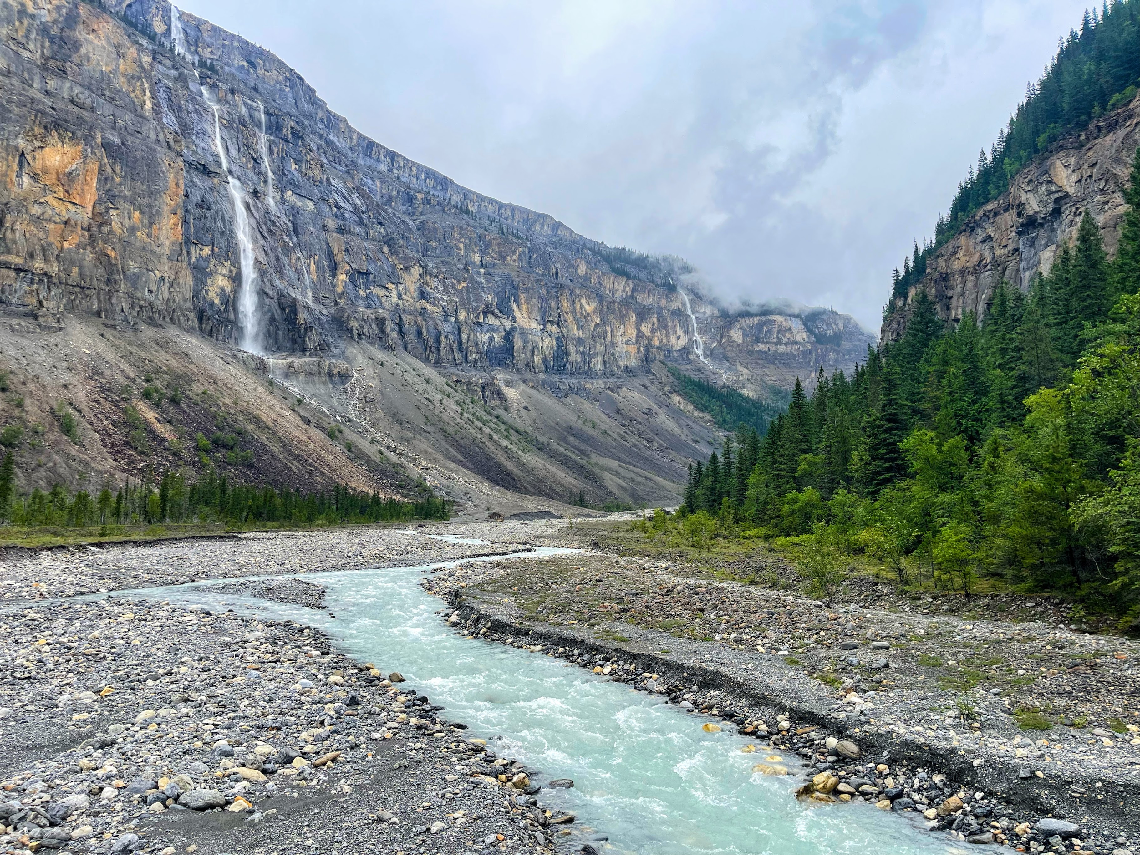
Looking North from the bridge along the Valley of a Thousand Falls
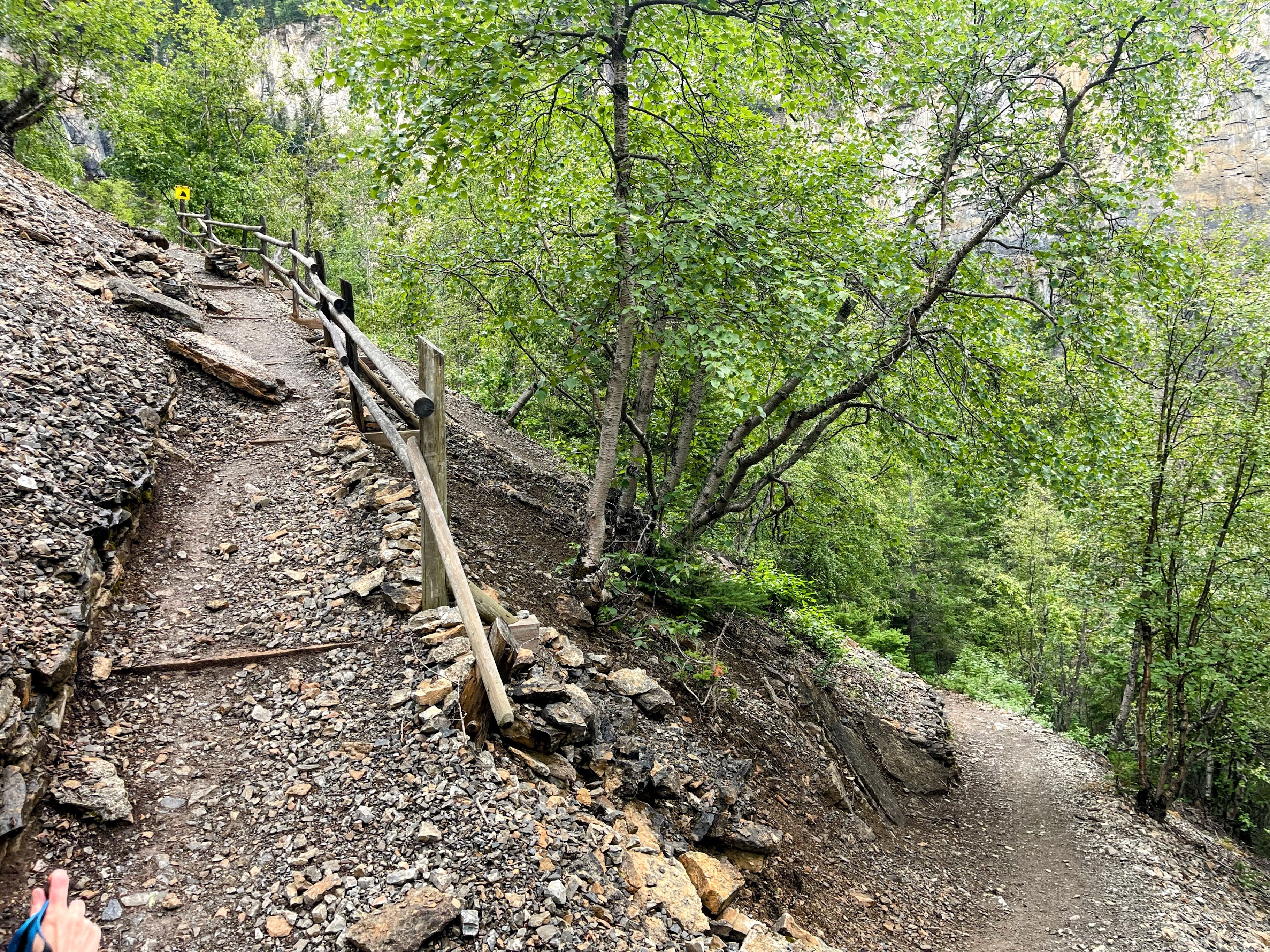
From here (about 12km or 7miles) in, the gradient pitches upwards and gains over 500m in 3km or so
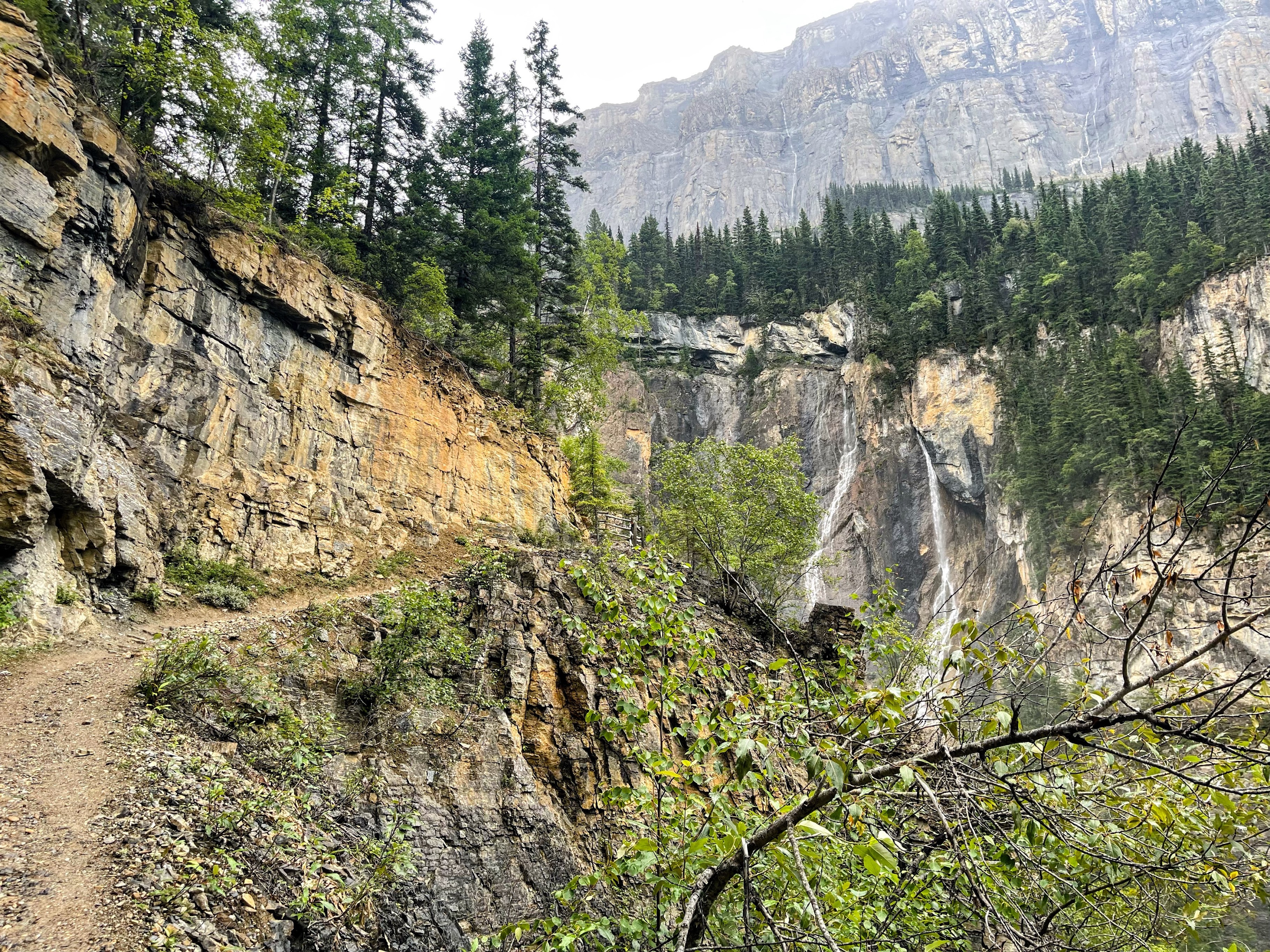
Loose shale sections where stopping is not permitted. Mount Robson looms almost 3km vertically above you
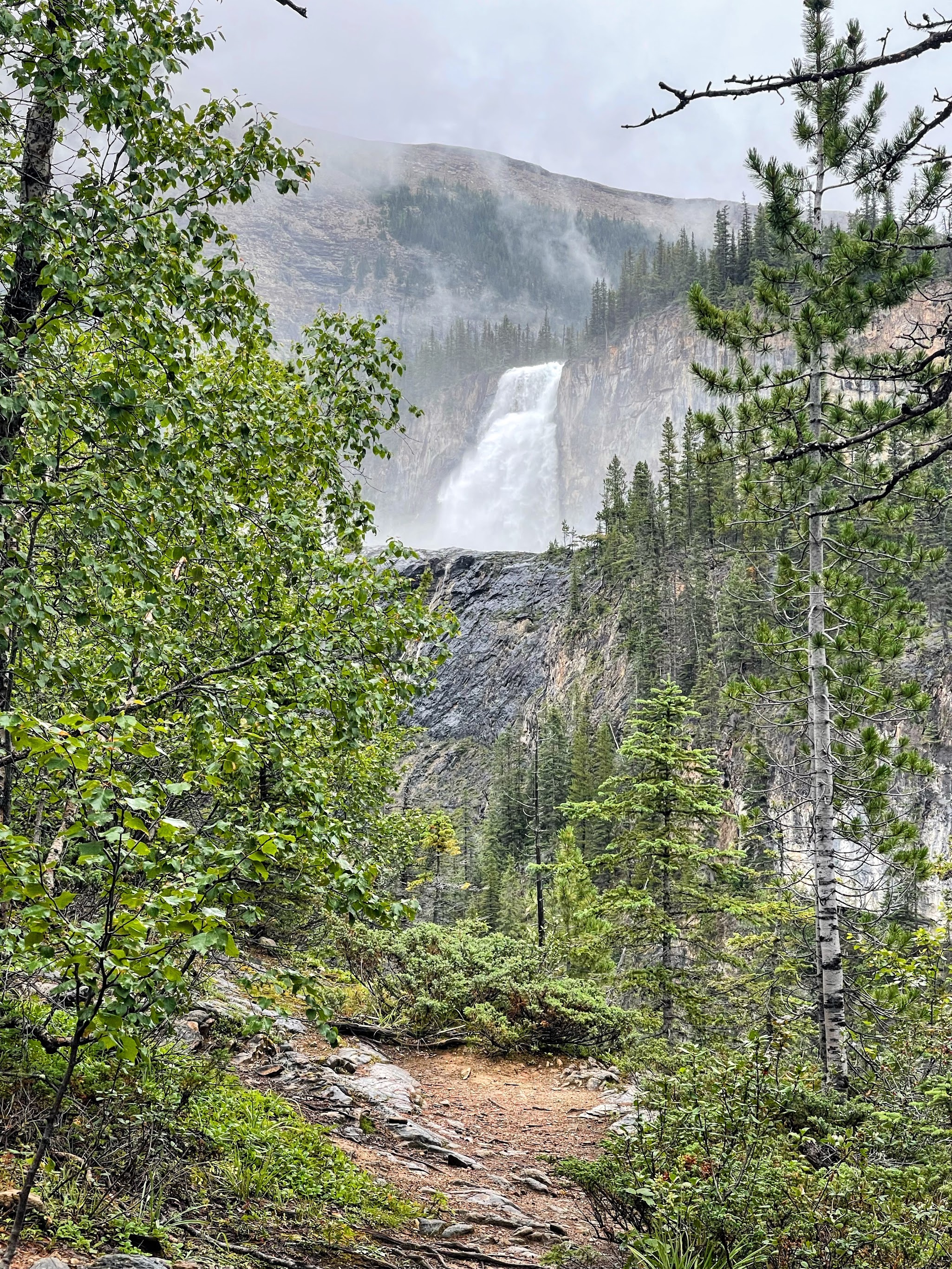
The first glimpse of the mighty Emperor Falls - we will return here on the way back
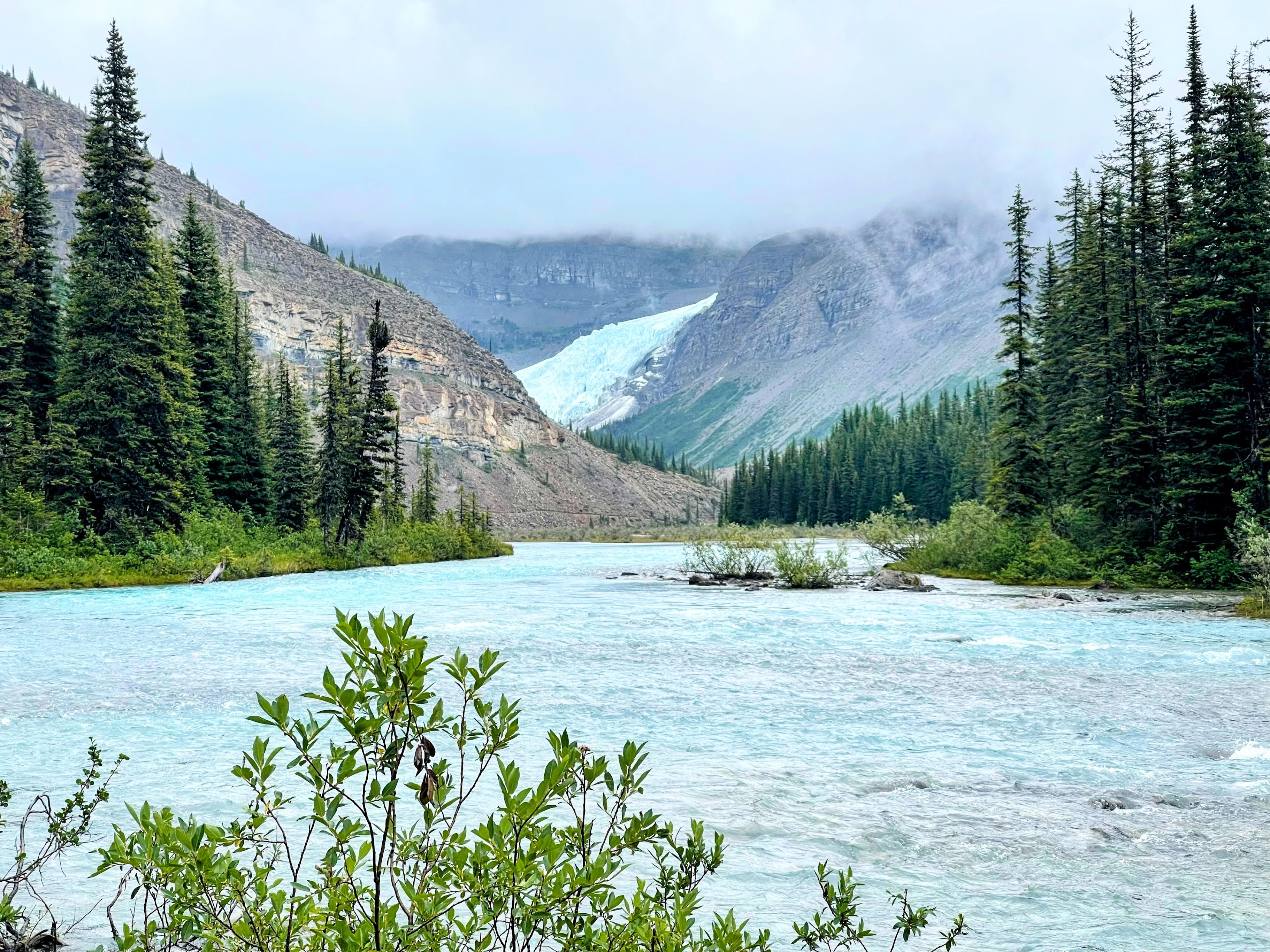
We had our first glimpse of the Berg Glacier from Emperor Falls Campground which sits just above the falls. Here the Robson River returns to a lazy flow.
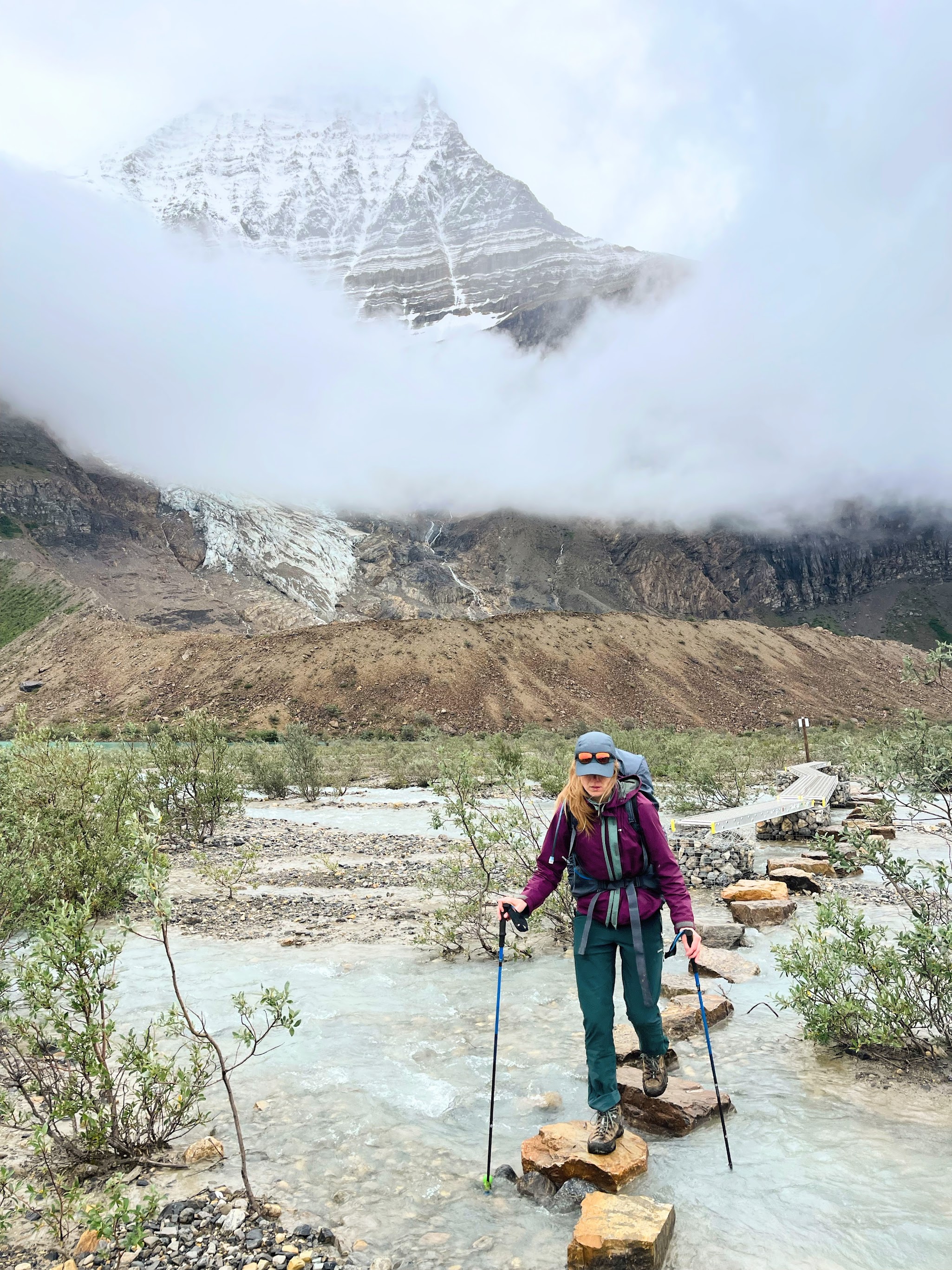
The last stretch to Berg Lake requires crossing numerous (sometimes awkward and slippery) stepping stones
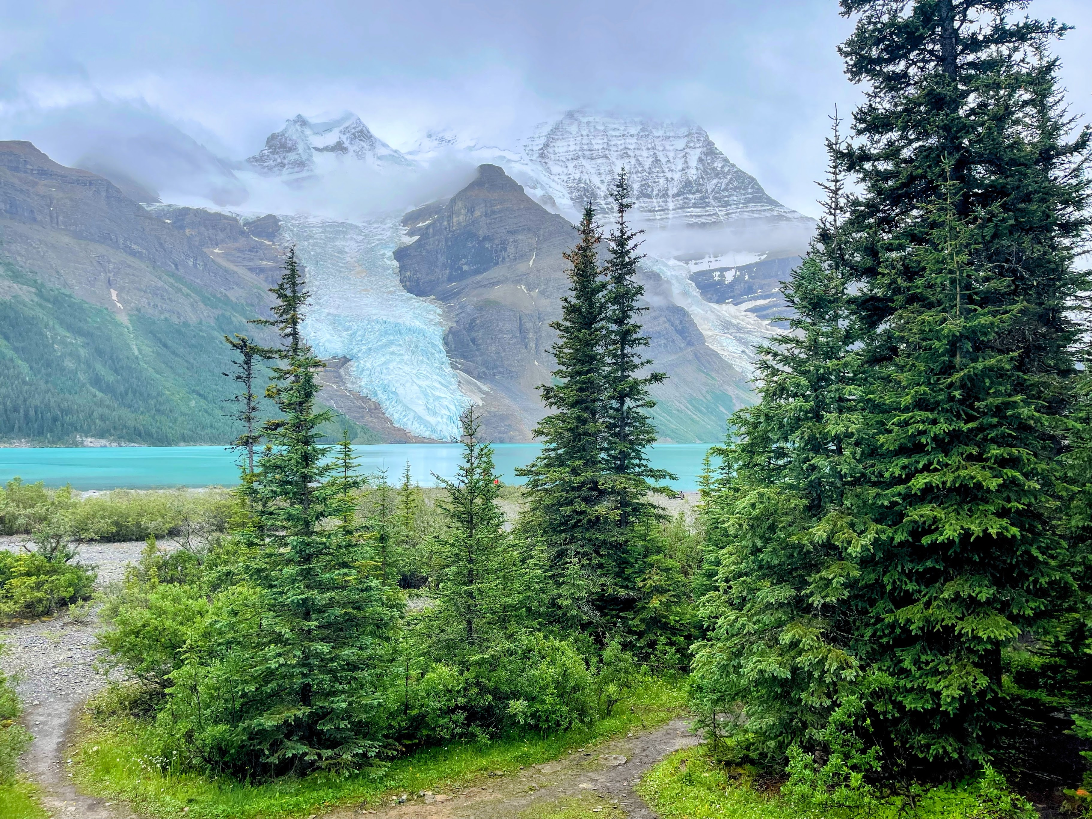
After 20km, we finally reached Berg Lake Campground. The picture has been taken from the steps of the Hargreaves Shelter which was full of wet and miserable hikers after the preceding three days of rain
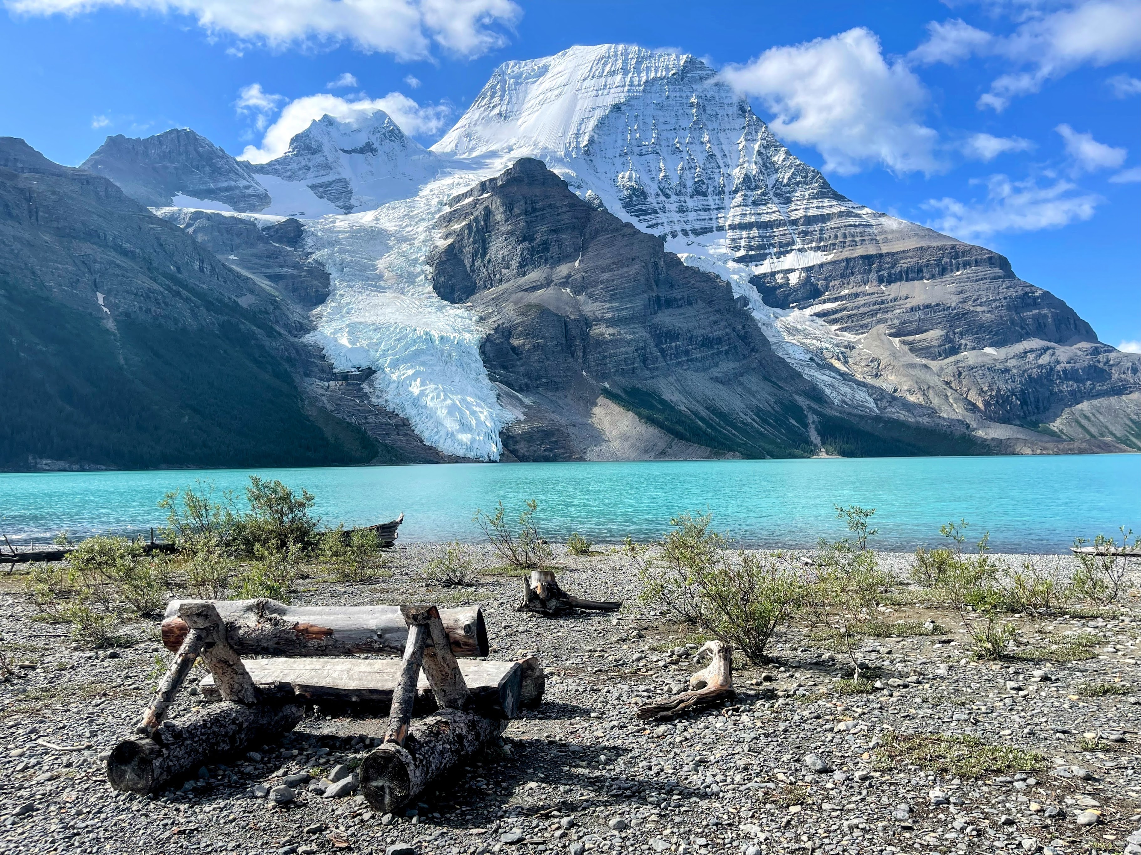
During our breakfast, the clouds cleared allowing us to see the full Mount Robson and Berg Glacier
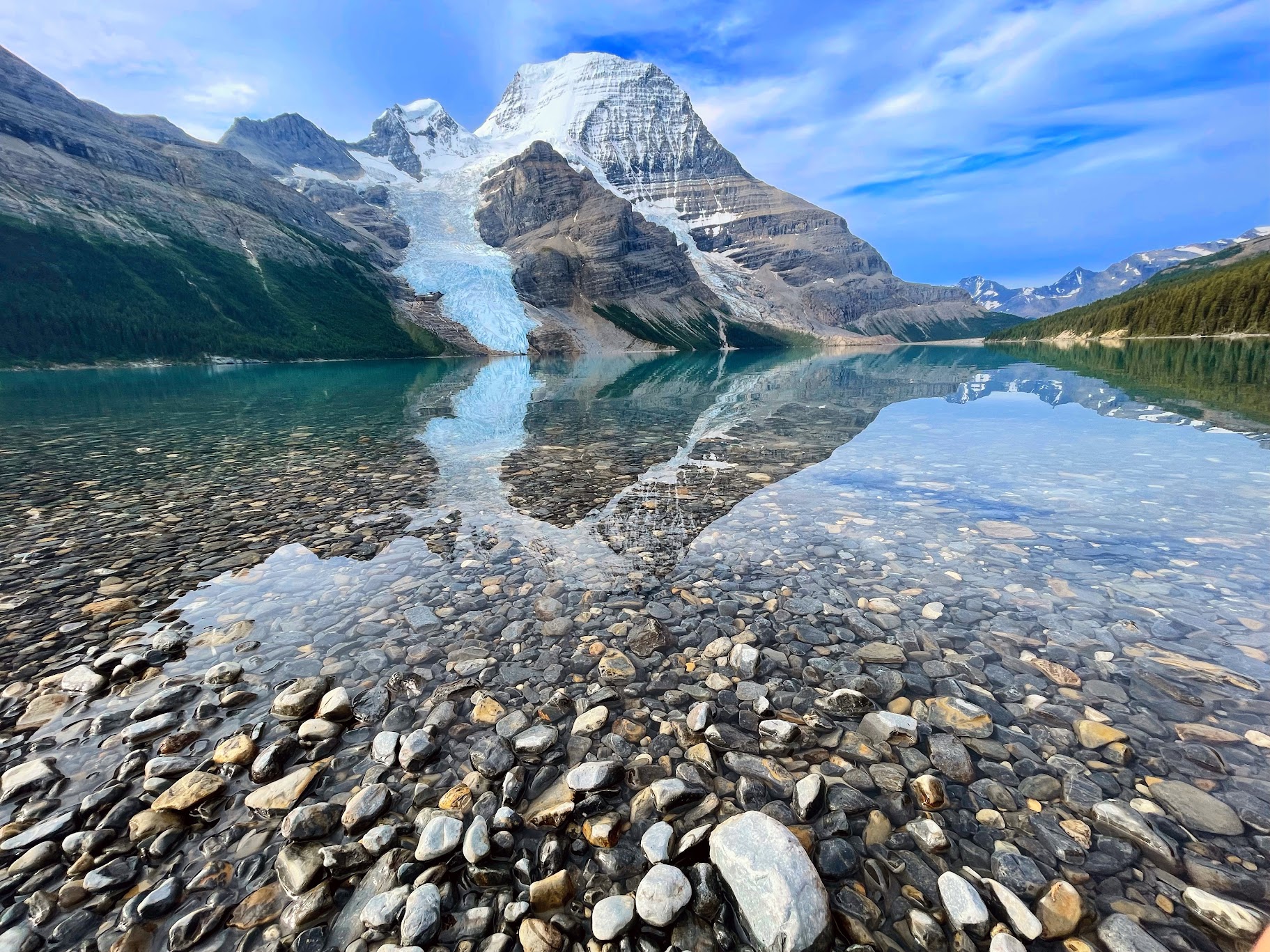
The water was too cold for a dip, but a great source to refill water bottles
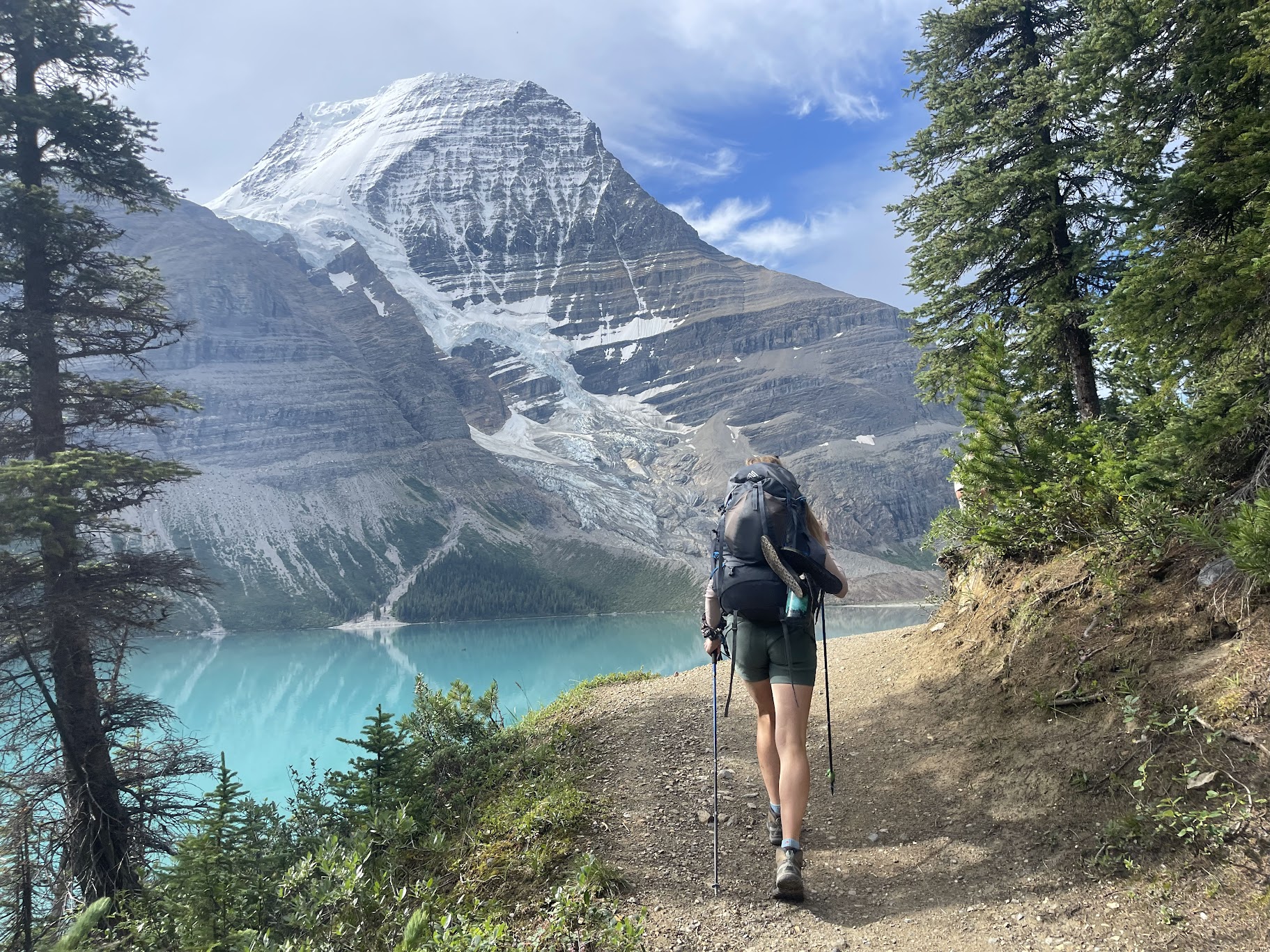
Our return leg from Berg Lake Camground taken three days later, follows the same trail back, but with better weather and arguably better views in this direction. Mist Glacier can be seen below Mount Robson here
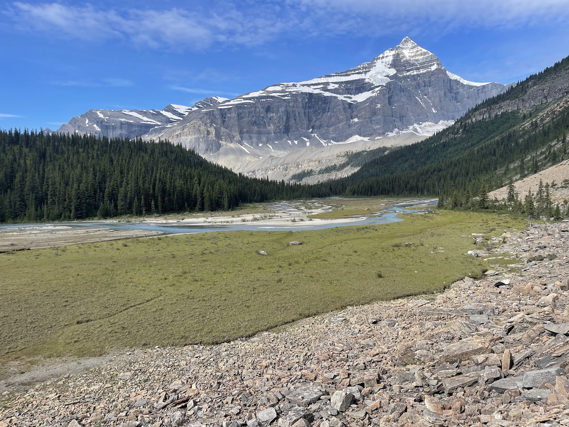
Rounding the corner away from Berg Lake, Whitehorn Mountain can be seen ahead. Emperor Falls campground sits just between us and the mountain
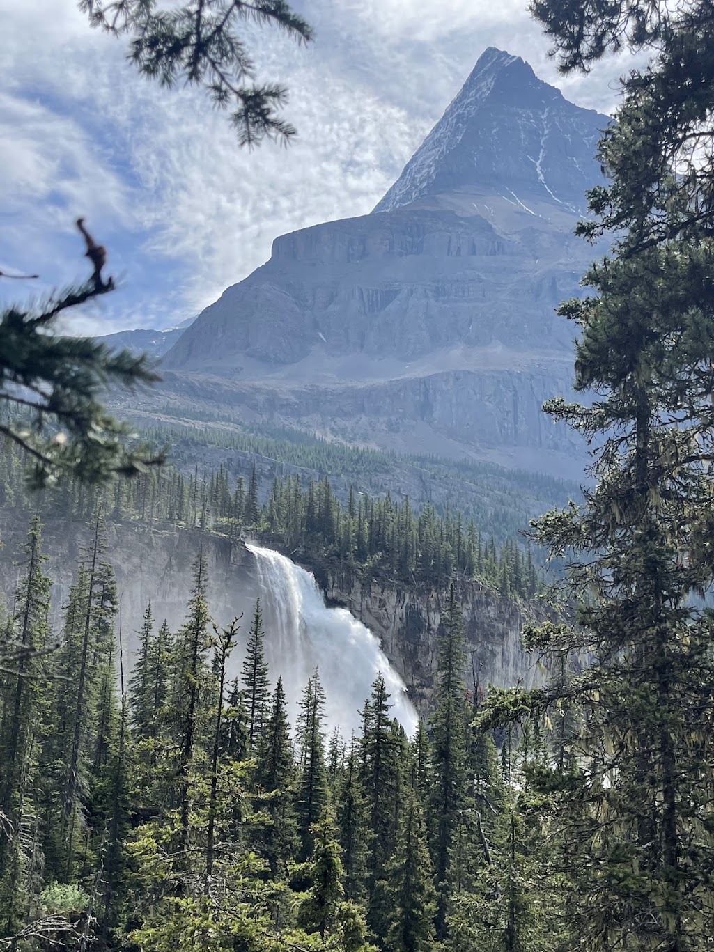
From a safer distance
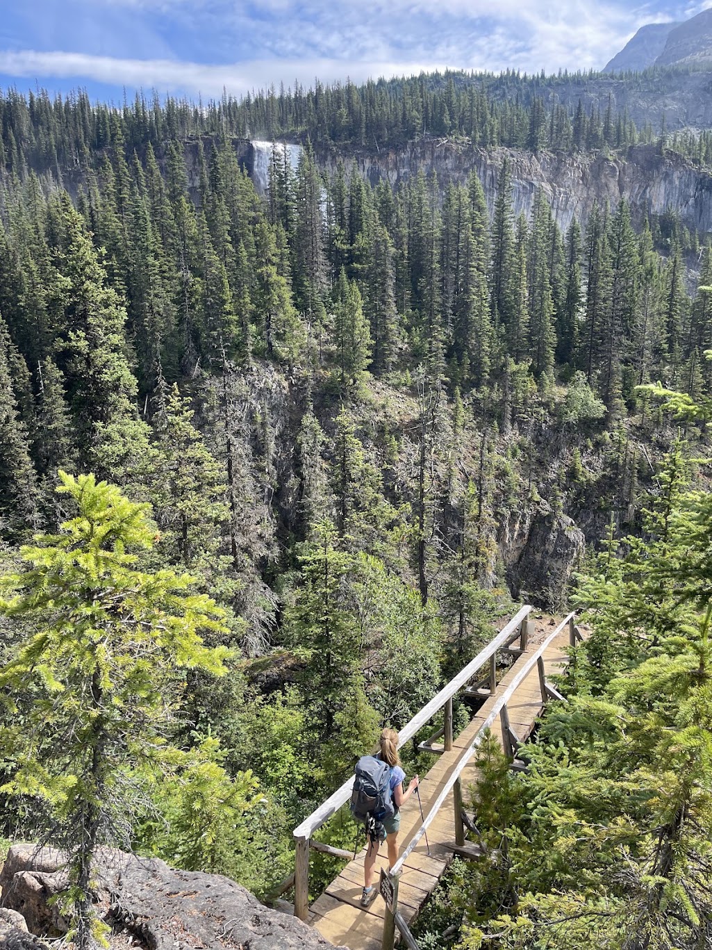
Crossing a bridge with Emperor Falls in the distance
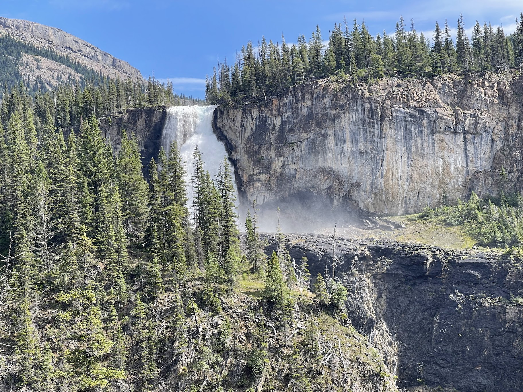
Another vantage point of Emperor Falls, looking back
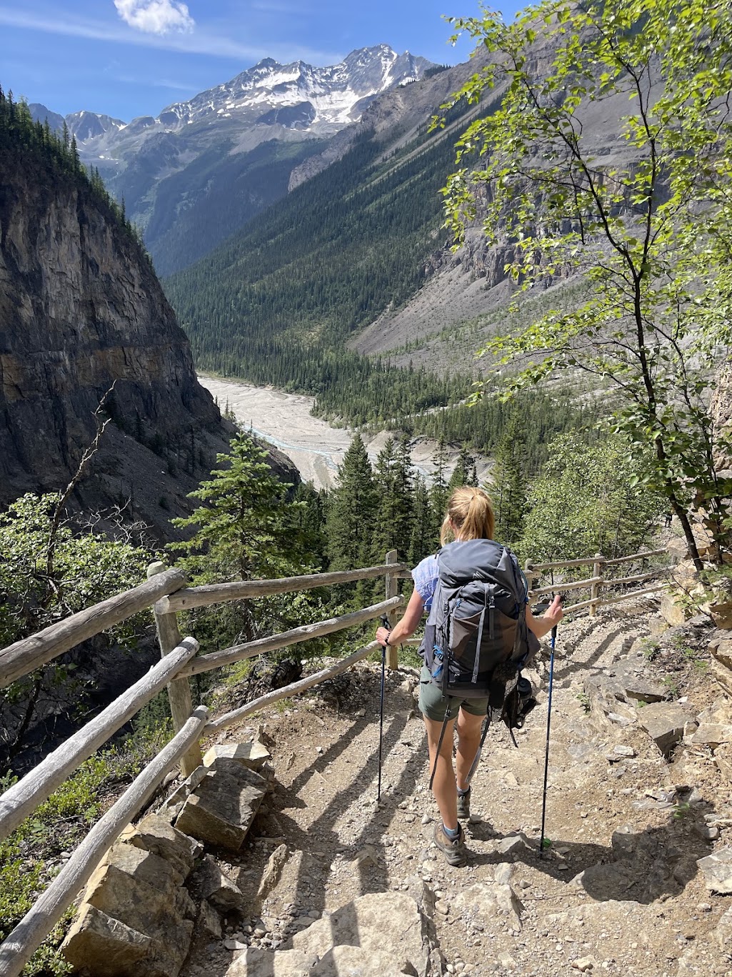
Descending past White Falls on the steep shale section. Kinney Flats is visible in the distance
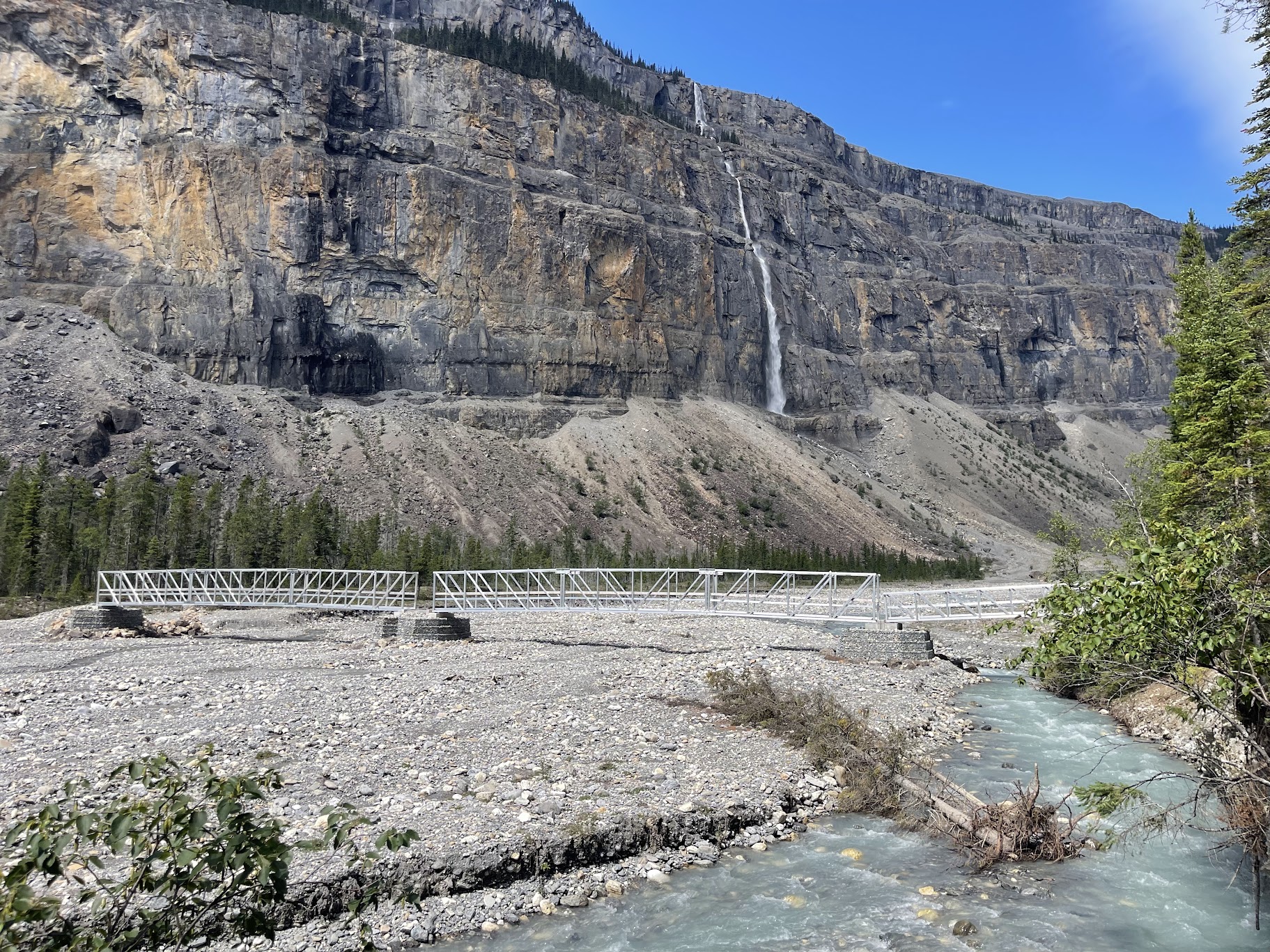
Entering the final stretch of the Valley of a Thousand Falls and crossing the separate tributary again
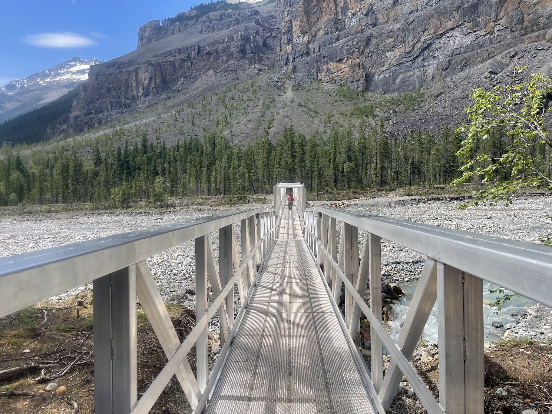
This bridge should stand the test of time
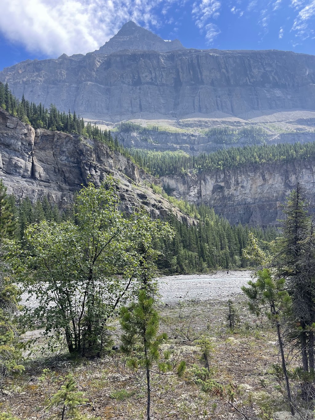
Looking up towards Mount Robson. At 3,954m, it is standing 3km above you from this spot
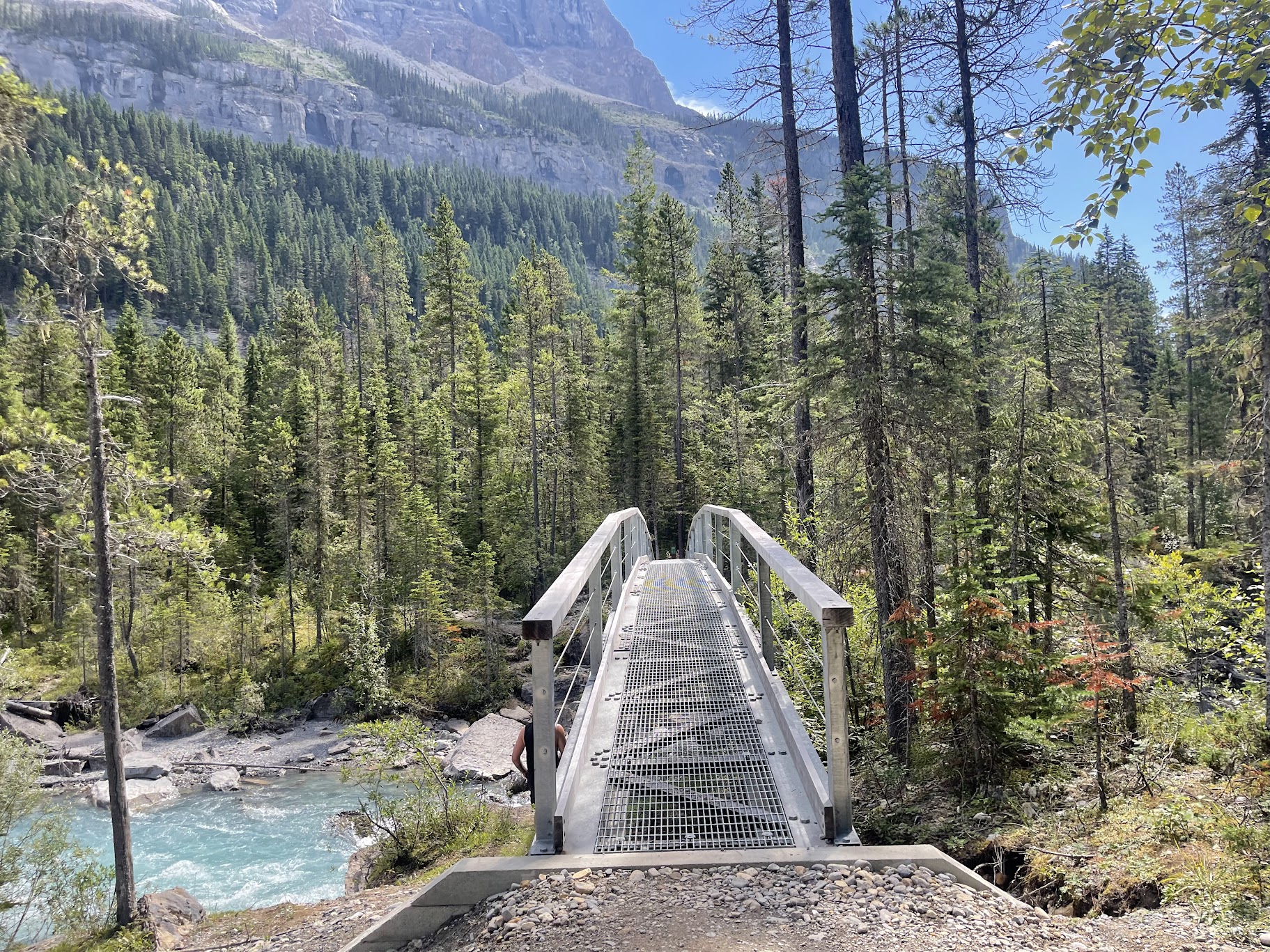
Crossing the bridge in to Whitehorn Campground - a nice spot for lunch
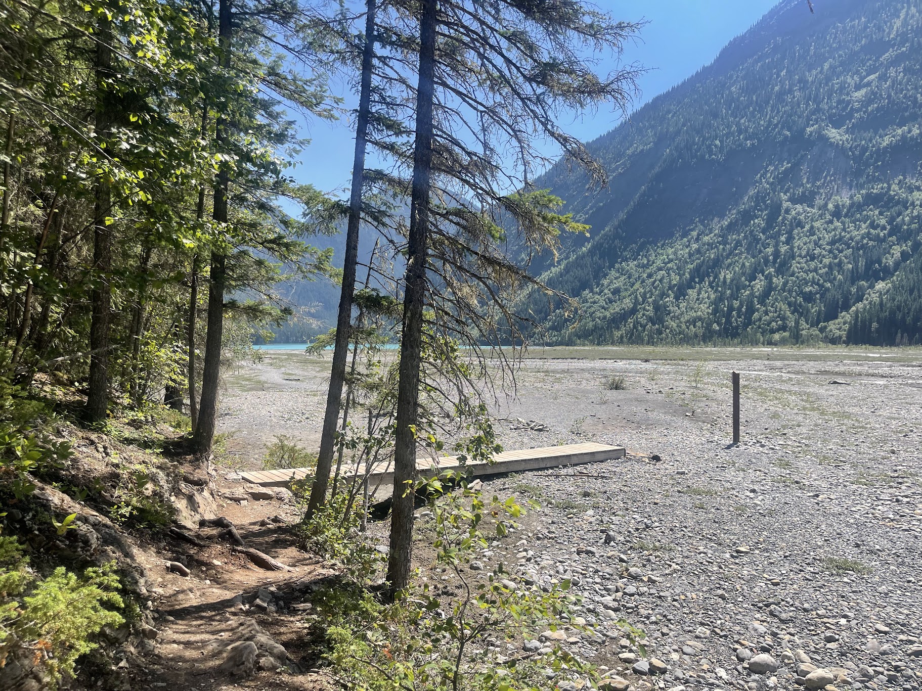
Returning via Kinney Flats. Our shoulders getting very sore by this point
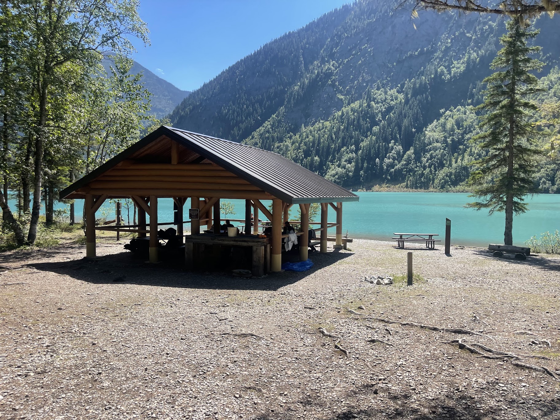
Kinney Lake Campground shelter
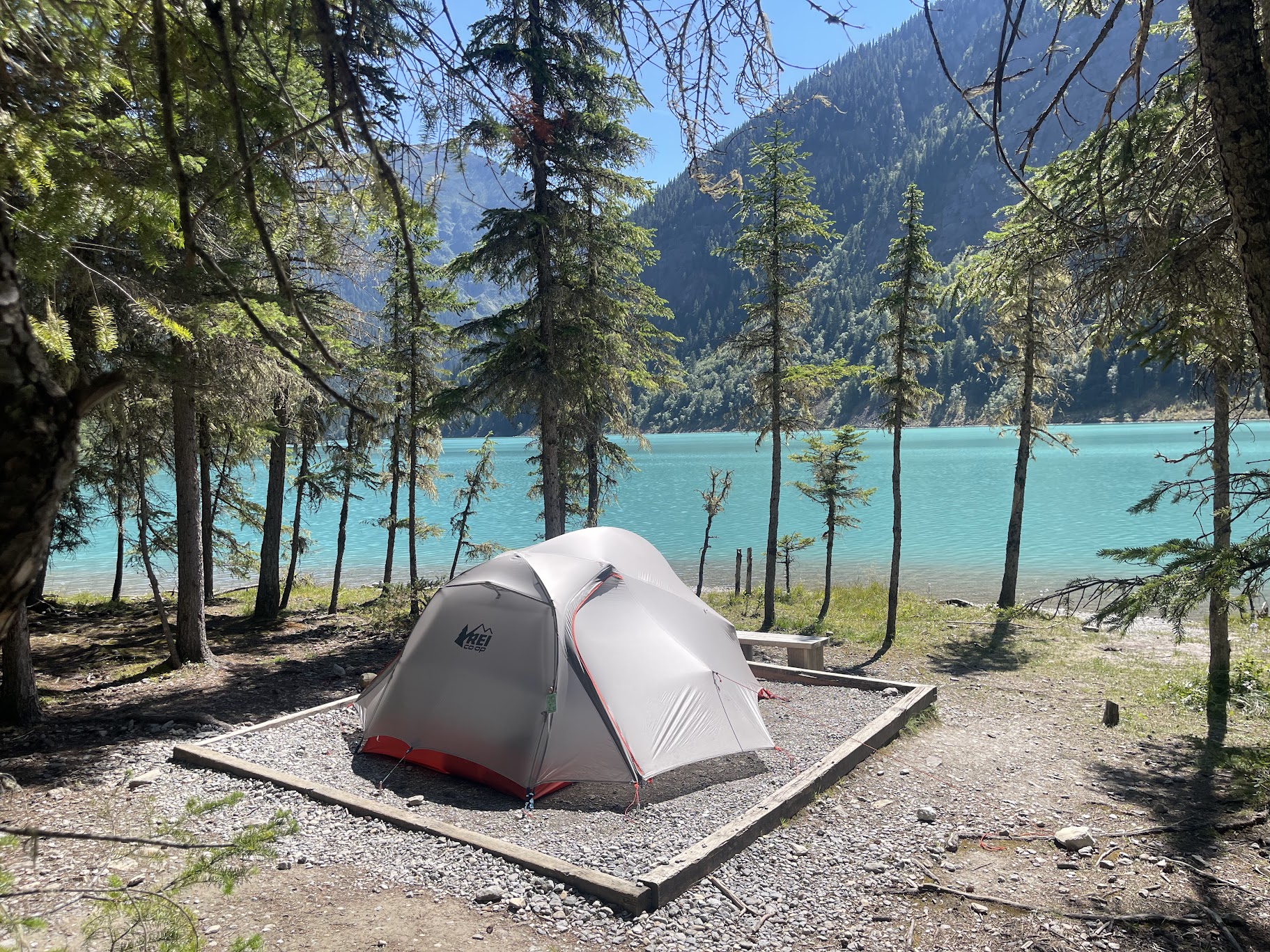
Very jealous of tent pad Kinney Lake Campground
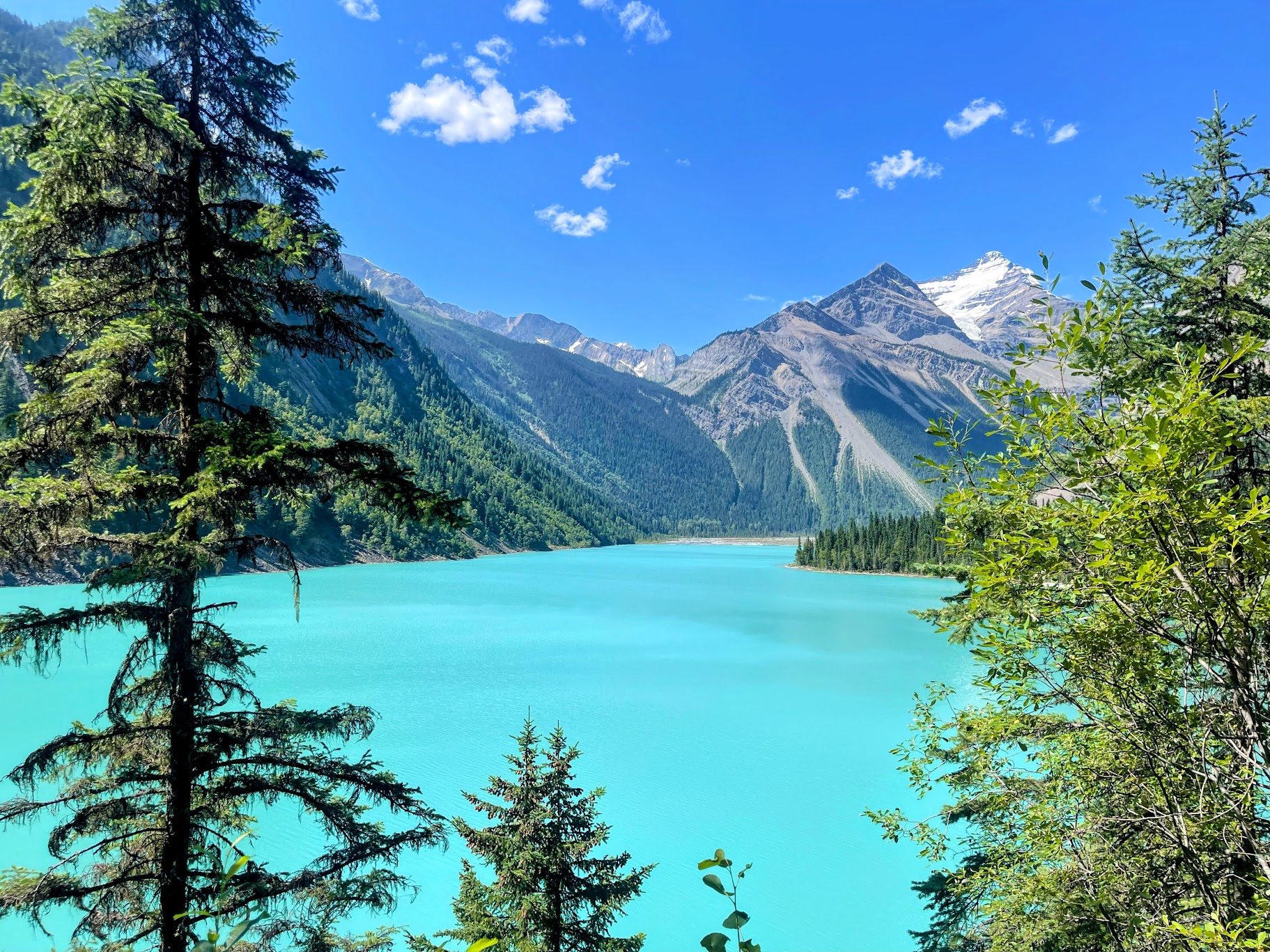
The sun makes all the difference at Kinney Lake
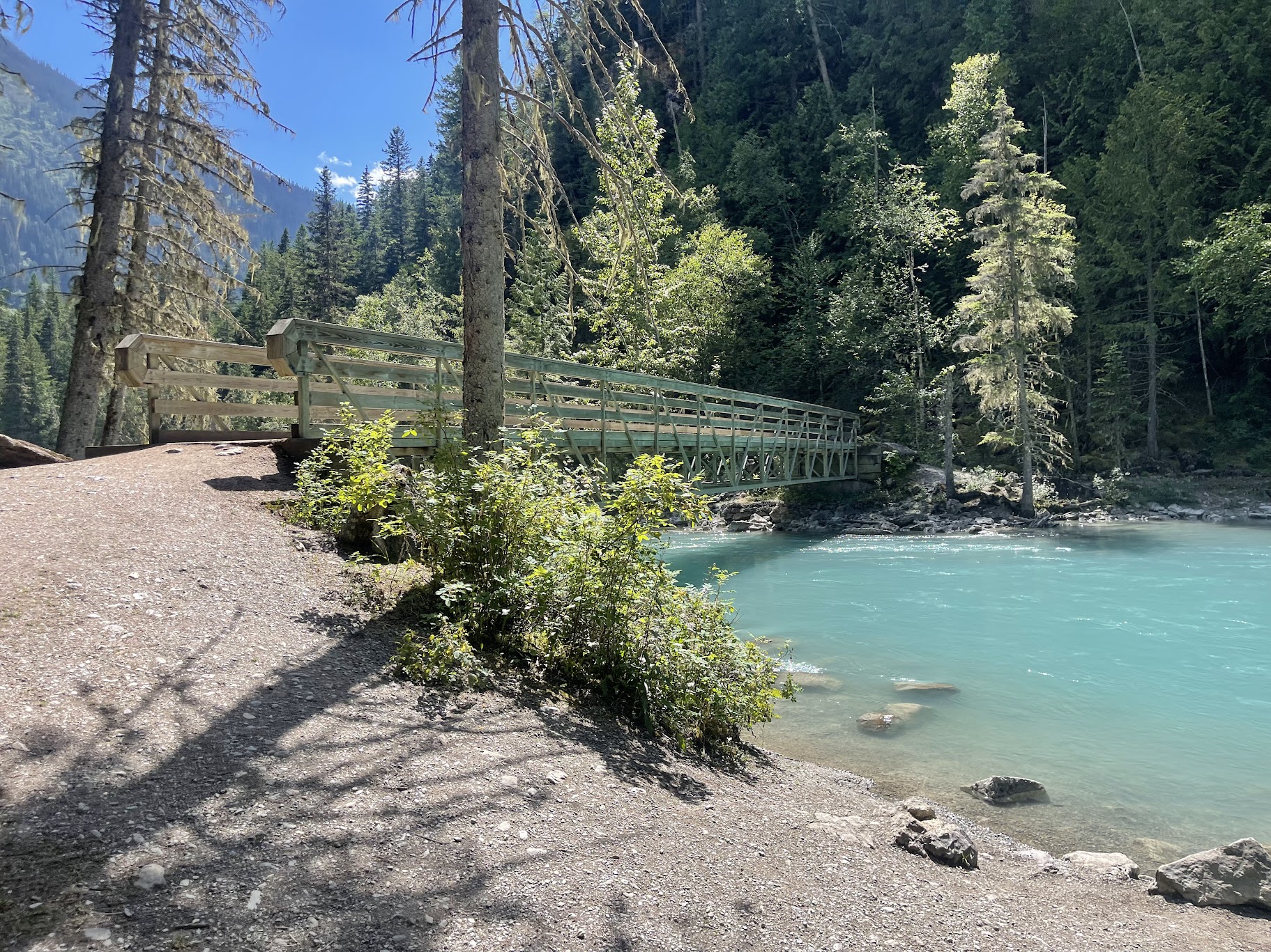
Leaving Kinney Lake
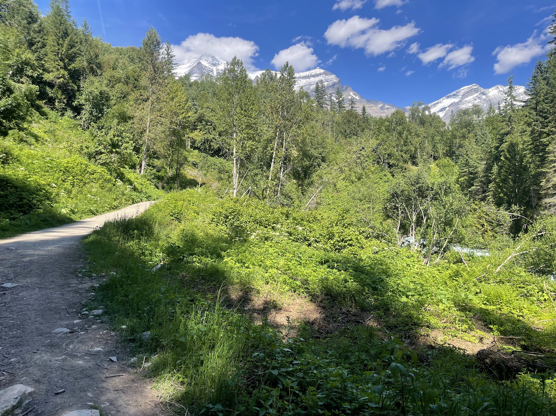
Looking back towards Mount Robson
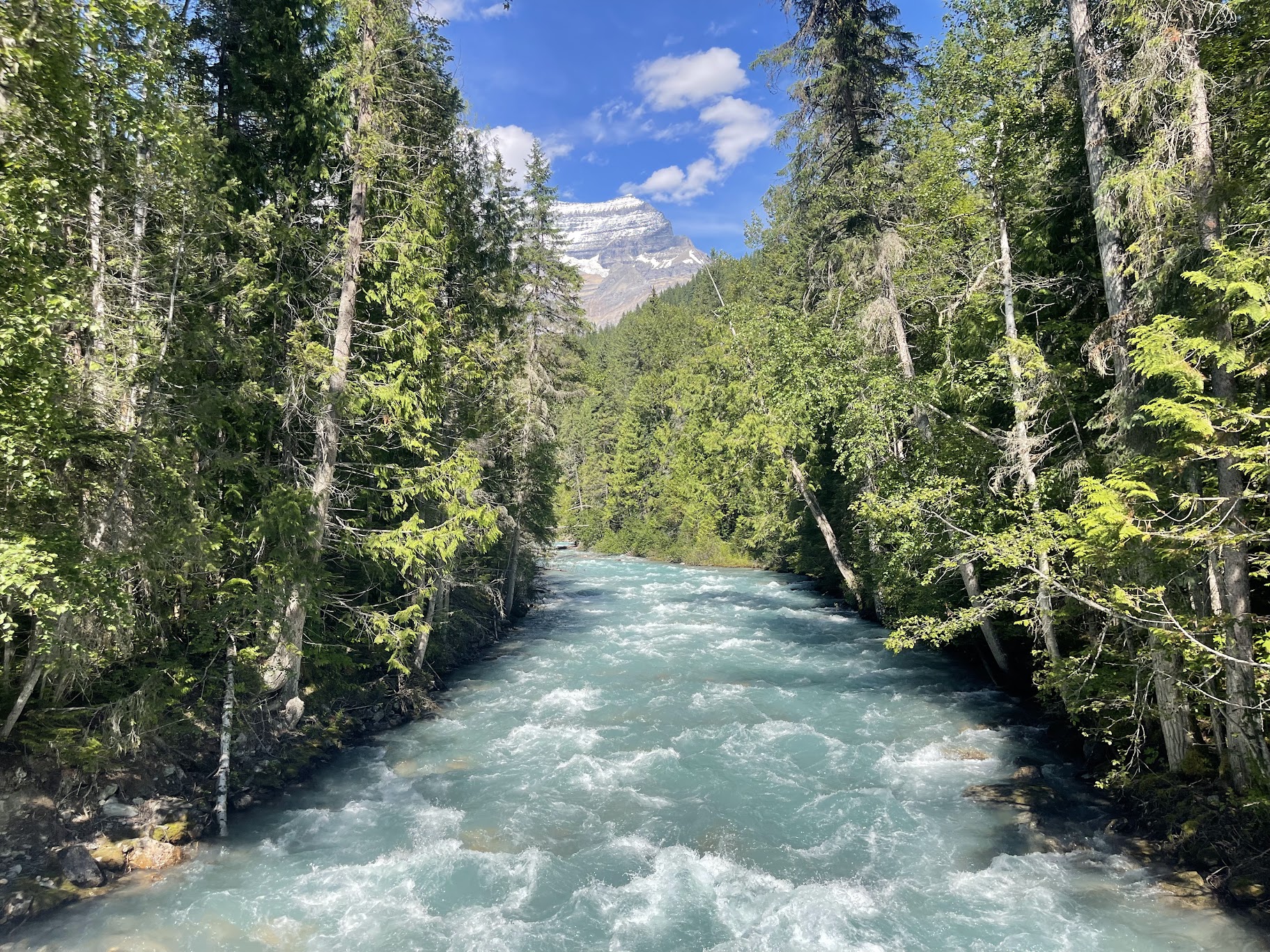
Crossing Robson River back to the car park to end a very memorable four day trip
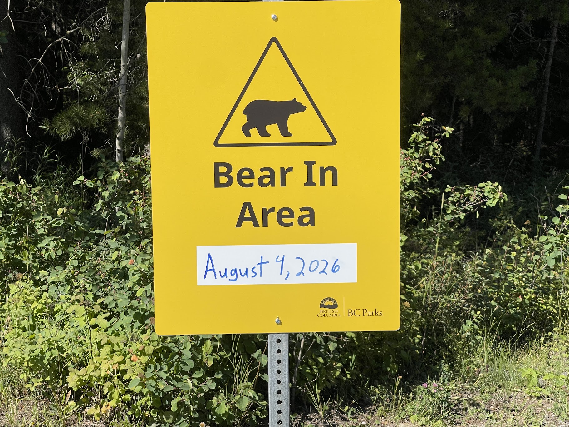
A reminder to always be 'Bear Aware' and never leave bags or food unattended
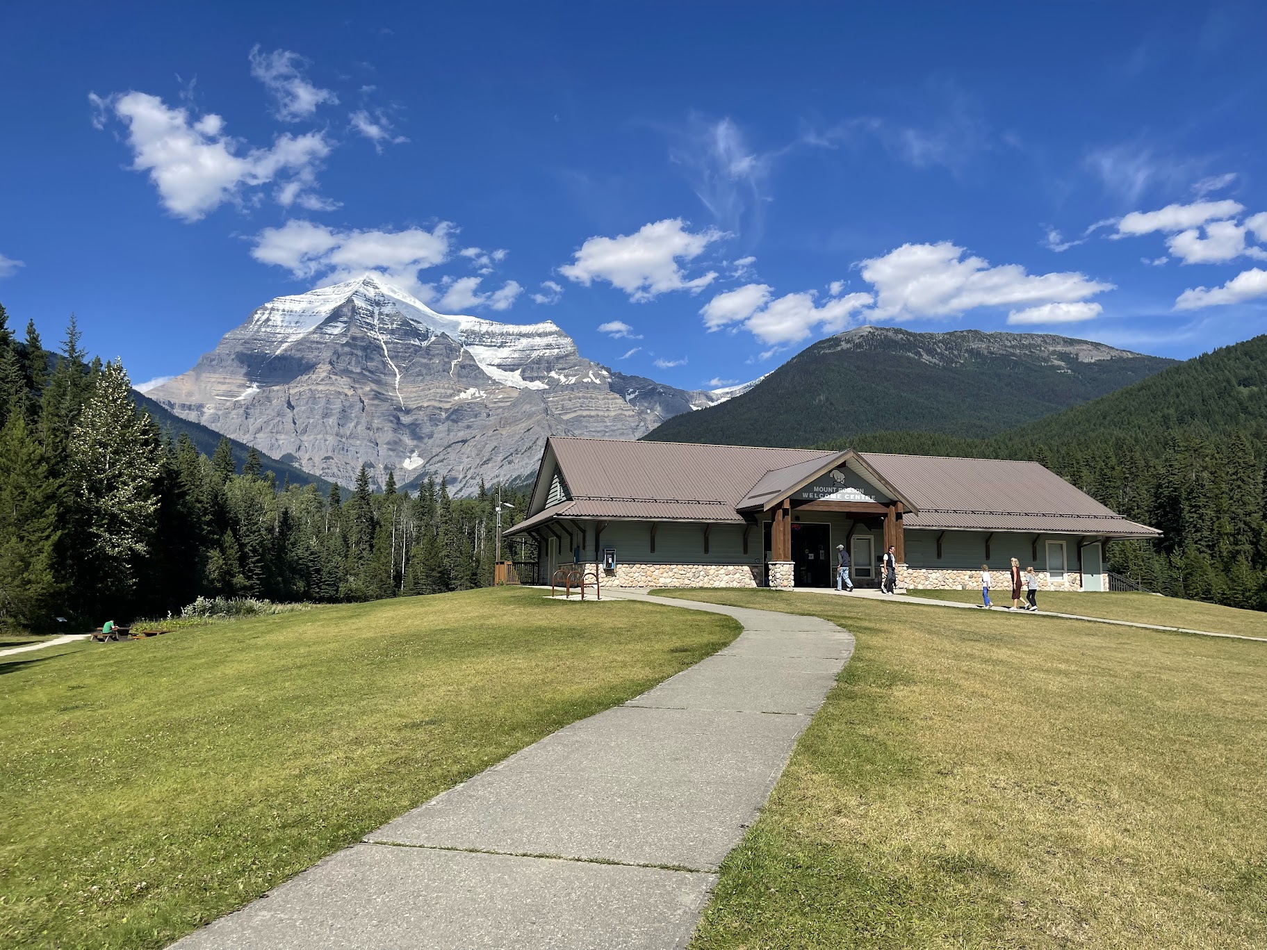
Mount Robson Visitor Centre
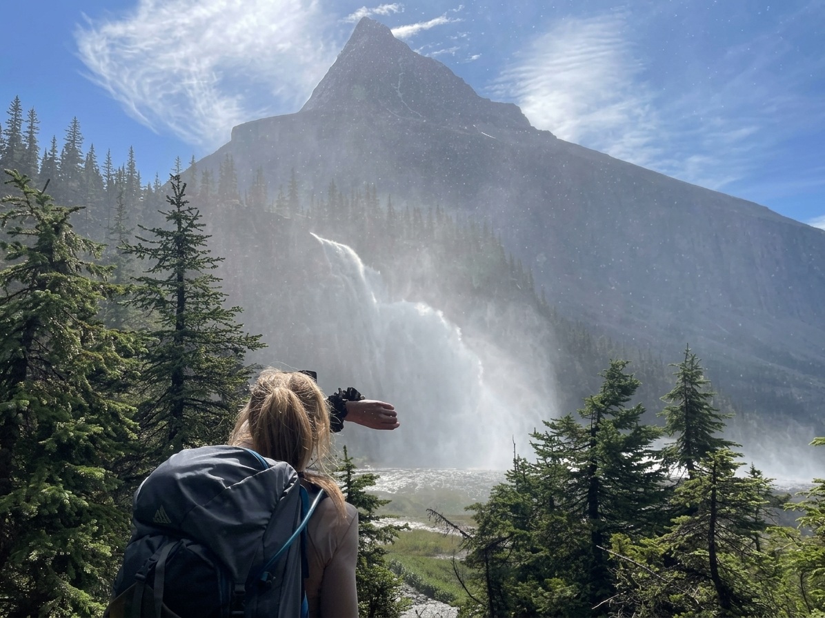
Looking up towards Mount Robson with Emperor Falls in the foreground. The wind wasn't working in our favour and was hard to get any closer without getting drenched