
Route: Portinscale to Bassenthwaite
Area: Northern Lake District
Date of walk: 7th December 2013
Walkers: Andrew and Gilly
Distance: 9.8 miles
Ascent: 700 feet
This walk was stage 2 of our Allerdale Ramble (click here for stage 1). We started from the centre of Portinscale and walked out of the village following the bank of the River Derwent until we crossed the river to walk into Thornthwaite Forest on the slopes of Dodd
We climbed up the forest paths to about 600 feet – a waste of time as there were no views whatsoever due to the low cloud and drizzle. In retrospect we wished we’d followed the lower path along the side of the main road and saved ourselves a lot of effort
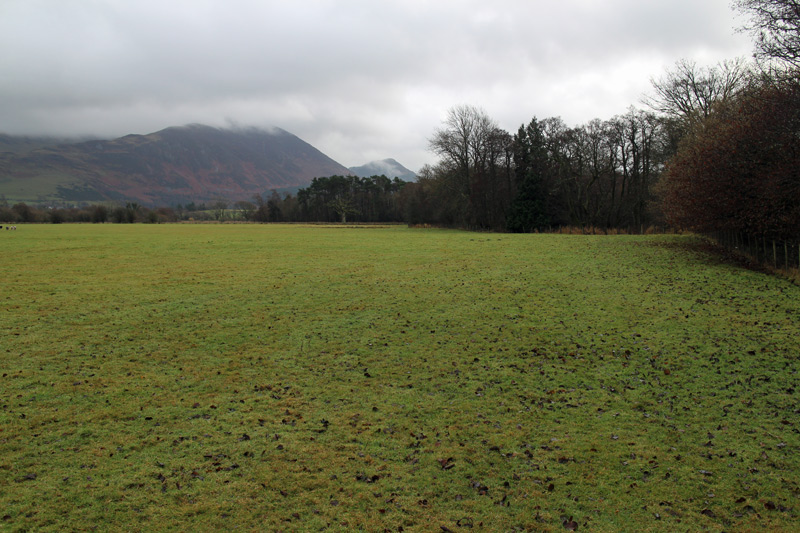
We then walked through the grounds of Mirehouse and to the shore of Bassenthwaite Lake, before walking across fields and woodland (some of which was rough and marshy) to the head of the lake, where we’d left Gilly’s car earlier
The weather was miserable, it rained most of the time and the surrounding fells were barely visible, but we’d had some exercise and were glad we’d made the effort
For other walks here, visit my Find Walks page and enter the name in the ‘Search site’ box
Click on the icon below for the route map (subscribers to OS Maps can view detailed maps of the route, visualise it in aerial 3D, and download the GPX file. Non-subscribers will see a base map)

Scroll down – or click on any photo to enlarge it and you can then view as a slideshow
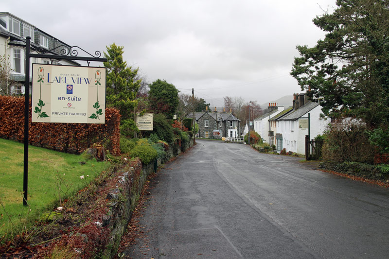
Leaving Portinscale

Lower third of Skiddaw fells
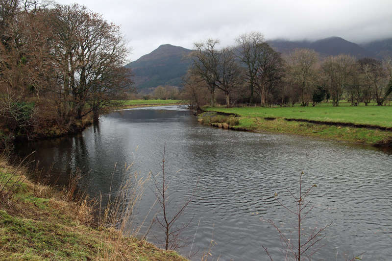
River Derwent

Dodd

Someone has stolen the North West Fells!
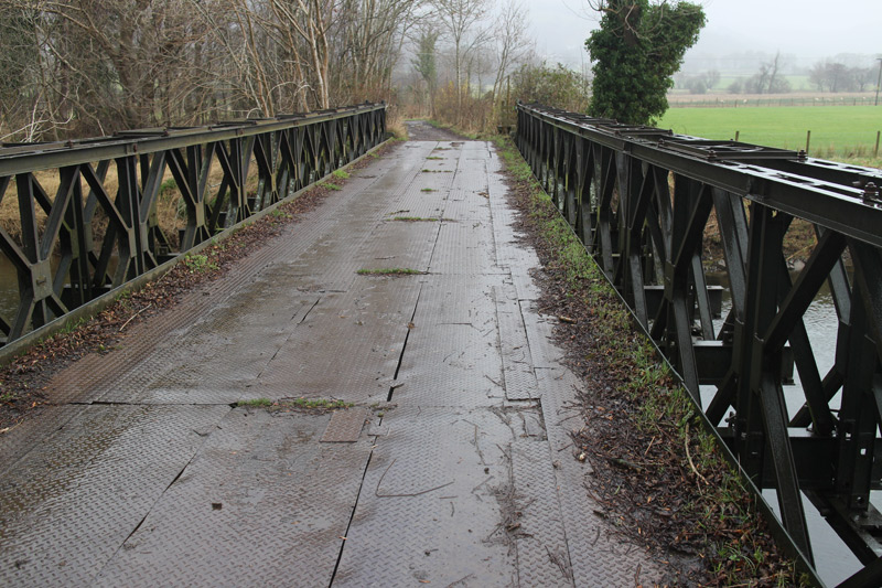
Crossing the Derwent
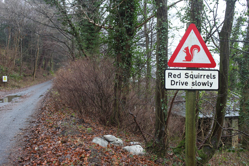
I didn’t realise they could drive

In Thornthwaite Forest on the slopes of Dodd

We can just make out the southern end of Bassenthwaite Lake

The higher of the two osprey viewpoints - the ospreys have flown back to Africa and I can’t say that I blame them

The recent storm put a few obstacles in our way
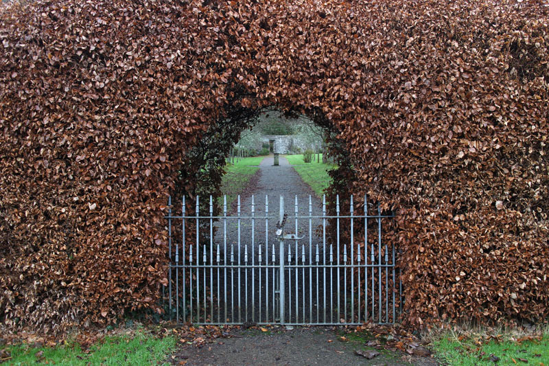
Walking through the lovely grounds of Mirehouse

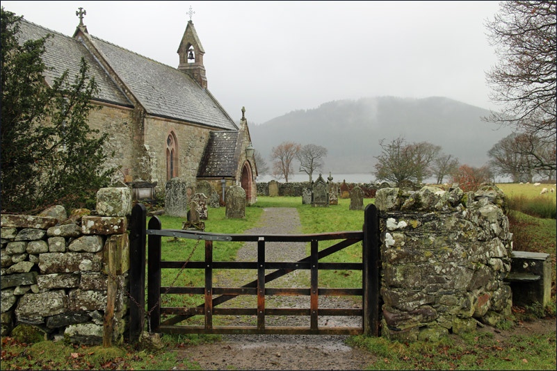
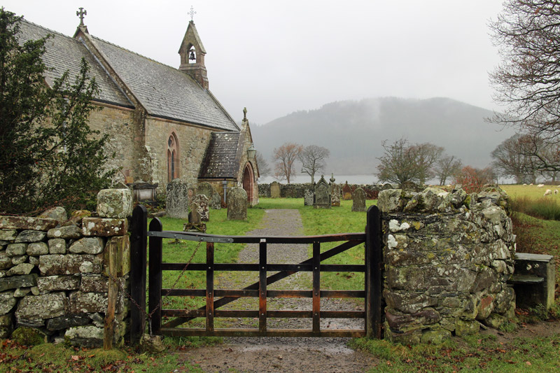
St Bega’s Church, in a wonderful setting overlooking Bassenthwaite Lake
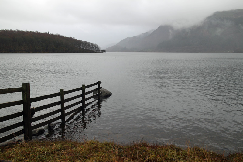
Looking south from the shore of the lake

And now looking north

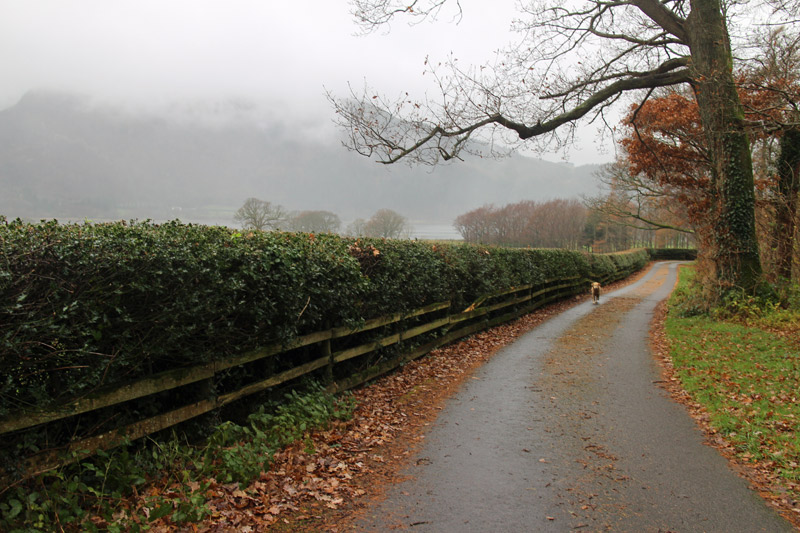
Bonnie
Looking back to Ullock Pike

North end of Bassenthwaite Lake, and the end of this leg of the Allerdale Ramble
