
Route: Bowscale Fell and Bannerdale Crags
Area: Northern Lake District
Date of walk: 30th November 2013
Walkers: Andrew
Distance: 6.5 miles
Ascent: 1,500 feet
I parked in the village of Mungrisdale. The foot of Bowscale Fell is on the edge of the village, and the climbing started immediately. It was a clear sunny day but a large band of cloud blew in and quickly spoilt the conditions
Having reached the top of Bowscale Fell it was an easy walk to the next fell, Bannerdale Crags, via a path which hugs the edge of the crags, giving dramatic views down into Bannerdale. This was a thrilling section of the walk
I then made a pathless descent to pick up the path which runs alongside the River Glenderamackin and back into Mungrisdale. I always enjoy time spent in these remote Northern Fells and today was no exception
Don’t miss the sunset photo at the bottom of the page!
Click on the icon below for the route map (subscribers to OS Maps can view detailed maps of the route, visualise it in aerial 3D, and download the GPX file. Non-subscribers will see a base map)

Scroll down – or click on any photo to enlarge it and you can then view as a slideshow

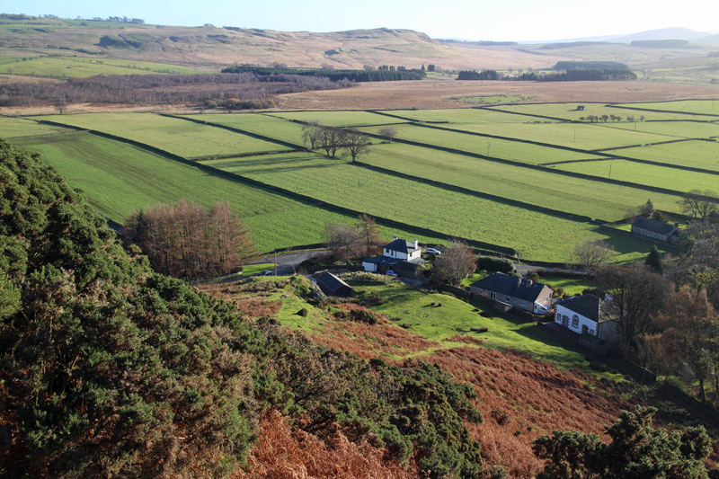
After leaving Mungrisdale village, the start of the climb
Looking back down to the start

The Tongue
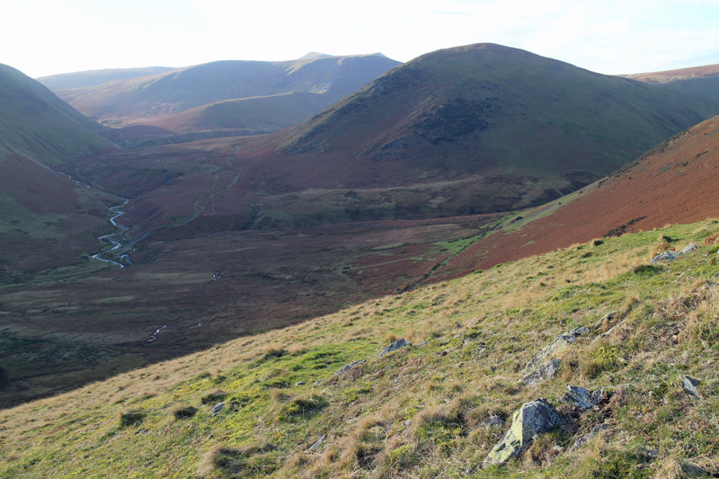
I’ll be returning via the River Glenderamackin on the left

Looking back towards the Pennines

Looking north to Carrock Fell - it’s clouding over

Blencathra

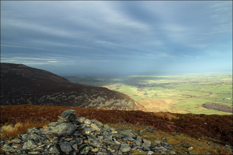
Looking towards the Solway Firth as the sunshine gradually disappears

Silhouette of Blencathra

Poor light from now on - this is looking towards Bowscale Fell, with Blencathra beyond

The path hugs the edge of Bannerdale Crags

Looking down the crags into Bannerdale

Blencathra from Bannerdale Crags

Descending from Bannerdale Crags, there’s a faint path at first but it soon disappears
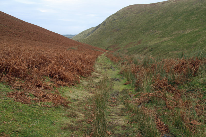
Eventually I reach the main path running alongside the River Glenderamackin

This part of the path has almost been washed away and I doubt it will survive much longer

Back in Mungrisdale

Later that day, on the other side of the country in East Yorkshire, there was a spectacular sunset
