
Route: Wold Newton
Area: Lincolnshire Wolds
Date of walk: 19th November 2020
Walkers: Andrew and Gilly
Distance: 6.3 miles
Ascent: 600 feet
Weather: Sunny
Wold Newton is a small isolated village sitting in an elevated valley at the north of the Lincolnshire Wolds. We parked at a bend in the road at the far north end of the village, where there are several free spaces by some old barns. Another good starting place would be at the entrance to The Valley, a short distance to the south of the village
A waymarked post set us off in the right direction, heading north across the fields and past a chalk pit. At Petterhills Fox Covert, where the path was a sea of mud, we turned right to head towards the eastern edge of the wold. As we walked towards Hawerby Hall Farm there were huge views on our left across the coastal plain and we could clearly see the North Sea in the far distance
Beyond Hawerby we continued south, enjoying more of the big views, until we reached Beesby Wood. There’s a choice of paths here, and we chose to follow one down through the wood which joins up with the Wanderlust Way, a long distance path. The path took us beside Beesby Wood and across the fields, then descending to a wood known as The Valley. The path took through the middle of the wood and brought us out at the lane leading into Wold Newton. We could have followed the lane, but chose instead to follow a public footpath above it. This can be found after walking through the farmyard of South Farm. We soon arrived at the village church, which can be accessed by footpath only
Although the footpath continues beyond the church we chose to descend into Wold Newton and walk back along the village street. As we did so we noted the names on the cottages, many of which are named after the original tenants’ jobs on the farm estate – Ploughman’s Cottage, Groom Cottage and Shepherd’s Cottage to name but three. We arrived at the end of the village to complete our circuit and an excellent walk
Click on the icon below for the route map (subscribers to OS Maps can view detailed maps of the route, visualise it in aerial 3D, and download the GPX file. Non-subscribers will see a base map)

Scroll down – or click on any photo to enlarge it and you can then view as a slideshow

The start of the walk from North Farm at the northern end of Wold Newton

Having passed by an old chalk pit we walk north along the wold...


Petterhills Fox Covert ahead - our path will skirt around the right hand side of it

Looking into the wood from a very muddy path beside it

Looking back to the fox covert as we follow the northern section of the route

Our path will take us through Target Plantation, which is in the background

Beyond the plantation, we turn right at these trees to walk along the edge of the wold

Looking back along the path

Huge views from the wold over the coastal plain

Hawerby Hall Farm ahead

More of that view towards the North Sea

We pass through the farmyard of Hawerby Hill Farm

We pass above Hawerby Hall

Another view over the coastal plain and out to sea, with a large ship on the left


We descend gently down the wold and will turn right at the hedge mid-picture

A change of direction as we aim west towards Beesby Wood

There's a choice of paths here - we descend through the wood, passing by a memorial bench. The notice bears some information about this ancient wood, which is best appreciated from early spring

We join a path which runs beside Beesby Wood

We're now on the Wanderlust Way

Looking towards Stock Furlong on our right

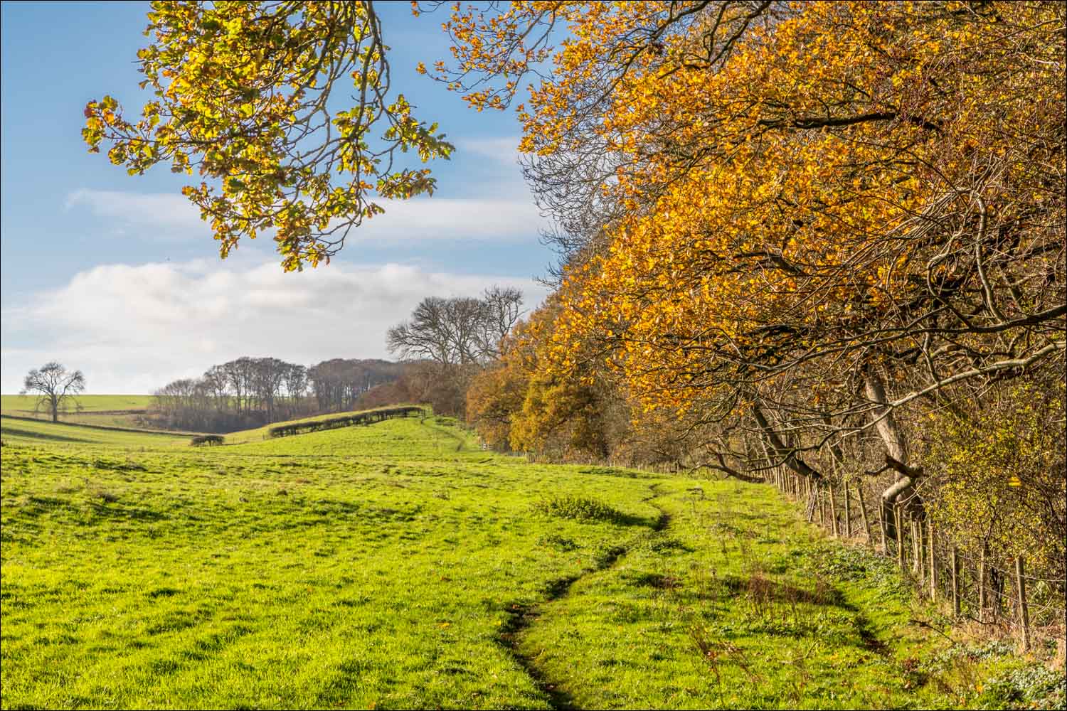
The line of trees ahead is The Valley, and will mark the start of the return to Wold Newton

Looking back along the Wanderlust Way

The Valley....

We follow the delightful path through The Valley

Beyond the wood we follow a path above Wold Newton village - this path leads into the village but we carry on to the left in order to see the village church, which can only be accessed via a footpath

The village church, whose full title is All Saints Wold Newton with Hawerby-cum-Beesby

We pass through the lych gate of the church and walk into Wold Newton

Looking back towards the church

A short stroll along the village lane, and the end of the walk is just around the corner

Earlier this week, a robin in the garden...

...and a goldfinch and blue tit
Follow the link for more walks in Lincolnshire (26)
