
Route: Louth
Area: Lincolnshire Wolds
Date of walk: 22nd November 2020
Walkers: Andrew and Gilly
Distance: 8.8 miles
Ascent: 800 feet
Weather: Mostly sunny
Louth is an historic Georgian market town, and is well worth a visit in its own right. In the centre of the old town is St. James’s Church, a magnificent and widely admired example of church architecture with a 16th century spire soaring to 295 feet, making it the tallest parish church spire in England. We parked in one of the side streets by the church and walked away from it along Westgate, admiring the old Georgian townhouses as we did so. At the edge of the town there’s a choice of two paths – a lower path by the banks of the River Lud and a higher one along Hubbard’s Hills beside the golf course. By accident rather than design we chose the higher one, which looks down on the alternative path
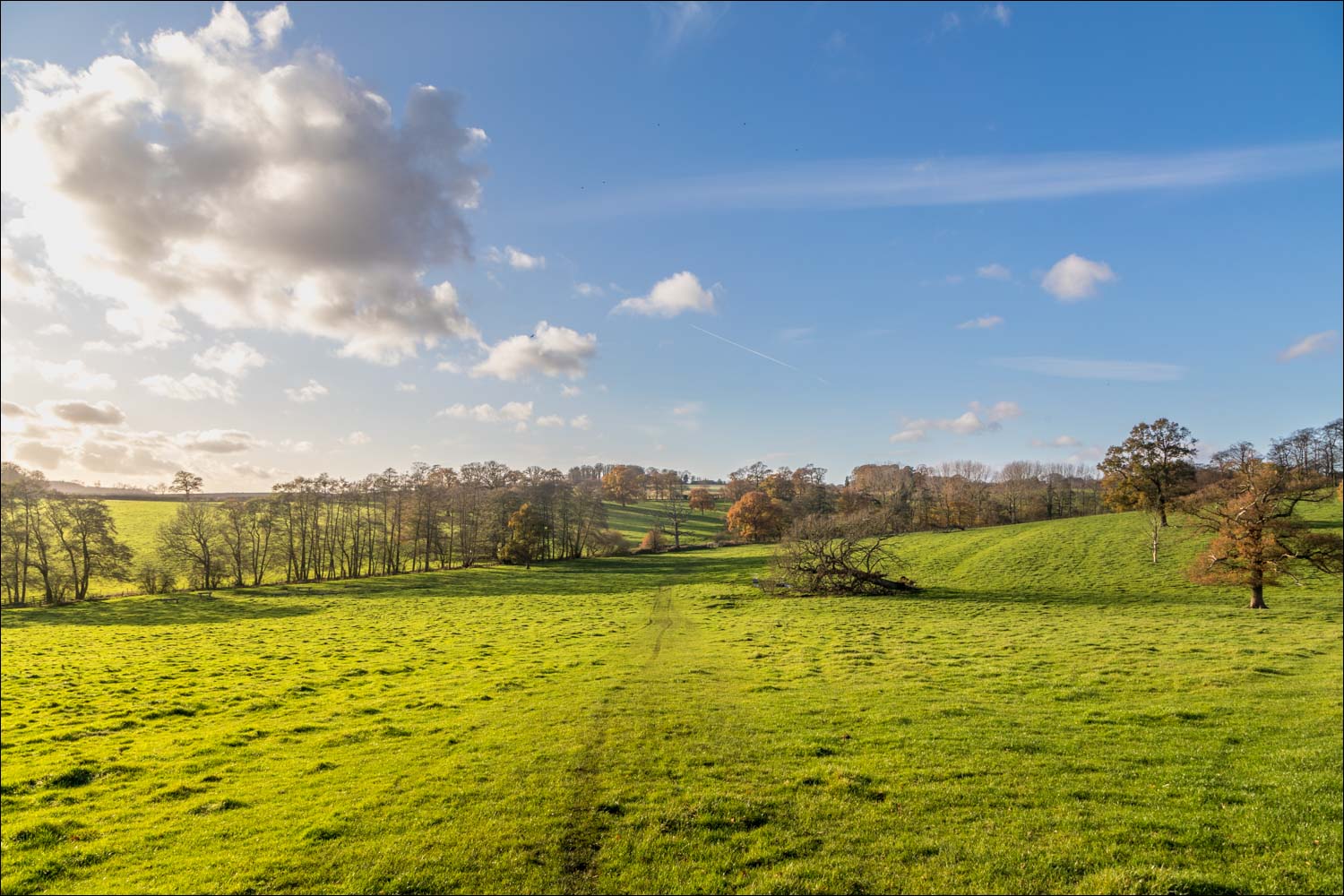
On reaching the Hallington road we walked under the bypass and joined a path through the fields which took us onto the wolds. There were good views back to the spire of St James’s Church on this section of the walk, as well as the Lincolnshire coast in the far distance. After a very short road section we turned off to follow a permissive footpath past Jack’s Furze and down to the A157. We crossed the road to enter into Welton Vale, a wooded valley, and home to some fine specimen trees
We climbed out of the vale and past a disused quarry, following a path into South Elkington passing by All Saints Church, which is attractively situated by the village pond. The font and tower of the village church date from the 15th century. We followed a path through a field, and had some difficulty in locating a stile leading into the adjoining woodland. There’s no path leading to it, and it’s very hard to see. For anyone following this route, the best tip is to keep to the higher ground in the field, then descend steeply to the fence at the edge of the wood
After a short woodland section we followed a path beside Icehouse Plantation and through some beautiful parkland before climbing up to cross the A631. We walked through Cow Pasture Wood and past a couple of farms to enter Louth, where we walked back along Westgate to end a delightful walk
Click on the icon below for the route map (subscribers to OS Maps can view detailed maps of the route, visualise it in aerial 3D, and download the GPX file. Non-subscribers will see a base map)

Scroll down – or click on any photo to enlarge it and you can then view as a slideshow


St James's Church Louth at the start of today's walk...

We walk away from the church along Westgate, admiring the fine old Georgian buildings along the way

We enter into Westgate Fields at the edge of the town

We follow the path through Westgate Fields, with the River Lud on our right

Beyond the town, we take the higher path on the left - there is an alternative route which can be followed via the lane below

I can't say which of the two paths is to be preferred, but we were content with our choice

Looking down towards the lower path

Lovely light in the woodland along Hubbard's Hills...


Having crossed below the bypass, we're in open countryside now

We climb up towards the top of the wold

We turn left at this crossroads of paths

Looking back to the spire of St James's Church Louth

A path across this ploughed field leads to the Hallington lane

Another view back to Louth from the short section along the lane

We follow a permissive footpath beside Jack's Furze

Another view of St James's Church, Louth

We enter into Welton Vale


We climb out of the vale

Looking back to Welton Vale

The path takes us around a disused quarry

We pass by this memorial bench

We descend into Kirk Vale

Beyond Kirk Vale we pass by All Saints Church, South Elkington

The start of the return leg to Louth as we follow a path through parkland, with Icehouse Plantation on our left...


Looking back along the parkland as we climb up to the road...


Having crossed the A631 we climb up to Cow Pasture Wood

Looking back to the road from the edge of Cow Pasture Wood

Beyond the wood, we walk back to Louth through the fields


We arrive back in Louth and retrace our steps along Westgate to the start
Follow the link for more walks in Lincolnshire (26)
