
Route: Stain Dale and Green Dale
Area: North Yorkshire
Date of walk: 11th December 2014
Walkers: Andrew and Gilly
Distance: 6.6 miles
Ascent: 800 feet
Weather: Overcast at first, improved later, very cold
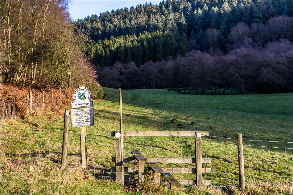
We parked at High Staindale, having driven along the Dalby Forest Drive (tolls may apply depending on the time of year), and walked down to Low Staindale. It was tempting to revisit the Bridestones (click here for that walk), as these unusual sandstone rock formations were only a short distance away – but we decided to stick to our planned route
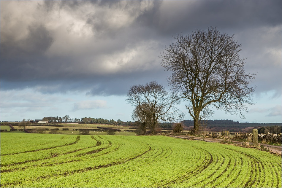
From Low Staindale we walked across farmland before descending into Green Dale and then along Thwaite Wood
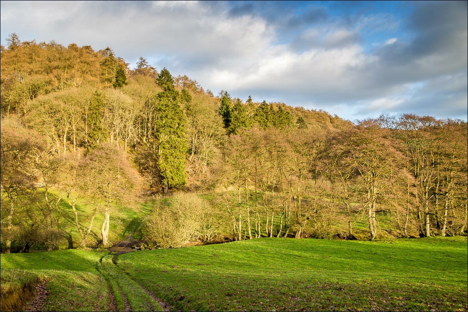
After navigating our way round Staindale Lodge we walked back to the start along Stain Dale, following a grassy path beside the bank of Staindale Beck. This was a lovely section of the walk, partly thanks to a great improvement in the weather
At Low Staindale we retraced our steps back to the start of what had been an enjoyable walk
Click on the icon below for the route map (subscribers to OS Maps can view detailed maps of the route, visualise it in aerial 3D, and download the GPX file. Non-subscribers will see a base map)

Scroll down – or click on any photo to enlarge it and you can then view as a slideshow

The start of the walk at High Staindale car park

Staindale Lake - we walk round the shore on the right, and will return via a path on the left
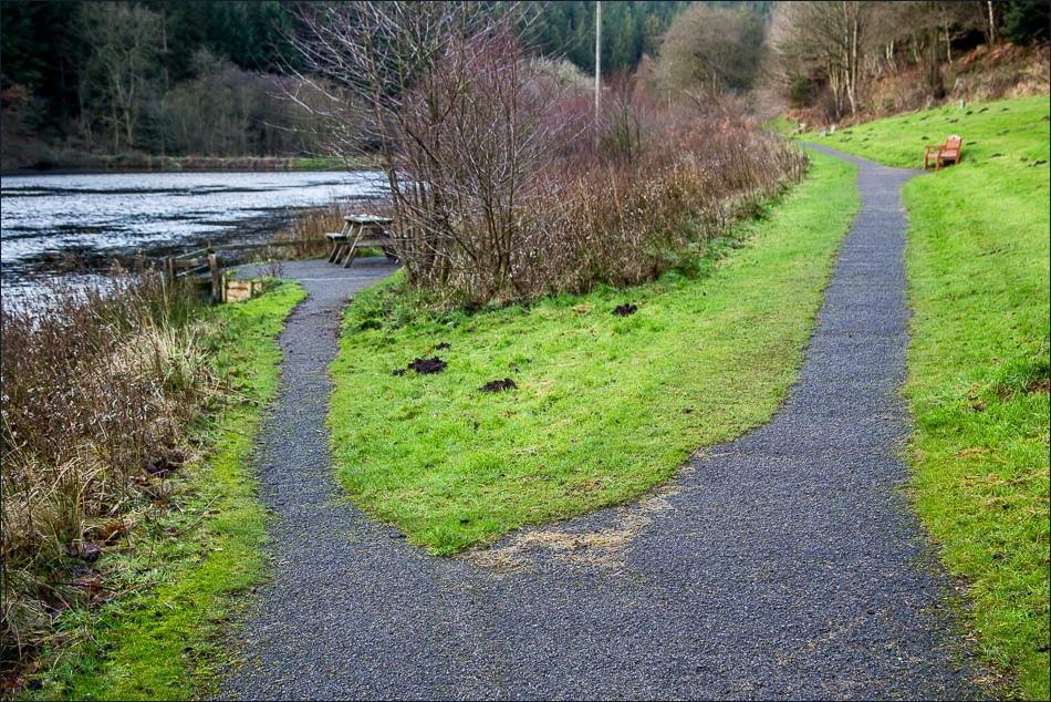
The easy path along the lake
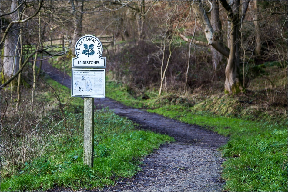

Walking along the edge of the Bridestones Nature Reserve

Approaching Low Staindale

Stepping stones over Bridestone Gill

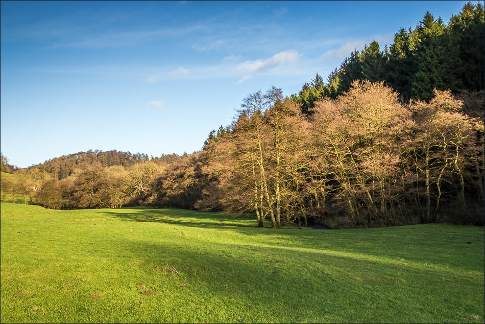
Low Staindale

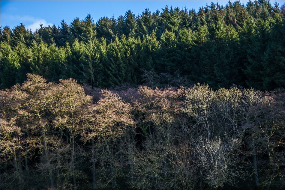
Zooming across to the Bridestones

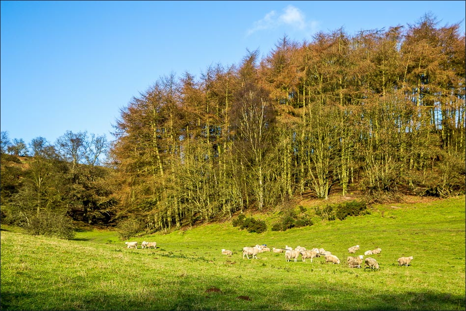
Climbing up towards Low Pasture Farm
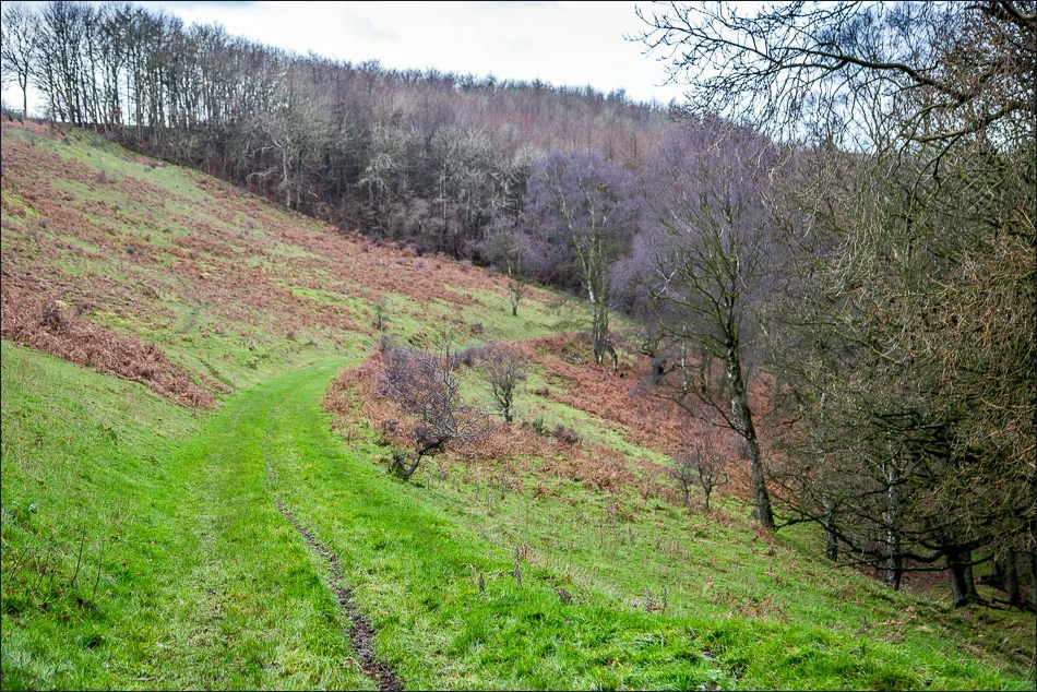
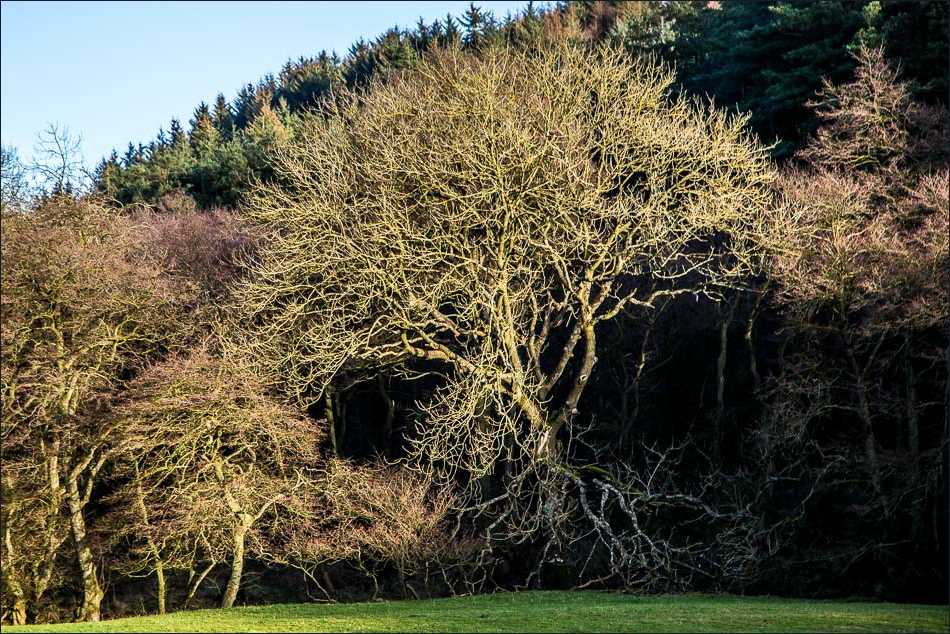
Descending into Green Dale
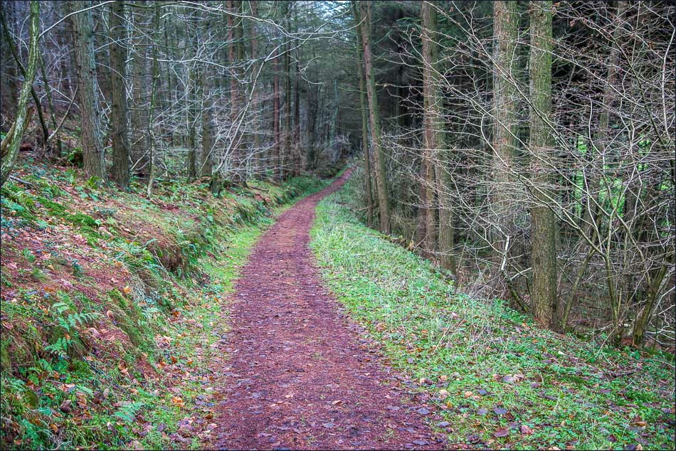
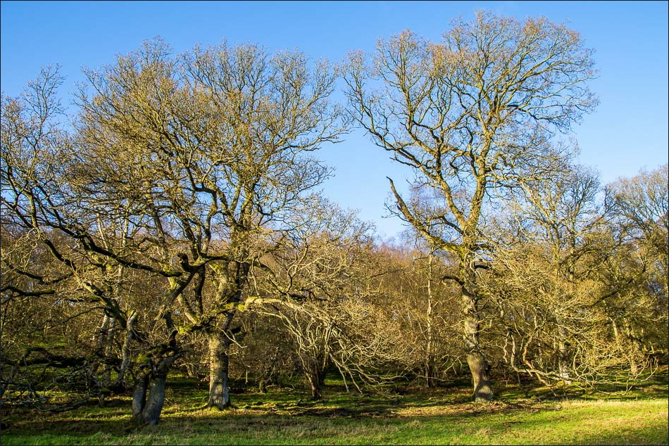
Entering Thwaite Wood

Further along the path through Thwaite Wood

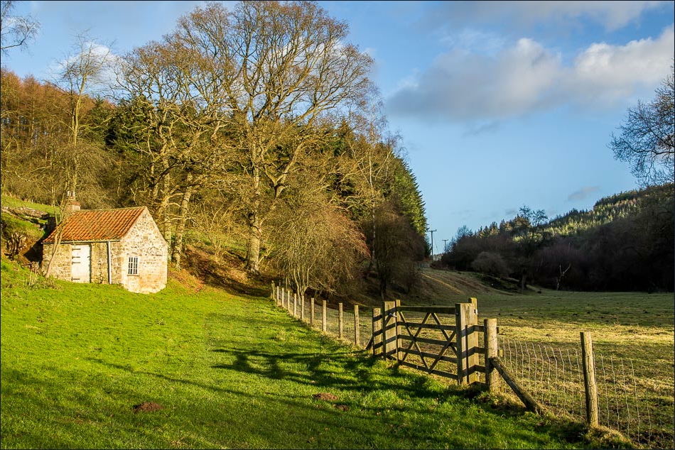
We circumnavigate Staindale Lodge before heading into Stain Dale, behind the lodge
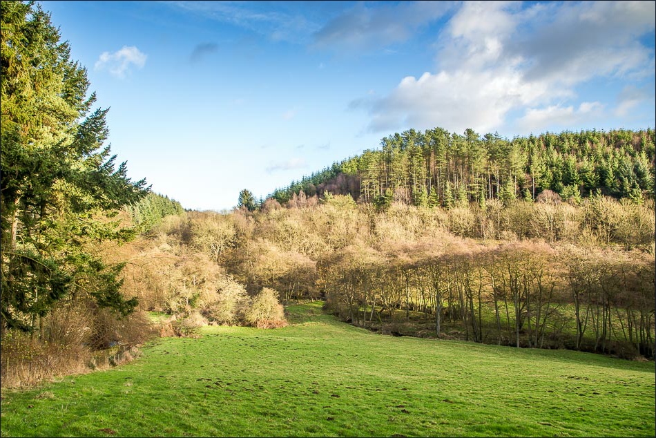
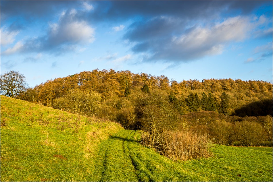
Looking into Stain Dale
Stain Dale……

Approaching Bridestone Beck again as we retrace our steps back to the start

Staindale Lake

Back to the car park at High Staindale
