

Route: Loweswater
Area: Western Lake District
Date of walk: 27th March 2014
Walkers: Andrew
Distance: 5.6 miles
Ascent: 800 feet
Weather: plenty of sunny intervals
Although I did the same walk earlier this month, I won’t apologise for repeating it as there’s so much variety packed into a short distance, all of it beautiful. In the space of 5 miles you will see mountains, lakes, a remote valley head, superb vistas from a terraced path, an ancient wood, streams, farmland and huge views over Cumbria as far as Scotland
I parked in the small National Trust car park at Maggies Bridge and walked through High Nook Farm to join the terraced path which snakes round the foot of Carling Knott. Eventually the path enters open countryside in complete contrast from the first part of the walk
The return leg provides wonderful views of Loweswater ahead and on reaching the lake there’s a choice of a lakeshore path or one through the middle of Holme Wood. After the end of the lake there’s an easy stroll back to Maggie’s Bridge along a track through the fields
It’s a fantastic walk and I’d happily do it again tomorrow
For other walks here, visit my Find Walks page and enter the name in the ‘Search site’ box
Click on the icon below for the route map (subscribers to OS Maps can view detailed maps of the route, visualise it in aerial 3D, and download the GPX file. Non-subscribers will see a base map)

Scroll down – or click on any photo to enlarge it and you can then view as a slideshow
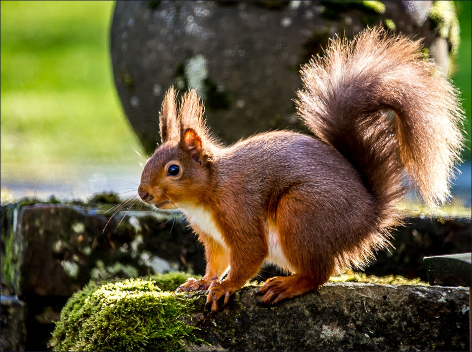
A red squirrel in the garden before I set off on today’s walk

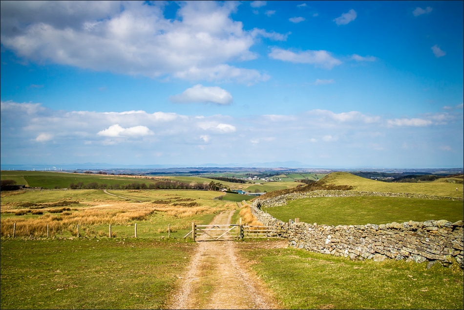
Maggie’s Bridge car park - I follow the sign to High Nook Farm

Crossing Dub Beck via Maggie’s Bridge

Carling Knott
Looking back to Darling Fell and Low Fell

At the head of the valley, just before joining the terrace path along the side of Carling Knott on the right of right of the picture
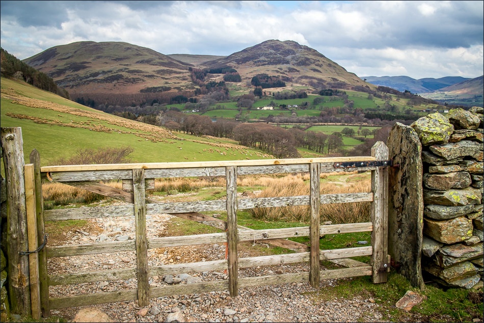
There’s a bit of a climb but it’s a small price to pay for the views ahead……

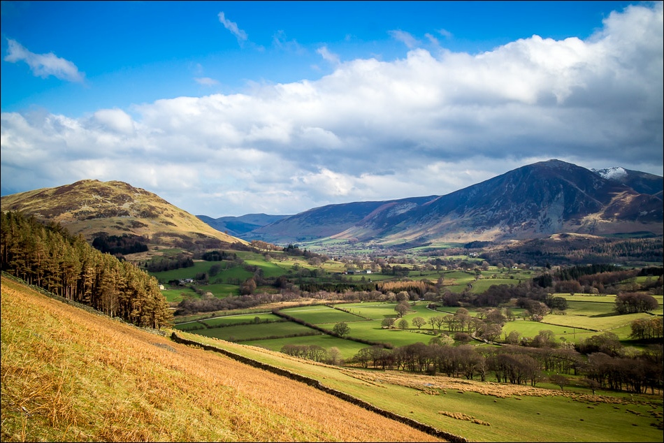
………like this one of Whiteside and Grasmoor
Sweet Lorton Vale

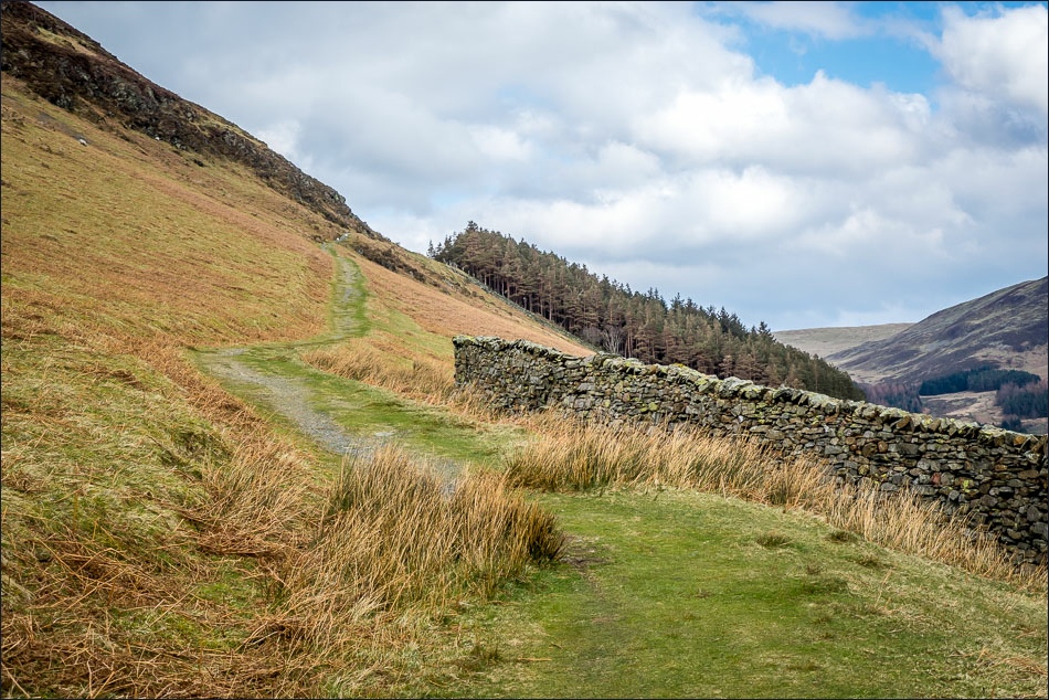
The path passes above Holme Wood, with views ahead of the Solway coast

With a view of Scotland ahead, you might think that this bench is facing the wrong way…………

………but it’s not. The two lakes are Loweswater and Crummock Water

Almost out of the Lake District

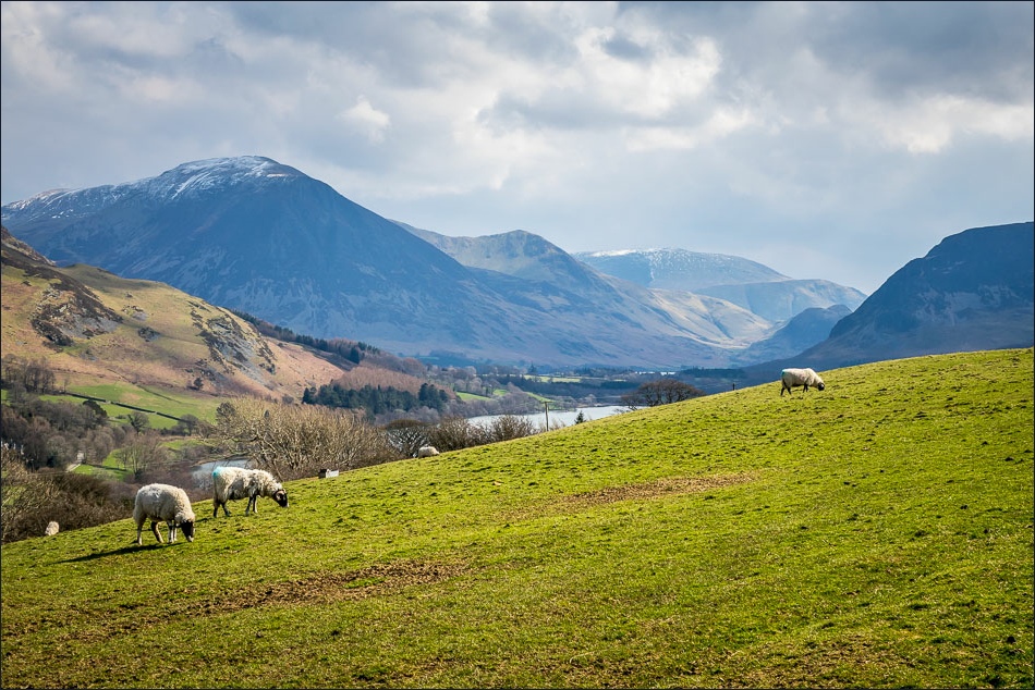
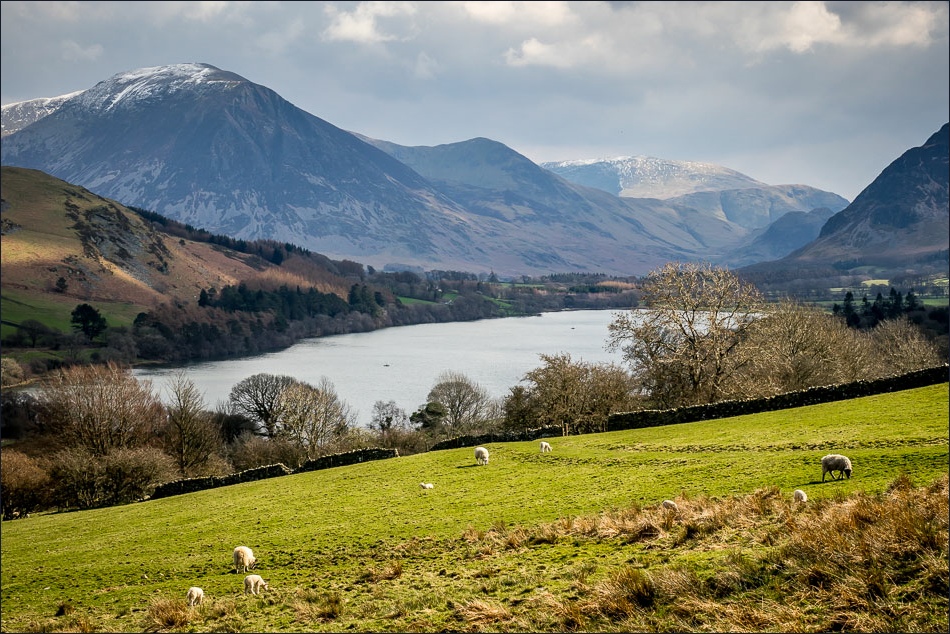
Looking back to Loweswater and snow capped Grasmoor
Nearly at the far point of the walk before turning back towards Loweswater

Rounding the corner to start the return leg
Loweswater comes back into view

Walking towards Hudson Place
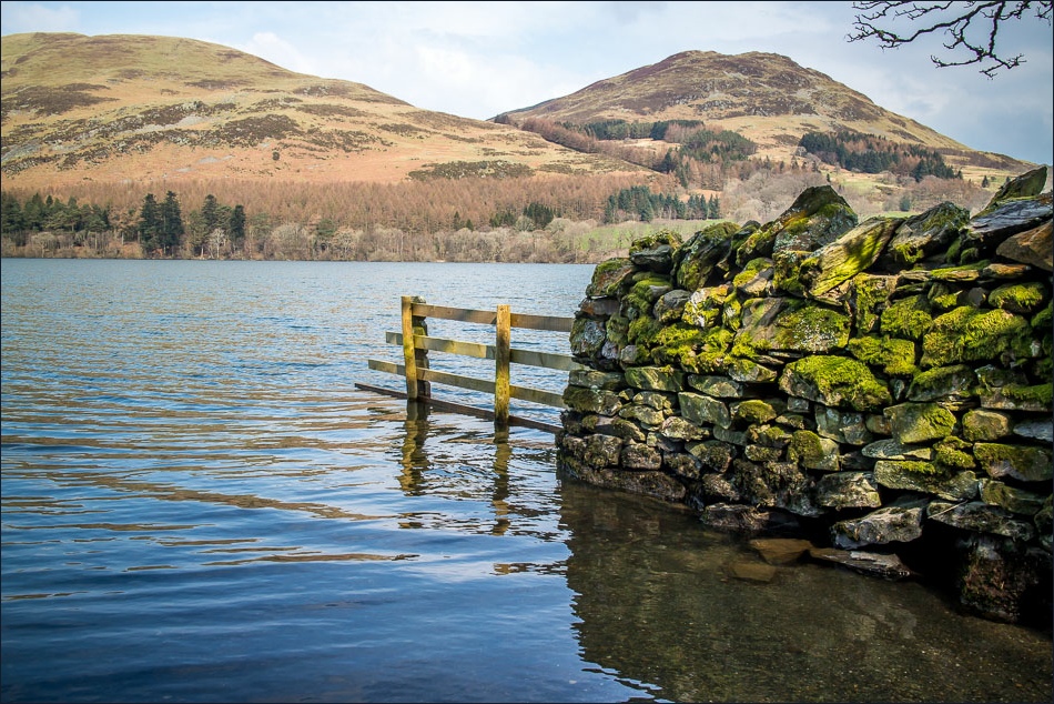
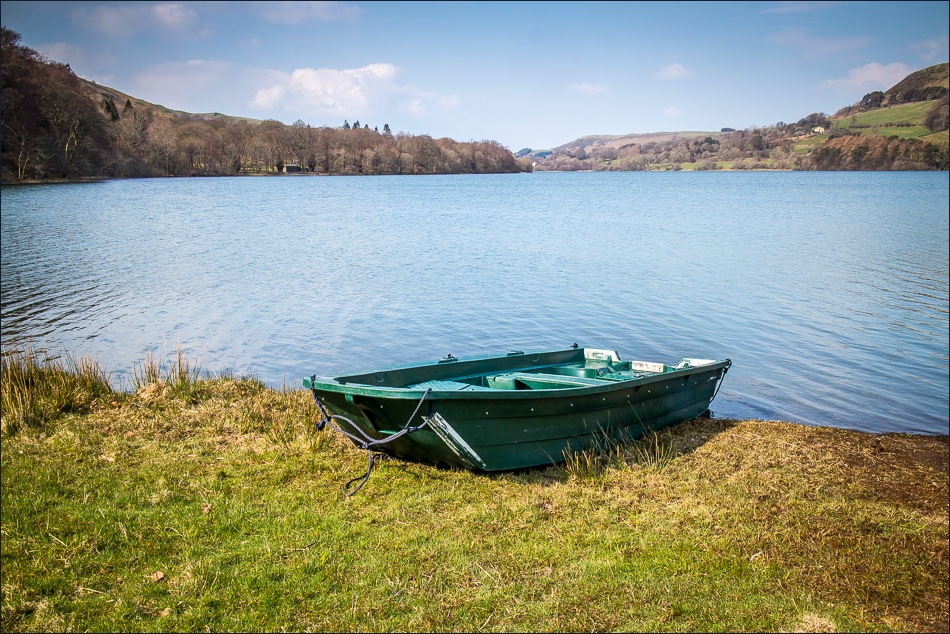
Loweswater

The local farmer moving some newly born lambs into the fields

Entering Holme Wood, owned by the National Trust
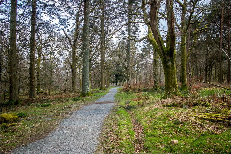
Walking through the wood

Looking across Loweswater to Grasmoor and Mellbreak

The bothy, available to rent from the National Trust
Darling Fell and Low Fell
Looking back along Loweswater

The track leading back to Maggie’s Bridge
