

Route: Lanthwaite Hill
Area: North Western Lake District
Date of walk: 17th November 2013
Walkers: Andrew
Distance: 2.7 miles
Ascent: 400 feet
There was only time for a short walk this morning, so I chose one of our favourite local spots – Lanthwaite Hill, otherwise known as Brackenthwaite Hows. It’s a superb vantage point and hardly any effort is required to get to the top
What this walk lacks in distance it more than makes up for in the sheer beauty and variety of the terrain
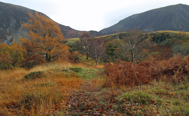
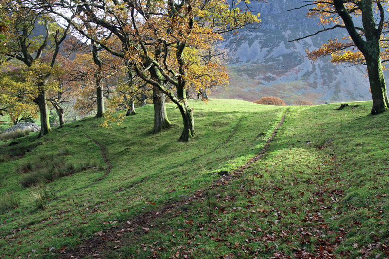
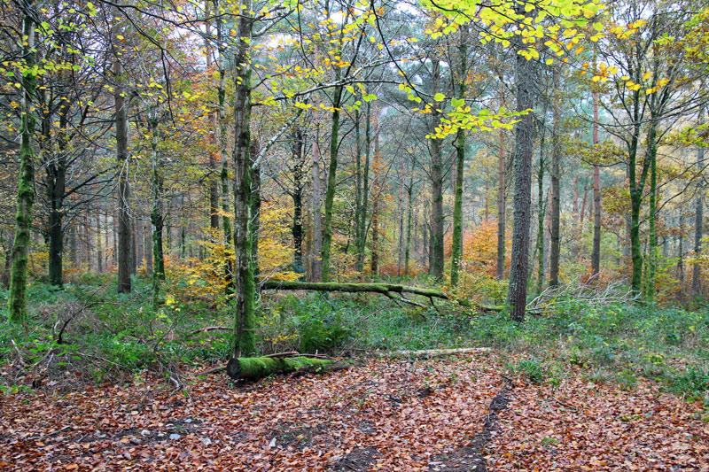
I parked in the National Trust car park near Scale Bridge and instead of heading along the obvious path ahead I turned steeply uphill the climb up through Lanthwaite Wood. There are a couple of short rocky sections to add interest, though they are very easy
The view from the top of Lanthwaite Hill was as beautiful as ever and the sun made a long awaited, though brief, appearance and this gave me some good photo opportunities
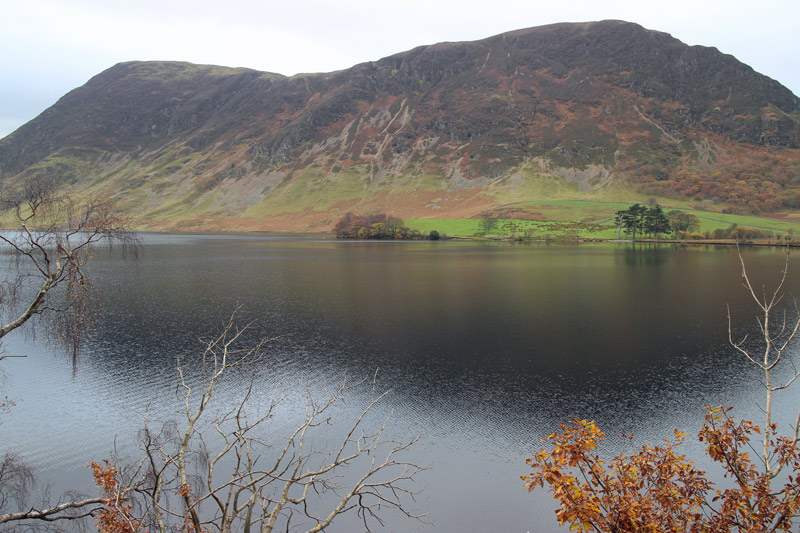
I descended through the woods to the shore of Crummock Water to enjoy the fabulous view along the length of the lake, and then walked back along the track beside the River Cocker. What a great little walk this is
For other walks here, visit my Find Walks page and enter the name in the ‘Search site’ box
Click on the icon below for the route map (subscribers to OS Maps can view detailed maps of the route, visualise it in aerial 3D, and download the GPX file. Non-subscribers will see a base map)

Scroll down – or click on any photo to enlarge it and you can then view as a slideshow

Climbing up Lanthwaite Hill

A short rocky section

As I get higher up, Mellbreak appears above the trees
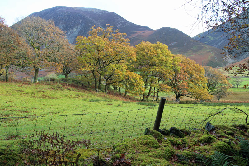
Lanthwaite Hill ahead, overlooked by Whiteside on its left and Grasmoor on its right

Looking down Lorton Vale, I can see our house from here

The Loweswater Fells
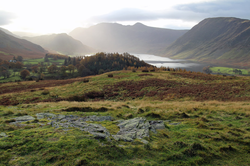
Crummock Water from Lanthwaite Hill

Spotlight on Low Fell and Fellbarrow

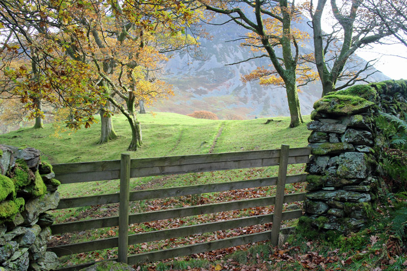
I descend back into Lanthwaite Wood through a recently installed deer gate

Grasmoor
…and Whiteside

The boathouse on the shore of Crummock Water
Mellbreak from the lakeshore path

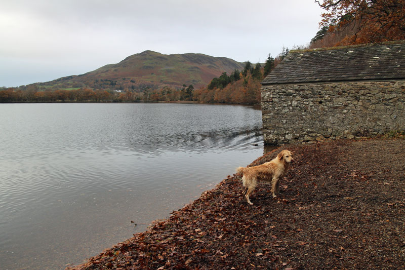
Bonnie at the outflow of the lake

Bonnie

Looking towards Rannerdale Knotts and the High Stile Range
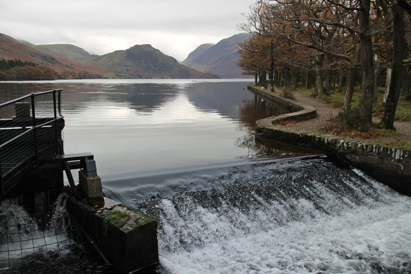
The outflow into the River Cocker

Looking back to the boathouse from the far shore

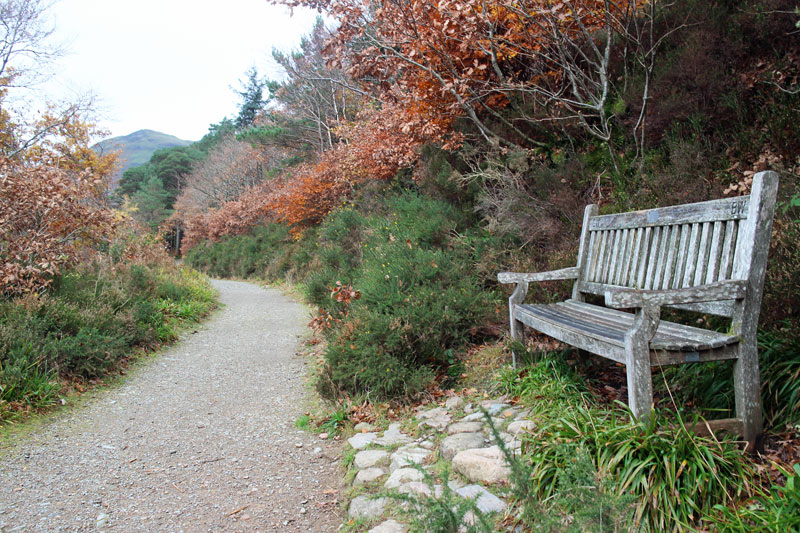
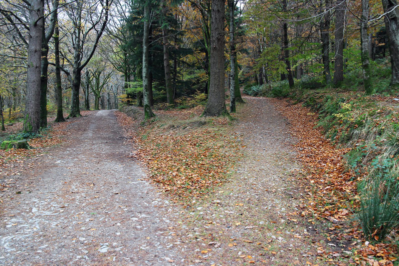
The lovely woodland track which leads back to the car park

Back at the start, the River Cocker from Scale Bridge
