
Route: Lanthwaite Hill
Area: North Western Lake District
Date of walk: 3rd June 2016
Walkers: Andrew
Distance: 2.1 miles
Ascent: 400 feet
Weather: sun and blue skies
There was only time for a short walk this afternoon, so I chose one of our favourite local spots – Lanthwaite Hill (shown on the OS map as Brackenthwaite Hows). It’s a superb vantage point and hardly any effort is required to get to the top
What this walk lacks in distance it more than makes up for in the sheer beauty and variety of the terrain
I parked in the National Trust car park near Scale Bridge and instead of heading along the obvious path ahead turned steeply uphill to climb up through Lanthwaite Wood. There are a couple of short rocky sections to add interest, though they are very easy
The view from the top of Lanthwaite Hill was as beautiful as ever, with Lorton Vale, Loweswater, Crummock Water and the Buttermere fells displayed in all their splendour
I descended through Lanthwaite Wood to the foot of Crummock Water from where there is a view along the length of the lake, and then walked back along the track beside the River Cocker. What a great little walk this is
For other walks here, visit my Find Walks page and enter the name in the ‘Search site’ box
Click on the icon below for the route map (subscribers to OS Maps can view detailed maps of the route, visualise it in aerial 3D, and download the GPX file. Non-subscribers will see a base map)

Scroll down – or click on any photo to enlarge it and you can then view as a slideshow

Red squirrel in the garden at breakfast time today


Buttercup meadow near Miller Place on the way to the start

View from the National Trust car park at the start of the walk, looking across the River Cocker to Mellbreak

Lanthwaite Wood - I follow the path to the left

The rocky staircase

I leave the wood to emerge onto Lanthwaite Hill - Whiteside in the background

Looking back along the ridge line to Low Fell

Wonderful views in all directions from the top of Lanthwaite Hill - Lorton Vale…

…Lanthwaite Green and the foot of Grasmoor…

…Loweswater village

…Red Pike and Mellbreak above Crummock Water

Zooming in on the foot of Mellbreak

Great Gable behind Rannerdale Knotts as I descend gently back into Lanthwaite Wood

Deer gate leading back into the wood

Stitchwort

There are still a few bluebells around, but their season is nearly over

I follow a path which skirts round the edge of the wood

Gasgale Gill between Whiteside and Grasmoor


Descending towards Crummock Water

The boathouse, looking towards Mellbreak

I follow the shoreline path to the foot of the lake

Foot of Mellbreak from the foot of Crummock Water

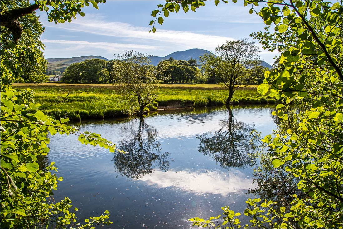
There’s a wide track back to the start, but I choose to follow a narrow path beside the River Cocker


It’s hard to imagine that during the floods last December this path would have been at least 6 feet underwater

The end of today’s short walk
