

Route: High Rigg and Low Rigg
Area: Central Lake District
Date of walk: 2nd August 2014
Walkers: Andrew
Distance: 7.2 miles
Weather: Overcast with drizzle and rain but sunny later
High Rigg is one of the lowest lakeland fells but it’s a favourite of ours thanks to its long knobbly ridge which is full of interest and good views. It had been raining all morning and the higher fells were still in the clouds, so with limited time available this was just the ticket for an afternoon walk
I decided to extend our normal route by carrying on to Low Rigg, then to Tewet Tarn
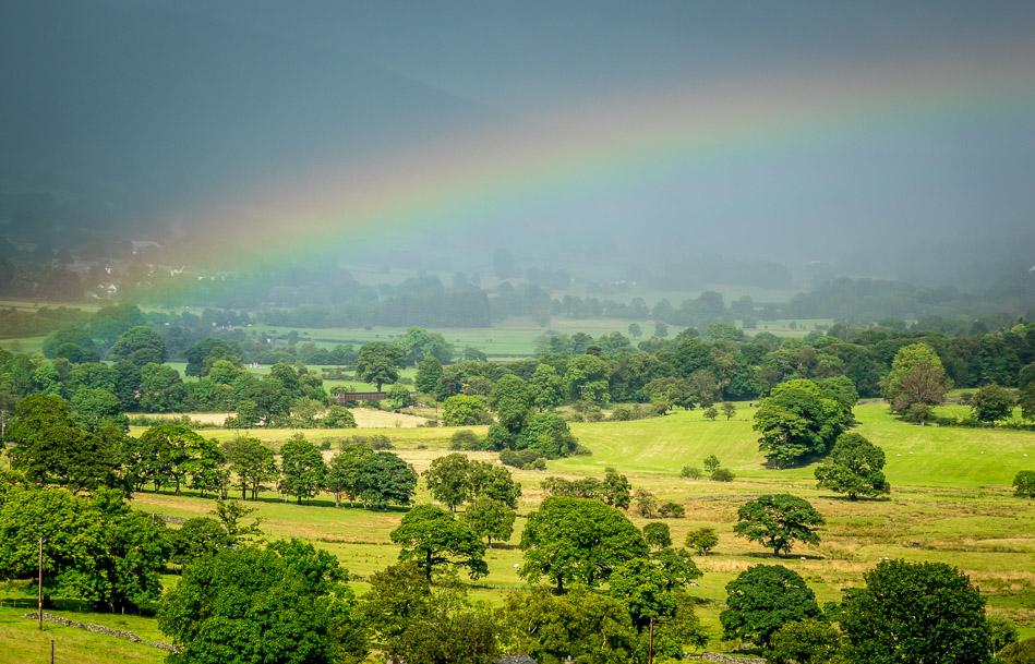
At first the weather was overcast with light drizzle and frequent showers, some of them quite heavy, and I did wonder whether to change my plan and head back after High Rigg. Just as I was considering this option there was a break in the clouds and signs of some improvement in the conditions. That was all the incentive I needed so I carried on over Low Rigg to Tewet Tarn. After passing the tarn there was a burst of sunshine accompanied by a rainbow and I was glad to have persevered
The remainder of the walk back along St John’s in the Vale was a joy, with sun and blue skies replacing the earlier gloom
For other walks here, visit my Find Walks page and enter the name in the ‘Search site’ box
Click on the icon below for the route map (subscribers to OS Maps can view detailed maps of the route, visualise it in aerial 3D, and download the GPX file. Non-subscribers will see a base map)

Scroll down – or click on any photo to enlarge it and you can then view as a slideshow

As I waited for the rain to stop I took some photos of the garden wildlife - a male red squirrel

Yellowhammer
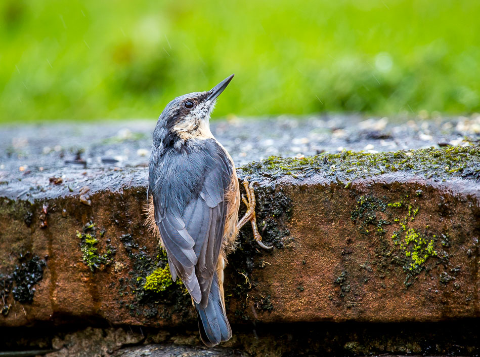
Nuthatch

The start of the walk, a ladder stile beside the busy A591
The climb starts immediately, it’s easy going through rocky terrain

Looking across to Castle Rock

Thirlmere comes into view as I look back along the path

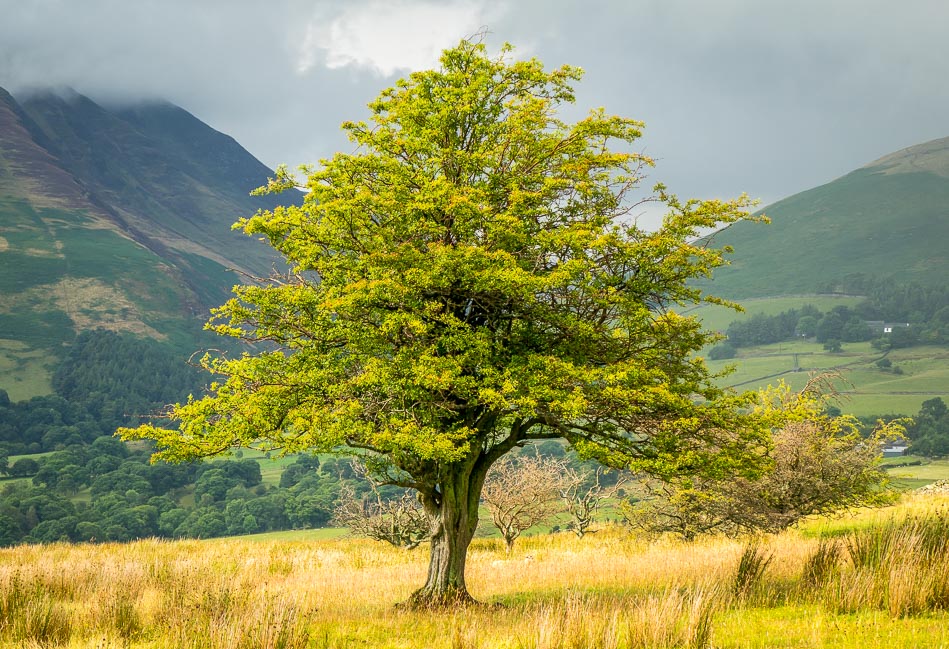
Looking towards Skiddaw and Blencathra - the summit of High Rigg is at the far end of the ridge

It started to rain quite heavily at this point

Summit of High Rigg looking towards Keswick, with Bassenthwaite in the distance

Thirlmere as I look back along the ridge from the summit

Skiddaw and Blencathra, still in the clouds but the weather would improve soon

On the way down looking towards Whinlatter
I could have turned right here to return to the start, but as the weather was improving I decided to carry on to Low Rigg ahead
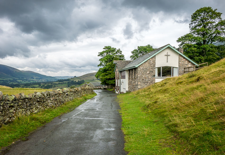
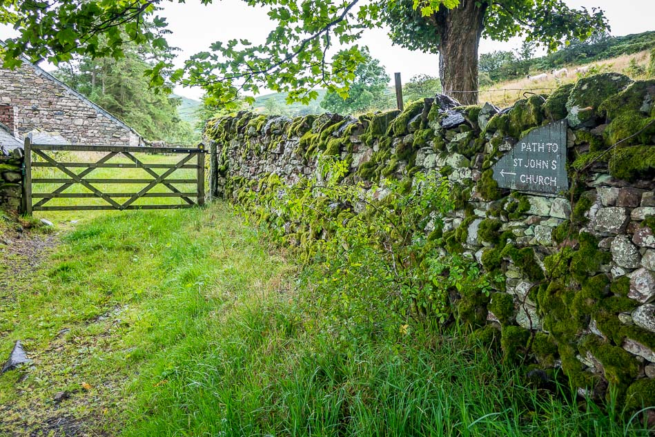
I turned left up the hillside just beyond the youth centre

Sunshine at last, though Blencathra is still hiding its head

Tewet Tarn below

Tewet Tarn looking towards the north west fells

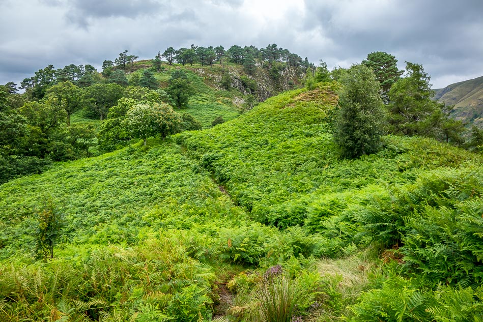
Walking over Low Rigg

Looking towards Threlkeld

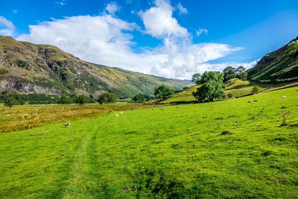
Start of the return leg as I head towards St John’s in the Vale, with High Rigg on the right

St John’s in the Vale with the long spine of the eastern fells on the left

High Rigg on the right

St John’s Beck
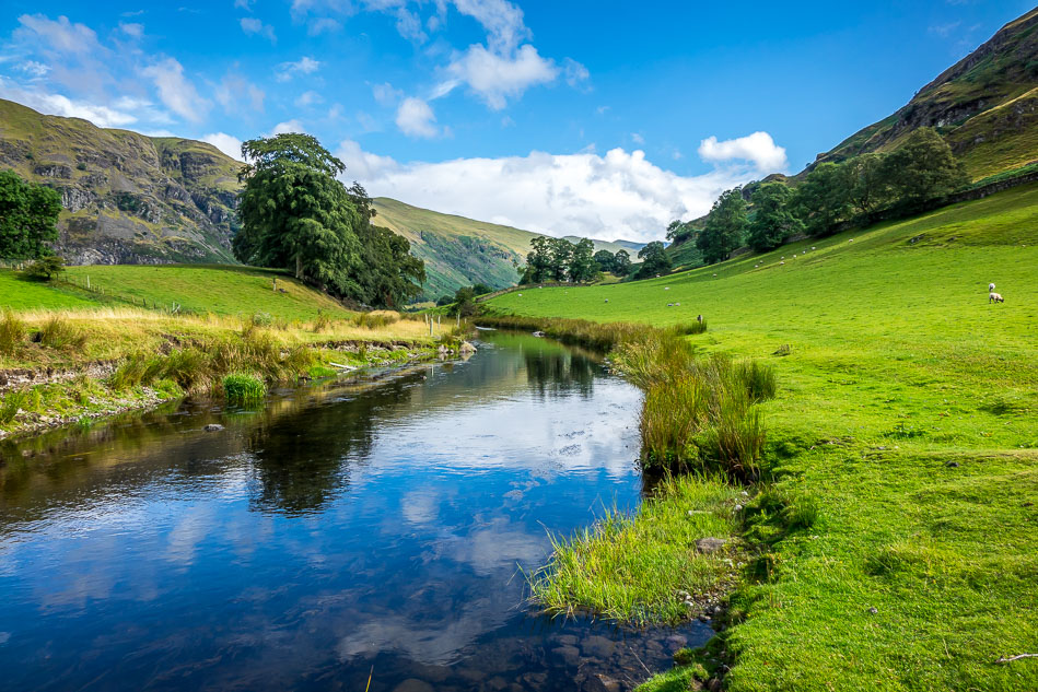

Clough Head
What a contrast with the weather during the first half of the walk
Four buzzards flew out at this point, screeching noisily - they must have a nest up there somewhere

Looking back, the cloud has now lifted off Blencathra

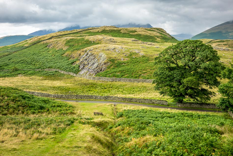
Looking across the valley towards the crags of Clough Head

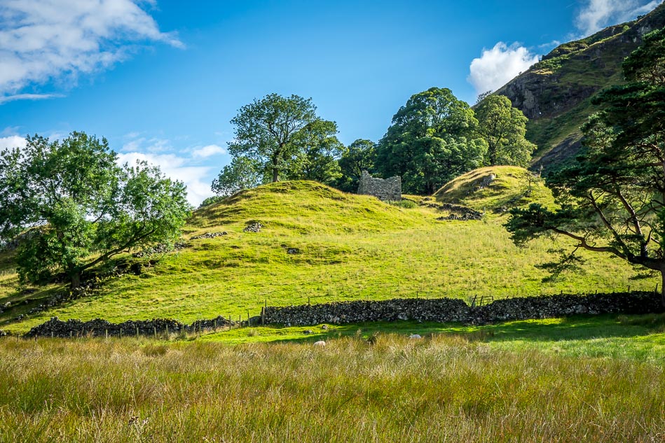
The flanks of High Rigg

Sosgill Bridge and Blencathra

At the end of the vale the path rises steeply above St John’s Beck and leads back across the foot of High Rigg
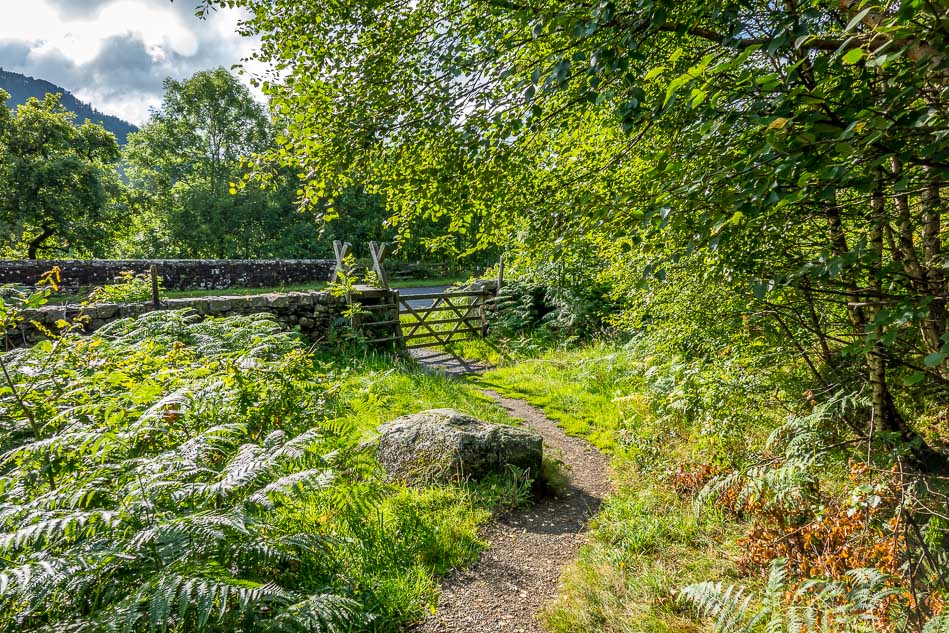
Back to the start
