
Route: High Rigg
Area: Central Lake District
Date of walk: 31st December 2019
Walkers: Andrew
Distance: 5.8 miles
Ascent: 1,300 feet
Weather: Sunshine and cloudless blue skies
This is a walk I’ve followed many times and is one of my favourites. I parked as usual in one of the roadside spaces on the A591 near Legburthwaite and after crossing the nearby ladder stile made my way up Wren Crag towards the ridge. The flanks of the crag are adorned by some fine old pine trees but it’s shame that a number of these – perhaps 20 or 30 – fell victim to gales a couple of years ago. The so-called ‘Beast from the East’, which was followed by a couple of other gales from the same direction, was the obvious culprit, since the trees are all lying on an east/west axis. This wind direction is highly unusual for the Lake District, and so the root systems of the trees had not grown to cope with it
When I reached the knobbly summit ridge I followed the undulating path up and down and after about 1.5 miles I arrived at the summit of High Rigg, from where there are lovely views, particularly those looking towards Blencathra. The cloudless blue skies and lack of clouds made the light rather harsh and contrasty and wasn’t ideal for photography
I then descended in the same direction as the ridge to reach the hause between High Rigg and Low Rigg. From here I followed a narrow lane for a few yards, passing by tiny St John’s Church, before joining a path which hugs the lower flanks of High Rigg, and from which there are good views across St John’s in the Vale
Near the end of the vale I passed by Low Bridge End Farm (a good place to stop for tea and cakes) and continued along the valley path, which rises above St John’s Beck before descending back to the start. The walk had been as enjoyable as ever, and a good way to round off 2019
For other walks here, visit my Find Walks page and enter the name in the ‘Search site’ box
Click on the icon below for the route map (subscribers to OS Maps can view detailed maps of the route, visualise it in aerial 3D, and download the GPX file. Non-subscribers will see a base map)

Scroll down – or click on any photo to enlarge it and you can then view as a slideshow

A couple of days earlier, some good light on Low Fell...


The start of today's walk as I cross the ladder stile by the A591

I'll return via the path ahead, and fork left here to start the climb, initially through woodland

Looking back to the A591 as I gain height

Castle Rock below Watson's Dodd...


Wren Crag on High Rigg

The pine trees gradually thin out as I approach the long ridge to the summit

Looking back to Thirlmere

The long undulating ridge of High Rigg, with Skiddaw left and Blencathra right

Looking down into St John's in the Vale, which will be my return route

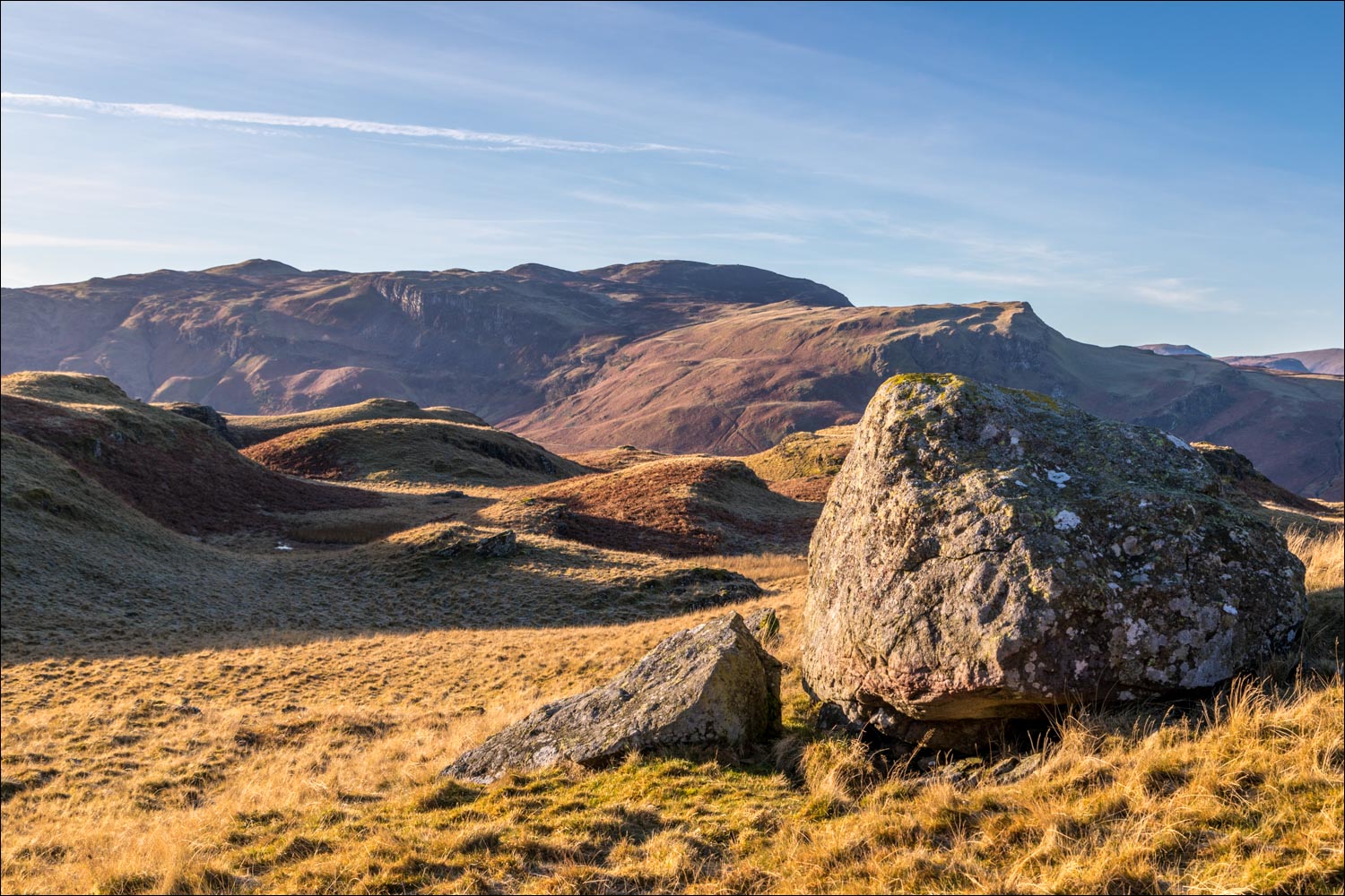
I continue along the ridge, with innumerable ups and downs...


Looking across to Bleaberry Fell

Grisedale Pike on the left and Bassenthwaite Lake on the right

Summit of High Rigg, and Blencathra beyond

I start the easy descent, which curves right to the hause between High Rigg and Low Rigg...

Blencathra

Having reached the hause I follow the lane for a short distance and pass by tiny St John's Church

I leave the lane here to join a path above St John's in the Vale

An alternative route along the valley floor may be followed by staying on the lane and descending past Bridge House below

There are good views across St John's in the Vale from the elevated path...


I pass by the ruins of an old barn

I continue along the delightful path...


I arrive beside St John's Beck - from here the path rises through the woodland and brings me back to the start of the walk

Later that day, countdown to New Year's Eve over Lorton Vale...


Who needs fireworks?

Happy New Year!
