
Route: Circuit of Crummock Water
Area: Western Lake District
Date of walk: 15th June 2016
Walkers: Andrew and Gilly
Distance: 9.3 miles
Ascent: 800 feet
Weather: Cloudy but quite bright, very warm, light rain at end
We parked in the National Trust car park near Scale Bridge and followed the wide track through Lanthwaite Wood to the foot of Crummock Water. The lake was like a millpond as we passed by the fish ladder and started out along the western shore, with Mellbreak towering over us
Just beyond the head of the lake we crossed Buttermere Dubs and walked into Buttermere village, stopping for refreshments at the excellent Bridge Hotel
The walk back along the other shore involves some contact with tarmac but it’s a quiet road and this is not an issue. Most of the road section may be avoided by diverting into Rannerdale, though we chose not to do so today
At Cinderdale Common we left the road and dropped down to the shoreline path which we followed back to the foot of the lake, and from there we walked along the bank of the River Cocker back to the start
This is a wonderful walk which we’ve done many times, and in some ways is to be preferred to the circuit of its better known neighbour Buttermere, as it’s equally beautiful but much quieter
For other walks here, visit my Find Walks page and enter the name in the ‘Search site’ box
Click on the icon below for the route map (subscribers to OS Maps can view detailed maps of the route, visualise it in aerial 3D, and download the GPX file. Non-subscribers will see a base map)

Scroll down – or click on any photo to enlarge it and you can then view as a slideshow

There was plenty of red squirrel activity in the garden before we set off this morning…


A short time later, the start of the walk as we head through Lanthwaite Wood towards the foot of Crummock Water

Crummock Water

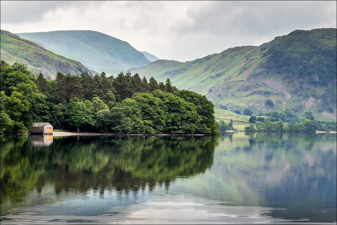
The boathouse

We cross the footbridge over the River Cocker at the foot of the lake

Start of the path along the western shore

The surface of the lake was like a mirror…


Mellbreak

We walk round the shingly beach

The slopes of Mellbreak plunging into the lake


Rannerdale Knotts

Low Ling Crag, and Fleetwith Pike in the distance

Angler on Low Ling Crag


Fleetwith Pike again as we approach the head of the lake


Buttermere Dubs, which flows out of Buttermere and into Crummock Water

We cross Buttermere Dubs via Scale Bridge

The path to Buttermere village

Fleetwith Pike and Haystacks

A pint of Buttermere Beauty at the excellent Bridge Hotel in Buttermere

We pass by Crag Houses as we walk out of Buttermere

A short road section, part of which we avoid by taking the track to the right

Looking back from the path below Rannerdale Knotts

This was a perfect walk for Bonnie - half dog, half fish

High Ling Crag on the far side of the lake

Sign near Rannerdale Farm

We leave the road here to descend to the path along the eastern shore

Walking towards High Wood

Silver birch in High Wood

The boathouse


The High Stile Range from the foot of Crummock Water

Raindrops on Crummock Water, looking towards Rannerdale Knotts

Instead of retracing our steps along the main track to the start we follow the nearby path by the bank of the River Cocker

Looking across the Cocker to Mellbreak at the end of the walk
