Route: Bowness-on-Solway and Port Carlisle
Area: Solway Coast, Cumbria
Date of walk: 7th April 2026
Walkers: Andrew and Gilly
Distance: 4.3 miles
Ascent: 100 feet
Weather: Sunny and very warm – 20c plus
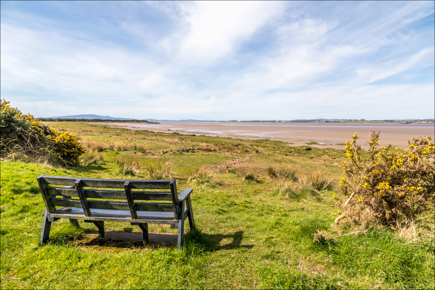
Following this morning’s fantastic visit to RSPB Campfield Marsh, where we’d witnessed mating ospreys, there remained sufficient time for an afternoon walk. We drove to the nearby village of Bowness-on-Solway, located in a designated Area of Outstanding Natural Beauty. We parked in a small free car park at the edge of the village, close to the school. There were good views across the Solway Firth to Annan and the coastline of Scotland, some two miles away from here
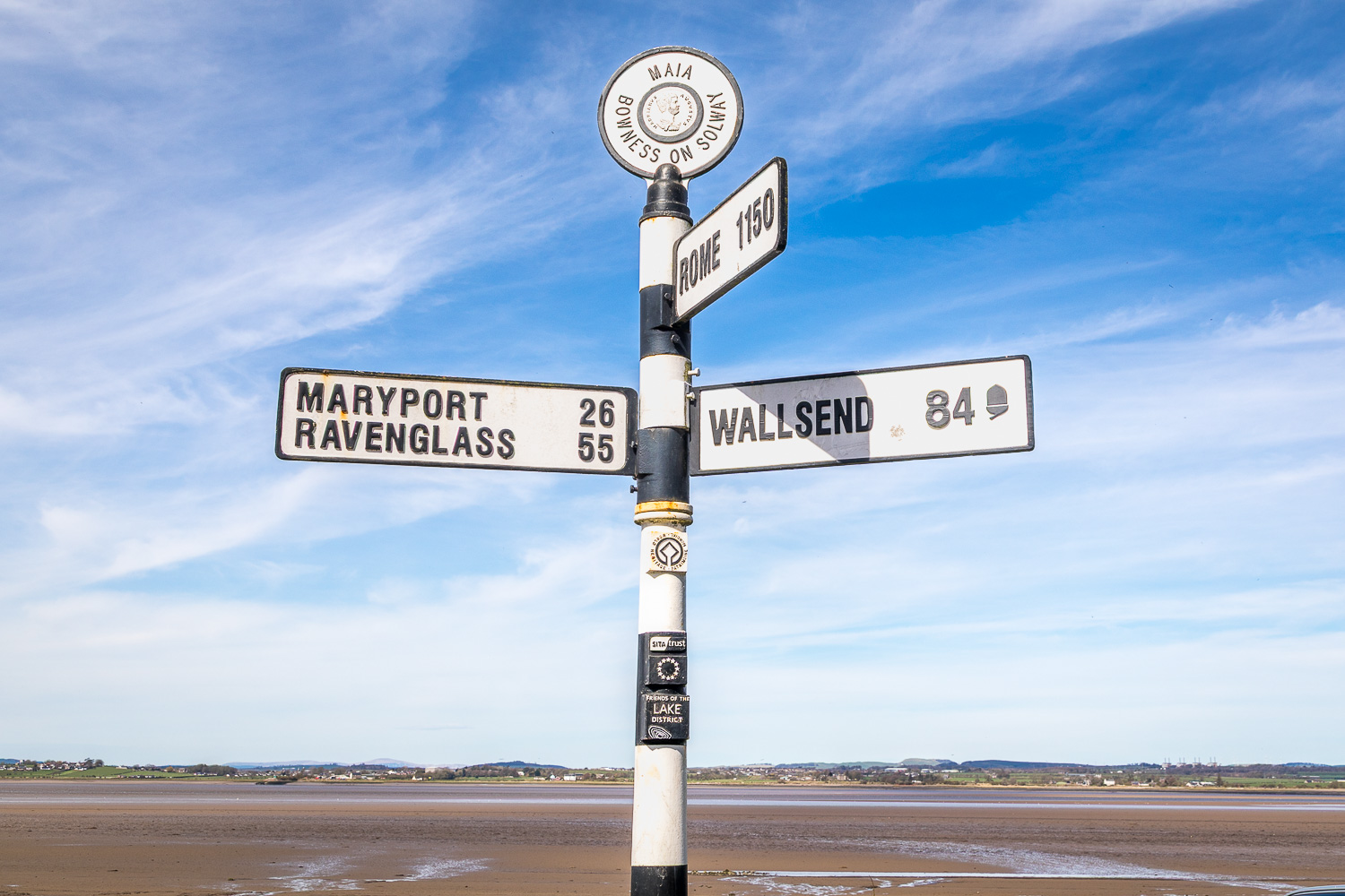
We walked through the attractive village as far as a sign indicating the start/end of the Hadrian’s Wall Path, an 84 mile (135 km) long National Trail stretching coast to coast across northern England from Wallsend. The path took us down to the stony foreshore which we followed for a short distance. NOTE: this section, and other sections of the walk, may not be accessible at high tide. Check tide times before setting off, and do not stray onto the dangerous sinking sands and mud.
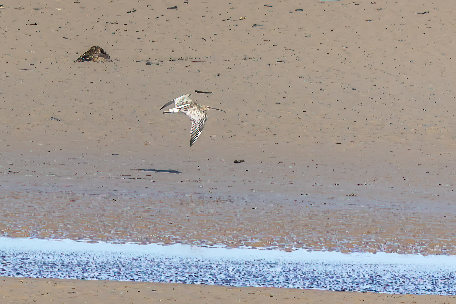
After a short distance we returned to the road and continued to follow the Hadrian’s Wall Path. The road section doesn’t detract from the enjoyment of the walk, as it’s relatively traffic free and there are lovely views across to Scotland all the way. There’s also the opportunity for some bird watching and we spotted several species including curlew and oystercatcher
After a mile or so we arrived at the edge of Port Carlisle, a coastal village with an interesting history. A canal was dug here in 1823 to link the village to Carlisle. As a result of the increased traffic, it became a popular tourist destination. In 1847 the 11 mile long canal was filled in, to be replaced by a railway so that the journey to Carlisle, which once took three hours, was reduced to 30 minutes. We followed a footpath which skirted around the village, passing by the old port along the way. Just beyond Port Carlisle we left the footpath to cross the road and to start the inland section of the walk. As is often the case with coastal walks, the inland leg can be comparatively lacking in scenic interest and we found this to be the case today. It was a pleasant if unexciting walk through a sucession of fields, lonnings and lanes (quite muddy in parts) back to the start
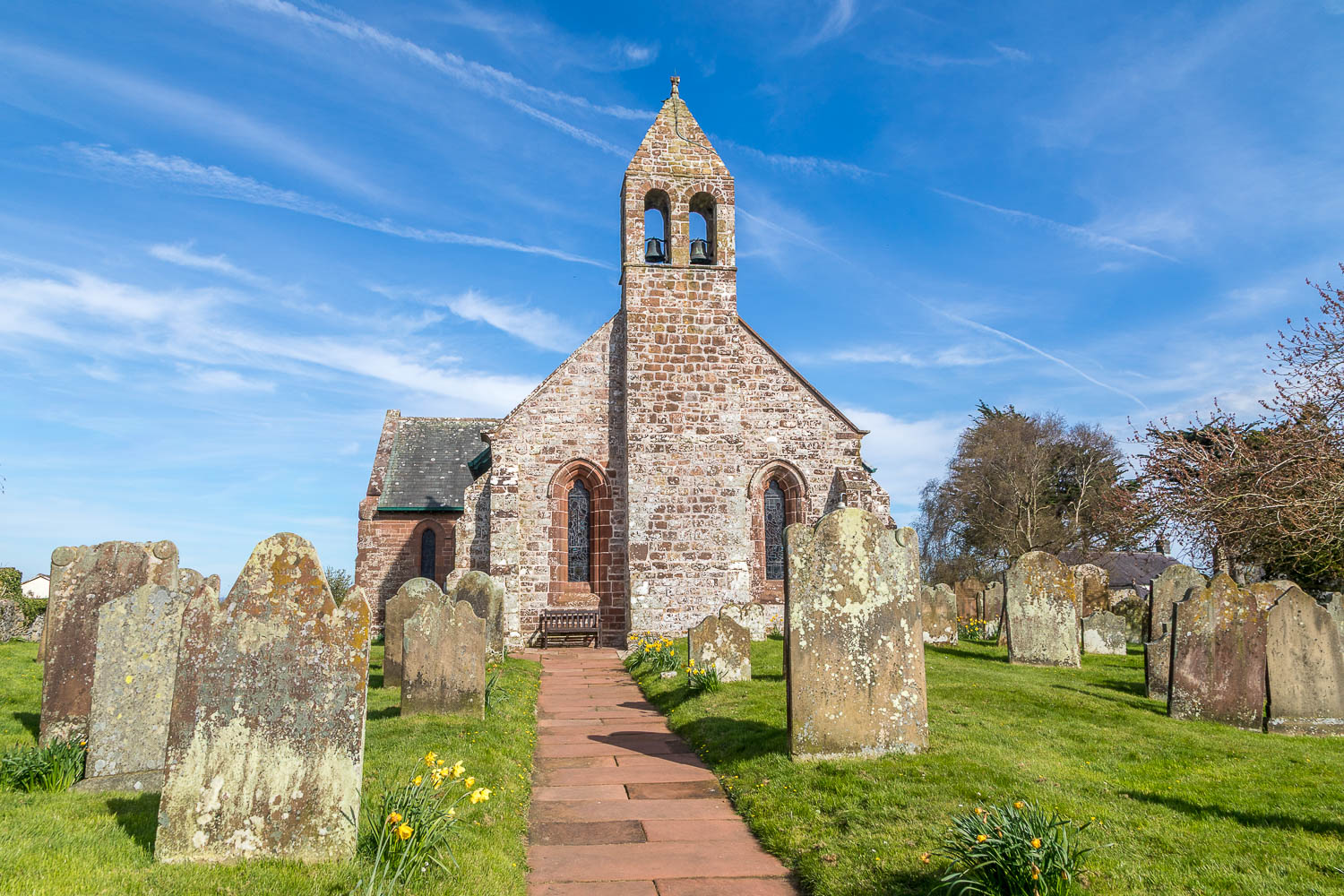
On arriving back in Bowness-on-Solway we visited the attractive little church of St Michael’s, much of which was built built with stones taken from the Roman Fort of Bowness which marked the western extremity of Hadrian’s Wall. This rounded off a wonderful day on the Solway Coast
Click on the icon below for the route map (subscribers to OS Maps can view detailed maps of the route, visualise it in aerial 3D, and download the GPX file. Non-subscribers will see a base map)

Scroll down – or click on any photo to enlarge it and you can then view as a slideshow
The start of the walk from Bowness-on-Solway, the western terminus of Hadrian's Wall and the site of the Roman fort Maia
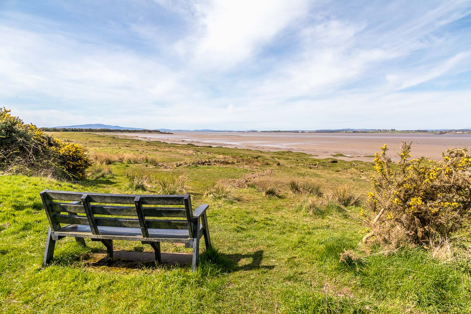
Looking across the Solway Firth to Scotland, with Criffel (1,866 feet) left of picture
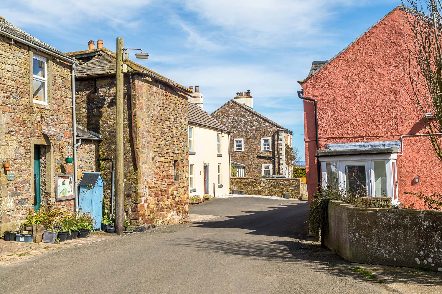
We walk through the attractive village of Bowness-on-Solway
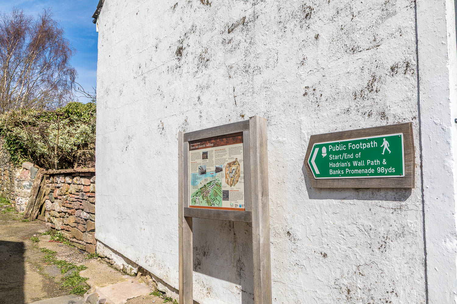
We could have continued along the street, but it was impossible to resist following this sign indicating the start of the long distance Hadrian's Wall path
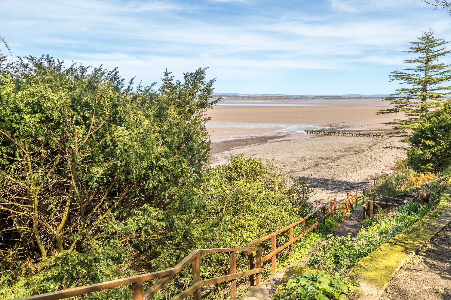
We descend the steps to the shoreline
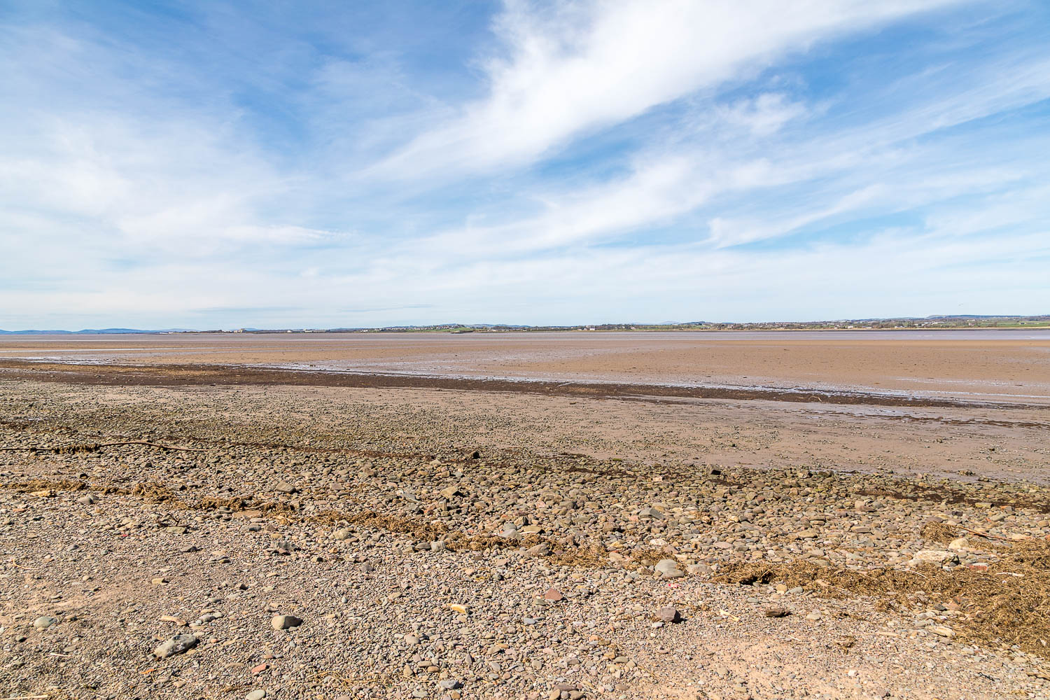
Looking across to Annan and Scotland
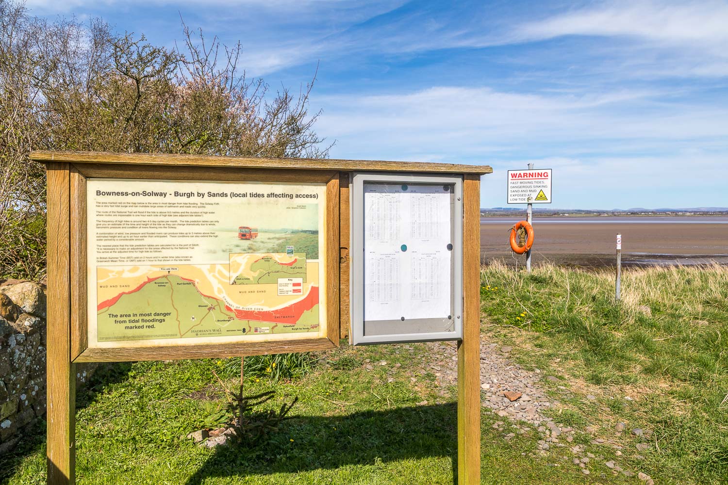
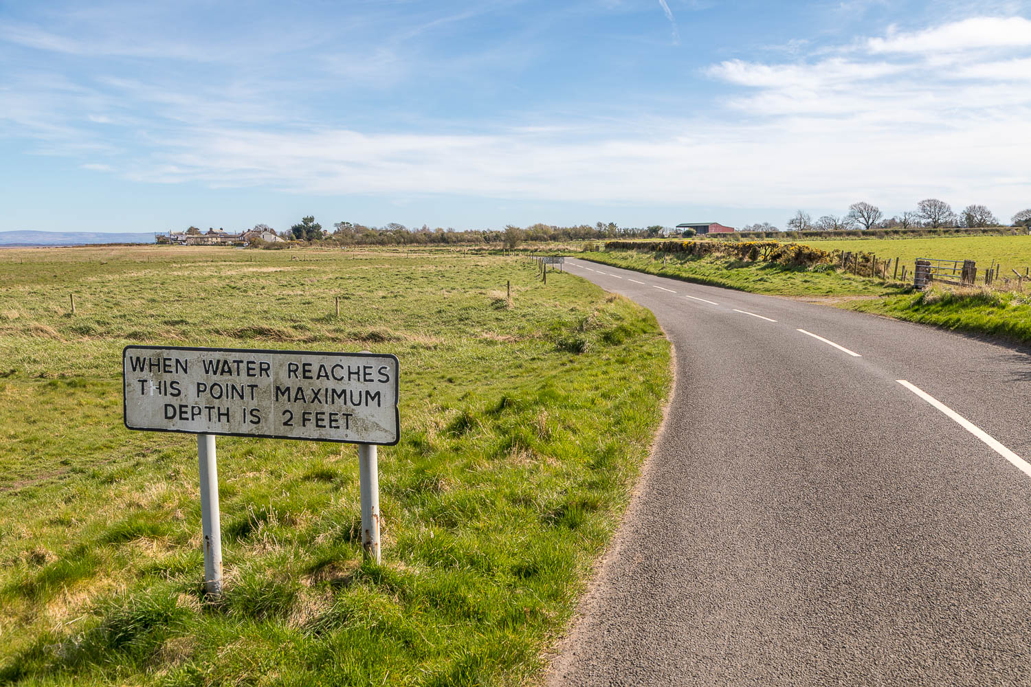
After a short distance we return to the road. The sign indicates the areas at risk from flooding (including some of the road) at high tide. The Solway Firth has a very fast tidal surge and can quickly inundate large areas of saltmarsh and roads
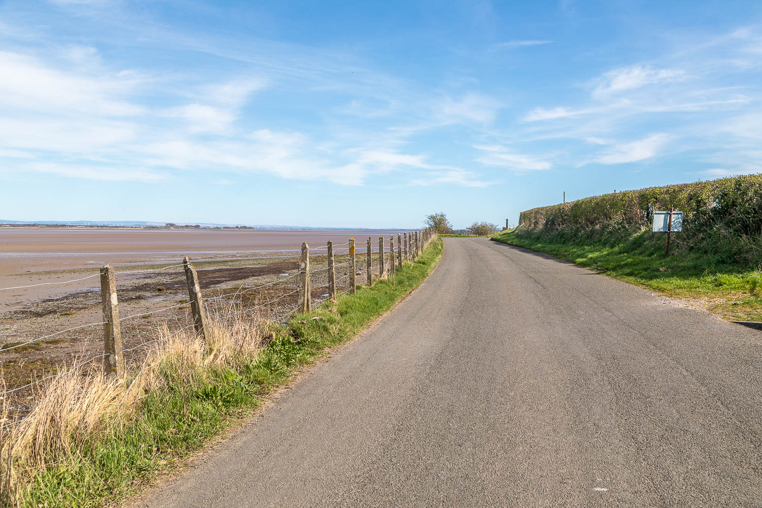
We continue along the quiet road, part of the Hadrian's Wall path
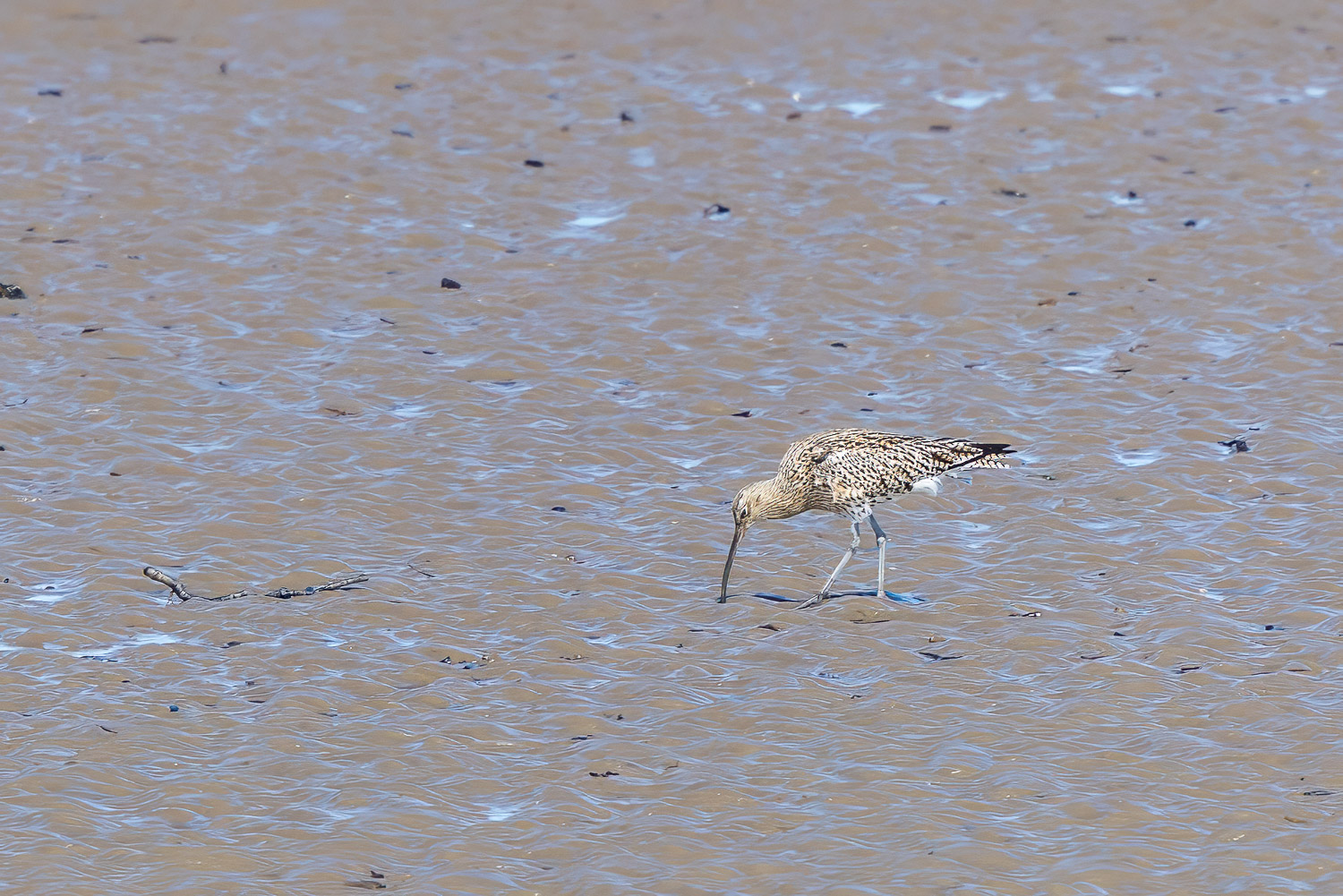
The mud flats attract numerous waders, including redshank, dunlin, knot, golden plover, turnstone and this curlew...
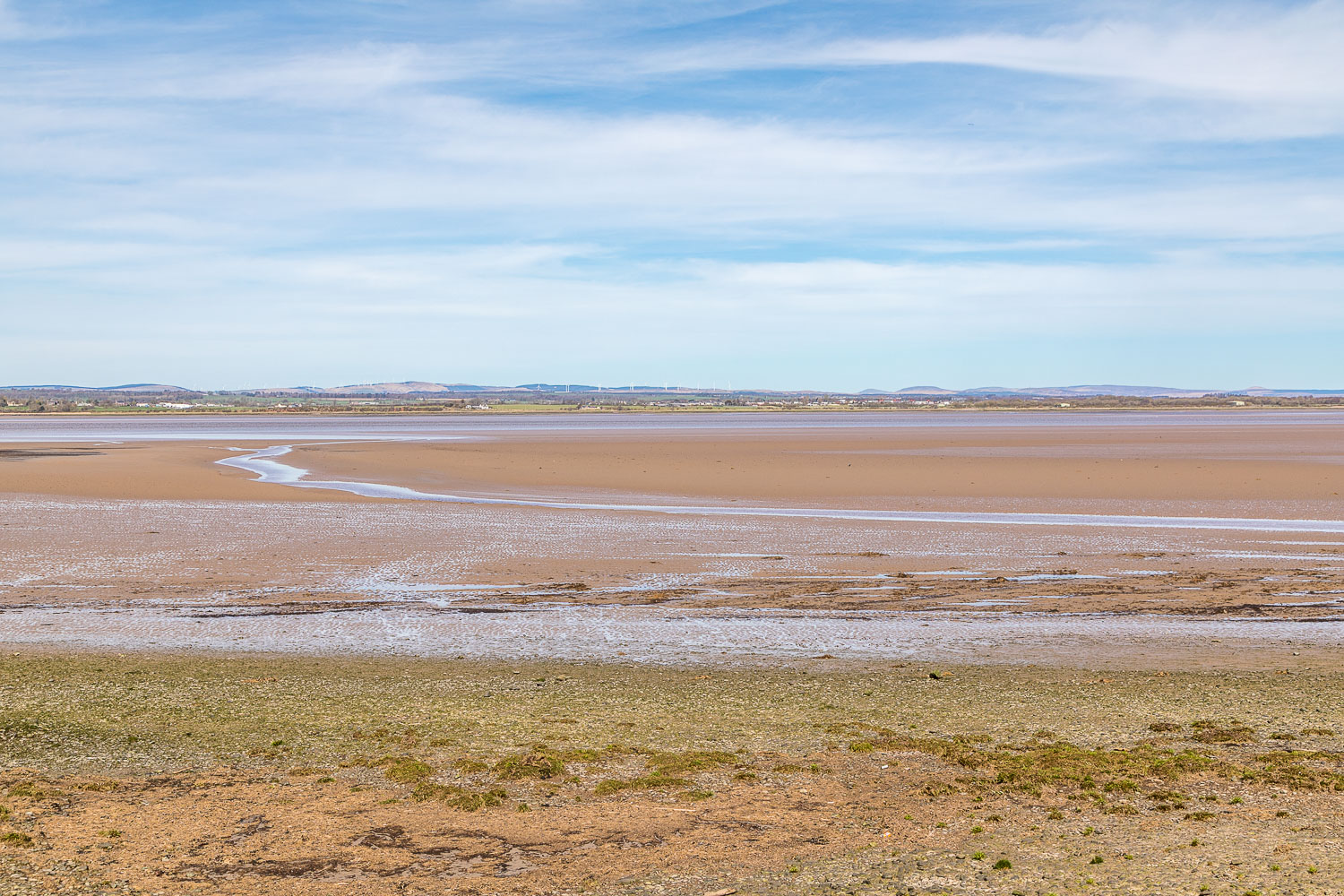
Another view across to Scotland
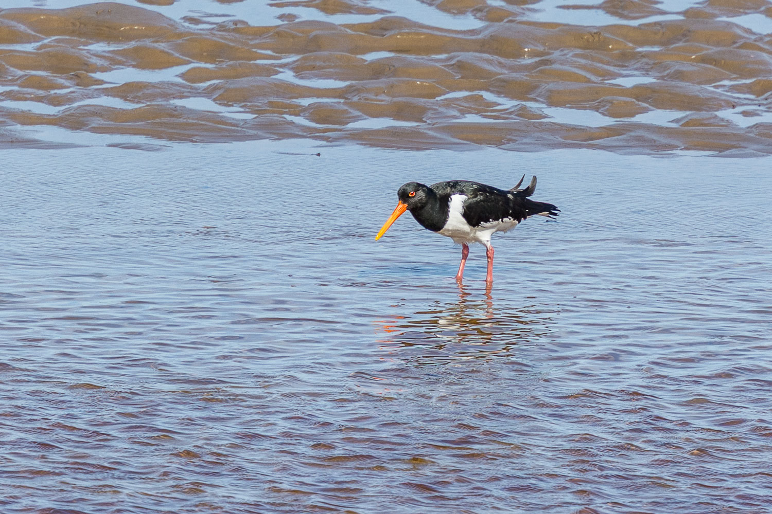
Oystercatcher
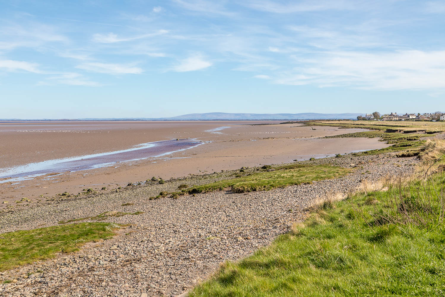
Port Carlisle comes into view right of picture
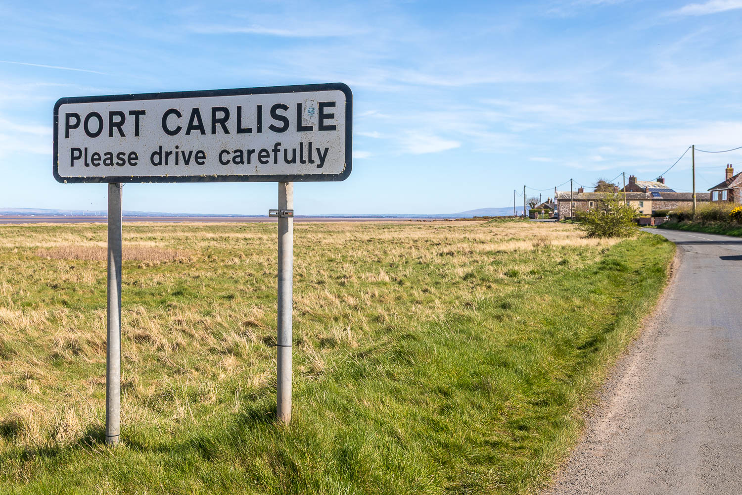
We follow the road into Port Carlisle
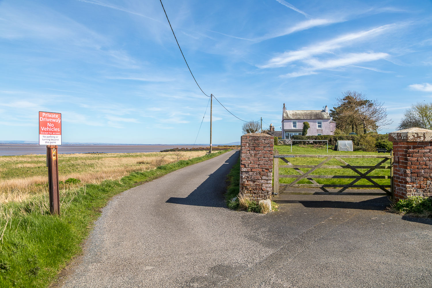
We leave the road here to join a track which takes us around the back of the village and through the old port area
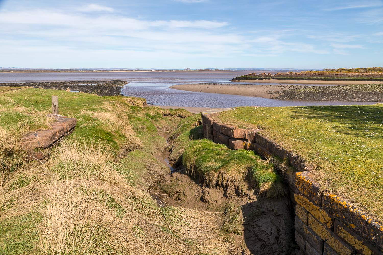
Part of the Old Harbour Wall, built of sandstone in 1823 to service the Carlisle Canal
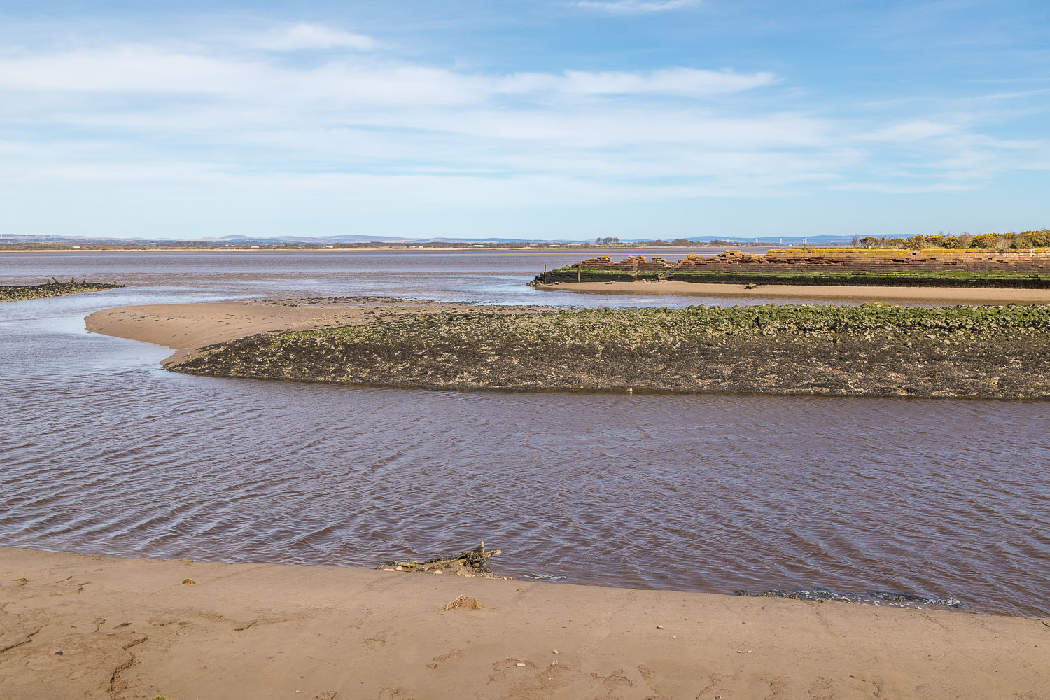
Port Carlisle harbour
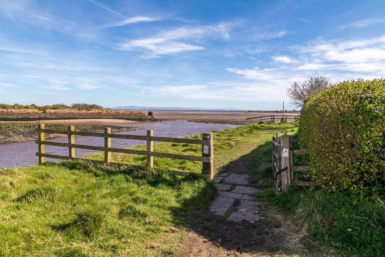
We continue around the harbour, following the Hadrian's Wall Path
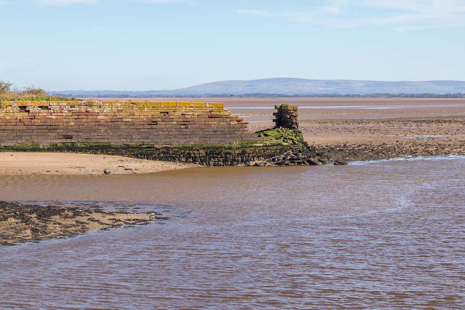
The remains of the Old Harbour Wall
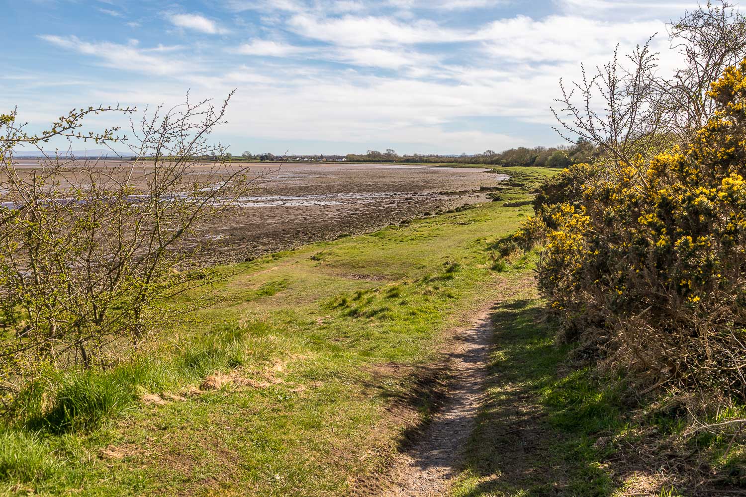
We leave Port Carlisle and follow the shoreline path for a short distance
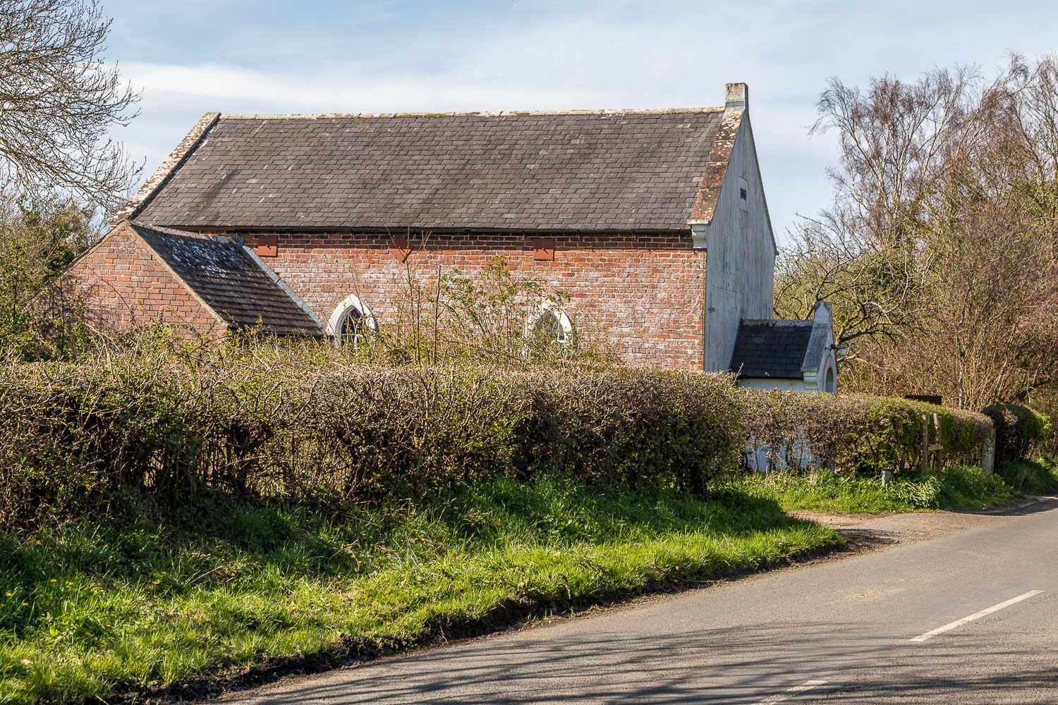
The end of the coastal section as we cross the road and head inland, turning left at the Port Carlisle Methodist Chapel
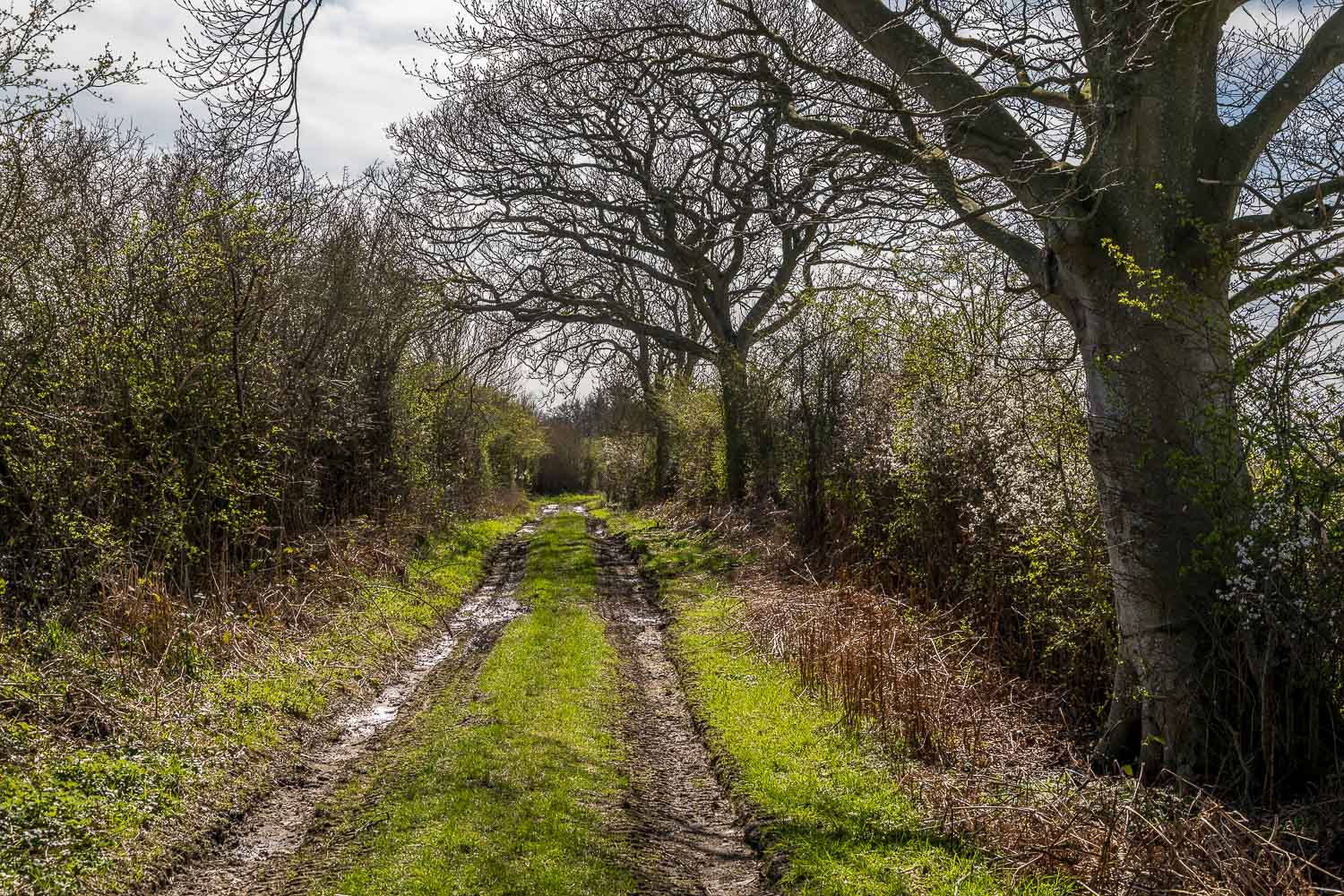
We follow a muddy lane heading inland
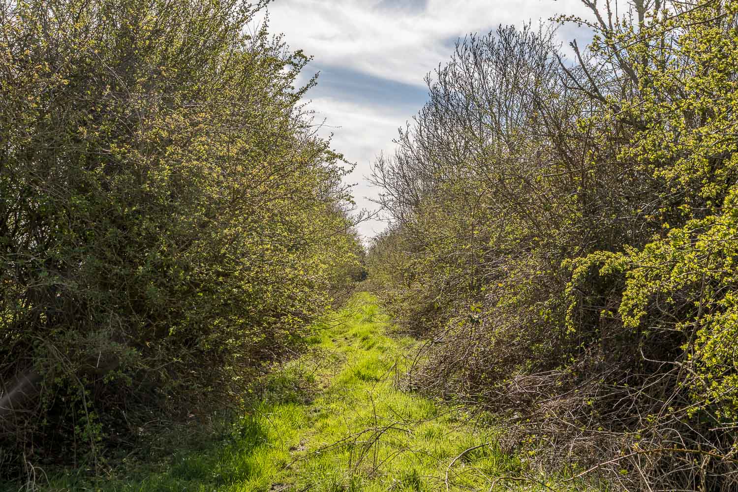
We took a wrong turn here and walked through a field to the left. We retraced our steps to find this narrow parallel path which is easily missed
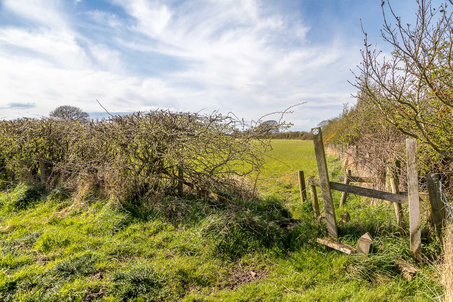
We pass through a succession of fields
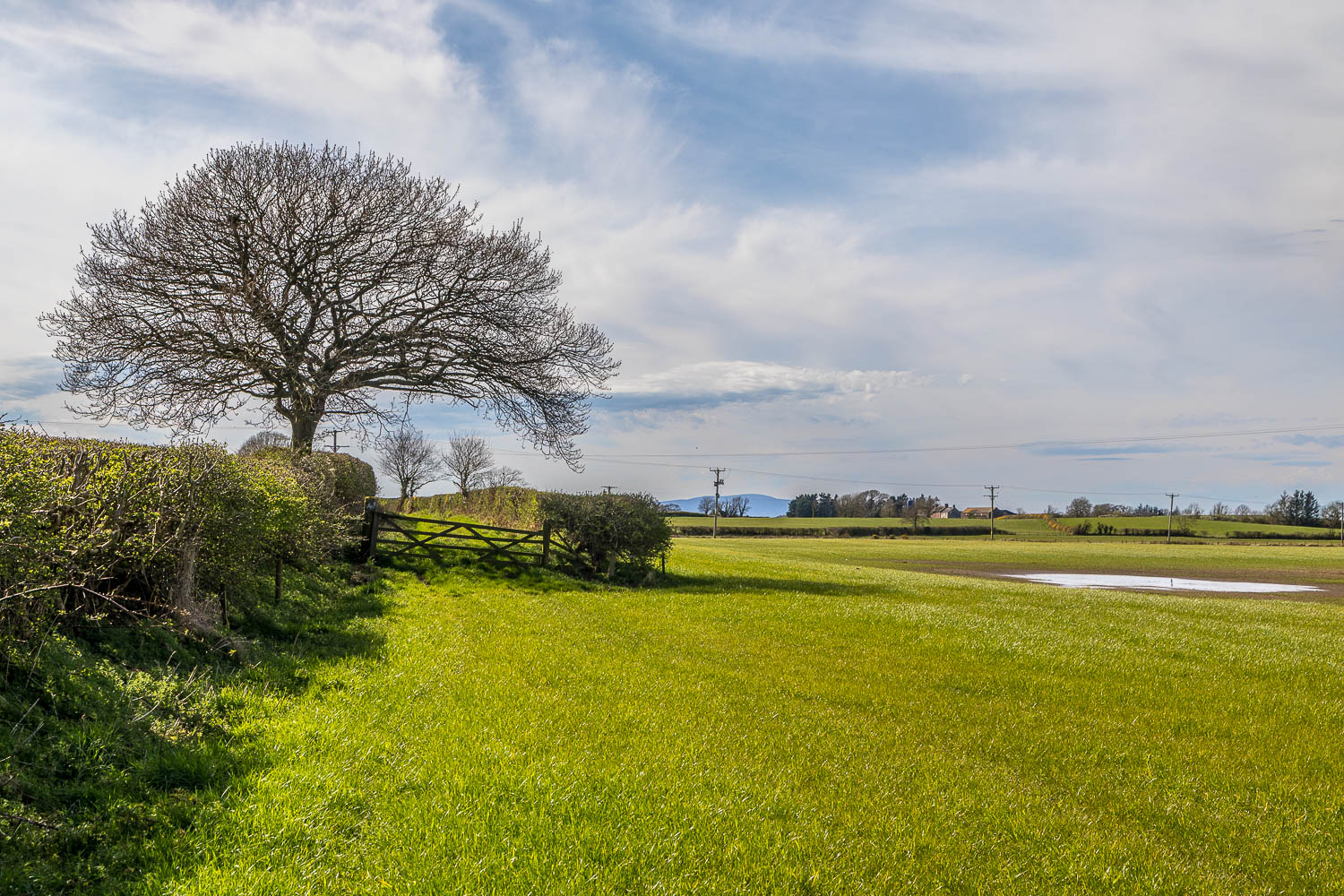
We pass through the gate on the left to follow a track between hedges...
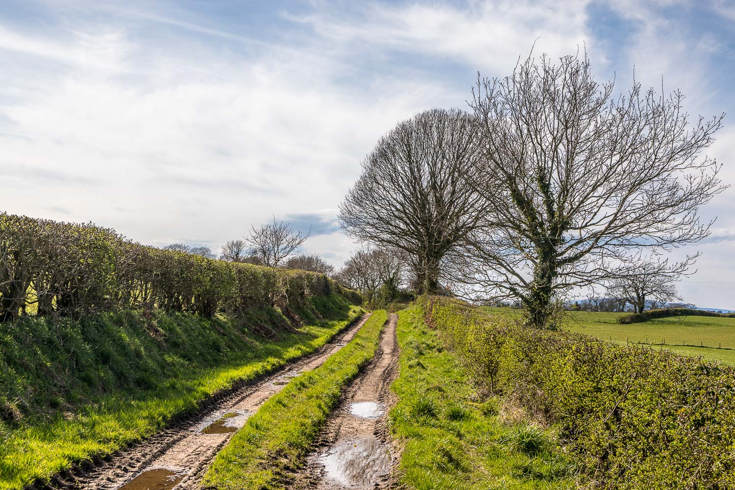
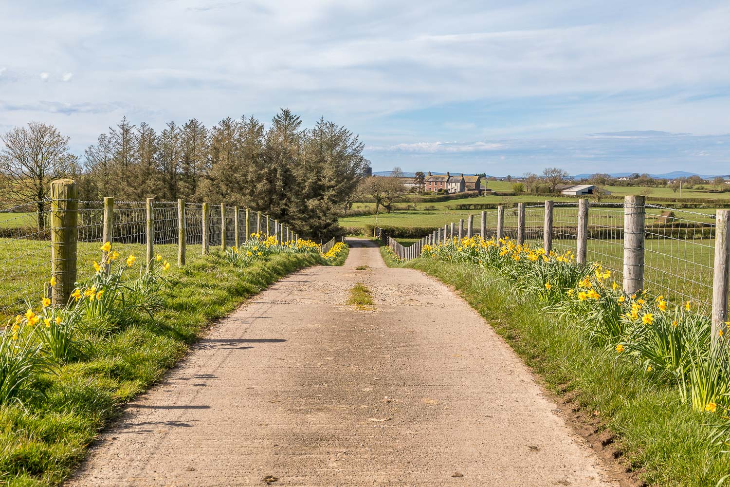
After walking past the farm at Brackenrigg we join a track leading to Bowness Hall
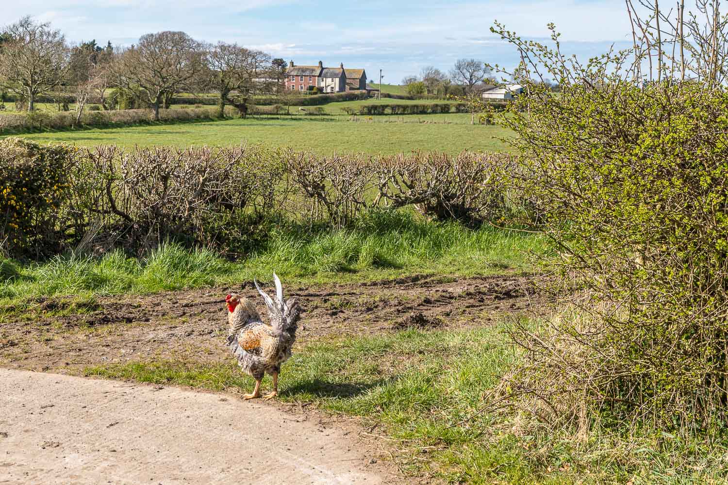
We turn right at the chicken
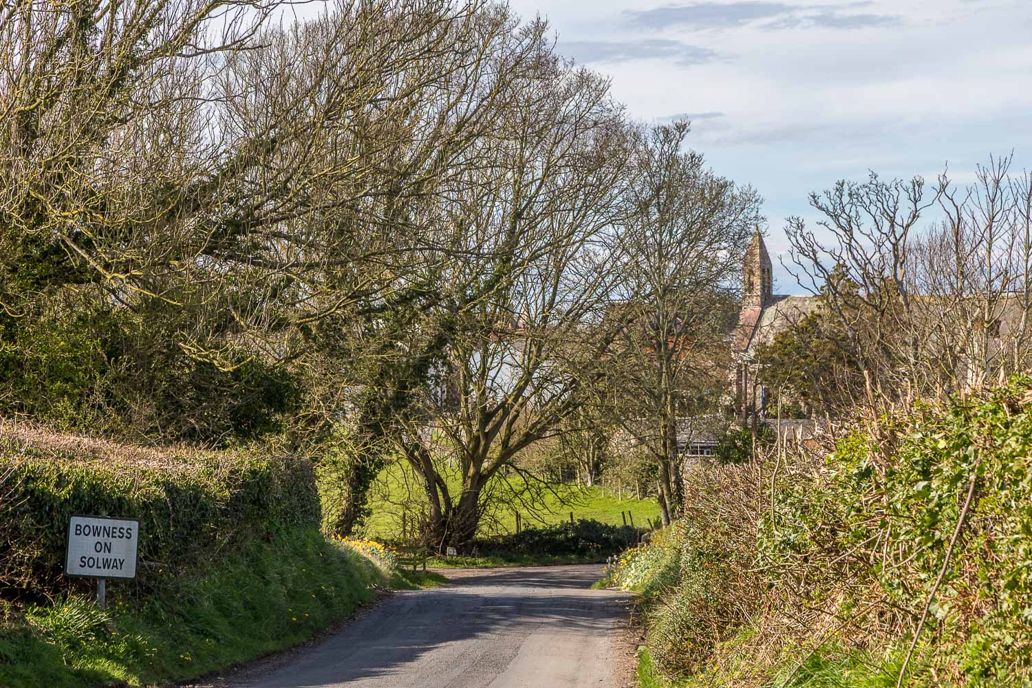
Beyond Bowness Hall we join the road for a few minutes before arriving back in Bowness-on-Solway
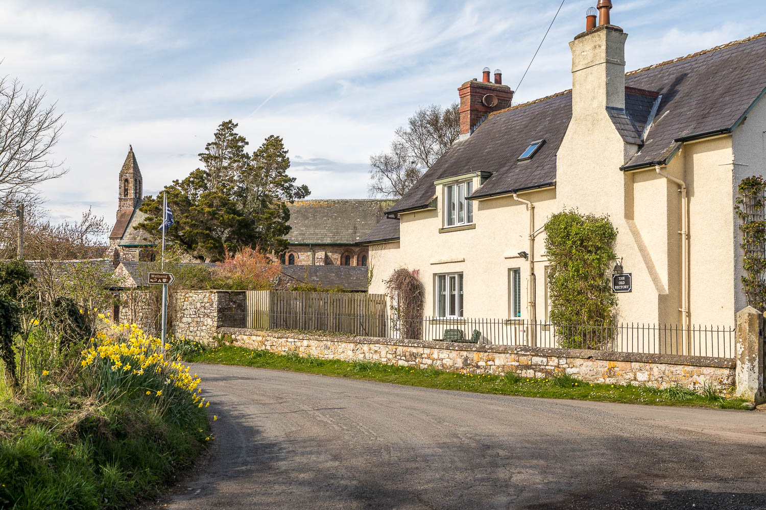
We pass by the Old Rectory
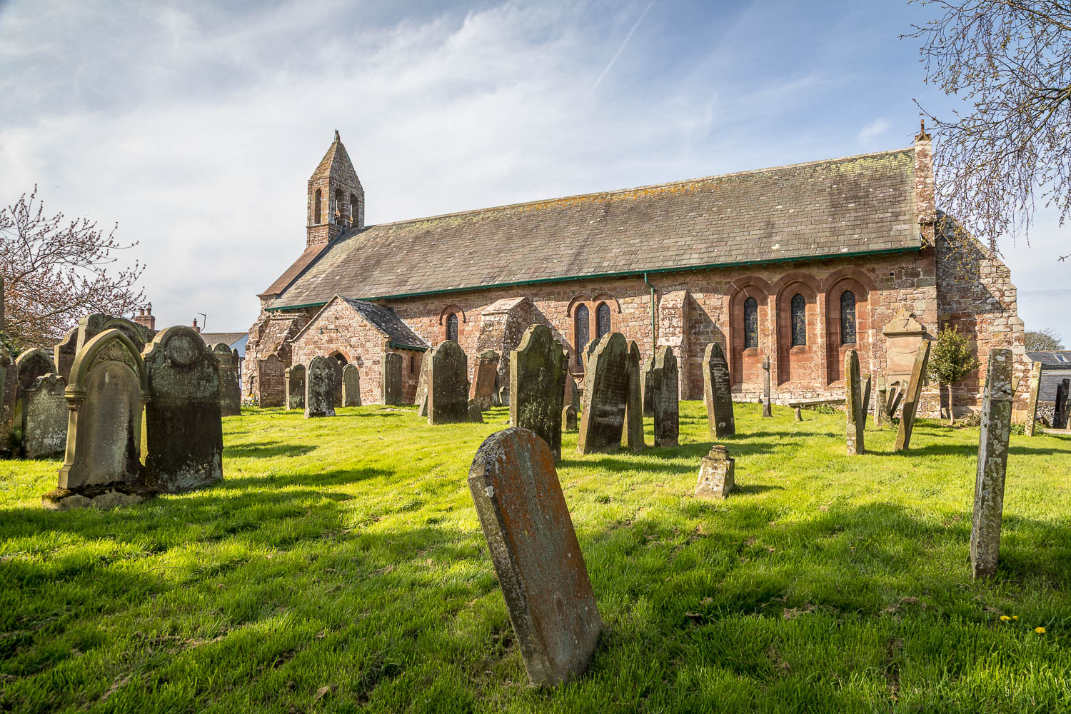
St Michael's Church, Bowness-on-Solway, which was built using stones taken from the Roman Fort of Bowness
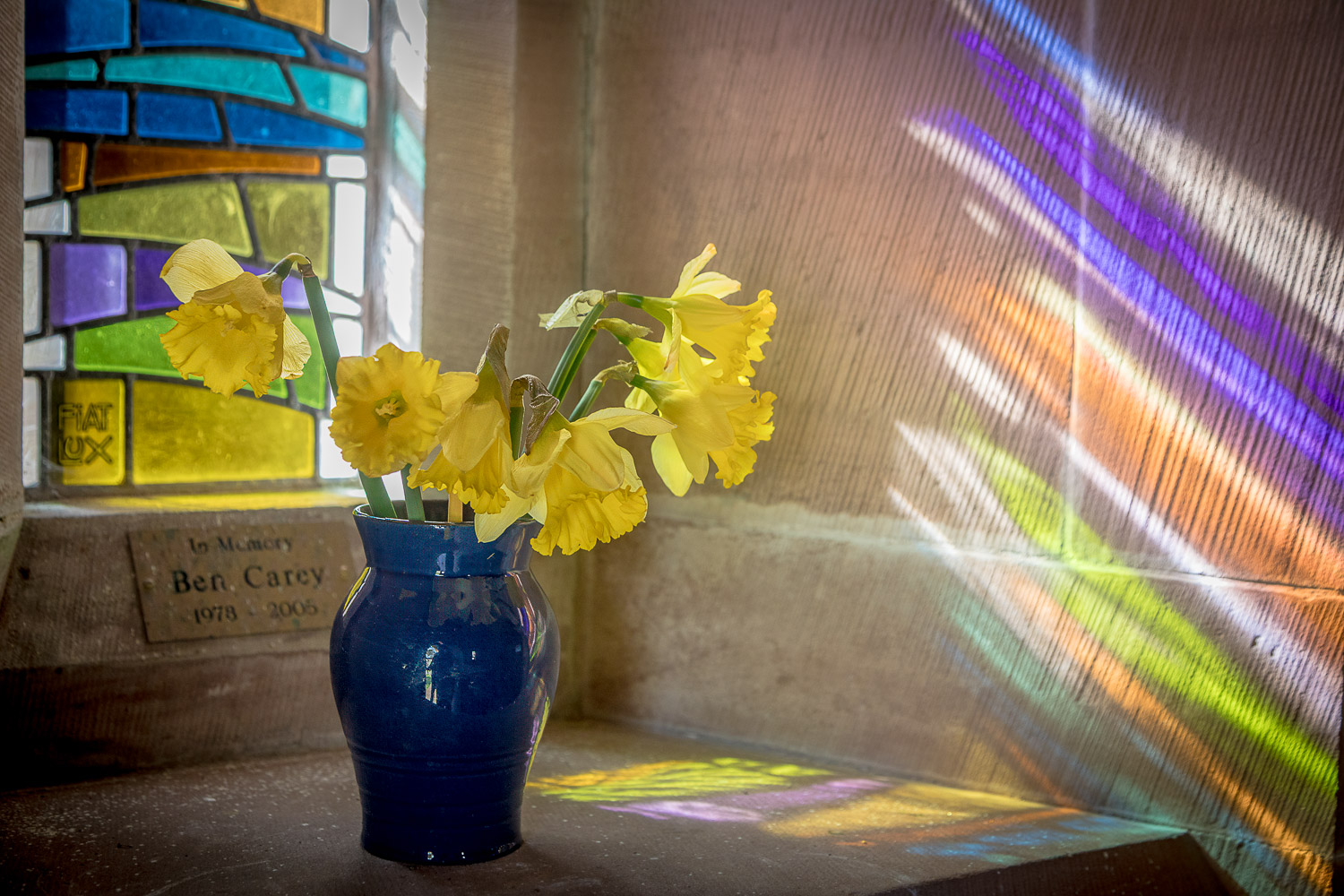
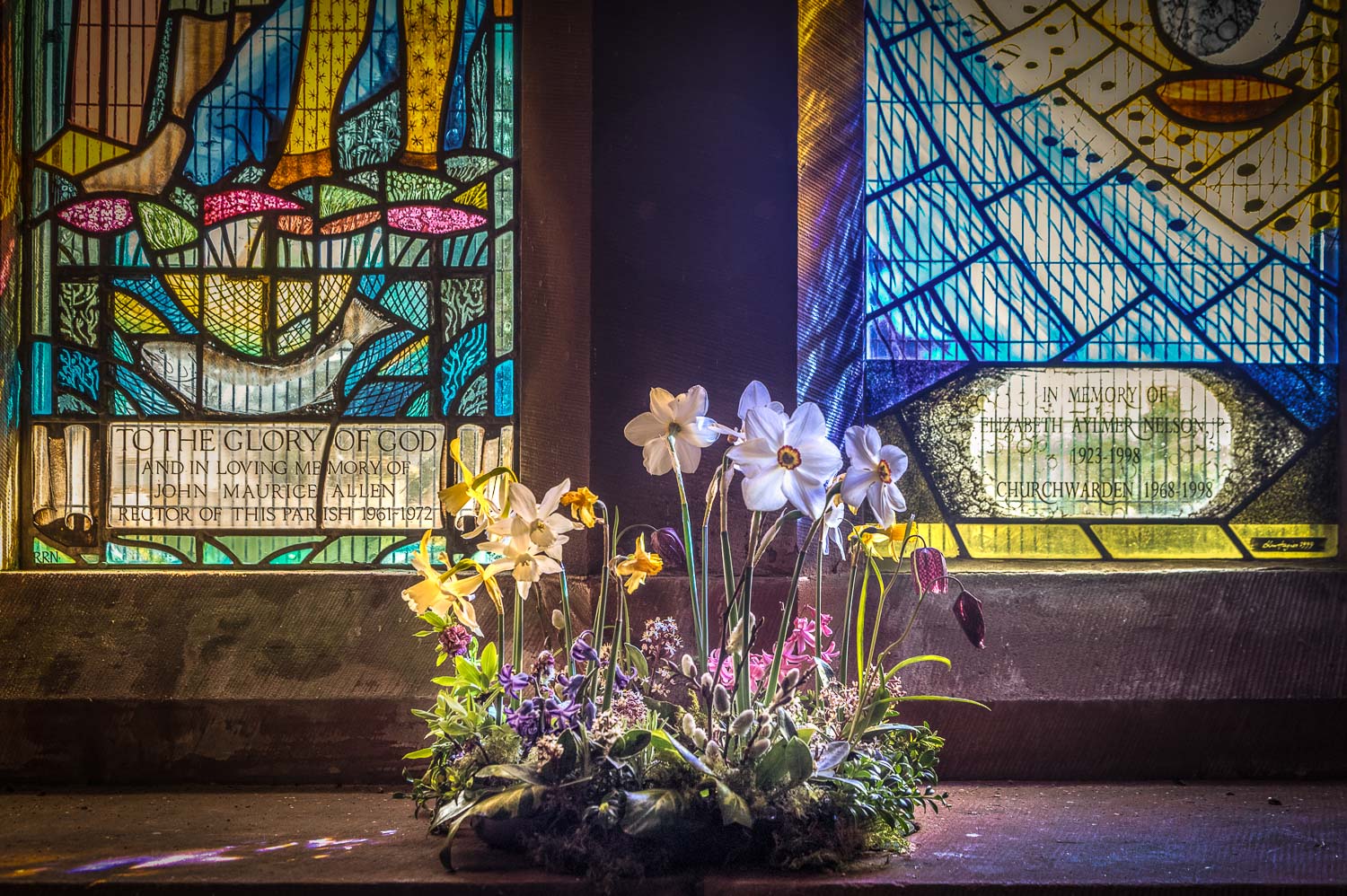
There are 21 stained glass windows in the church, most of which are relatively recent, dating back to the 20th century...
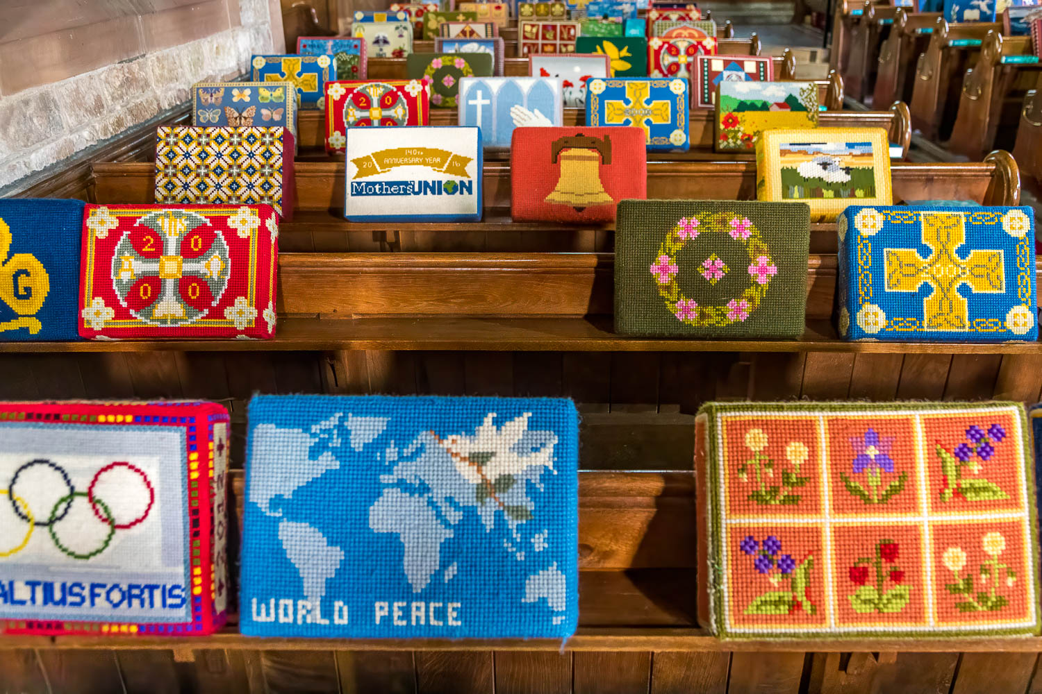
The church also boasts an attractive collection of hassocks and cushions made locally
We leave the church and walk back to the nearby car park to end a very enjoyable walk