

Route: Blelham Tarn from Wray Castle
Area: Southern Lake District
Date of walk: 2nd June 2014
Walkers: Andrew
Distance: 4.7 miles
Weather: overcast with some sunny intervals
I must confess that I’d never heard of Blelham Tarn until I was studying the OS map the night before and noticed its existence, and also that a circular walk could be made around the perimeter. I plotted a route knowing that it was a safe bet that any walk in this area is bound to be a good one
Parking in the area is very limited but as I passed by Wray Castle I spotted that parking is free to National Trust members, so I took a small detour to the castle and left the car there. As soon as I’d done so I realised that the castle is well worth a visit in its own right. I didn’t have time today to do the place justice, so resolved to come back another day. Anyone following this walk is recommended to set aside some extra time for a proper exploration of Wray Castle and its beautiful grounds
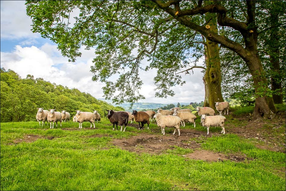
I walked through meadows and fields along the side of Blelham Tarn. I suspect the reason why the tarn is so unfrequented is because the paths are a short distance from the tarn, and it’s not possible to walk along the shore. Nevertheless, there are lovely views over it so this didn’t detract from the walk at all. I made my way through the rolling countryside as far as Outgate at which point I turned back to walk above the other side of the tarn, through woodland and fields
It had been a lovely short low level walk and one which I’d happily repeat
Click on the icon below for the route map (subscribers to OS Maps can view detailed maps of the route, visualise it in aerial 3D, and download the GPX file. Non-subscribers will see a base map)

Scroll down – or click on any photo to enlarge it and you can then view as a slideshow
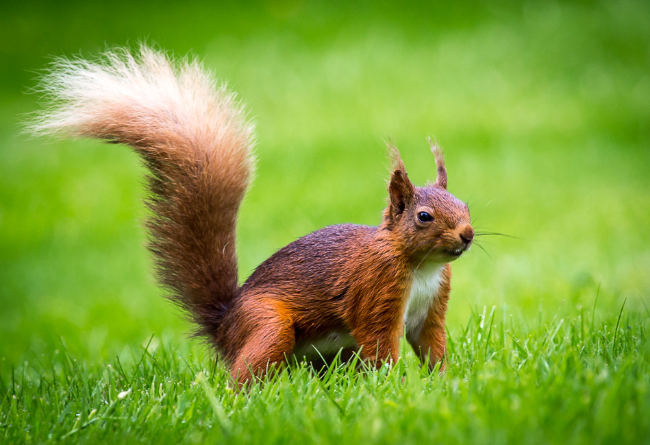
Red squirrel in the garden this morning before I set off

……and a pied wagtail, filling its beak with insects before flying off
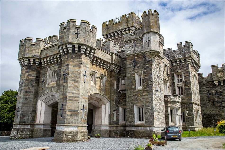
Wray Castle, built as a private house in the Gothic Revival style in 1840

Windermere from the grounds

Windermere again as I leave the castle

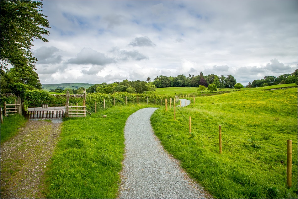
Further along the estate road
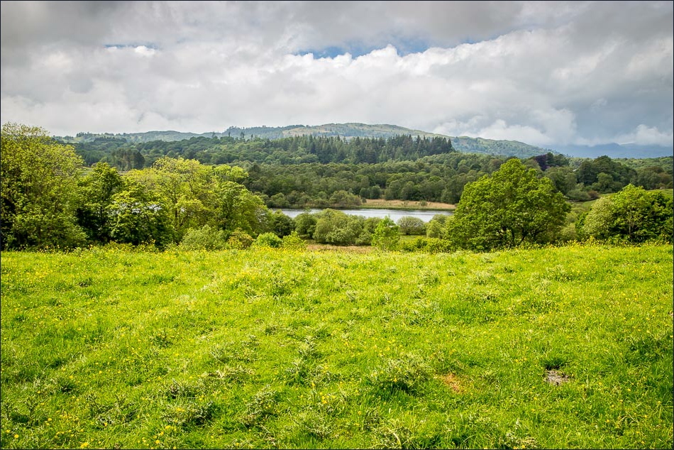
First glimpse of Blelham Tarn

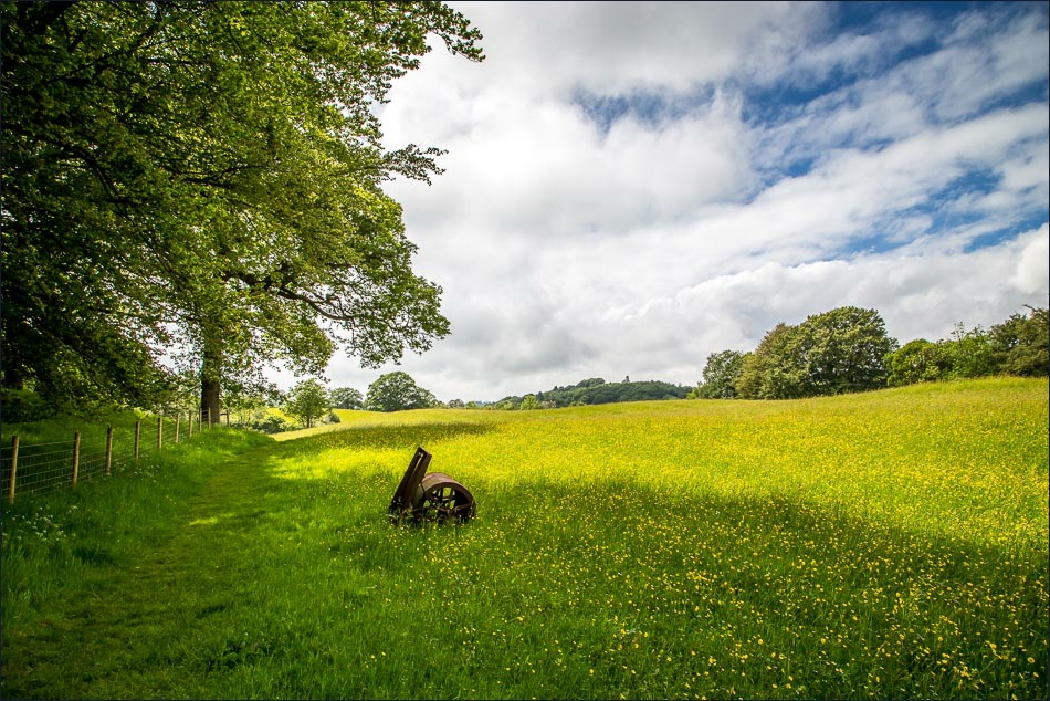
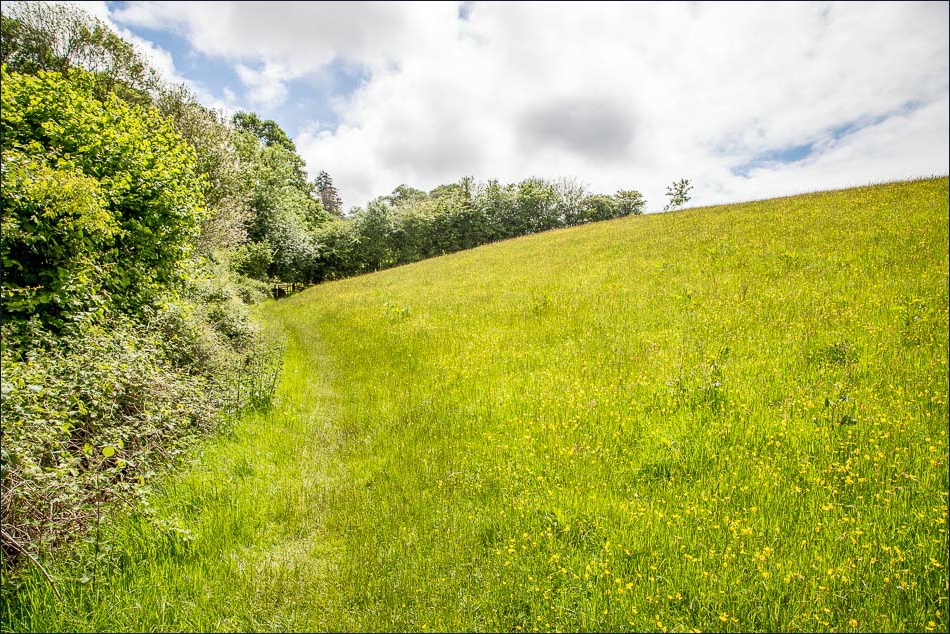
Buttercup meadow
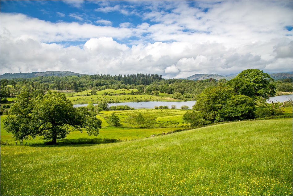
Blelham Tarn

…and again. looking back across the meadow
Heading towards Outgate
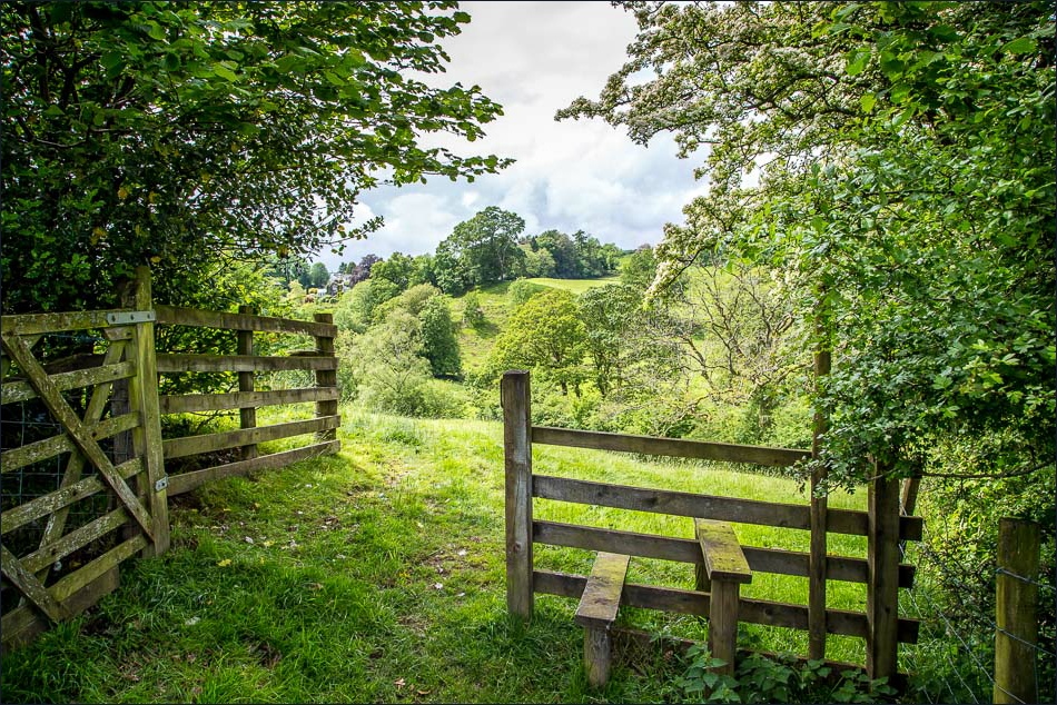
The path into Outgate
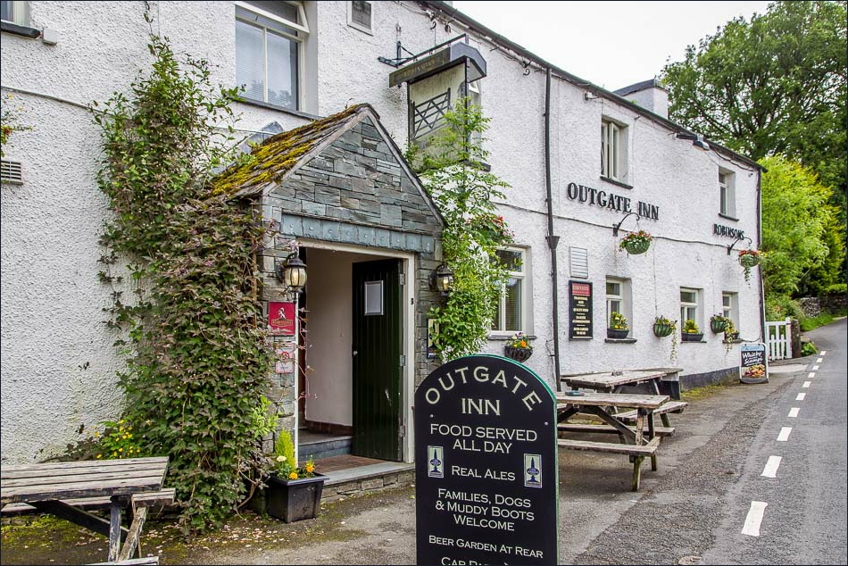
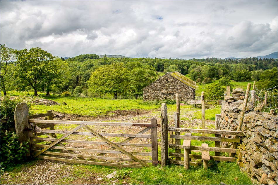
A good place to stop for refreshments at the half way point, but I didn’t have time today
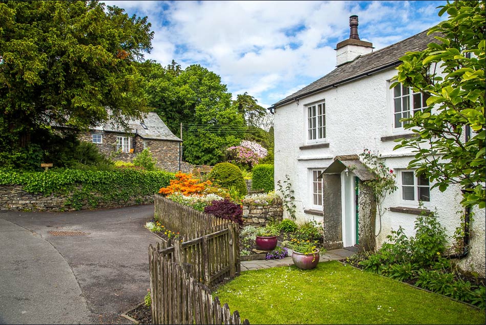
One of the many attractive cottages in Outgate
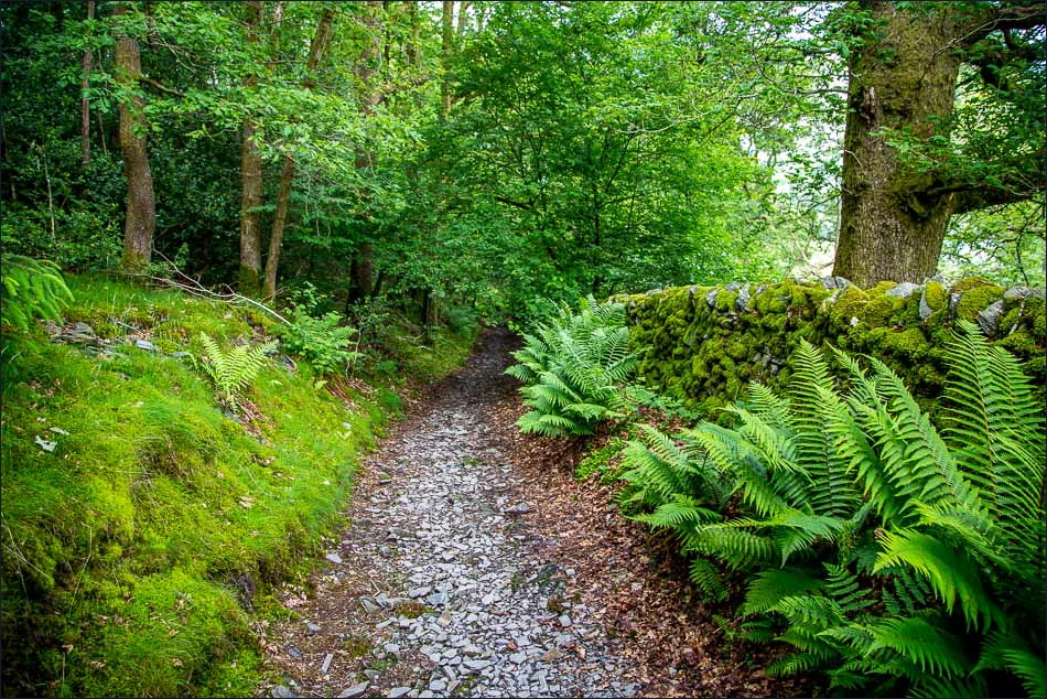
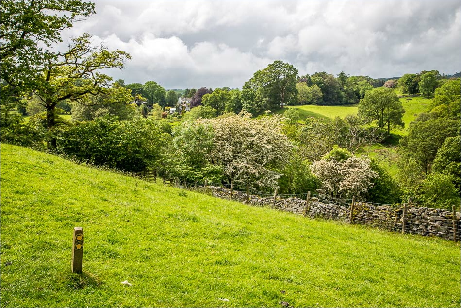
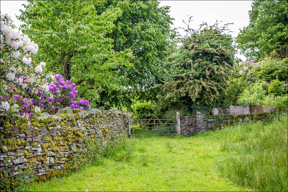
Spicka Coppice on the return leg
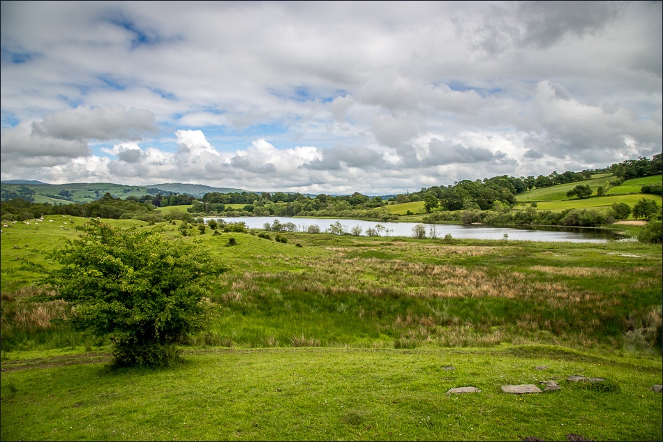
Blelham Tarn again
On the way back to Wray Castle
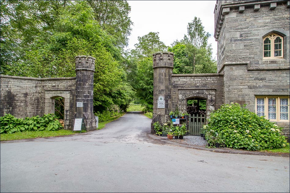
The castle gatehouse

The unmistakeable outline of the Langdale Pikes - as described by Alfred Wainwright - and which we’ve always called ‘the uns’

Back at the castle I folllow the short path to the shore of Windermere before returning to the car
