Route: Traigh na Cille
Area: Isle of Mull, Scotland
Date of walk: 11th September 2026
Walkers: Andrew and Gilly
Distance: 1.0 mile
Ascent: 100 feet
Weather: Weak sun, very hazy
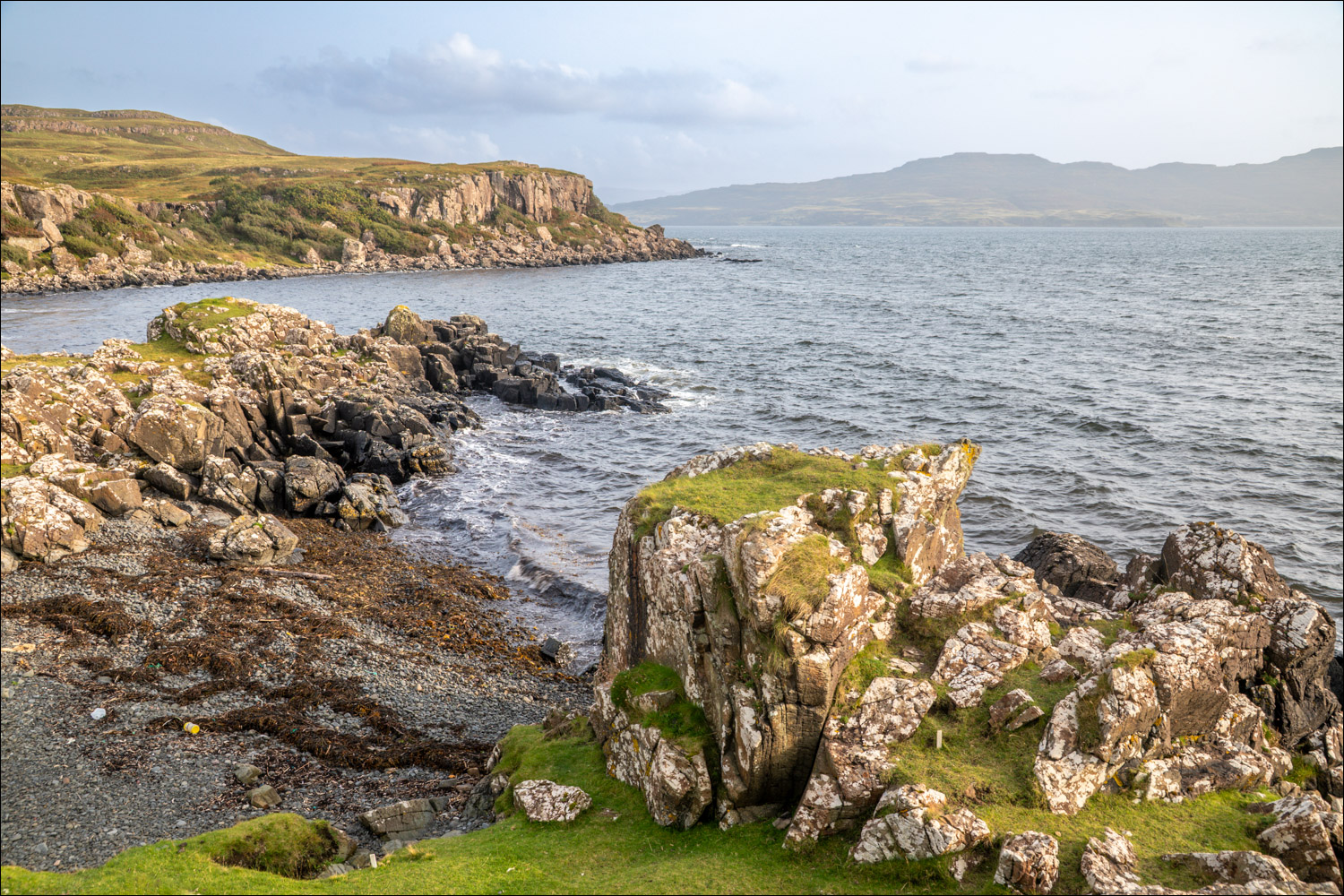
We’ve not visited the Isle of Mull since our honeymoon, 42 years ago, far too long an absence for such a wonderful place. We were lucky to be able to catch an earlier ferry from Oban than the one we’d booked and, having checked into our holiday accommodation, we had sufficient time for a short evening walk – an unexpected bonus. We decided to visit nearby Traigh na Cille, The Black Beach, so named on account of its black sands formed during volcanic eruptions around 60 million years ago
We made the short journey along the narrow B8073 and parked by a small stone bridge, where there is limited parking for a couple of cars (make sure to keep the access free and the passing place unobstructed).
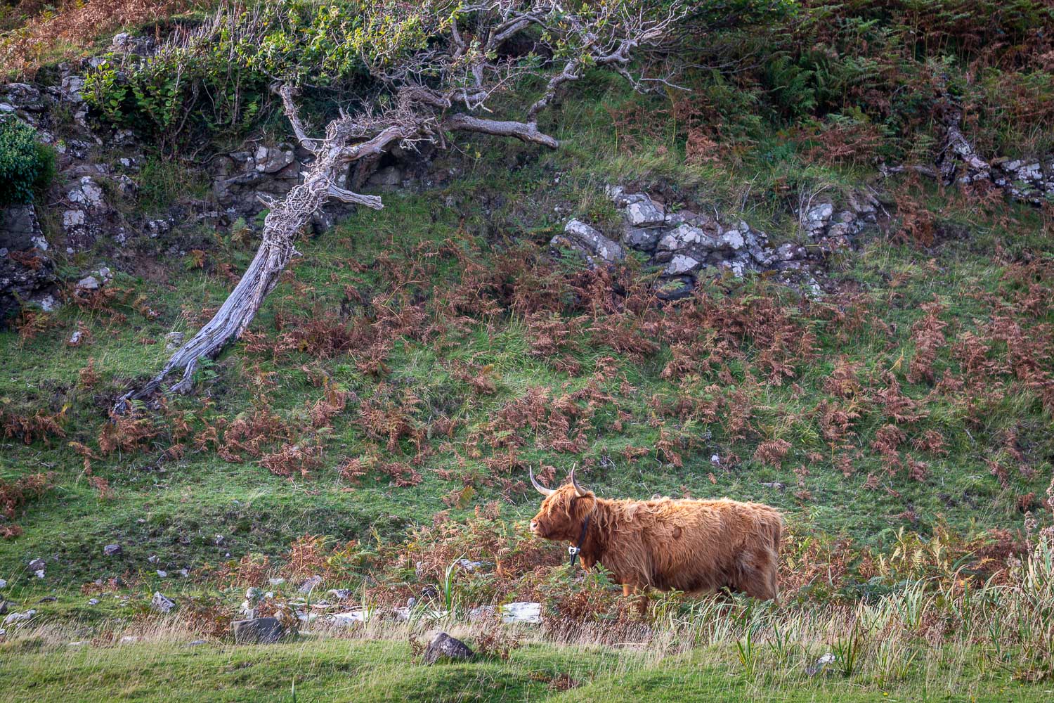
We passed through a deer gate and followed an easy track through a small woodland of broadleaf trees. This opened out into a grassy area grazed by sheep and highland cattle. After crossing a bridge next to a ford we descended to Traigh na Cille, enjoying lovely but very hazy views across Loch Tuath to Ulva and Gometra
Thanks to the ferry schedules and the distance we’d travelled today, we had no choice in our timing. We’d arrived at high tide, so there was little to see of the dark sand which gives the beach its name, nor did we spot any otters which often come ashore to eat their catch. We wandered around the beach for a while, but further exploration along the coast isn’t possible thanks to the rough terrain. We then retraced our steps back to the start of a short, simple, but satisfying walk
Postscript: we returned to the beach on the final day of our holiday in the hope of spotting otters, which had eluded us all week, and had a good sighting of one which, needless to say, disappeared before I could get the camera out of the bah
Click on the icon below for the route map (subscribers to OS Maps can view detailed maps of the route, visualise it in aerial 3D, and download the GPX file. Non-subscribers will see a base map)

Scroll down – or click on any photo to view as a slideshow
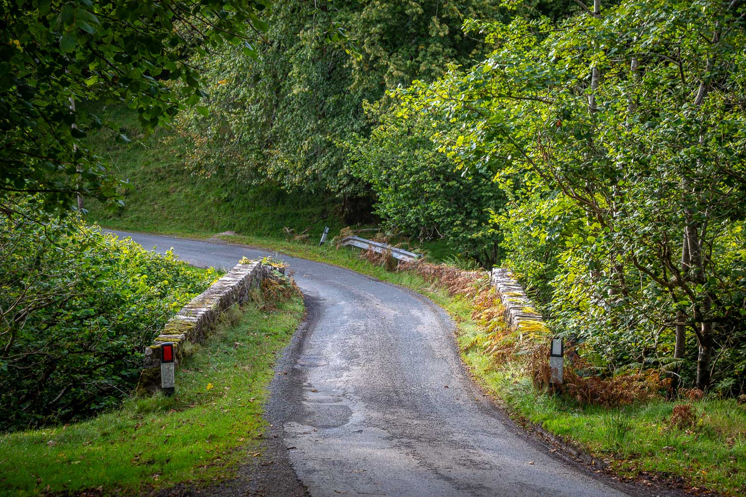
We park near this stone bridge on the single track B8073
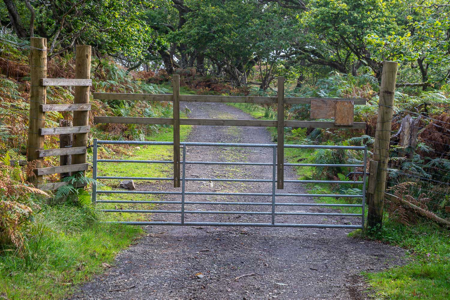
We pass through this deer gate and follow the track through oak woodland...
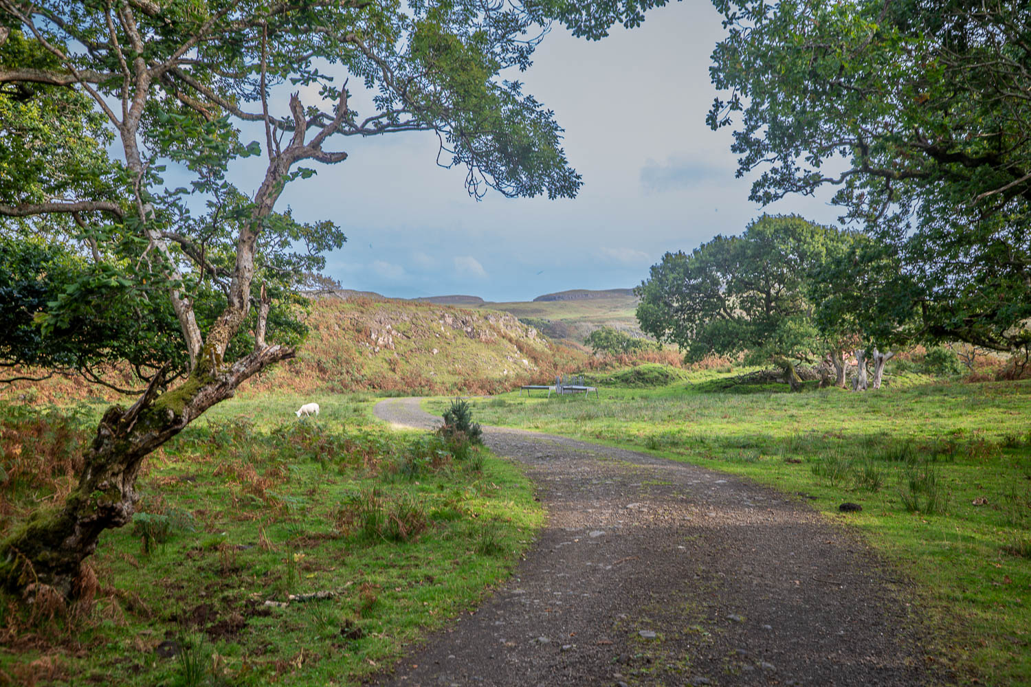
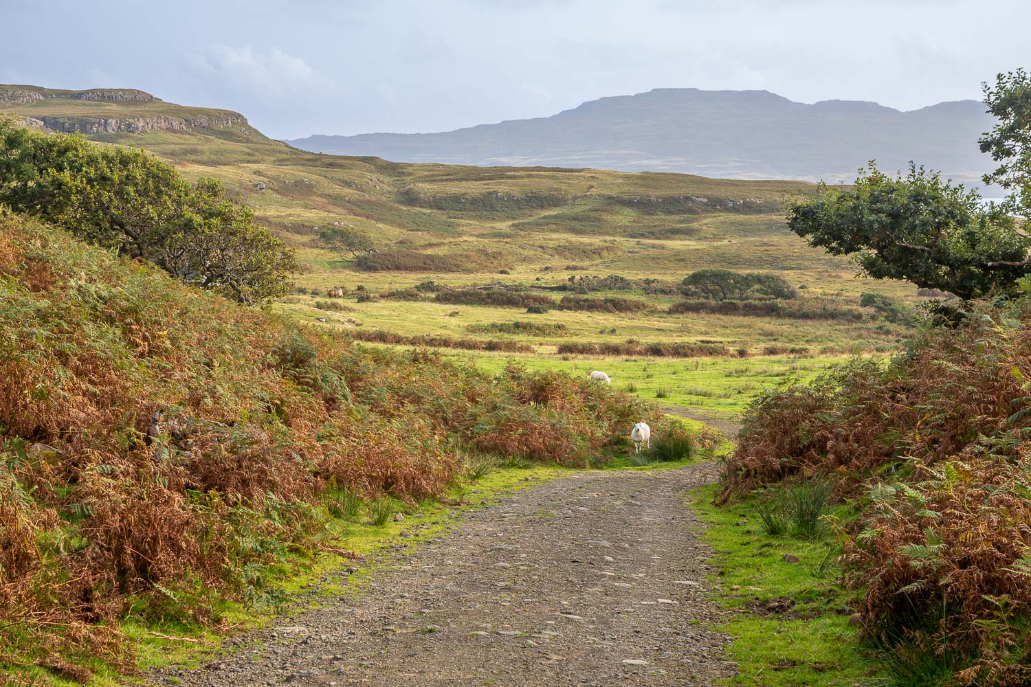
Beyond the woodland we continue along the track, branching right to head for the beach
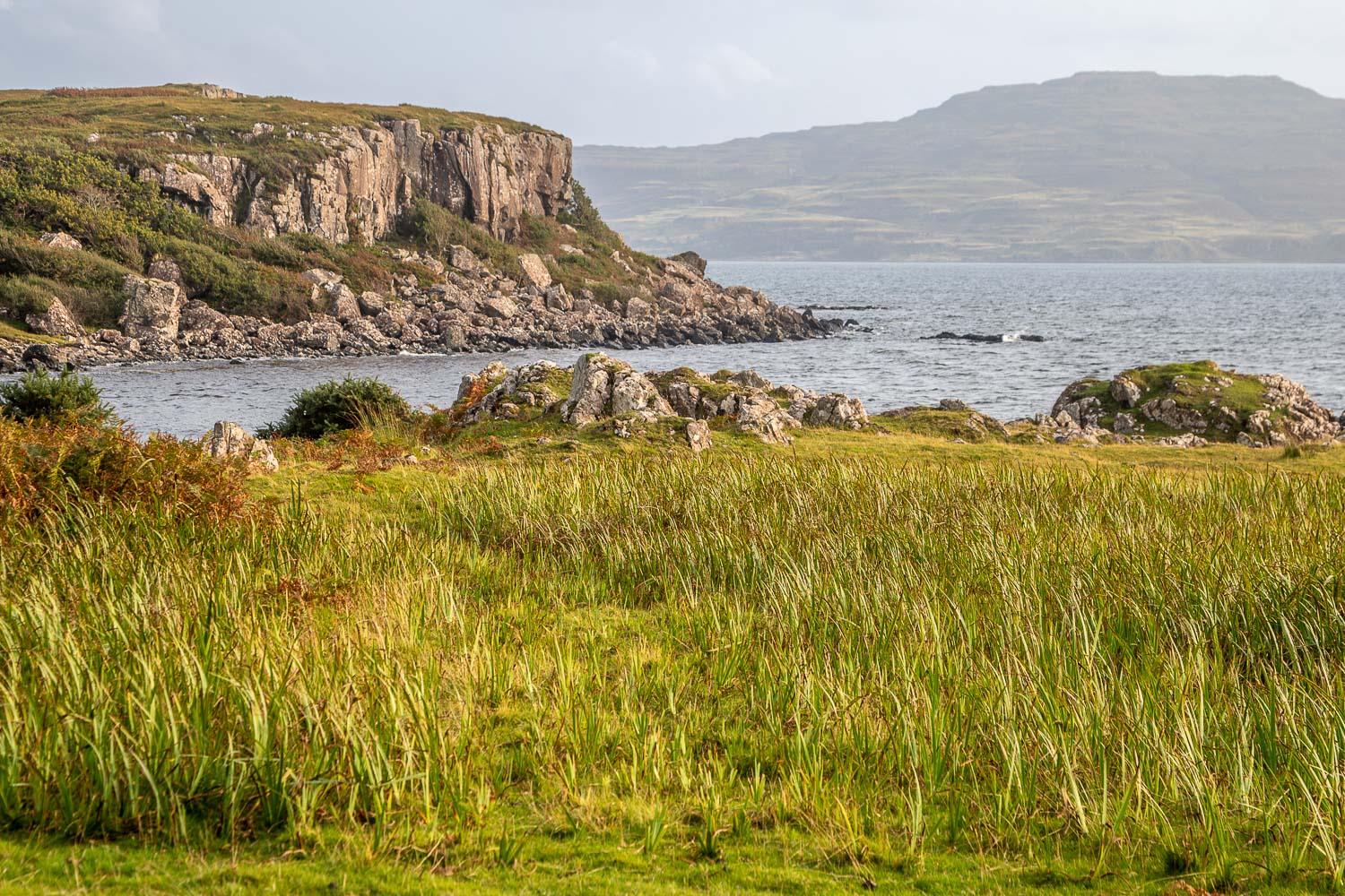
Loch Tuath
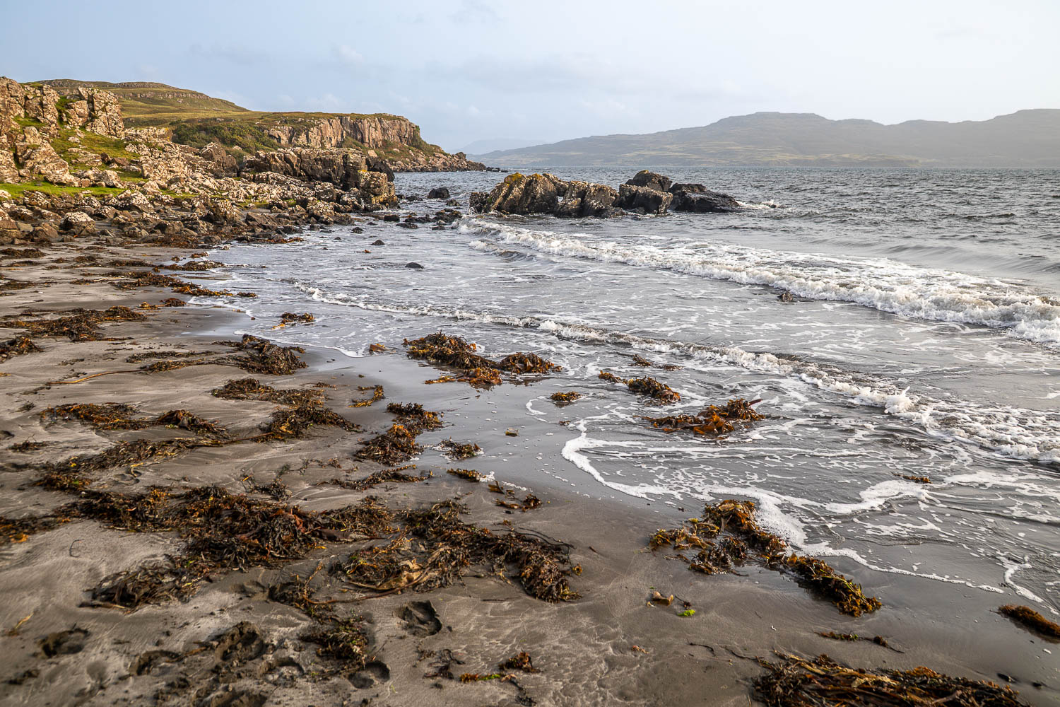
We arrive on deserted Traigh na Cille, or The Black Beach, at high tide
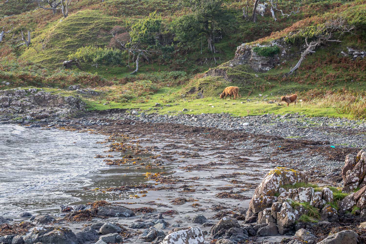
Highland cattle grazing nearby...
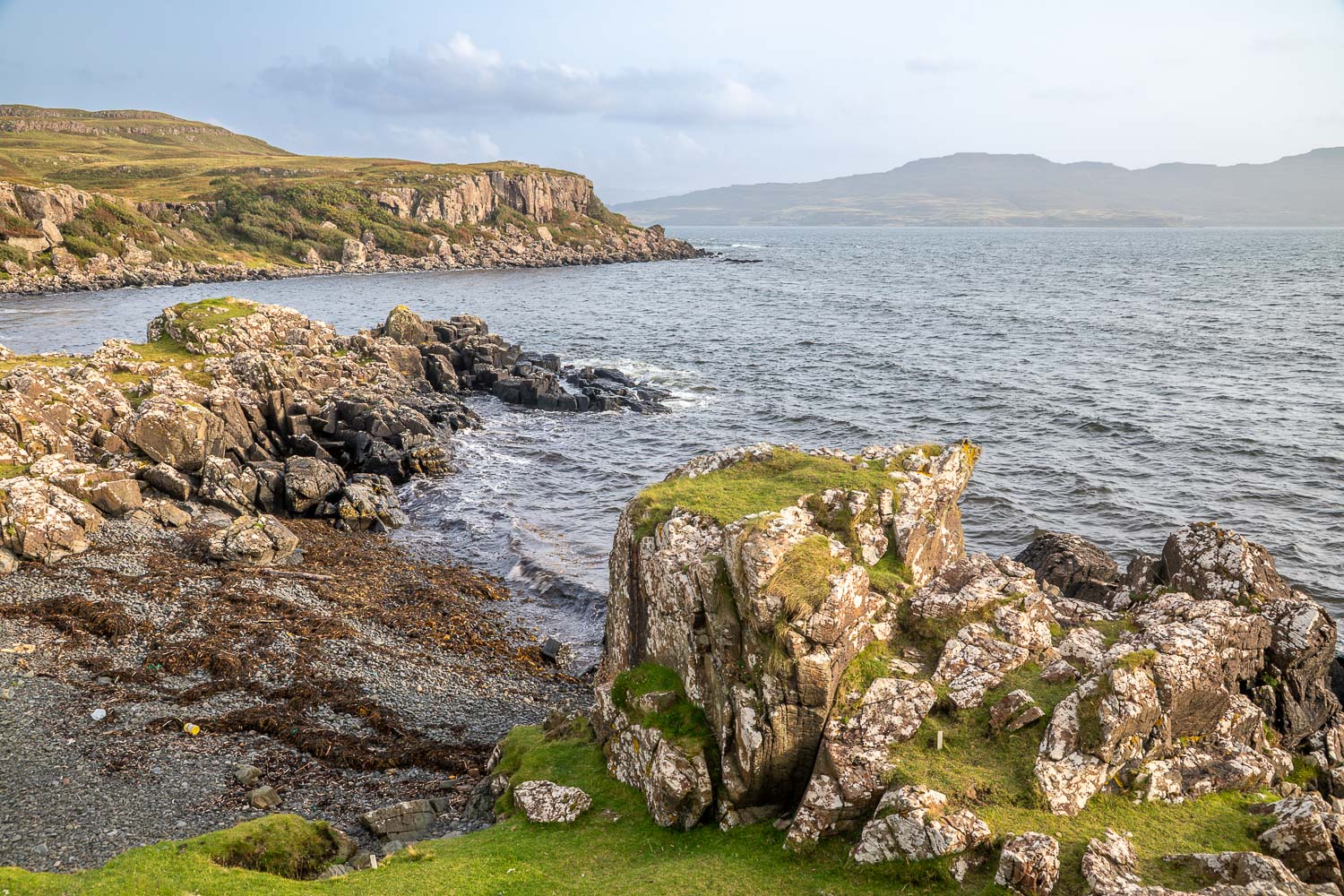
Looking along the rocky coastline, with Ulva in the distance
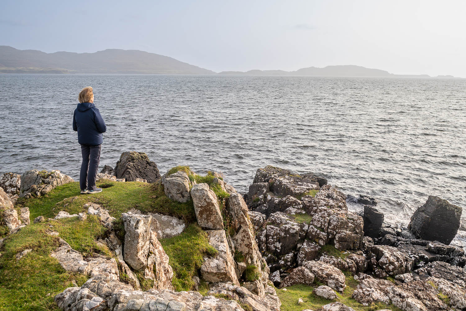
Gazing out to sea
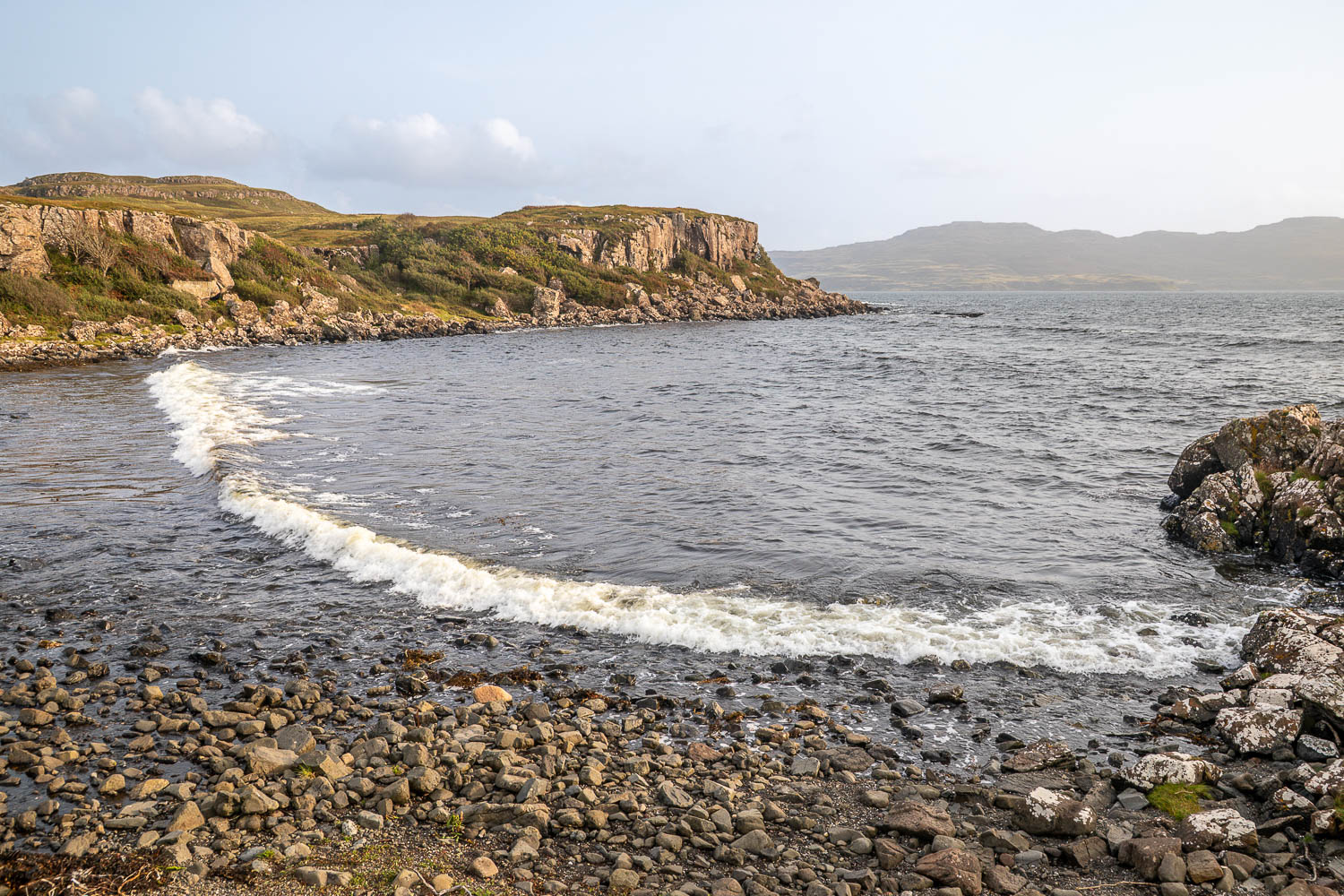
We wander across to a rocky section of the beach
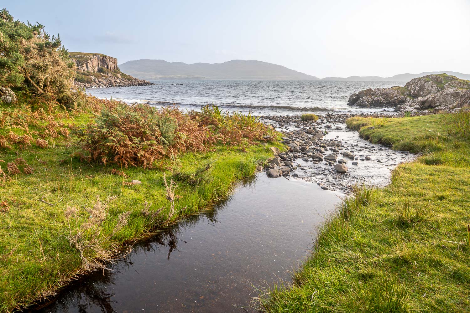
Looking along a small burn which drains onto Loch Tuath
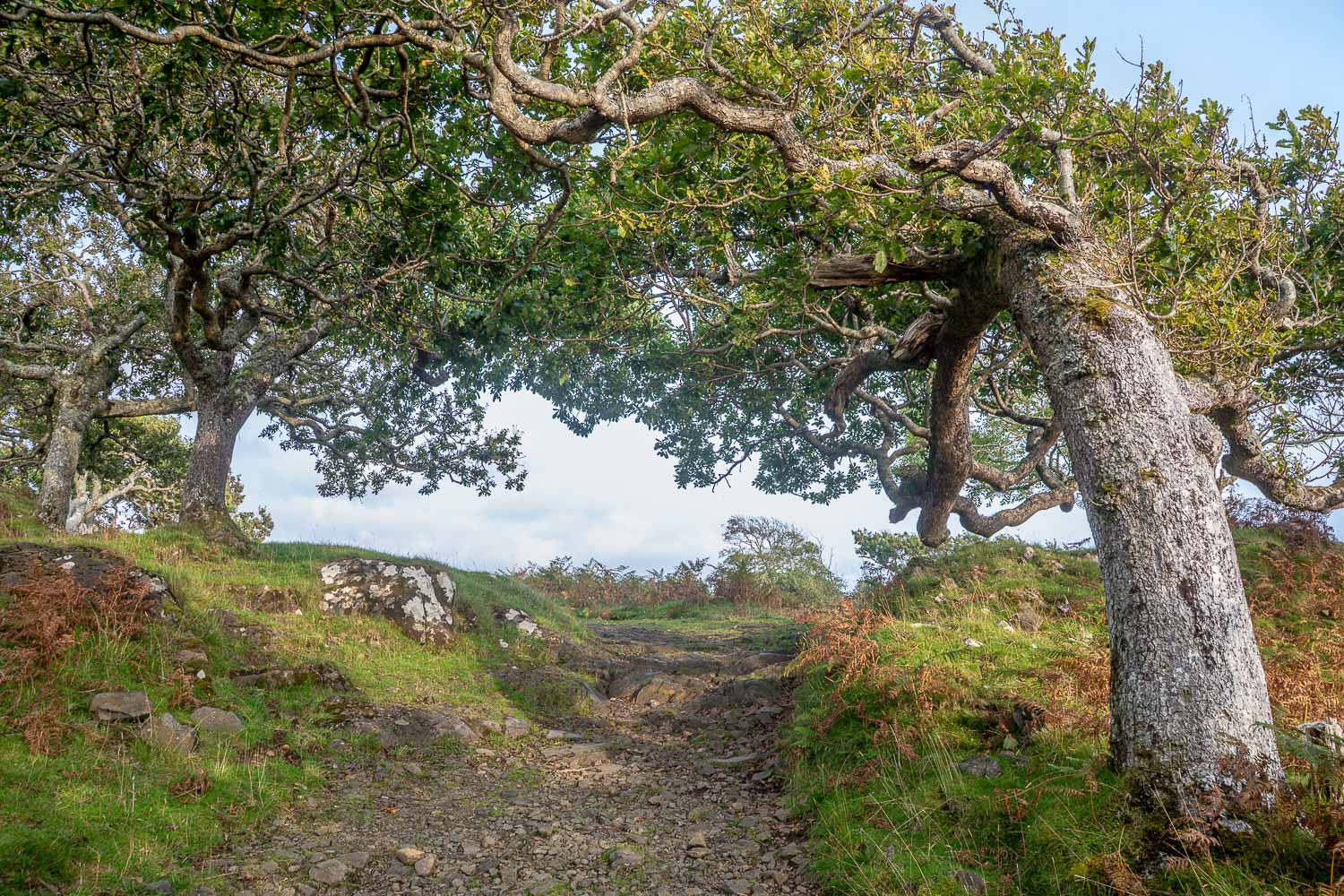
Windswept trees as we retrace our steps back to the start