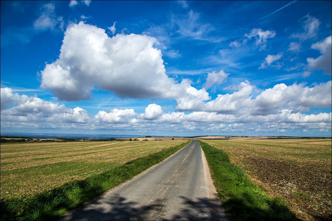
Route: Thixendale to Wintringham (Yorkshire Wolds Way stage 5)
Area: North Yorkshire
Date of walk: 26th August 2016
Walkers: Andrew
Distance: 13.0 miles
Ascent: 1,400 feet
Weather: Sun and blue skies
Today was the 5th stage of my walk along the Yorkshire Wolds Way, a long distance path from Hessle on the bank of the Humber to the cliffs above Filey. I’m not walking on consecutive days but instead have chosen nibble away at the 79 mile route as it suits me, and the time it takes me to reach the finishing line is of no consequence
As this is a linear walk, two cars were needed and Mrs Andrewswalks kindly followed me to Wintringham, where I parked near the church, and we then drove to Thixendale for the start of the walk
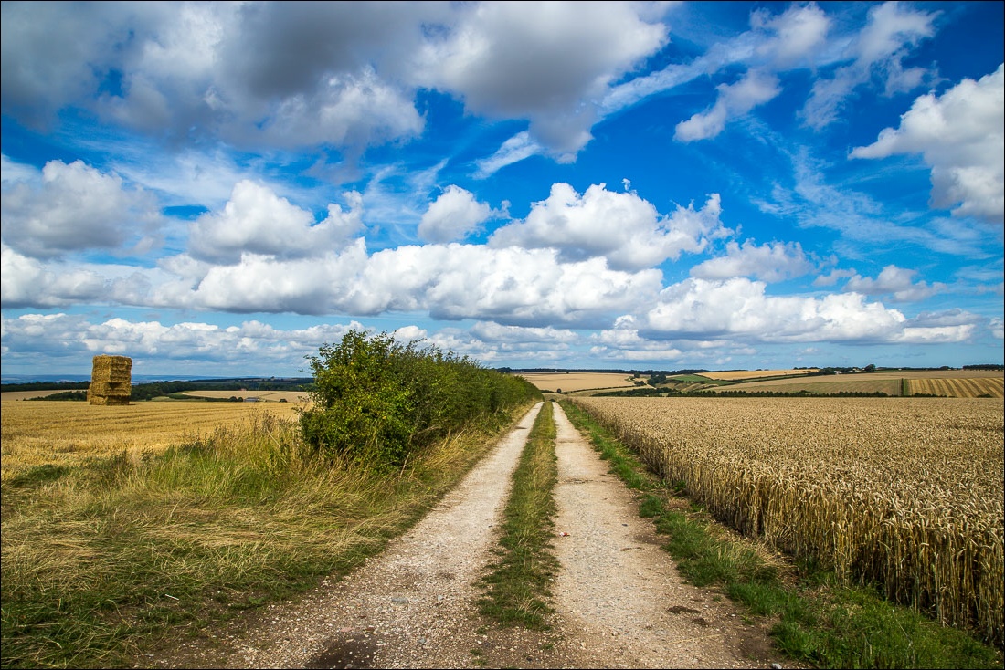
It was a glorious day as I walked out of the village and joined the Wolds Way to climb up to Cow Wold. Big skies and clear air were perfect for a walk like this, and showed the surrounding countryside at its best. After about 3 miles there’s a choice of routes, with an option to visit the site of the medieval village of Wharram Percy without adding any mileage, so I took advantage of that and was glad to have done so
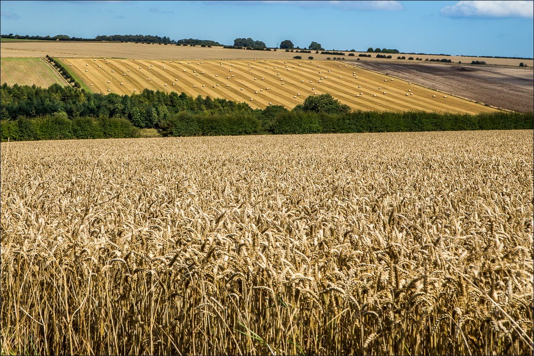
The rest of the walk was through typical Wolds countryside – gently rolling hills, chalk valleys and huge views from the tops. The Wolds Way is superbly waymarked every step of the way and it would be hard to get lost. It’s also possible to make quick progress, and I hoovered up the miles thanks to the straight paths and gentle ascents. It took me just over 4 hours to reach Wintringham and I enjoyed every minute
Follow the links to see: Stage 1 Stage 2 Stage 3 Stage 4 Stage 6 Stage 7
Click on the icon below for the route map (subscribers to OS Maps can view detailed maps of the route, visualise it in aerial 3D, and download the GPX file. Non-subscribers will see a base map)

Scroll down – or click on any photo to enlarge it and you can then view as a slideshow
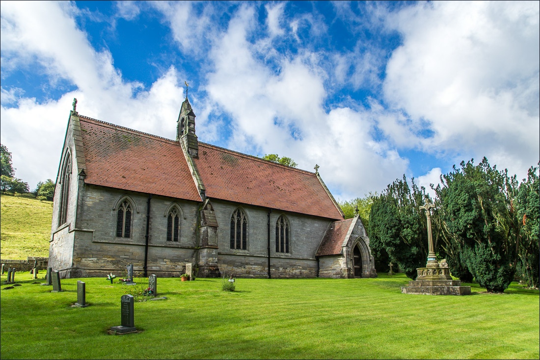
St Mary’s Church Thixendale at the start of the walk
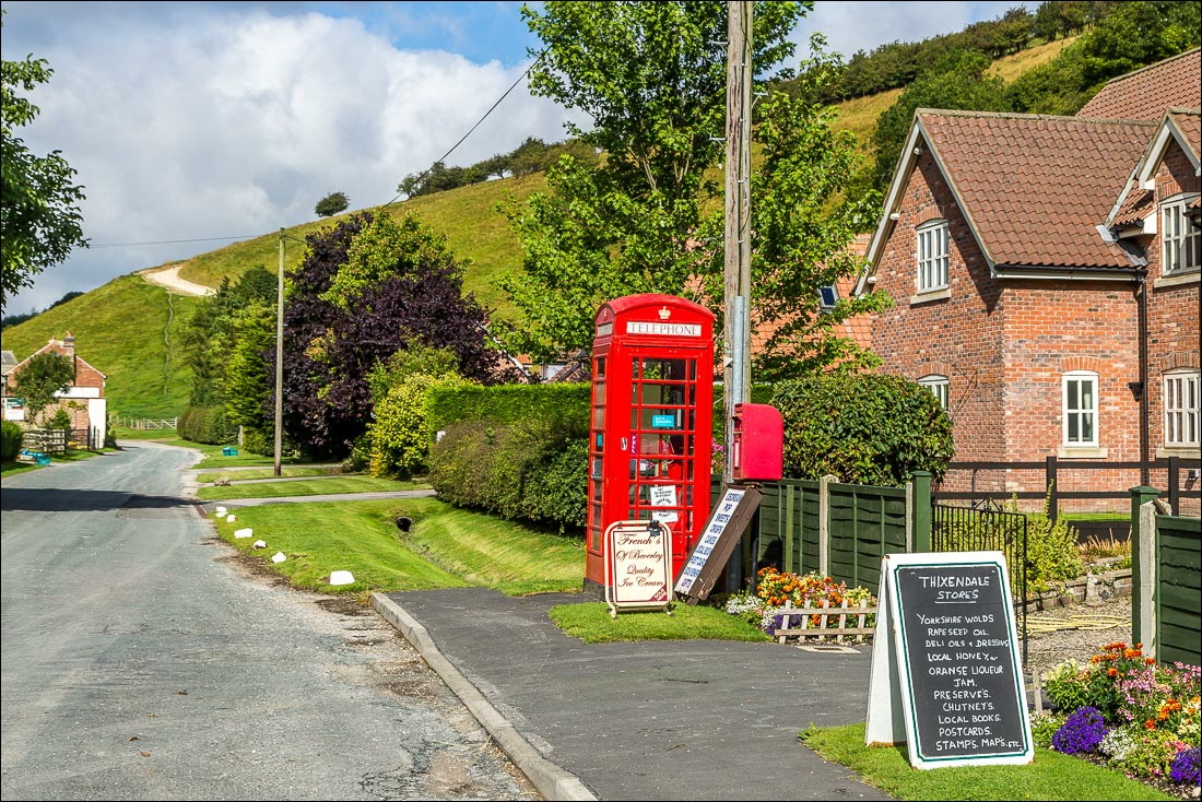
Passing by Thixendale Stores as I walk out of the village towards the chalk track on Beamer Hill
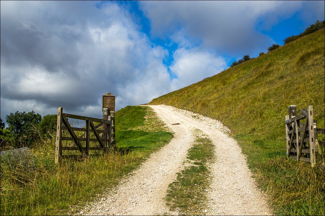
The first of several climbs along the way
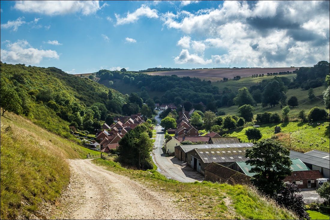
Looking back over Thixendale
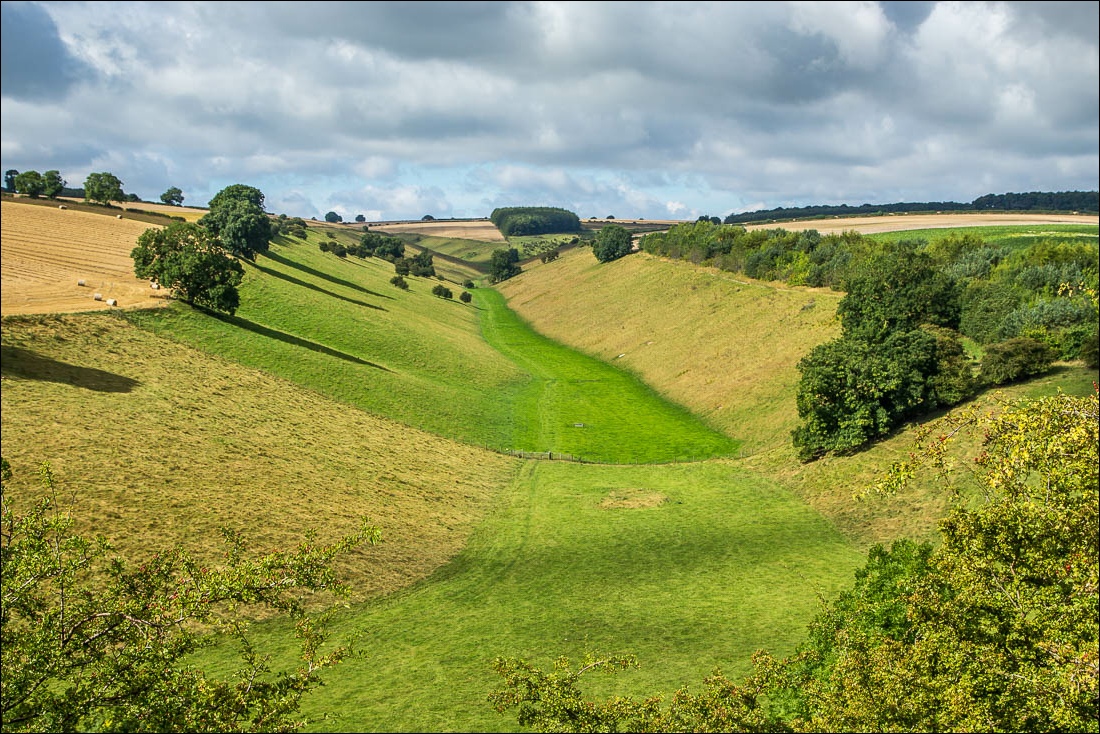
Thixen Dale
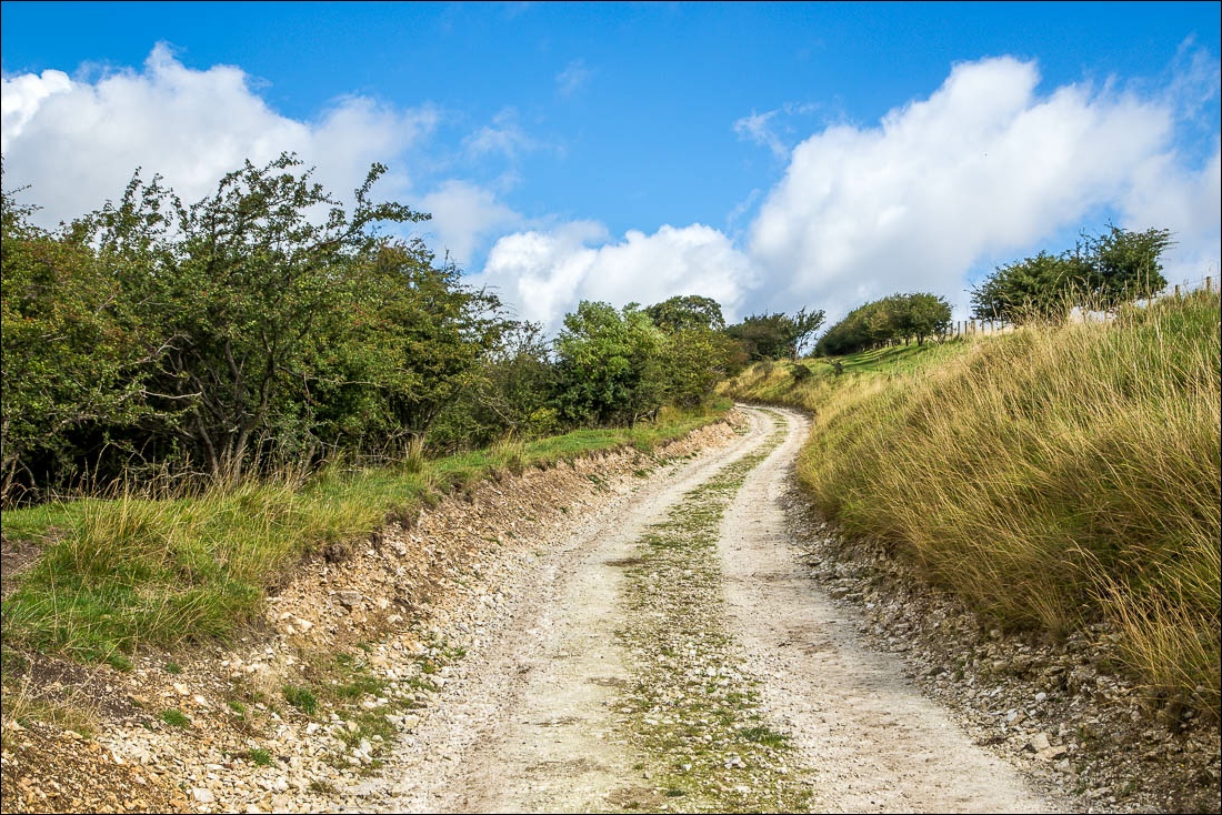
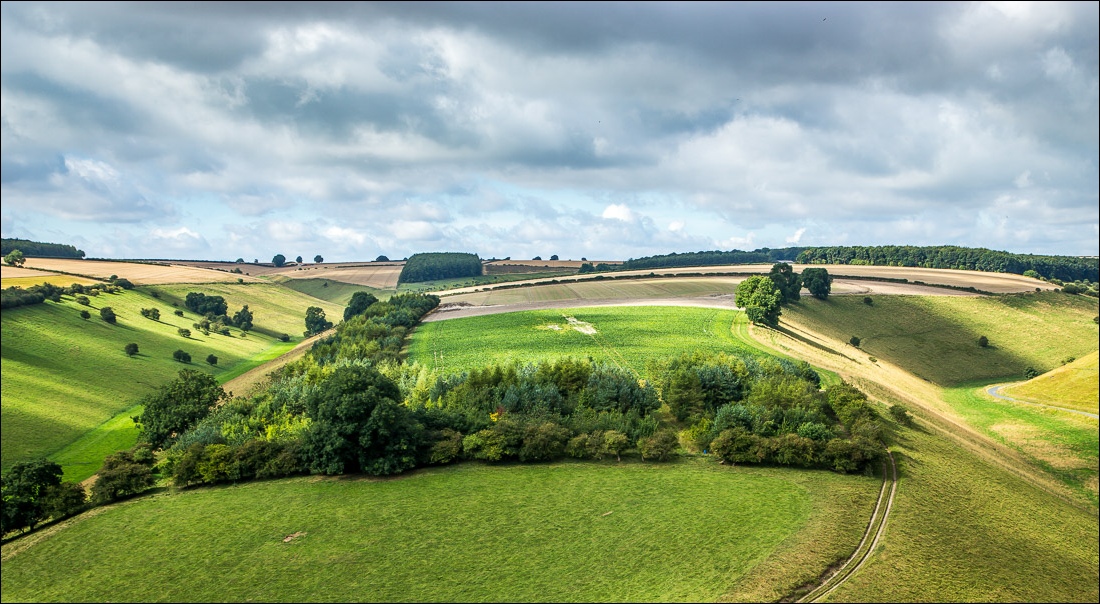
The Rigg, separating Thixendale and Water Dale
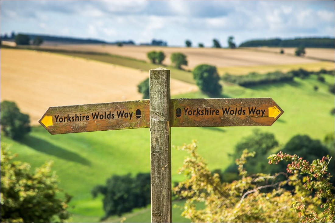
The acorn symbol which is used on national trails such as this
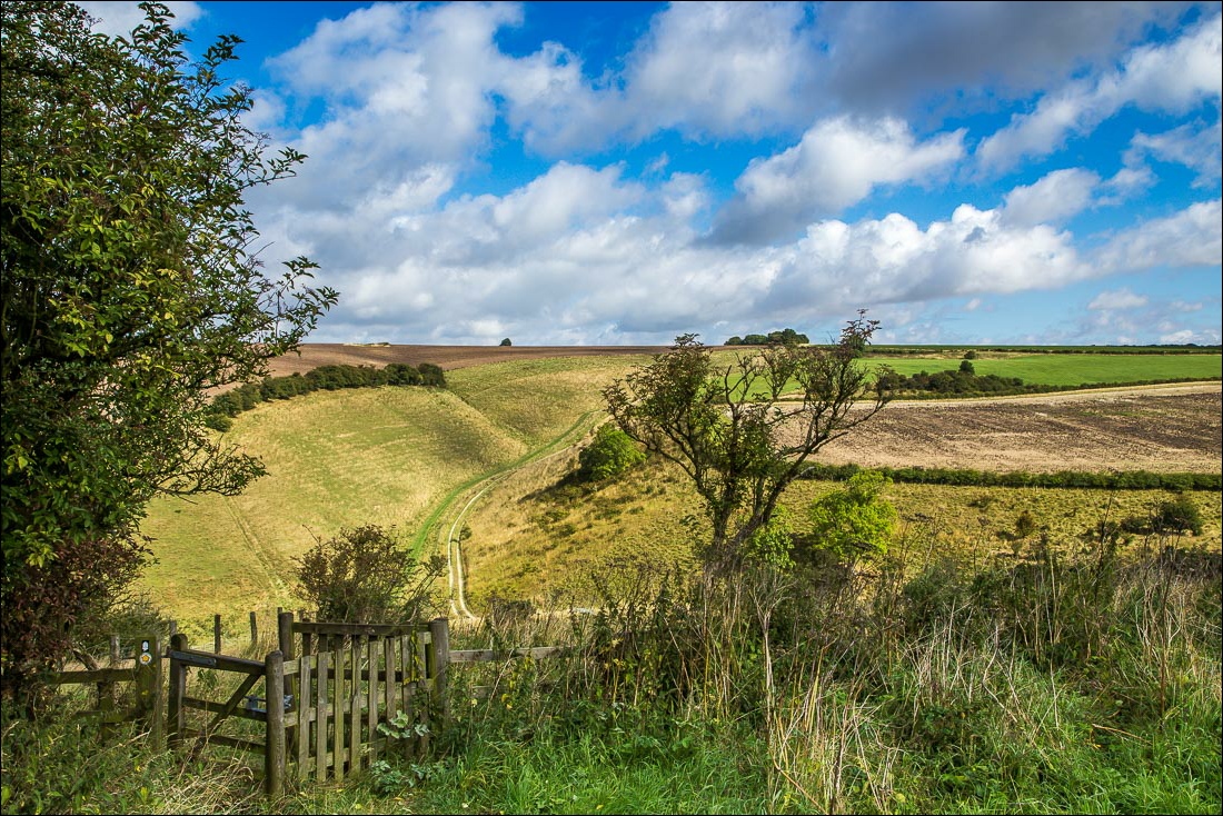
Looking across to Vessey Pasture Dale
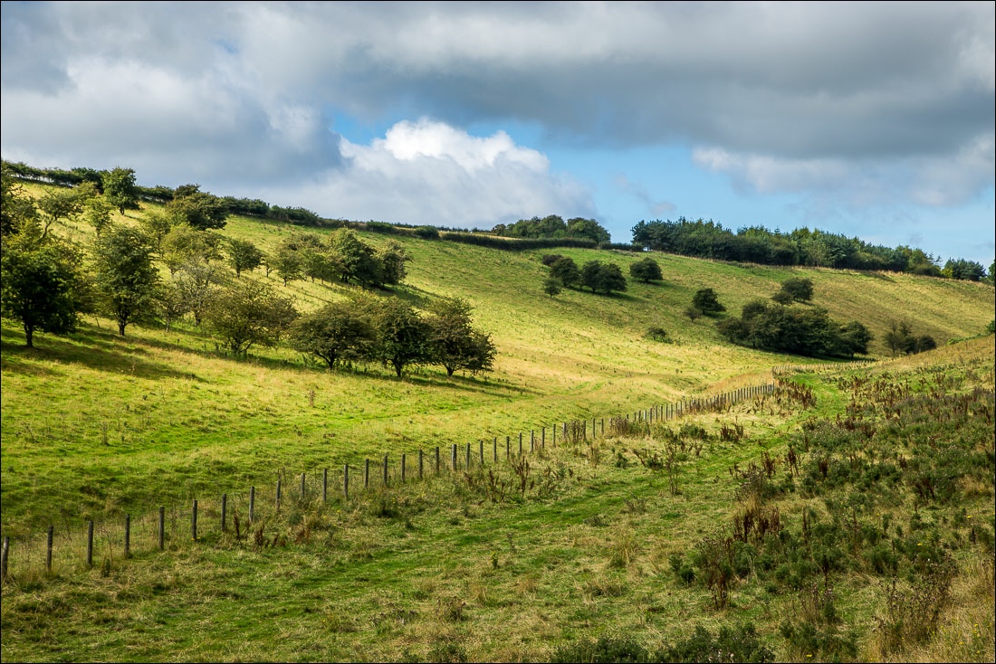
A little further along, I descend into the dale…
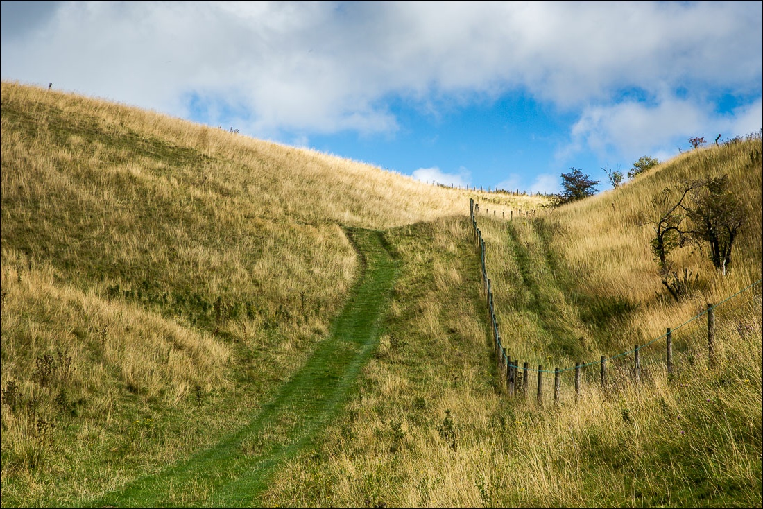
…only to have to climb up the other side
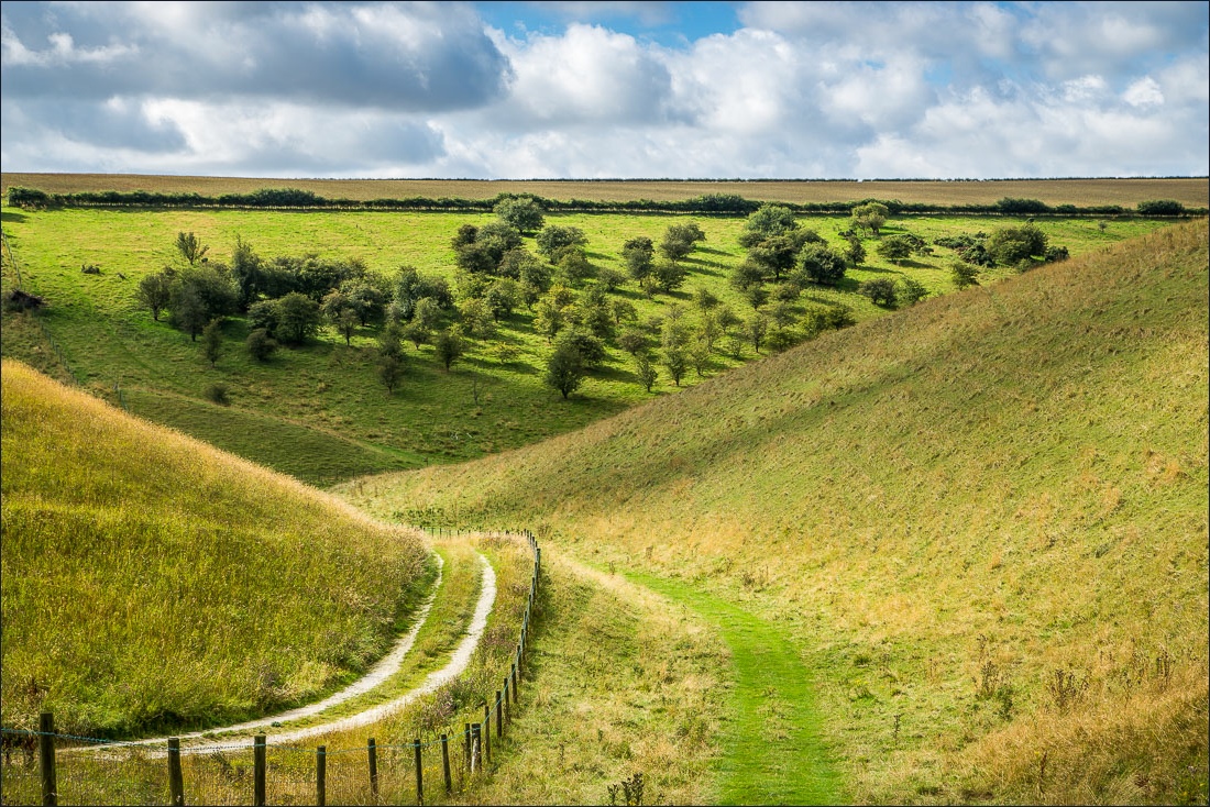
Looking back…
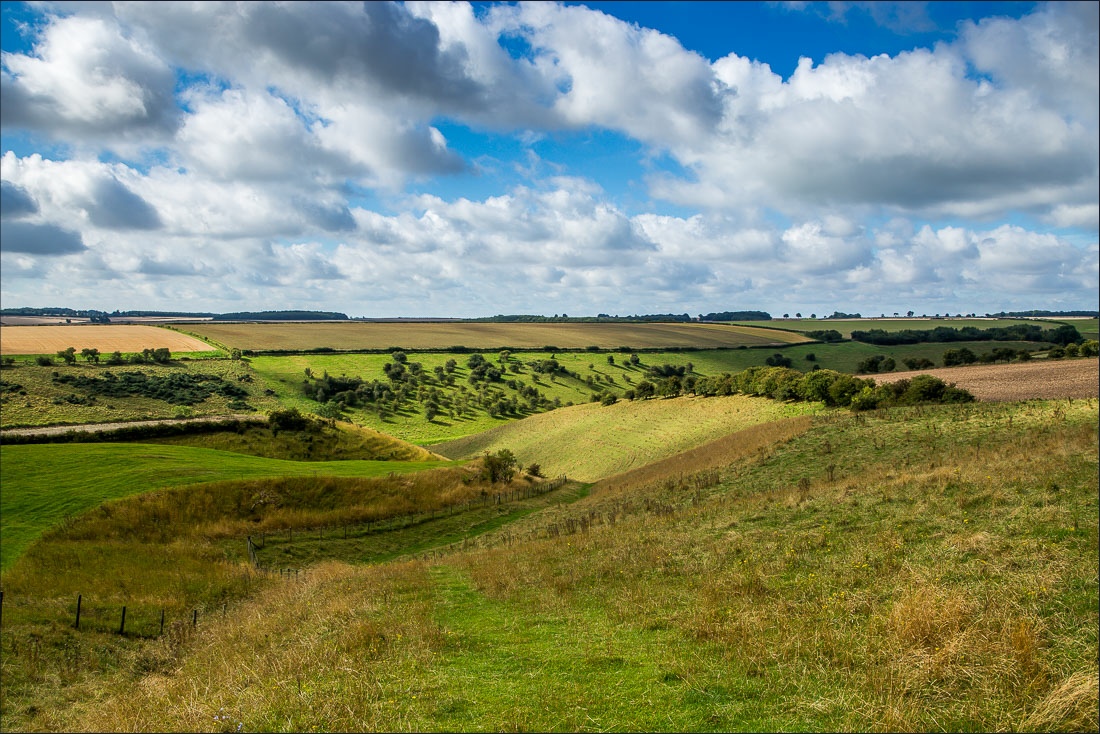
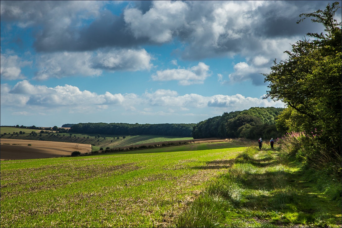
Walking towards North Plantation
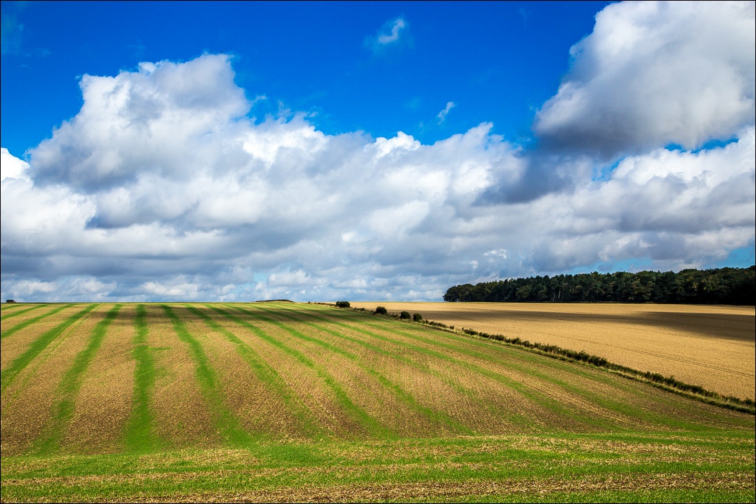
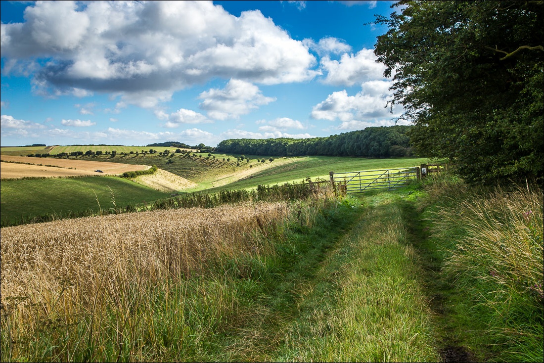
Deep Dale ahead
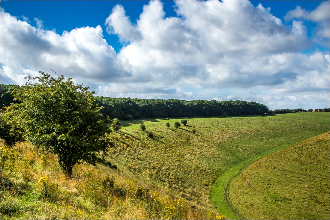
Looking back to North Plantation
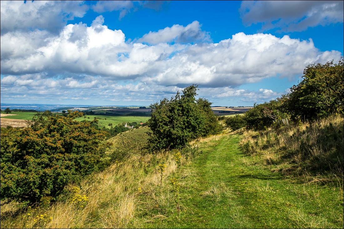
As I walk above Deep Dale, the runied church at Wharram Percy comes into view below
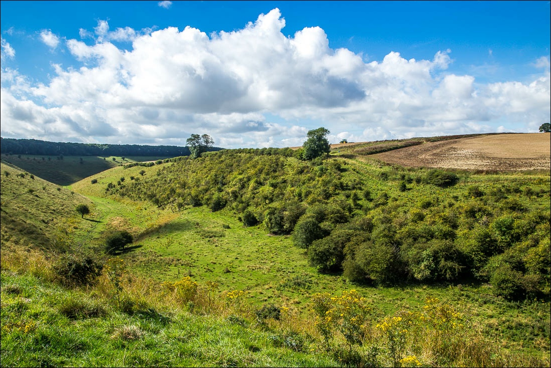
Deep Dale
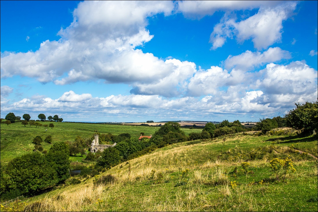
I descend to the site of the medieval village of Wharram Percy
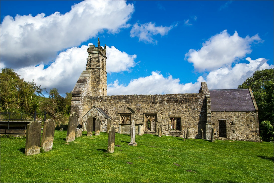
St Martin’s Church, the last standing medieval building in the village
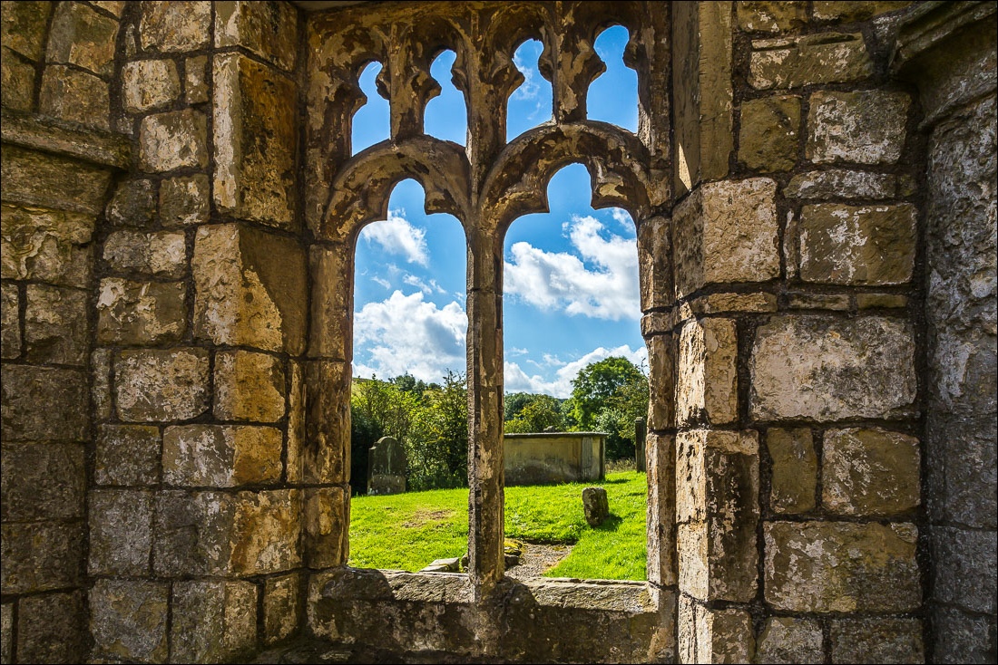
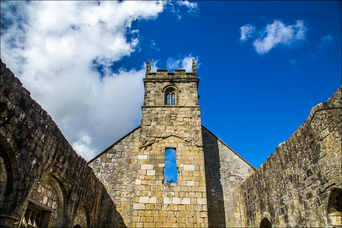
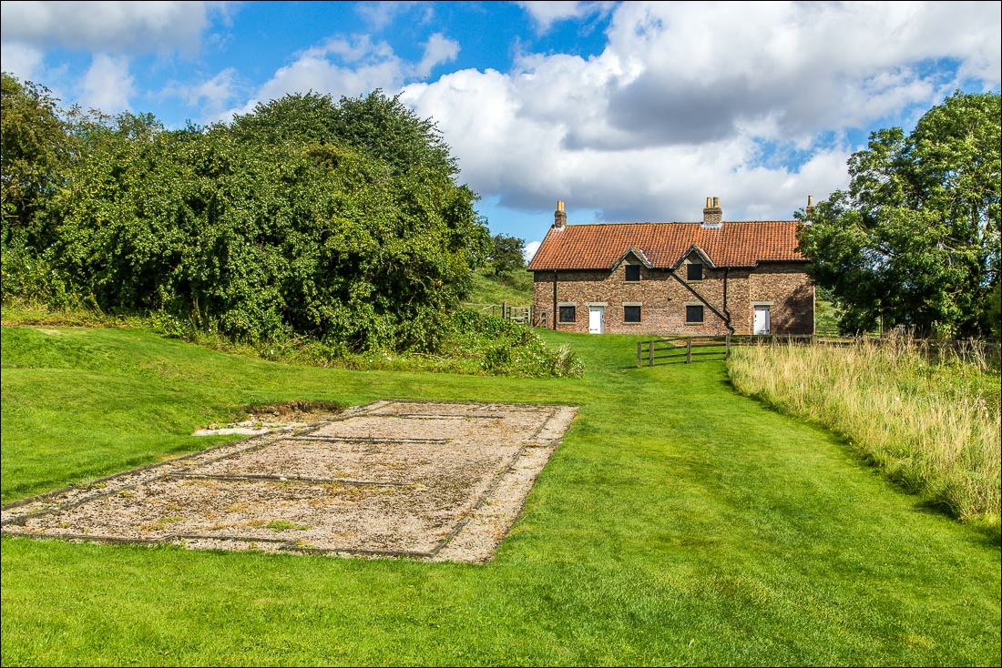
The site of the vicarage, and Wharram Percy Cottages (not medieval but built for farmhands in the 19th century)
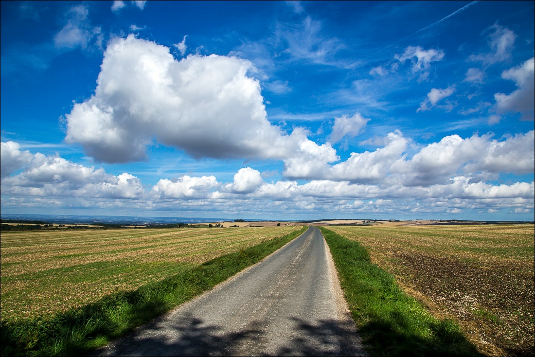
I follow a quiet road away from Wharram Percy
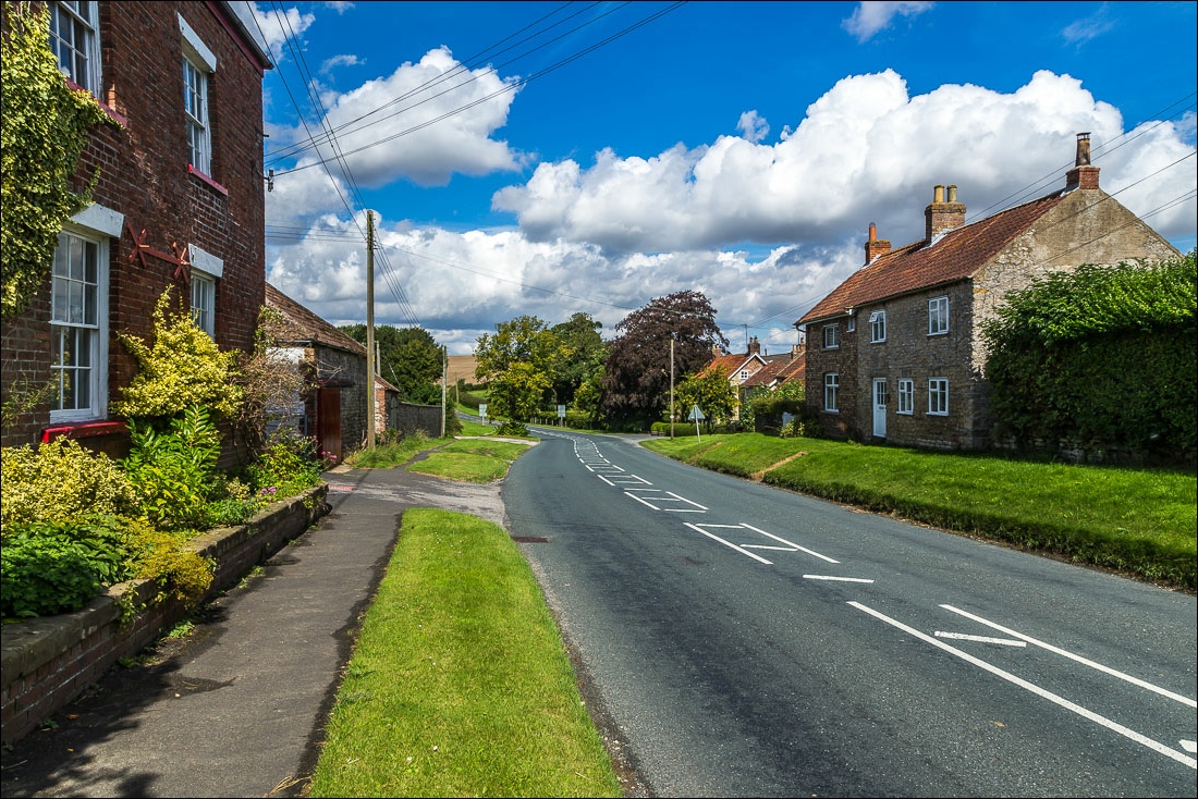
I then pass through Wharram le Street
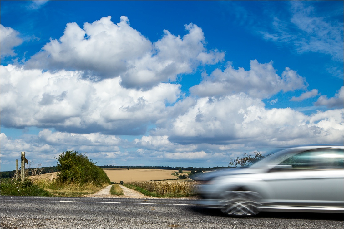
The route crosses over the B1253
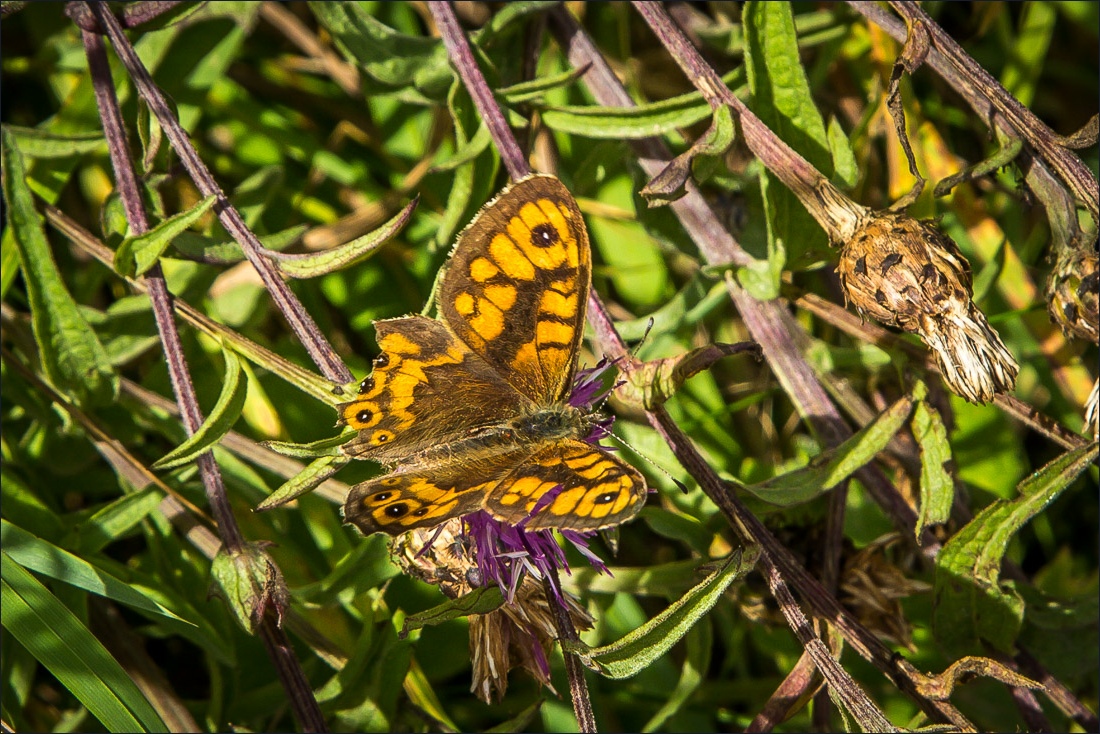
A Wall Brown butterfly
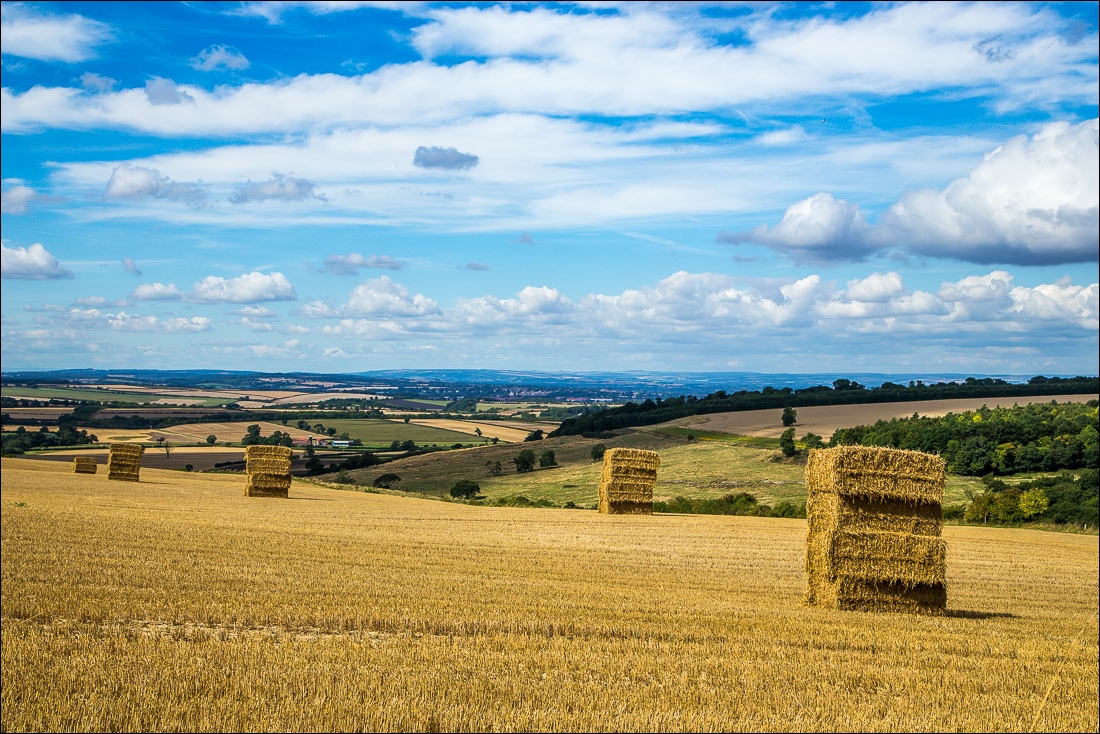
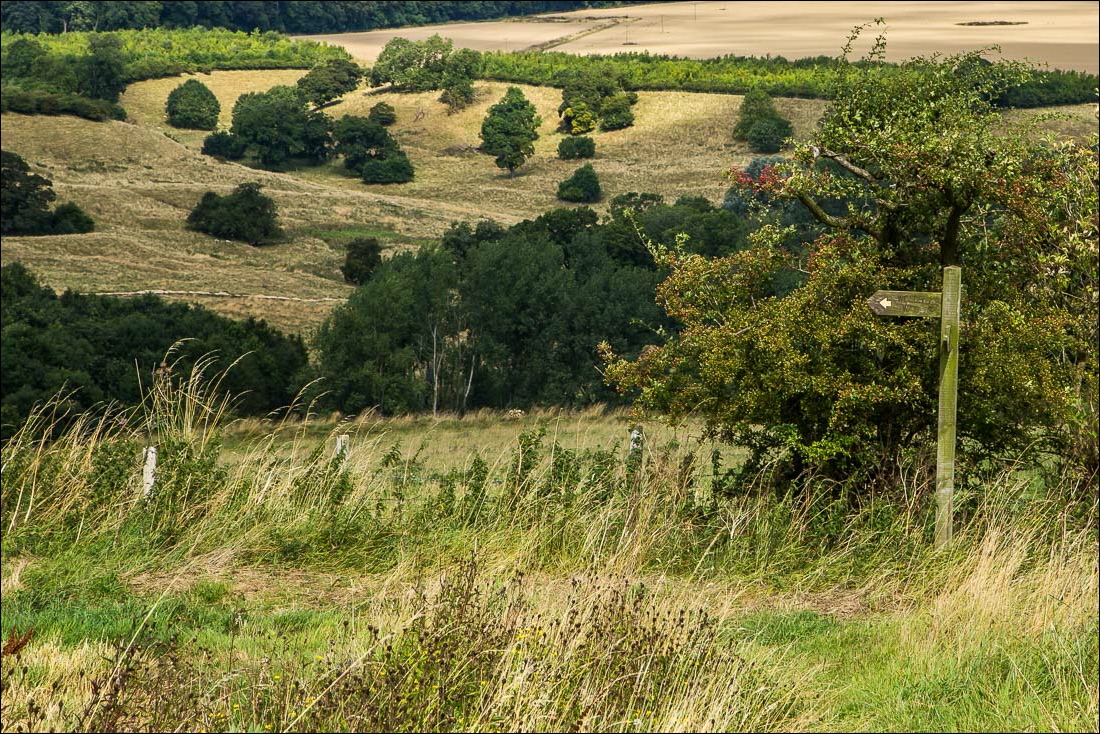
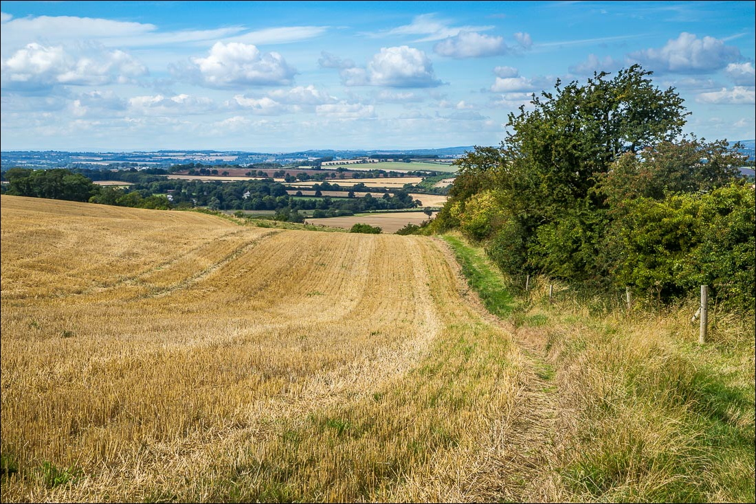
The path heads west for a short distance in the direction of North Grimston
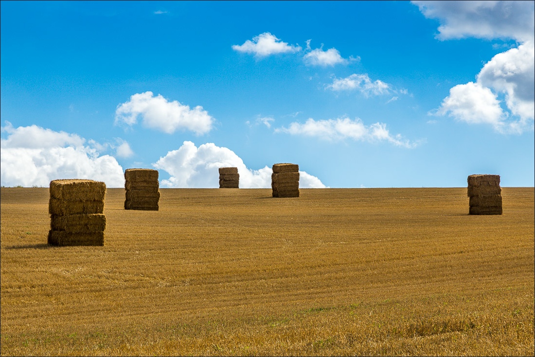
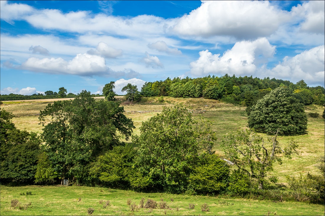
I descend to the footbridge over Whitestone Beck
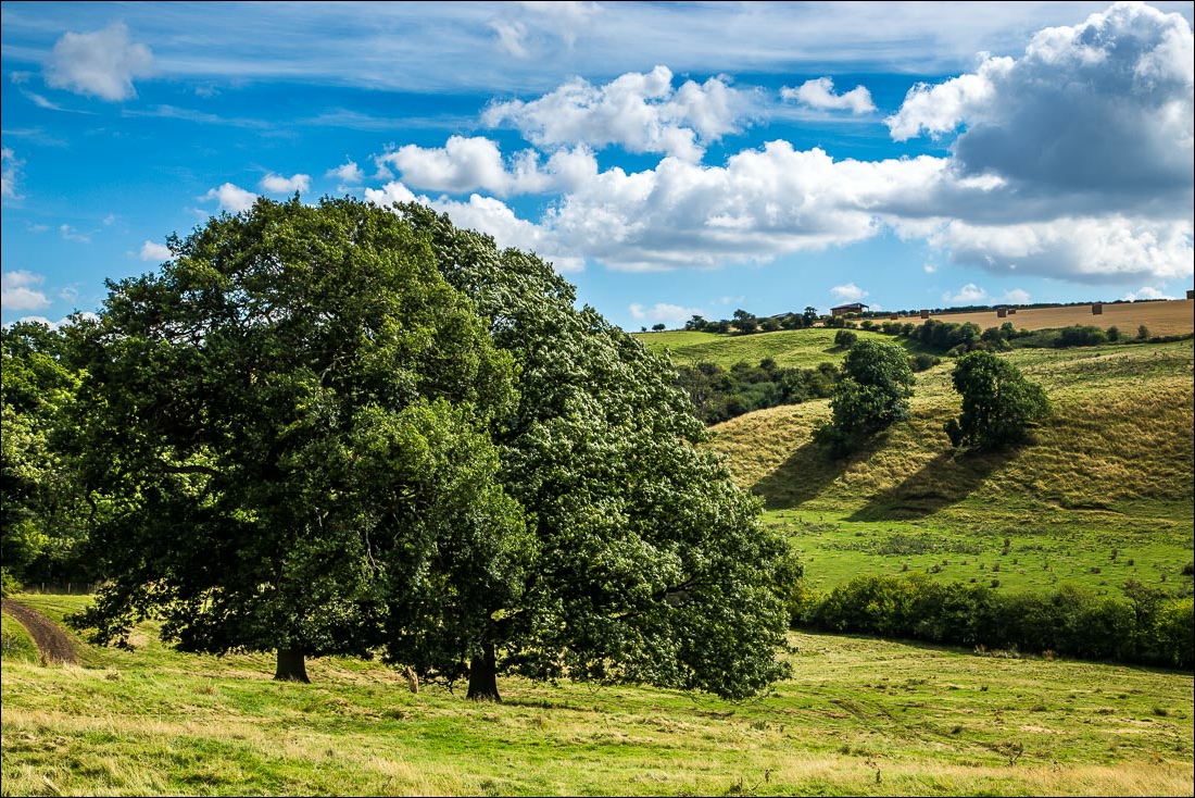
Looking back across the dale
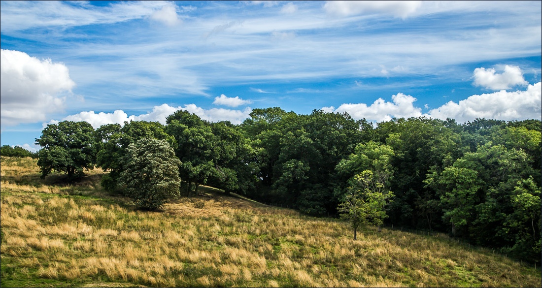
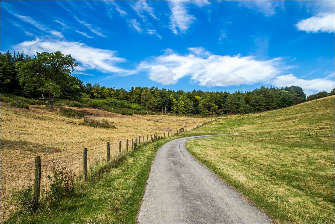
Rabbit Slack
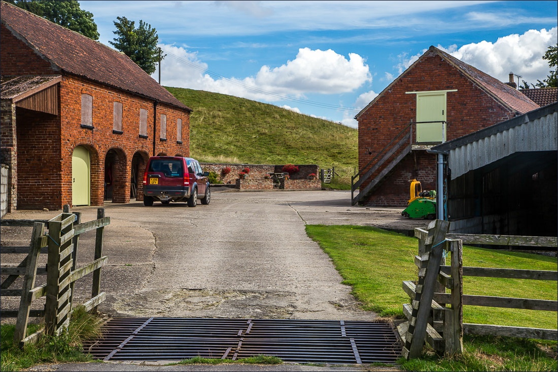
I pass through Wood House Farm
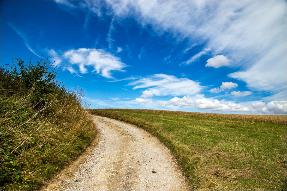
Climbing out of the dale
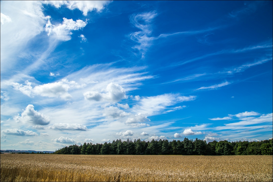
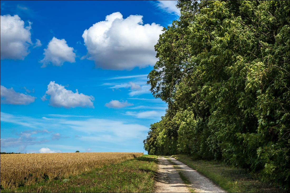
Walking beside Screed Plantation
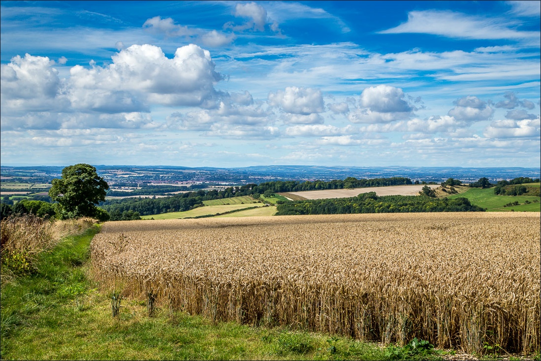
Huge views towards Malton and beyond
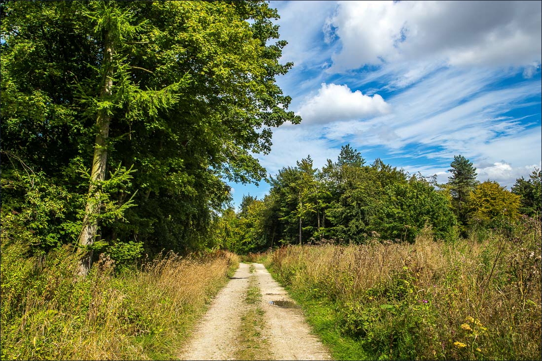
A woodland section through South Wold Plantation
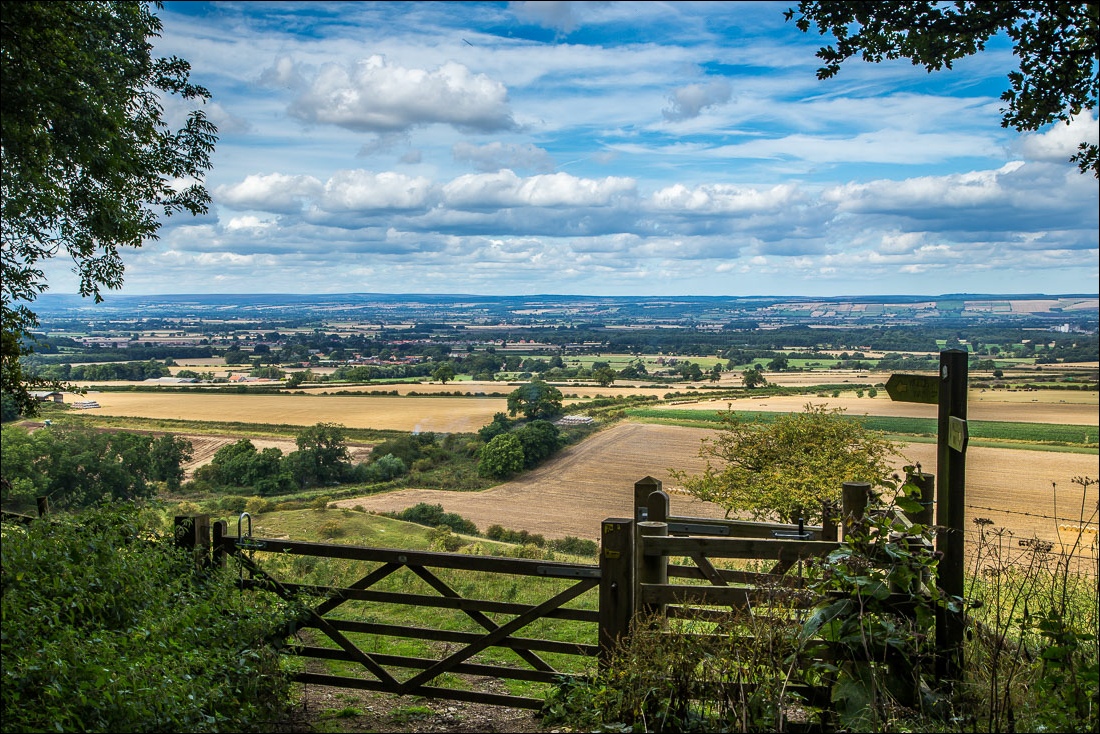
I emerge from the woods to this view over the Vale of Pickering
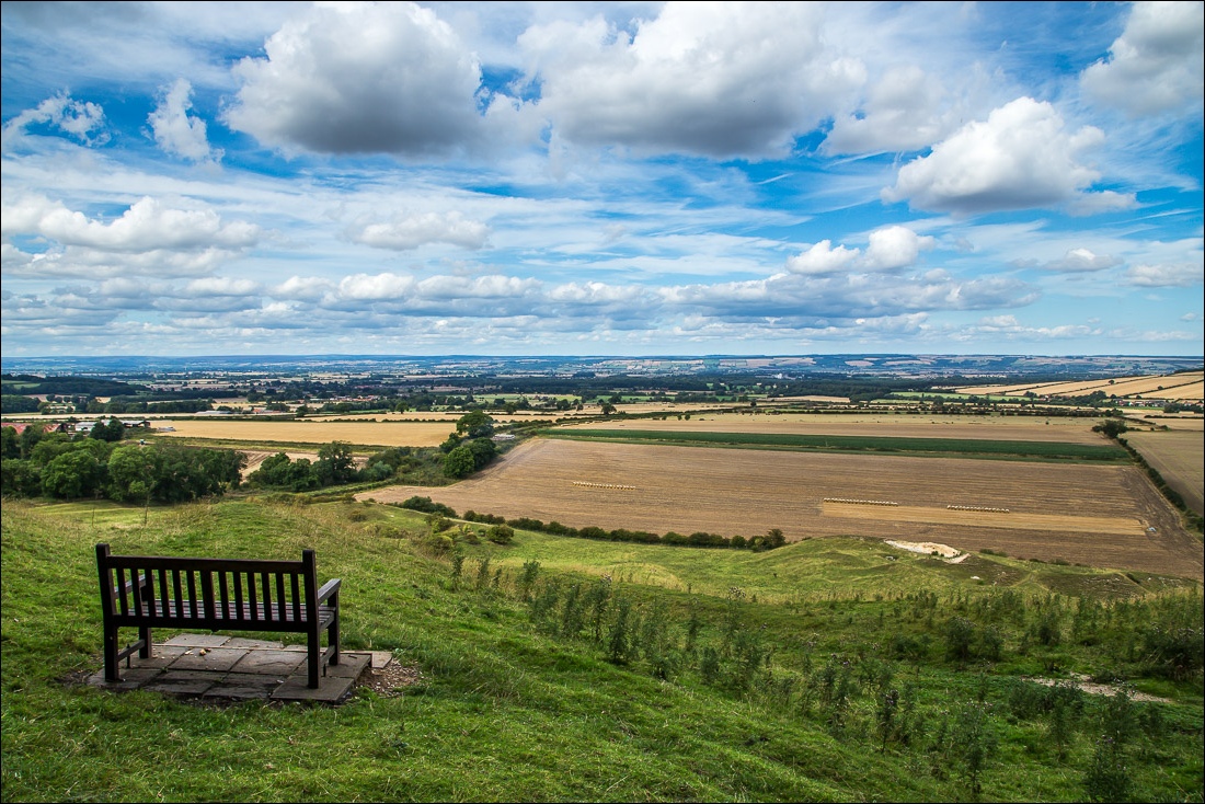
The end is in sight, with Wintringham on the far right of the picture
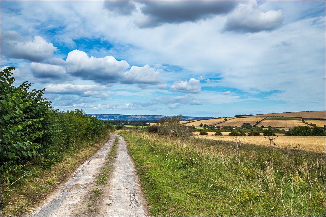
For the next mile or so I had an unusual walking companion…
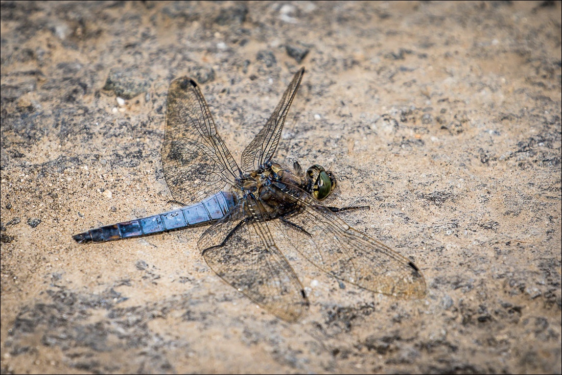
…this dragonfly (a Blue Chaser I think) flew ahead of me, waited for me to catch up, and repeated the process for about 20 minutes
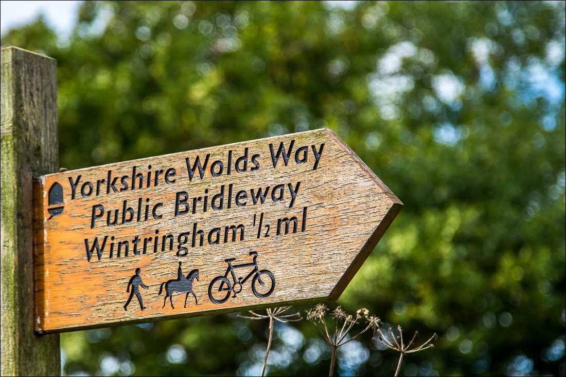
At the end of the lane I turn right for the final leg into Wintringham
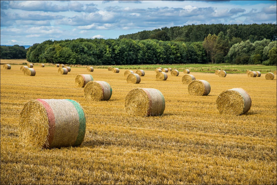
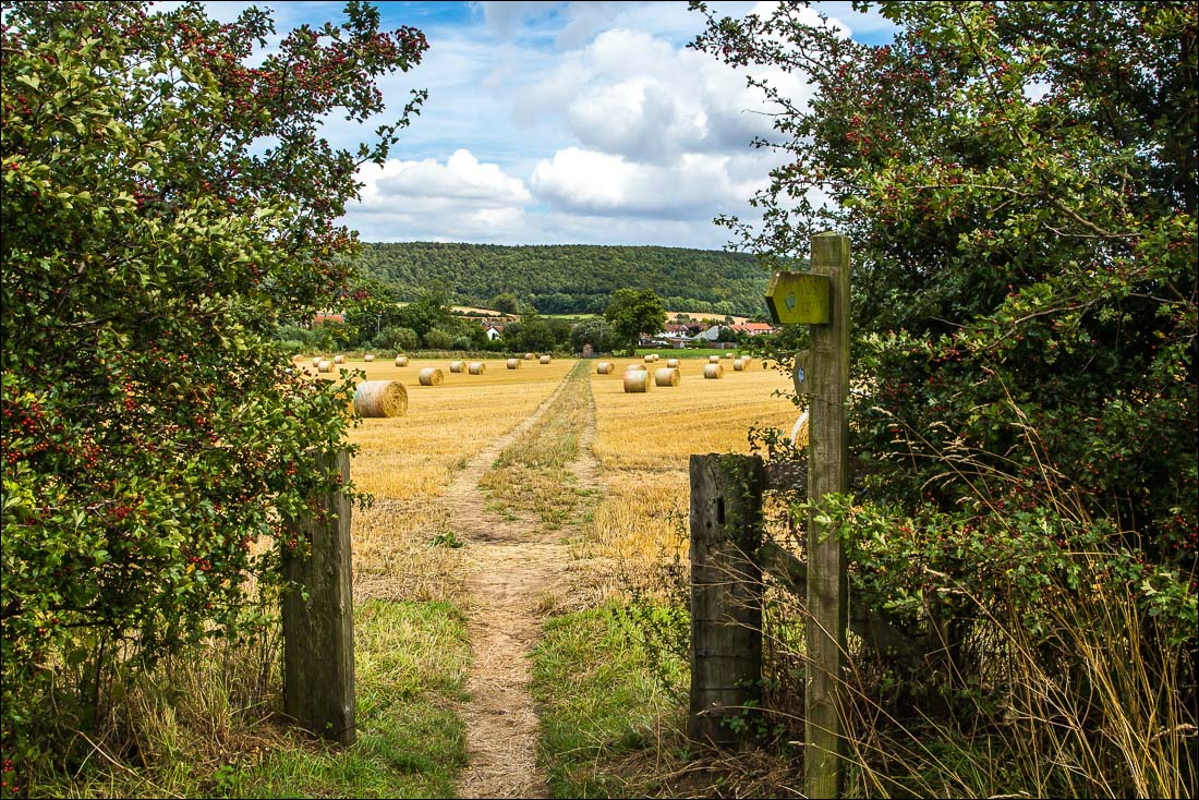
Wintringham ahead
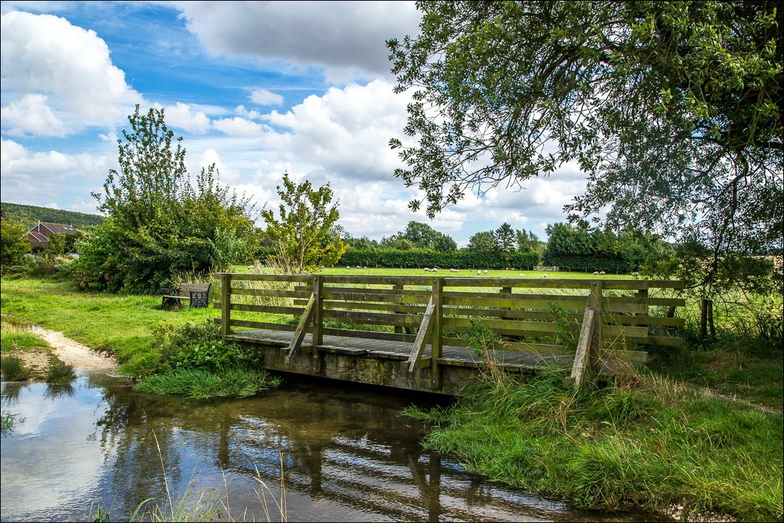
I cross the footbridge over Wintringham Beck…
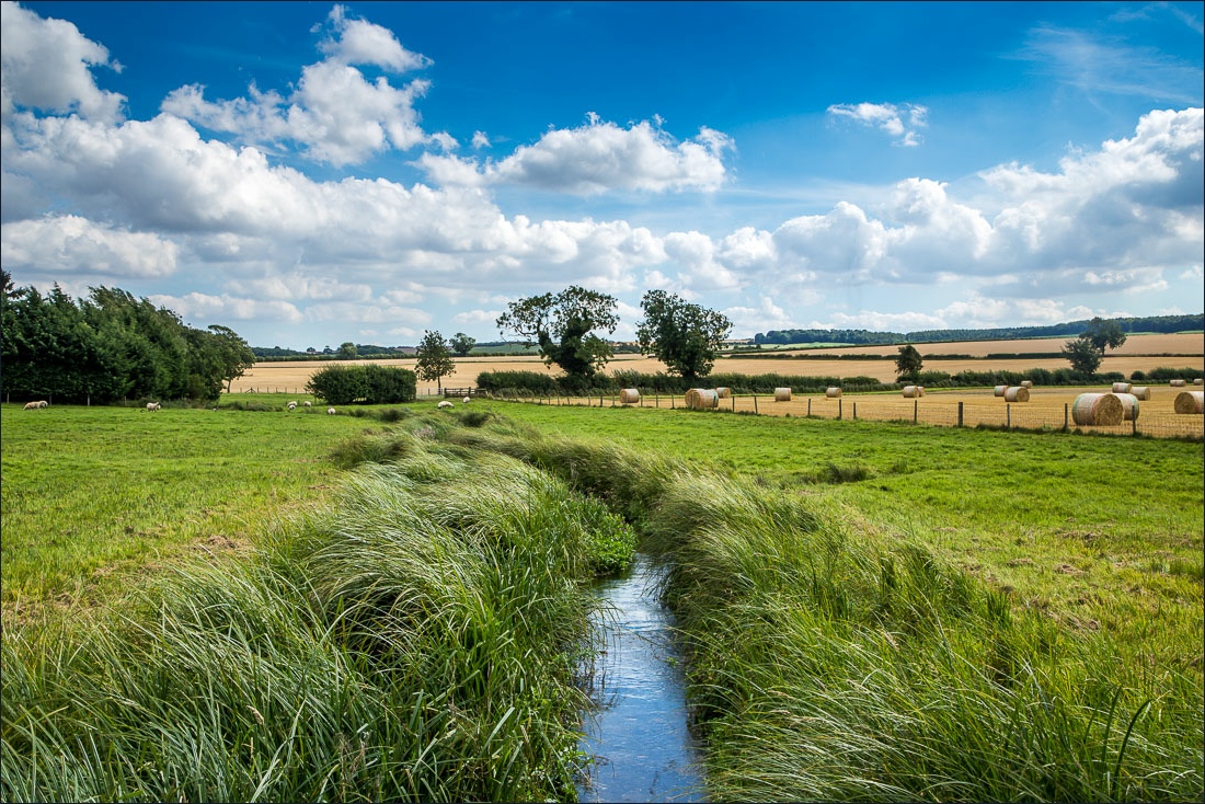
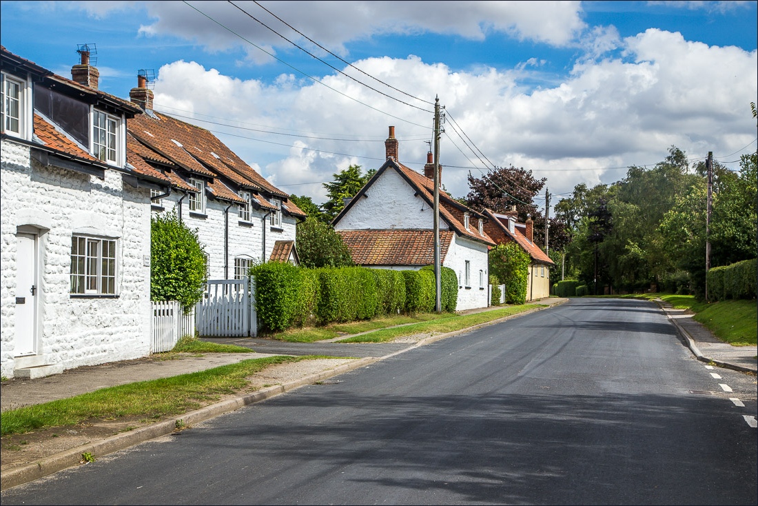
Wintringham
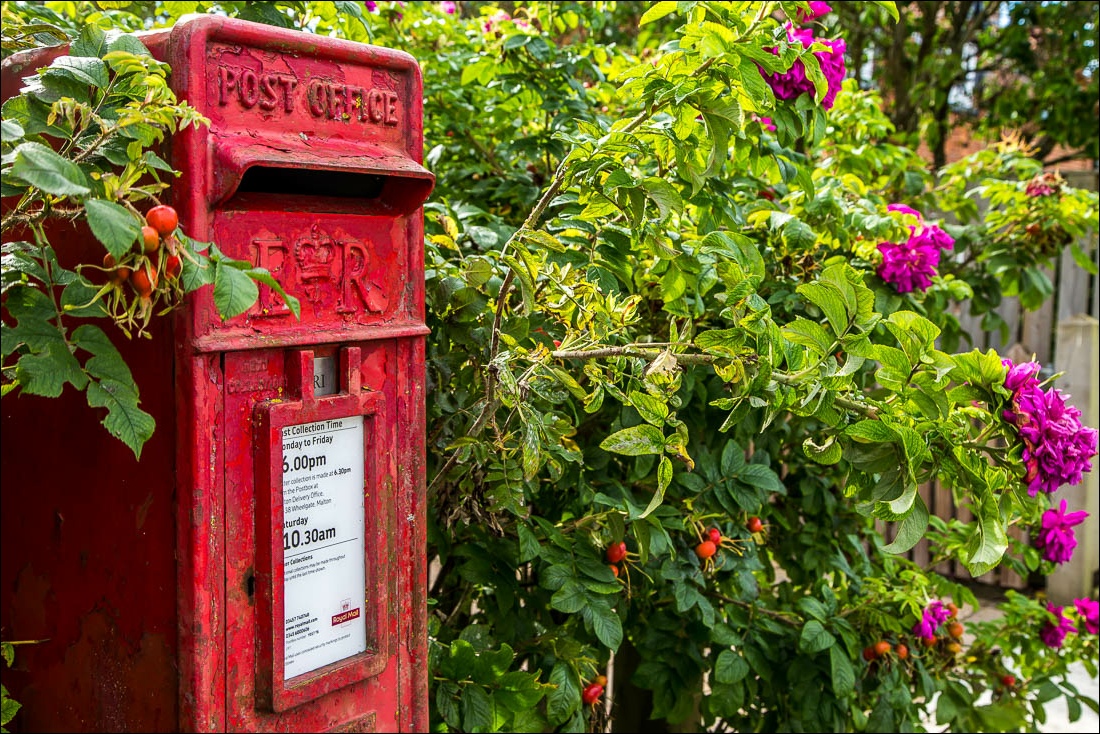
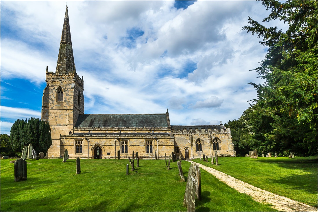
The redundant church of St Peter, and the end of a wonderful walk