
Route: Loweswater
Area: Western Lake District
Date of walk: 7th March 2014
Walkers: Andrew and Gilly
Distance: 5.8 miles
Ascent; 800 feet
We drove to Loweswater and parked at Maggies Bridge. Dub Beck was in full spate after all the recent rain
After crossing the beck we took the path through High Nook Farm and up along the top of Holme Wood. The weather improved briefly as we went along and we had views of the Solway Firth looking forward and Grasmoor and Whiteside looking back
The path then took us through Holme Wood and along the shore of Loweswater back to Maggies Bridge
We’ve done this walk several times before and never tire of it – it was a great couple of hours
For other walks here, visit my Find Walks page and enter the name in the ‘Search site’ box
Click on the icon below for the route map (subscribers to OS Maps can view detailed maps of the route, visualise it in aerial 3D, and download the GPX file. Non-subscribers will see a base map)

Scroll down – or click on any photo to enlarge it and you can then view as a slideshow
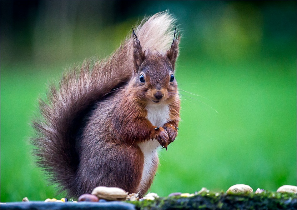
Red squirrel in the garden just before we set off

On the way to Loweswater we stopped at Scale Bridge to look at the River Cocker, which has burst its banks

The car park at Maggie’s Bridge, looking to Carling Knott and Holme Wood
Setting off down the track which runs through High Nook Farm
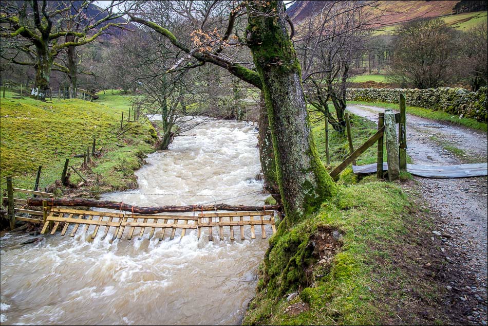
Whiteoak Beck is running very high and fast

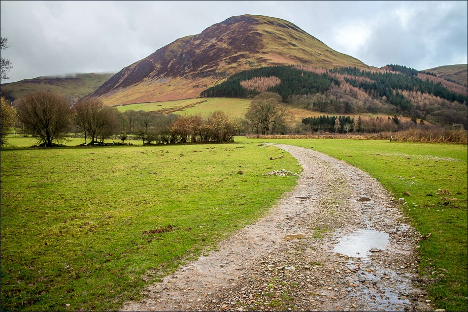
Through the farm now, and walking towards the head of the valley
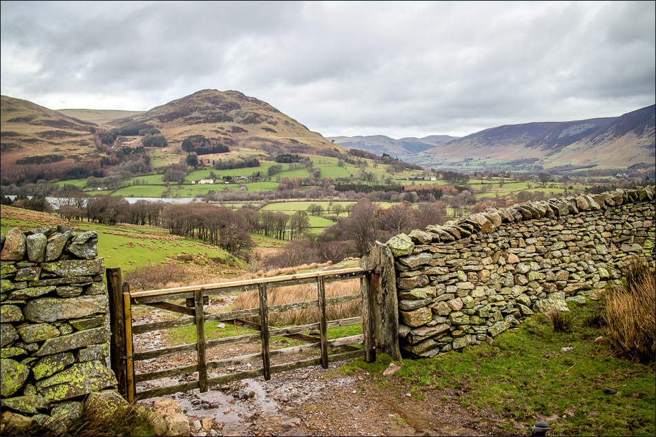
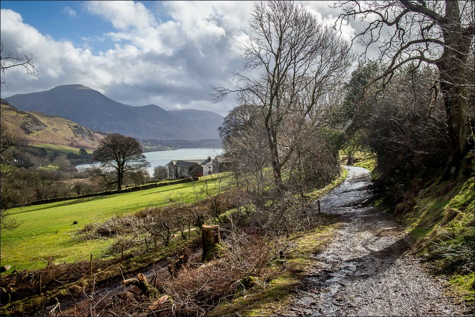
Looking back to Loweswater, Low Fell and Lorton Vale
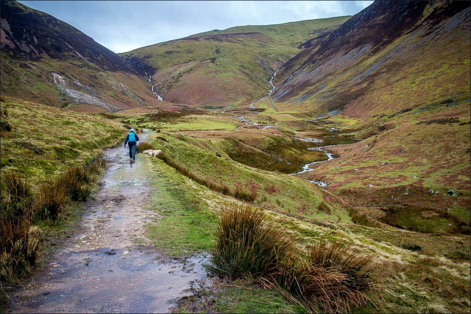
Nearly at the head of the valley, then we’ll be heading diagonally along the slopes on the right
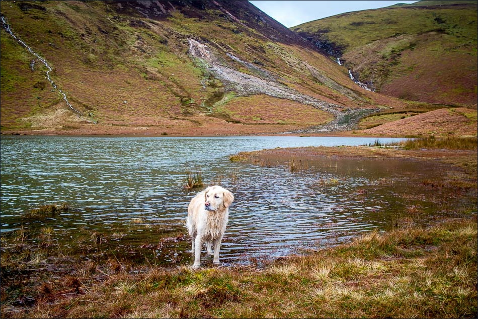
High Nook Tarn

We follow the path on the left along the slopes of Carling Knott
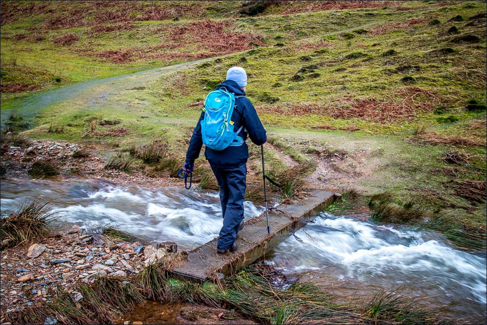
Crossing High Nook Beck

Looking across Lorton Vale to Whiteside and Grasmoor
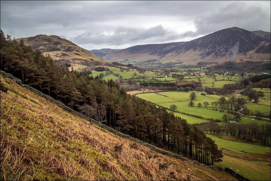
Lorton Vale again
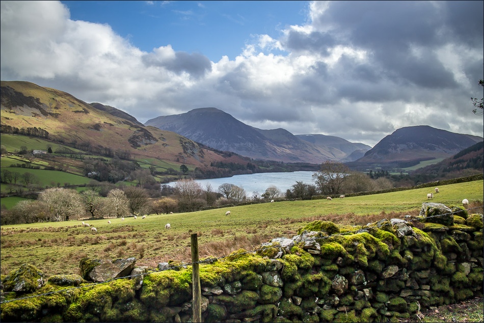
Grasmoor, north end of Crummock Water and Mellbreak

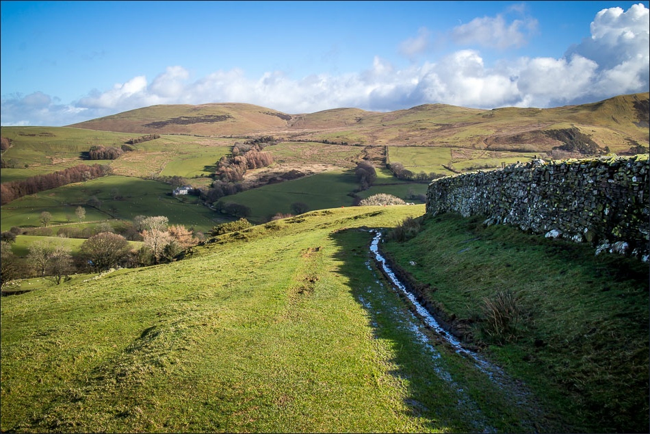
The elevated path contours round Carling Knott
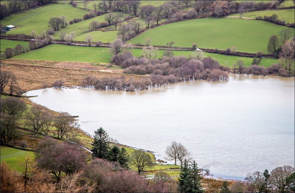
Zooming in on a flooded Loweswater
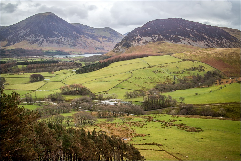
Loweswater and Crummock Water

Bonnie

Some blue sky at last as we look over the Solway Firth towards Scotland
At the start of the return leg

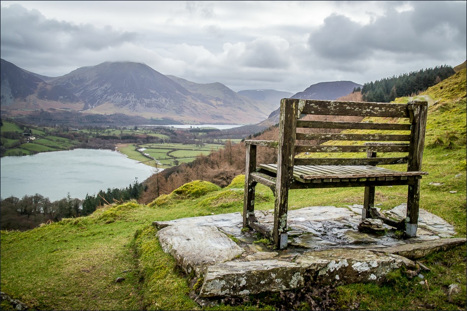
Loweswater ahead

Luckily these skies weren’t going in our direction
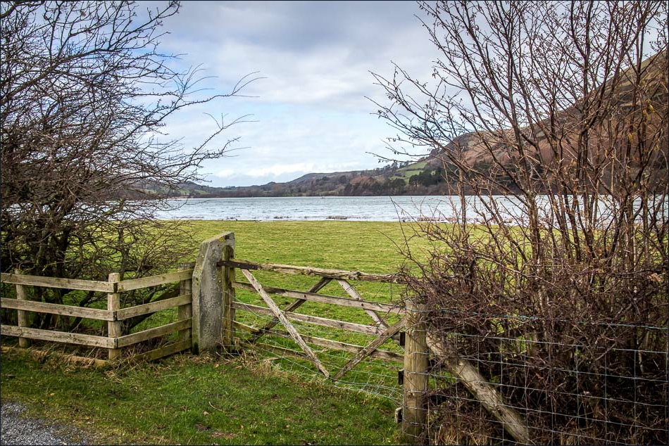
Almost down to Loweswater
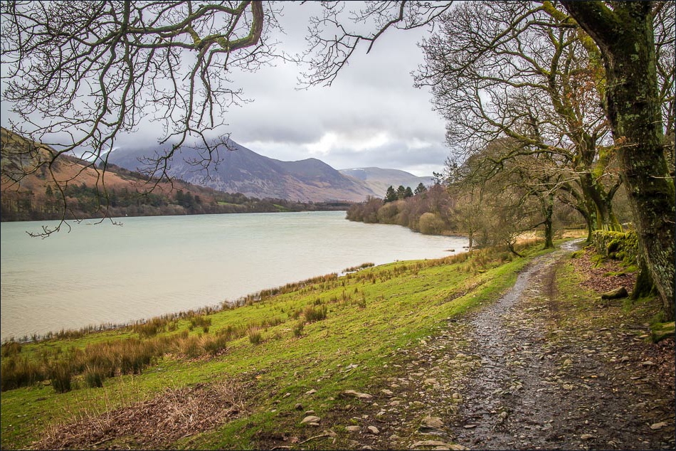
We follow the path through Holme Wood on the west shore of Loweswater

The bothy, available to rent from the National Trust

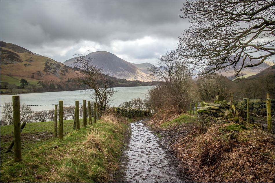
Whiteside and Grasmoor ahead
A last look back over Loweswater before we get back to the start
