
Route: Chalkland Way Stage 4 – Wetwang to Huggate
Area: East Yorkshire
Date of walk: 4th August 2019
Walkers: Andrew and Gilly
Distance: 6.7 miles
Ascent: 600 feet
Weather: Sunny and warm
The Chalkland Way is a 40 mile long distance walk which explores the most northerly chalk outcrop in Britain, visiting the hills and valleys of the Yorkshire Wolds. The route was first established in 1994 by Ray Wallis, and is a worthy addition to the other long distance walks in the region – the Wolds Way, the Centenary Way, the Minster Way and the Wilberforce Way
Click on the links to the other stages walked so far:
- Stage 1 – Pocklington to Bugthorpe – 10.4 miles
- Stage 2 – Bugthorpe to Thixendale – 8.1 miles
- Stage 3 – Thixendale to Wetwang – 9.8 miles
As this is a linear walk, two cars were needed and after leaving one of them in Huggate we drove in the other to Wetwang. This penultimate stage of the walk got off to an inauspicious start. The Chalkland Way starts at the southern edge of the village, and although the route is clearly waymarked the path itself was nowhere to be seen. The local farmer had indiscriminately sown his rapeseed crop over it and the field was an impenetrable jungle. After consulting the OS map we found an alternative route out of Wetwang, along a lane and track known as Southfield Well Balk. This only added a short distance to our total, but we entertained uncharitable thoughts about the farmer nonetheless. It’s likely that this issue only exists in the weeks before harvest time when the crop is fully grown, so others following this route may not experience the same problem
There were good views back to Wetwang as we made progress along the fields at the top of the wold, although it has to be said that the landscape lacked variety. Interest was added by the thousands of butterflies we saw along the way, especially painted ladies
After crossing the road near Foxcovert Farm there was a welcome change in the terrain as we descended into Shortlands Dale, the first of a series of dry chalk valleys. We followed the Chalklands Way along the valley floors before climbing up to the road just north of Huggate. It was a pleasant walk in this gently rolling countryside and we look forward to the next and final stage of the walk, from Huggate to Pocklington
Click on the icon below for the route map (subscribers to OS Maps can view detailed maps of the route, visualise it in aerial 3D, and download the GPX file. Non-subscribers will see a base map)

Scroll down – or click on any photo to enlarge it and you can then view as a slideshow

A bad start to the walk at the edge of Wetwang - the Chalkland Way is supposed to be here but is both invisible and impenetrable

Fortunately, Southfield Well Balk is nearby, and provides an alternative route

Looking across the fields in our direction of travel

Looking back to Wetwang from Southfield Well Balk, which becomes a green lane

Painted Ladies were in profusion. Large clouds of them are being spotted across the UK this year in a mass emergence that occurs once in a decade

Following our enforced diversion, we're able to join the Chalkland Way here

Looking across to Wetwang, right of picture, as we walk beside the fields...


More huge views over the surrounding countryside...


Foxcovert Farm ahead, which will mark the start of our descent from wold to dale

Looking back to Aunham Dale, a small island of trees in an ocean of farmland

We pass through this gate and descend into Shortlands Dale

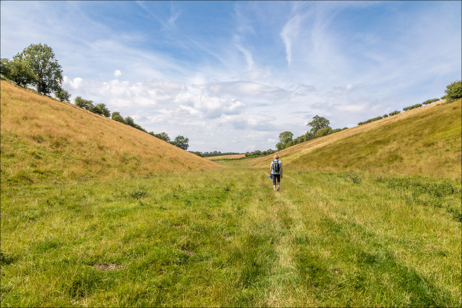
Shortlands Dale...


Shortlands Dale merges into Oxlands Dale...


A Brimstone

Oxlands Dale continues ahead, but we turn left here to follow the Chalkland Way along Cow Dale

Cow Dale

A view back as we reach the top of the dale

We join a quiet lane leading to our destination, Huggate

We arrive in Huggate and walk through the quiet village

The final stage of the walk will take us to the end of the Chalkland Way in Pocklington

Journey's end - the Wolds Inn Huggate, where we can quench our thirst...


Butterflies in the garden this week, we'd see hundreds during the course of today's walk

Some of the hundreds of butterflies in the hedgerows
Follow the link for more walks in East Yorkshire (117)
