
Route: Ullscarf
Area: Central Lake District
Date of walk: 11th January 2013
Walkers: Andrew
Distance: 8.5 miles
I parked near Wythburn. There looked to be a good chance of a cloud inversion, though it was hard to tell from the valley if Ullscarf was above it. It was a long haul along the gill and the ground was frozen and slippery. Much of the route was pathless and the gps was a great help in finding my way up.
The top of Ullscarf (2,370 feet) is massive and the walk to it seemed endless. The summit itself is disappointing though the surroundings are beautiful, and there was a lovely inversion. A great walk and I didn’t see another soul all day.
Click on the icon below for the route map (subscribers to OS Maps can view detailed maps of the route, visualise it in aerial 3D, and download the GPX file. Non-subscribers will see a base map)

Scroll down – or click on any photo to enlarge it and you can then view as a slideshow

Wythburn, start of the ascent of Ullscarf - the ground was frozen

This looks promising.....

The Bog - well named

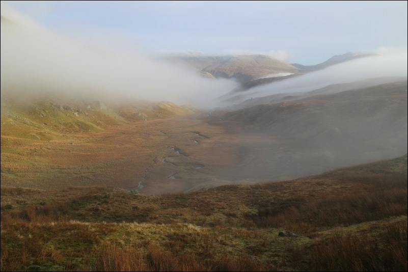
Looking towards the Borrowdale Fells

More Borrowdale Fells from the flat summit of Ullscarf

There were some interesting clouds around today

Summit cairn of Ullscarf


Looking back along the ascent route

Blea Tarn

Descending into the woods

Back at the start
