
Route: Low Fell
Area: North Western Lake District
Date of walk: 10th January 2013
Walkers: Andrew
Distance: 7.0 miles
Ascent: 1,400 feet
I parked at the small layby just outside Thackthwaite and after reaching the summit of Low Fell (1,387 feet), where the views were wondrous as ever, descended towards Darling Fell, turning left at the depression to follow a path not shown on the OS map.
This met up with the Mosser Road, and I returned to Thackthwaite along the road.
For other walks here, visit my Find Walks page and enter the name in the ‘Search site’ box.
Click on the icon below for the route map (subscribers to OS Maps can view detailed maps of the route, visualise it in aerial 3D, and download the GPX file. Non-subscribers will see a base map)

Scroll down – or click on any photo to enlarge it and you can then view as a slideshow

Low Fell from the fields above Thackthwaite

Whiteside and Grasmoor

Crummock Water

Looking across Lorton Vale

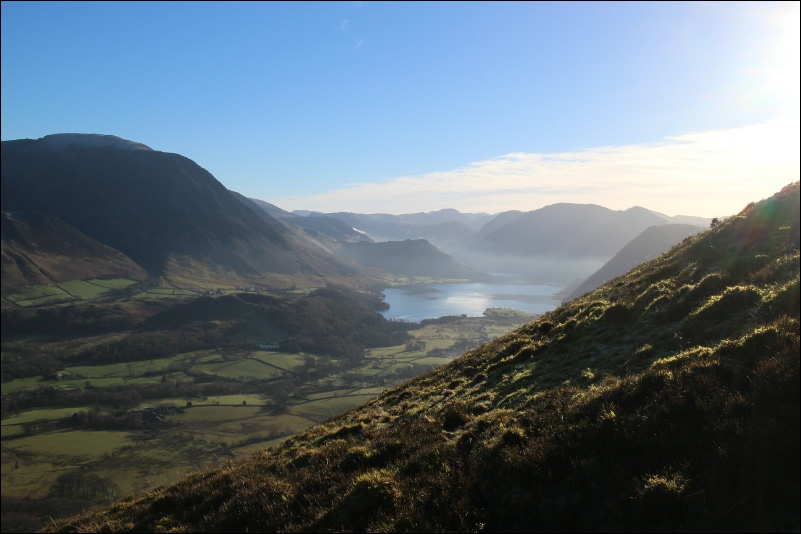
Crummock Water and a glimpse of Buttermere

Across Lorton Vale - Skiddaw in the distance

Low Fell summit

Lorton Vale

Crummock Water
