
Route: Nettleton Top
Area: North Lincolnshire
Date of walk: 27th February 2022
Walkers: Andrew and Gilly
Distance: 6.2 miles
Ascent: 700 feet
Weather: Sunshine and cloudless skies, cold wind
The village of Nettleton is known for an odd tradition: on Boxing Day, shoemakers would traditionally ‘beat the lapstone’ at the house of any ‘water drinker’ (teetotaller), as a mocking act and practical joke. The tradition derives from an 18th-century story in which a Nettleton resident, Thomas Stickler, who had declined alcohol for twenty years, became inebriated after drinking half a pint of ale at his shoemaker on Christmas Day. When questioned by his wife, he replied that he was not drunk but had simply ‘fallen over the lapstone’
We parked on the roadside near the church of St John the Baptist, which has a beautiful golden appearance but sadly weathers very badly due to the use of ironstone in its construction. Ironstone was mined in these parts for many years, and so was an obvious choice as a building material – without the benefit of hindsight. We followed Normanby Road for about 600 yards to a fork and took a lane to the left, part of the long distance Viking Way. We then joined a path along Nettleton Valley, with Nettleton Beck a constant companion on our right. The ascent up the valley is so gentle that it’s hardly noticed, and the path eventually reaches the road at the halfway point of the walk and at the giddy height of 500 feet – Himalayan for these parts. Lincolnshire’s highest point is nearby (a radar dome shown on the OS map as 168m, or 551 feet)
We followed the lane in the direction of Nettleton Top. Although it’s quite a lengthy road section there’s very little traffic and there are huge views to the left to be enjoyed along the way. After passing Nettleton Top the road descended to a car park, where a footpath left the road to climb up to the brow of Nettleton Hill. The paths on the hill are permissive only and are not shown on the OS map. We followed the ridge line, with a fence and hedge on our left, but with plenty of gaps to enjoy the view. It was here that there was some navigational uncertainty, with a barbed wire fence between us and our line of descent back into Nettleton. We realised that we’d walked on the wrong side of the fence, and when we reached the brow of the hill should have kept to the very edge of the ridge. However our route was clearly in use, with a defined path and a bench to enjoy the view. Other walkers had made the same mistake as us and had removed one of the strands of barbed wire, so we had no difficulty in ducking through the gap. We turned left at the gap to join a clear path descending steeply downhill to a gate – which was padlocked. We climbed over onto the roadside, realising we’d made another minor navigational mistake – we should have sought out a permissive footpath at a stile near a large house and followed it round the edge of the field (the OS map shows the correct route). It wasn’t a major problem and, judging by the well worn path we’d followed, and the unkempt appearance of the very narrow permissive path, most walkers take the same route as we did
From the gate it was a short stroll back into Nettleton
Since posting this I’ve received a helpful update from a follower of this site: “Just for information, the gate you climbed to get back into Nettleton now has barbed wire across the top and the landowner clearly doesn’t want walkers to use this route. We could find no sign of the permissive path down the hill, or any way of exiting into the village. We’d recommend walkers use the road route from the ramblers car park to Nettleton”
For a slightly shorter version of this route which omits Nettleton Hill and its minor navigational issues, click here
Click on the icon below for the route map (subscribers to OS Maps can view detailed maps of the route, visualise it in aerial 3D, and download the GPX file. Non-subscribers will see a base map)

Scroll down – or click on any photo to enlarge it and you can then view as a slideshow

St John the Baptist Church Nettleton at the start of today's walk

After following the Normanby road for a few hundred yards, we turn left at this sign for the Viking Way, with its unmistakeable logo

We enter into a valley which will take us as far as the half way point of the walk

We ignore the obvious track ahead and follow the Viking Way sign pointing right

We pass by a small pond beyond Nettleton Grange

We cross a small wooden footbridge. Miles of countryside stretch out ahead of us

Navigation is no problem as we simply follow the path across the valley floor with Nettleton Beck on our right

We pass by another small pond

Looking back along our path as we continue to ascend out of the valley

The valley gradually peters out as we gain height

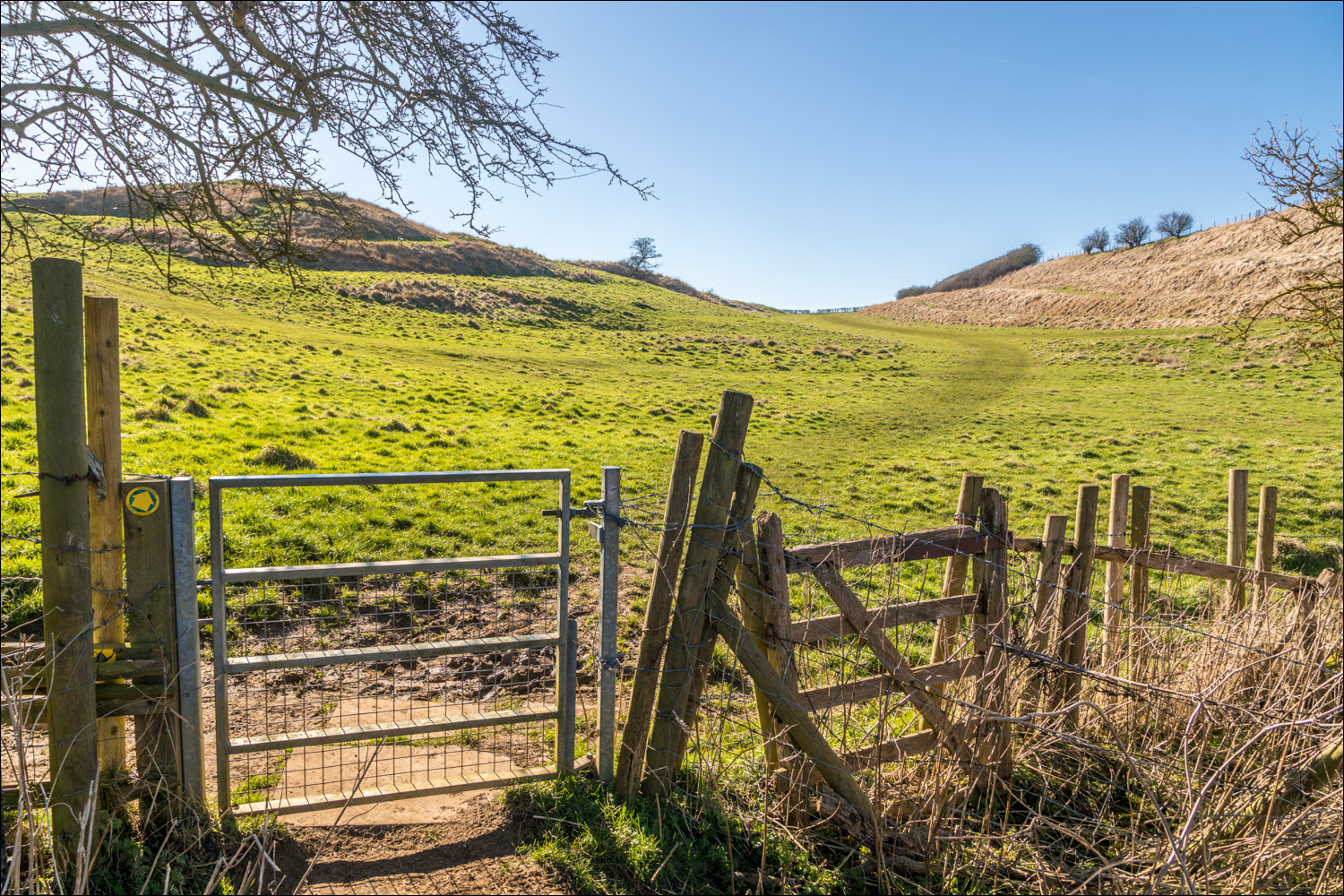
I recommend that you don't squawk like a pheasant beyond this gate

Approaching the head of the valley

Looking back

The high point of the walk as we arrive at the lane leading to Nettleton Top

Miles of open countryside on our left as we follow the quiet lane

We pass through Nettleton Top...

Continuing along the lane towards Nettleton

A down and an up to Nettleton Hill follows

At Ramblers Car Park we leave the road to follow a permissive path not shown on the OS map (the lane may be followed back into Nettleton, but the hill is worth the detour)

We follow a grassy path and turn left

A gentle climb up Nettleton Hill

Huge views over the Lincolnshire plain

We didn't realise it at the time, and there are no signs to help, but we should have been on the other side of the fence

A bench for ‘tyred’ walkers

Wonderful views on our left

As we follow the line of the fence around the hill we search in vain for the path down to Nettleton

Nettleton and its church below, but we're still on the wrong side of the fence and have to continue a little further to get through it

Back on track, we follow the path to the left of the photo

The gate was padlocked so we climbed over it, turning right to head back to the start. There's a permissive path to the right which avoids the climb but there's no sign of it until it's too late, and it seems to be little used.

Back in Nettleton, St John the Baptist Church at the end of the walk
Follow the link for more walks in Lincolnshire (26)
