
Route: A short walk in Lorton Vale
Area: Western Lake District
Date of walk: 31st July 2015
Walkers: Andrew and Gilly
Distance: 3.5 miles
Ascent: 450 feet
Weather: Bright at start but clouded over then rained
We’ve walked this route, or variations of it, many times in order to visit the village shop in High Lorton. The shop closed about 3 years ago but – good news – it’s re-opening again under new management. We decided that a walk along our local valley was long overdue
Although we started out from home, the walk can easily be adapted by starting out in High Lorton or at the small parking space near High Swinside
We walked along the lane to High Lorton and just after Hopebeck we took the path across the fields to Low Swinside. We followed the quiet lane for a while before turning off to join the path into High Lorton
The return route took us through Boonbeck and Scales and then to the delightful elevated path which runs the length of Lorton Vale, as far as Crummock Water. We’d been planning to follow the path as far as Miller Place but it started to rain so just beyond High Swinside we took a shortcut by continuing down the lane down to Hopebeck
For other walks here, visit my Find Walks page and enter the name in the ‘Search site’ box
Click on the icon below for the route map (subscribers to OS Maps can view detailed maps of the route, visualise it in aerial 3D, and download the GPX file. Non-subscribers will see a base map)

Scroll down – or click on any photo to enlarge it and you can then view as a slideshow

We start the walk along the quiet lane to Hopebeck

Looking across the valley towards Thackthwaite and Low Fell

Approaching Hopebeck

Just beyond Hopebeck we leave the lane to follow a path across the fields

Lorton Dodd, and Hopegill Head in the distance

Bonnie

Hopegill Head

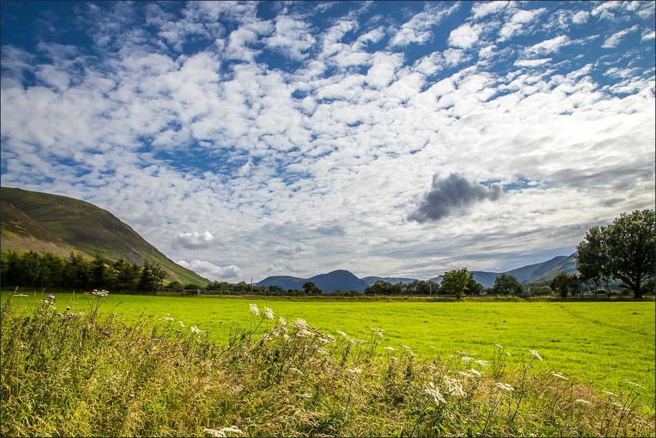
Looking back along Lorton Vale to Mellbreak

Approaching Low Swinside

Lorton Dodd and Whiteside

Low Fell

Crossing Whit Beck

Stone barn near the beck

Looking back to Whiteside

High Lorton

Top dog

Boon Beck, High Lorton

‘There is a yew tree, pride of Lorton Vale…’ - immortalised by Wordsworth, the tree has since been reduced by storms to a shadow of its former self

Corner House High Lorton

After leaving High Lorton we pass through Scales

The path to High Swinside

Beyond High Swinside

Mellbreak

We’d planned to take the fellside path to the left but it started to rain here, so we followed the gated road

The second of the two gates on this road, the scene of many curses by drivers who have followed their satnavs

The lane leading down to Hopebeck

The home straight
