
Route: Market Weighton to Londesborough
Area: East Yorkshire
Date of walk: 19th March 2013
Walkers: Andrew Gilly and David
Distance: 7.9 miles
Ascent: 200 feet
We parked near the church in the centre of Market Weighton, and shortly after leaving the town we joined the old railway embankment. After about 1 mile we turned sharp left to join the Yorkshire Wolds Way leading to the attractive village of Goodmanham with its Norman church
The Wolds Way then took us through chalk farmland into the lovely grounds of Londesborough Park and we returned to Market Weighton via Towthorpe village and a horrendous muddy field at the end of the walk – see the final photo
The weather was overcast, but it was a very enjoyable walk nonetheless
Click on the icon below for the route map (subscribers to OS Maps can view detailed maps of the route, visualise it in aerial 3D, and download the GPX file. Non-subscribers will see a base map)

Scroll down – or click on any photo to enlarge it and you can then view as a slideshow

We parked close to Market Weighton Church

On the outskirts of this attractive market town

The old railway embankment out of Market Weighton, which we followed for 1 mile, with Bonnie and Winnie running ahead

One of the beautiful steamed oak poetry benches along the Wolds Way

A confusion of signs

The quiet road towards Goodmanham

The Norman church at Goodmanham

Looking towards the vale of York

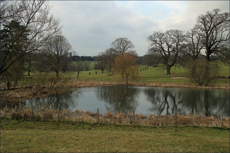
The lake in Londesborough Park

Bridge crossing the lake

The path leading out of the park

David and Gilly

The path back to Market Weighton

A claggy end to the walk - Weighton Clay Field - our walking boots weighed a ton after crossing this section
Follow the link for more walks in East Yorkshire (117)
