
Route: Circuit of Crummock Water
Area: Western Lake District
Date of walk: 11th January 2018
Walkers: Andrew
Distance: 8.5 miles
Ascent: 600 feet
Weather: Low cloud and mist, mostly dull
A bright weather forecast prompted me to plan a fell walk today, but the early morning brought with it low cloud and although I waited for a while there were no signs of improvement. I abandoned my carefully laid plan and decided instead to walk round Crummock Water, a walk I’ve done often before but one which I never tire of
I parked in the National Trust car park near Scale Bridge and followed the wide track through Lanthwaite Wood to the foot of Crummock Water. The lake was like a millpond as I passed by the fish ladder and started out along the sometimes squelchy shoreline path, with Mellbreak towering above on my right
Just beyond the head of the lake I crossed Buttermere Dubs and walked through Buttermere village, ignoring the tempting presence of 2 pubs and a cafe
The walk back along the other shore involves some contact with tarmac but it’s a quiet road and this is not an issue. Most of the road section may be avoided by diverting into Rannerdale, though I chose not to do so today in view of the rather uninspiring weather
At Cinderdale Common I left the road and dropped down to the shoreline path which I followed back to the foot of the lake, and from there I retraced my steps back to the start
For other walks here, visit my Find Walks page and enter the name in the ‘Search site’ box
Click on the icon below for the route map (subscribers to OS Maps can view detailed maps of the route, visualise it in aerial 3D, and download the GPX file. Non-subscribers will see a base map)

Scroll down – or click on any photo to enlarge it and you can then view as a slideshow

From the car park I follow the easy track to the foot of Crummock Water

I'll be walking anti-clockwise round the lake, it just seems the natural way to go...

My path will take me along the line of trees at the foot of Mellbreak

I cross the footbridge over the River Cocker at the point where it starts its journey to the sea

Lakeshore path through the trees

Looking across to the boathouse, which I'll pass by near the end of the walk

Southern end of Mellbreak

I pass by a stand of old pine trees

Rounding a small headland....


I walk along the stony beach

Rannerdale Knotts

A hint of blue but it flattered to deceive

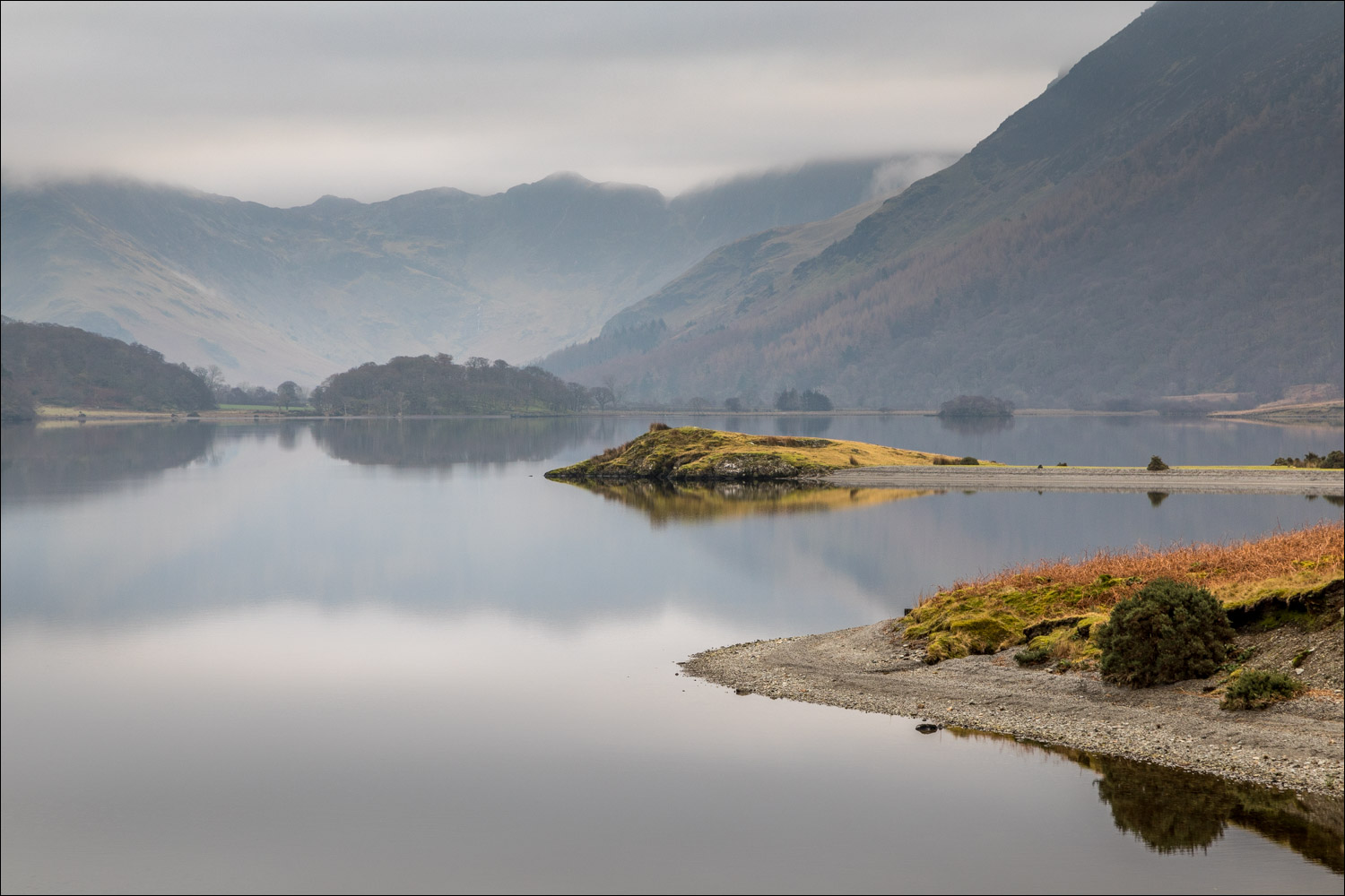
Low Ling Crag

Foot of Rannerdale Knotts from Low Ling Crag

Looking back to the foot of the lake

I cross the footbridge over Scale Beck

Another footbridge, and some soggy terrain beyond

Hause Point

Scale Island

Most of Fleetwith Pike is obscured by the persistent low cloud

I cross Buttermere Dubs via Scale Bridge

Path between Crummock Water and Buttermere to Buttermere village

Playing chicken on the Buttermere road

I pass by Cragg House Farm

I follow the road beside the fence - on a busier day I'd have taken the track to the right

The path on the right provides lovely retrospective views, but in view of the conditions I carry on along the road

Looking across to Holme Islands

Woodhouse Islands

Further along the road - very quiet today

Looking back to the head of Crummock Water

High Ling Crag, well reflected in the lake...


I follow the road around Hause Point

I leave the road at nearby Cinderdale Common and walk down the path to the lakeshore...


Reflections in Crummock Water

A short section through High Wood, a rather dark and gloomy place but thanks to the owner for permitting access to walkers

Another view across the lake after emerging from the wood

I pass by the boathouse

It just remains to retrace my steps through Lanthwaite Wood back to the start

Mellbreak and the River Cocker from the car park at journey's end

Later on, a surprise sunset over Lorton Vale, with Mellbreak left of picture
