
Route: Claife Heights
Area: Southern Lake District
Date of walk: 26th February 2020
Walkers: Andrew and Gilly
Distance: 5.1 miles
Ascent: 800 feet
Weather: Mostly sunny, cloudier later
The area around Far Sawrey, which was the start point of today’s walk, is associated with the name of Beatrix Potter. Known to the locals as Mrs Heelis, as well as writing the famous children’s stories, she was a landowner and notable breeder of Herdwick sheep. In the adjacent village of Near Sawrey is Hilltop, her home for many years, which she left to the National Trust and which is open to the public
It’s been too long since we last walked in this area and a return visit was well overdue. After parking in the small car park at Braithwaite Hall in Far Sawrey (a donation of £2 is suggested), we walked along the lane out of the village and at a bend joined a track leading south west. The views gradually opened out and there followed a delightful walk across the gently rolling countryside of Claife Heights, with good views of the distant snow capped lakeland fells. We passed by Moss Eccles Tarn and Wise Een Tarn, two of the scenic highlights of the walk, before arriving at Highs Moss and the start of the return leg
Thus far it had been a heavenly walk, but the return journey was rather disappointing in comparison. For much of the way we were walking along forest tracks and rough paths through densely planted coniferous woodland. Some areas had been felled, leaving a rather alien and desolate landscape. The highest point of the woodland is at High Blind How, but we’d read that the views of Windermere are now almost eclipsed by the growing trees so we ignored the opportunity to visit it. It was a relief to emerge from the woods back into the fields above Far Sawrey. The final section back into the village was a lovely stroll
It had proved to be a walk of two halves, but don’t let my criticism of the forestry section deter you – it’s a price worth paying for the outstanding scenery around the tarns and, unless you retrace your steps or greatly extend the length of the route, it’s the only way of getting back to the start
Click on the icon below for the route map (subscribers to OS Maps can view detailed maps of the route, visualise it in aerial 3D, and download the GPX file. Non-subscribers will see a base map)

Scroll down – or click on any photo to enlarge it and you can then view as a slideshow

The start of the walk as we pass by the Cuckoo Brow Inn in Far Sawrey

We follow this narrow lane, with Near Sawrey on the left

The gentle rolling hills which typify the landscape in these parts...


We leave the track here to follow the sign to Moss Eccles Tarn


Moss Eccles Tarn, owned by the National Trust - the tarn was bought by Beatrix Potter in 1913, the same year she married local solicitor William Heelis...

It is part of a Site of Special Scientific Interest and is valued for its damselflies and dragonflies

A Herdwick

Snow capped fells in the distance

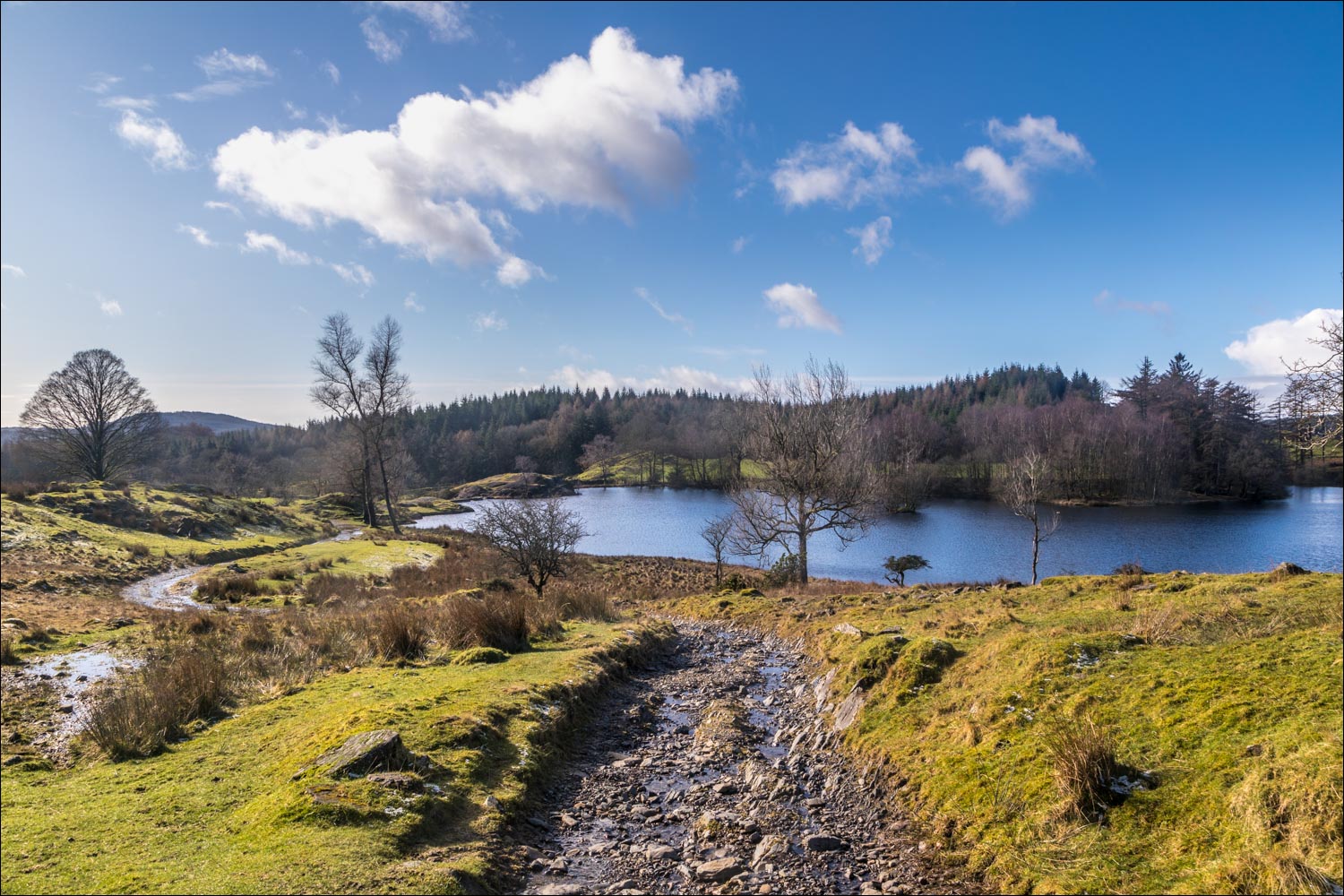
We pass by Wise Een Tarn

The Coniston Fells beyond the tarn


We pass by another small tarn, unnamed on the OS map

Views back to Wise Een Tarn...


Approaching the woodland section of the walk

A small tarn in Highs Moss

Red Screes and the eastern fells in the background

Bowness-on-Windermere through the trees

Much of this section is along narrow paths with no views whatsover, relieved by the occasional track


We took a short detour out of the wood for a view of Windermere

It's a relief when the woodland section ends and we emerge into idyllic countryside...

A small unnamed tarn has flooded the path and we detour around it

We follow this delightful path in the direction of Far Sawrey...


Looking across to the Coniston Fells

Fields near Far Sawrey

Near Sawrey afar and Far Sawrey nearby - the end of the walk is just around the corner
