
Route: Ceapabhal
Area: Outer Hebrides, Harris
Date of walk: 8th March 2024
Walkers: Andrew and Gilly
Distance: 4.1 miles
Ascent: 1,200 feet
Weather: Mostly sunny, very windy where exposed
Ceapabhal (Chaipaval) is the highest point on an uninhabited peninsula connected to the rest of the island by a strip of machair in between sandy bays. The hill’s isolated position on the westernmost tip of Harris makes it one of the best viewpoints in the Outer Hebrides
It was a beautiful sunny morning as we parked in one of the roadside spaces at the far end of Taobh Tuath (Northton). We set off across the machair full of anticipation, accompanied by the sight and sound of numerous lapwings, oystercatchers and skylarks. A little further on it was a thrill to spot a pair of golden eagles soaring in the sky above the summit of Ceapabhal. We passed by a couple of deserted beaches and in the distance spotted the ruined medieval chapel on Rubh’ an Teampaill, which reminded us that we’d passed this way six years ago
It was tempting to revisit the chapel but we had a hill to climb, so turned right beside a fence next to a gate. We followed a pathless course uphill, aiming for the summit which looked disconcertingly steep seen from below. The gradient was gentle at first but eventually we reached a steeper rocky section where a path emerged. It was quite a pull to the summit but there were no difficulties. Hands weren’t needed and it was a much simpler affair than we’d anticipated
We arrived at the OS trig point on the summit area, where there’s a stone cairn nearby. The views were sensational. I’ll let the photos tell the story. It was exceptionally windy at the top so after admiring our spectacular surroundings we set off on the descent, which was a simple matter of retracing our steps back to the start
It had been a fantastic walk
Click on the icon below for the route map (subscribers to OS Maps can view detailed maps of the route, visualise it in aerial 3D, and download the GPX file. Non-subscribers will see a base map)

Scroll down – or click on any photo to enlarge it and you can then view as a slideshow

The view of Ceapabhal from Blue Reef Holiday Cottages, our base this week

Ceapabhal from the nearby golf course, looking across Tràigh Scarasta, or Scarista Beach

A short while later, the start of the walk from the far end of Taobh Tuath (Northton)

We follow a track across the machair with the hills of North Harris on our right

The track takes us along the shore, with views of the island of Pabbay...


A tempting gate leads to another beach, but we leave the main path to start the climb up Ceapabhal

Looking back

Looking down to Tràigh na Cleabhaig and and ruined medi chapel on Rubh' an Teampaill (Northton Temple) which we'd visited six years ago

Onward and upward - there's no path during the early stage of the climb

The uninhabited island of Pabbay

Looking across to Scarista

Tràigh na Cleabhaig below

Ever improving views over Scarista and its neighbouring beach, Tràigh an Taoibh Tuath

Further up Ceapabhal, the going becomes steeper and rougher, and a path emerges. There are no difficulties and it's a simple climb

Tràigh an Taoibh Tuath below...

...and Scarista

Tràigh na Cleabhaig and the chapel on Rubh' an Teampaill again

Looking back along our route, with Northton in the distance

Scarista again

The gradient eases as we approach the summit

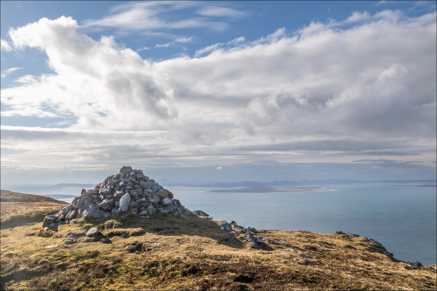
OS trig point at the summit of Ceapabhal, looking towards Pabbay

We detour to a nearby cairn. The walk could be extended here by descending the ridge to Toe Head

A few photos of the heavenly view from Ceapabhal...


There was a ferocious wind at the top, so we couldn't linger, and started on the descent, a simple matter of retracing our steps...

...and enjoying the views for a second time


From here it was a short stroll back to the start - what a fabulous walk it had been

On the way back we stopped the car to admire Ceapabhal seen across the sands of Scarista

Follow the link for more walks in Scotland (44)
