
Route: Castle Crag
Area: North Western Lake District
Date of walk: 4th November 2018
Walkers: Andrew
Distance: 5.9 miles
Ascent: 1,100 feet
Weather: Cloudy with some light rain
Castle Crag and King’s How are known as the ‘Jaws of Borrowdale’, and anyone who has driven into the valley will know why this is – these two sharp peaks form the gateway to Borrowdale, one of the loveliest square miles in the Lake District. I’d visited King’s How last week, and this reminded me that a return to its neighbour was well overdue.
I usually start this walk from Rosthwaite, which saves a mile or so, but today parked in the National Trust car park at Seatoller. The weather was rather grey and overcast but at least it compared favourably to yesterday’s miserable conditions, when it rained torrentially all day. I climbed up the fellside heading west out of Seatoller – thanks to the recent rain the footpaths were like small streams – and joined the mid level valley path which leads to Derwent Water and Keswick.
Castle Crag soon came into view and before long I arrived at the foot of the fell. Standing at 985 feet, it’s the lowest of the lakeland fells as classified by Wainwright, and the only one under 1,000 feet to make an appearance in his guides. Its rugged appearance and wonderful position caused Wainwright to break his own rule and to award the fell the ‘full treatment’… ‘a distinction well deserved’.
It’s a steep but short climb to the summit and near the top the path consists of loose slate, the remnants of quarrying which once took place here. After admiring the views, which were limited by the low clouds, I descended via another path of loose slate and rejoined the path to Keswick. After a few minutes I arrived at the bank of the River Derwent and this signalled the half way point of the walk. The return journey was along a series of paths with the river never far away on my left. The weather was poor for much of the walk, but the outstanding scenery overcame this deficiency, and it was an enjoyable walk
For other walks here, visit my Find Walks page and enter the name in the ‘Search site’ box
Click on the icon below for the route map (subscribers to OS Maps can view detailed maps of the route, visualise it in aerial 3D, and download the GPX file. Non-subscribers will see a base map)

Scroll down – or click on any photo to enlarge it and you can then view as a slideshow

The day before the walk, a red squirrel in the rain

The start of today's walk, looking towards the Borrowdale Fells as I climb away from the car park in Seatoller

Looking across to Thornythwaite Fell and Rosthwaite Fell

Autumn colours in Borrowdale

Looking back along the path, with the Honister Pass beyond

Castle Crag comes into view, with a small patch of sunlight on Skiddaw

Another view back along the path

Rosthwaite and Great Crag across the valley

Stonethwaite and the imposing face of Eagle Crag

I cross the footbridge over Tongue Gill

Waterfall in Tongue Gill

Looking back to the Borrowdale Fells...


Derwent Water comes into view as I reach the foot of Castle Crag. I leave the main path here and follow a fainter one to the right

I make my way up between the crags

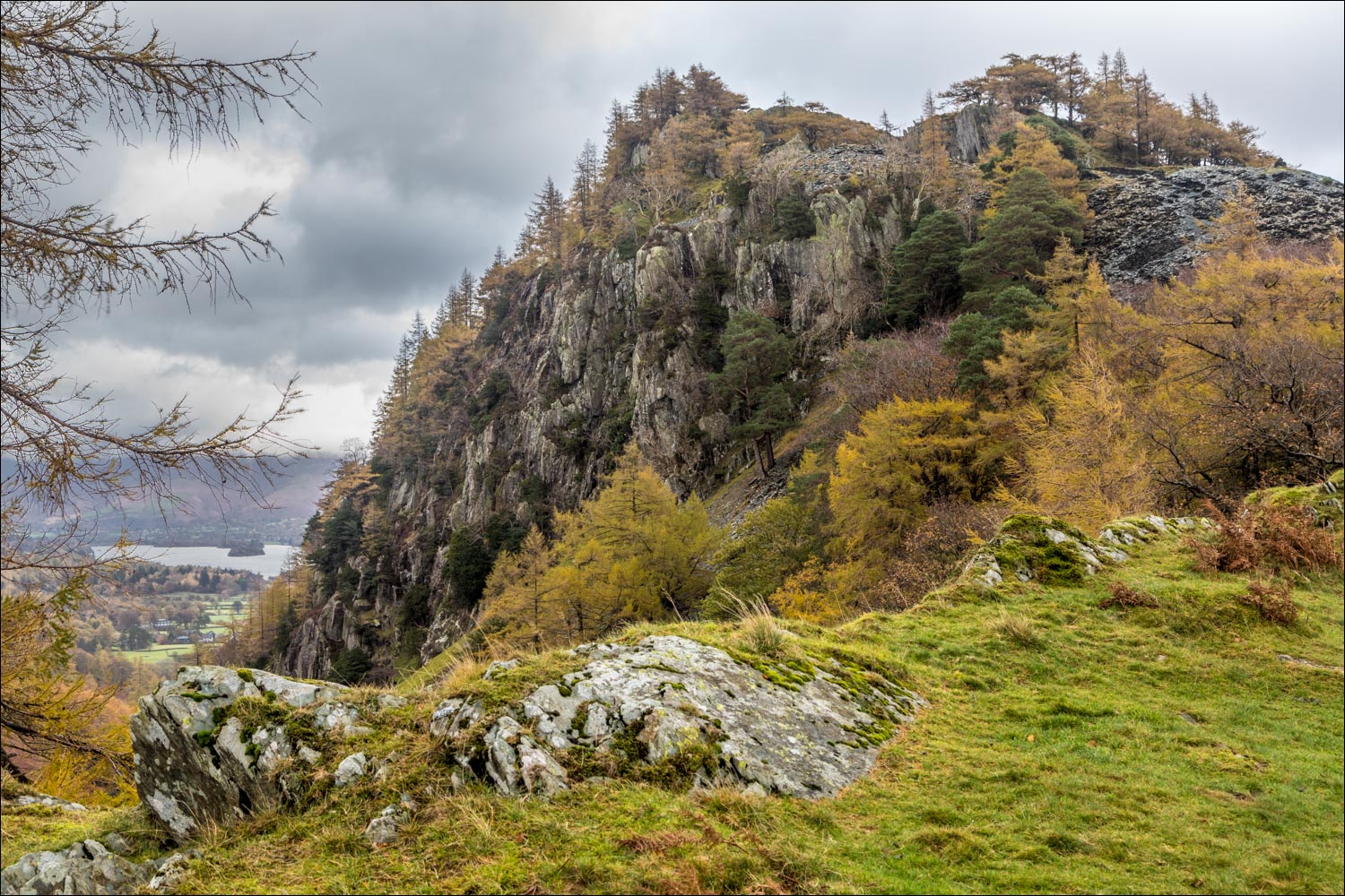
Castle Crag from a grassy plateau

Looking down to the main path, which I'll rejoin after the descent

Stonethwaite Beck and Eagle Crag

Rosthwaite Fell, with Glaramara in the clouds

The main path below

Looking down the path I'd followed

Borrowdale, from a cairn below the summit

Another view back along my approach path

Derwent Water from the summit of Castle Crag - the Skiddaw Fells are in the clouds

The war memorial tablet at the summit...


Looking down into one of the quarries

I descend back to the main path, and turn right when I reach it

Entering High Hows Wood

Broadslack Gill


The River Derwent - this marks the halfway point of the walk and I turn south here

Low Hows Wood...

Looking across Borrowdale, which is confined here to the width of the road and the river by Castle Crag and Grange Fell

The path continues through the wood, with the river to my left...


Looking back along the Derwent

I pass by New Bridge, which was new once upon a time

I continue along the riverbank path, with Bessyboot and Rosthwaite Fell ahead...


The path passes through the Borrowdale YHA, where worn out walking boots are put to good use

A rocky section beyond the YHA where chains have been fixed, but there are no difficulties

Johnny Wood

Approaching Seatoller

A final look across Borrowdale at the end of the walk
