
Route: Blake Fell and Gavel Fell
Area: Western Lake District
Date of walk: 20th April 2018
Walkers: Andrew
Distance: 6.1 miles
Ascent: 1,800 feet
Weather: Sunny
Blake Fell (which is known locally as Blake) is the highest of the five Loweswater Fells at 1,878 feet though it can’t be seen from the valley, being obscured by the high ridge terminating in Carling Knott. Gavel Fell is the second highest of the group, but both are overlooked in favour of their neighbour Mellbreak which is closer to the spectacular scenery of Buttermere and its fells
This makes today’s walk an ideal choice for anyone seeking solitude. Very few people come this way, and in the course of 6 miles I only saw 4 other folk
I hadn’t made a particularly early start, and so it was a relief to find a space in the small car park at Maggie’s Bridge, where there is only room for about 8 cars. I followed the track through High Nook Farm, ascending gently all the while, until I reached High Nook Tarn. Just beyond here the collar work starts in earnest and the initial pull up the lower slopes of Blake Fell is a steep one, though zig zags in the path help to iron out the gradient. On reaching the ridge line near Fothergill Head I forked off to the right to make a ‘there and back’ ascent of Blake Fell. It was easy going and there were huge views from the summit, including the Irish Sea to the west and Crummock Water to the east
Having retraced my steps to Fothergill Head I made the short but at times squelchy climb up to Gavel Fell. The views from here are good, but not as extensive as those from its neighbour Blake Fell. I descended along a faint path beside Black Crag, with views over Lorton Vale ahead of me, before reaching a wider path which brought me back to the track to High Nook Farm. From here it was a short stroll back to the start of a walk which I’d enjoyed in perfect peace and solitude, the only sounds being the songs of the skylarks along the way
Click on the icon below for the route map (subscribers to OS Maps can view detailed maps of the route, visualise it in aerial 3D, and download the GPX file. Non-subscribers will see a base map)

Scroll down – or click on any photo to enlarge it and you can then view as a slideshow

The start of today's walk from Maggie's Bridge

Heading towards High Nook Farm beside a beautifully made dry stone wall which seems to serve no purpose

Looking back

The bridge over the beck before High Nook Farm has been destroyed by floods, and a temporary one is in place until it can be rebuilt

Beyond the farm, a view back over Lorton Vale, with Low Fell left and Whiteside right

Approaching High Nook Tarn, unseen from here, with my route up the fellside between the two becks

High Nook Tarn, and the zigzag path which I'm aiming for

I walk between two old redundant gateposts - the hard work is about to begin

A view back through the gateposts

Looking back to High Nook Tarn and Lorton Vale from the zigzags

The steep slopes of Carling Knott

Looking across to Whiteside, Grasmoor and Crummock Water

The gradient eases as I gain height

A view back along the path

I turn right for Blake Fell before this stile

Navigation is simple - just follow the fence

To quote Wainwright - 'With their customary disregard for walkers, the Forestry Commission have omitted to provide a stile. Get over, but mind your reproductive organs if wanted for future use'. Thankfully a stile is now in place

Whiteside and Grasmoor, amongst others, from Blake Fell

The summit cairn, looking west to the coast and the Irish Sea

Fleetwith Pike at the head of Buttermere

A glimpse of Ennerdale

Cogra Moss reservoir and Knock Murton

I retrace my steps from the summit of Blake Fell

The path to Gavel Fell can clearly be seen from here right of picture, then turning left as higher ground is reached

Looking back to Blake Fell

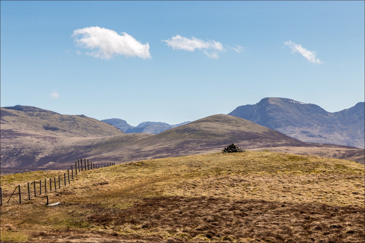
Another line of fence post to follow, this time to Gavel Fell

Approaching the summit of Gavel Fell

Too many fells to list in full, but Dale Head left, Red Pike and High Stile centre, and Great Gable towards the right

Harsh contrasty sunlight facing north, and not an attractive photo, but I've included it to illustrate the descent - which is easy

Fleetwith Pike

Mellbreak, and Grasmoor beyond

Loweswater and Low Fell

Looking down to High Nook Tarn, which I'd passed by earlier

A view back towards Blake Fell, summit unseen from here

Hen Comb

I turn left at the path running across the centre of the picture

Grasmoor and the foot of Mellbreak

High Nook Tarn again

Carling Knott and the corner of Holme Wood

I rejoin the track back to High Nook Farm and from here retrace my steps back to the start...

