

Route: Low Fell, Darling Fell and Loweswater
Area: Western Lake District
Date of walk: 28th November 2014
Walkers: Andrew
Distance: 8.7 miles
Weather: plenty of sunny intervals, wonderful light, cold on the tops
I made the short journey across Lorton Vale and parked in the layby just outside Thackthwaite, where there is room for about six cars. The sun was rising and the signs were good – just what I needed for another visit to my favourite fell
I followed the path uphill from Thackthwaite and was soon on the ridge of Low Fell. The best view is from a point just beyond the southern cairn and described by Wainwright as a ‘view of classical beauty, an inspired and inspiring vision of loveliness…..a scene of lakes and mountains arranged to perfection’. Although I’ve been up here many times, I never tire of this scene and stood here in awe for some time taking in the view, before reluctantly turning away to retrace my steps for a short distance. I then made the steep down and up to Darling Fell, the views from here being nearly as good as those from Low Fell
It was an easy descent from Darling Fell to the old Mosser Road and thence to Loweswater. I walked through Holme Wood, managed by the National Trust, following the lakeside path. Once I reached Maggie’s Bridge, the rest of the return journey was along quiet country lanes. This didn’t detract from the enjoyment in any way – there was hardly any traffic at all, perhaps 3 cars in as many miles
It was a walk in heaven every step of the way
For other walks here, visit my Find Walks page and enter the name in the ‘Search site’ box
Click on the icon below for the route map (subscribers to OS Maps can view detailed maps of the route, visualise it in aerial 3D, and download the GPX file. Non-subscribers will see a base map)

Scroll down – or click on any photo to enlarge it and you can then view as a slideshow

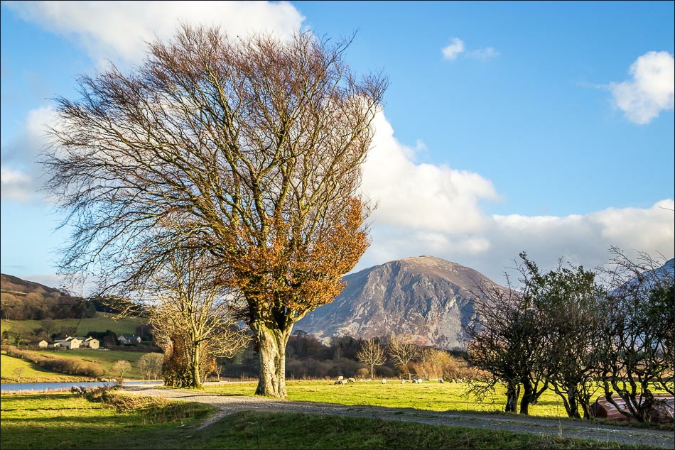
Dawn breaks over Lorton Vale and the signs look promising - Low Fell is on the far side of the valley

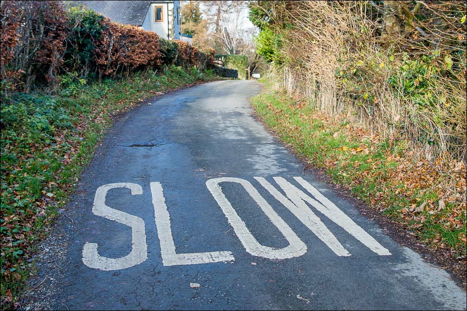
I drive over to Thackthwaite and walk into the village, taking care to avoid the delinquent squirrels
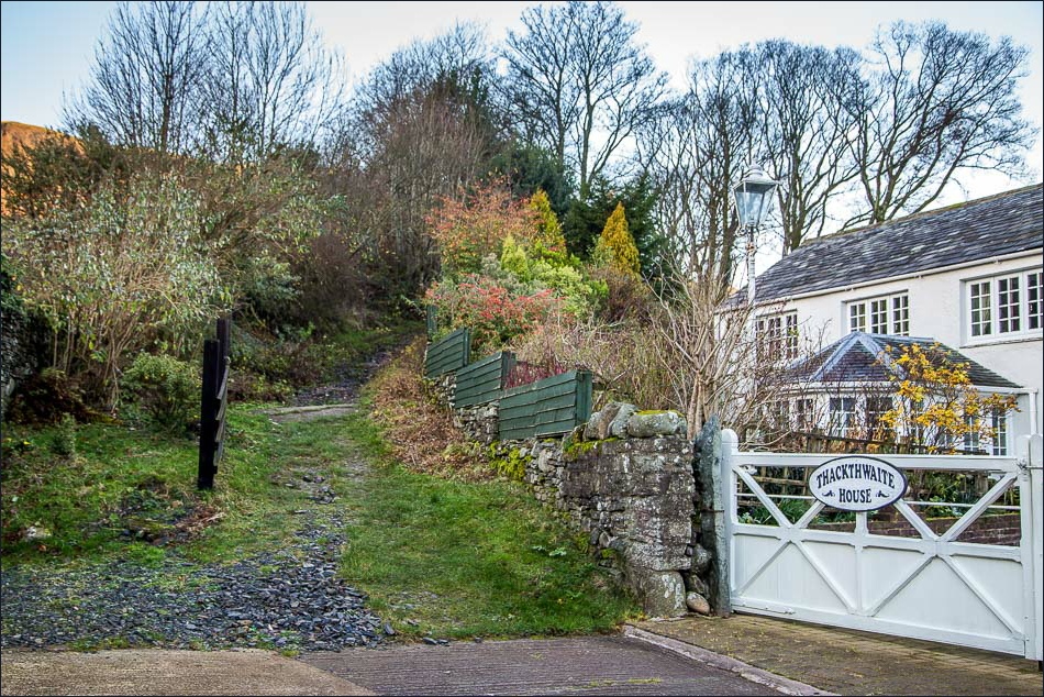
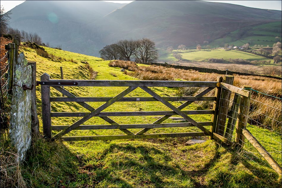
I leave the road at Thackthwaite House to walk up this path towards Low Fell

Watching Crag, part of the ridge along Low Fell
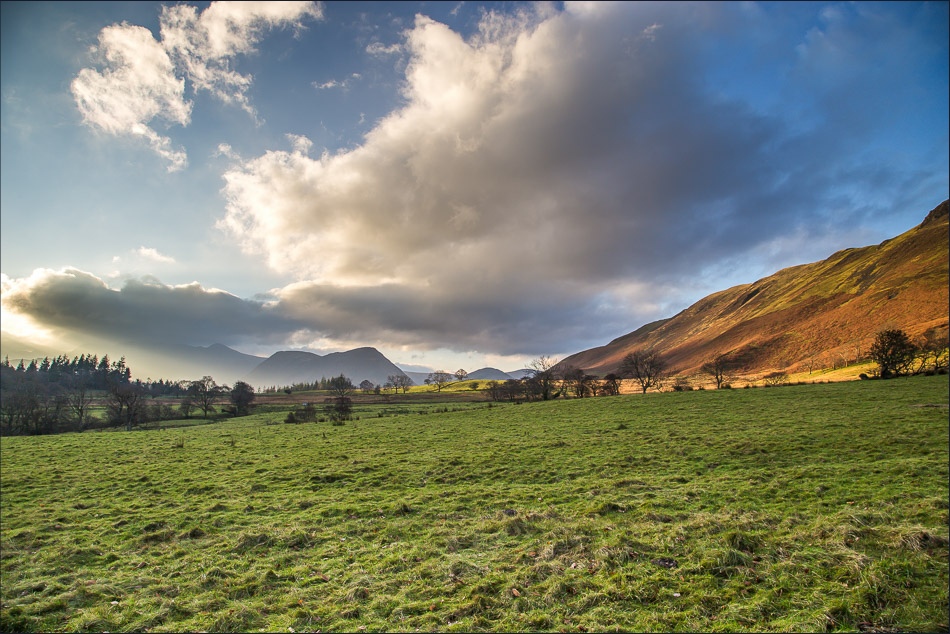
Mellbreak in the distance

Mellbreak again

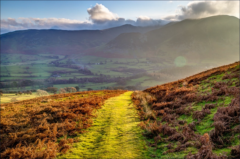
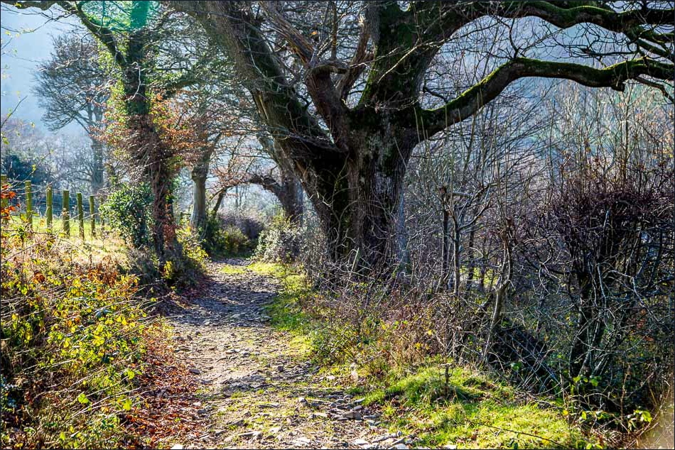
An old drove road heads away from the summit at first

Looking back along the drove road
A little further on, looking back over Lorton Vale

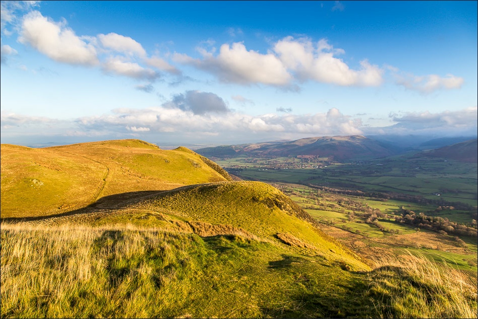
Start of the summit ridge along Low Fell

Further along the ridge

A view down into Lorton Vale

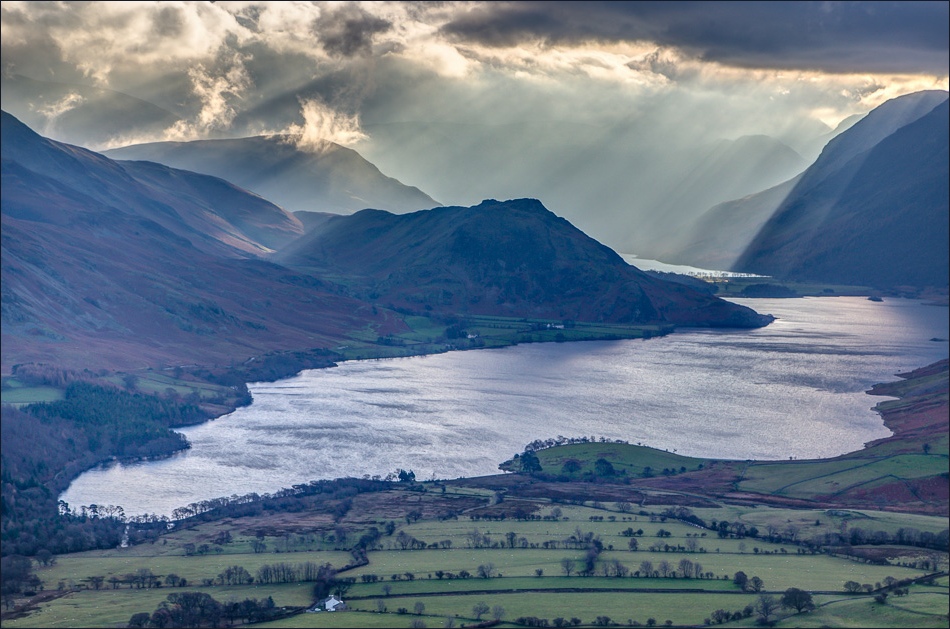
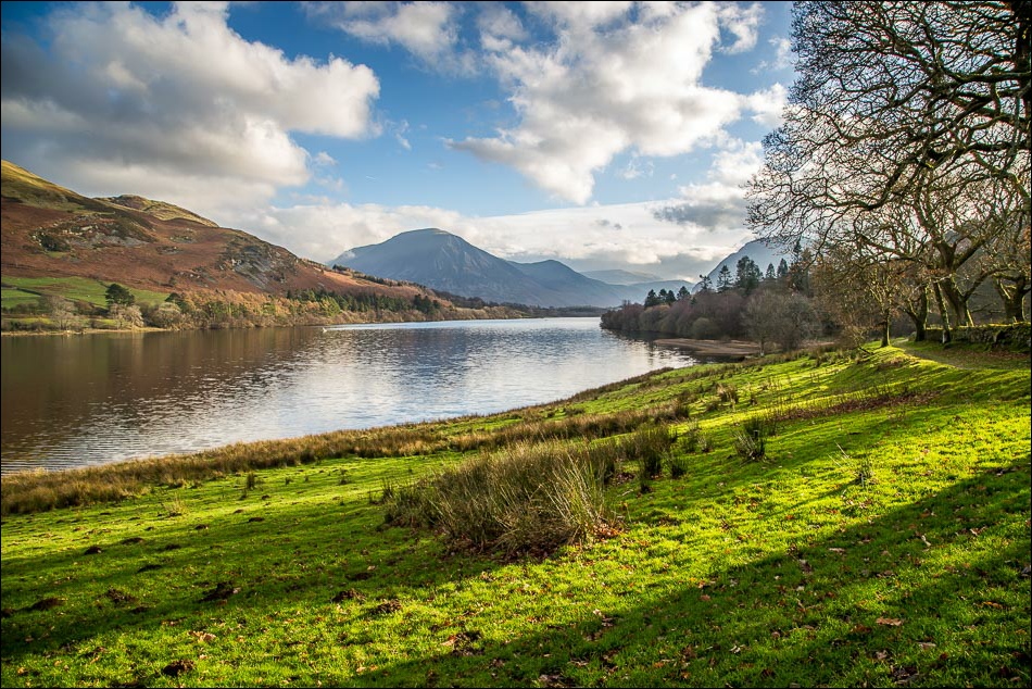
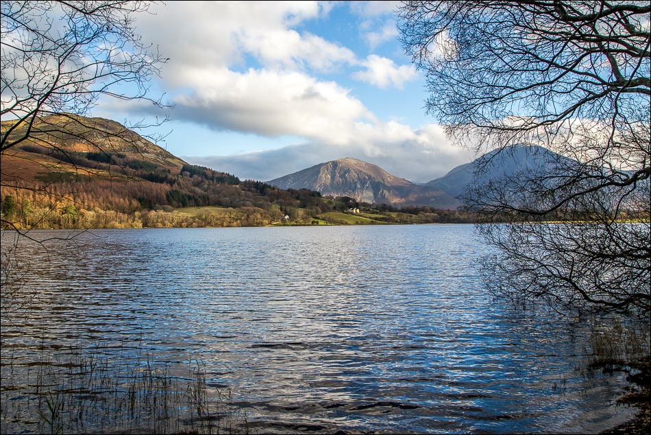
Crummock Water

Whiteside and Grasmoor on the far side of Lorton Vale

Rannerdale Knotts
Looking back towards Lorton

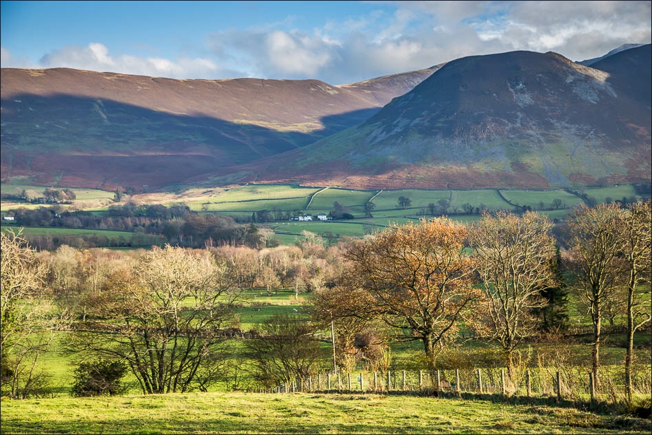
Redhow Wood, and Millbeck on the far side of the valley
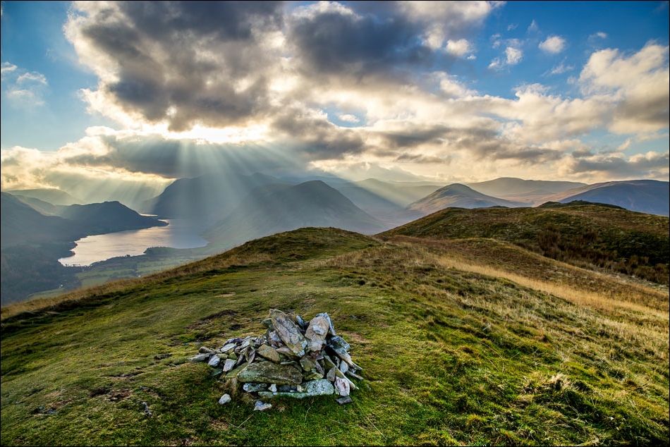
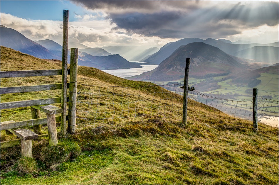
North top of Low Fell, but I carry on to the south top which has even better views

From the south top - Mellbreak, Crummock Water and a glimpse of Buttermere beyond

Loweswater and Carling Knott

The light and cloud formations were changing all the time - this is Crummock Water and Rannerdale Knotts
And again a couple of minutes later

The Loweswater Fells from the south top

And again, this time with Crummock Water and Buttermere in the picture - what a fantastic view

Reluctantly I left the summit to make the steep down and up to Darling Fell, following the line of the fence all the way

Looking back to Low Fell, with Whiteside and Grasmoor behind it

More wonderful views as I make my way up the steep grassy slopes of Darling Fell

Summit of Darling Fell, looking back to Low Fell

The view along Crummock Water from here rivals that from Low Fell

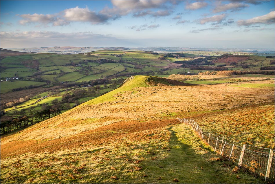
Walking down from Darling Fell towards Askill Knott. The coastal views are a little hazy today
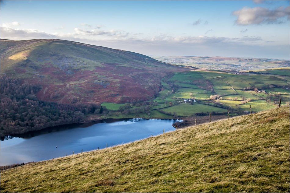
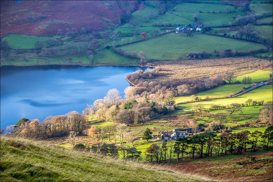
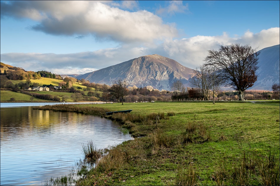
Loweswater
Looking towards the Irish Sea
That view again
Descending to Loweswater

Just below this point I met a couple who were on the way up to Low Fell - the first people I’d seen all morning. I hope they enjoyed the walk as much as me
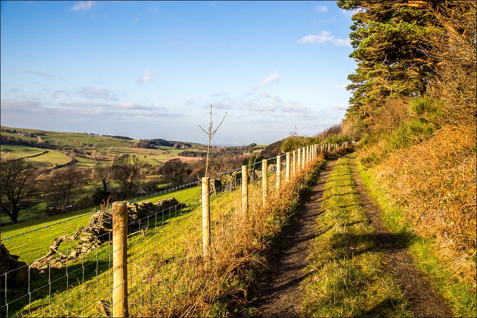
I walk along the old Mosser Road for a short distance before turning sharp left to descend to the lake
The path leading down to Loweswater
down to Loweswater

Crossing the footbridge at Waterend

Loweswater, with the sharp outline of Fleetwith Pike in the distance

A view back to Darling Fell
Loweswater

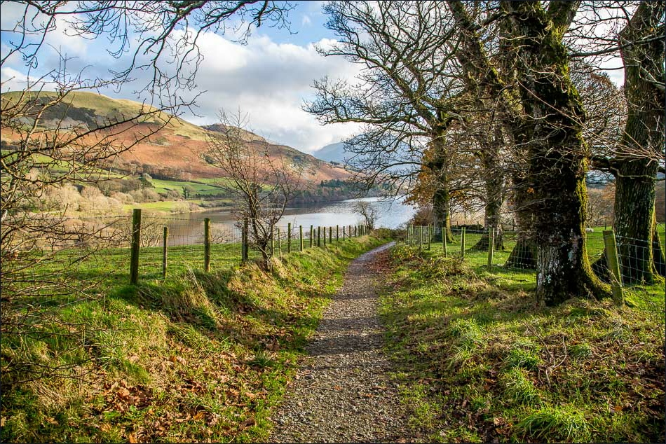
I follow the lakeshore path
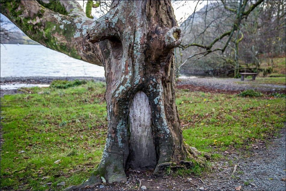
I wonder who lives here?

Holme Wood Bothy - available to rent from the National Trust
Whiteside
Whiteside again

Darling Fell and Low Fell

Whiteside and Grasmoor

The lane leading from Maggie’s Bridge

With a great effort of willpower I follow the first sign for Thackthwaite and ignore the second one pointing to the Kirkstile Inn

The lovely view of Crummock Water from Foulsyke

Scale Hill
Back in Thackthwaite - the end of a memorable walk
Back to the start and a last look across Lorton Vale
