Route: Coniston Water
Area: Southern Lake District
Date of walk: 27th November 2014
Walkers: Andrew
Distance: 9.7 miles
Weather: overcast and dull, clouds on tops, no wind
Plan A today was to climb Dow Crag and Coniston Old Man but the cloud was down so it would have been pointless. Thanks to the Mountain Weather Information Service I’d been anticipating this, and had a Plan B up my sleeve, a low level walk along the shore of Coniston Water
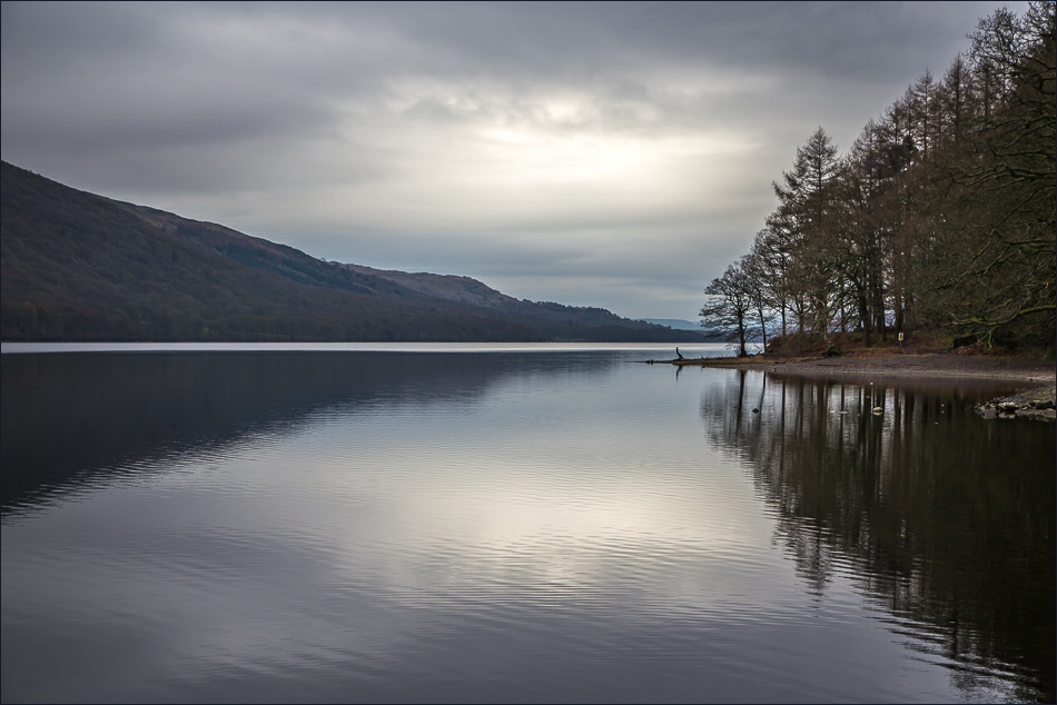
Coniston Water is the fifth largest of the lakes, at five miles long, and with a maximum depth of 184 feet. It provided an important fish source for the monks of Furness Abbey who owned the lake and much of the surrounding land in the 13th and 14th Centuries
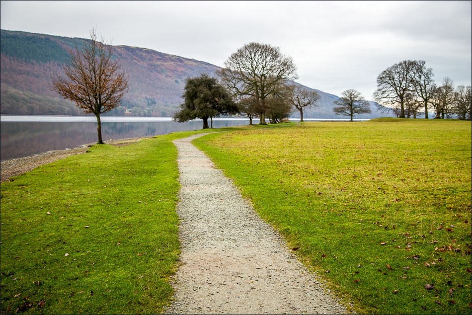
I parked near the centre of Coniston and walked out of the village to the lakeshore. An easy path, part of the Cumbria Way, took me along the western shore for about 4 miles and I then headed inland towards Torver
After passing through Torver I climbed up the foothills of the Old Man and just beyond the climbing hut took the path leading back into Coniston, with good views of the lake ahead of me towards the end
It was an enjoyable walk but the weather was very dull and gloomy
Click on the icon below for the route map (subscribers to OS Maps can view detailed maps of the route, visualise it in aerial 3D, and download the GPX file. Non-subscribers will see a base map)

Scroll down – or click on any photo to enlarge it and you can then view as a slideshow

Coniston, near the start of the walk

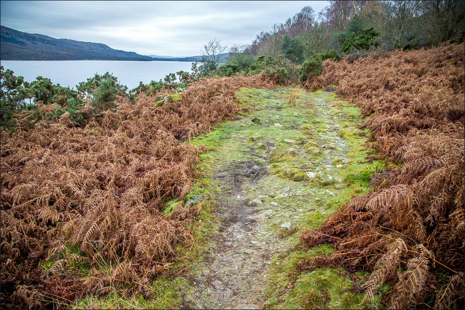
The path to Coniston Water

Approaching the lake

Looking back to Coniston and the Coniston Fells

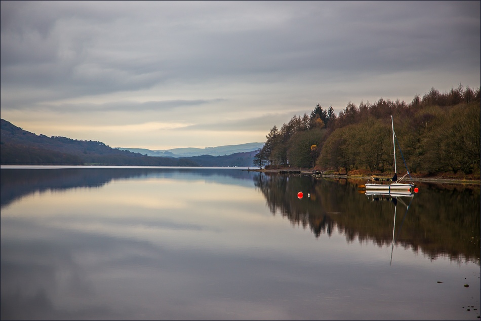
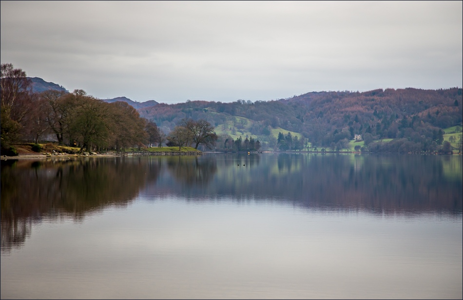
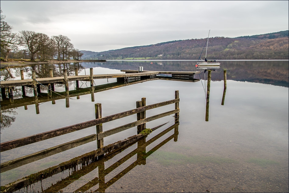
Coniston Water

Coniston Hall

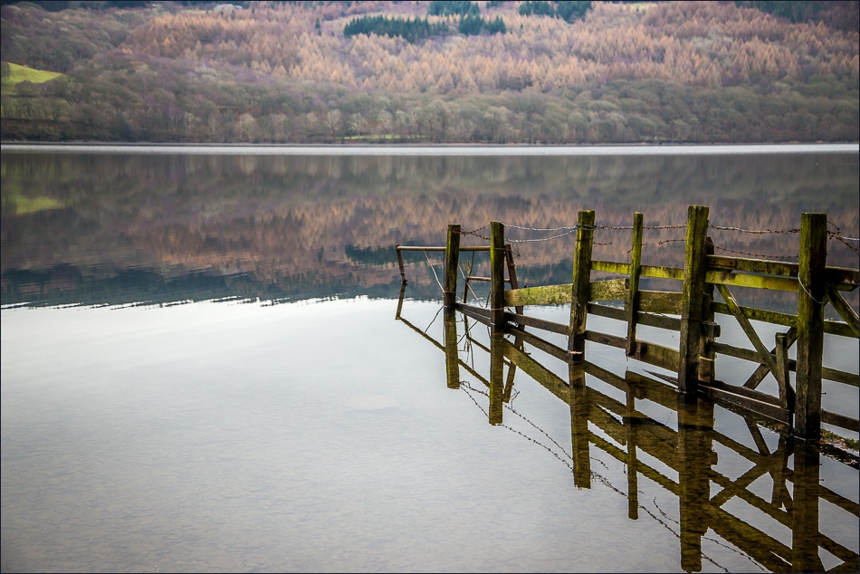
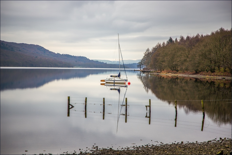
Following the Cumbria Way along the west shore of the lake

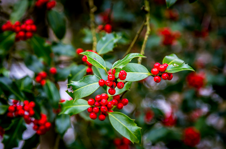
A welcome splash of colour

I leave the lakeshore path shortly after passing by this seat

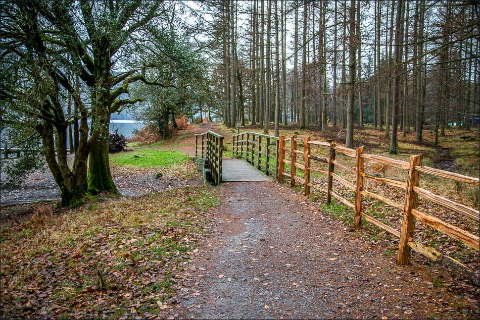
Heading inland now towards Torver Common

Approaching Torver

Beyond Torver now - the higher fells are completely obscured by the clouds

Disused quarries along the banks of Torver Beck

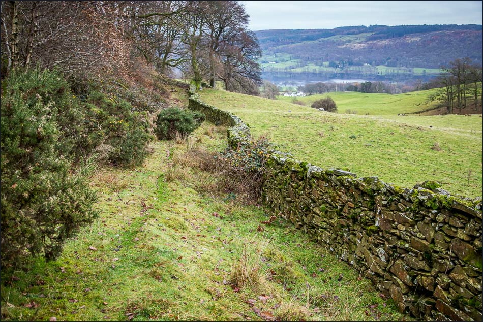
Coniston Water comes into view as I gain height

Dropping back down to Coniston

Coniston ahead

Back in the village