
Route: Yokefleet to Faxfleet
Area: East Yorkshire
Date of walk: 27th May 2013
Walkers: Andrew and Gilly
Distance: 8.6 miles
Ascent: 300 feet
The contrast between this walk and my last one up Kirk Fell, as far as the terrain is concerned, could hardly be greater. The scenery here is completely flat, and reminiscent of Holland
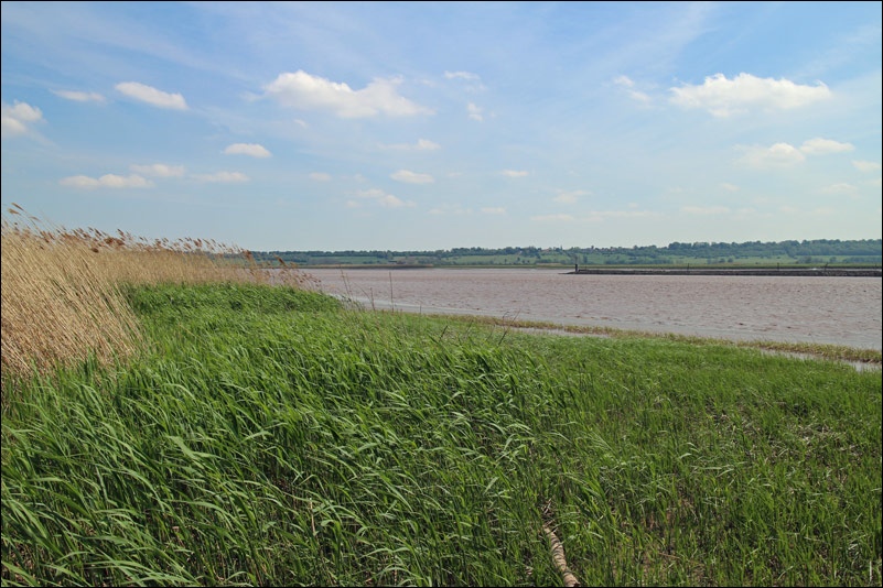
We started in the remote and peaceful village of Yokefleet and joined the Trans Pennine Trail which runs along the north bank of the River Ouse. Most of the trail is along an embankment which forms a flood defence
After stopping for refreshments at the Hope and Anchor in Blacktoft, we carried on along the riverside to Faxfleet, the point at which the Rivers Ouse and Trent flow together to form the Humber
The area is a paradise for birdwatchers – the RSPB reserve at Blacktoft Sands is on the opposite bank
After reaching Faxfleet we returned to Yokefleet along deserted country lanes. We’d thoroughly enjoyed our walk in this remote part of East Yorkshire
Click on the icon below for the route map (subscribers to OS Maps can view detailed maps of the route, visualise it in aerial 3D, and download the GPX file. Non-subscribers will see a base map)

Scroll down – or click on any photo to enlarge it and you can then view as a slideshow

Yokefleet

After leaving the village we walk towards the River Ouse

The village across the river is Whitgift

Restored windmill at Yokefleet

Footprints of Canada Geese


The Hope and Anchor Inn at Blacktoft - what a great location

These went down a treat

At Faxfleet Ness, where the Ouse and the Trent combine to form the Humber

A cruise on the Ouse

On the return leg, looking inland


Blacktoft Parish Church

Arriving back at the start point - Yokefleet
Follow the link for more walks in East Yorkshire (116)
