
Route: Burton Stather to Winteringham
Area: North Lincolnshire
Date of walk: 20th July 2014
Walkers: Andrew
Distance: 10.4 miles
Weather: sunny and warm, hazy, gradually clouded over
As this is a linear walk, we needed two cars and I left mine at Winteringham Church, then Gilly dropped me off at Burton Stather enabling me to walk back
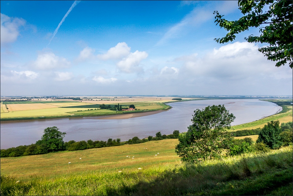
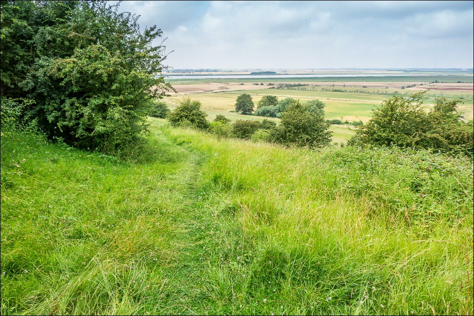
The path out of the village followed the top of The Cliff, which is not so much of a cliff but an escarpment which gives great views over the River Trent. Further along the path at Alkborough there were views of the confluence of the Rivers Trent Ouse and Humber
At Alkborough I descended a permissive path down the escarpment to the Flats, a wildlife haven where I enjoyed some wonderful sightings including a barn owl, bearded tits, snipe, lapwing, curlew and much else besides. Further along the way I saw an avocet and a marsh harrier. This was a fantastic section for anyone interested in bird spotting
The surrounding landscape may be flat but there’s plenty of interest along the route, now known as the South Humber Heritage Trail (click here for more), and I really enjoyed the walk from start to finish
Click on the icon below for the route map (subscribers to OS Maps can view detailed maps of the route, visualise it in aerial 3D, and download the GPX file. Non-subscribers will see a base map)

Scroll down – or click on any photo to enlarge it and you can then view as a slideshow

At the start of Andrew’s latest walk, I walk through the churchyard of the aptly named St Andrew’s Church in Burton Stather
Looking back along the River Trent from The Cliff
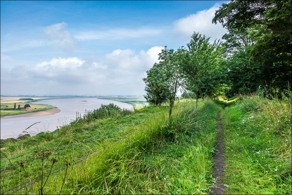
Further along the escarpment

Zooming in to Island House

Island House across the river and Island Sand further along

I follow the sign to Alkborough
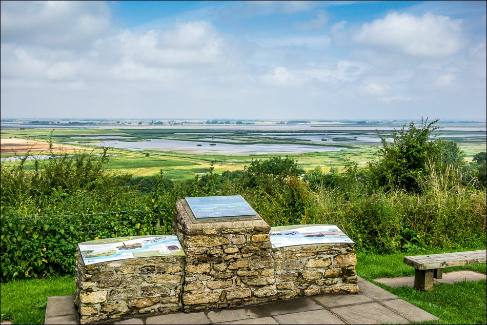
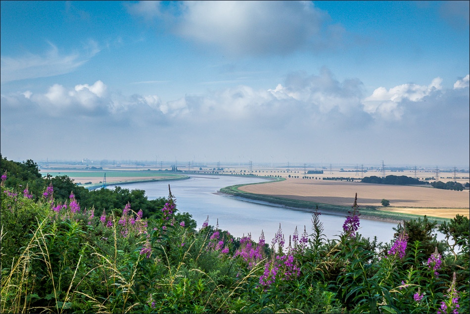
From the Millenium Plaque in Alkborough, looking across The Flats

It was too hazy today to see some of the sights visible from here, which include the Derbyshire Peaks and York Minster

The turf cut maze known as Julian’s Bower
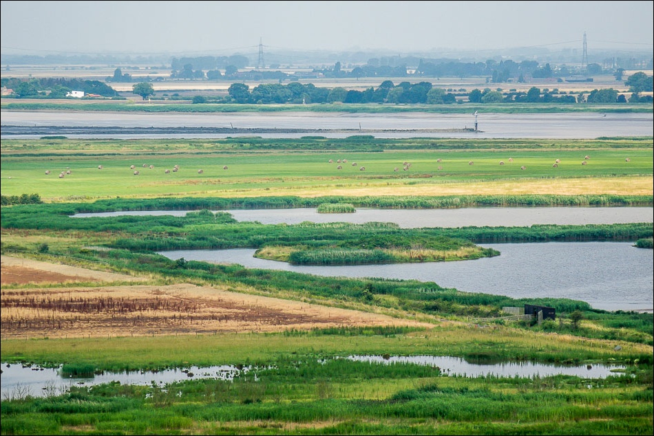
The confluence of the Rivers Trent Ouse and Humber beyond The Flats
I follow a permissive path down to The Flats

Flat by name and flat by nature
Looking back up to Alkborough

A deliberate breach in the flood bank to alleviate flooding elsewhere has turned this area into a wildlife haven - I enter the hide ahead to see what I can see
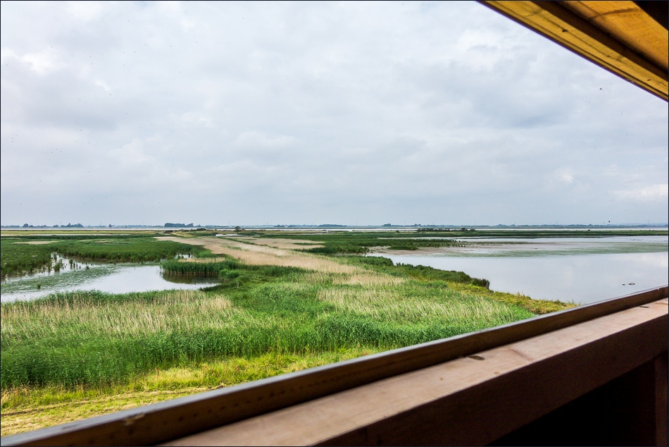
Looking across The Flats from one of the windows in the hide

Heron

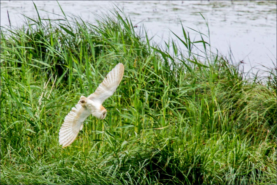
A wow moment - a Barn Owl
Don’t forget your binoculars if you come here, there’s so much to see
Devil’s Causeway

Greylag Geese

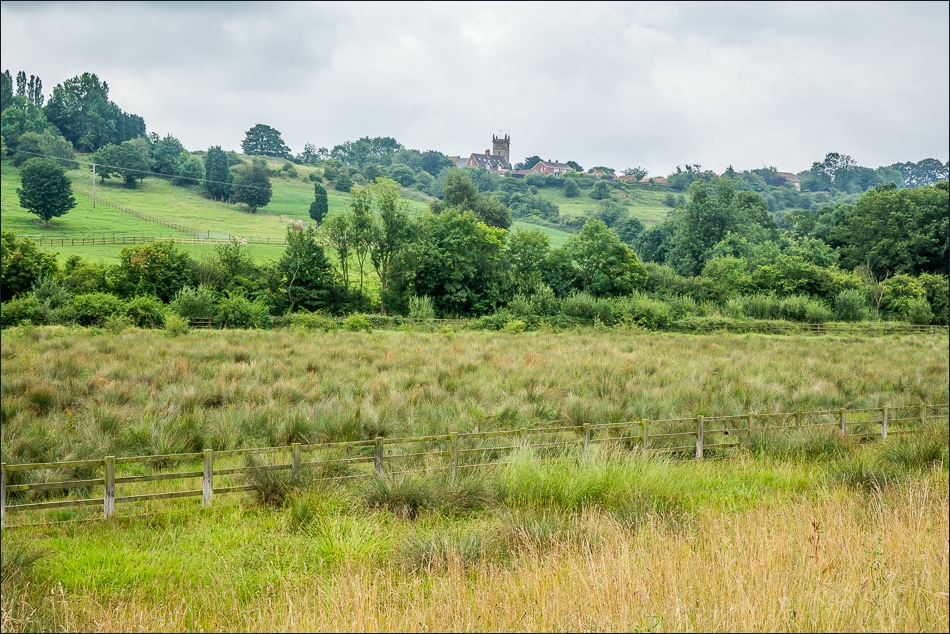
I pass by the village of Whitton

Church of St John the Baptist Whitton

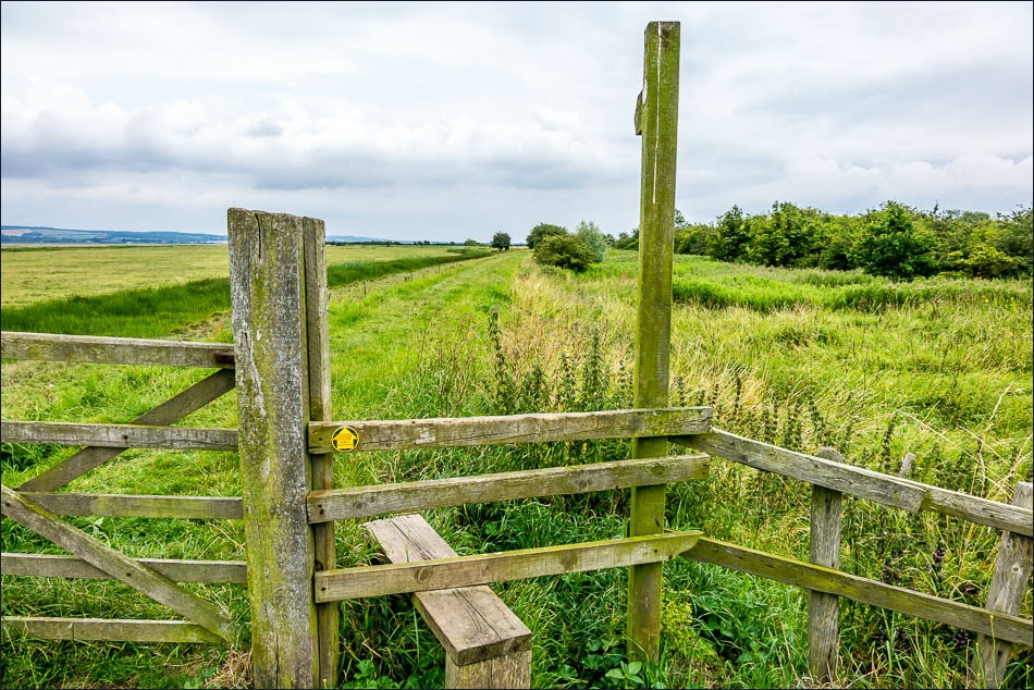
One of the several information boards along the Heritage Trail
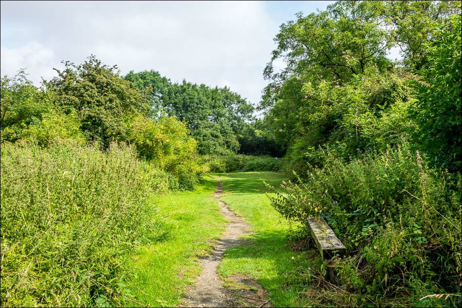
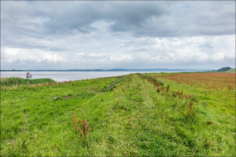
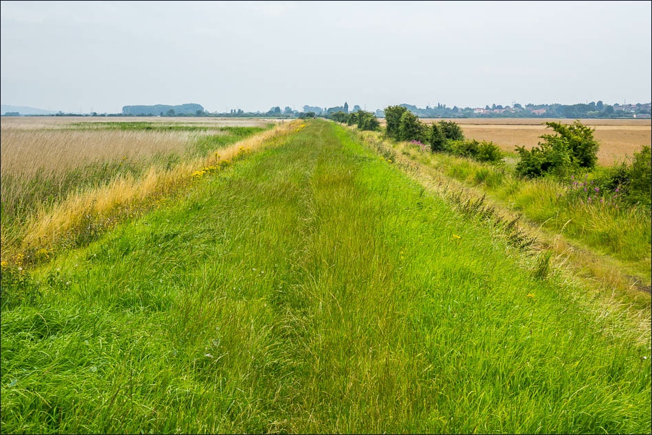
The trail follow a raised causeway all the way back to Winteringham

A Peacock - there were hundreds of butterflies and moths along the way

Looking across the Humber
Approaching Winteringham

Journey’s end - Winteringham
Follow the link for more walks in Lincolnshire (26)
