
Route: Whitby
Area: North York Moors
Date of walk: 23rd June 2013
Walkers: Andrew and Gilly
Distance: 8.0 miles
Ascent: 500 feet
We parked close to the station and walked over the swing bridge which crosses the River Esk, heading east out of the town. This took us through the suburbs of Whitby and along a road for a short section – a sacrifice that has to be made to make it possible to walk back into the town via the coastal path
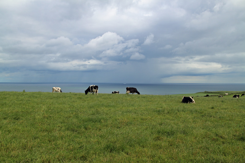
The North Sea was a welcome sight, and we walked towards this through attractive farmland, eventually arriving at the coast, by the Whitby Fog Signal. We then joined the Cleveland Way, which follows the top of the cliffs, with lovely views towards Whitby and out to sea
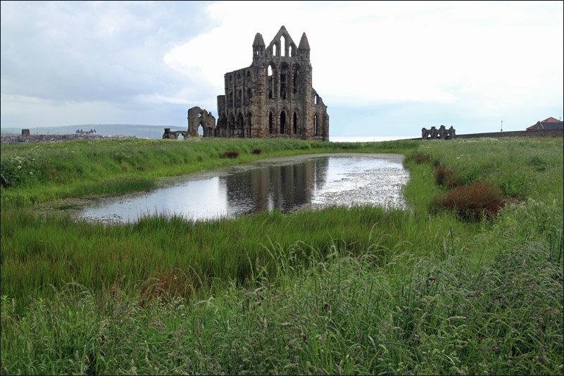
Just before the end of the walk we descended the cliffs along a path which leads to Saltwick Bay, and went down to the beach. After climbing back up to the path, we visited Whitby Abbey, and from there walked down the 199 steps before exploring the narrow streets for a while
The weather was mixed – some sunshine but also a few torrential downpours, though these didn’t spoil a really enjoyable walk
For other walks here, visit my Find Walks page and enter the name in the ‘Search site’ box
Click on the icon below for the route map (subscribers to OS Maps can view detailed maps of the route, visualise it in aerial 3D, and download the GPX file. Non-subscribers will see a base map)

Scroll down – or click on any photo to enlarge it and you can then view as a slideshow
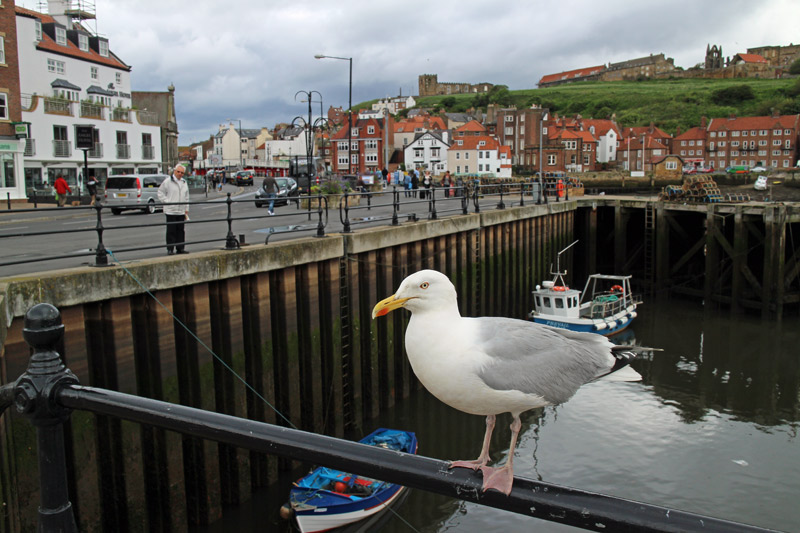

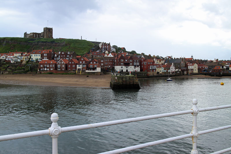
Whitby harbour

After leaving the town, a view back towards the abbey
After a rather unattractive section, we approach the coastal path and things start to improve

The lighthouse, where we join the Cleveland Way to return towards Whitby

The North Sea - some dark clouds above which showered us from time to time

Kittiwakes nesting in the cliffs

Further along the Cleveland Way

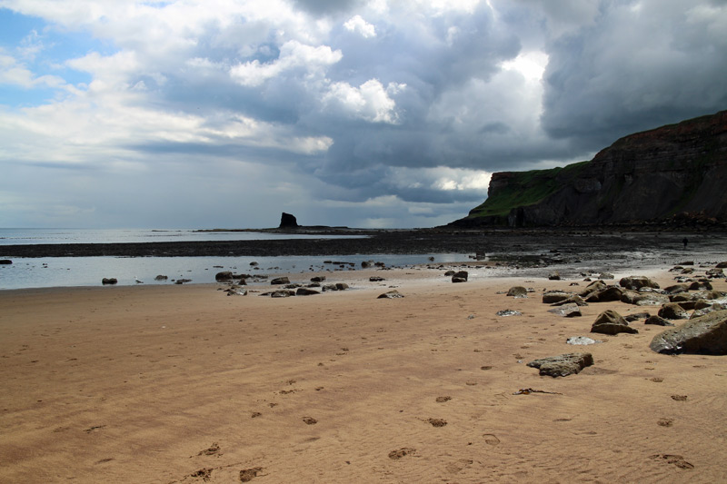
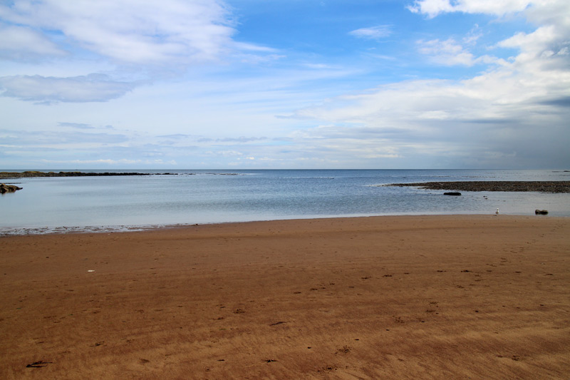
Approaching Saltwick Bay

A path leads down to the beach at Saltwick Bay

Arriving back at Whitby - St Mary’s Church, also known as ‘Dracula’s Church’

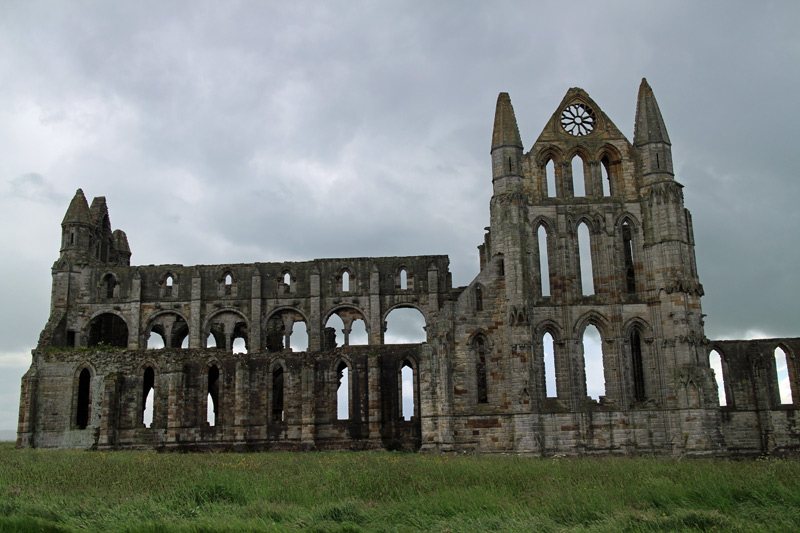
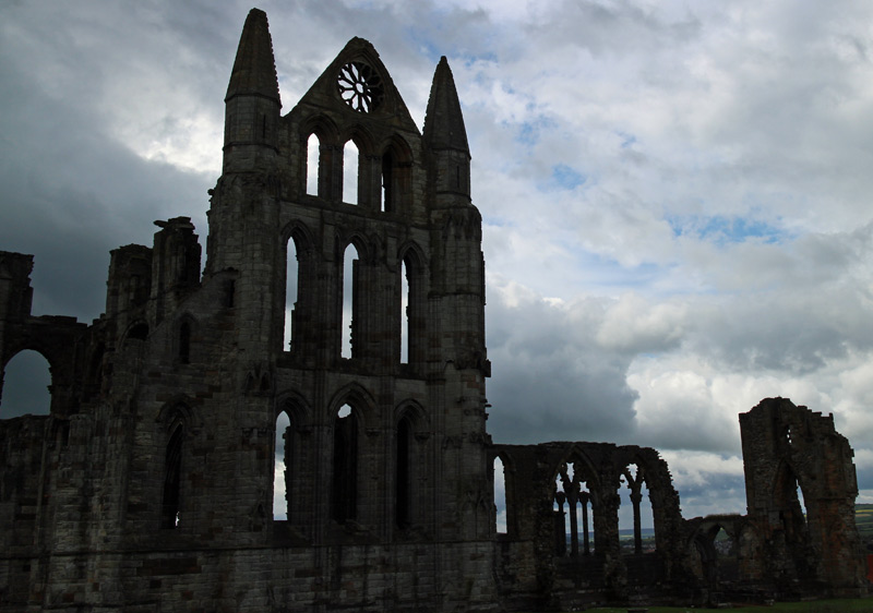
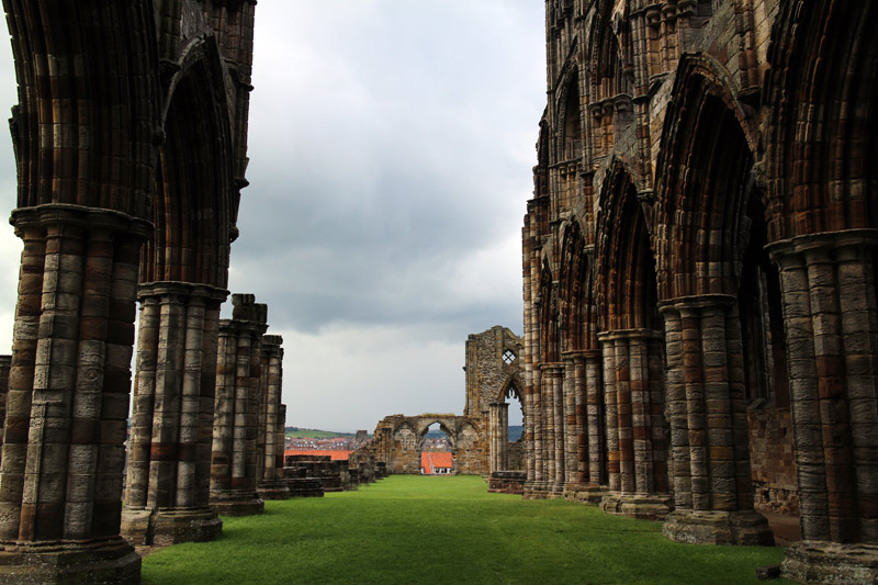
Whitby Abbey, managed by English Heritage, and well worth a visit

Back in the town, we wandered around the interesting old streets for a while

The famous 199 steps leading from St Mary’s Church back into the town
Looking back towards St Mary’s Church
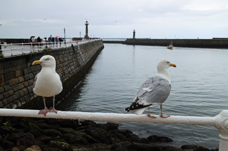
We walk down to the pier before turning back to the car park - what a fascinating walk it had been!
